The best MTB trails around Falvaterra
4.2
(40)
530
riders
58
rides
Mountain biking around Falvaterra offers a diverse range of routes through hilly terrain with notable elevation changes. The area features a mix of forested paths and open landscapes, providing varied riding experiences. Routes often include significant climbs and descents, characteristic of the region's topography. This makes Falvaterra suitable for mountain bikers seeking both endurance challenges and scenic rides.
Best mountain bike trails around Falvaterra
- The most popular mountain bike trail is Boundary Marker No. 56 loop from Ceprano-Falvaterra, a…
Last updated: May 11, 2026
18
riders
72.9km
06:13
1,900m
1,900m
Hard mountain bike ride. Very good fitness required. Suitable for all skill levels.
15
riders
59.1km
03:43
780m
780m
Moderate mountain bike ride. Good fitness required. Suitable for all skill levels.

Sign up for free
5
riders
Moderate mountain bike ride. Good fitness required. Suitable for all skill levels.
5.0
(1)
6
riders
41.1km
02:29
470m
470m
Moderate mountain bike ride. Good fitness required. Suitable for all skill levels.
6
riders
33.9km
02:37
700m
690m
Moderate mountain bike ride. Good fitness required. Suitable for all skill levels.
Get access to more routes and recommendations from other explorers.
Sign up for free
Already have an account?
Our route recommendations are based on thousands of hikes, rides, and runs completed by other people on komoot.
Start today with a free account
Your next adventure awaits.
Login or Signup
Popular around Falvaterra

Tips from the Community

This walkway runs along the city walls. There are steps and steps (I took them on my bike going down and up I carried the bike on my shoulder) but it is worth going a few meters to enjoy the view of the Parco dei Monti Aurunci and to visit this particular medieval construction. Reachable from the historic center
0
0

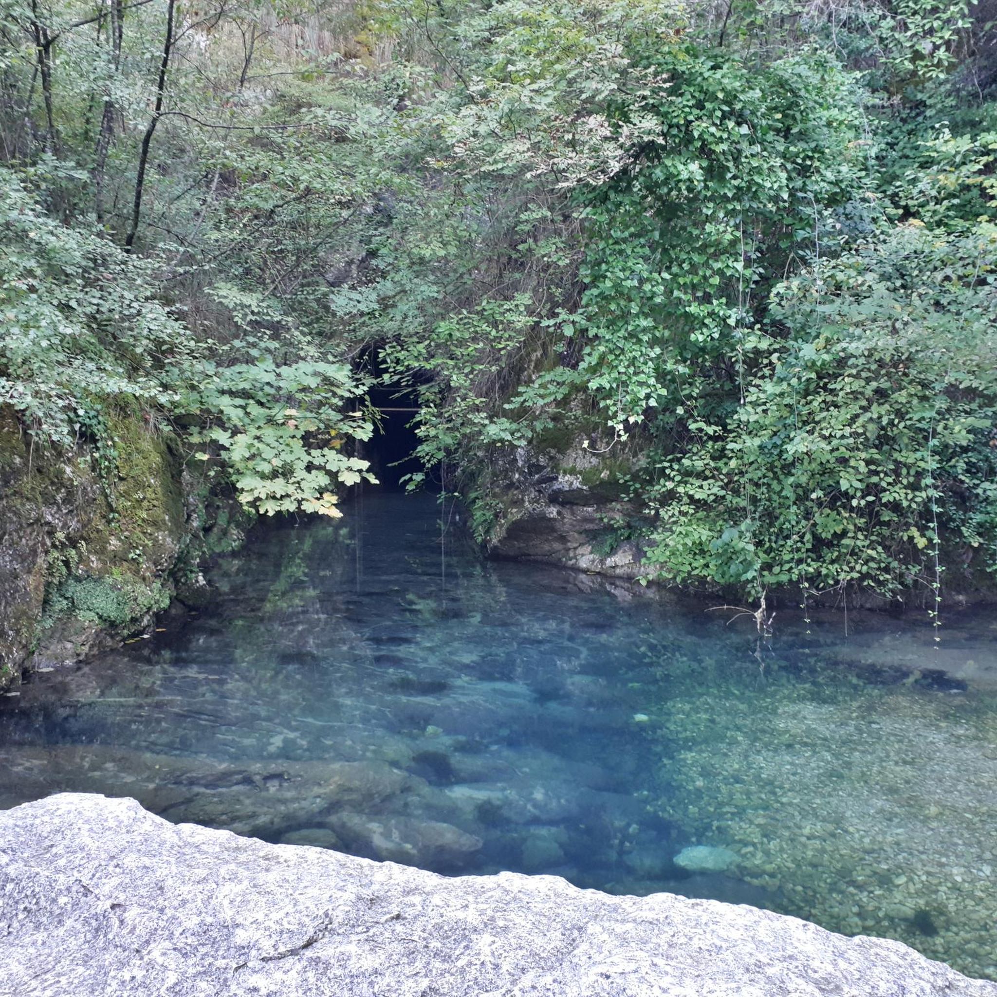
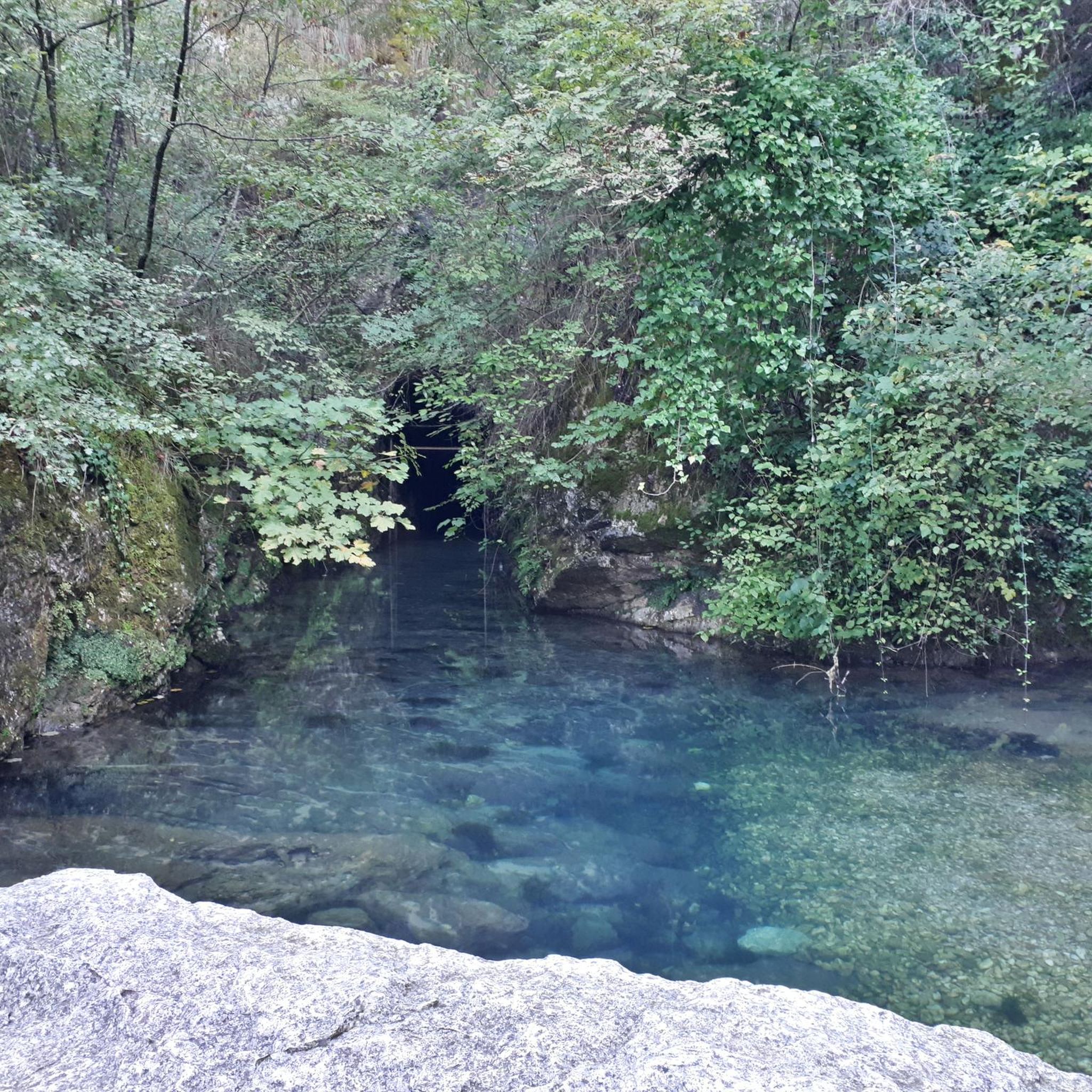
The caves are open to visitors and there are places to eat or a small fountain to refill your water bottles.
0
0


Cippo No. 56, one of the 700 places in the 19th century along the border between the ancient Papal State and the Kingdom of Naples.
1
0
The site of Casale di Madonna del Piano, in the municipality of Castro dei Volsci, is located about 1 km away on the right bank of the Sacco river. Here, since 1984, a program of investigations has been carried out jointly by the Municipality and the Archaeological Superintendency for Lazio aimed at recovering the archaeological structures of a settlement with several phases from the late Republican age (1st century BC) to Early Middle Ages (VII-VIII century AD).
1
0
Monte Solo (511 m a.s.l.) is a hill of the Ausoni Mountains in the Lazio Anti-Apennines. On the top of the mountain there are two iron statues, 14 meters high, depicting the patron saints of the village Sant'Elena and San Sinforo martyr. The two statues were placed there on the occasion of the jubilee year.
1
0
Frequently Asked Questions
How many mountain bike trails are available around Falvaterra?
There are over 50 mountain bike trails around Falvaterra, offering a diverse range of routes through hilly terrain with notable elevation changes. These include options for various ability levels.
Are there mountain bike trails suitable for beginners in Falvaterra?
Yes, Falvaterra offers 7 easy mountain bike trails. These routes are generally shorter and have less demanding climbs, making them ideal for those new to mountain biking or looking for a more relaxed ride.
What kind of terrain can I expect on mountain bike trails in Falvaterra?
The terrain around Falvaterra is characterized by rolling hills, forested sections, and open country paths. You'll encounter a mix of surfaces, from dirt tracks to gravel, with routes often including significant climbs and descents that reflect the region's topography.
Are there challenging mountain bike routes for experienced riders?
Absolutely. Falvaterra features 15 difficult mountain bike trails designed for experienced riders seeking a challenge. These routes often involve substantial elevation gain and technical sections. An example is the Castle of the Oaks – La Portella loop from Pico, which covers 32.0 miles (51.6 km) with over 1000 meters of ascent.
Can I find mountain bike trails that are loop routes?
Many of the mountain bike trails around Falvaterra are designed as loops, allowing you to start and finish at the same point. For instance, the popular Boundary Marker No. 56 loop from Ceprano-Falvaterra is a 36.7 miles (59.1 km) circular trail.
What do other mountain bikers say about the trails in Falvaterra?
The mountain bike trails in Falvaterra are highly rated by the komoot community, with an average score of 4.0 stars from over 30 reviews. More than 500 mountain bikers have used komoot to explore the varied terrain, often praising the scenic views and diverse riding experiences.
Are there any interesting landmarks or attractions to see along the mountain bike trails?
While riding the trails, you can explore several interesting landmarks. Consider visiting the Sanctuary of Madonna del Colle or the Archaeological Complex of Madonna del Piano. For panoramic views, the Monte Solo Summit offers a great vantage point.
Are there any mountain bike routes that pass by water bodies?
Yes, some routes traverse varied terrain including sections near water bodies. The Boundary Marker No. 56 – Lakes of Ceprano loop from Isoletta-San Giovanni Incarico is a notable example, offering views of the region's natural landscapes and proximity to the Lakes of Ceprano.
What is a moderately difficult mountain bike trail I can try?
A good option for a moderately difficult trail is the Cemented Climb loop from Pico. This 23.9 miles (38.4 km) route features significant elevation changes suitable for riders with some experience, taking approximately 2 hours 6 minutes to complete.
Are there shorter mountain bike routes available in Falvaterra?
Yes, for those looking for a shorter ride, the Mountainbike loop from Ceprano is a good choice. This route is 14.3 miles (23.0 km) long and can typically be completed in under 2 hours, offering a moderate challenge.
What is the typical elevation gain on mountain bike trails in Falvaterra?
Mountain bike trails in Falvaterra often feature substantial elevation gain, characteristic of the region's hilly topography. For example, the Boundary Marker No. 56 loop from Ceprano-Falvaterra has an elevation gain of over 780 meters, while more challenging routes can exceed 1000 meters of ascent.
Most popular attractions around Falvaterra

Get inspired with the komoot mobile app


Explore more
Browse the best MTB trails in other regions.
