The best running trails around Campodimele
4.5
(3)
148
runners
15
runs
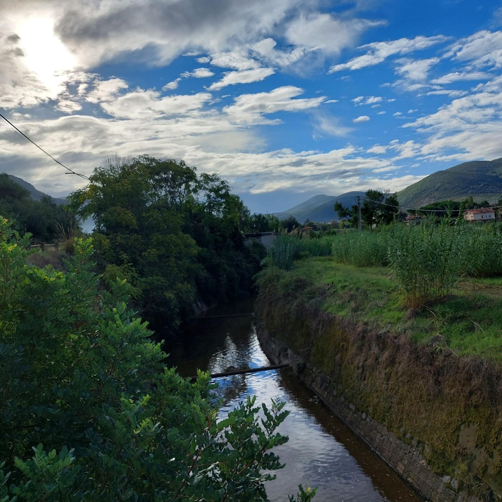
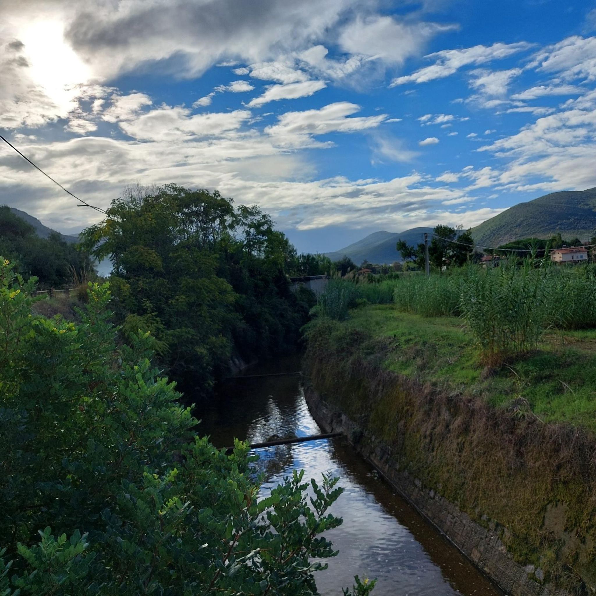
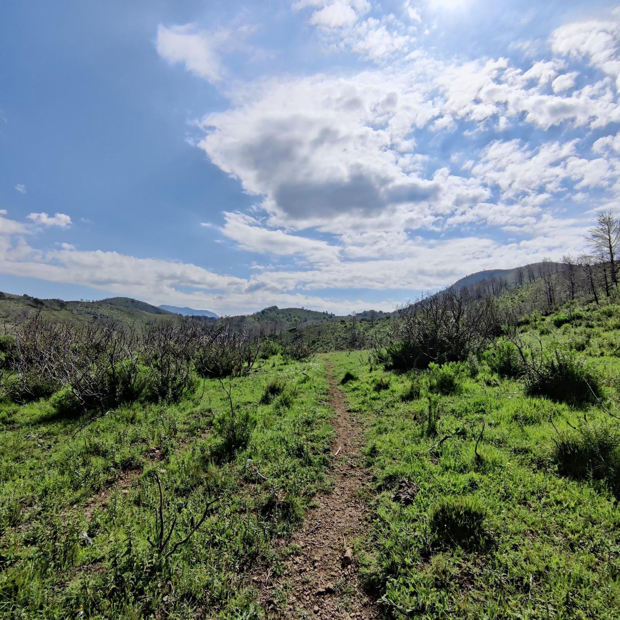
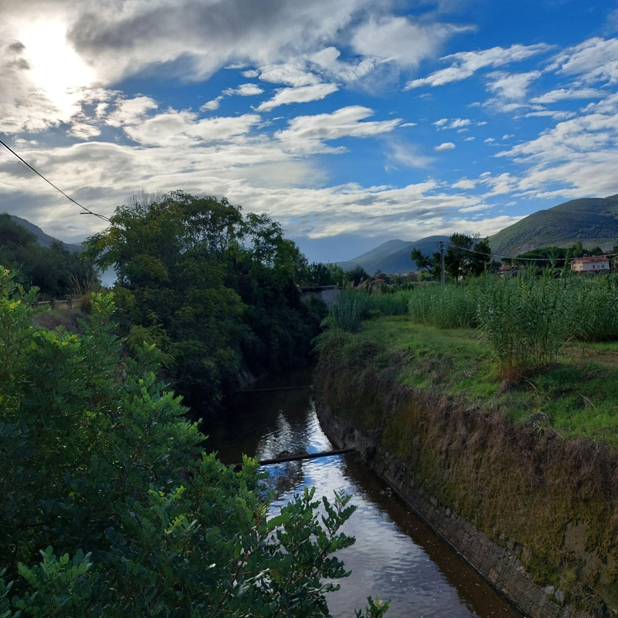
Jogging routes around Campodimele are set within the Monti Aurunci Regional Park, a region characterized by diverse landscapes. The area features rocky, limestone slopes, dense beech forests on northern slopes, and Mediterranean scrub on maritime slopes. Its elevated position provides expansive views across the Liri Valley and surrounding mountainous terrain, offering a varied environment for running.
Best jogging routes around Campodimele
- The most popular jogging route is From Fonte Canale to Monte Petrella, a 4.1 miles (6.6 km) moderate…
Last updated: July 22, 2026
6.62km
00:58
290m
290m
Moderate run. Good fitness required. Mostly accessible paths. Some sure footedness required.
60
runners
Hard run. Very good fitness required. Mostly paved surfaces. Suitable for all skill levels.

Sign up for free
55
runners
Hard run. Very good fitness required. Mostly paved surfaces. Suitable for all skill levels.
7
runners
Hard run. Very good fitness required. Mostly paved surfaces. Suitable for all skill levels.
4.0
(1)
5
runners
7.71km
00:48
50m
50m
Moderate run. Good fitness required. Mostly paved surfaces. Suitable for all skill levels.
Get access to more routes and recommendations from other explorers.
Sign up for free
Already have an account?
Our route recommendations are based on thousands of hikes, rides, and runs completed by other people on komoot.
Start today with a free account
Your next adventure awaits.
Login or Signup
Tips from the Community

Beautiful trail, also suitable for cycling, naturally downhill, at times very stony and loose with very large rocks, steps, and rocky parts. The gradients in some sections are double-digit but for short stretches. Excellent riding skills or carrying the bike are required. The panorama repays the difficulties.
0
0
Once at the top of the climb, a wonderful panorama opens up over the valley with a view of Christ the Redeemer.
0
0

The climb to the Redentore rewards with a breathtaking panorama of the Gulf of Gaeta
0
0

This saddle is fast and allows you to catch your breath before the last ramps that give access to the monument.
0
0
It's the real reward for all the climbing. The ramps that lead up to the monument are technically challenging. Lower the saddle, put a hard gear and push all the way to the top.
2
0
Challenging until the end where roots and rocks increase the difficulty level but also the technical fun
0
0

In my opinion one of the most worthwhile views of the Aurunci
0
0
Breathtaking view on a beautiful day
0
0
Frequently Asked Questions
How many running routes are available around Campodimele?
There are over 10 dedicated running routes around Campodimele, offering a variety of experiences within the Monti Aurunci Regional Park. These include options for moderate and challenging ability levels.
What kind of terrain can I expect on the jogging trails in Campodimele?
The running routes around Campodimele are set within the Monti Aurunci Regional Park, characterized by diverse landscapes. You'll encounter rocky, limestone slopes, dense beech forests on northern slopes, and Mediterranean scrub on maritime slopes. The elevated position provides expansive views across the Liri Valley and surrounding mountainous terrain.
Are there easy running routes suitable for beginners in Campodimele?
While many routes offer a challenge, you can find options suitable for a more relaxed jog. For example, the "Hermitage of Santa Maria Romana – Jardí Botànic de Poblet loop from Passo Le Crocette" is an easier 6.05 km route with less elevation, perfect for a gentle run. Additionally, the alleys of Campodimele's old town center offer opportunities for urban jogging with scenic rewards.
Are there challenging trails for experienced runners in the area?
Yes, Campodimele offers several challenging trails for experienced runners. Routes like Monte Sant'Angelo Summit – Fontana di Canale loop from Area del Pellegrino Fossa Massaraccio (12.5 km) and Cima del Redentore – Monte Moleta loop from Area del Pellegrino Fossa Massaraccio (11.0 km) feature significant elevation changes and panoramic views, requiring good fitness. The "Monte Faggeto – Rifugio Faggeto loop from Campodimele" is another 12.2 km option for those seeking a demanding trail run.
What scenic viewpoints or natural features can I see while running?
Many routes offer stunning vistas. The elevated position of Campodimele provides expansive views across the Liri Valley and the surrounding mountainous terrain. You can also find natural monuments like the Sette Acque Spring and the impressive Cima del Redentore (Monte Altino). The alleys of Campodimele's old town center offer views of Monte Faggeto and the distant Monte Ruazzo, including the Gulf of Gaeta.
Are there any waterfalls along the running paths?
Yes, the region features natural attractions including waterfalls. You might encounter the Cascata della Mola, a notable waterfall in the vicinity, which can be a refreshing sight during your run.
What historical or cultural sights can I explore while jogging in Campodimele?
Jogging through Campodimele's well-preserved medieval center offers a unique blend of physical activity and cultural exploration. You can run along narrow stone streets, past medieval walls with their towers, and historic churches like San Michele Arcangelo. The "Via dell'Amore" (Way of Love), a walkway outside the medieval walls, provides romantic views of the valleys. The Hermitage of St. Michael the Archangel is another significant historical site.
What do other runners enjoy the most about jogging in Campodimele?
The running routes in Campodimele are highly rated by the komoot community, with an average score of 4.5 stars from over 3 reviews. Runners often praise the varied mountain terrain, the panoramic views, and the challenging ascents towards summits, making for a rewarding outdoor experience.
Are there any circular running routes available?
Yes, many of the routes around Campodimele are designed as loops, allowing you to start and end in the same location. Examples include Monte Sant'Angelo Summit – Fontana di Canale loop from Area del Pellegrino Fossa Massaraccio and Cima del Redentore – Monte Moleta loop from Area del Pellegrino Fossa Massaraccio, providing convenient options for your run.
Can I find long-distance running trails in the Campodimele area?
Absolutely. For those looking for longer distances, routes like Monte Arcano – La Torricella loop from Monumento Naturale Mola delle Corte Settecannelle Capodacqua covers nearly 14.5 km, offering an extended running experience through varied landscapes.
Is Campodimele suitable for family-friendly jogging?
While many trails involve elevation, the historic center of Campodimele offers pedestrian-friendly areas suitable for lighter jogging or walks with the family. For trails, it's best to check individual route descriptions for difficulty and terrain to ensure they are appropriate for all family members.
What is the best time of year to go running in Campodimele?
The Monti Aurunci Regional Park offers diverse environments, making it enjoyable across seasons. Spring and autumn generally provide the most pleasant temperatures for running. Summer can be warm, especially on exposed slopes, while winter might bring cooler temperatures and potentially snow at higher elevations, offering a different kind of challenge.
Most popular attractions around Campodimele

Get inspired with the komoot mobile app


Explore more
Browse the best Running Trails & Routes in other regions.
