The best mountain hikes around Anterivo - Altrei
4.9
(34)
250
hikers
3
hikes
Mountaineering routes around Anterivo - Altrei are situated at an elevation of 1,209 meters above sea level, blending Mediterranean and Alpine characteristics. The region is an enclave within the Trudner Horn Nature Park, featuring diverse landscapes including wetlands, moors, meadows, extensive woods, and unique larch meadows. This area offers panoramic views of the Cembra Valley, Monte Bondone, and the Lagorai mountain range, providing a varied backdrop for mountaineering. Its rugged terrain and varied elevation gains make it suitable for challenging…
Last updated: May 24, 2026
4.7
(7)
38
hikers
Hard mountaineering route. Good fitness required. Sure-footedness, sturdy shoes and alpine experience required.
5.0
(4)
25
hikers
Hard mountaineering route. Very good fitness required. Sure-footedness, sturdy shoes and alpine experience required.

Sign up for free
4.5
(2)
16
hikers
Easy mountaineering route. Great for any fitness level. Easily-accessible paths. Suitable for all skill levels.
4.8
(4)
20
hikers
Hard mountaineering route. Good fitness required. Sure-footedness, sturdy shoes and alpine experience required.
5.0
(1)
15
hikers
8.61km
03:26
550m
550m
Moderate mountaineering route. Good fitness required. Mostly accessible paths. Sure-footedness required.
Our route recommendations are based on thousands of hikes, rides, and runs completed by other people on komoot.
Start today with a free account
Your next adventure awaits.
Login or Signup
Popular around Anterivo - Altrei
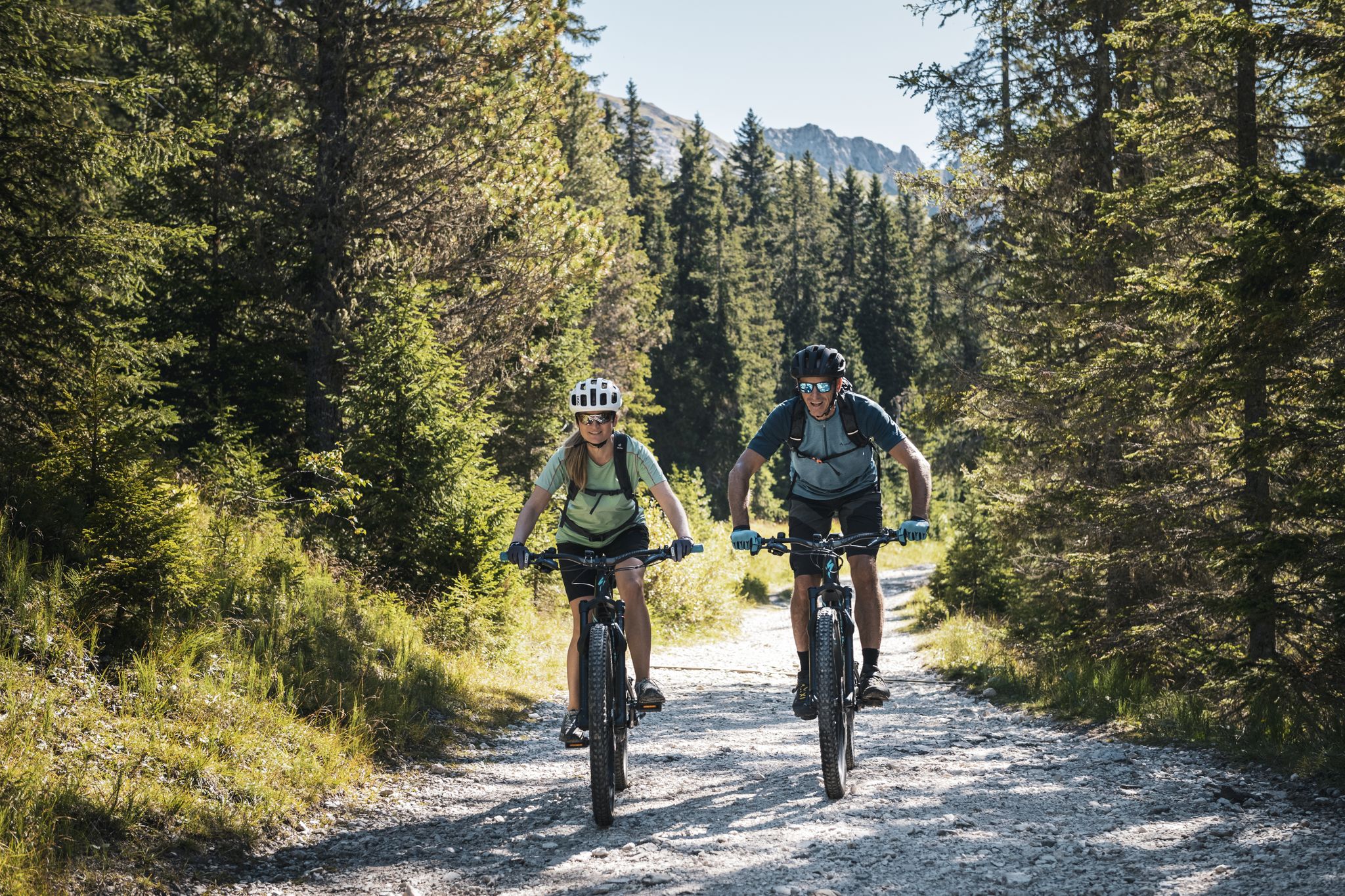
As yet undiscovered South Tyrol – secret MTB adventures
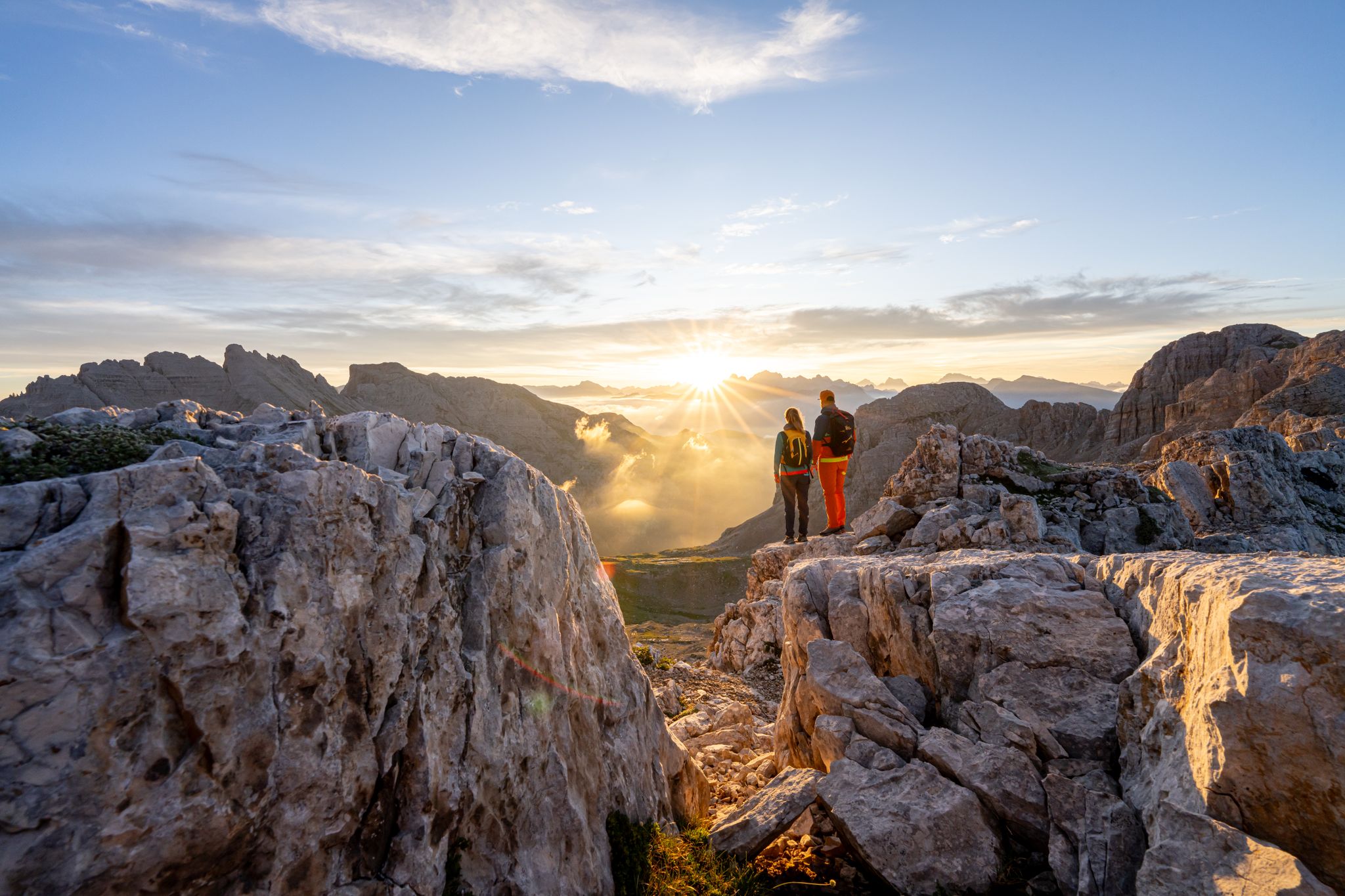
Dolomite Panoramas – 10 excursions in Val di Fiemme
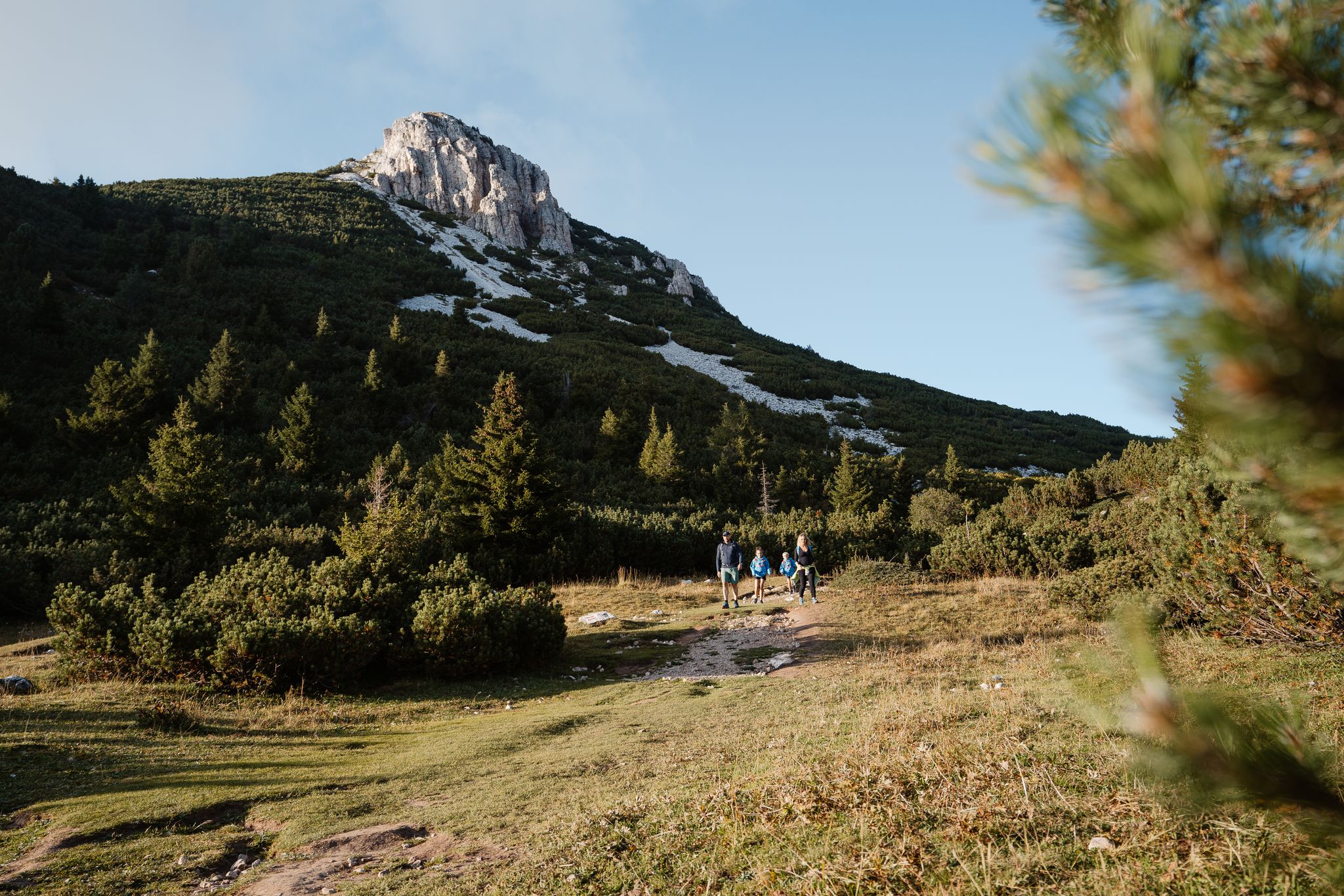
A path of contrasts – SchwarzWeiss Trail in the South Tyrolean lowlands
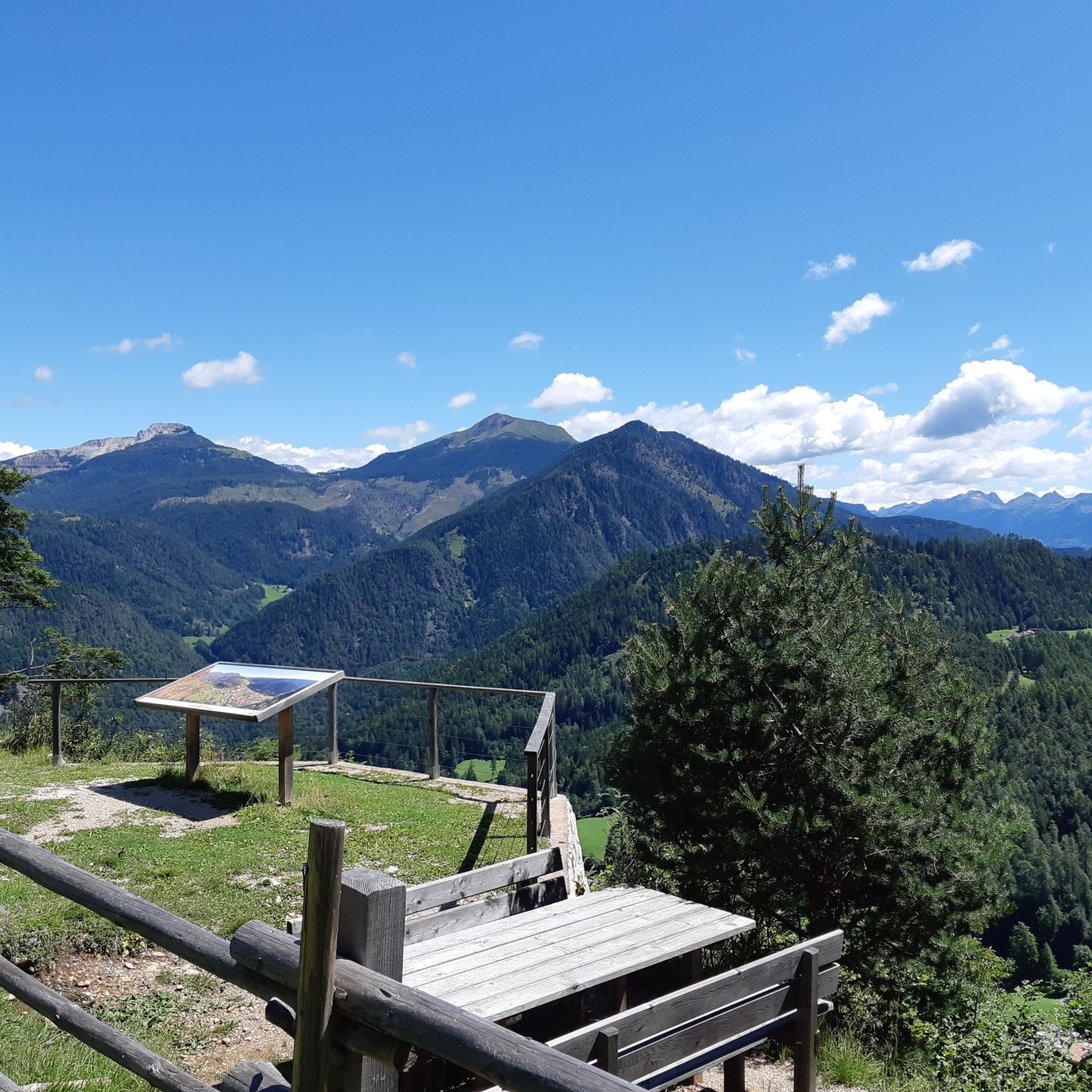
Hiking around Anterivo - Altrei
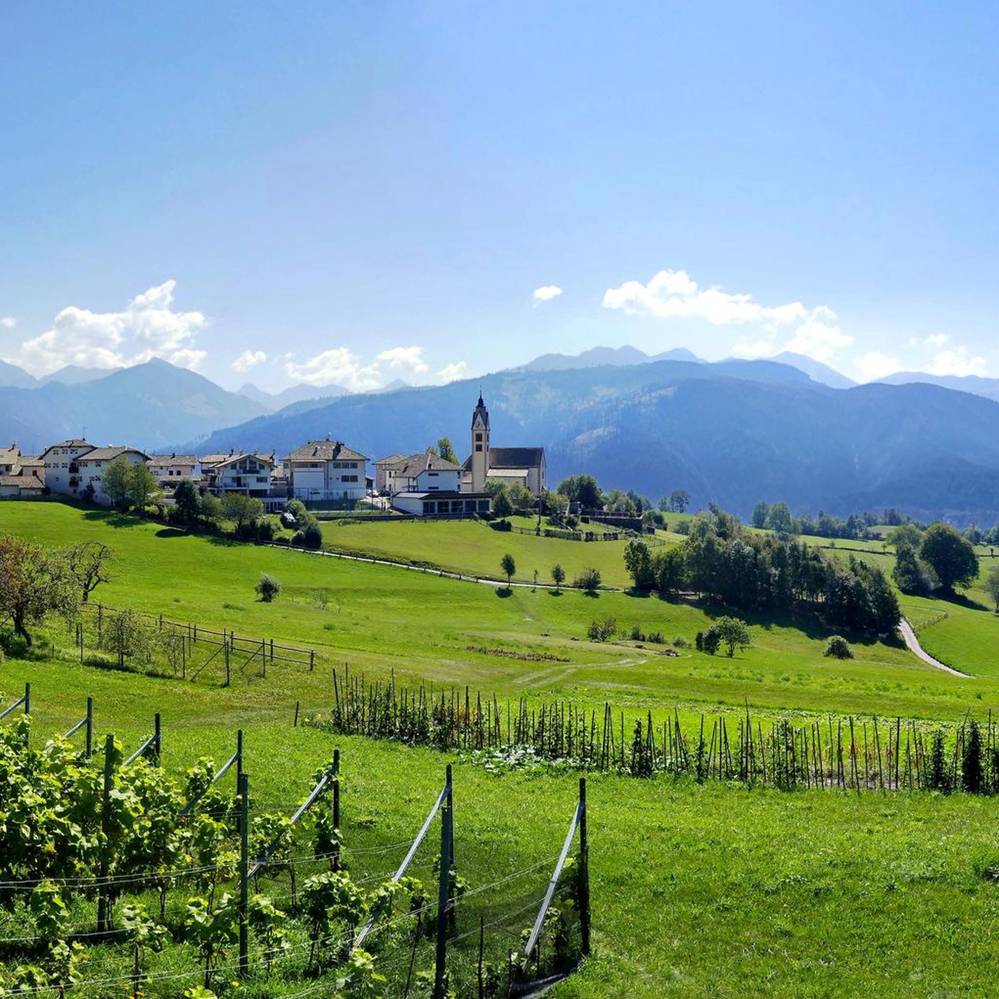
MTB Trails around Anterivo - Altrei
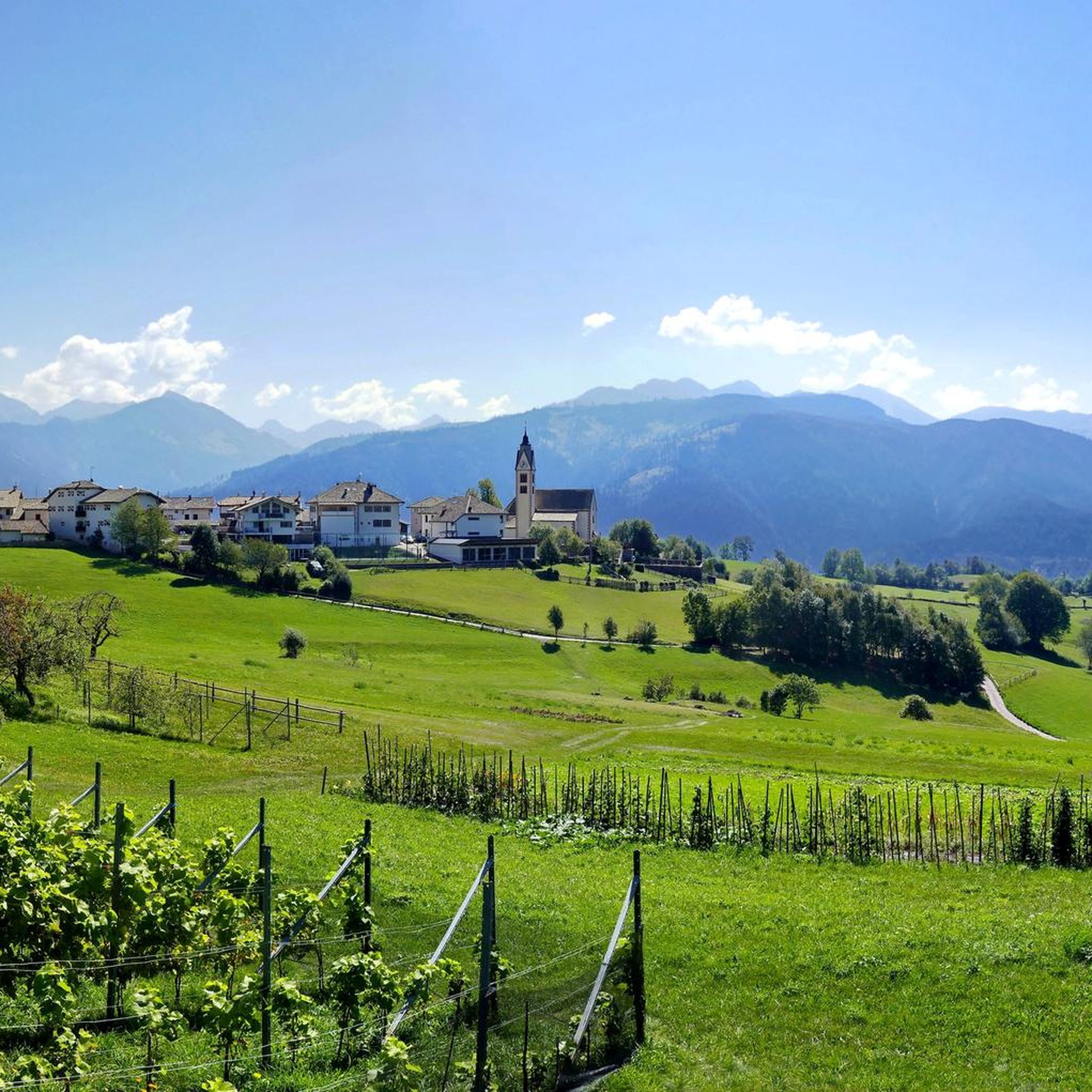
Road Cycling Routes around Anterivo - Altrei
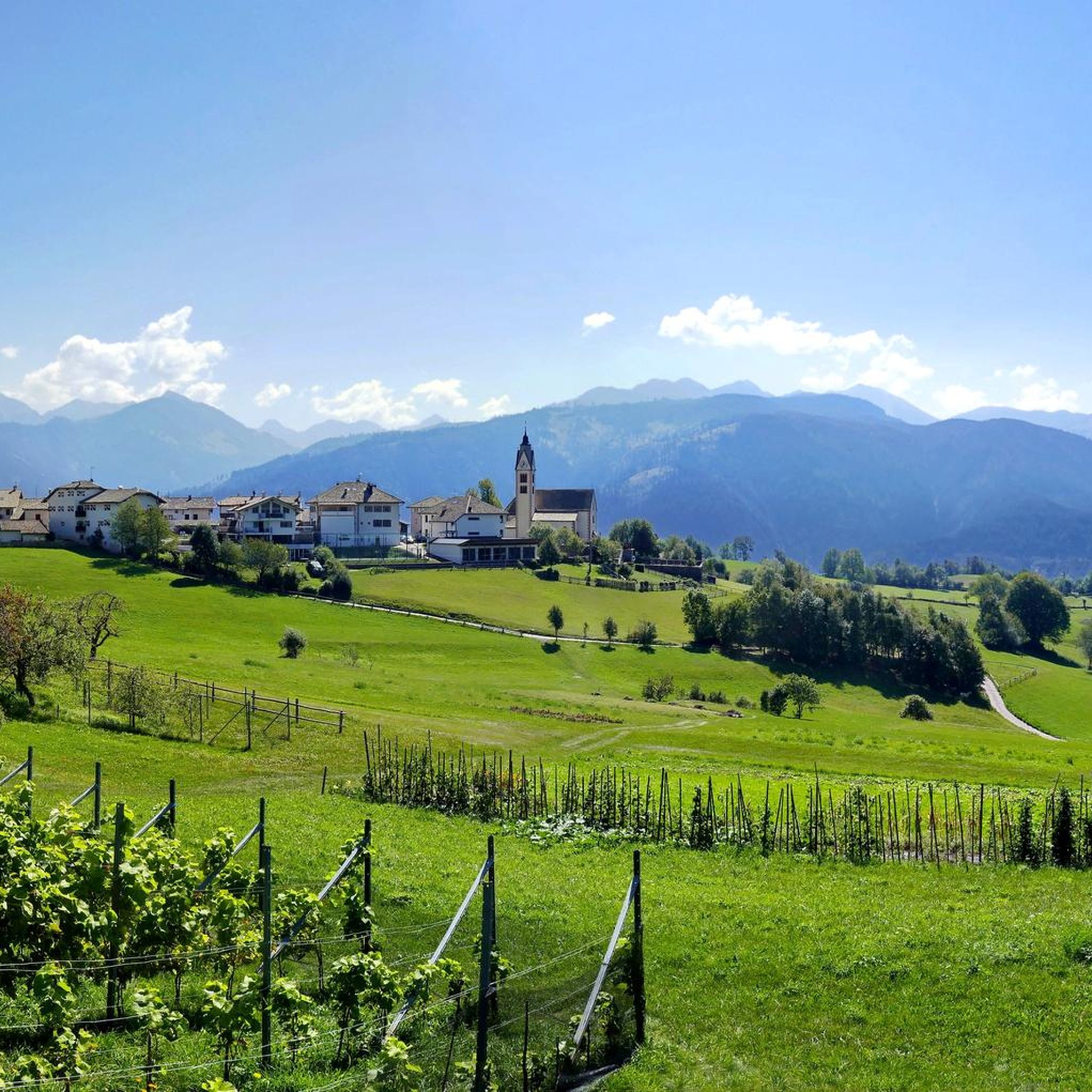
Running Trails around Anterivo - Altrei
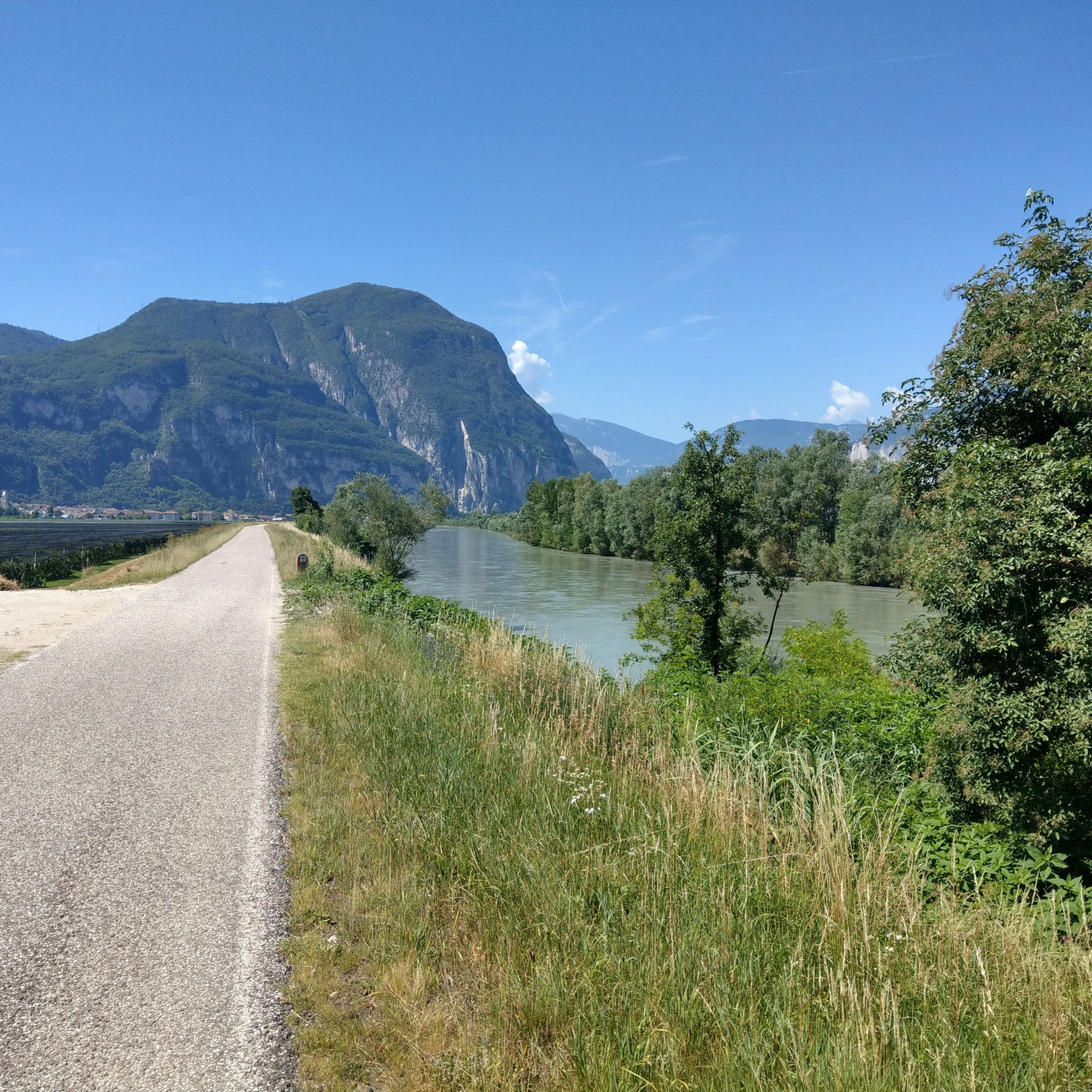
Cycling around Anterivo - Altrei

Gravel biking around Anterivo - Altrei
Other adventures around Anterivo - Altrei


Tips from the Community

Perfectly located after a hike through the Bletterbach Gorge. Delicious cheese dumplings and Kaiserschmarrn (sweet pancakes). The gorge is definitely worth a visit. We were there around lunchtime, so the light was good.
0
0

The landscape is splendid
0
0


Interesting because you can see all the rock layers for a few hundred meters in height.
0
0

From the Jochgrimm mountain hotel
0
0

Panoramic point suitable for a stop, with fountain and tables, also useful in case of storms since it has a room with a door.
0
0

Status of the tip: February 2025 (Photo book, recording the tour in Komoot and stuff like that :) ) Information on opening times: https://www.lahner-alm.com/ We liked the food at the Alm.
0
0
Jagersteig. Is the name of 'the path'.
1
0
Frequently Asked Questions
What kind of terrain can I expect on mountaineering routes in Anterivo - Altrei?
Mountaineering routes in Anterivo - Altrei feature a diverse landscape, blending Mediterranean and Alpine characteristics. You'll encounter wetlands, moors, meadows, extensive woods, and unique larch meadows. The terrain is rugged with varied elevation gains, offering challenging alpine trails and panoramic views of the Cembra Valley, Monte Bondone, and the Lagorai mountain range.
Are there any easy mountaineering routes for beginners in Anterivo - Altrei?
While many routes are challenging, there is an easy mountaineering option available. Consider the Descent into the Bletterbach Gorge – Bletterbach Gorge loop from Dolomites UNESCO World Heritage - GEOPARC Bletterbach. This route offers a good introduction to the region's unique geological features.
What are some challenging mountaineering routes in the area?
For experienced mountaineers, the region offers several demanding routes. The Weißhorn Summit – Cable and steps loop from Jochgrimm - Passo Oclini is a difficult trail with sections featuring cables and steps. Another challenging option is the Lago di Bombasel – Cima di Bombasel loop from Fleimstaler Alpen - Dolomiti di Fiemme, which explores the Fleimstaler Alpen and ascends to a summit.
Are there any circular mountaineering routes in Anterivo - Altrei?
Yes, several routes are designed as loops. For a challenging circular experience, try the Ascent to Weißhorn – Weißhorn Summit loop from Dolomites UNESCO World Heritage - GEOPARC Bletterbach, a 7.5-mile trail. Another option is the Weißhorn Summit – Gurndinalm loop from Jochgrimm - Passo Oclini, which offers a difficult ascent and descent.
What natural attractions can I see along the mountaineering routes?
The region is rich in natural beauty. You can explore the Bletterbach Gorge, a UNESCO World Heritage site, and discover the Butterloch Waterfall within it. There are also the Schwarzenbach Waterfalls and the scenic Bombasel Lakes.
Are there any viewpoints offering panoramic vistas?
Absolutely. The region provides stunning panoramic views of the Cembra Valley, Monte Bondone, and the majestic Lagorai mountain range. A notable viewpoint is the View of the Adige Valley, Lake Caldaro, and the Dolomites, which can be incorporated into your mountaineering plans.
What is the best time of year for mountaineering in Anterivo - Altrei?
Anterivo - Altrei benefits from a climatically favorable, south-facing position. While specific recommendations depend on the route's difficulty and snow conditions, the warmer months from late spring to early autumn generally offer the most suitable conditions for mountaineering, allowing access to higher elevations and more challenging trails.
Is Anterivo - Altrei suitable for family-friendly mountaineering?
The Trudner Horn Nature Park, where Anterivo - Altrei is located, offers a range of trails. While many mountaineering routes are challenging, there are also easier paths and attractions like the Anterivo Village and Pond that can be enjoyed by families. For specific mountaineering, assess the difficulty of individual routes carefully.
What do other mountaineers say about the routes in Anterivo - Altrei?
The mountaineering routes in Anterivo - Altrei are highly rated by the komoot community, with an average score of 4.9 stars from over 35 reviews. Mountaineers often praise the diverse landscapes, from wetlands to larch meadows, and the challenging ascents to summits and mountain huts.
Are there any mountain huts or facilities along the routes?
Yes, the region features mountain huts that can serve as destinations or rest stops. The Ascent to Rifugio Malga Monte Corno is a moderate path leading to a mountain hut. You can also find facilities like the Bletterbach Geopark Visitor Center near some routes.
Can I bring my dog on the mountaineering trails?
The Trudner Horn Nature Park, which encompasses Anterivo - Altrei, generally allows dogs on trails, but they must be kept on a leash. It's always advisable to check specific regulations for individual routes or protected areas within the park to ensure a pleasant and safe experience for everyone.
Most popular routes around Anterivo - Altrei
Most popular attractions around Anterivo - Altrei

Get inspired with the komoot mobile app


Explore more
Browse the best Mountain Hikes & Routes in other regions.
