The best mountain hikes around Baselga Di Pinè
5.0
(2)
85
hikers
13
hikes
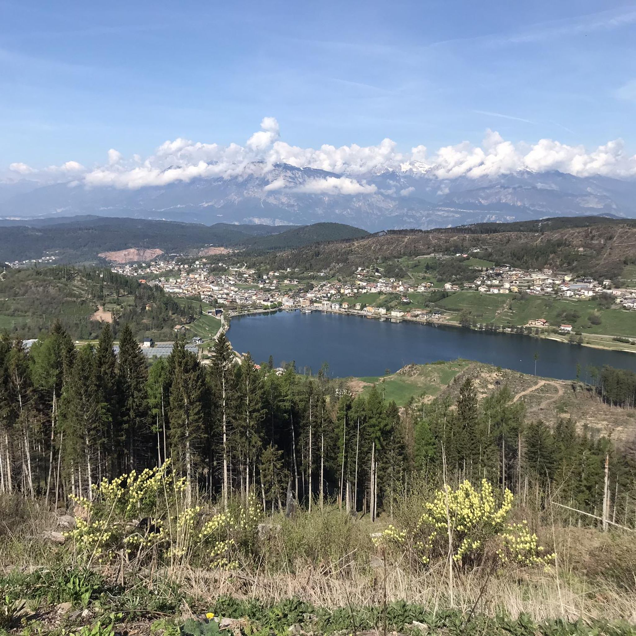
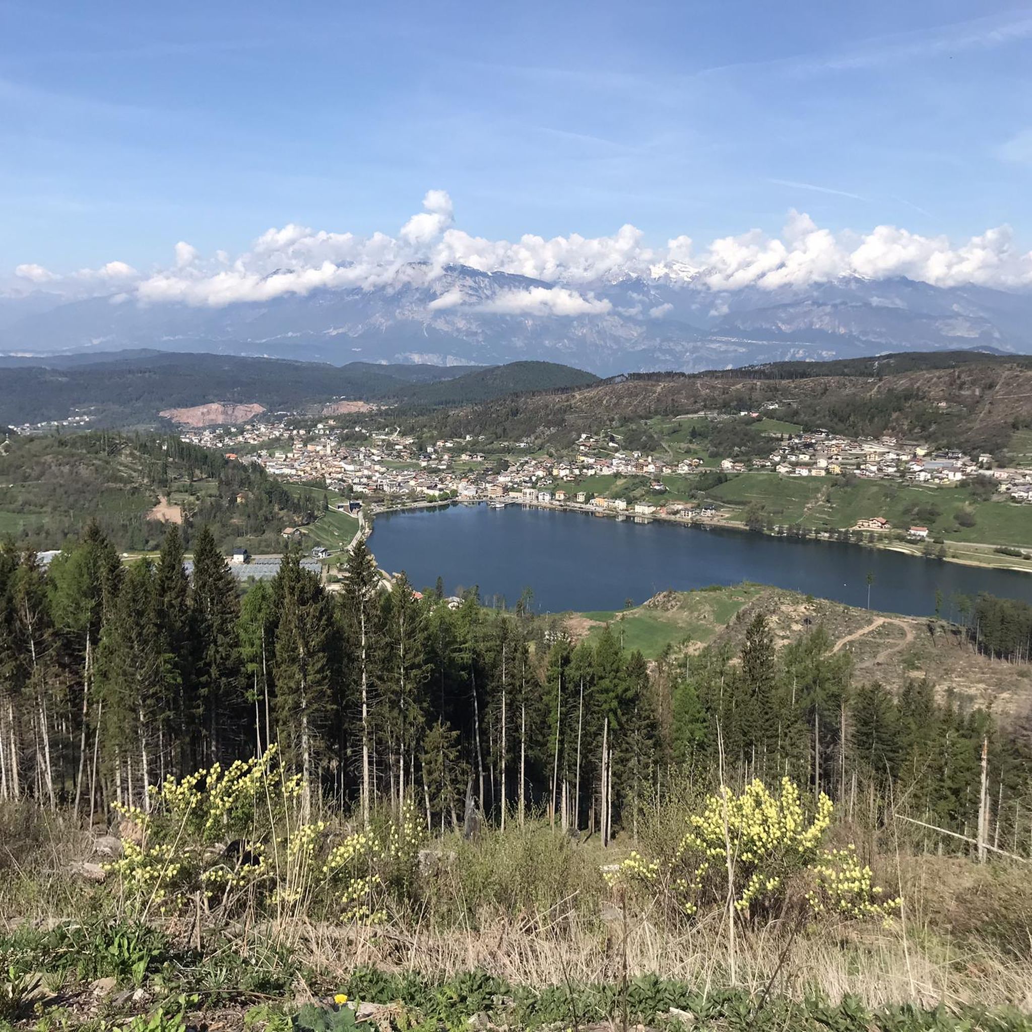
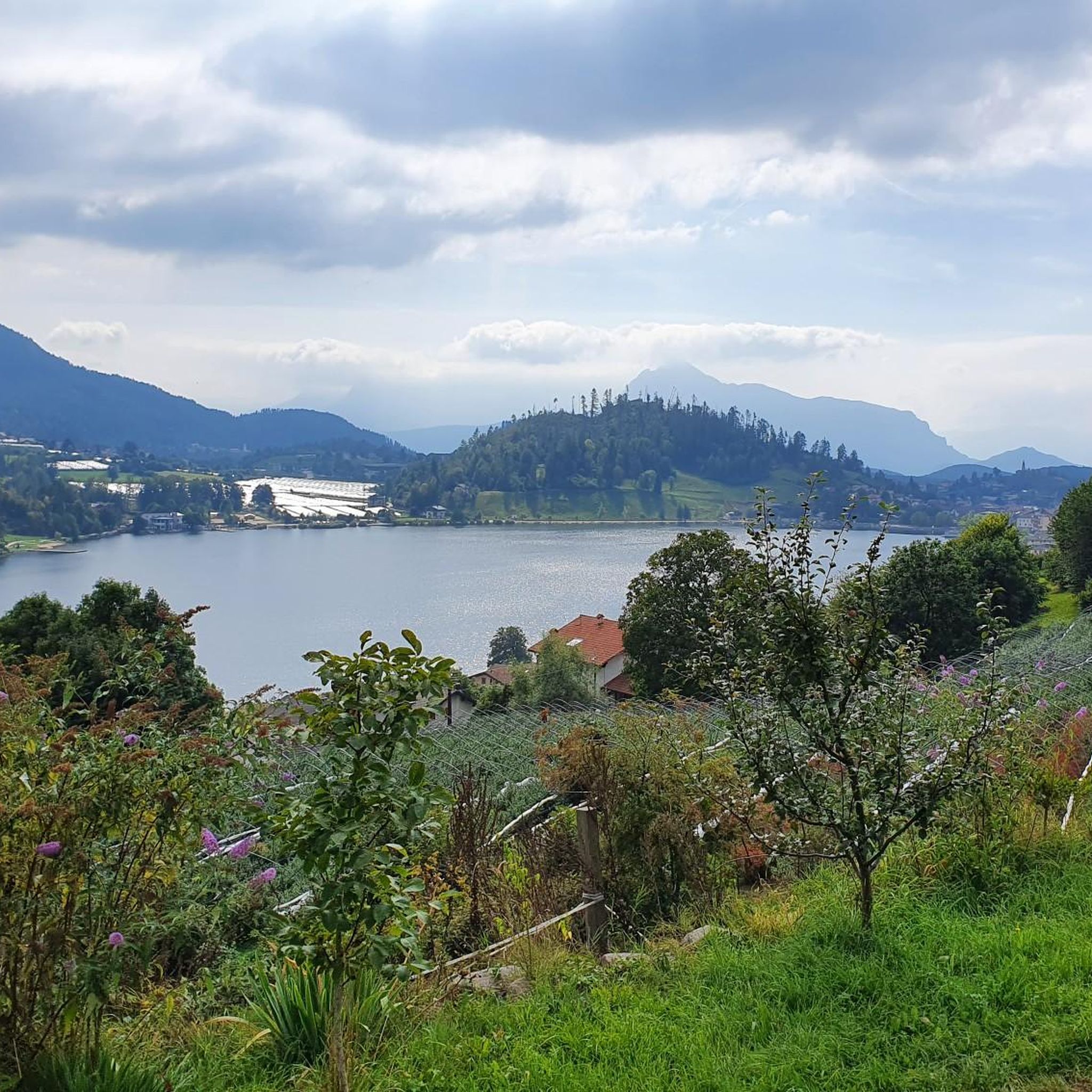
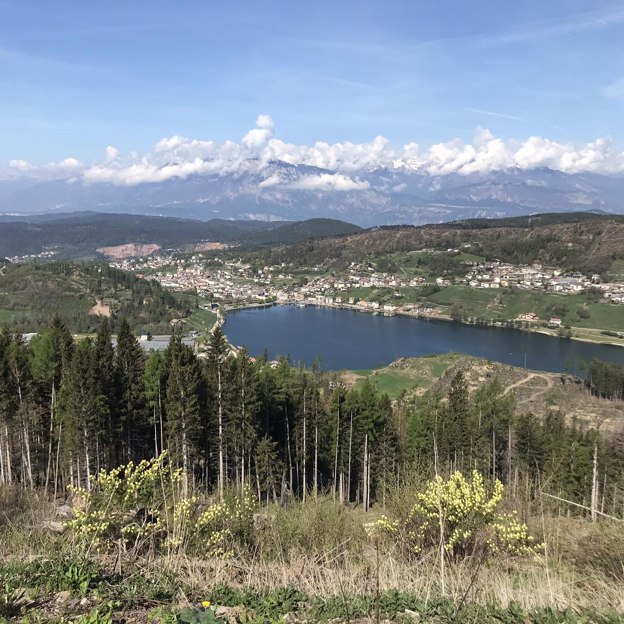
Mountaineering around Baselga Di Pinè, located in Italy's Trentino region, offers a diverse landscape characterized by expansive meadows, lush forests, and prominent lakes such as Lago di Serraia and Lago delle Piazze. The area provides panoramic views of the Brenta mountain chain and is situated at the foot of the majestic Lagorai peaks, forming part of the high-altitude Pinè Plateau. This varied terrain, with its numerous marked trails, makes it a suitable destination for mountain and wilderness enthusiasts seeking challenging…
Last updated: October 9, 2026
5.0
(1)
19
hikers
Hard mountaineering route. Very good fitness required. Sure-footedness, sturdy shoes and alpine experience required.
5.0
(1)
17
hikers
Moderate mountaineering route. Good fitness required. Mostly accessible paths. Sure-footedness required.

15
hikers
Moderate mountaineering route. Good fitness required. Mostly accessible paths. Sure-footedness required.
6
hikers
15.0km
05:51
940m
940m
Hard mountaineering route. Very good fitness required. Mostly accessible paths. Sure-footedness required.
7
hikers
8.83km
03:49
470m
470m
Moderate mountaineering route. Good fitness required. Mostly accessible paths. Sure-footedness required.
Get access to more routes and recommendations from other explorers.
Already have an account?
Our route recommendations are based on thousands of hikes, rides, and runs completed by other people on komoot.
Start today with a free account
Your next adventure awaits.

Tips from the Community

Easily accessible refuge, nestled in a basin with a semicircle of rare beauty mountains
0
0
Junction point for the low crossing to Erdemolo lake
0
0
A point of reflection on all the misfortunes that unfortunately happen in the mountains and while cycling, despite experience
0
0

Beautiful, the right compromise for an easy outing for a beginner who seeks the wild mood of the Lagorai.
1
0


Fast circular route, beautiful view of the Dardemolo lake and the Sasso Rotto peak
0
0

Beautiful mountain refuge nestled among all the peaks, classic style, with breathtaking views of the surrounding peaks. I recommend a visit if you are in the area 😍🤩
0
0

Lago delle Buse is a small alpine lake of glacial origin located at 2,066 meters above sea level near Passo Manghen. Near the lake, near the surrounding paths, there are still ruins from the First World War. If you have enough time for a detour to reach the shores of the lake, you can enjoy a well-deserved break.
0
0
Frequently Asked Questions
How many mountaineering routes are available in Baselga Di Pinè?
There are over 15 distinct mountaineering routes around Baselga Di Pinè, offering a variety of experiences for mountain and wilderness enthusiasts. These routes range from moderate to difficult in intensity.
What is the general difficulty level of mountaineering routes in Baselga Di Pinè?
The mountaineering routes in Baselga Di Pinè are primarily classified as moderate to difficult. You'll find 7 moderate routes and 9 difficult routes, providing sustained climbing and varied alpine terrain suitable for experienced hikers.
Are there any circular mountaineering routes in Baselga Di Pinè?
Yes, Baselga Di Pinè offers several excellent circular routes. For a challenging experience, consider the Between the Two Peaks loop from Palù del Fersina - Palai en Bersntol, which is 7.9 miles (12.7 km) long. Another popular option is the Sasso Rotto – Cima di Sette Selle loop from Palù del Fersina - Palai en Bersntol, traversing varied alpine terrain. For a moderate option, the Passo dei Garofani – Rifugio Sette Selle loop from Palù del Fersina - Palai en Bersntol leads through mountain passes.
What kind of terrain can I expect on mountaineering routes around Baselga Di Pinè?
You can expect a diverse landscape featuring expansive meadows, lush forests, and prominent lakes like Lago di Serraia and Lago delle Piazze. The routes often provide panoramic views of the Brenta mountain chain and are situated at the foot of the majestic Lagorai peaks, characteristic of the high-altitude Pinè Plateau.
What natural features or landmarks can I see along the mountaineering routes?
The routes offer stunning natural features including the serene Lago di Serraia and Lago delle Piazze. You'll also encounter breathtaking panoramic views of the Brenta mountain chain and the Lagorai peaks. Specific highlights you might pass include Dosso di Costalta (1,955 m) and the Cros del Cuc viewpoint. The region is also known for its rich forests and meadows, particularly around the Laghestel biotope.
Are there routes with particularly rewarding panoramic views?
Absolutely. Many routes in Baselga Di Pinè offer spectacular panoramic views. The area is known for its vistas of the Brenta mountain chain and the majestic Lagorai peaks. Excursions to Dosso Costalta are particularly noted for views of the Lagorai range. The Cros del Cuc is another excellent viewpoint to seek out.
What do other mountaineers enjoy most about the routes in Baselga Di Pinè?
The routes in Baselga Di Pinè are highly rated by the komoot community, with an average score of 4.8 stars from 7 reviews. Mountaineers often praise the diverse landscape, the challenging ascents, and the rewarding panoramic views of the Brenta mountain chain and Lagorai peaks. The well-marked trails and the variety of terrain, from rocky sections to high-altitude meadows, are also frequently highlighted.
Is Baselga Di Pinè suitable for family-friendly mountaineering?
While many routes are moderate to difficult, the broader Pinè Plateau area offers a variety of trails. For families, it's best to look for shorter, less strenuous paths that focus on the lakes and forests rather than high-altitude mountaineering. The region's extensive network of trails includes options suitable for trekking and Nordic walking, which might be more appropriate for families with younger children.
Can I access mountaineering trails in Baselga Di Pinè using public transport?
Baselga di Pinè is well-connected within the Trentino region. While specific trailheads might require a short local bus ride or taxi from the main town, public transport options are available to reach the general area. For detailed information on bus schedules and routes, it's advisable to check local Trentino public transport services.
Are there opportunities for wild swimming near the mountaineering routes?
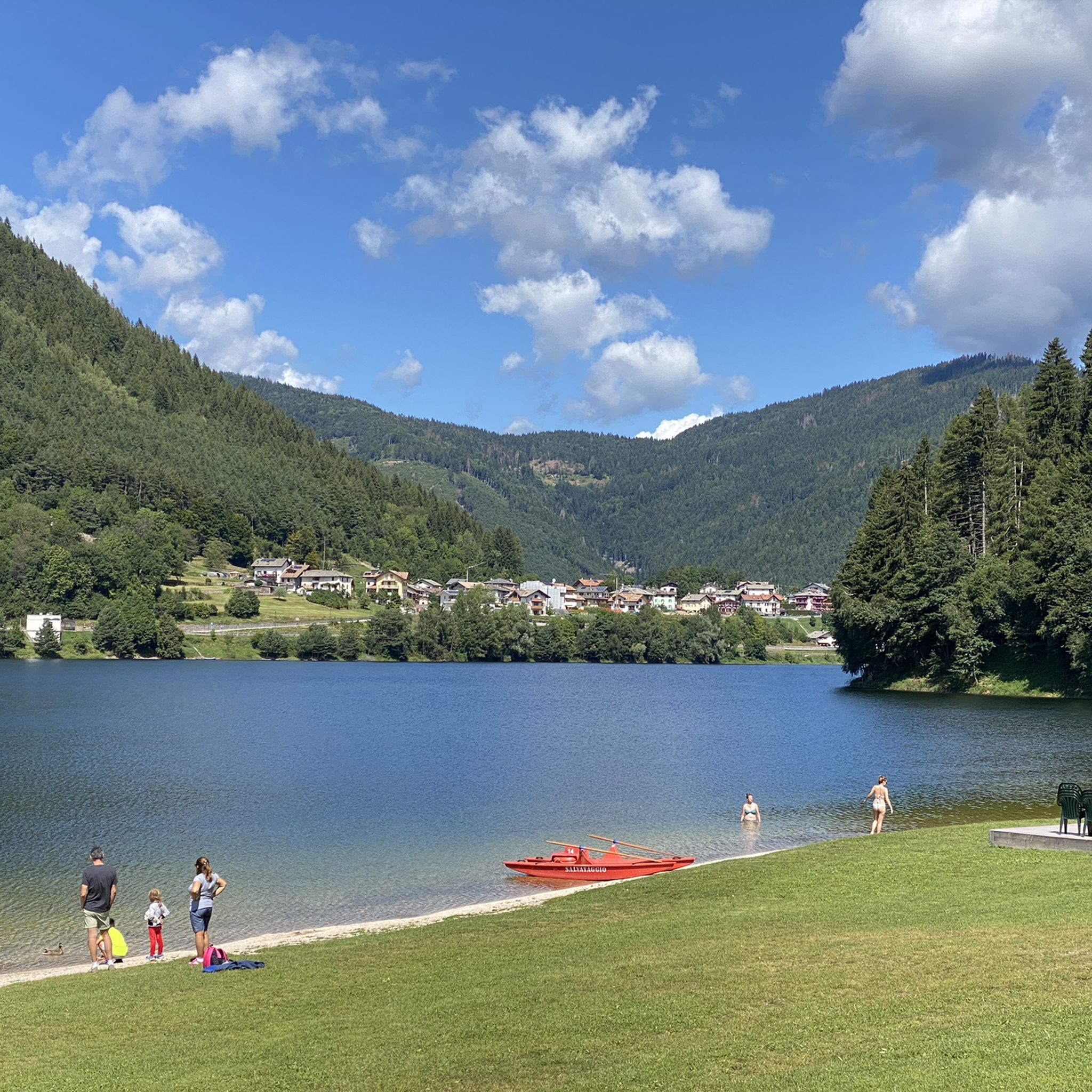
While the mountaineering routes themselves might not directly lead to wild swimming spots, the region is famous for its clear lakes. Lago di Serraia and Lago delle Piazze, prominent features of the area, invite activities like swimming, canoeing, and sailing. These lakes are easily accessible from Baselga di Pinè and can be a refreshing addition to a mountaineering trip.
What is the best time of year for mountaineering in Baselga Di Pinè?
The best time for mountaineering in Baselga Di Pinè is typically from late spring through early autumn (May to October) when the weather is most stable and trails are clear of snow. During these months, you can fully enjoy the lush forests, meadows, and high-altitude views. Winter offers opportunities for ice skating on the frozen lakes, but mountaineering conditions become significantly more challenging and require specialized gear and experience.
Are there any routes that include historical sites?
Yes, some routes in the broader Pinè Plateau area incorporate historical elements. For instance, there are grand circular routes that include sites like the 'Great War Austrian Barracks' at Monte Baitol, and treks along the border ridge between the Pinè Plateau and the Fersina Valley, offering a blend of natural beauty and historical context.
Most popular routes around Baselga Di Pinè
Most popular attractions around Baselga Di Pinè

Get inspired with the komoot mobile app


Explore more
Browse the best Mountain Hikes & Routes in other regions.
