The best walks and hikes around Canal San Bovo
4.4
(964)
6,412
hikers
74
hikes
Hiking around Canal San Bovo offers diverse landscapes within Italy's Valle del Vanoi, characterized by majestic mountains, extensive forests, and serene alpine lakes. The region is part of the Paneveggio - Pale di San Martino Nature Park, featuring prominent peaks like Monte Cauriol and the Cima d'Asta Massif. Lush valleys, such as the Vanoi, are crisscrossed by streams and contain valuable forest areas. Hikers can explore a variety of terrains, from high alpine environments to historical World War I sites.
…Last updated: July 20, 2026
4.2
(10)
62
hikers
13.7km
06:52
1,310m
1,310m
Hike the difficult 8.5-mile Ascent to Passo Sadole and Monte Cauriol Ring tour for panoramic views and WWI historical sites.
4.6
(5)
34
hikers
11.2km
04:34
800m
800m
Hike the moderate 6.9-mile Sentiero del Totoga from Passo Gobbera to Lausen, gaining 2625 feet with historical WWI tunnels.

Sign up for free
4.8
(4)
36
hikers
17.7km
08:09
1,330m
1,330m
Hike the difficult 11.0-mile Valmaggiore and Coltorondo Trail for alpine lakes, panoramic views, and WWI historical sites.
5.0
(1)
2
hikers
3.67km
01:16
190m
200m
Hike the easy 2.3-mile Anello dei Pradi Trail in Vanoi Valley, exploring historic meadows and woodlands in about 1 hour and 15 minutes.
4.5
(2)
7
hikers
4.77km
01:53
350m
350m
Hike the moderate 3.0-mile Quota 860 Trail in Paneveggio Pale di San Martino Nature Park, featuring a church and beech forest.
Get access to more routes and recommendations from other explorers.
Sign up for free
Already have an account?
Our route recommendations are based on thousands of hikes, rides, and runs completed by other people on komoot.
Start today with a free account
Your next adventure awaits.
Login or Signup
Popular around Canal San Bovo
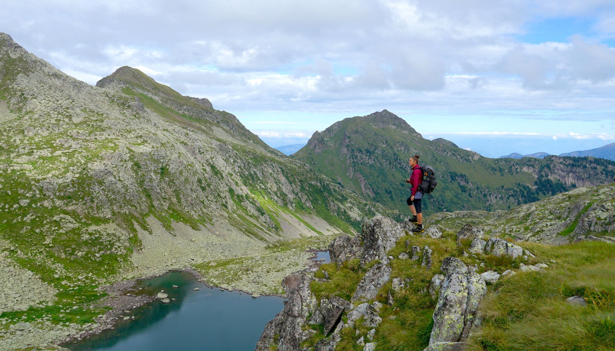
Translagorai – dreamy trekking through the wild heart of Trentino

The Path of Peace – journey into Trentino's history
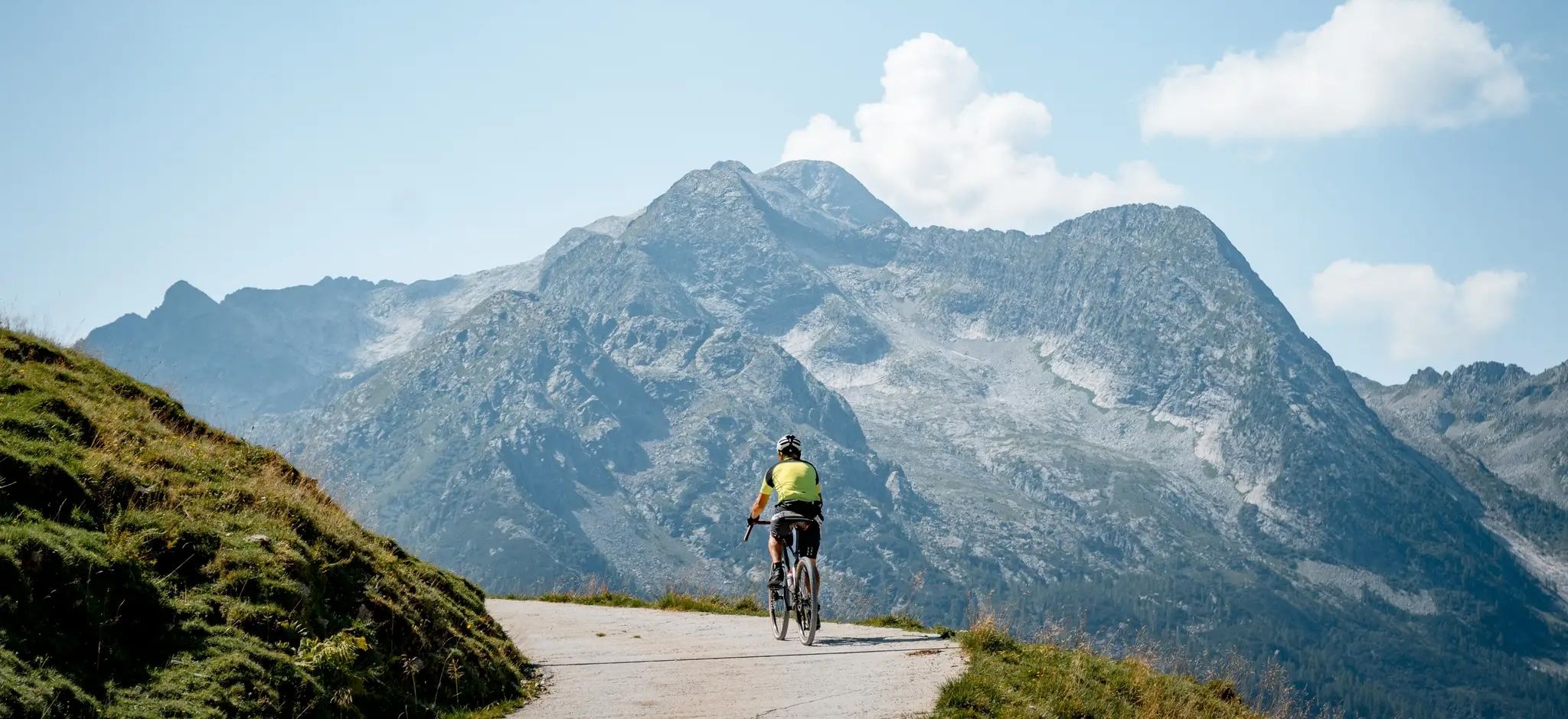
Gravel cycling in Trentino – The gateway to the Dolomites
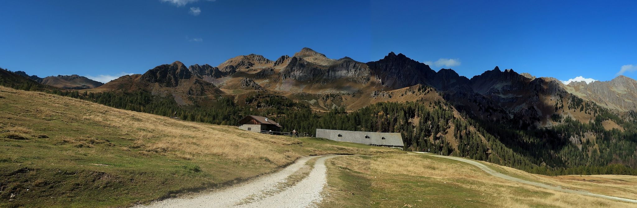
Cycling on Italy’s Tesino Plateau – around Cima d'Asta
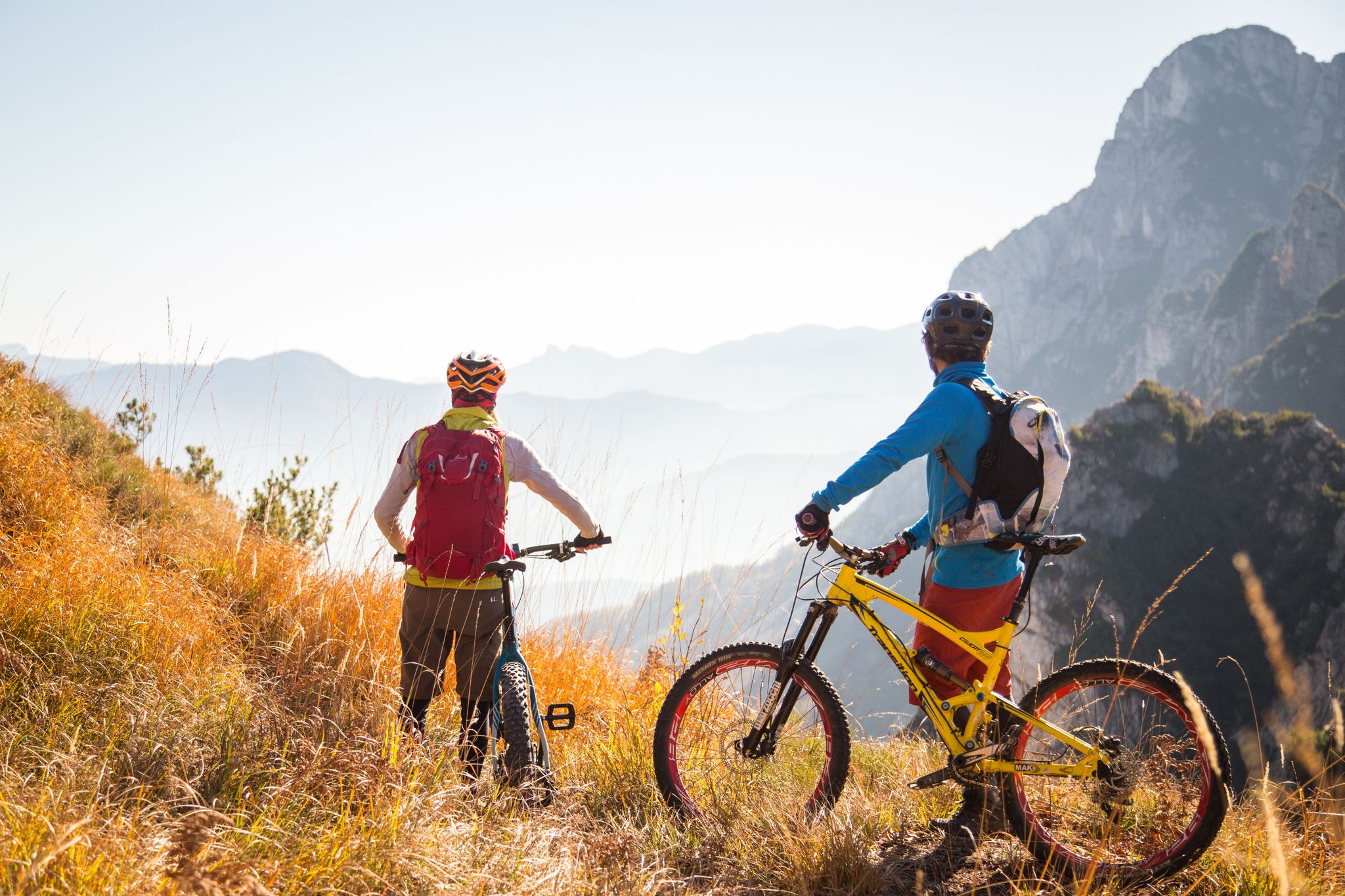
Fantastic autumnal cycling routes through Trentino – Italy’s MTB hotspot
MTB Trails around Canal San Bovo
Road Cycling Routes around Canal San Bovo
Running Trails around Canal San Bovo
Cycling around Canal San Bovo

Gravel biking around Canal San Bovo
Other adventures around Canal San Bovo


Tips from the Community

A beautiful bivouac located in a very windy spot, with a spring reported nearby (which I didn't see)
0
0
path that requires a minimum of attention
0
0

Starting from Imer the path is initially paved and flat, then there is first a mule track that takes you up a bit and finally a rather steep path that reaches the little church of San Silvestro. A path not to be underestimated, easily passable by trained people.
0
0

Pradi de Tognola is an ancient rural settlement composed of some farmhouses, stables and barns. Some structures can be visited in summer
1
0
The Siega de Valzanca is a hydraulic sawmill, rebuilt at the end of the nineties by the Paneveggio Pale di San Martino Park, where once stood the building of the same name that operated until the end of the fifties of the twentieth century. In the summer, demonstrations of its operation are organized
1
0

very panoramic tour on Lake Caldonazzo, which also includes the Austro-Hungarian fort of Tenna as well as the church of S. Valentino. This one also has little difference in altitude, suitable for families even with strollers, but with large wheels. A slightly challenging climb but short, if you go up from loc. Brenta towards the church.
0
0

According to a legend, the original location chosen for the construction of the church was much further down the valley, but the stones brought for the construction mysteriously disappeared, only to be found on the spur where the church stands today, which is why it was decided to build it there. Another legend tells of a woodcutter who was escorted by the gendarmes from Caoria towards Primiero, accused of murder; when they reached the Gobbera pass, in sight of the church of San Silvestro, the woodcutter invoked the saint proclaiming his innocence, and by a miracle the chains that bound him fell; in memory of this miracle the chains are preserved in the church
1
0
Frequently Asked Questions
How many hiking trails are available in Canal San Bovo?
Canal San Bovo offers a diverse network of over 60 hiking trails. These include 8 easy routes perfect for a relaxed stroll, 31 moderate paths for a more engaging experience, and 28 challenging trails for experienced hikers seeking adventure in the mountains.
What types of terrain can I expect on hikes around Canal San Bovo?
The terrain varies significantly, from lush forest paths in the Valle del Vanoi to high alpine environments. You'll encounter trails through historic meadows, along streams like the Vanoi and Lòzen, and up to prominent peaks such as Monte Cauriol and Monte Totoga, often featuring rocky sections and significant elevation changes.
Are there any easy, family-friendly hikes in the area?
Yes, there are several easy options suitable for families. The Anello dei Pradi Trail is a great choice, offering a 2.3-mile loop through historic meadows and woodlands in the Vanoi Valley. Another easy option is the Quota 860 Trail, a 3-mile hike in the Paneveggio Pale di San Martino Nature Park, passing a church and beech forest.
Can I find challenging hikes with significant elevation gain?
Absolutely. For a demanding experience, consider the Monte Cauriol Loop via Sadole Mule Track, an 8.5-mile route with over 1,300 meters of ascent, offering panoramic views and World War I historical sites. The Valmaggiore and Coltorondo Trail is another challenging 11-mile route leading through alpine lakes and panoramic vistas with similar elevation gains.
Are there any historical sites or landmarks to see while hiking?
Canal San Bovo is rich in history, particularly from World War I. Many trails incorporate historical sites like old fortifications, trenches, and tunnels. The Monte Totoga Loop, for instance, features historical WWI tunnels. The region also has the "Path of Peace" which traverses remnants of the Alpine War, and the Ethnographic Trail by the Vanoi Ecomuseum, showcasing the valley's cultural heritage.
What natural features or viewpoints can I discover on the trails?
Hikers can enjoy stunning natural beauty, including serene alpine lakes like Calaita Lake and the Colbricon Lakes (Colbricon Lakes). The region offers panoramic views of the Pale di San Martino mountains and the wild Lagorai Range. You might also encounter the The Thinking Christ of Castellazzo, a unique landmark.
Are there any circular hiking routes available?
Yes, many routes in Canal San Bovo are designed as loops. The Monte Cauriol Loop via Sadole Mule Track and the Monte Totoga Loop are notable examples of circular trails that allow you to start and finish at the same point, exploring different scenery along the way.
What do other hikers enjoy most about hiking in Canal San Bovo?
The area is highly rated by the komoot community, with an average score of 4.5 stars from over 800 reviews. Reviewers often praise the diverse landscapes, from majestic mountains and lush forests to serene alpine lakes, as well as the historical World War I sites integrated into many routes. The variety of trails catering to different ability levels is also frequently highlighted.
Is Canal San Bovo suitable for multi-day trekking?
Yes, for those seeking a longer adventure, the region is part of the Translagorai, a multi-day trekking experience that journeys through the wild heart of Trentino. This trek features countless alpine lakes and flowering pastures, offering an immersive wilderness experience.
Are there any mountain passes or huts accessible from the hiking trails?
Several mountain passes and huts are accessible, providing points of interest or rest stops. Notable passes include Passo Rolle, Passo Valles, and Passo Brocon. You can also find huts like Segantini Hut and Rifugio Rosetta Pedrotti, which can serve as destinations or overnight stays on longer routes.
What is the best time of year to go hiking in Canal San Bovo?
The best time for hiking is generally from late spring through early autumn (May to October), when trails are clear of snow and the weather is pleasant. Summer offers warmer temperatures and full access to high alpine routes. In winter, the area transforms into a destination for ski mountaineering, snowshoeing, and sledding, offering a different kind of outdoor experience.
Most popular routes around Canal San Bovo
Most popular attractions around Canal San Bovo

Get inspired with the komoot mobile app


Explore more
Browse the best Hikes in other regions.
