The best walks and hikes around Schauenburg
4.5
(735)
2,763
hikers
158
hikes
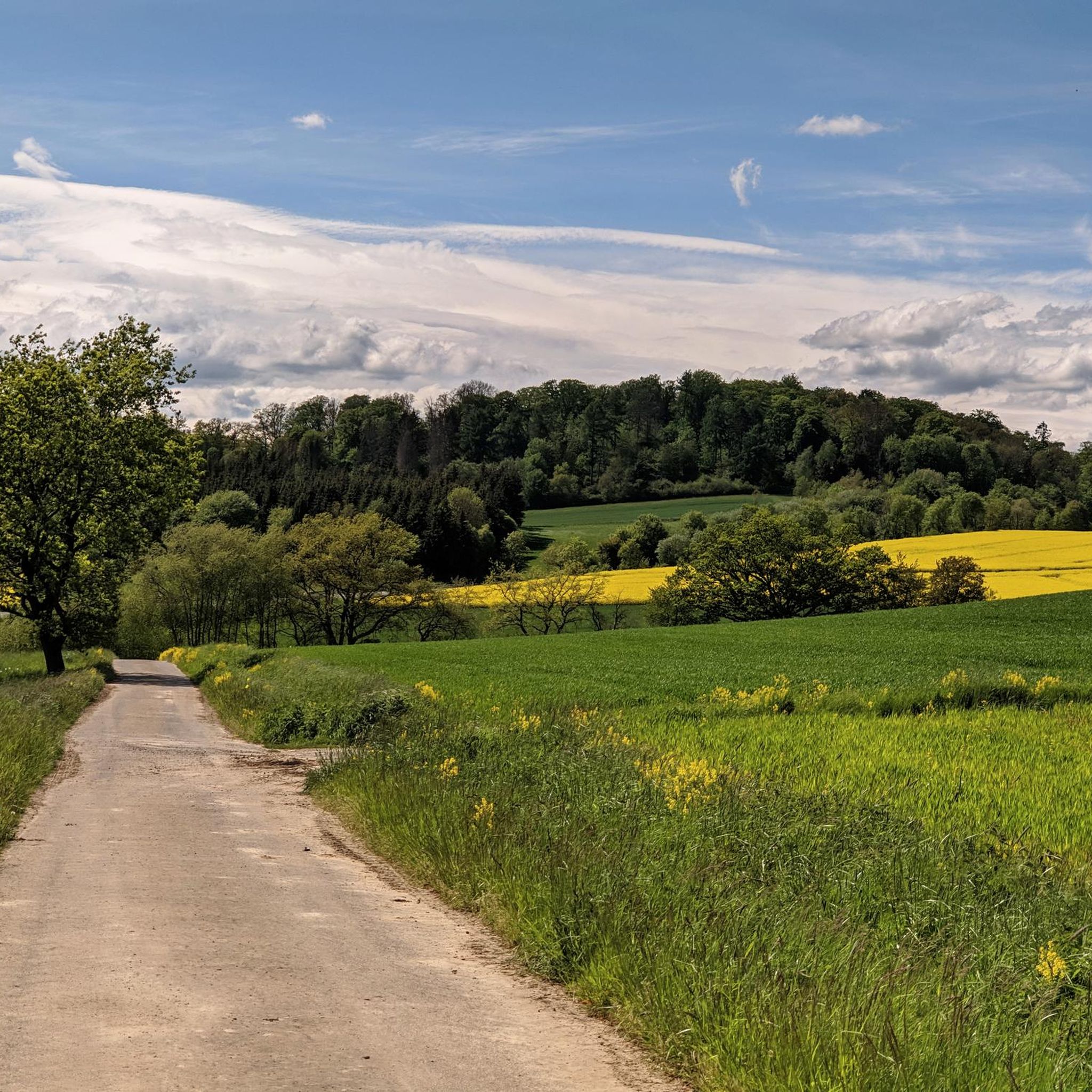
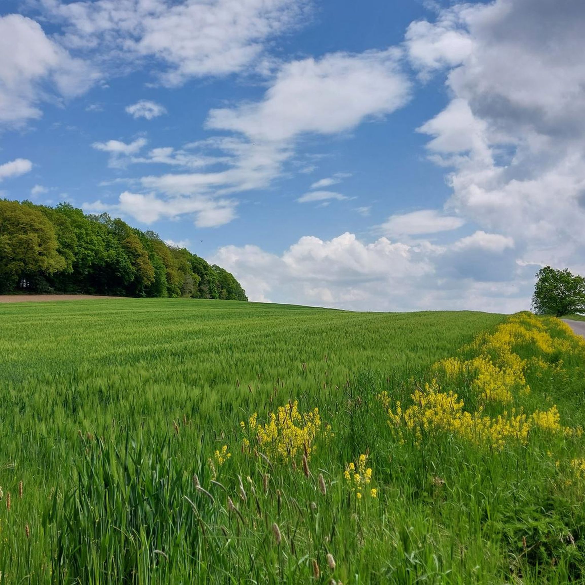
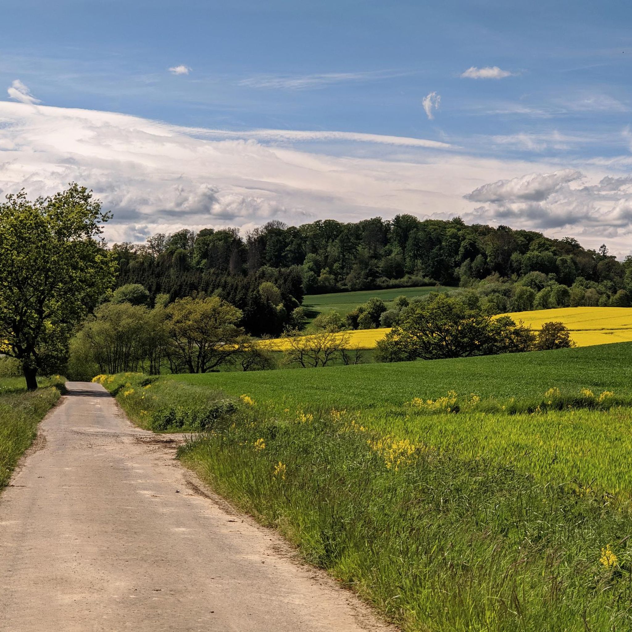
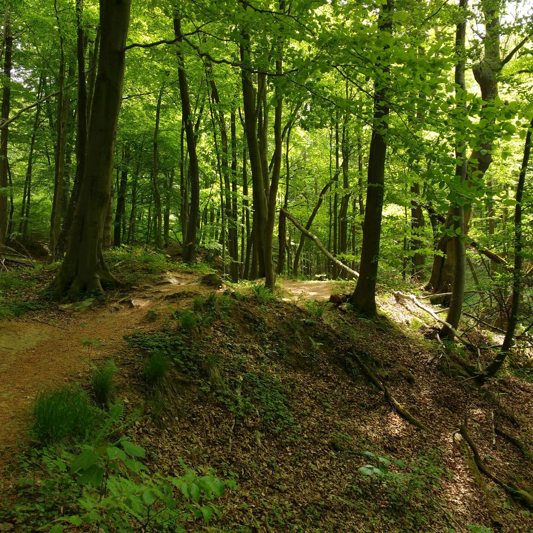
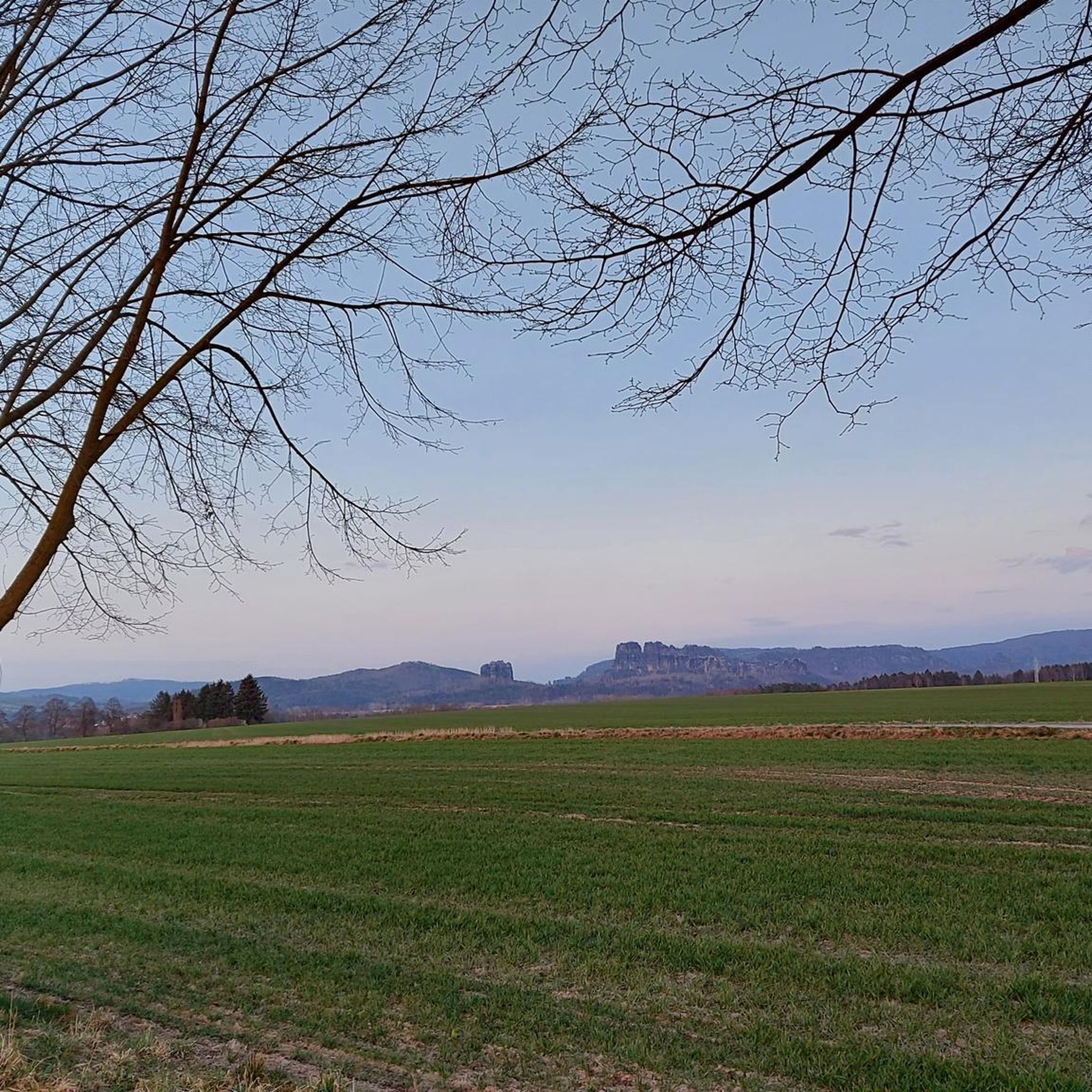
Hiking around Schauenburg offers a diverse landscape characterized by rolling hills, dense woodlands, and scenic valleys. The region features notable geological formations such as the Bilstein Cliffs and includes parts of the Habichtswaldsteig trail. Elevations vary, with prominent points like Großer Schönberg providing expansive views. The area's terrain provides a mix of forest paths, open fields, and ascents to historical sites.
Best hiking trails around Schauenburg
- The most popular hiking route is Bilstein Cliffs – Firnsbach valley on the Habichtswaldsteig…
Last updated: November 18, 2026
4.9
(77)
256
hikers
Moderate hike. Good fitness required. Easily walkable paths.
4.7
(56)
178
hikers
Hard hike. Very good fitness required. Easily walkable paths.

4.7
(24)
72
hikers
6.97km
01:59
160m
160m
Easy hike. Easily walkable paths.
4.5
(25)
55
hikers
10.7km
02:59
210m
210m
Moderate hike. Good fitness required. Easily walkable paths.
4.5
(10)
36
hikers
Moderate hike. Good fitness required. Easily walkable paths.
Get access to more routes and recommendations from other explorers.
Already have an account?
Our route recommendations are based on thousands of hikes, rides, and runs completed by other people on komoot.
Start today with a free account
Your next adventure awaits.

Other adventures around Schauenburg

Tips from the Community

Also here a wonderful resting place with a view of Breitenbach. The bench is located at the edge of the forest under a protective canopy of leaves.
5
0
This red bench is simply an eye-catcher. I couldn't resist taking my lunch break here. Conveniently, it is located on the Habichtswaldsteig almost exactly halfway between the Herkules and Bad Emstal.
4
0
Such a swing in the landscape is always a great idea. However, this swing requires a sporty jump to be able to use it. 😅
6
0
The straight path along the hillside is a true panoramic trail. The view of the village of Breitenbach is very beautiful.
6
0

Here you can have a leisurely picnic, there is also a bin and a great panoramic view. In between, briefly step through the water treading basin and enjoy the magnificent tranquility.
0
0
This place offers a great view.
9
0

A small basalt peak (524m) with a cave, offering a beautiful view of the surrounding landscape. Located near Hohes Gras.
0
0

If you want to see something, you have to suffer :-)
0
1
Frequently Asked Questions
How many hiking trails are available in Schauenburg?
Schauenburg offers a wide variety of hiking experiences, with over 145 routes recorded on komoot. These range from easy strolls to more challenging day hikes, ensuring there's something for every fitness level.
Are there easy hiking trails suitable for beginners or families with children?
Yes, Schauenburg has numerous easy trails perfect for beginners or families. Approximately 95 of the routes are classified as easy. A good option for a shorter, less strenuous walk is the Pond at Hundsberg – Pond at Forsthaus loop from Sumpfwiese am Wattenberg, which is about 4.3 miles (6.9 km) long.
What is the best time of year to go hiking in Schauenburg?
The region's rolling hills and dense woodlands make it enjoyable throughout much of the year. Spring brings blooming flora, while autumn offers vibrant fall colors. Summer is ideal for longer day hikes, and even winter can be beautiful for a crisp walk, though some paths might be slippery or covered in snow.
Are dogs allowed on the hiking trails in Schauenburg?
Generally, dogs are welcome on most hiking trails in Schauenburg. However, it's always recommended to keep them on a leash, especially in nature reserves, near wildlife, or when passing through agricultural areas. Please also remember to clean up after your pet.
Are there circular hiking routes in Schauenburg?
Yes, many of the trails in Schauenburg are designed as circular routes, allowing you to start and end at the same point without retracing your steps. An example is the Bilstein Cliffs – Firnsbach valley on the Habichtswaldsteig trail loop from Schauenburg, which offers a scenic round trip.
What kind of natural attractions or landmarks can I see along the trails?
Schauenburg's trails lead to various natural and historical points of interest. You can explore the dramatic Firnsbach valley on the Habichtswaldsteig trail, or discover other gorges like the Ahne Gorge. The region also features unique rock formations and offers views from prominent points like Großer Schönberg.
Where can I find parking for hiking trails in Schauenburg?
Parking is generally available at trailheads and in the vicinity of popular starting points in Schauenburg and its surrounding villages like Breitenbach. Specific parking information is often detailed on individual route descriptions on komoot, or you can look for designated hiking car parks in the area.
Are there any places to eat or rest along the hiking trails?
Depending on the length and location of your chosen trail, you may find opportunities for refreshments. Some routes pass through villages with cafes or restaurants, while others might have traditional 'Hütten' (huts) offering food and drinks. It's always a good idea to check the route details or carry sufficient provisions for longer hikes.
What do other hikers enjoy most about hiking in Schauenburg?
The komoot community highly rates the hiking experience in Schauenburg, with an average score of 4.6 stars from over 800 reviews. Hikers often praise the diverse landscape, the well-maintained paths through dense woodlands, and the rewarding views from elevated points. The mix of historical sites and natural beauty is also frequently highlighted.
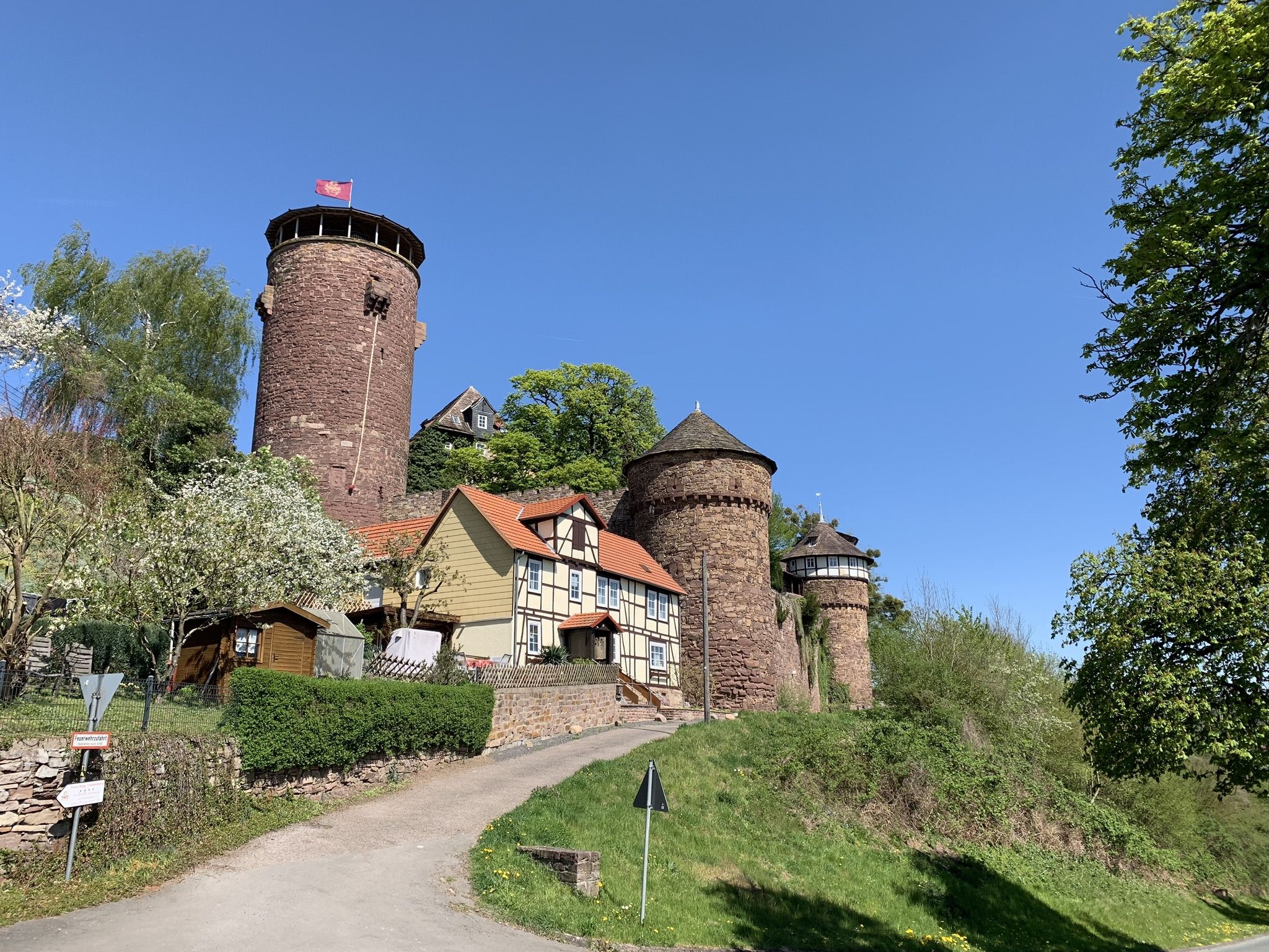
Can I reach the Schauenburg castle ruins on a hike?
Yes, several routes lead to the historic Schauenburg castle ruins. A notable option is the Ascent to Schauenburg – View from Großer Schönberg loop from Großer Schönberg bei Breitenbach, which includes an ascent to the castle and offers expansive views from Großer Schönberg.
Are there any longer, more challenging day hikes in the area?
For those seeking a more strenuous adventure, Schauenburg offers several challenging day hikes. The Ascent to Schauenburg – View of Breitenbach loop from Breitenbach is a demanding 17.2 miles (27.7 km) trail that typically takes nearly 8 hours to complete, traversing varied terrain with significant elevation changes.
Most popular routes around Schauenburg
Most popular attractions around Schauenburg

Get inspired with the komoot mobile app


Explore more
Browse the best Hikes in other regions.
