The best walks and hikes around Gonnos/Gonnosfanadiga
4.4
(546)
2,399
hikers
158
hikes
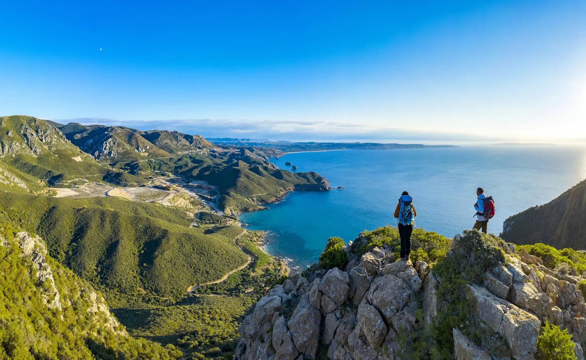
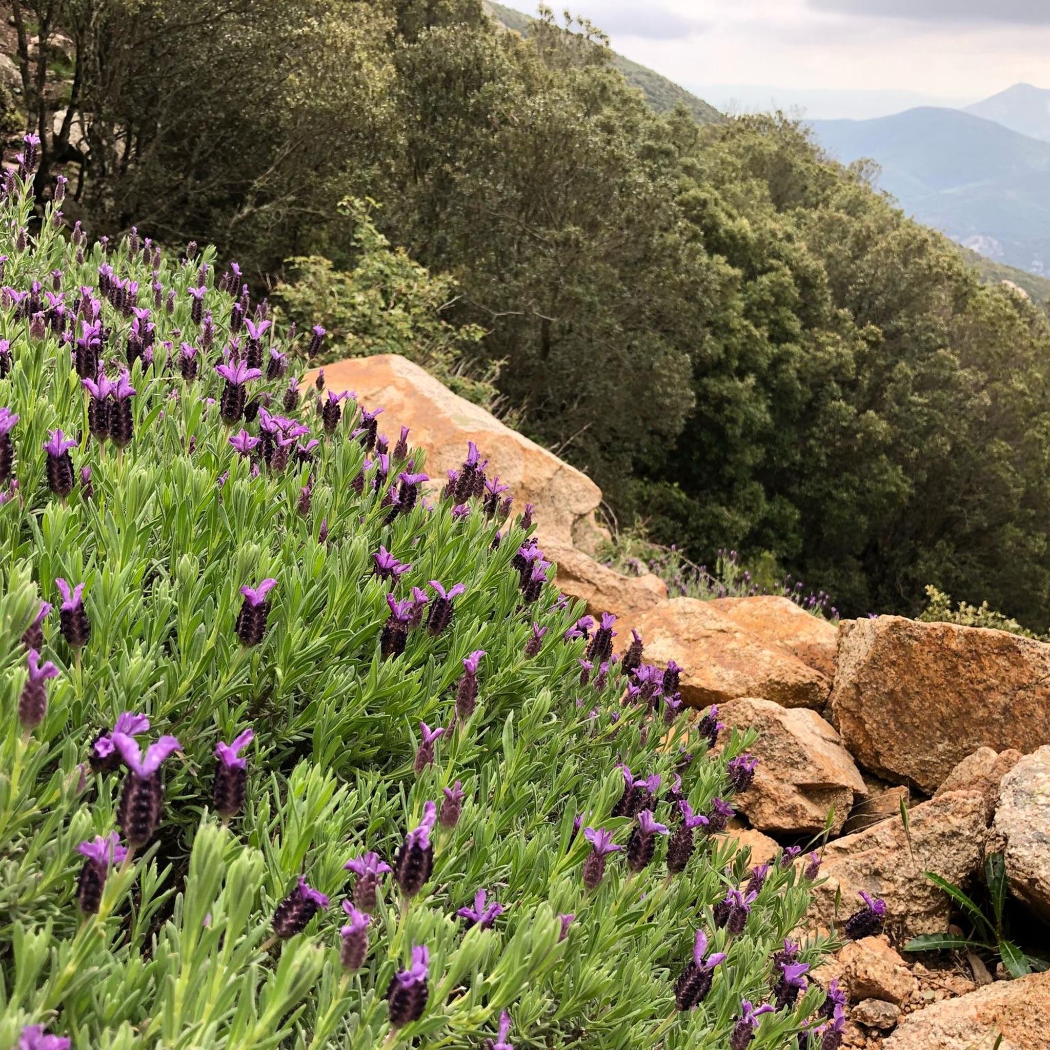
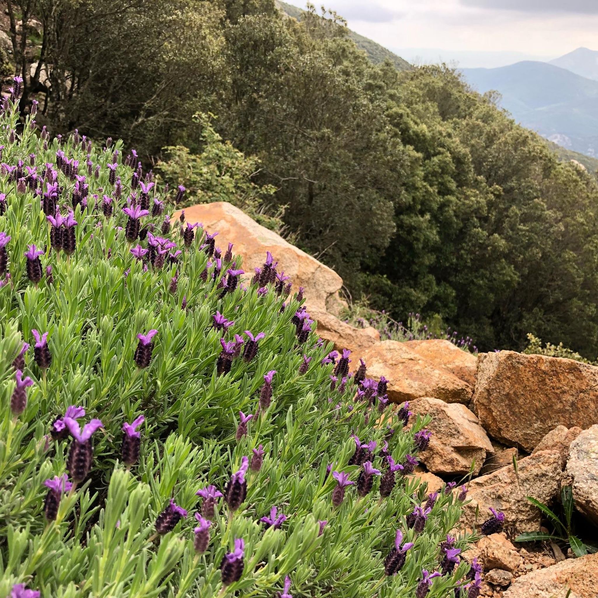
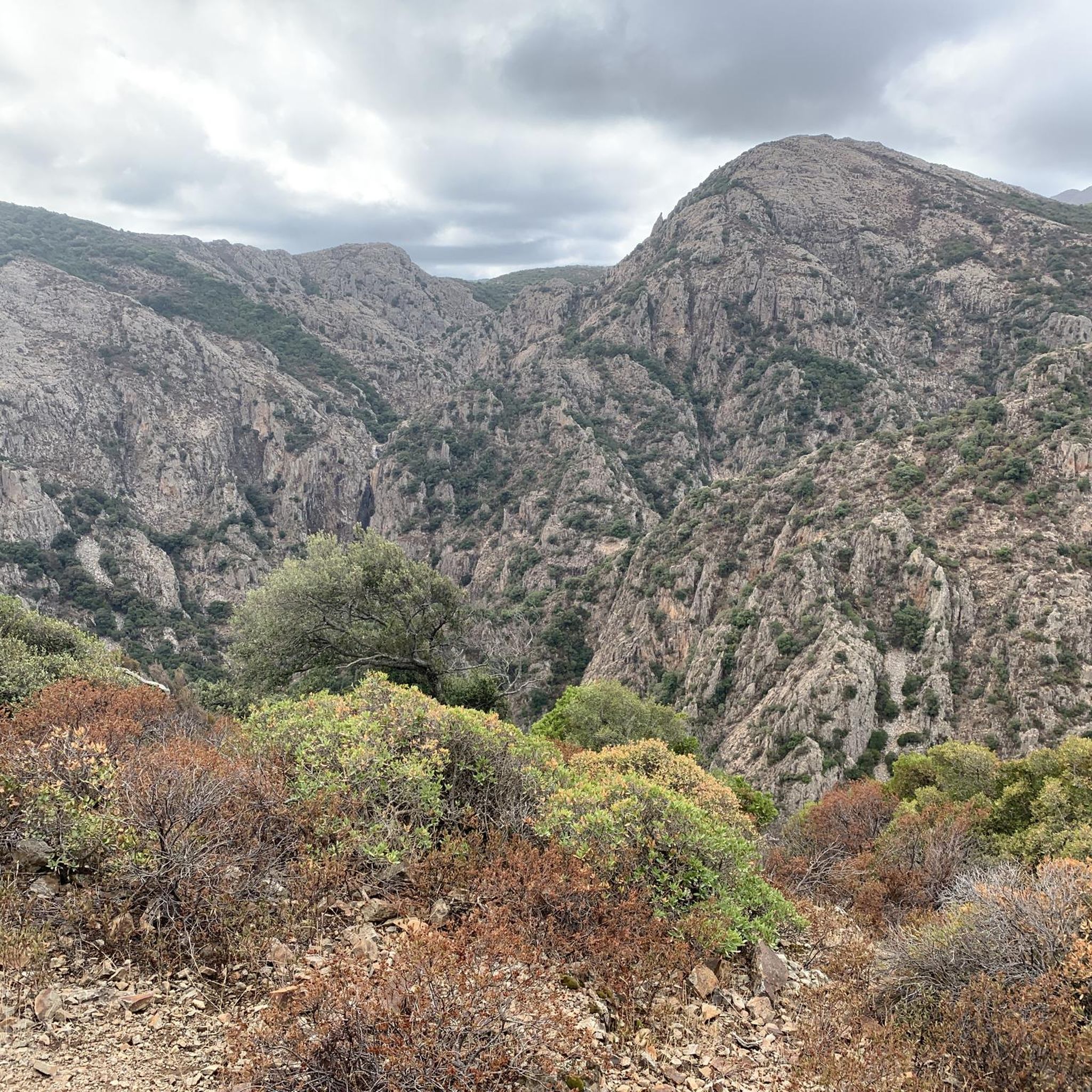
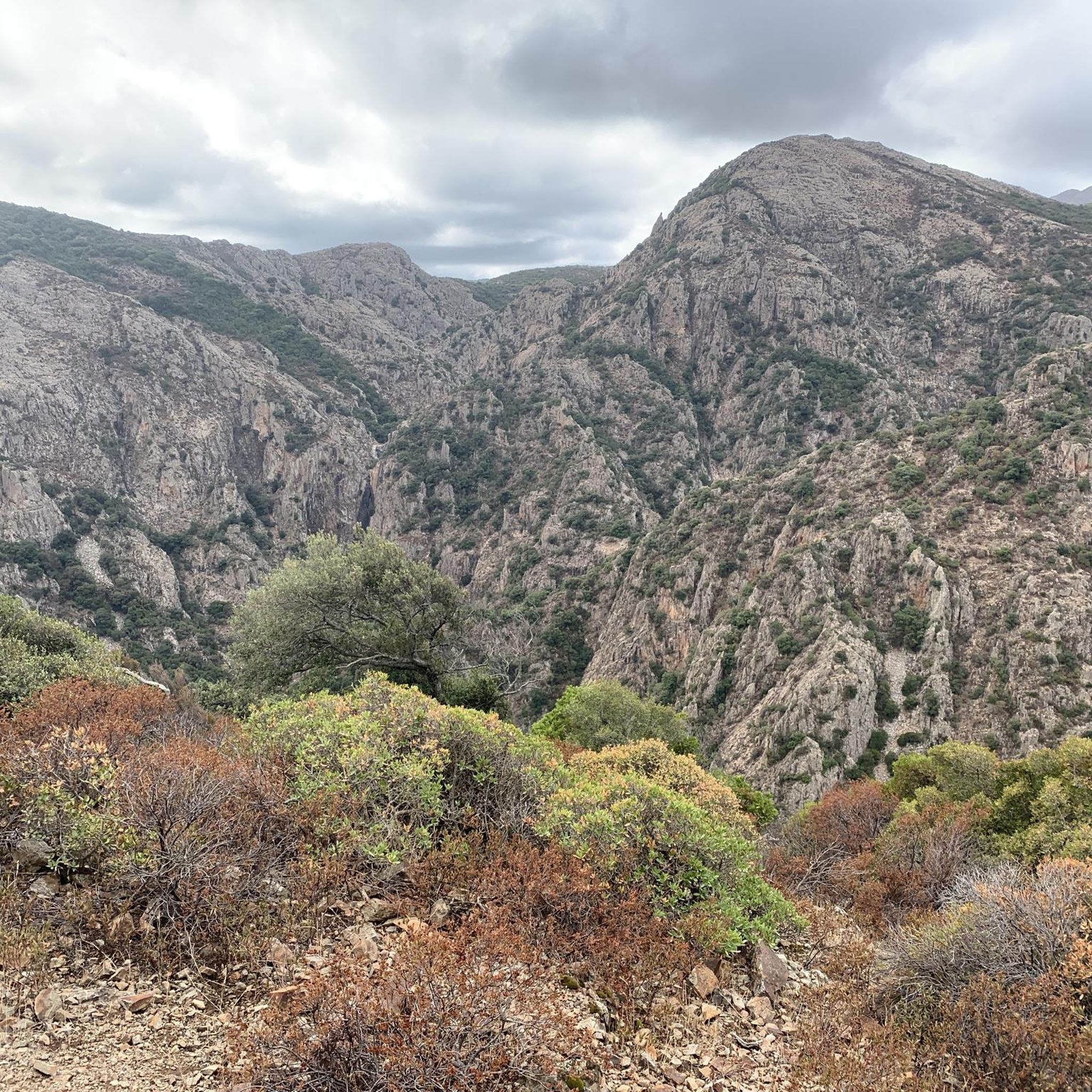
Hiking around Gonnos/Gonnosfanadiga offers diverse landscapes at the foot of the Mount Linas massif in Sardinia, Italy. The region features wild granitic peaks, deep gorges, and extensive Mediterranean scrub. Hikers can explore ancient forests of holm oak and cork oak, as well as limestone massifs and plateaus. Numerous waterfalls, including Murru Mannu, add to the natural attractions of the area.
Best hiking trails around Gonnos/Gonnosfanadiga
- The most popular hiking route is On the massif of Mount Arcuentu, a 3.1 miles (4.9 km) trail that takes 2 hours 10 minutes to complete. This difficult route explores the rugged terrain of Mount Arcuentu.
- Another top favourite among local hikers is Monte Aglientu – Summit of Monte Arcuentu loop from Monte Arcuentu, a difficult 4.1 miles (6.5 km) path. This trail offers panoramic views from the summit of Monte Arcuentu.
- Local hikers also love the Monte Aglientu loop from Campu Sandru, a 4.7 miles (7.5 km) trail leading through varied landscapes, often completed in about 2 hours 38 minutes.
- Hiking around Gonnos/Gonnosfanadiga is defined by granitic peaks, ancient forests, and hidden waterfalls. The network offers options for different ability levels, from moderate paths to challenging climbs.
- The routes in Gonnos/Gonnosfanadiga are highly rated by the komoot community with an average score of 4.5 stars from over 400 reviews. More than 2000 hikers have used komoot to explore Gonnos/Gonnosfanadiga's varied terrain.
Last updated: August 4, 2026
5.0
(5)
35
hikers
8.14km
03:03
550m
550m
Moderate hike. Good fitness required. Easily-accessible paths. Suitable for all skill levels.
5.0
(2)
7
hikers
8.99km
02:57
420m
420m
Moderate hike. Good fitness required. Easily-accessible paths. Suitable for all skill levels.

Sign up for free
12
hikers
24.1km
06:38
380m
380m
Hard hike. Very good fitness required. Easily-accessible paths. Suitable for all skill levels.
3.0
(1)
7
hikers
6.07km
02:43
580m
580m
Moderate hike. Good fitness required. Easily-accessible paths. Suitable for all skill levels.
6
hikers
Hard hike. Good fitness required. Sure-footedness, sturdy shoes and alpine experience required.
Get access to more routes and recommendations from other explorers.
Sign up for free
Already have an account?
Our route recommendations are based on thousands of hikes, rides, and runs completed by other people on komoot.
Start today with a free account
Your next adventure awaits.
Login or Signup
Popular around Gonnos/Gonnosfanadiga
Other adventures around Gonnos/Gonnosfanadiga

Tips from the Community

This small, quiet, traffic-free paved secondary road crosses the valley between Arbus and Gonnosfanadiga and leads to the Giants' Tomb of San Cosimo. It is part of the Santa Barbara Mining Trail.
0
0
Located at the top of the pass of the same name, at 685 meters above sea level, this small, well-maintained wooden shelter offers shelter from the sun and bad weather and can also be used as a bivouac or emergency shelter. Inside, there is a table and benches.
1
0
Perd'e Pibera Park is a vast forested area of over 400 hectares, rich in centuries-old holm oaks, strawberry trees, and yew trees, with reforested areas of conifers and broadleaf trees that encourage the return of native vegetation. It is an ideal place for hiking and outdoor recreation, thanks to marked trails and areas equipped with tables and benches. The park also contains the remains of the Perd'e Pibera mine, once used for molybdenite extraction. Today, the restored mining buildings house facilities for tourism and environmental education. From the park, you can reach the Linas massif and the Murru Mannu waterfall, the highest on the island.
0
0
At the foot of the Monte Linas massif, the town of Gonnosfanadiga lies at the transition between the Medio Campidano plain and the first hills of southwestern Sardinia. The area preserves numerous archaeological remains, including nuraghi and Giants' Tombs, such as that of San Cosimo, among the largest on the island. The town, with a population of approximately 6,000, is closely linked to agriculture and craftsmanship: local knives, honey, wine, and oil are famous. Strolling through the town center, you'll notice the centuries-old wells that once served wayfarers and still serve as meeting points for the community. The town has shops, bars, and restaurants, and throughout the year, festivals dedicated to bread, olives, and oil are held.
1
0
On the Cuccur'e Zeppara hill, now incorporated into the town of Guspini, you can admire a spectacular wall of basalt prisms up to twenty meters high, perfectly arranged like organ pipes. The formation, created by the slow cooling of lava from an ancient volcanic cone, is considered one of the clearest in Italy and Europe. Declared a natural monument, the quarry can be visited via a short trail that allows for a close-up view of this rare geological feature, similar in shape to be seen only in Sicily, Veneto, Iceland, and a few other places in the world.
1
0

In this wonderful hiking area, you often have to cross rivers over rocks. Here, finally, there's a bridge.
0
0
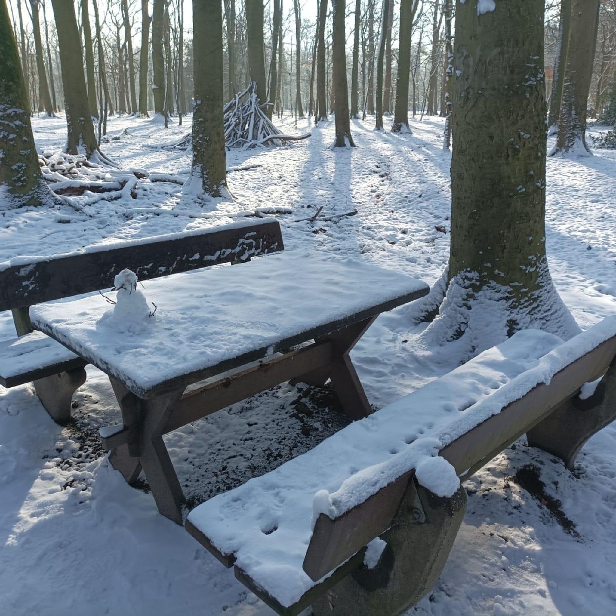
A simple, shady picnic area invites you to take a break.
0
0
Here's a cute resting place made from natural materials. Thanks to the builders :-)
0
0
Frequently Asked Questions
What types of landscapes can I expect to see while hiking around Gonnos/Gonnosfanadiga?
The region offers a diverse natural landscape, dominated by the granitic Mount Linas massif with its wild peaks, deep gorges, and steep rock faces. You'll also find extensive Mediterranean scrub, ancient forests of holm oak, cork oak, and yew, as well as the limestone massif of Marganai and the Oridda plateau. Waterfalls like Murru Mannu and Piscina Irgas Waterfall are also prominent features.
Are there any easy hiking trails suitable for beginners or casual walkers?
Yes, Gonnos/Gonnosfanadiga offers a variety of trails for different fitness levels. Out of 126 available routes, 33 are classified as easy, providing accessible options for beginners or those looking for a more relaxed walk.
Can I find family-friendly hiking routes in the area?
The Perd'e Pibera Municipal Park is an excellent choice for families. This vast forested area features marked trails and equipped areas for outdoor recreation, making it suitable for walks with children. The park is known for its centuries-old holm oaks and oak trees.
Are dogs allowed on the hiking trails around Gonnos/Gonnosfanadiga?
While many trails in natural areas generally welcome dogs, specific rules can vary. It's always recommended to keep dogs on a leash, especially in protected areas like the Mount Linas massif, to protect local wildlife such as the Sardinian deer and golden eagle. Always clean up after your pet.
What interesting natural attractions or landmarks can I discover on these hikes?
Hikers can explore several notable natural and historical sites. Highlights include the impressive Piscina Irgas Waterfall, the mysterious Su Mannau Cave, and the scenic Oridda Gorge. You can also find remnants of the region's mining history, such as the former molybdenite mine in Perd'e Pibera, and ancient archaeological sites like Giants' graves.
Are there any circular hiking routes available?
Yes, there are several circular routes. For example, the Monte Aglientu – Summit of Monte Arcuentu loop from Monte Arcuentu offers panoramic views, and the Monte Aglientu loop from Campu Sandru leads through varied landscapes.
What is the best time of year to go hiking in Gonnos/Gonnosfanadiga?
The region is suitable for hiking for much of the year. Spring and autumn generally offer the most pleasant temperatures for exploring. Summers can be hot, especially at lower elevations, while winters are mild but can bring rain. The diverse ecosystems mean different flora and fauna are visible throughout the seasons.
How many hiking trails are available in the Gonnos/Gonnosfanadiga area?
There are over 120 hiking routes recorded in the Gonnos/Gonnosfanadiga area, offering a wide range of options from easy walks to challenging climbs across its varied terrain.
What do other hikers enjoy most about the trails in Gonnos/Gonnosfanadiga?
The area is highly rated by the komoot community, with an average score of 4.5 stars from over 400 reviews. Reviewers often praise the wild granitic peaks, ancient forests, and the discovery of hidden waterfalls. The diverse network of paths catering to different ability levels is also frequently highlighted.
Is public transport available to reach trailheads, or is a car necessary?
While public transport options within Sardinia exist, reaching specific trailheads in the more remote areas around Gonnos/Gonnosfanadiga, especially those in the Mount Linas massif or Perd'e Pibera Park, can be challenging without a car. Having a vehicle generally offers more flexibility to access various starting points and explore the region fully.
Are there any historical or archaeological sites accessible via hiking trails?
Yes, the region is rich in history. Hikers can explore ancient sites such as the megalithic Giants' graves (like Tomba di Giganti di San Cosimo) and remnants of Nuragic settlements. The area's mining heritage is also evident, with fascinating industrial architecture from abandoned mines, some of which have been repurposed for tourism.
Are there any challenging hikes for experienced trekkers?
Absolutely. The Mount Linas massif offers rugged terrain with wild peaks and steep rock faces, providing challenging climbs. Routes like On the massif of Mount Arcuentu are classified as difficult, featuring significant elevation changes and requiring good fitness.
Most popular routes around Gonnos/Gonnosfanadiga
Most popular attractions around Gonnos/Gonnosfanadiga

Get inspired with the komoot mobile app


Explore more
Browse the best Hikes in other regions.
