The best walks and hikes around Sayda
4.6
(8507)
27,917
hikers
152
hikes
Hiking trails around Sayda are primarily found in the Ore Mountains region of Germany, characterized by wooded landscapes, rolling hills, and river valleys. The terrain features a mix of forest paths, open meadows, and routes around reservoirs. Elevations are generally moderate, making the area accessible for various hiking abilities. The region offers a network of trails that explore its natural environment and local landmarks.
Best hiking trails in Sayda
- The most popular hiking route is View of the Ore Mountains…
Last updated: September 29, 2026
4.7
(78)
233
hikers
Moderate hike. Good fitness required. Easily-accessible paths. Suitable for all skill levels.
5.0
(26)
112
hikers
14.8km
04:25
440m
440m
Moderate hike. Good fitness required. Easily-accessible paths. Suitable for all skill levels.

4.8
(19)
58
hikers
13.4km
03:42
230m
230m
Moderate hike. Good fitness required. Easily-accessible paths. Suitable for all skill levels.
4.7
(39)
106
hikers
12.8km
03:34
250m
250m
Moderate hike. Good fitness required. Easily-accessible paths. Suitable for all skill levels.
4.4
(26)
76
hikers
Easy hike. Great for any fitness level. Easily-accessible paths. Suitable for all skill levels.
Get access to more routes and recommendations from other explorers.
Already have an account?
Our route recommendations are based on thousands of hikes, rides, and runs completed by other people on komoot.
Start today with a free account
Your next adventure awaits.
Popular around Sayda

Hiking with heart in the Ore Mountains

History meets nature – Erzgebirge-Vogtland Ridge Trail

Pure road and gravel riding joy through Saxony

Flying high on two wheels – bike holidays in the Ore Mountains
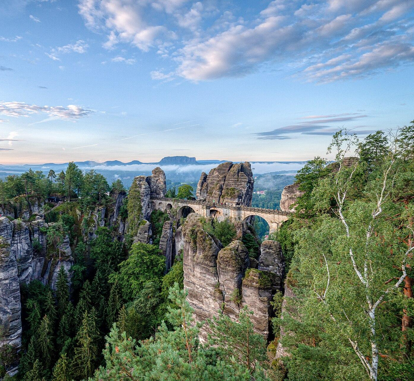
Zwei Tage raus! – Wander-Micro-Adventures in Sachsen
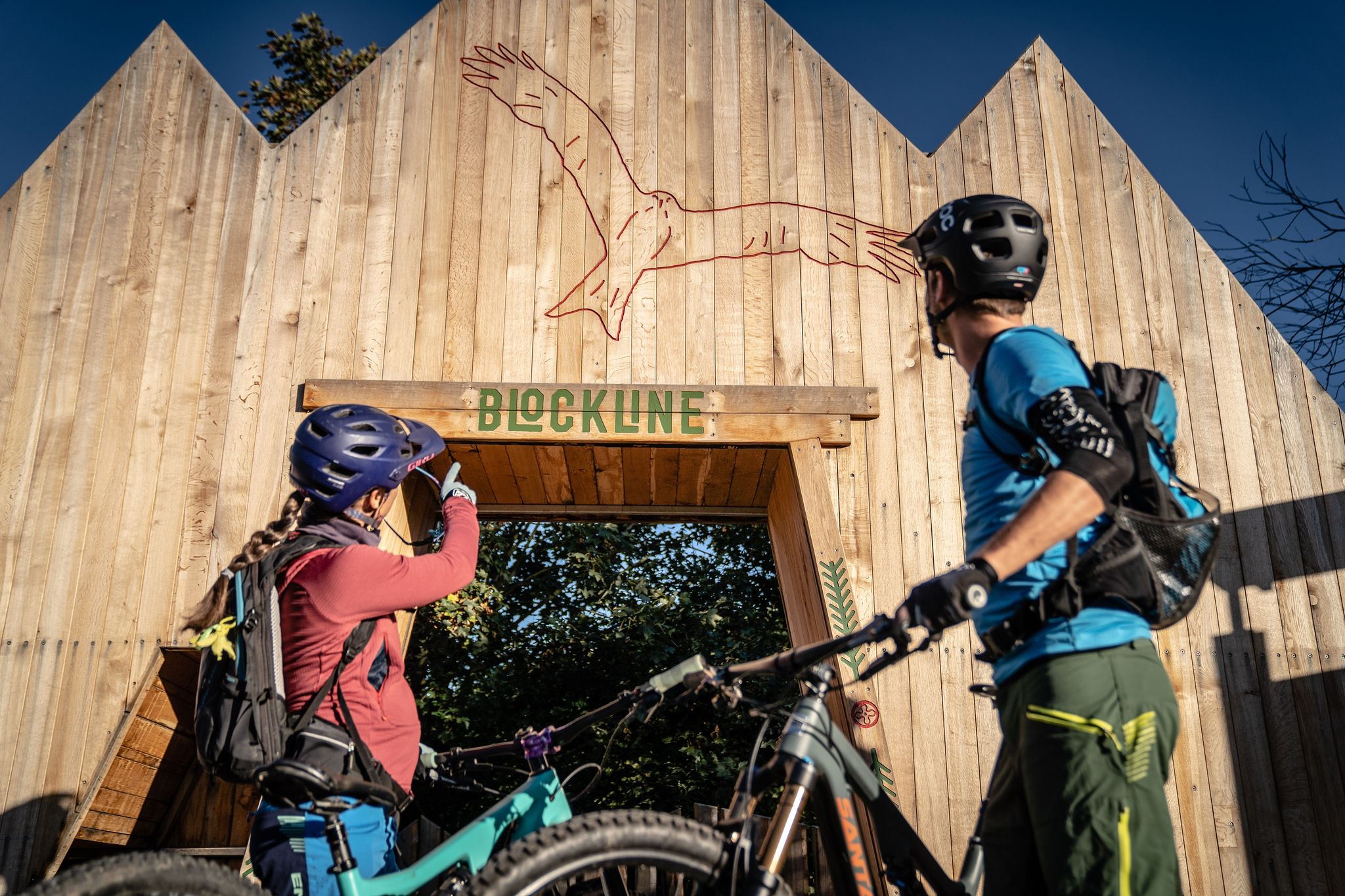
BLOCKLINE – Dein Bike-Abenteuer im Erzgebirge
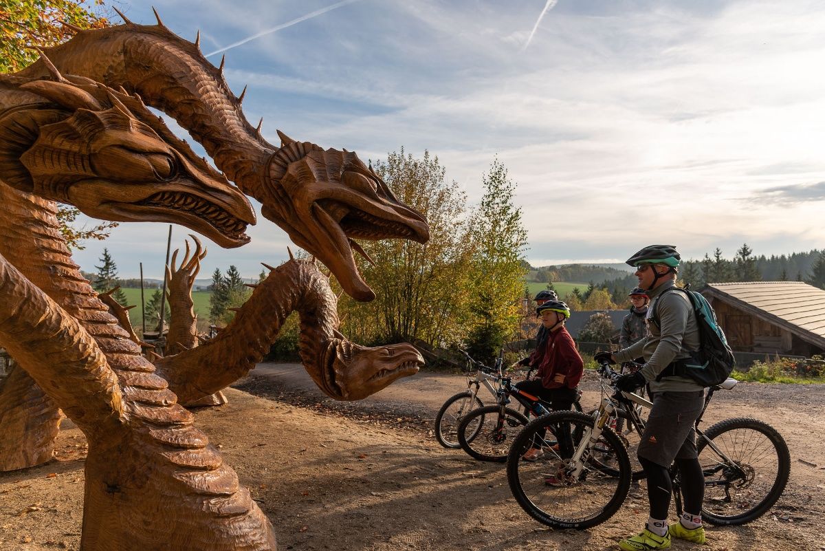
BLOCKLINE-Gesamtstrecke in 5 Tagen – Bike-Urlaub im Erzgebirge
Road Cycling Routes around Sayda
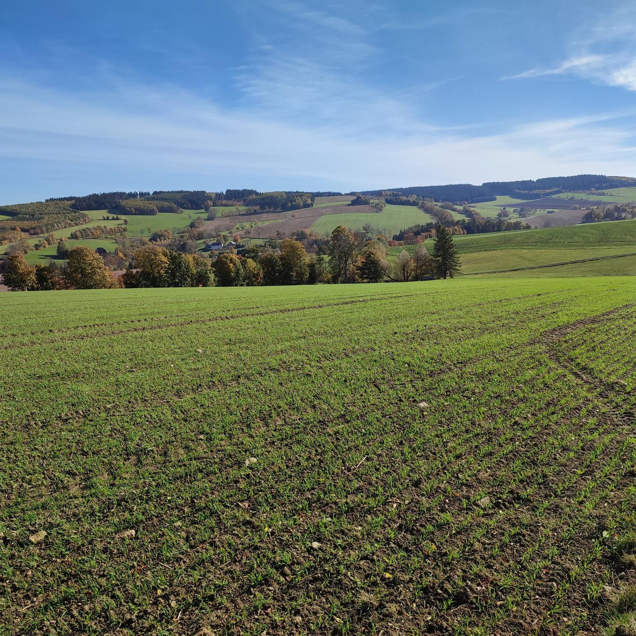
Cycling around Sayda
Gravel biking around Sayda
Other adventures around Sayda


Tips from the Community

When you come out of the forest, there is a bench. If you walk a few steps further, a more beautiful view of the reservoir with the bridge opens up.
0
0

Absolutely recommended, super nice service!
0
0

Wonderfully blooming meadows in June with bistort, arnica, daisies and also orchids.
0
0

Rest bench overlooking the reservoir - somewhat overgrown but a nice spot at the edge of the forest
0
0
Crossing is possible via a footpath directly next to the main road. Great view from the other side of the dam.
1
0

The dam is secured with gates, but the doors are not locked. From the dam wall, you have a beautiful view of the surrounding landscape.
0
0

The Großes Vorwerk (Great Farm) is located southeast of Sayda on the road to Neuhausen in the Ore Mountains. Construction date: presumably 18th century (the core may be older, later altered); architectural style: Baroque; today it houses a residential building with an adjoining barn; other buildings were probably present. Today, the Großes Vorwerk also houses a horse farm.
0
0

Frequently Asked Questions
What kind of terrain can I expect on hikes around Sayda?
Hikes around Sayda, located in the Ore Mountains region of Germany, feature diverse terrain. You'll find wooded landscapes, rolling hills, and river valleys. The paths often include a mix of forest trails, open meadows, and routes that follow along reservoirs. Elevations are generally moderate, making the area accessible for various hiking abilities.
Are there hiking options for all skill levels in Sayda?
Yes, Sayda offers a wide range of hiking options suitable for various skill levels. Out of 140 available routes, you'll find approximately 43 easy trails, 82 moderate routes, and 15 more challenging hikes. This ensures there's something for everyone, from leisurely strolls to more demanding excursions.
What are some popular scenic spots or landmarks to see while hiking near Sayda?
While hiking near Sayda, you can discover several interesting spots. For panoramic views, consider visiting the Schwartenberg Summit and Schwartenberg Hut. You might also encounter unique cultural highlights like the BLOCKLINE Black Woodpecker Sculpture. The region also features beautiful natural areas such as the Rauschenbach Reservoir, which you can explore on routes like the Rauschenbach Dam – Rauschenbach Reservoir loop from Friedebach.
Are there any circular hiking routes around Sayda?
Yes, many of the trails around Sayda are designed as circular routes, offering convenient starting and ending points. For example, the View of the Ore Mountains – Kreuztanne loop from Mortelgrund is a popular moderate circular hike. Another great option is the Großes Vorwerk Sayda – View of Neuhausen loop from Friedebach, which also forms a loop.
What do other hikers enjoy most about hiking in Sayda?
The hiking trails in Sayda are highly rated by the komoot community, with an average score of 4.6 stars from over 570 reviews. Hikers often praise the region's diverse terrain, which includes dense woodlands, rolling hills, and picturesque reservoir paths. The extensive network of routes and the variety of difficulty levels are also frequently highlighted as positive aspects.
Are there any family-friendly hiking trails in Sayda?
Sayda offers several easy trails that are well-suited for families. These routes typically feature moderate elevations and pleasant paths through forests and meadows. A good example of an easy trail is the Sluice ponds – Vorwerk Gourmet Hut loop from Mortelgrund, which is just over 5 km long.
Can I find places to eat or rest along the hiking trails?
Yes, there are several huts and restaurants located near or along the hiking trails in Sayda. You can find places like the Fischerbaude, Forest Hotel Kreuztanne, and Bad Einsiedel Forest Inn, which offer opportunities for refreshments and rest during your hike.
What is the best time of year to go hiking in Sayda?
The Ore Mountains region around Sayda is generally pleasant for hiking from spring through autumn. During these seasons, the weather is typically mild, and the landscapes are vibrant with greenery or autumn colors. While winter hiking is possible, conditions can vary, with snow and ice requiring appropriate gear and caution.
Are there any challenging or long-distance hikes available in Sayda?
Yes, for those seeking more challenging or longer hikes, Sayda offers several options. Approximately 15 of the routes are classified as difficult. These trails often feature greater elevation changes and cover longer distances, providing a more strenuous experience for experienced hikers. The View of the Ore Mountains – Forest Hotel Kreuztanne loop from Friedebach is a moderate, longer option at nearly 14.4 km.
Is it possible to reach hiking starting points in Sayda using public transport?
Information on specific public transport connections to all hiking starting points in Sayda is not detailed here. However, the region is generally accessible, and it's advisable to check local bus schedules or regional transport options for the specific starting point of your chosen trail. Many routes are designed to be accessible from local villages.
Are there any less crowded nature walks around Sayda?
While some popular routes might see more visitors, the extensive network of trails around Sayda means you can often find quieter paths, especially on weekdays or by exploring some of the less-trafficked routes. Look for trails that venture deeper into the wooded areas or away from major landmarks for a more secluded nature experience.
What should I bring for a hike in Sayda?
For hiking in Sayda, it's recommended to bring appropriate footwear for varied terrain, layers of clothing suitable for changing weather conditions, water, and snacks. Depending on the length and difficulty of your chosen trail, a map or GPS device (like the komoot app) can be very helpful, especially in wooded areas.
Most popular attractions around Sayda

Get inspired with the komoot mobile app


Explore more
Browse the best Hikes in other regions.
