The best cycling routes around Saulgrub
4.6
(215)
1,338
riders
28
rides
Touring cycling around Saulgrub offers routes through the Ammergau Alps, characterized by an alpine environment with mountains, forests, and lakes. The region features the Ammer River, one of Germany's last wild rivers, and unique high moorlands and orchid meadows. Cyclists can explore diverse landscapes, from river valleys to views of peaks like the Hörnle and Ettaler Manndl. The area also includes several lakes, such as the Staffelsee, providing scenic backdrops for rides.
Best touring cycling routes around Saulgrub
- The most popular touring cycling route is Ammer riverside in Oberammergau – View of the Zugspitze loop from Saulgrub, a 35.8 miles (57.6 km) trail that takes 3 hours 45 minutes to complete. This route offers views of the Ammer River and distant alpine peaks.
- Another top favourite among local touring cyclists is Ammer riverside in Oberammergau – Ammer River Cycle Path loop from Altenau (Bay), a difficult 17.5 miles (28.2 km) path. This route follows sections of the Ammer River Cycle Path, showcasing the natural river course.
- Local touring cyclists also love the Waterfalls Near Bad Kohlgrub – Murnauer Moor loop from Saulgrub, a 17.6 miles (28.3 km) trail leading through the Murnauer Moos, often completed in about 2 hours 29 minutes.
- Touring cycling around Saulgrub is defined by alpine valleys, the Ammer River, and extensive moorlands. The network offers options for easy family rides to more challenging mountain stages.
- The routes in Saulgrub are highly rated by the komoot community with an average score of 4.3 stars from over 190 reviews. More than 1300 touring cyclists have used komoot to explore Saulgrub's varied terrain.
Last updated: August 4, 2026
4.7
(117)
633
riders
Moderate bike ride. Good fitness required. Mostly paved surfaces. Suitable for all skill levels.
4.9
(9)
80
riders
Hard bike ride. Very good fitness required. Mostly paved surfaces. Suitable for all skill levels.

Sign up for free
4.8
(9)
81
riders
28.3km
02:28
750m
750m
Hard bike ride. Very good fitness required. You may need to push your bike for some segments of this route.
4.9
(21)
102
riders
35.1km
02:32
420m
420m
Moderate bike ride. Good fitness required. Mostly paved surfaces. Suitable for all skill levels.
4.6
(10)
42
riders
Hard bike ride. Very good fitness required. Mostly paved surfaces. Suitable for all skill levels.
Get access to more routes and recommendations from other explorers.
Sign up for free
Already have an account?
Our route recommendations are based on thousands of hikes, rides, and runs completed by other people on komoot.
Start today with a free account
Your next adventure awaits.
Login or Signup
Popular around Saulgrub
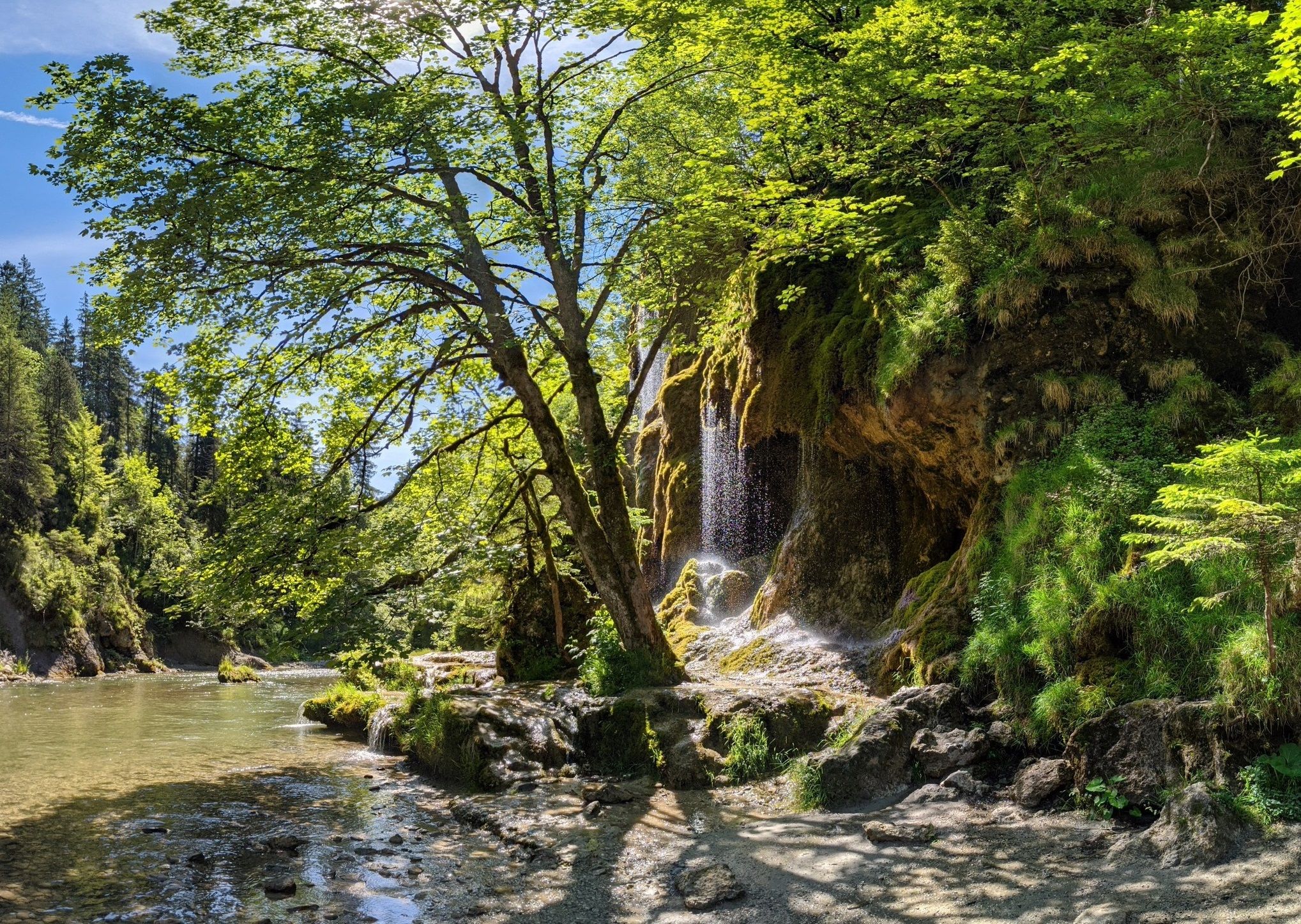
Ammergau Alps meditation path in Bavaria – Breathe in, breathe out
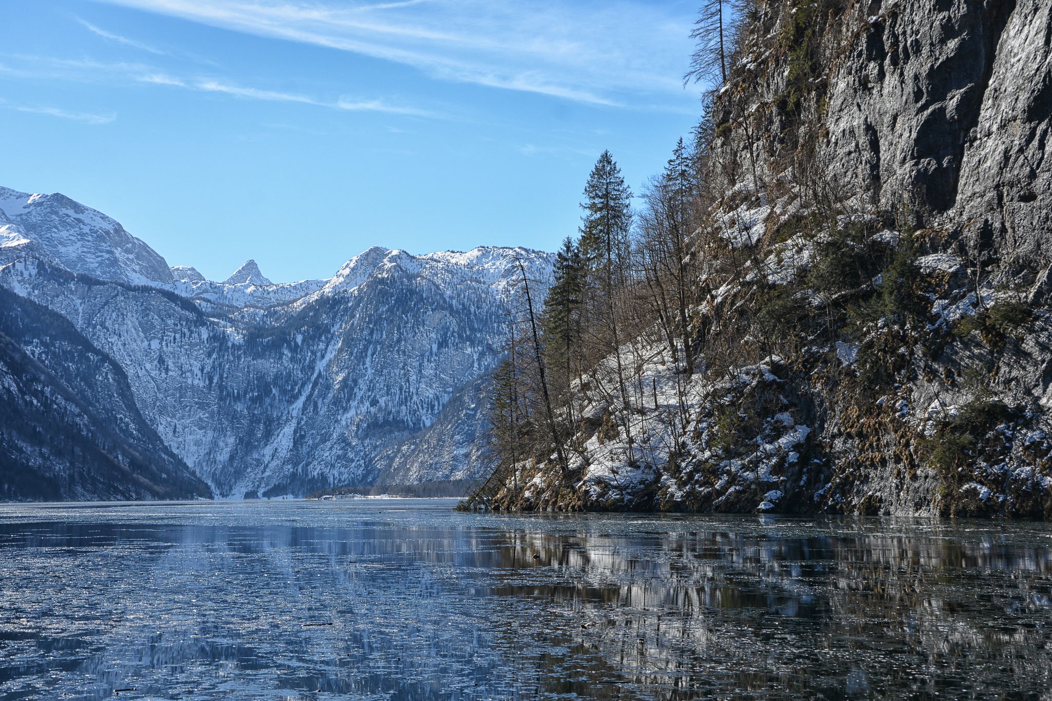
Winter in Upper Bavaria – 8 wonderful hikes
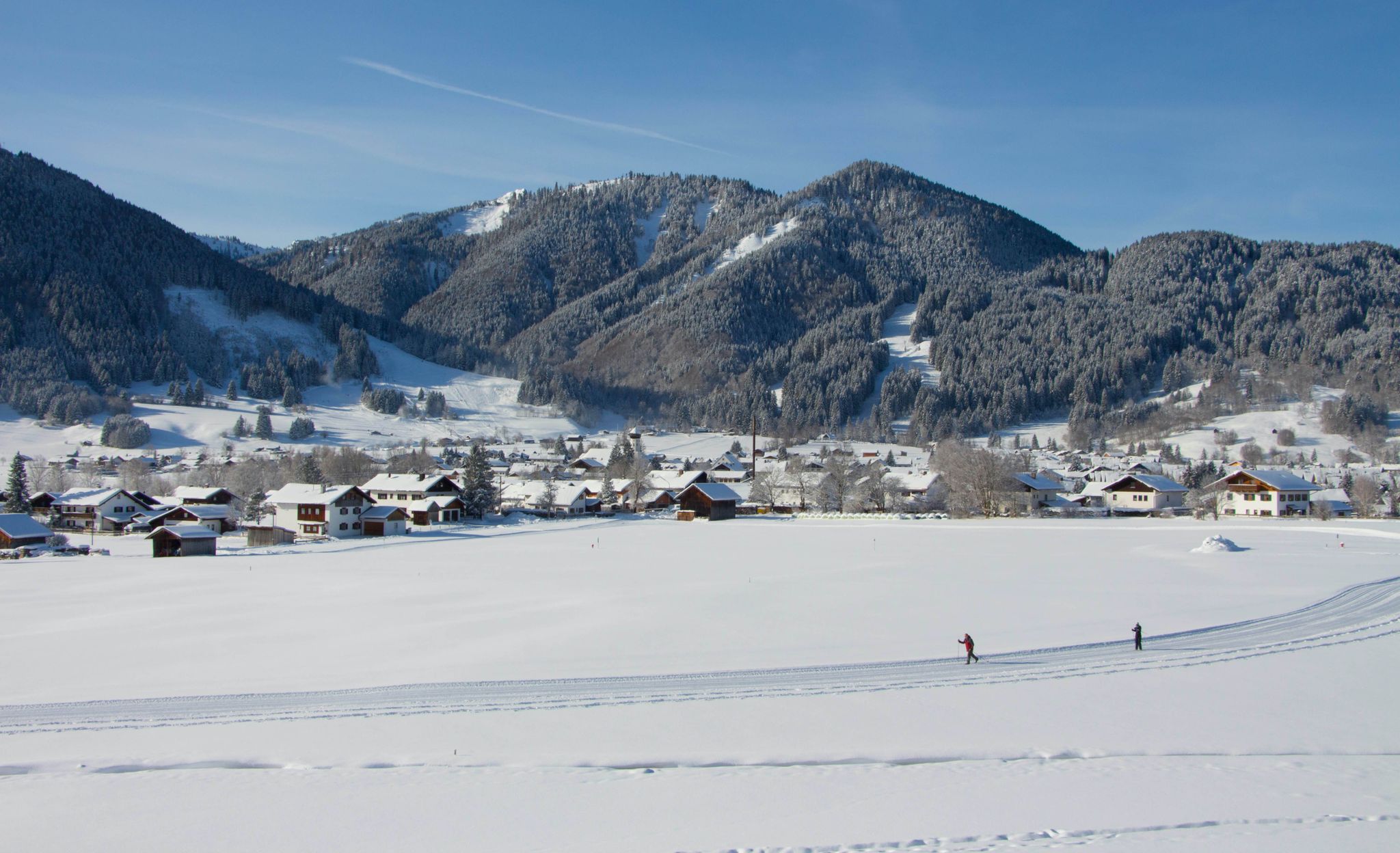
Auf ruhigen Loipen durch den Naturpark Ammergauer Alpen
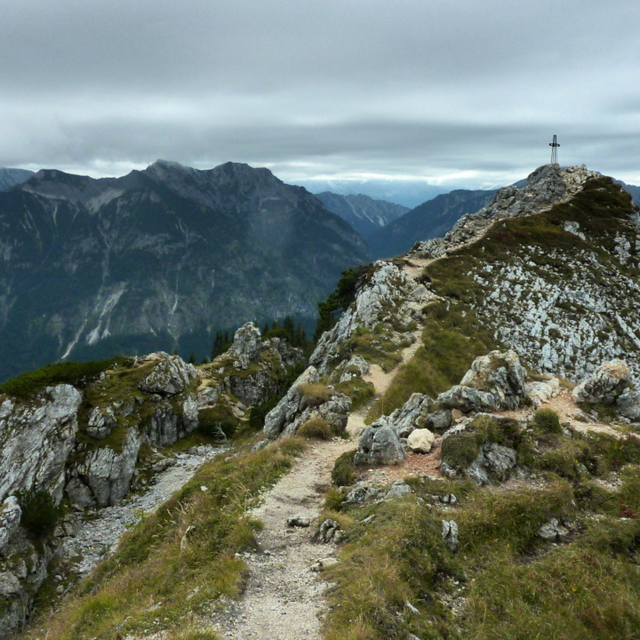
Hiking around Saulgrub
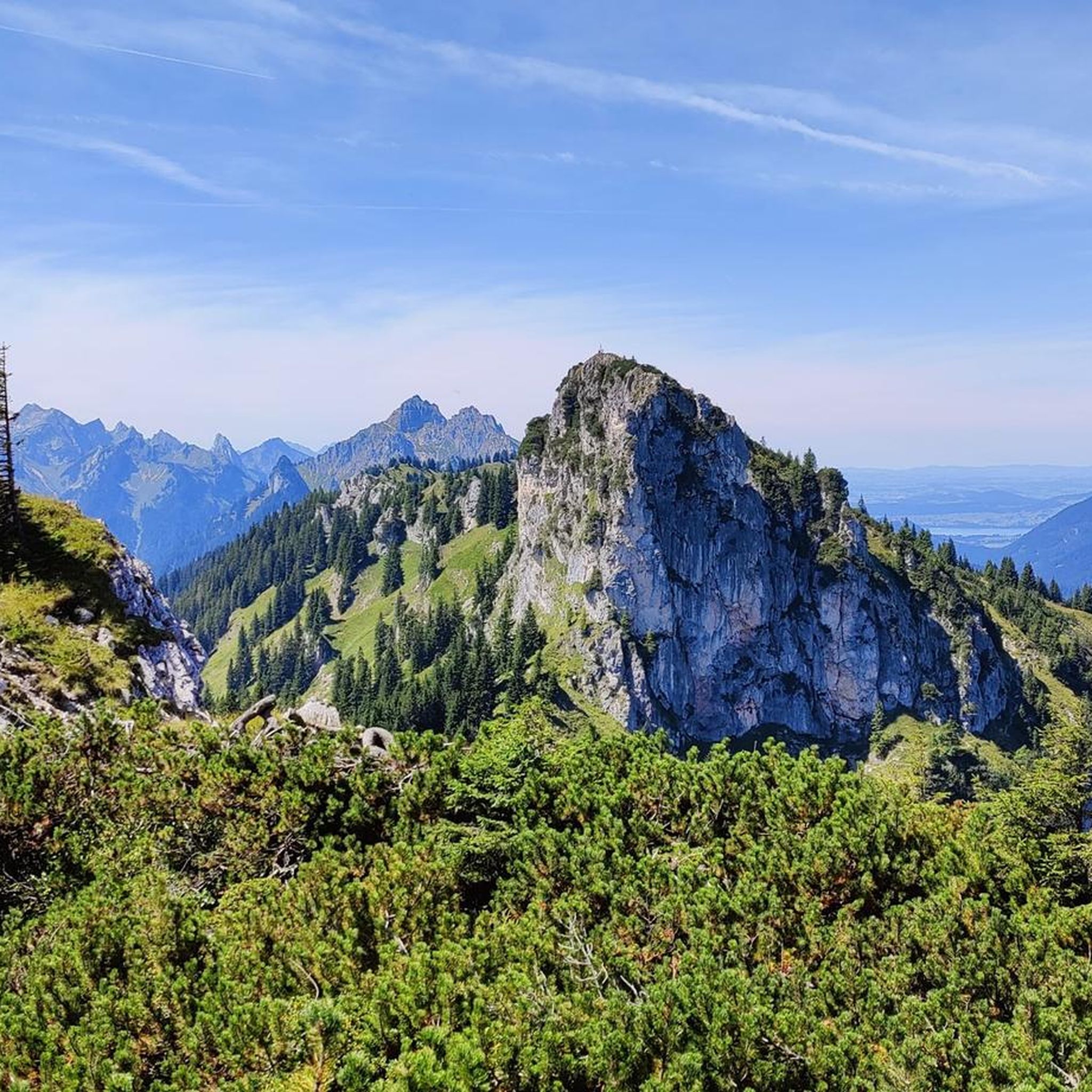
MTB Trails around Saulgrub
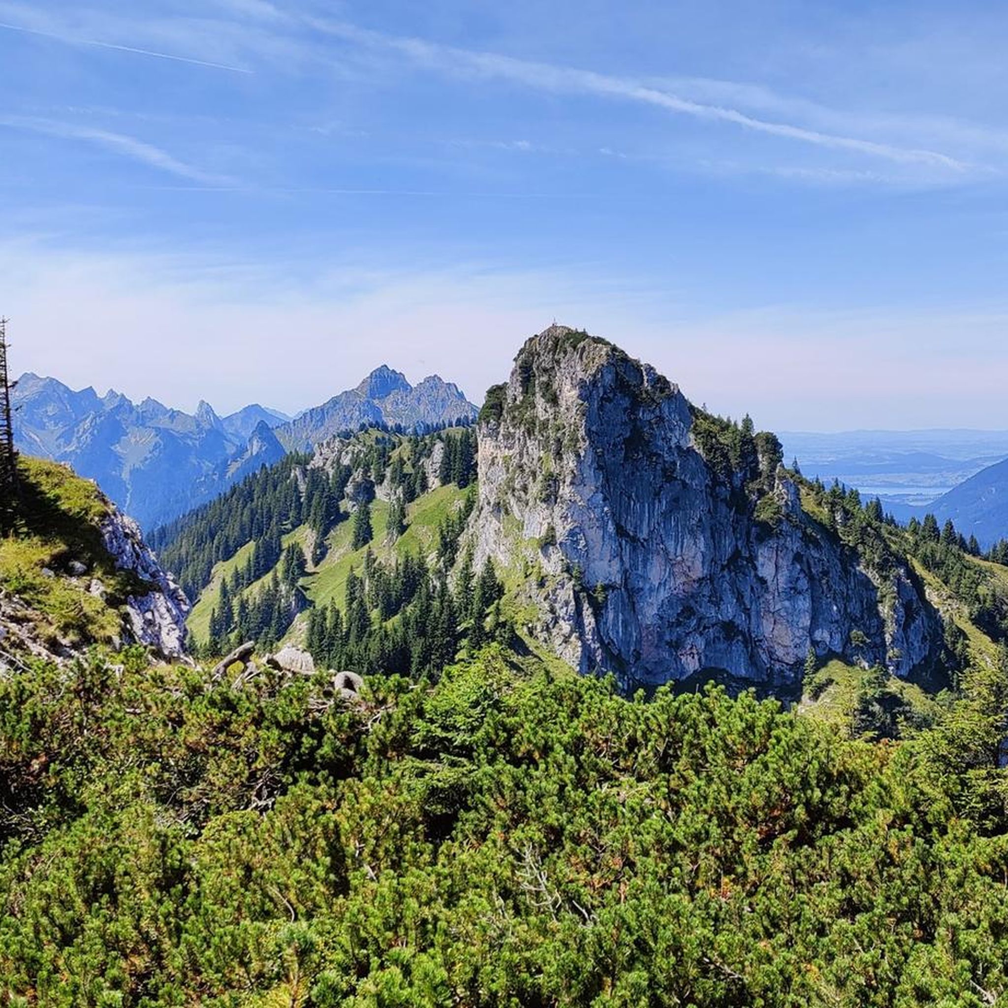
Road Cycling Routes around Saulgrub

Gravel biking around Saulgrub
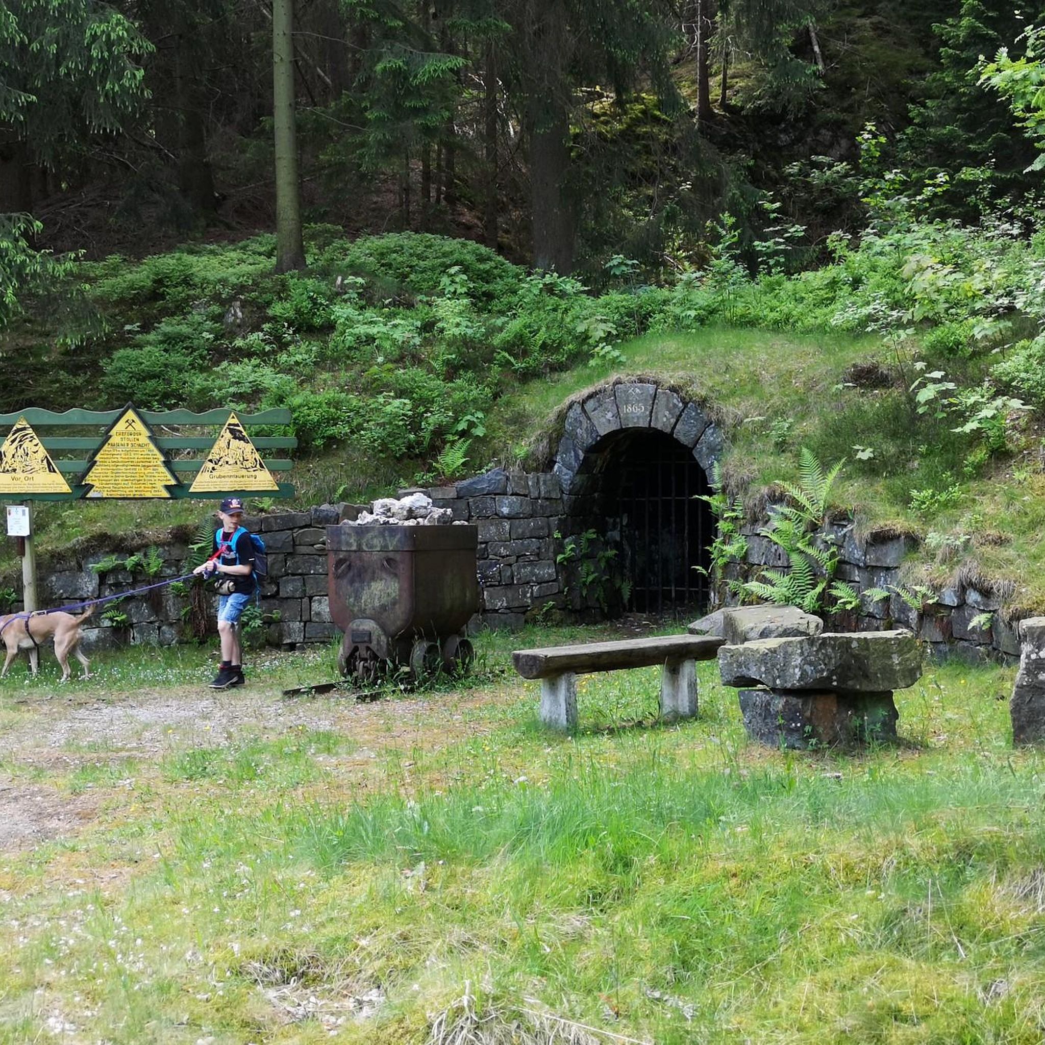
Mountain Hikes around Saulgrub
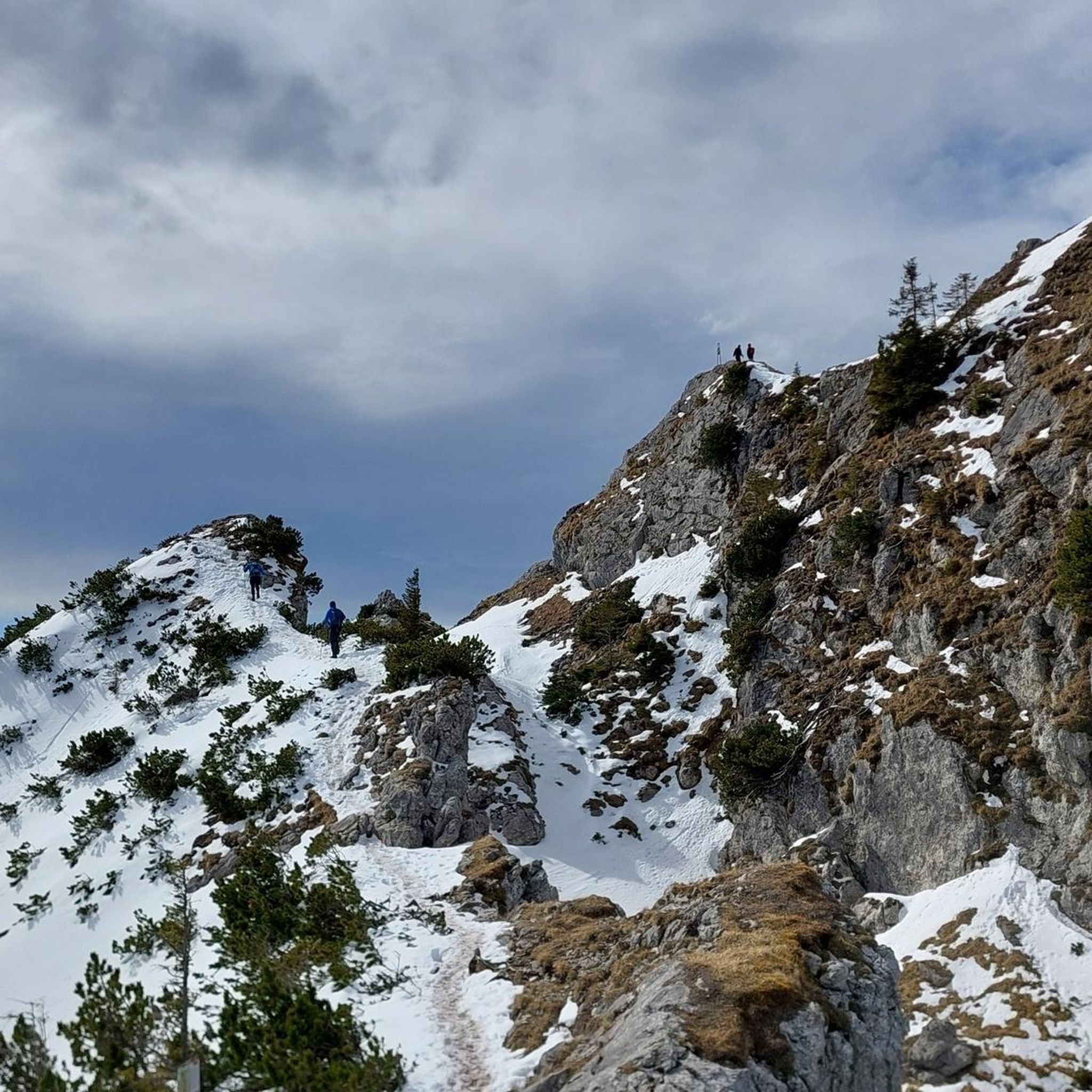
Running Trails around Saulgrub


Tips from the Community

Small stream crossing, currently also little water, as almost everywhere.
0
0
Beautiful landscape and great to be out here.
0
0
Beautiful cycle path along the Ammer, a great area
0
0

So interesting to wander through this great landscape and explore nature.
0
0

Village shop where you can also refill water and use the toilet outside of opening hours.
0
0

Scenically very beautiful section! Almost floodplain landscape in places.
0
0
Beautiful town center of the well-kept village with the pretty houses.
0
0
Frequently Asked Questions
What kind of terrain can I expect on touring cycling routes around Saulgrub?
The region offers diverse terrain, from flat routes along the Ammer River to more challenging mountain stages within the Ammergau Alps. You'll find a mix of paved surfaces, quiet roads, and some unpaved segments, with views of peaks like the Hörnle and Ettaler Manndl.
Are there any challenging touring cycling routes for experienced cyclists?
Yes, Saulgrub provides several challenging routes. For instance, the Ammer riverside in Oberammergau – Ammer River Cycle Path loop from Altenau (Bay) is rated as difficult, covering 17.5 miles (28.2 km) with significant elevation gain. Another difficult option is the Waterfalls Near Bad Kohlgrub – Murnauer Moor loop from Saulgrub, which includes 747 meters of elevation gain.
What natural features can I explore along the cycling routes in Saulgrub?
Cyclists can enjoy the Ammer River, one of Germany's last wild rivers, and unique high moorlands and orchid meadows. The region is also dotted with beautiful lakes like the Staffelsee, offering scenic views. The Murnauer Moos is another extensive moorland area with cycling routes passing through it.
Are there any family-friendly touring cycling routes in Saulgrub?
Yes, there are leisurely bike tours suitable for families and children. The region offers easy routes, such as parts of the Ammer-Amper cycle path between Ettal, Oberammergau, and Unterammergau, and the Altenauer Talweg, providing a pleasant experience for all ages.
What are some notable landmarks or attractions to see while cycling in Saulgrub?
Beyond natural beauty, you can visit the UNESCO World Heritage site Schleifmühl Gorge, which features a stream and waterfalls. Other attractions include the Wieskirche, a masterpiece of Bavarian Rococo, and Linderhof Castle, both popular destinations for cultural cycling routes.
When is the best time of year to go touring cycling in Saulgrub?
Spring and summer are ideal for touring cycling in Saulgrub. During these seasons, you can expect dry roads and pleasant weather, which allows for the full enjoyment of the scenic surroundings and diverse landscapes.
How many touring cycling routes are available around Saulgrub?
There are over 25 touring cycling routes available around Saulgrub, catering to various skill levels. This includes 6 easy routes, 8 moderate routes, and 14 difficult routes, ensuring options for every cyclist.
What do other touring cyclists say about the routes in Saulgrub?
The touring cycling routes in Saulgrub are highly rated by the komoot community, with an average score of 4.3 stars from over 190 reviews. More than 1300 touring cyclists have used komoot to explore the varied terrain, often praising the alpine valleys, the Ammer River, and the extensive moorlands.
Can I find routes that offer views of the Ammer River?
Absolutely. The Ammer River is a central feature of the region, and many routes follow its course. For example, the Ammer riverside in Oberammergau – View of the Zugspitze loop from Saulgrub offers continuous views of the river and distant alpine peaks.
Are there any loop routes available for touring cyclists?
Yes, many routes around Saulgrub are designed as loops for convenience. An example is the View of the Ammer River – Wild Halbammer loop from Saulgrub, a difficult 26.5 km route that takes you through varied scenery.
What are the options for parking when cycling in Saulgrub?
Saulgrub and its surrounding villages are well-equipped for visitors. You can typically find designated parking areas in the towns and near popular trailheads, making it convenient to start your cycling tours.
Are there any routes that pass by waterfalls?
Yes, the region features several waterfalls. The Waterfalls Near Bad Kohlgrub – Murnauer Moor loop from Saulgrub is a route that specifically highlights waterfalls near Bad Kohlgrub. You can also explore the Schleifmühl Gorge, which offers paths and wooden walkways along a stream with waterfalls.
Most popular routes around Saulgrub
Most popular attractions around Saulgrub

Get inspired with the komoot mobile app


Explore more
Browse the best Cycling routes in other regions.
