The best walks and hikes around Ragalna
4.5
(2303)
10,862
hikers
17
hikes
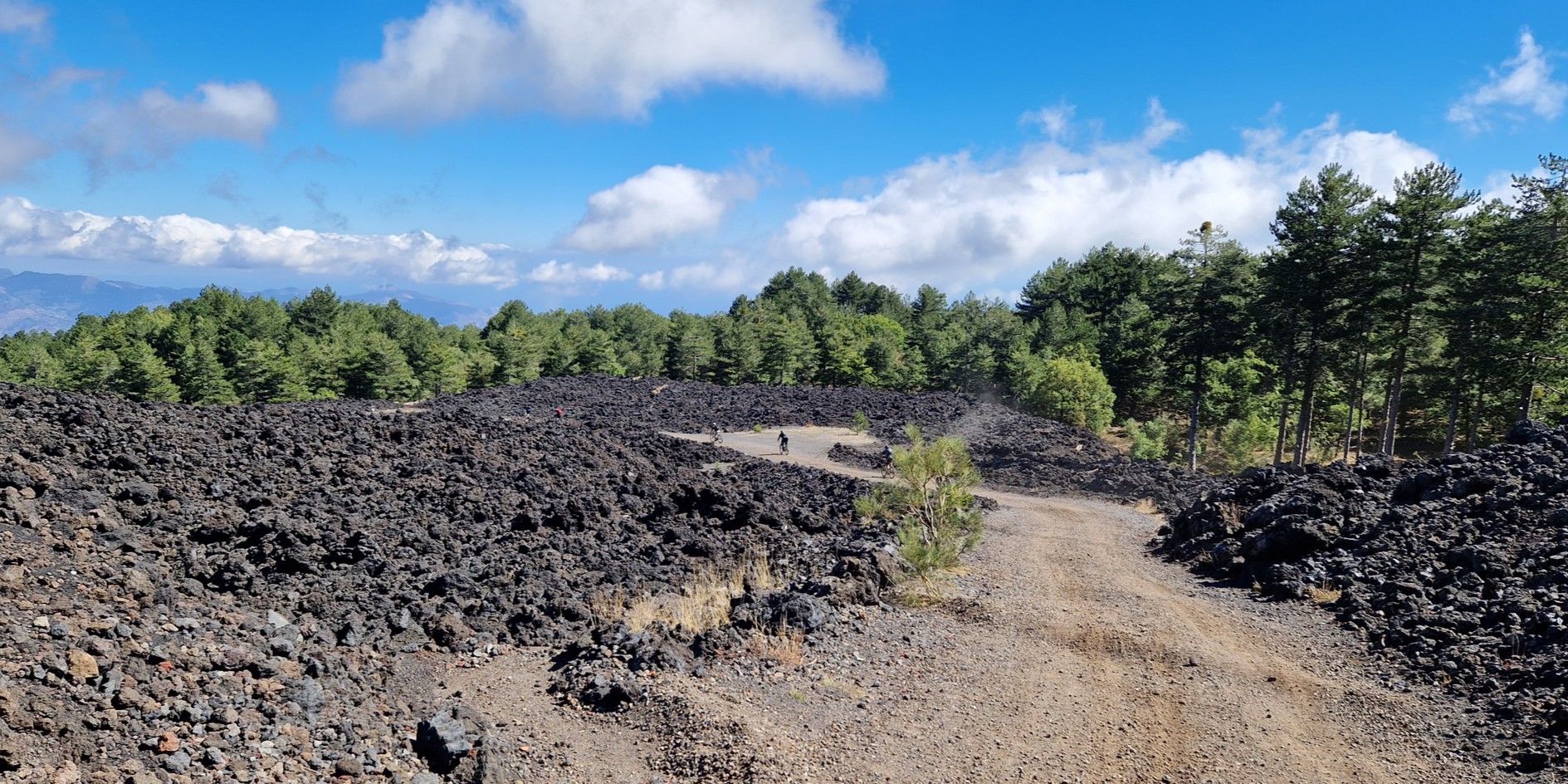
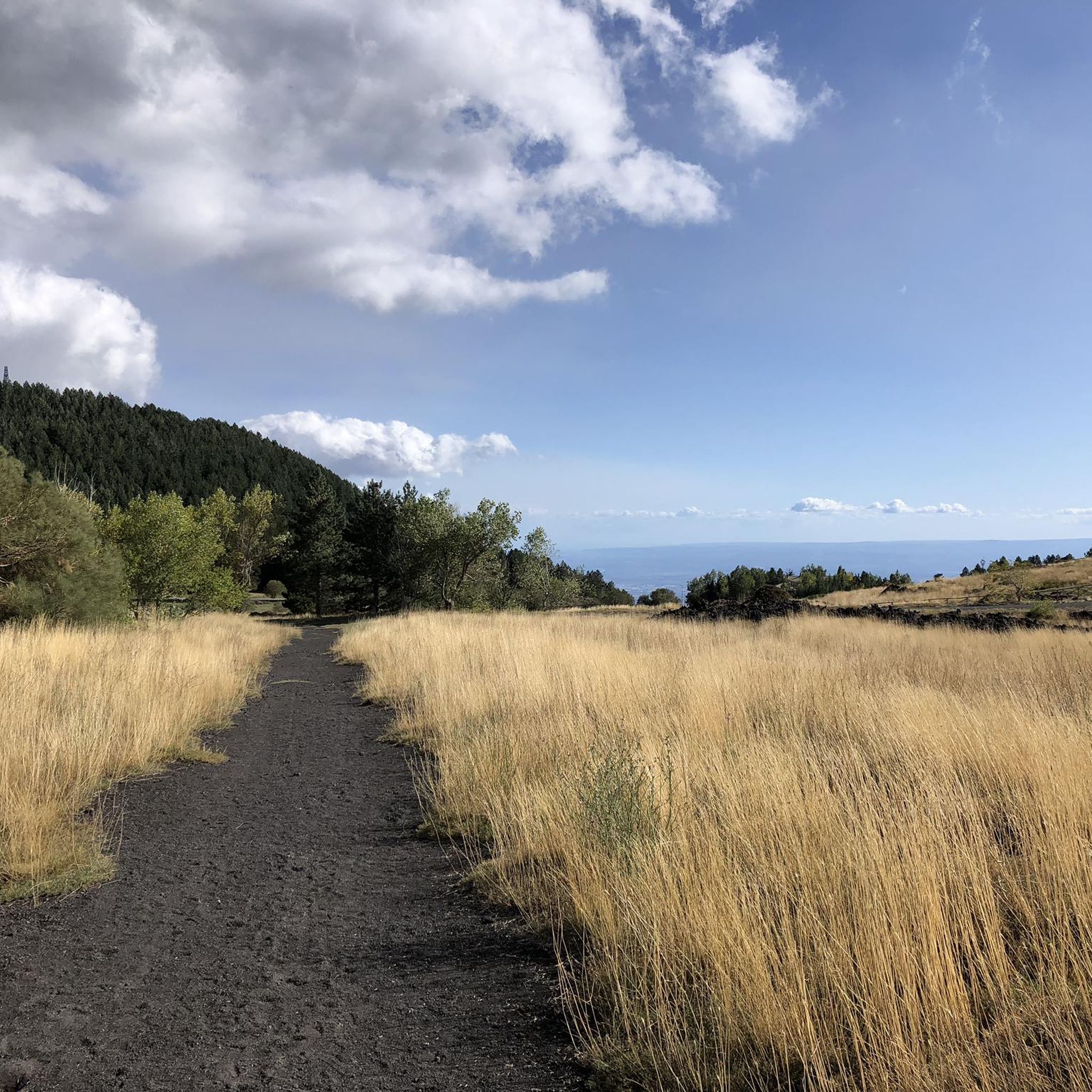
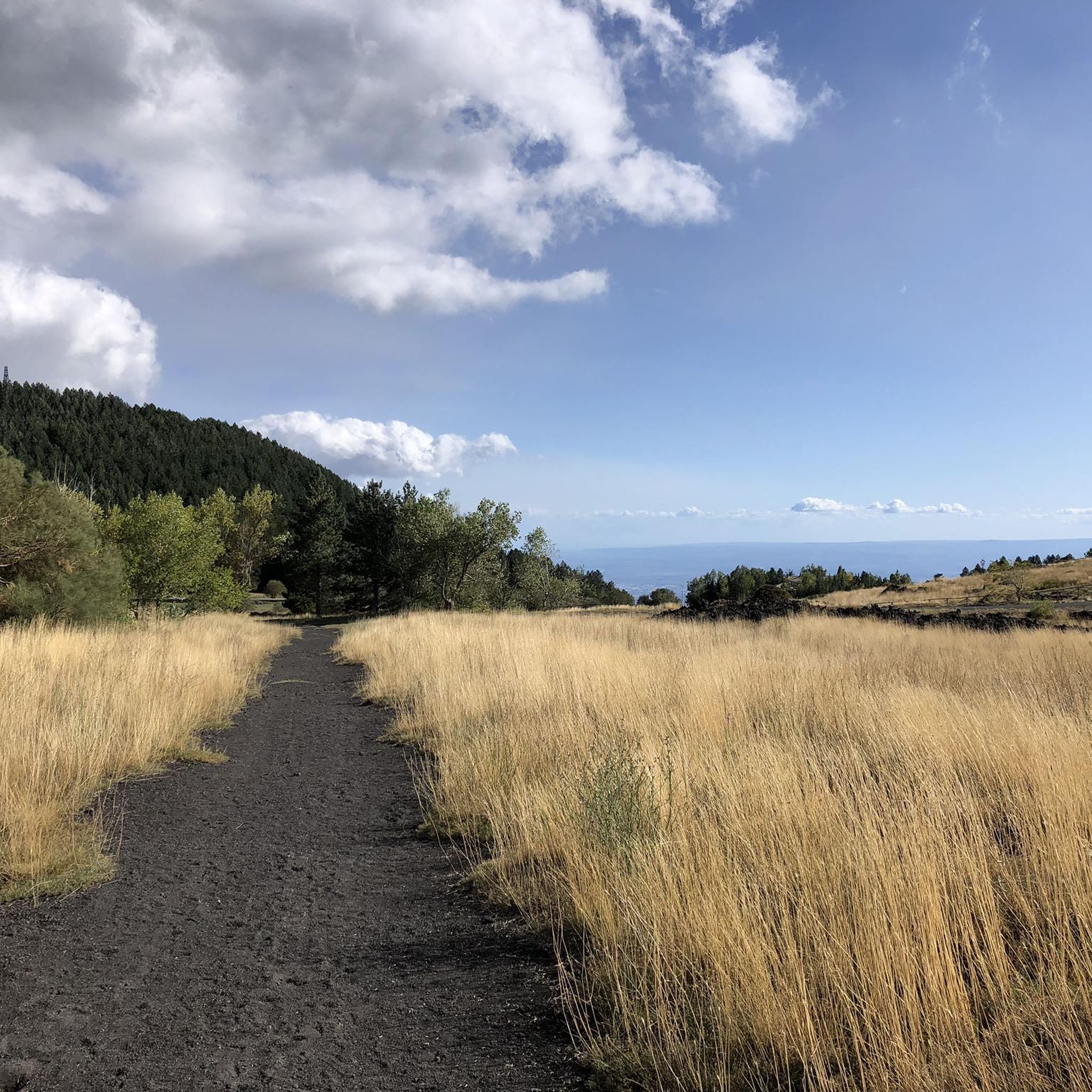
Hiking around Ragalna offers access to the lower slopes of Mount Etna, Europe's most active volcano, in Sicily. The region is characterized by volcanic terrain, including ancient lava flows, and diverse forest ecosystems. Trails often provide panoramic views of the surrounding landscape and the Ionian Sea. The elevation changes vary, providing options from gentle walks to more challenging ascents.
Best hiking trails around Ragalna
- The most popular hiking route is Galvarina Hut – Bench With View of Mount Etna loop…
Last updated: July 19, 2026
4.2
(14)
47
hikers
15.4km
04:33
410m
410m
Hard hike. Good fitness required. Sure-footedness, sturdy shoes and alpine experience required.
4.8
(17)
115
hikers
18.3km
06:44
1,050m
1,050m
Hard hike. Very good fitness required. Mostly accessible paths. Sure-footedness required.

Sign up for free
4.5
(6)
39
hikers
20.7km
05:54
440m
440m
Hard hike. Very good fitness required. Sure-footedness, sturdy shoes and alpine experience required.
4.7
(6)
23
hikers
5.62km
01:40
170m
170m
Easy hike. Great for any fitness level. Easily-accessible paths. Suitable for all skill levels.
5.0
(6)
33
hikers
Moderate hike. Good fitness required. Easily-accessible paths. Suitable for all skill levels.
Get access to more routes and recommendations from other explorers.
Sign up for free
Already have an account?
Our route recommendations are based on thousands of hikes, rides, and runs completed by other people on komoot.
Start today with a free account
Your next adventure awaits.
Login or Signup
Other adventures around Ragalna

Tips from the Community


Impressive volcano, inspiring landscape.
0
0

After a strenuous climb (or by gondola), you arrive at this spot. It's often windy here. Hiking boots are recommended.
0
0
There are some nice, easy walking paths here. No steep inclines.
1
0

beautiful route through woods and lava flows
1
0

Only recommended with a guide, as the terrain is constantly changing.
0
0
From here you can only continue on foot or by bike.
0
0
The lava front of February 2025 cuts off the Altamontana here. A small path leads above or below it.
0
0
Frequently Asked Questions
How many hiking trails are available around Ragalna?
There are over 15 hiking trails around Ragalna, offering a variety of experiences from easy walks to challenging ascents. The region's volcanic landscape provides unique scenery for all levels of hikers.
Are there easy hiking trails suitable for beginners in Ragalna?
Yes, Ragalna offers several easy hiking trails perfect for beginners or those looking for a relaxed walk. An excellent option is the Rifugio Santa Barbara – Lava Flows of Mount Etna loop from Monte dei Santi, which is about 3.6 miles (5.8 km) long and takes less than two hours to complete, leading through fascinating volcanic lava flows.
What kind of challenging hikes can I find in Ragalna?
For experienced trekkers, Ragalna provides challenging routes with significant elevation changes and longer distances. The Lava channel on Mount Etna – View of Mount Etna loop from Monte dei Santi is a difficult 11.2 miles (18.1 km) path that explores ancient lava channels and offers extensive views of Mount Etna.
What is the typical duration of hikes around Ragalna?
Hike durations vary significantly depending on the trail's length and difficulty. Easy routes, like the Rifugio Santa Barbara – Lava Flows of Mount Etna loop from Monte dei Santi, can be completed in under two hours, while more challenging trails, such as the Bench With View of Mount Etna – Galvarina Hut loop from Monte dei Santi, can take over five hours.
Are there family-friendly hiking options in Ragalna?
Yes, many of the easier trails around Ragalna are suitable for families. These routes often feature relatively flat terrain and shorter distances, allowing children to enjoy the unique volcanic landscapes and forest environments without excessive exertion. Look for trails marked as 'easy' on komoot for the best family-friendly options.
Are dogs allowed on the hiking trails around Ragalna?
Generally, dogs are welcome on many hiking trails in the Ragalna area, especially those outside of strictly protected zones. However, it's always advisable to keep them on a leash, especially in areas with wildlife or near livestock, and to check specific park regulations if entering the Etna Regional Park boundaries. Always carry water for your dog, particularly on warmer days.
What interesting landmarks or natural features can I see along the hiking trails?
Hiking around Ragalna offers access to unique volcanic features. You can explore ancient lava flows, visit various craters like the Laghetto Crater or Monti Sartorius, and discover fascinating caves such as Serracozzo Cave or the Snow Grotto. Many trails also offer panoramic views of Mount Etna and the Ionian Sea.
Are there circular hiking routes available in Ragalna?
Yes, many of the trails around Ragalna are designed as circular routes, allowing you to start and end at the same point. An example is the Galvarina Hut – Bench With View of Mount Etna loop from Adrano, which provides a comprehensive experience without needing to retrace your steps.
What do other hikers enjoy most about hiking in Ragalna?
The hiking trails around Ragalna are highly rated by the komoot community, with an average score of 4.5 stars from over 2,000 reviews. Hikers often praise the unique volcanic landscapes, the diverse forest ecosystems, and the stunning panoramic views of Mount Etna and the Ionian Sea.
Is parking available at the trailheads in Ragalna?
Parking is generally available at or near the main trailheads and popular starting points for hikes around Ragalna, especially closer to the Mount Etna access roads. However, it's always recommended to arrive early during peak season to secure a spot, particularly for popular routes.
Can I reach hiking trails in Ragalna using public transport?
While some local bus services connect Ragalna to larger towns, direct public transport access to specific trailheads higher up Mount Etna's slopes can be limited. For many routes, especially those starting deeper into the natural park, a car is often the most convenient option. It's advisable to check local bus schedules and routes in advance if relying on public transport.
What is the best time of year to hike around Ragalna?
The best time to hike around Ragalna is typically during the spring (April to June) and autumn (September to November) when temperatures are milder and the vegetation is vibrant. Summer can be very hot, especially at lower elevations, while winter may bring snow to higher parts of Mount Etna, requiring specialized gear and experience.
Most popular attractions around Ragalna

Get inspired with the komoot mobile app


Explore more
Browse the best Hikes in other regions.
