The 17 Most Amazing Peaks around Braone
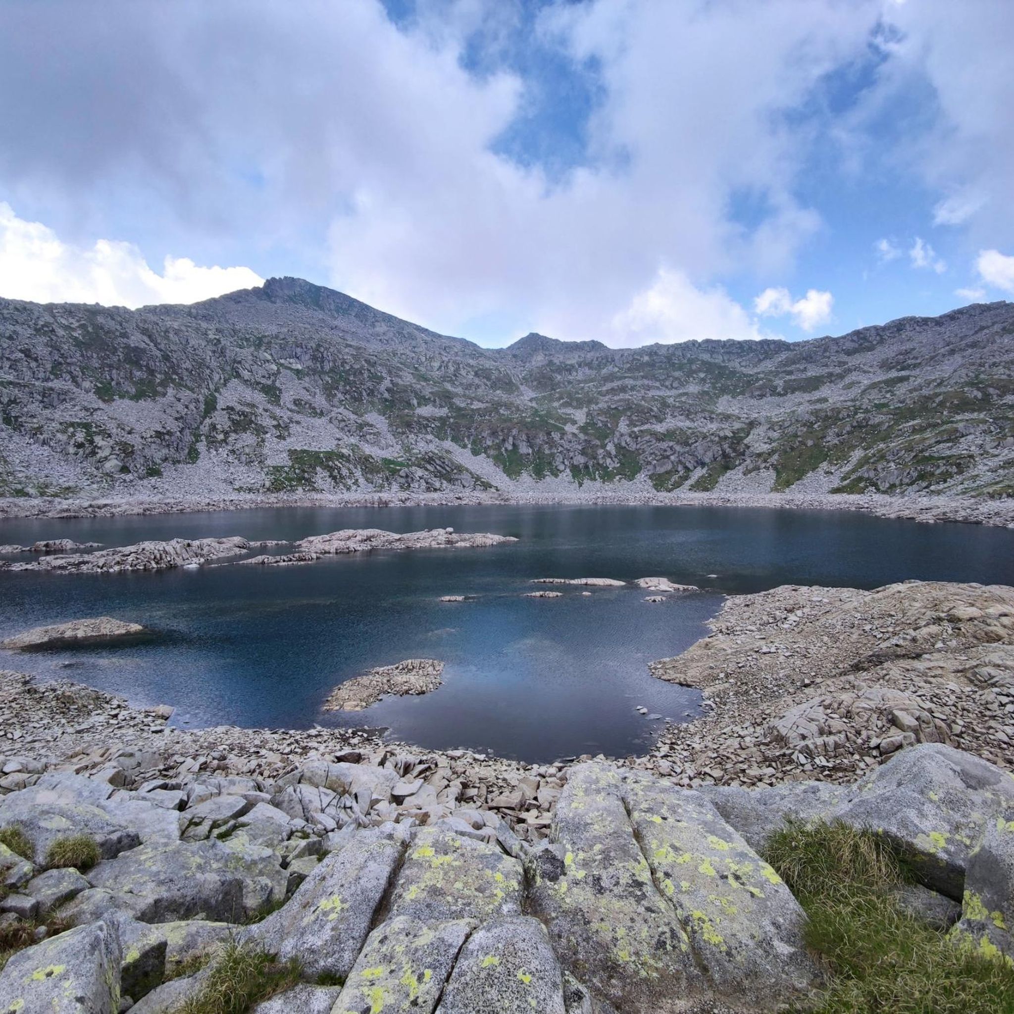
Mountain peaks around Braone, a comune in the Val Camonica of Brescia, Lombardy, Italy, present a diverse mountainous landscape for exploration. The region features a range of elevations, from hills to high mountains, with forests being a common land use. This area provides numerous opportunities for hiking and experiencing varied natural environments. Braone is surrounded by a landscape offering notable peaks and scenic locations.
Best mountain peaks around Braone
- The most popular mountain peaks is Campelli Pass, a mountain…
Last updated: September 26, 2026
Campelli Pass
Highlight • Mountain Pass
Translated by Google •
Tip by

Cimon della Bagozza Hut
Highlight • Mountain Hut
Translated by Google •
Tip by

Sign up now to discover places like this
Get recommendations on the best single tracks, peaks, & plenty of other exciting outdoor places.
Mount Campioncino
Highlight • Summit
Translated by Google •
Tip by
Bivacco Blumone
Highlight • Mountain Hut
Translated by Google •
Tip by

View of Pizzo Badile
Highlight • Viewpoint
Showing Translation
Tip by

Sign up for free to discover even more peaks around Braone.
Already have an account?
Start today with a free account
Your next adventure awaits.

Tips from the Community

Very kind and friendly staff
0
0

The Pizzo Badile Camuno is one of the most iconic peaks in the middle Val Camonica: a limestone mountain with an unmistakable shape, a summit at 2,435 m, spectacular views, and a challenging but very rewarding via ferrata. Here is a clear and updated summary to help you orient yourself. 🏔️ Pizzo Badile Camuno Profile - Altitude: 2,435 m a.s.l. - Location: between Ceto and Cimbergo, in the Adamello group. - Mountain character: isolated peak, "shovel" shape (hence the name), often called the "Cervino of Camonica". - Geology: very white limestone upper part, resting on the dark Fasa band, with a granite base of the Adamello massif. 🧗♂️ The Pizzo Badile Camuno via ferrata One of the best-known and most frequented routes in the area, classified C/D, therefore challenging. - Total elevation gain: ~1,385 m - Total duration: approximately 6h30’ (approach + via ferrata + return). - Difficulty: moderate technical skill required, but physically very demanding. - Exposure: constant, with equipped sections on smooth slabs and Grade I passages in the woods. - Mandatory equipment: helmet, harness, via ferrata set (the rock is crumbly and prone to rockfall). 🚶♂️ Ascent Itinerary (from Cimbergo – Volano) Starting point: dirt road above Cimbergo, near Rifugio De Marie (1420 m). 1) Approach - CAI Trail 77, steep and with equipped sections already in the woods. - Passages on smooth slabs with chains and some rocky jumps. - Exit from the woods with a view of the Volano basin and the middle Val Camonica. 2) Mario Donati Bivouac - Small wooden structure nestled in the rock, a perfect spot for a break. - From here, the most exposed section towards the base of the wall begins. 3) Final via ferrata - Long and continuous steel cable. - Exposed passages on grassy rocks and oblique traverses. - Arrival at the fissure that divides the Pizzo in two: from here the summit is close. 🌄 View from the summit One of the widest in Val Camonica: - Adamello and Pian di Neve - Concarena - Presolana - Lake Iseo - Up to the more distant Disgrazia and Bernina on clear days 📜 Historical Notes - First documented explorations: 1855, Prof. Regazzoni. - First official ascent: May 25, 1884, Ballardini and Beatrici.
0
0
The Cimon della Bagozza Refuge is located at 1,600 meters above sea level in the beautiful Conca dei Campelli, in the municipality of Schilpario (BG), in the Scalve Valley. It is an ideal destination for hikers, families, and snowshoers, nestled in the so-called "Little Bergamo Dolomites." 🏡 Main Information Management: Cimon della Bagozza Alpine Group – Manager Silvio Visini Phone: 0346 56300 Email: rifugiobagozza@hotmail.it Altitude: 1,600 m Beds: approximately 50 (35 indoors) Cuisine: Traditional Bergamo cuisine – the "Polenta e quel che c'è" menu is famous Open all year round Pets allowed 🥾 How to get there From Fondi di Schilpario: approximately 1 hour on foot, elevation gain +350 m By car: In summer, you can get very close to the refuge by parking in Cimalbosco Trails: CAI 419 and 428, also ideal for families and beginners ❄️ In winter The refuge is open even in the snow and is a perfect destination For: Snowshoeing Hiking with crampons Family weekend in the snow Always check the avalanche bulletin (ARPA Lombardia) before leaving 🌄 What to see nearby Lake Campelli Madonnina dei Campelli Mount Campioncino Don Giulio Corini Bivouac Cimon della Bagozza (2,407 m) – for experienced hikers
0
0
Mount Campioncino (2,102 m) is a panoramic peak in the Bergamo Prealps, located between the Scalve Valley (Bergamo) and the Camonica Valley (Brescia). It is a popular hiking destination for its spectacular views and relative ease of access. 🏔️ Key information Altitude: 2,102 m Starting point: Fondi di Schilpario (BG) or Passo dei Campelli Elevation gain: approximately 850–890 m Difficulty: hiking (E), with easy sections (F) on an unmarked trail Type of route: circular or round trip Duration: 4.5–6 hours total, depending on the route 🌄 View from the summit From the summit, you can enjoy a breathtaking view of: Presolana Cimon della Bagozza Monte Campione Concarena The valleys below: Val di Scalve and Val Camonica 🥾 Recommended itinerary Starting point: Fondi di Schilpario (1,249 m) Route: climb to Passo dei Campelli Monte Campioncino is considered a true balcony overlooking Val Camonica, with a view that it extends as far as Mount Adamello on clear days
0
0
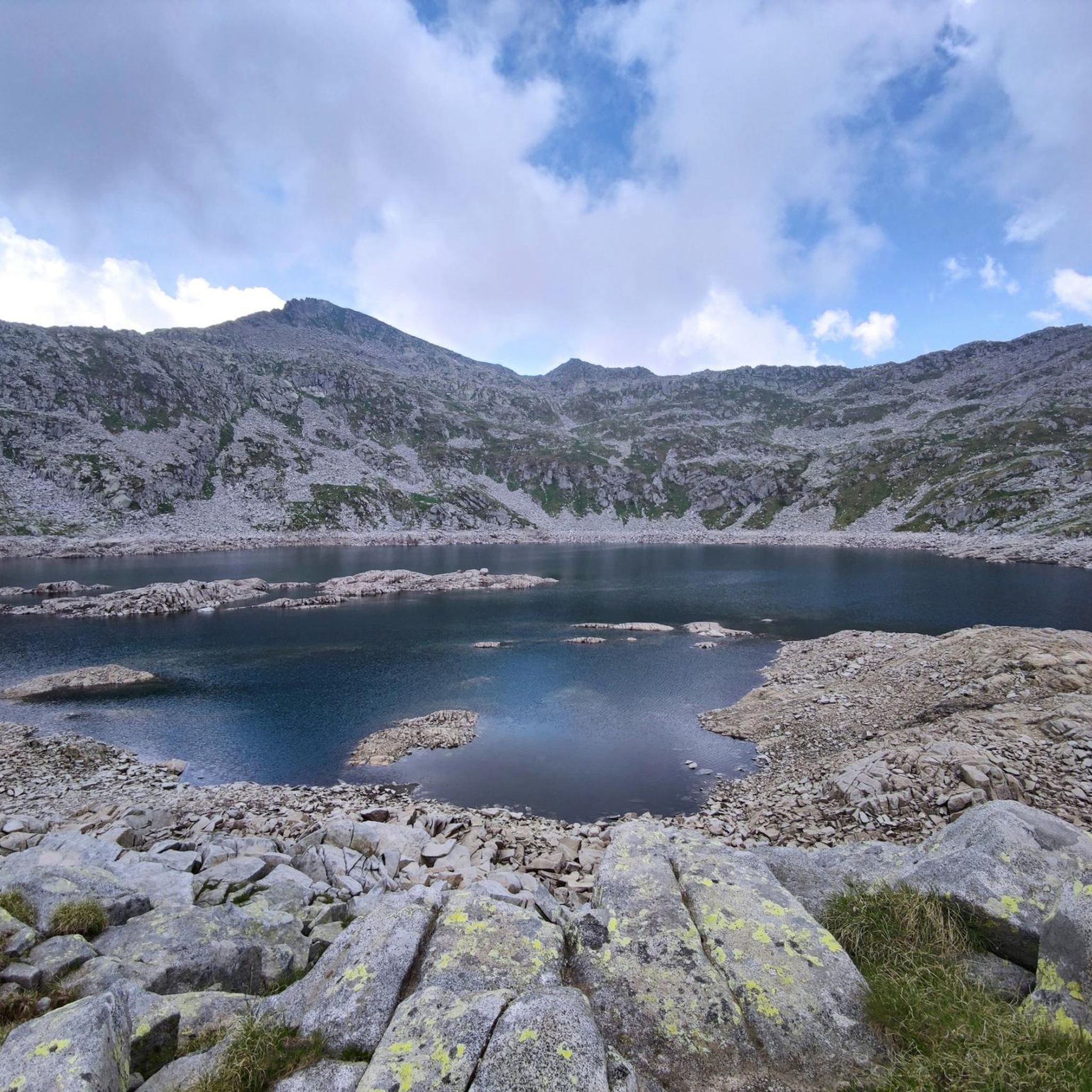
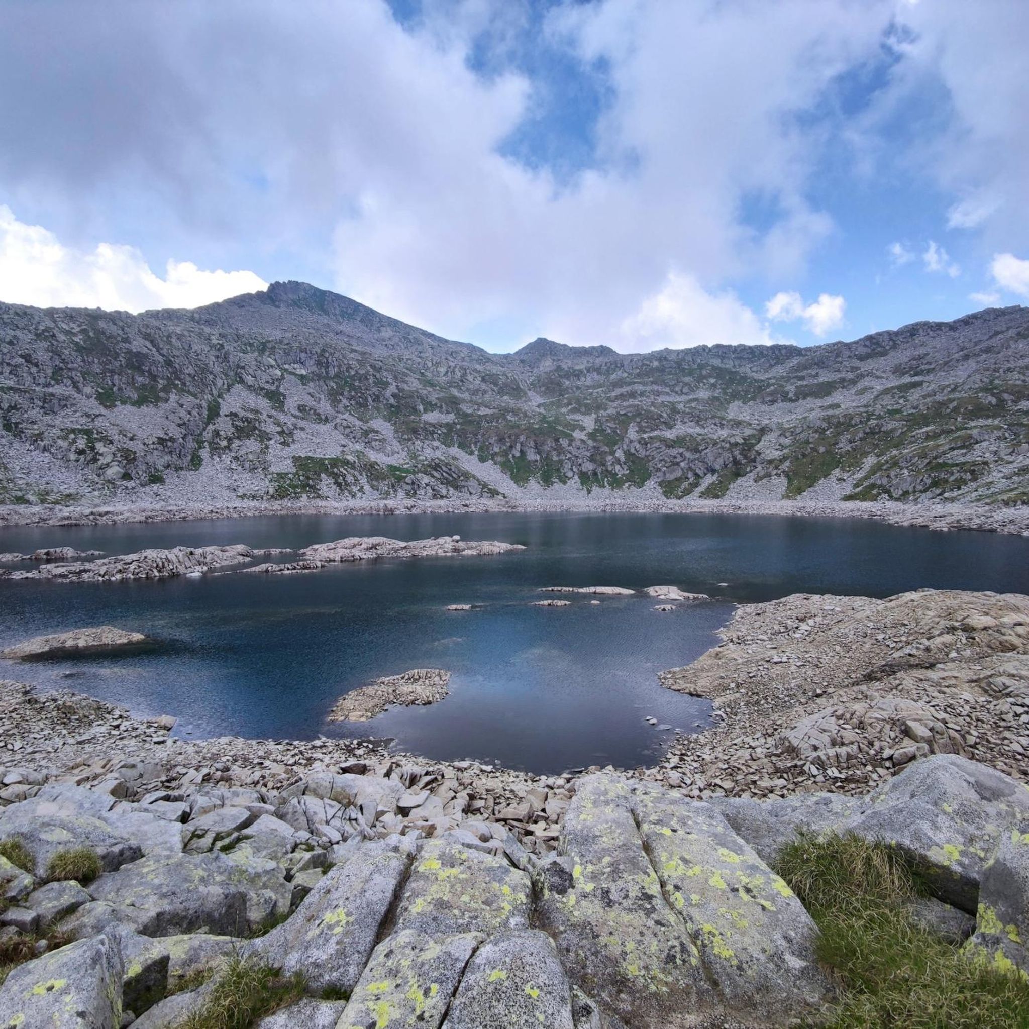
The Campelli Pass is an Alpine pass at approximately 1,892 meters above sea level that connects the Scalve Valley (province of Bergamo) with the Camonica Valley (province of Brescia). It is a popular hiking destination for its scenic beauty and the variety of available itineraries. 🏔️ Main Features Location: Between Schilpario (BG) and Cerveno (BS) Elevation: approximately 1,892 m View: Spectacular view of Cimon della Bagozza and the Piccole Dolomiti Scalvine Access: From Schilpario – Fondi: winter route for snowshoeing or ski mountaineering From Schilpario – Baracca Rossa: shorter and more scenic summer route From Ono San Pietro (BS): longer and more challenging route 🚶♂️ Recommended Activities Summer Hiking: Well-marked trails, also suitable for families Winter Snowshoeing: Safe and picturesque itineraries in the snow Mountain Biking: Technical and scenic routes, with stops at the Campione Refuge and Campelli Lake 📍 Nearby Points of Interest Campione Refuge: Not far from the pass, offers refreshments and overnight accommodations Campelli Lake Campelli: a small Alpine lake, ideal for a break Madonnina dei Campelli: a panoramic and spiritual point along the route
0
0

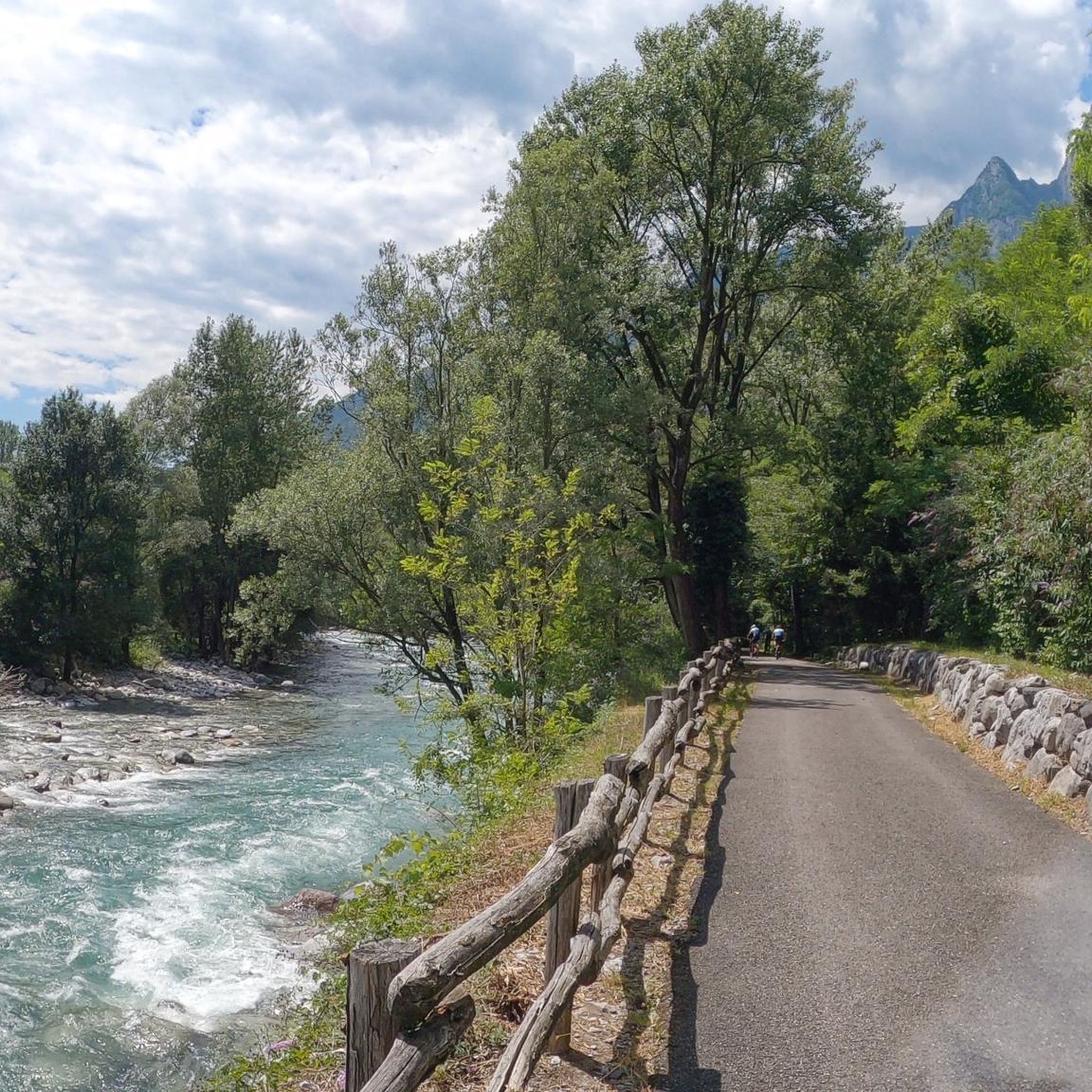
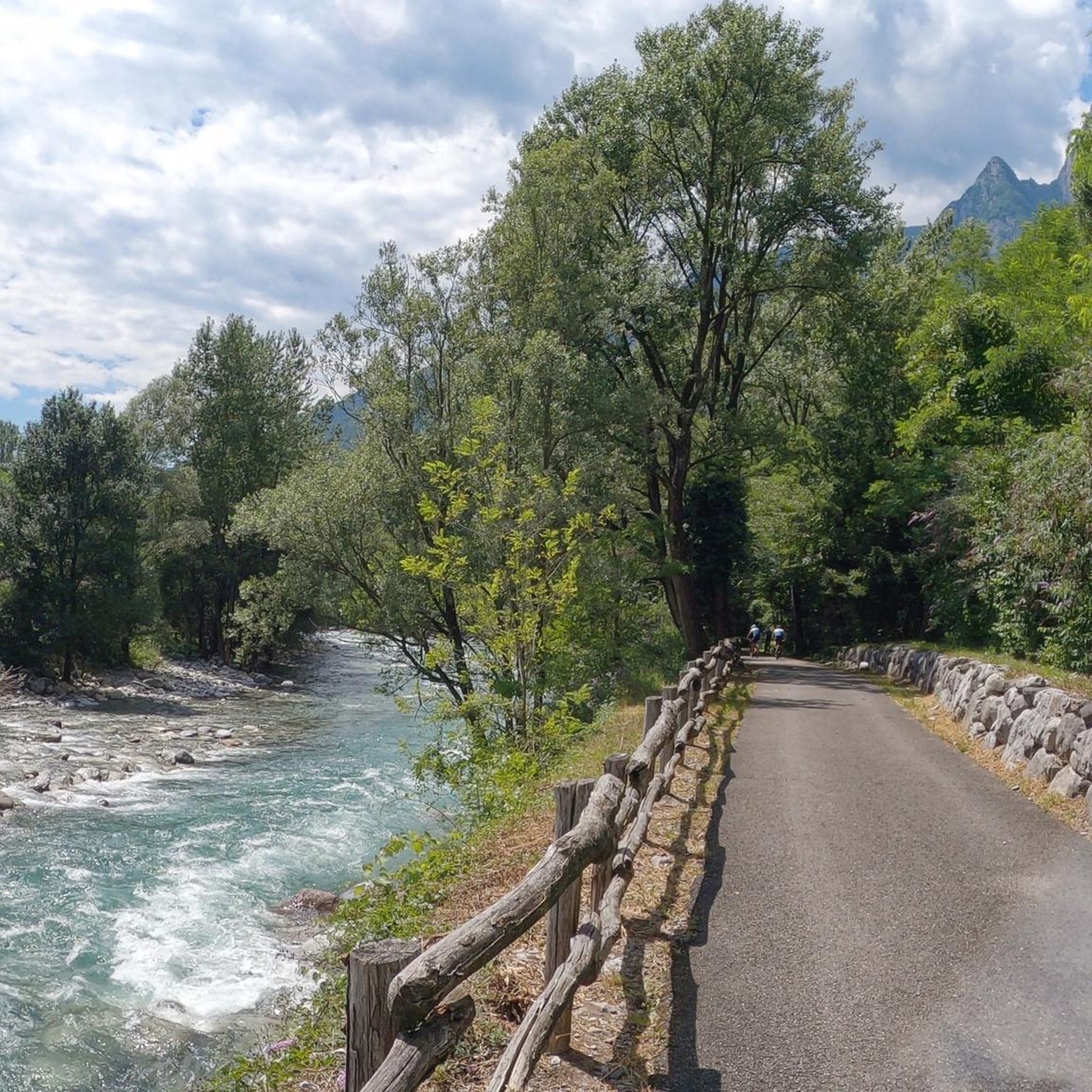
Low altitude refuge, it has the great advantage of being reachable by car thanks to the road that leads to the Vivione pass. Well maintained.
0
0

Splendid view of Cimon Bagozza, Scalve Valley and Valcamonica
0
2
Small refuge, starting/stopping point for various paths in the upper Scalve valley
0
0
Frequently Asked Questions
What are some of the most popular mountain peaks and passes to explore around Braone?
The region around Braone offers several notable peaks and passes. Among the most popular are Campelli Pass, known for its dominant views of both the Scalve and Camonica Valleys, and Mount Campioncino, which is relatively easy to reach and offers panoramic views. Visitors also appreciate Corna Bianca for its unique white limestone rock formation.
Are there any family-friendly mountain destinations near Braone?
Yes, the area around Braone has options suitable for families. The Cimon della Bagozza Hut is considered family-friendly and serves as an excellent starting point for various excursions in the Conca dei Campelli. Its accessibility and the surrounding natural beauty make it a good choice for families.
What kind of natural features can I expect to see on the mountain peaks around Braone?
You can expect diverse natural features, including stunning panoramic viewpoints from passes like Campelli Pass, which offers views of Cimon della Bagozza and Mengol. Corna Bianca is a unique natural monument characterized by its very white limestone rock, creating a striking expanse of white sand along the path below.
What is the highest mountain peak in the immediate vicinity of Braone?
Concarena, located approximately 5.3 km west-northwest of Braone, is noted as the nearest mountain to the comune, reaching a height of 2,549 meters. While not listed as a highlight in the guide, its proximity and elevation make it a significant feature of the local landscape.
What are the best times of year to visit the mountain peaks around Braone?
The environment around Campelli Pass is described as spectacular year-round. It's ideal for ski mountaineering or snow excursions in winter and spring, while summer offers excellent opportunities for hiking and enjoying panoramic views. Generally, late spring to early autumn provides the best conditions for hiking.
Are there opportunities for winter activities like ski mountaineering on these peaks?
Yes, the region is well-suited for winter activities. Campelli Pass is particularly recommended for ski mountaineering or snow excursions in winter and spring. Mount Campioncino is also a popular destination for ski mountaineering in winter.
What kind of hiking difficulty can I expect on the trails leading to these peaks?
The difficulty varies. Peaks like Mount Campioncino are relatively easy to reach, often just a half-hour walk from a refuge or an hour from a pass. However, other routes, especially those involving bivouacs like Bivacco Blumone, can be more challenging and are suitable for experienced hikers.
Are there any mountain huts or bivouacs available for overnight stays?
Yes, the area features important landmarks like the Cimon della Bagozza Hut, which is a beautiful and ancient refuge. For a more rustic experience, Bivacco Blumone offers a self-managed shelter with basic amenities like beds, a stove, and crockery, ideal for spending a night in the mountains.
What outdoor activities can I do near the mountain peaks around Braone besides hiking?
Beyond hiking, the region offers various outdoor activities. You can explore gravel biking routes, enjoy running trails, or embark on road cycling adventures. These activities allow you to experience the diverse landscapes surrounding the peaks.
How accessible are the starting points for hikes to these mountain peaks?
Many starting points are accessible by car. For instance, to reach Mount Campioncino, you can leave your car in Fondi di Schilpario or near Baracca Rossa. Campelli Pass can be reached from various points, including a walk from Baracca Rossa on the Vivione Pass road or from Fondi di Schilpario.
What do visitors particularly enjoy about the mountain peaks around Braone?
Visitors frequently praise the spectacular views and the diverse natural environment. Many describe the experience as feeling 'in paradise' when admiring the surrounding peaks, especially from viewpoints like Corna Bianca. The opportunity for both summer excursions and winter ski mountaineering is also highly valued.
Most popular routes around Braone
Most popular attractions around Braone

Get inspired with the komoot mobile app


Explore more
See even more amazing summits around Braone with these guides:
