The best walks and hikes around Comezzano-Cizzago
4.4
(286)
1,124
hikers
76
hikes
Hiking around Comezzano-Cizzago offers exploration within the Po Valley, characterized by rural landscapes and the Oglio River. The region features a blend of cultivated fields, woodlands, and riparian vegetation along the river's course. Hikers can experience diverse environments, including gravel areas and sandy islands, shaped by the Oglio River. Historical attractions like castles and ancient villages are often integrated into the hiking experience.
Best hiking trails around Comezzano-Cizzago
- The most popular hiking route is Barbò Castle – Ostello Molino di…
Last updated: July 28, 2026
3.3
(4)
13
hikers
12.4km
03:11
60m
60m
Moderate hike. Good fitness required. Easily-accessible paths. Suitable for all skill levels.
4.7
(3)
15
hikers
6.78km
01:45
40m
40m
Easy hike. Great for any fitness level. Easily-accessible paths. Suitable for all skill levels.

Sign up for free
4.0
(3)
12
hikers
5.46km
01:25
30m
30m
Easy hike. Great for any fitness level. Easily-accessible paths. Suitable for all skill levels.
5.0
(1)
8
hikers
18.1km
04:37
60m
60m
Moderate hike. Good fitness required. Easily-accessible paths. Suitable for all skill levels.
4.8
(5)
9
hikers
Easy hike. Great for any fitness level. Easily-accessible paths. Suitable for all skill levels.
Get access to more routes and recommendations from other explorers.
Sign up for free
Already have an account?
Our route recommendations are based on thousands of hikes, rides, and runs completed by other people on komoot.
Start today with a free account
Your next adventure awaits.
Login or Signup

Tips from the Community

What a nice surprise to find it in front of you on the way to Soncino!
2
0

Cross the village of Pumenengo and be enchanted by the landscapes along the Oglio River. The castle, once a strategic bulwark between the Duchy of Milan and the Republic of Venice, today tells stories of noble families and ancient legends.
1
0

Perfect refreshment! Well done! The courtesans' welcome was nice
0
0

Here you can pedal in complete tranquility, letting yourself be embraced by the cool shade of the lush trees. The Vescovata cycle path is located along the Oglio cycle path which we also talked about in our blog: https://www.givi-bike.com/gli-itinerari-di-givi-bike/
0
0

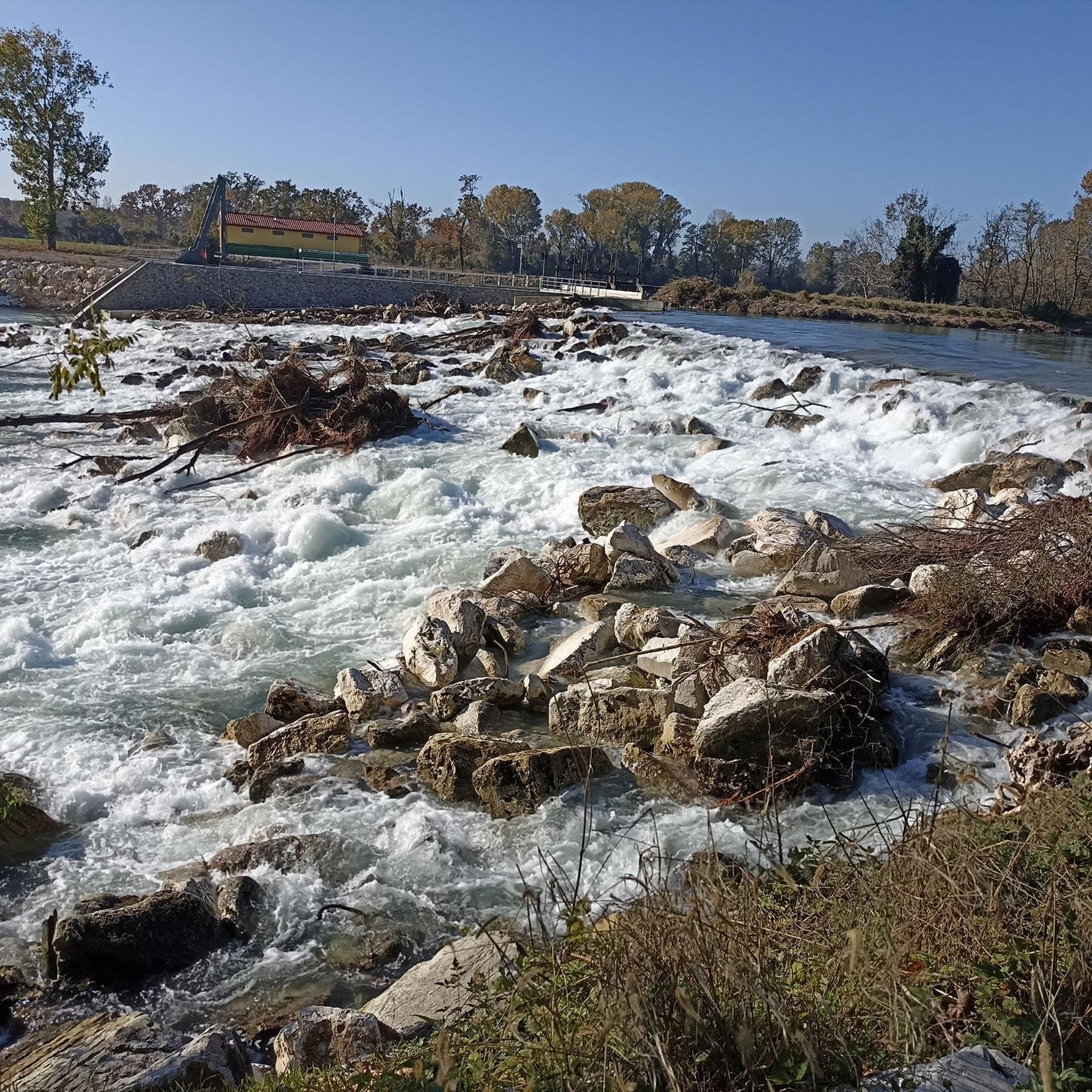
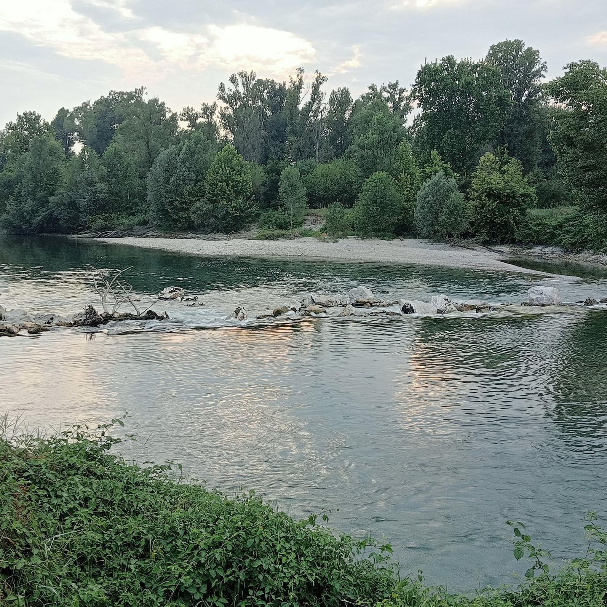
Area where it is possible to see groups of Sacred Ibis intent on walking in the shallow waters in search of food
0
0

Beautiful road in the middle of the greenery with plenty of shade, compact dirt road, suitable for all types of bikes (be careful in BDC). The road follows the route of the Roggia Vescovata, an ancient irrigation canal now buried, and continues up to the locality of "morti in campo". In the evening illuminated by street lamps.
0
0

Fairly simple route on paths, dirt and asphalt with no traffic. Great workout.
0
0

in addition to being a beautiful castle, it is the refreshment of the famous "100 km and 10 castles", where the AVIS refreshes us every year with excellent "pà e stinù" and much more
1
1
Frequently Asked Questions
How many hiking trails are available around Comezzano-Cizzago?
There are over 60 hiking routes in the Comezzano-Cizzago area, offering a wide range of options for different preferences and skill levels. The trails traverse rural landscapes, follow the Oglio River, and often pass by historical sites.
Are there easy, family-friendly hikes suitable for beginners?
Yes, the region offers many easy trails perfect for families and beginners. For example, the Sacred Ibis Observation Point loop from Rudiano is an easy 4.3-mile (6.9 km) path that allows for wildlife observation. Another gentle option is the Castello di Pumenengo loop from Pumenengo, a 3.4-mile (5.4 km) trail through rural landscapes.
Can I observe wildlife while hiking near Comezzano-Cizzago?
Yes, the Oglio River and its associated Regional Park, Parco Oglio Nord, provide opportunities for wildlife observation. The Sacred Ibis Observation Point loop from Rudiano is specifically designed for this, allowing visitors to see groups of sacred ibises foraging in shallow waters. The tranquil riverine environment also supports various other woodland creatures.
What historical landmarks or castles can I explore on a hike?
The Comezzano-Cizzago area is rich in history, with several castles and ancient villages integrated into hiking routes. You can explore sites like Barbò Castle, which is featured in the Barbò Castle – Ostello Molino di Basso loop from Pumenengo. Other nearby historical points of interest include Padernello Castle and the impressive Sforza Castle in Soncino.
Are there trails that follow the Oglio River?
Absolutely. The Oglio River is a central feature of the region's hiking landscape. Many trails, such as the Oglio River – Oglio River loop from Rudiano, closely follow its course, offering scenic views of its diverse environment, including woodlands, gravel areas, and riparian vegetation.
Are there challenging hiking trails in the Comezzano-Cizzago area?
While many routes are easy to moderate, the region does offer a few more demanding treks. There are 2 routes classified as difficult, and 33 routes are moderate, providing options for those seeking a longer or more strenuous experience, often involving greater distances along the Oglio River or through varied terrain.
What is the best time of year for hiking in Comezzano-Cizzago?
The Po Valley region, including Comezzano-Cizzago, is generally pleasant for hiking during spring and autumn. These seasons offer mild temperatures and beautiful natural colors, making for comfortable exploration of the rural landscapes and riverine environments. Summer can be warm, while winter might bring cooler, potentially damp conditions.
Are the hiking trails around Comezzano-Cizzago dog-friendly?
Most rural and natural trails in the Comezzano-Cizzago area are generally dog-friendly, especially those along the Oglio River and through cultivated fields. It's always recommended to keep dogs on a leash, especially near wildlife observation points or agricultural areas, and to carry water for them.
What do other hikers enjoy most about hiking in Comezzano-Cizzago?
The hiking routes in Comezzano-Cizzago are highly rated by the komoot community, with an average score of 4.2 stars from over 230 reviews. Hikers often praise the tranquil rural landscapes, the scenic beauty of the Oglio River, and the blend of natural exploration with visits to historical sites like castles and ancient villages.
Are there circular hiking routes available in the area?
Yes, many of the trails around Comezzano-Cizzago are designed as circular routes, allowing you to start and end at the same point. Examples include the Barbò Castle – Ostello Molino di Basso loop from Pumenengo and the Sacred Ibis Observation Point loop from Pumenengo, which offer convenient exploration without needing to retrace your steps.
Is there public transport access to hiking trails near Comezzano-Cizzago?
While Comezzano-Cizzago is a rural area, some nearby towns like Rudiano and Pumenengo, which serve as starting points for several trails, may have local bus services. For specific routes, it's advisable to check local public transport schedules to plan your access to trailheads, as direct public transport to every starting point might be limited.
Where can I find parking for hiking trails in Comezzano-Cizzago?
Given the rural nature of the area, parking is generally available in or near the villages that serve as trailheads, such as Pumenengo or Rudiano. Look for designated parking areas in these towns, or inquire locally about suitable spots, especially when starting a longer loop trail.
Most popular routes around Comezzano-Cizzago
Most popular attractions around Comezzano-Cizzago

Get inspired with the komoot mobile app


Explore more
Browse the best Hikes in other regions.
