The best road cycling routes around Forcola
4.7
(141)
5,596
riders
58
rides
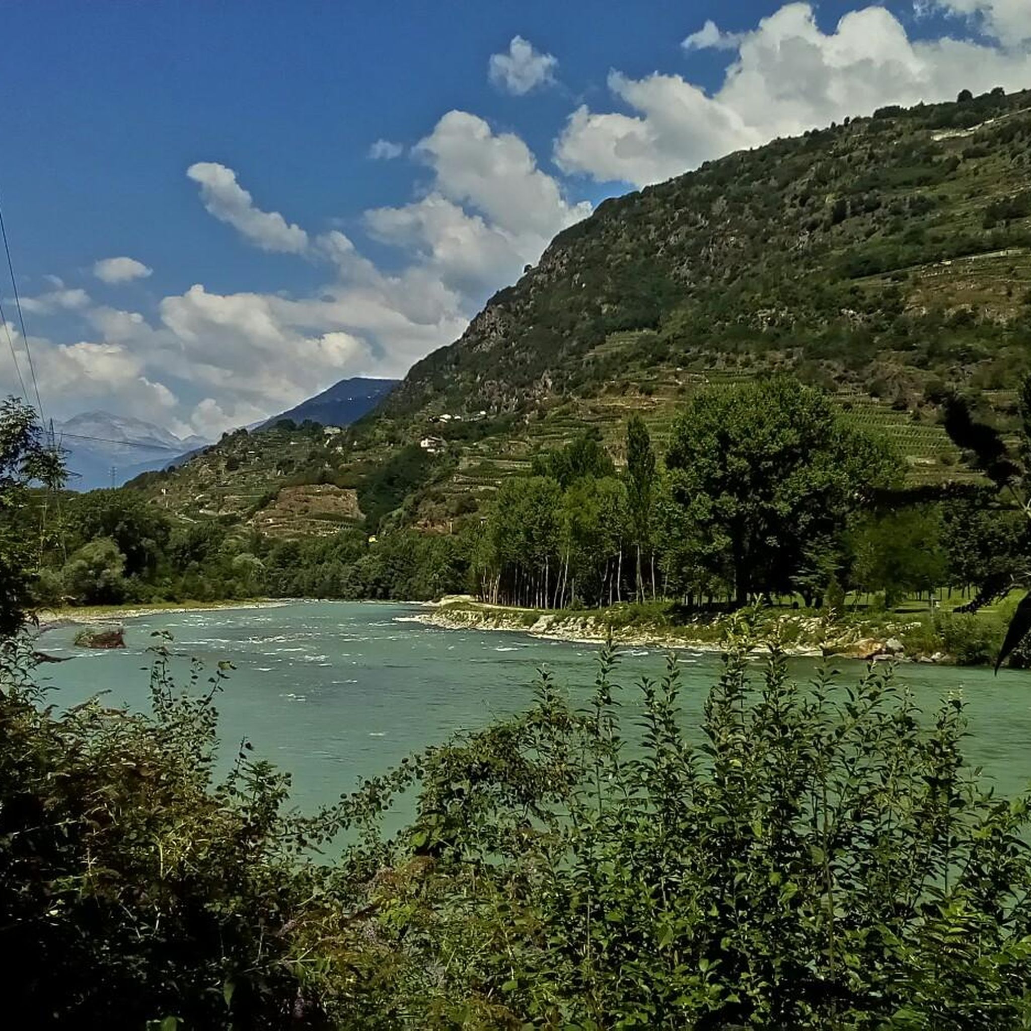
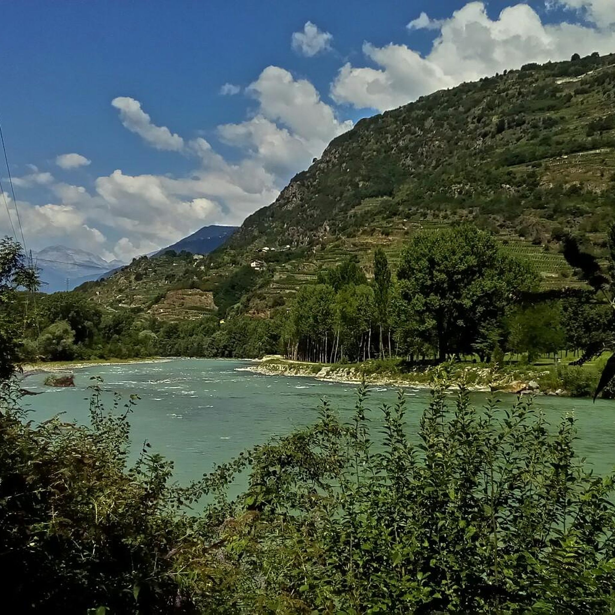
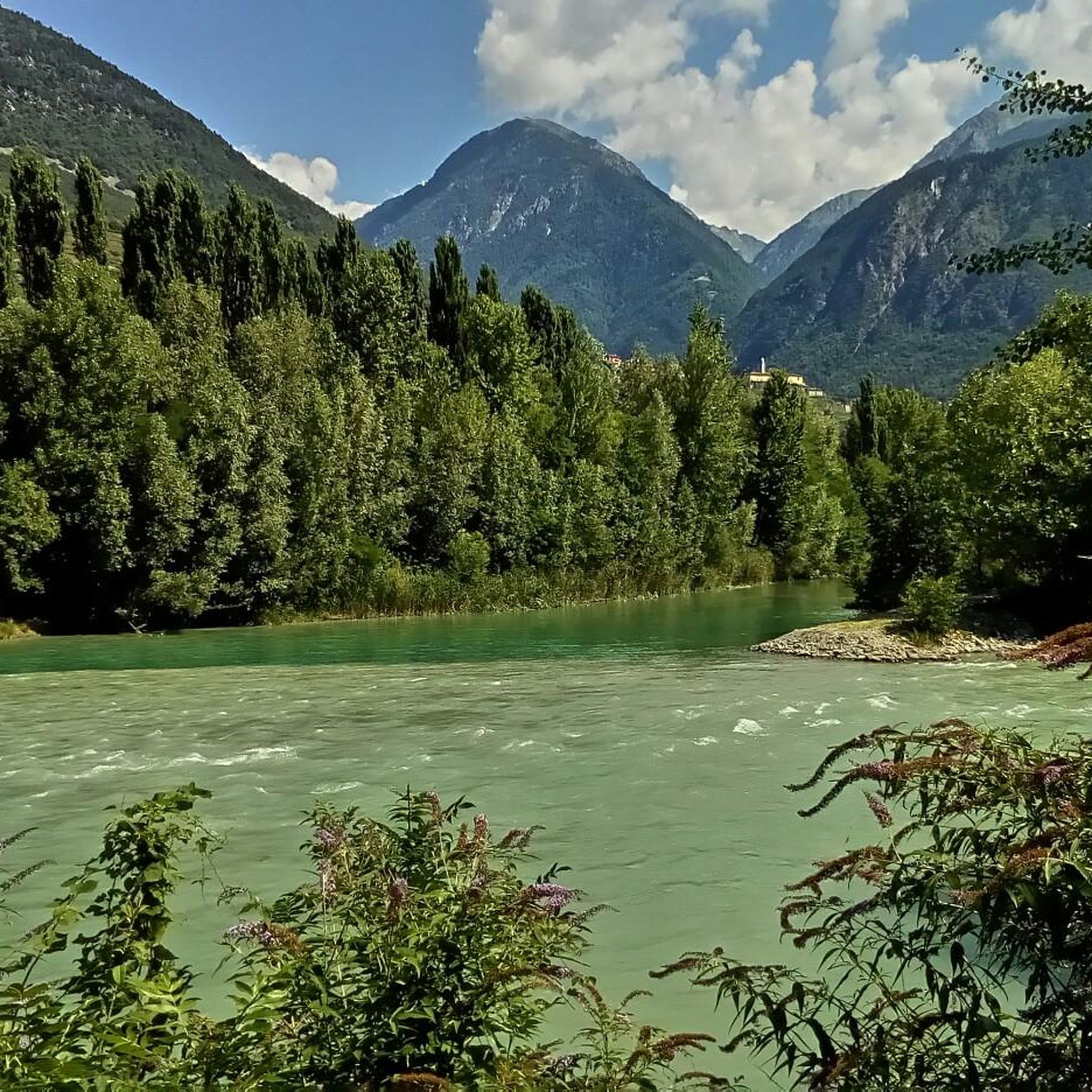
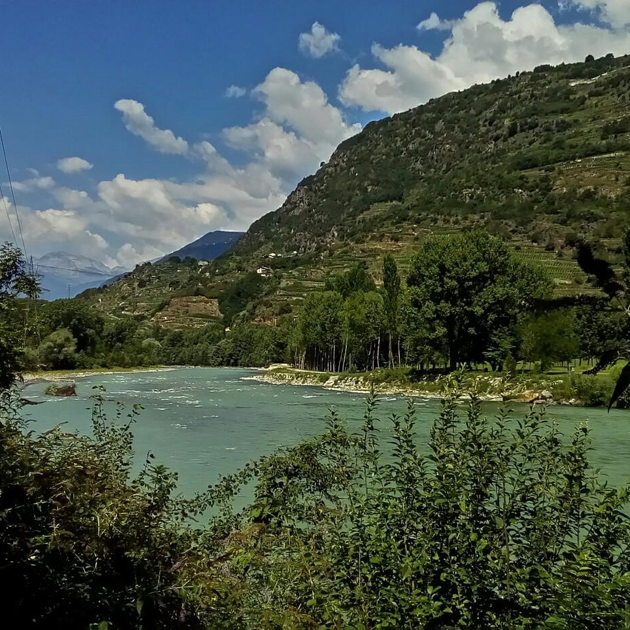
Road cycling routes around Forcola are situated in a region characterized by the Adda River valley and surrounding alpine foothills. The landscape features a mix of valley floors, offering flatter sections, and ascents into higher terrain, including routes that approach mountain passes. This area provides varied gradients for road cyclists, from gentle valley paths to more demanding climbs. The terrain includes views of lakes and river systems, alongside forested areas and open mountain scenery.
Best road cycling routes around Forcola
…Last updated: October 10, 2026
5.0
(2)
135
riders
44.7km
02:48
1,270m
1,270m
Hard road ride. Very good fitness required. Mostly well-paved surfaces and easy to ride.
76
riders
197km
09:45
2,690m
2,690m
Hard road ride. Very good fitness required. Some segments of this route may be unpaved and difficult to ride.

5.0
(1)
166
riders
44.9km
02:01
390m
390m
Moderate road ride. Good fitness required. Some segments of this route may be unpaved and difficult to ride.
5.0
(1)
57
riders
29.5km
01:33
420m
420m
Moderate road ride. Good fitness required. Mostly well-paved surfaces and easy to ride.
44
riders
52.3km
02:48
940m
940m
Hard road ride. Very good fitness required. Mostly well-paved surfaces and easy to ride.
Get access to more routes and recommendations from other explorers.
Already have an account?
Our route recommendations are based on thousands of hikes, rides, and runs completed by other people on komoot.
Start today with a free account
Your next adventure awaits.

Tips from the Community

Morteratsch glacier reached its greatest extent in 1857 AD (after the Little Ice Age 13th/14th century - 19th century) up to 100m from the RhB stop, since then a constant retreat. However, as a tree find from 2018 (C4 + Dendrochronology) of a 10400 year old larch shows, that the glacier after the last ice age, (Pleistocene 20000-14000) at the beginning of the Holocene approx. 10000 years ago, the glacier retreated even further than today. Minimum was around 7000 years ago. Then the glacier grew again until max. 1857. The beginning of measurements was from 1915, since then it has continuously retreated. (around 20000 years ago it had connection to the Bernina and Inn glaciers, around 14000 years ago it reached Pontresina and in 1857 almost to the Rhb Morteratsch stop.
0
0

Both from the Morteratsch valley and from Montebello, you can enjoy a magnificent view of glaciers and the Bernina massif.
0
0

Morteratsch Glacier Trail 16 information points provide insights into the glacier's retreat and the mysterious life in its foreland. Where else can you admire, touch, and even walk on eternal ice after such a short hike? Just under 50 minutes from Morteratsch train station, you'll reach your destination: the milky glacial lake and the gigantic ice tongue. A literary treat awaits you on the LiteraTOUR. The captivating audio texts can be accessed individually via QR code at the 16 information points along the Morteratsch Glacier Trail. The stories include anecdotes, poems, and tour reports from various eras. Text / Source: Engadin Tourism AG, Via Maistra 1, 7500 St. Moritz https://www.engadin.ch/de/aktivitaeten/gletscherweg-morteratsch/
14
0
Morteratsch Glacier The Morteratsch Glacier is a historically significant glacier that has been systematically monitored since 1878. Over the last 150 years, the glacier has retreated by almost three kilometers, and its ice volume has decreased by two-thirds. The Bernina Railway, which began operating in 1908, was then located just a stone's throw from the glacier's terminus. Since then, the glacier has retreated considerably, and the movement of its surroundings is no longer visible. Text / Source: wikipedia.org https://de.wikipedia.org/wiki/Morteratschgletscher
14
0

The bridge contains cobblestones and is quite steep, so enjoy the challenge!
0
0


Beautiful typical mountain village, with very well-kept houses and buildings
0
0
Very suggestive passage, which also allows you to catch your breath a bit.
0
0
Frequently Asked Questions
How many road cycling routes are available around Forcola?
There are over 50 road cycling routes documented around Forcola on komoot, offering a wide range of options for different skill levels and preferences.
Are there any easy road cycling routes suitable for beginners in Forcola?
Yes, Forcola offers several easier routes. There are 6 routes classified as 'easy', often found in the valley floors, providing gentler gradients. One such option is the Ponte di Ganda – Valtellina Cycle Path loop from Ardenno-Masino, which is a moderate route with less elevation gain.
What are the most challenging road cycling climbs in the Forcola area?
Forcola is known for its demanding alpine ascents. Routes like the Lake Mezzola – Bernina Pass loop from San Pietro Berbenno feature significant elevation gains, including a challenging climb towards Bernina Pass. Another difficult option is the Gerola Alta – Pescegallo Lake loop from Talamona, which includes a substantial climb around Pescegallo Lake.
Are there road cycling routes around Forcola that are approximately 50km long?
Yes, many routes in the Forcola region fall within or close to the 50km range, offering a good balance for a half-day ride. For example, the Gerola Alta – Pescegallo Lake loop from Talamona is 44.7 km, and the Via Inferno Climb – Valtellina Cycle Path loop from San Pietro Berbenno is 43.3 km.
What is the best time of year for road cycling in Forcola?
Given the region's mix of valley floors and alpine foothills, the best time for road cycling is typically from late spring through early autumn (May to October). During these months, weather conditions are generally more favorable, and higher mountain passes are usually clear of snow.
Are there scenic viewpoints or places to stop along the road cycling routes?
Absolutely. Many routes offer stunning views of the Adda River valley, surrounding alpine scenery, and lakes. You can find highlights like Lago Moro or the Mello Stream, which provide beautiful natural stops. The Ponte di Ganda – Valtellina Trail loop from Ardenno-Masino also offers picturesque sections.
What kind of natural attractions can I see along the road cycling routes in Forcola?
The Forcola area is rich in natural beauty. Cyclists can encounter features like the Mello Stream, Qualido Pond, and Lago Moro. The Val di Mello Nature Reserve is also a notable natural monument nearby.
Are there any mountain peaks or passes accessible by road bike in the Forcola region?
Yes, the region offers access to several mountain passes and peaks. The Lake Mezzola – Bernina Pass loop from San Pietro Berbenno includes a challenging ascent towards Bernina Pass. Other notable points in the vicinity include Tartano Pass and Mount Cadelle.
What do other road cyclists enjoy most about road cycling in Forcola?
The area is highly rated by the komoot community, with an average score of 4.5 stars from over 80 reviews. Reviewers often praise the varied terrain, from gentle valley paths to challenging mountain ascents, and the beautiful views of lakes and river systems.
Are there many loop routes available for road cycling in Forcola?
Yes, many of the road cycling routes around Forcola are designed as loops, allowing you to start and finish at the same point. Examples include the Gerola Alta – Pescegallo Lake loop from Talamona and the Ponte di Ganda – Valtellina Cycle Path loop from Ardenno-Masino.
Is Forcola suitable for road cyclists looking for moderate difficulty routes?
Forcola is an excellent choice for moderate road cycling. The majority of routes, 31 out of 52, are classified as 'moderate', offering a good balance of distance and elevation without being overly strenuous. These routes often combine valley sections with some climbs into the foothills.
Most popular routes around Forcola
Most popular attractions around Forcola

Get inspired with the komoot mobile app


Explore more
Browse the best Road cycling routes in other regions.
