The best walks and hikes around Marmentino
4.3
(1481)
8,106
hikers
17
hikes
Hiking around Marmentino, located in the province of Brescia, Lombardy, offers diverse landscapes characterized by significant natural features and an extensive trail network. The region features prominent peaks like Monte Ario and Monte Guglielmo, providing panoramic views of Alta Val Trompia and Lake Iseo. Val Delle Melle contributes to the area's natural charm with its streams, woodlands, and historical elements. The varied vegetation, including extensive woods and riparian trees, defines the rural landscape and supports a rich biodiversity.
Best hiking…
Last updated: November 6, 2026
4.5
(28)
102
hikers
11.2km
04:11
590m
590m
7
hikers
16.7km
06:11
980m
980m

4.4
(21)
122
hikers
10.1km
04:14
640m
640m
Moderate hike. Good fitness required. Mostly walkable paths. Sure-footedness required.
4.7
(14)
76
hikers
8.44km
03:03
420m
420m
Moderate hike. Good fitness required. Mostly walkable paths. Sure-footedness required.
4.7
(6)
18
hikers
Hard hike. Very good fitness required. Mostly walkable paths. Sure-footedness required.
Get access to more routes and recommendations from other explorers.
Already have an account?
Our route recommendations are based on thousands of hikes, rides, and runs completed by other people on komoot.
Start today with a free account
Your next adventure awaits.
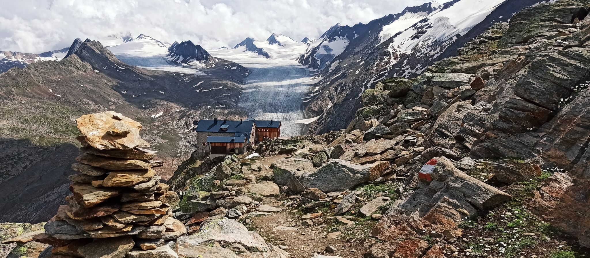
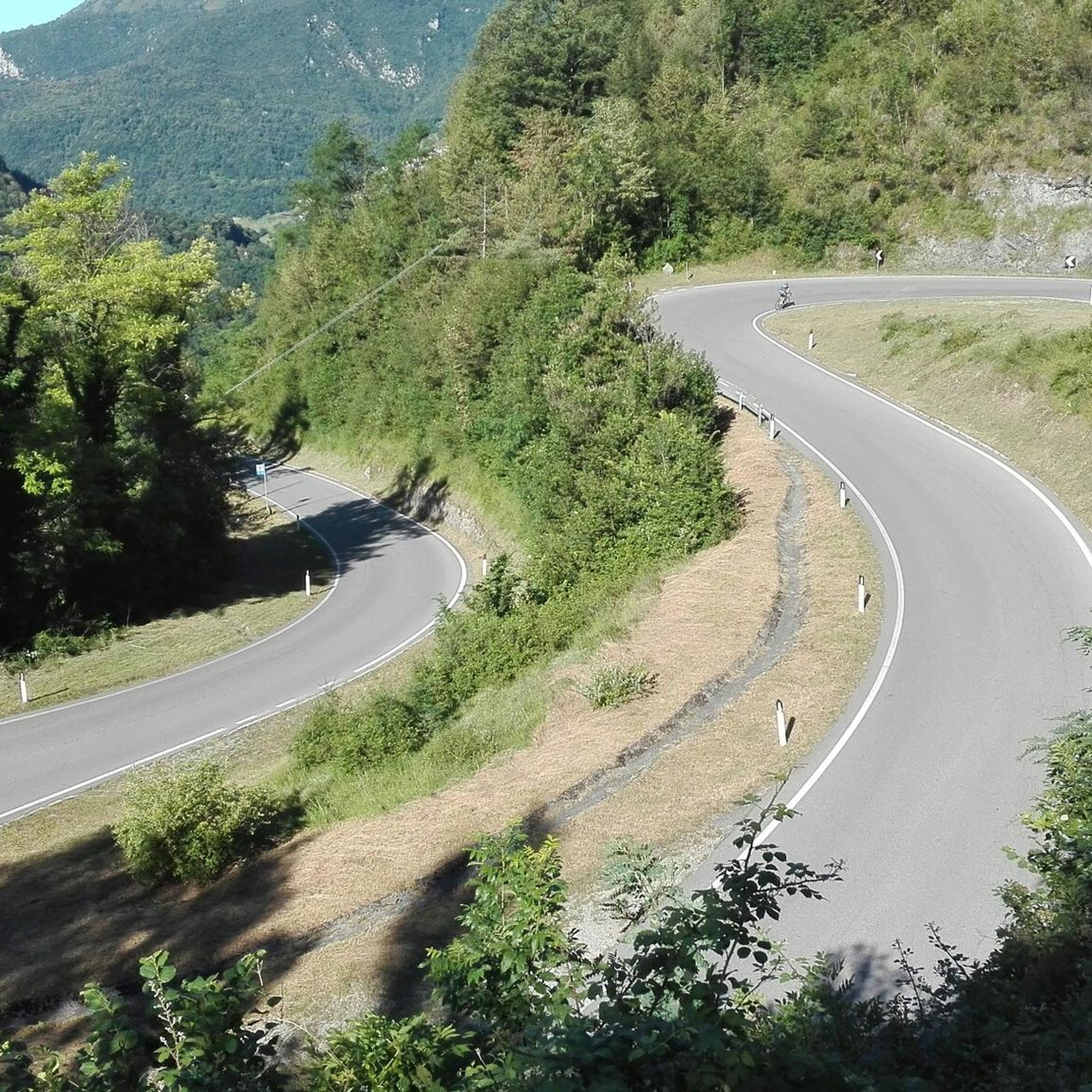
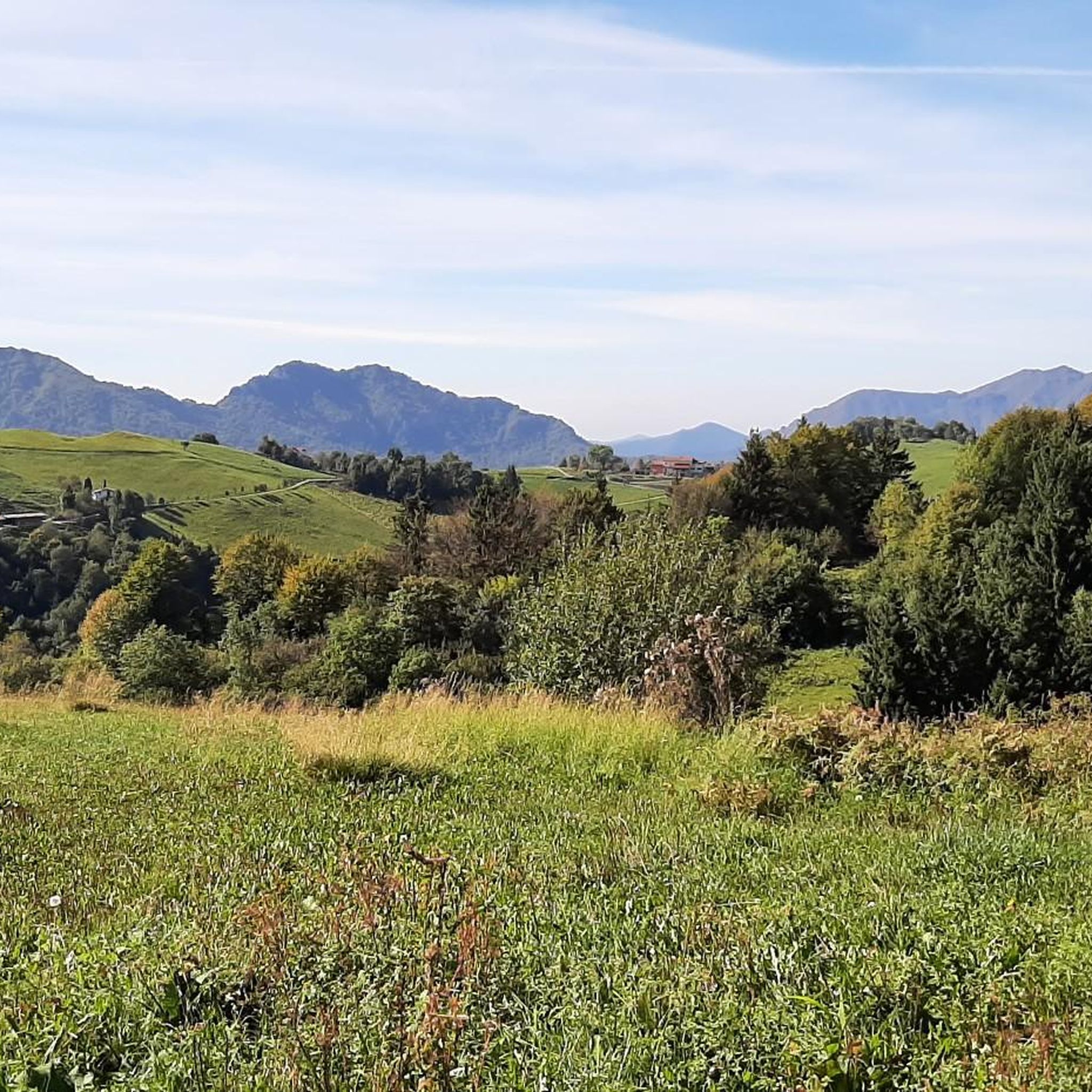
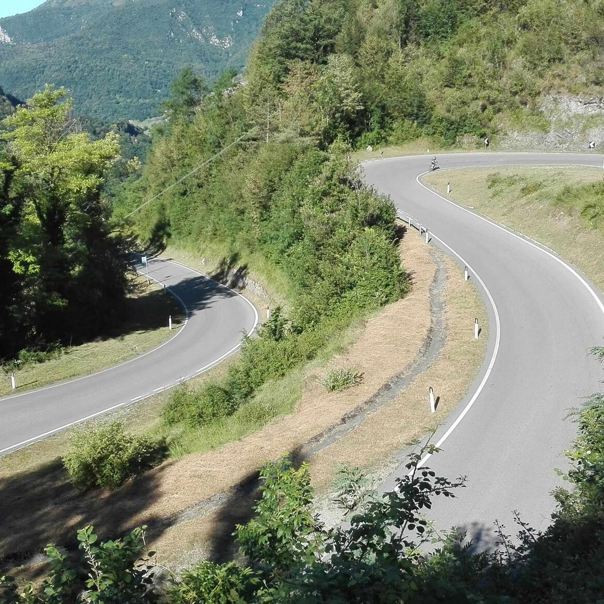


Other adventures around Marmentino

Tips from the Community

On clear days, Lake Garda can also be seen
0
0
After climbing the stairs, you are faced with "a wall" but it's just one section, the last section is then a gentle slope.
0
0

360° panorama of the Brescia Prealps 👍👍
0
0


Despite the not very high altitude, 1,775 meters, Monte Ario offers you a splendid panorama at the top. You can see the small villages of Valle Trompia, up to raise your gaze to the wide saddle of Passo della Maniva. Just further to the right is Dosso Alto, partially covered by the closer Monte Pezzeda. To the east you have the rocky peaks of Corna Blacca, then the view expands until you reach the distant crest of Monte Baldo. Further south is Lake Garda (Sirmione area). Finally, moving south-west, the grandeur of Monte Guglielmo takes center stage.
2
0

Mount Ario offers a magnificent 360 degree view, you will be delighted.
3
0
a stupendous panorama that offers a magnificent view of the valley, an uncontaminated place where you are completely immersed in the green.
2
1
Frequently Asked Questions
How many hiking trails are available in Marmentino?
Marmentino offers a network of over 15 hiking routes, catering to various skill levels. These include moderate walks through woodlands and more challenging ascents to prominent peaks like Monte Ario and Monte Guglielmo.
Are there any family-friendly hiking options in Marmentino?
Yes, for families looking for easier walks, the Val Delle Melle is an excellent choice. It features an almost flat profile, making it suitable for leisurely strolls. The historic Molino di Marmentino, located at the start of many paths, also offers a welcoming house-restaurant with a barbecue area and fresh mountain water, perfect for a family outing. You can find more information about the Val Delle Melle path on the Visit Valle Trompia website.
What kind of views can I expect on the hiking trails around Marmentino?
Hikers can enjoy spectacular panoramic views throughout the region. From the summit of Monte Ario, you'll see Alta Val Trompia and its surrounding peaks. Monte Guglielmo, a quintessential Brescia landmark, offers a breathtaking 360-degree vista stretching from the plain to Lake Iseo and the imposing Orobie Alps, with Monte Rosa visible on clear days. Many trails lead to similar scenic viewpoints.
Are there any circular walks available in Marmentino?
Yes, Marmentino features several circular routes. One popular option is the Trail in the Woods – Picnic Table at Pian del Bene loop from Marmentino, which takes you through extensive woodlands. Another is the challenging Monte Ario – Monte Ario Summit loop from Marmentino, leading to the peak of Monte Ario.
What are some interesting natural or historical landmarks to see along the trails?
Marmentino's trails offer a blend of natural beauty and historical elements. In Val Delle Melle, you can find remains of a 16th-century irrigation channel, coal bunkers, and limestone kilns. On Monte Guglielmo, you'll encounter the impressive Monument to the Redeemer. The area is also part of the Ecomuseum of Valle Trompia, preserving naturalistic-cultural paths.
What is the best time of year to go hiking in Marmentino?
Marmentino is generally accessible for hiking during all seasons, with Monte Guglielmo being a popular destination year-round. However, for the most pleasant conditions and to fully enjoy the diverse botanical varieties and panoramic views, spring, summer, and early autumn are ideal. These seasons offer comfortable temperatures and clear skies, perfect for exploring the higher peaks and enjoying starry nights from refuges like Medelet Hut.
Are there any places to eat or find refreshments along the hiking routes?
Yes, the historic Molino di Marmentino serves as a welcoming house-restaurant, offering local food and wine. Additionally, the area has several refuges that provide assistance and refreshments for hikers. For instance, the Medelet Hut offers a tranquil spot, and the Dosso Rotondo refuge provides traditional mountain cuisine.
What are the difficulty levels of hikes in Marmentino?
The hiking trails in Marmentino range from moderate to difficult. While there are no routes classified as 'easy' in our data, the region offers options for various ability levels, including moderate walks through woodlands and more demanding ascents to peaks like Monte Ario. For example, the 3V Trail - Stage 3 is a moderate route, while the Sentiero 3V stage from Lodrino through Valle Trompia is considered difficult.
Where can I find parking for hiking trails in Marmentino?
Parking is generally available at common starting points for trails. The Molino di Marmentino is a known starting point for many paths and likely offers parking facilities. For specific trailheads like those leading to Monte Ario, it's advisable to check local signage or resources for designated parking areas.
What do other hikers say about the trails in Marmentino?
The hiking routes in Marmentino are highly regarded by the komoot community, with an average rating of 4.4 stars from over 1200 reviews. Hikers often praise the diverse landscapes, the challenging yet rewarding ascents to peaks like Monte Ario, and the extensive woodlands that offer a rich natural experience.
Are there any huts or refuges available for hikers in the Marmentino area?
Yes, the Marmentino area provides several huts and refuges for hikers. Notable options include the Bivacco Malga Croce near Monte Ario, which serves as an assistance point, and the Medelet Hut, nestled among beech and fir trees. The Dosso Rotondo refuge in Adamello Natural Park also offers stunning views and traditional mountain cuisine. You can find more details in our guide to Huts and Cabins around Marmentino.
Can I reach Marmentino hiking trails using public transport?
While the region is well-suited for outdoor activities, specific public transport connections directly to all trailheads might be limited. Marmentino is located in the province of Brescia, Lombardy. It's recommended to check local bus schedules or regional transport options to Marmentino village, and then plan for local connections or walking to the desired trailhead.
Most popular routes around Marmentino
Most popular attractions around Marmentino

Get inspired with the komoot mobile app


Explore more
Browse the best Hikes in other regions.
