The best cycling routes around Sandl
4.7
(27)
180
riders
17
rides
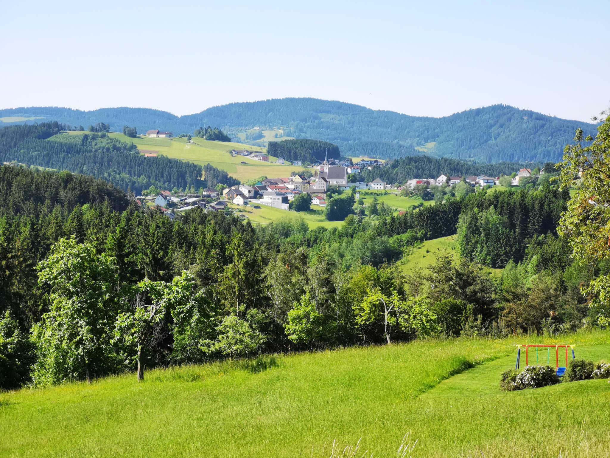
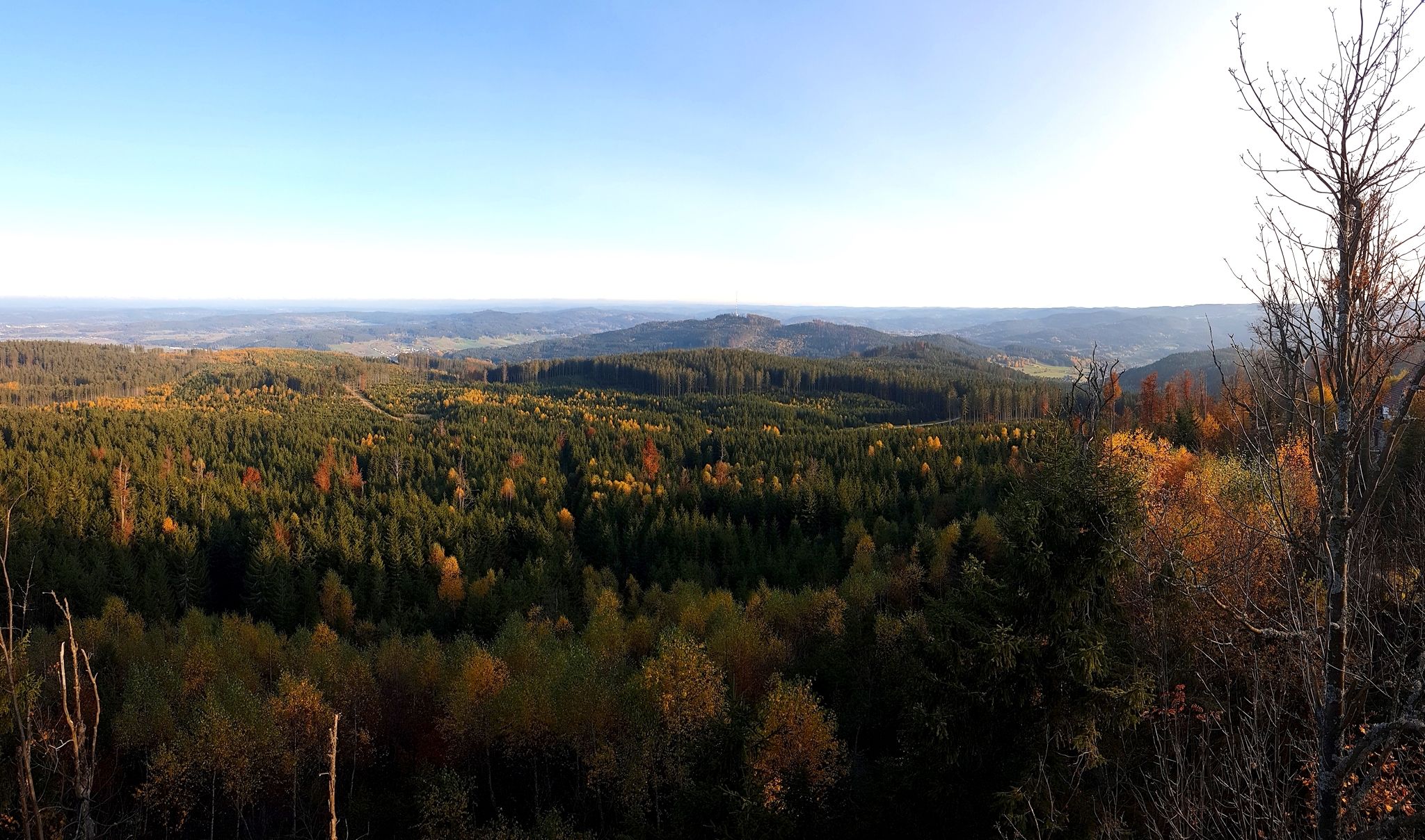
Touring cycling routes around Sandl are situated in the Mühlviertel region of Upper Austria, characterized by a hilly landscape. The area features a green mosaic of forests, meadows, and hamlets, providing varied terrain for cyclists. Granite formations are present along many trails, and routes often follow streams through lush mixed forests. The undulating nature of the region also offers numerous vantage points with panoramic views.
Best touring cycling routes around Sandl
- The most popular touring cycling route is Viehberghütte –…
Last updated: November 6, 2026
4.4
(10)
36
riders
21.2km
01:33
400m
400m
Moderate bike ride. Good fitness required. Mostly paved surfaces.
5.0
(2)
46
riders
27.9km
02:23
540m
550m
Hard bike ride. Very good fitness required. You may need to push your bike for some segments of this route.

4.7
(3)
19
riders
18.3km
01:15
310m
310m
Moderate bike ride. Good fitness required. Mostly paved surfaces.
4.3
(3)
10
riders
18.7km
01:16
270m
270m
Moderate bike ride. Good fitness required. Mostly paved surfaces.
8
riders
39.8km
02:40
630m
630m
Hard bike ride. Very good fitness required. Mostly paved surfaces.
Get access to more routes and recommendations from other explorers.
Already have an account?
Our route recommendations are based on thousands of hikes, rides, and runs completed by other people on komoot.
Start today with a free account
Your next adventure awaits.


Tips from the Community

A very beautiful medieval town square. Highlights include Heini Staudinger's GEA store and the Lubinger pastry shop.
0
0

Nice museum with a small café (weekends only and cash), toilets and water
0
0


You should definitely check it out if you're here!
0
0

The horseshoe and wagon smithy was in operation for over 400 years (1523 - 1923). The bellows are still functional.
1
0

The medieval brewing town of Freistadt impresses with the charm of small alleys, bay windows and courtyards paired with the urban advantages of a district capital.
1
0
The listed Linzertor is a medieval city gate in Freistadt, Upper Austria. The name comes from the next larger city to the south - Linz. With its 28 m height, the Linzertor is one of the most powerful gate towers in Central Europe and is considered the city's landmark. The Linzertor has been adapted several times over the years to suit the current architectural style.
2
0
Frequently Asked Questions
How many touring cycling routes are available around Sandl?
There are over 20 touring cycling routes around Sandl, offering a diverse range of experiences. These routes are part of an extensive cycling network in the Mühlviertel region, catering to various preferences and fitness levels.
What kind of terrain can I expect on touring cycling routes in Sandl?
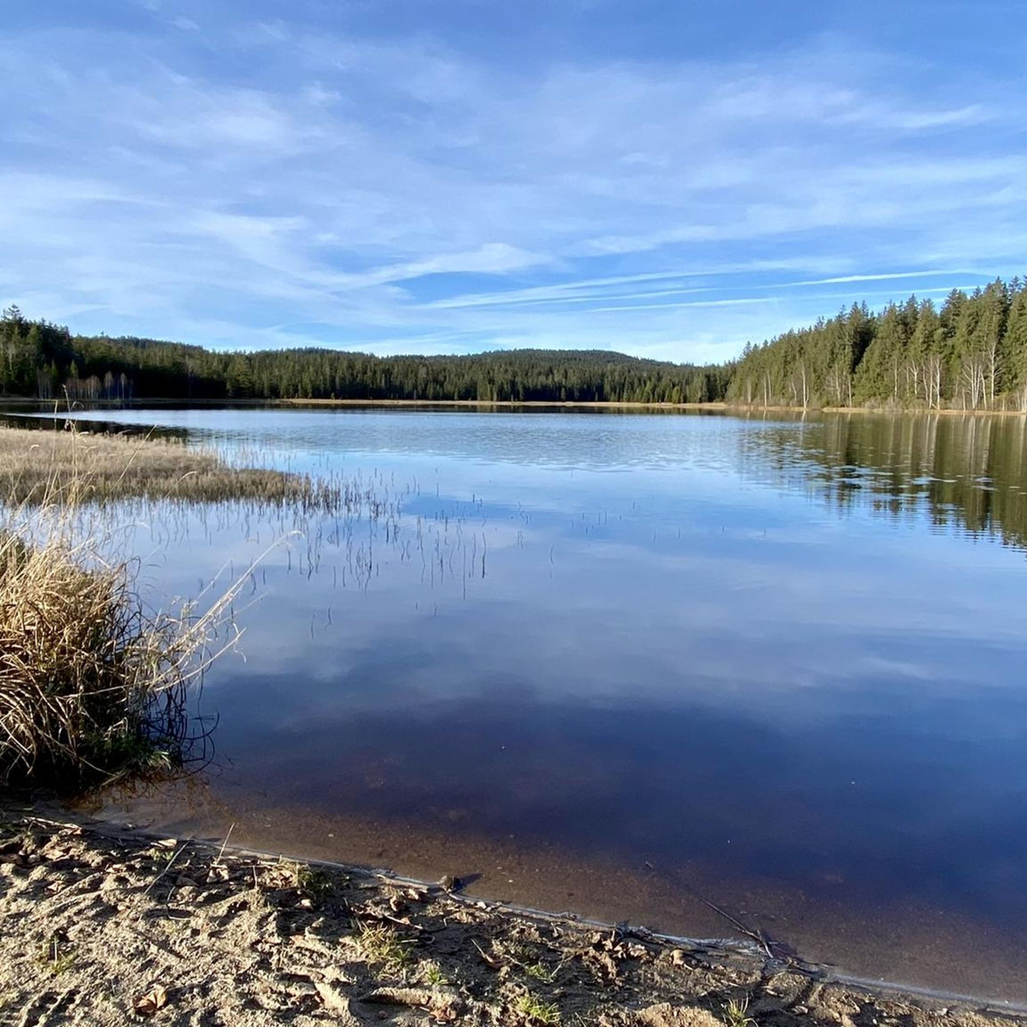
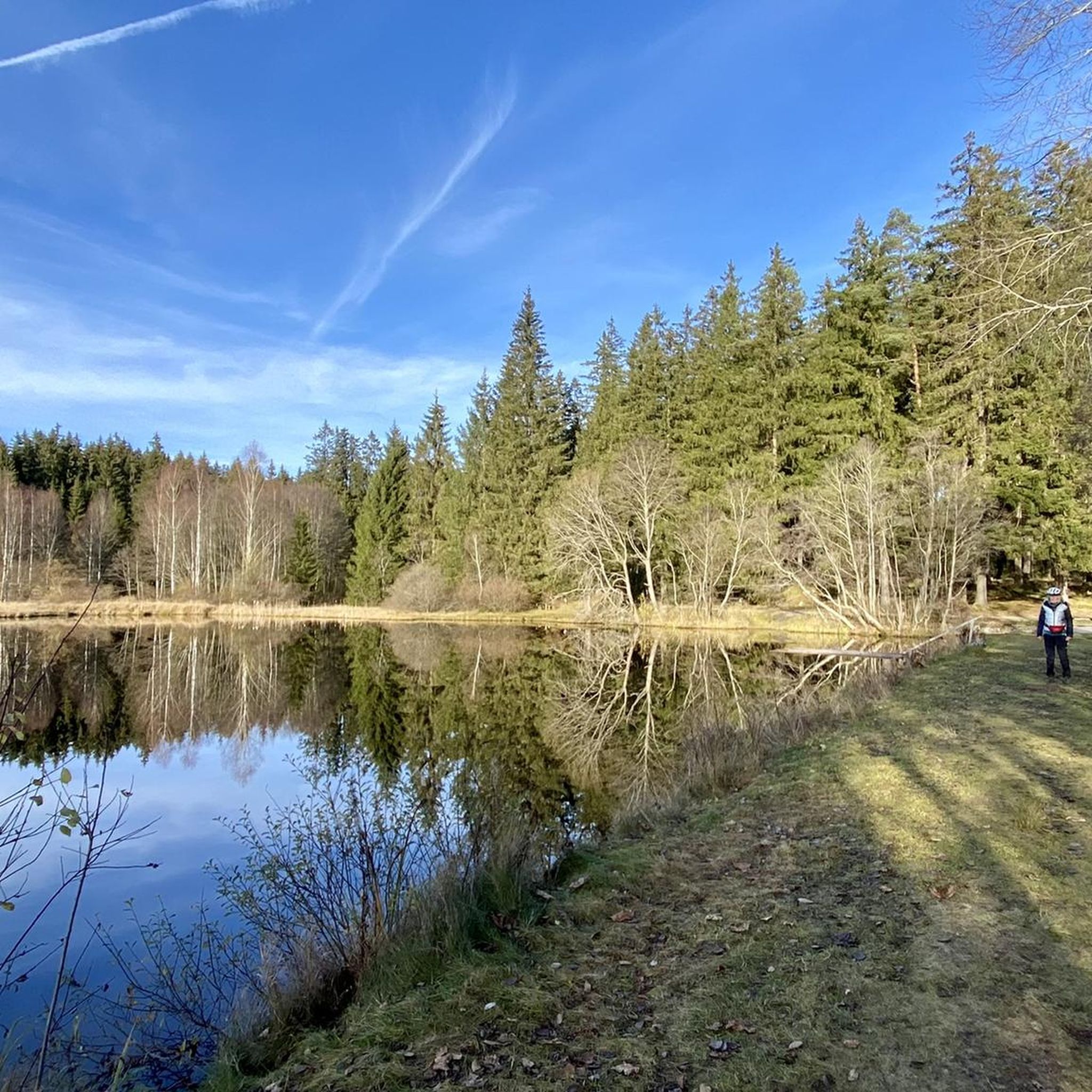
The touring cycling routes in Sandl are characterized by a 'hilly idyll,' featuring undulating landscapes with a green mosaic of forests, meadows, and hamlets. You'll encounter impressive granite formations, ride alongside streams through lush mixed forests, and enjoy numerous vantage points with panoramic views.
Are there routes suitable for different fitness levels?
Yes, the cycling routes in Sandl cater to various fitness levels. While the region is known for its hilly terrain, there are options ranging from moderate paths to more difficult routes with significant elevation gains and sometimes unpaved segments. For example, the Viehberghütte – Sandl Ski Lift loop from Sandl is a moderate route, while the Alte Marktschmiede – Linzertor Freistadt loop from Sandl is considered difficult.
What natural features or landmarks can I see along the touring cycling routes in Sandl?
The routes often pass through scenic natural areas and near interesting landmarks. You might encounter impressive granite formations, lush mixed forests, and streams. Notable highlights in the area include the Hoh-Haus at Buchberg Observation Tower, the Herzogreitherfelsen, and the Feldaist Stream in the Thury Valley.
Are there any particularly challenging touring cycling routes in the Sandl area?
Yes, for experienced touring cyclists seeking a challenge, routes like the Alte Marktschmiede – Linzertor Freistadt loop from Sandl offer a difficult 28.3-mile (45.5 km) path with significant elevation changes through varied terrain. Another challenging option is the Viehberg Summit (1,112 m) – Viehberghütte loop from Sandl, which leads through hilly terrain to the summit.
Are there family-friendly touring cycling routes in Sandl?
While Sandl's terrain is generally hilly, there are routes that can be enjoyed by families, particularly those with some cycling experience. Look for routes described as 'moderate' or those that stick to lower elevation gains. The region's network includes paths that follow low-traffic side roads and dedicated bike paths, which can be more suitable for family outings.
Can I find circular touring cycling routes around Sandl?
Yes, many of the touring cycling routes around Sandl are designed as circular loops, allowing you to start and end at the same point. Examples include the Viehberghütte – Sandl Ski Lift loop from Sandl and the Bike loop from Sandl.
What do other touring cyclists enjoy the most about touring cycling in Sandl?
The area is highly rated by the komoot community, with an average score of 4.9 stars from over 20 reviews. Reviewers often praise the varied terrain, the scenic beauty of the green mosaic of forests and meadows, and the impressive vantage points offering panoramic views. The combination of challenging climbs and tranquil passages through lush mixed forests is frequently highlighted.
Are there places to eat or stay near the cycling routes in Sandl?
Yes, the Mühlviertel region, including Sandl, offers local hospitality beyond the trails. You can find traditional breweries and cozy inns, as well as local businesses offering culinary specialties, providing opportunities to refuel and relax after your ride. While specific establishments are not listed here, the area is well-equipped for cycling tourism.
What is the best time of year for touring cycling in Sandl?
The best time for touring cycling in Sandl is typically during the warmer months, from spring through early autumn, when the weather is mild and the landscapes are lush. This allows for comfortable riding conditions and the full enjoyment of the region's natural beauty. Always check local weather conditions before heading out.
Are there any viewpoints along the touring cycling routes in Sandl?
Absolutely. The hilly nature of the Mühlviertel region means that many routes offer impressive vantage points. For example, the Viehberg Summit (1,112 m) – Viehberghütte loop from Sandl provides excellent views from the summit. Other notable viewpoints include the Hoh-Haus at Buchberg Observation Tower and the Herzogreitherfelsen.
Most popular routes around Sandl
Most popular attractions around Sandl

Get inspired with the komoot mobile app


Explore more
Browse the best Cycling routes in other regions.
