The best running trails around Olgiate Comasco
3.5
(2)
194
runners
22
runs
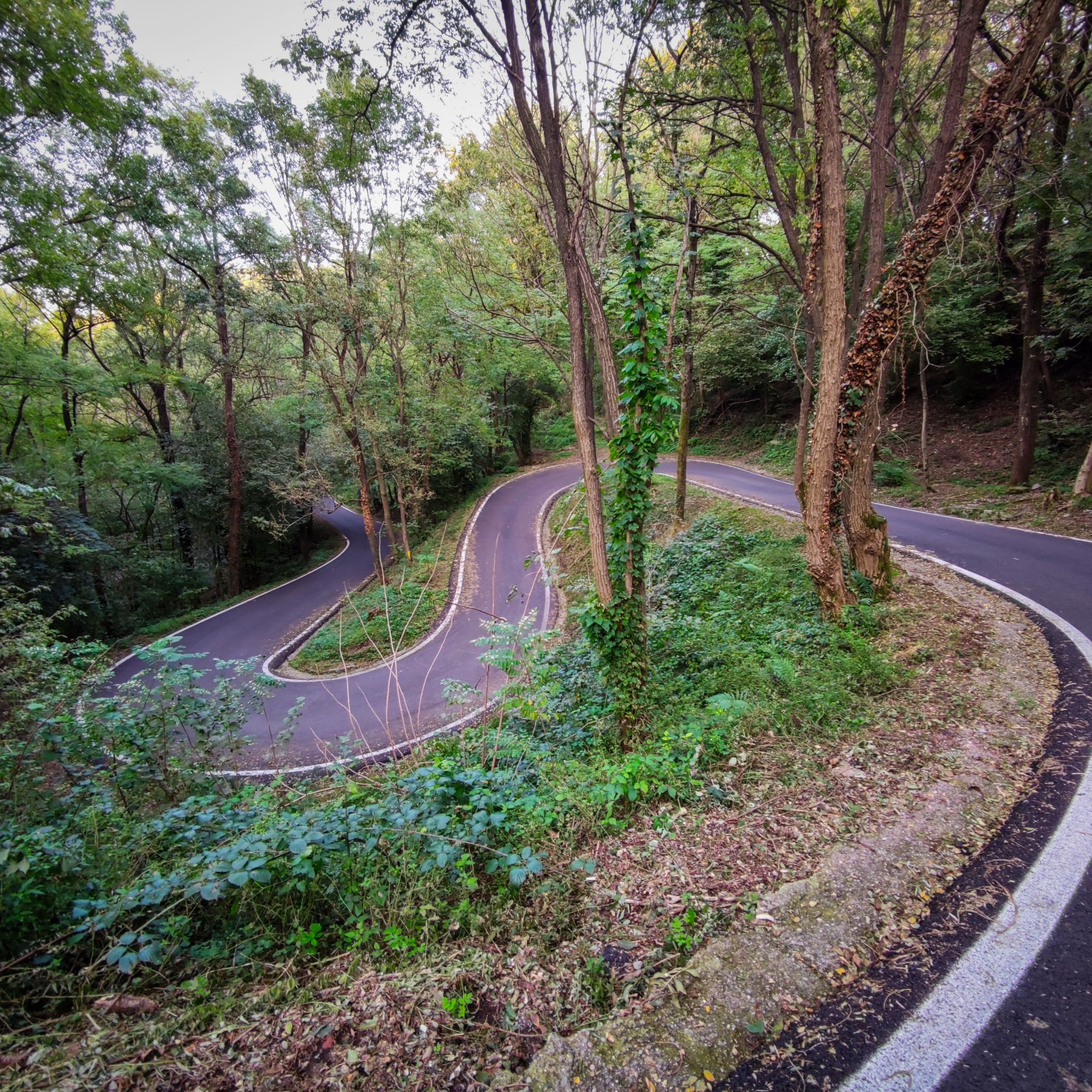
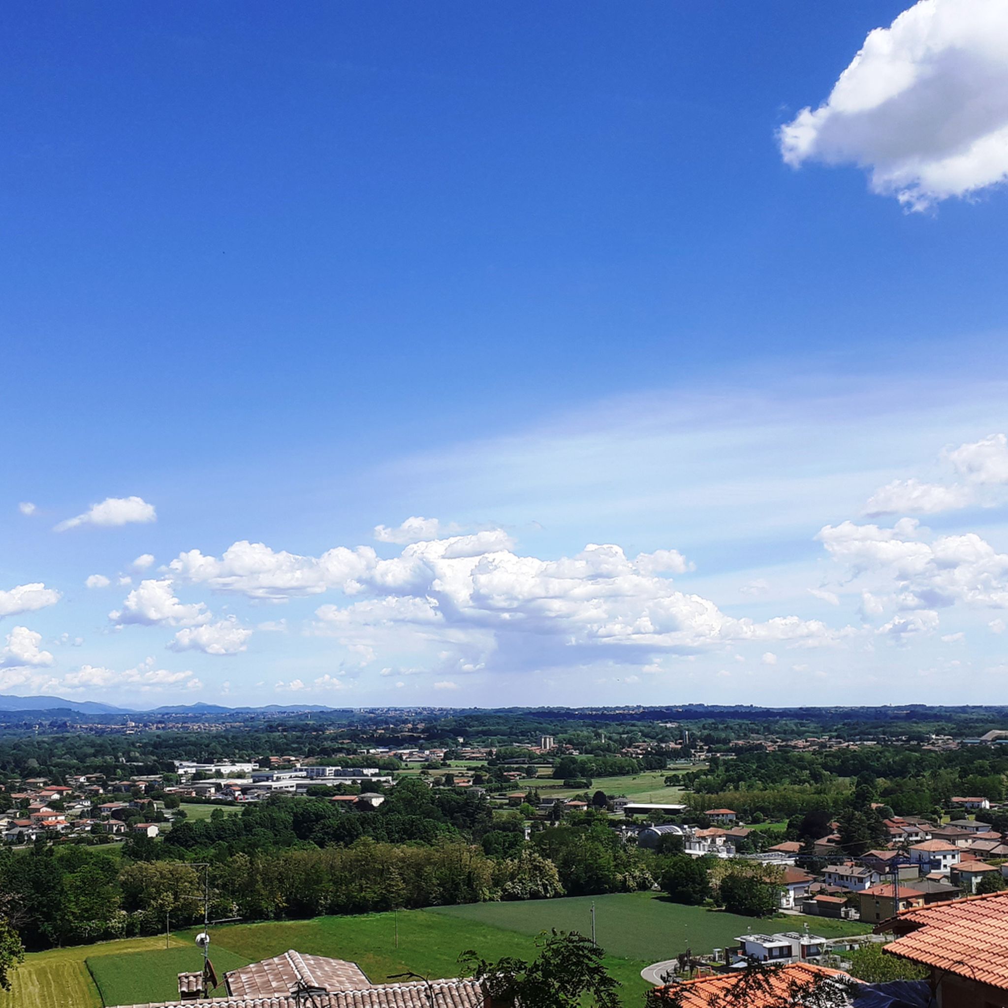
Jogging around Olgiate Comasco offers diverse landscapes for runners, situated amidst morainic hills and verdant surroundings. The region is characterized by its natural features, including the Lura River, which provides riparian paths. Trails feature both paved and unpaved surfaces, catering to various preferences and fitness levels. This area provides a naturally appealing backdrop for physical activity, with routes ranging from short, easy loops to longer, more challenging runs.
Best jogging routes around Olgiate Comasco
- The most popular jogging route is…
Last updated: September 30, 2026
2.0
(1)
59
runners
19.1km
02:07
240m
240m
Hard run. Very good fitness required. Mostly paved surfaces. Suitable for all skill levels.
5.0
(1)
16
runners
10.2km
01:06
120m
120m
Moderate run. Good fitness required. Mostly paved surfaces. Suitable for all skill levels.

13
runners
26.1km
03:16
650m
650m
Hard run. Very good fitness required. Sure-footedness, sturdy shoes and alpine experience required.
13
runners
6.90km
00:43
30m
40m
Moderate run. Good fitness required. Mostly paved surfaces. Suitable for all skill levels.
9
runners
8.43km
00:54
80m
80m
Moderate run. Good fitness required. Mostly paved surfaces. Suitable for all skill levels.
Get access to more routes and recommendations from other explorers.
Already have an account?
Our route recommendations are based on thousands of hikes, rides, and runs completed by other people on komoot.
Start today with a free account
Your next adventure awaits.
Tips from the Community

The bridge is not there. Or rather, it has collapsed and the structure is on the ground. But you can cross without problems by picking up the trail on the left.
0
0

Currently the Tibetan bridge has collapsed and is not passable
0
0

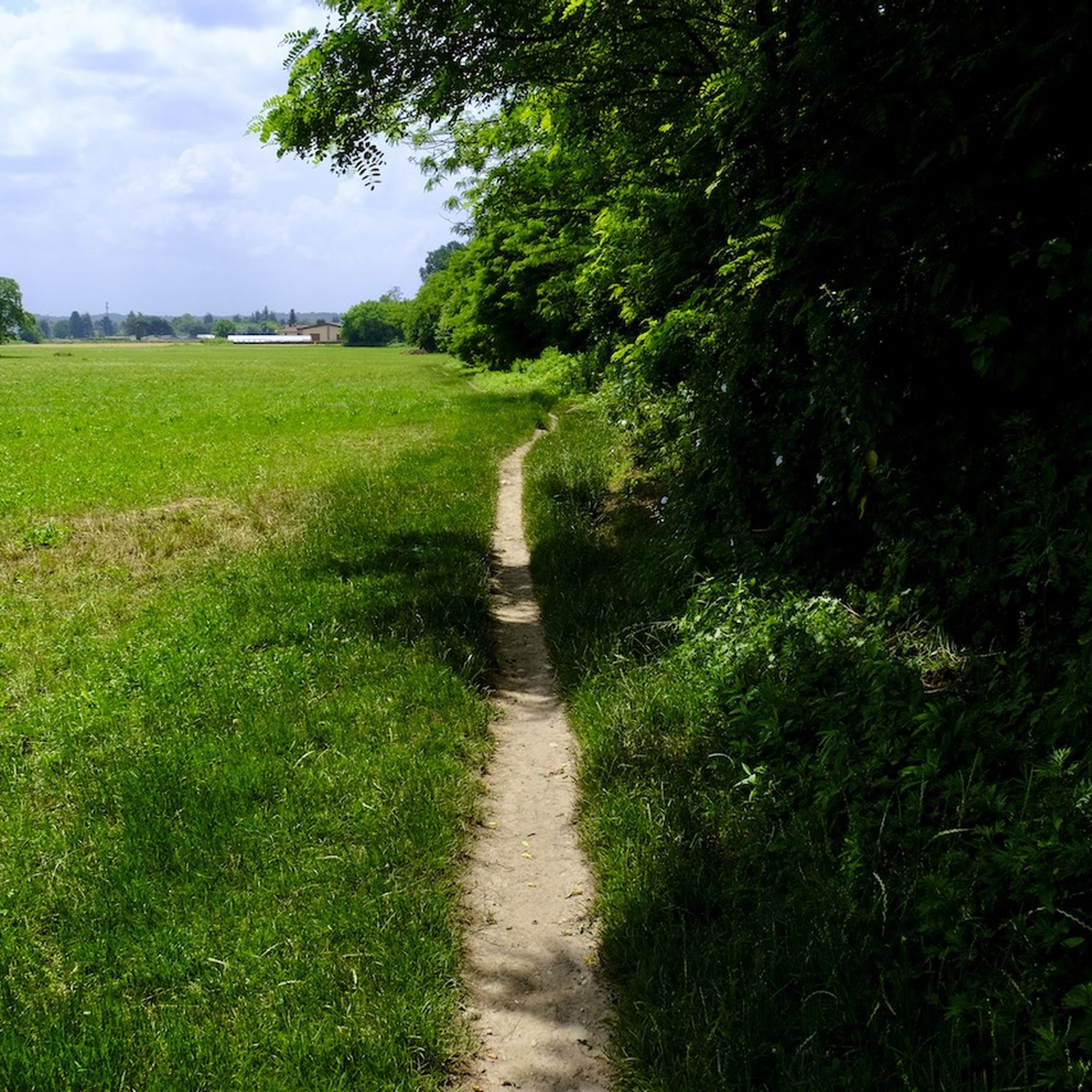
The Lura (traditionally called la Lura in the Lombard language) is a stream in Lombardy, 46.2 kilometers long, which originates on the Italian-Swiss border and flows as the main tributary into the Olona river at Rho. The watercourse develops from north to south, crossing 20 Municipalities located within three Lombard provinces: Como, Varese, and Milan
0
0


Always fascinating to discover places that bring our history back to life
0
0

nice walk with a beautiful landscape and easy access
1
0

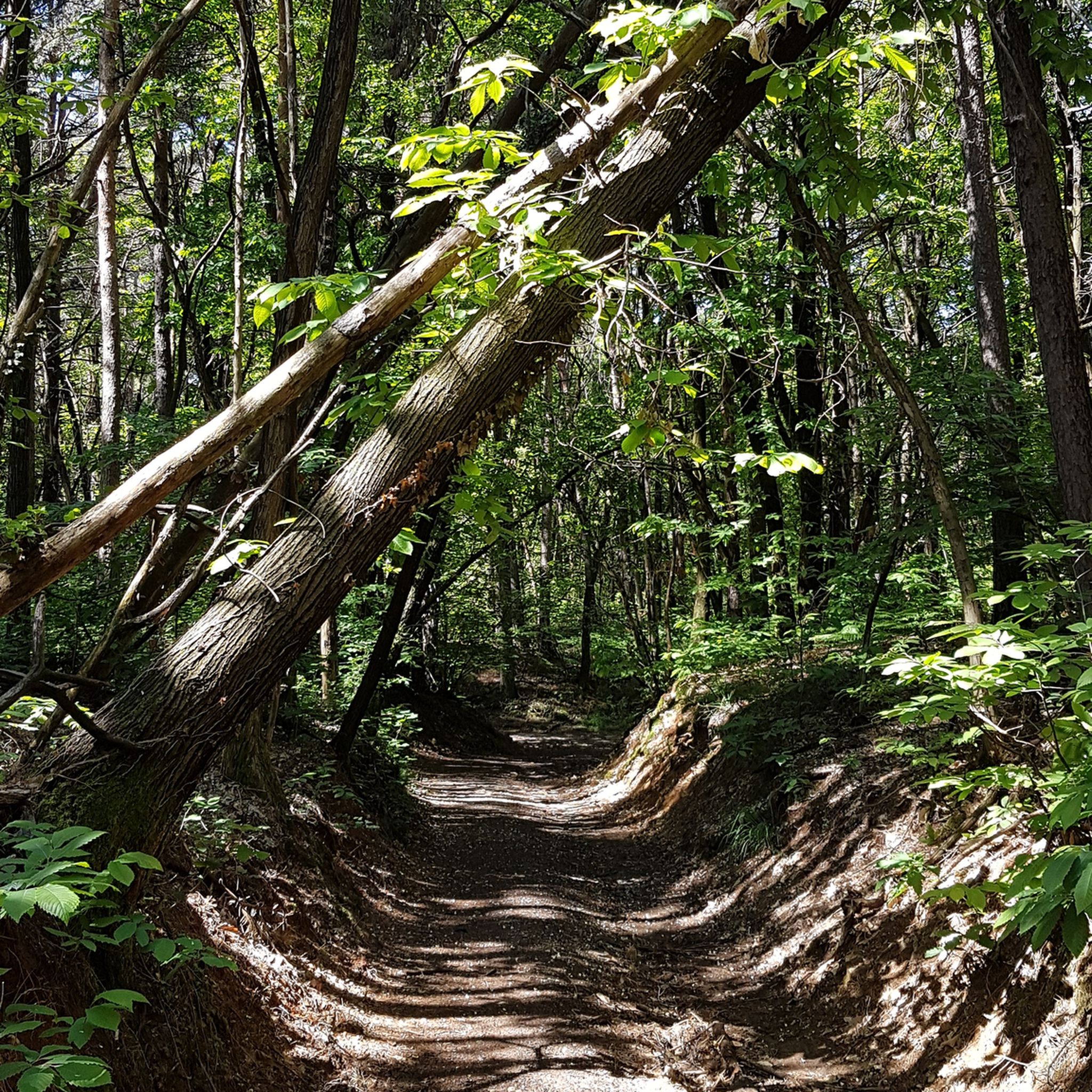
Fun single track near Como, also suitable for an e-bike ride. The route starts from Cavallasca and arrives in Como, and alternates simple stretches with more challenging sections, with small jumps that can be easily avoided. In every season, it offers spectacular views of Lake Como.
1
0

One of the panoramic points of the park
2
0
Frequently Asked Questions
How many running routes are available in Olgiate Comasco?
There are currently 19 running routes around Olgiate Comasco listed on komoot. These routes offer a variety of distances and difficulties, catering to different preferences and fitness levels.
What kind of terrain can I expect on the running trails in Olgiate Comasco?
The running trails in Olgiate Comasco feature diverse terrain. You'll find paths winding through morainic hills, offering undulating landscapes and scenic views. Many routes also follow the Lura River, providing pleasant riparian paths. The surfaces vary, including both paved and unpaved sections, ensuring a varied experience.
Are there easy running paths for beginners or those looking for a relaxed jog?
Yes, Olgiate Comasco offers options for easier runs. For instance, the Running loop from Beregazzo con Figliaro is a moderate 6.9 km trail that leads through green surroundings and is often completed in about 43 minutes, making it suitable for a relaxed pace.
Are there any challenging running routes for experienced runners?
Absolutely. For those seeking a more strenuous workout, routes like the Colverde Ascent – Lura River Trail loop from Beregazzo con Figliaro offer a difficult 17.7 km path with varied terrain through morainic hills, taking about 1 hour 55 minutes to complete. Another challenging option is the Pin Umbrela – Lura River Trail loop from Beregazzo con Figliaro, which is 26.7 km long with significant elevation changes.
What do other runners say about the trails in Olgiate Comasco?
The running routes in Olgiate Comasco are highly rated by the komoot community, with an average score of 5.0 stars from over 3 reviews. More than 180 runners have used komoot to explore the area's varied terrain, often praising the natural beauty and the well-integrated recreational spaces.
Are there any circular running routes in Olgiate Comasco?
Many of the running routes in Olgiate Comasco are designed as loops, offering convenient circular paths. A popular example is the Alta Valle del Lura – Lura River Trail loop from Olgiate Comasco, a moderate 12.2 km route that follows accessible paths along the Lura River.
What natural features or landmarks can I see along the running routes?
The routes often traverse morainic hills and follow the Lura River, providing scenic views and riparian paths. While jogging, you might also encounter areas within the Parco del Lura or the Parco della Pineta di Appiano Gentile e Tradate. For those interested in local history, the Valmorea Railway Cycle Path, built on a former railway line, offers a unique historical landscape.
Are there any interesting places to explore near the running trails?
Beyond the running trails themselves, the region offers other points of interest. For example, you can find various caves nearby, such as the Sandstone Caves of the Molera Gorges or the Malnate Caves. These can be interesting detours for exploration after your run.
Is Olgiate Comasco well-connected by public transport for accessing running trails?
Olgiate Comasco's strategic location in Lombardy provides some public transport options. While specific routes to trailheads may vary, the town itself is generally accessible. It's advisable to check local bus schedules or regional train connections to nearby towns for the most convenient access to your chosen starting points.
Are there parking facilities available near the running routes?
Yes, for many of the routes starting from towns like Olgiate Comasco or Beregazzo con Figliaro, you can typically find local parking facilities. These are often available in or near the town centers, providing convenient access to the trailheads.
Can I find running routes that follow the Lura River?
Many routes in the area incorporate the Lura River, offering pleasant riverside running. The Lura River Trail – Torrente Lura loop from Beregazzo con Figliaro is a moderate 10.2 km route that specifically highlights the river, providing a refreshing experience along its banks.
What is the best time of year for running in Olgiate Comasco?
The Lombardy region, including Olgiate Comasco, generally offers pleasant conditions for running during spring and autumn, when temperatures are mild. Summer can be warm, especially at midday, so early morning or late afternoon runs are preferable. Winter runs are also possible, though some paths might be affected by weather conditions.
Most popular routes around Olgiate Comasco
Most popular attractions around Olgiate Comasco

Get inspired with the komoot mobile app


Explore more
Browse the best Running Trails & Routes in other regions.
