The best walks and hikes around Salzweg
4.7
(827)
2,773
hikers
43
hikes
Hiking trails around Salzweg offer diverse outdoor experiences within Lower Bavaria, near Passau. The region is characterized by a hilly terrain with gentle climbs, dense woodlands, and the presence of the Ilz River. Situated at the foot of the Dreitannenberg hill, Salzweg provides access to a network of trails that traverse natural landscapes and river valleys.
Best hiking trails around Salzweg
- The most popular hiking route is Ilz Footbridge and Triftsperre Tunnel – Hals Castle Ruins loop from Halser Ilzschleifen…
Last updated: October 28, 2026
4.8
(502)
1,602
hikers
Moderate hike. Good fitness required. Easily walkable paths.
4.8
(90)
328
hikers
Easy hike. Easily walkable paths.

4.3
(11)
52
hikers
Easy hike. Easily walkable paths.
4.5
(27)
92
hikers
5.92km
01:37
100m
100m
Easy hike. Easily walkable paths.
5.0
(2)
23
hikers
5.44km
01:28
80m
80m
Easy hike. Easily walkable paths.
Get access to more routes and recommendations from other explorers.
Already have an account?
Our route recommendations are based on thousands of hikes, rides, and runs completed by other people on komoot.
Start today with a free account
Your next adventure awaits.
Tips from the Community

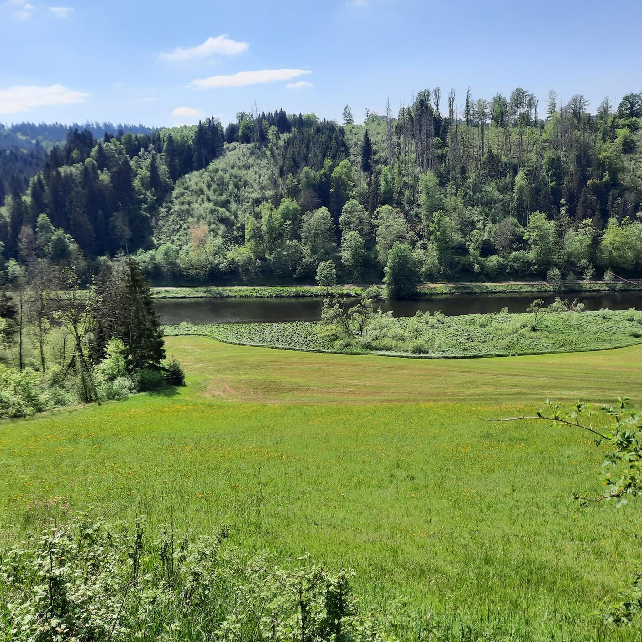
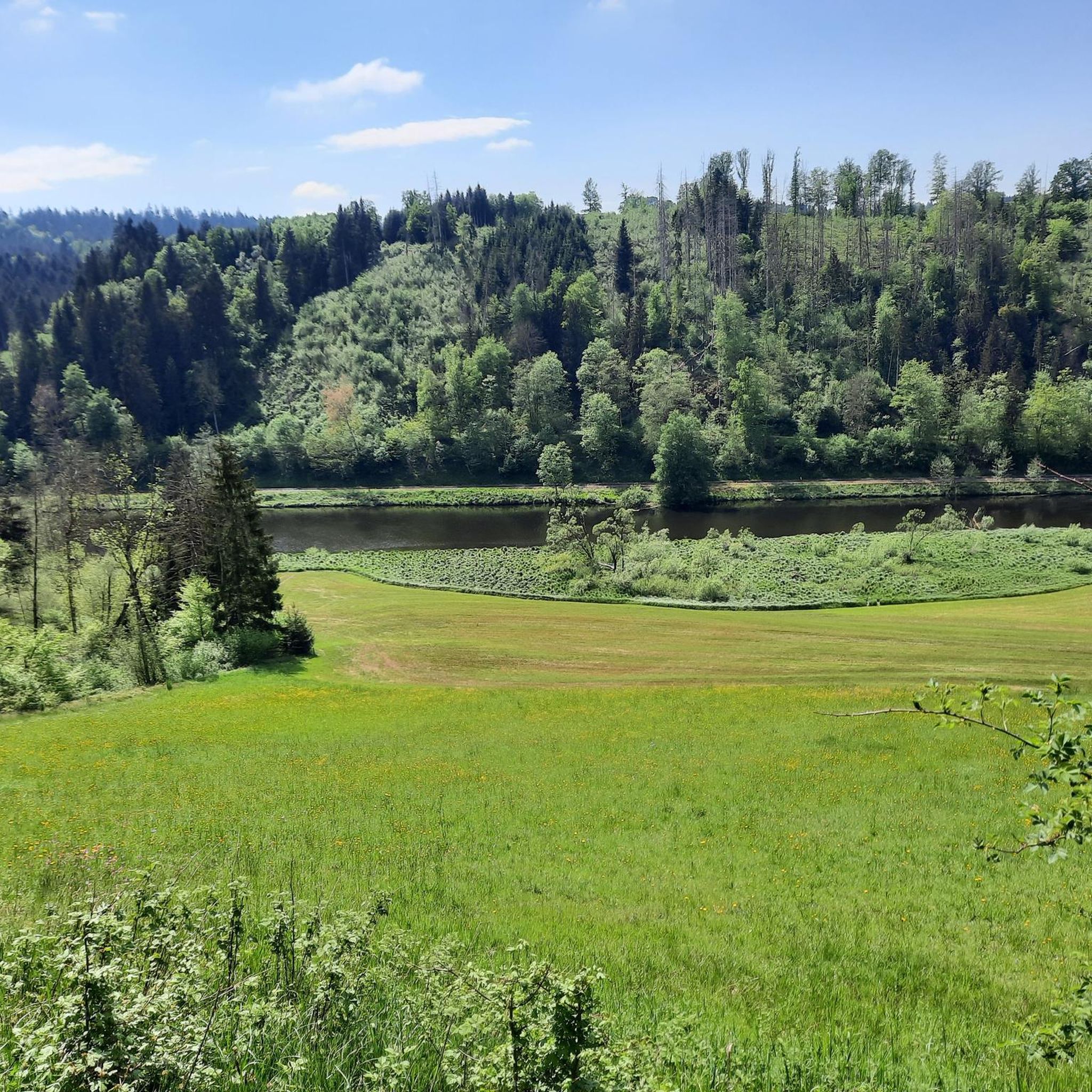
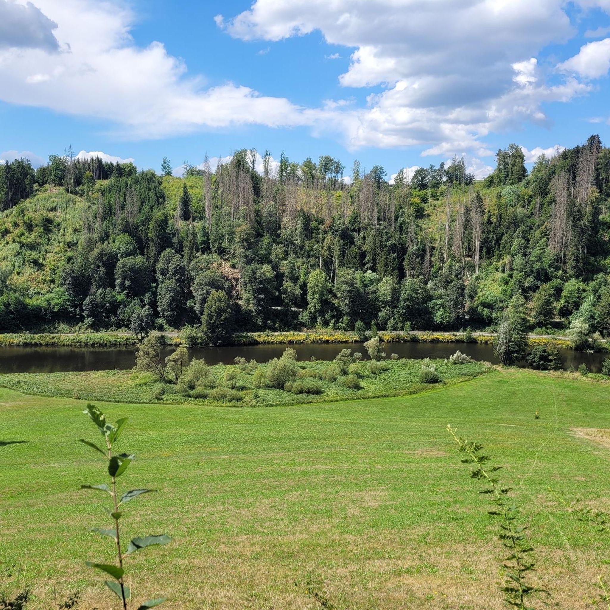
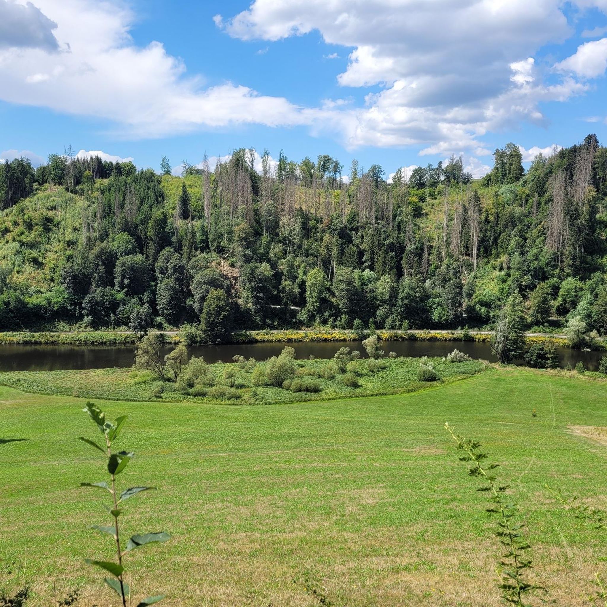
Oberilzmühle Reservoir The Oberilzmühle Reservoir, also known as Haslach-Speicher, north of Passau in Bavaria in the municipality of Salzweg, dams the Ilz river at Oberilzmühle to form a lake. For the new construction of a hydroelectric power plant, the city of Passau bought the Oberilzmühle in 1939. In May 1942, the city had to cede the project to the Arno Fischer Research Facility, which intended to build a so-called underwater power plant under the direction of Arno Fischer. The construction work was carried out by prisoners forced into labor in the external camp Passau I of the Mauthausen concentration camp until the final days of the war. After the Second World War, Stadtwerke Passau completed the project as the Oberilzmühle hydroelectric power plant using conventional technology from 1951 to 1955. It has been in operation since 1953. In 1965 and 1966, the dam was raised. This made it possible to increase the output to a maximum of 500 kilowatts. The Oberilzmühle Reservoir is about five km long. Its width is 40 to 50 m in the upper part, up to 200 m in the lower part. The maximum depth is 14 m. The dam is a gravity dam 19 m high and 110 m long. The Oberilzmühle power plant on the Ilz produces approximately 13 million kWh of electricity annually with a nominal output of 3.4 MW, which corresponds to the electricity needs of about 4000 households. The reservoir is also used for recreation. Next to a public bathing beach on the west bank, there is an unofficial nudist area on the east bank. Due to the contamination of the Ilz with sludge, there is a repeated ban on swimming in the Ilz. Especially in August, algal blooms can significantly worsen the water quality in the reservoir. In 2007, a fish ladder was built, allowing a bypass of the dam on the western side. Source: www.wikipedia.de
1
0

The Passau district of Hals lies on the beautiful Ilz River, right at its impressive bend. Northwest of Hals, an artificial log-driving tunnel was built to shorten the route for timber that would otherwise have to be floated down the long Ilz loop. The detour from Passau is well worth it – pure nature! 🥾🥾
2
0

Currently construction site - not accessible
0
1
Beautiful path over the Ilz - with a good inn
1
0

Hals is a district in the north of Passau.
0
0

Attention, don't miss the entrance
2
1
Frequently Asked Questions
How many hiking trails are available around Salzweg?
Salzweg offers a wide variety of hiking experiences, with over 45 trails documented on komoot. These range from easy strolls to more challenging routes, ensuring options for all fitness levels.
What is the best time of year for hiking in Salzweg?
The most enjoyable time for hiking in Salzweg is typically from spring through autumn. During these seasons, the temperatures are mild, and the natural surroundings, including the forests and river valleys, are vibrant and inviting.
Are there family-friendly hiking trails in Salzweg?
Yes, Salzweg is well-suited for families. The region offers several easy walks, such as the 3.5 km (2.2 miles) Ilzstausee Dam – Ilz Footbridge and Triftsperre Tunnel loop from Halser Ilzschleifen, which takes about 56 minutes. Additionally, the Märchenwald trail (Fairy Tale Forest trail) is a popular short walk featuring wooden figures of fairytale characters, perfect for children.
What natural features or landmarks can I see on hikes around Salzweg?
Hiking around Salzweg offers views of diverse natural features and historical landmarks. You can explore the scenic Ilz River valley, often called the 'Black Pearl Ilz,' with its reservoir and the idyllic Mausmühle. The Halser Ilz loops feature an ancient log driving dam and a historical tunnel. Nearby attractions include the impressive Oberhaus Fortress and the Hals Castle Ruins. Don't miss the spectacular Three Rivers Corner (Ortspitze) in Passau, where the Inn, Danube, and Ilz rivers converge.
Are there circular hiking routes around Salzweg?
Yes, many trails in Salzweg are designed as circular routes, allowing you to start and end at the same point. A popular option is the 8.9 km (5.5 miles) Ilz Footbridge and Triftsperre Tunnel – Hals Castle Ruins loop from Halser Ilzschleifen, which explores the Ilz River valley and historical sites.
What do other hikers enjoy most about hiking in Salzweg?
The hiking trails around Salzweg are highly rated by the komoot community, with an average score of 4.8 out of 5 stars from almost 800 reviews. Hikers often praise the region's diverse terrain, from river valleys to dense forests and rolling hills, and the well-maintained paths that cater to various ability levels.
Are there any long-distance hiking trails accessible from Salzweg?
Yes, Salzweg provides access to sections of renowned long-distance trails. The Goldsteig Trail's southern route passes through the area, with a section leading along the Ilz River past the Mausmühle and Triftsperre. The Donausteig also runs along the Danube, offering breathtaking views of the river valley and historical landmarks.
What are the difficulty levels of hikes in Salzweg?
Salzweg offers a range of trails suitable for various fitness levels. Approximately 24 routes are considered easy, 19 are moderate, and 2 are more difficult, ensuring there's a suitable path whether you're looking for a leisurely walk or a more challenging trek.
Are there any castles or historical sites to explore near Salzweg?
Absolutely. The region is rich in history. You can visit the impressive Oberhaus Fortress, which offers panoramic views, or explore the ruins of Hals Castle and Reschenstein Castle. Fürstenstein Castle, with its beautiful park, also invites visitors for leisurely walks, blending history with nature.
Can I find trails that follow the Ilz River?
Yes, the Ilz River is a central feature of the hiking landscape around Salzweg. Many trails closely follow its course, offering picturesque riverside walks. An easy option is the 6.3 km (3.9 miles) Ilz Footbridge and Triftsperre Tunnel – Ilz Dam and Fish Ladder loop from Halser Ilzschleifen, which provides views of the dam and fish ladder.
Are there any viewpoints with expansive panoramic views?
For expansive panoramic views, the Dreisesselberg, a renowned vantage point, is accessible nearby. It offers sweeping vistas across the Bavarian Forest and, on clear days, extends to the distant Alps. Within Salzweg itself, trails leading to Dreitannenberg also provide memorable experiences and stunning views.
Are dogs allowed on hiking trails in Salzweg?
Generally, dogs are welcome on hiking trails in Salzweg, especially in the natural areas and forests. It's always recommended to keep them on a leash, particularly in nature reserves or near wildlife, and to clean up after them to ensure a pleasant experience for all hikers.
Most popular attractions around Salzweg

Get inspired with the komoot mobile app


Explore more
Browse the best Hikes in other regions.
