The best road cycling routes around Trivolzio
4.2
(254)
4,505
riders
104
rides
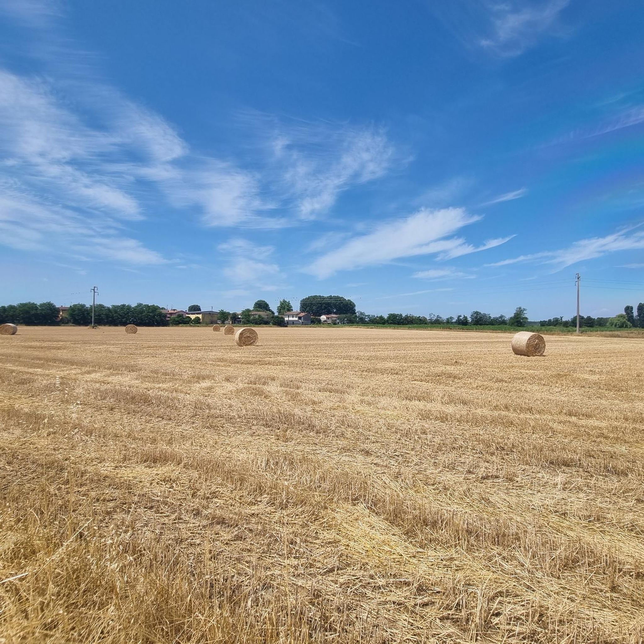
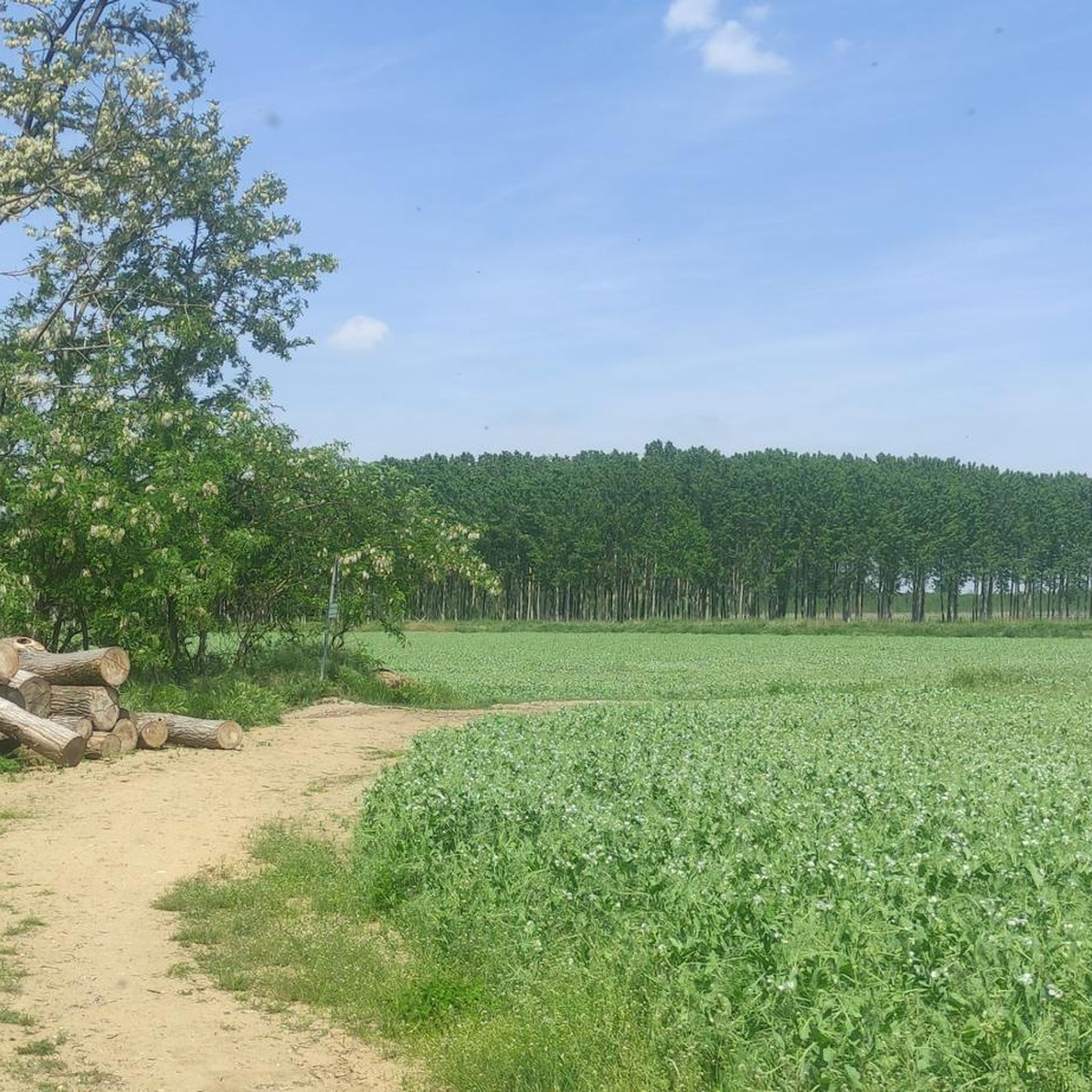
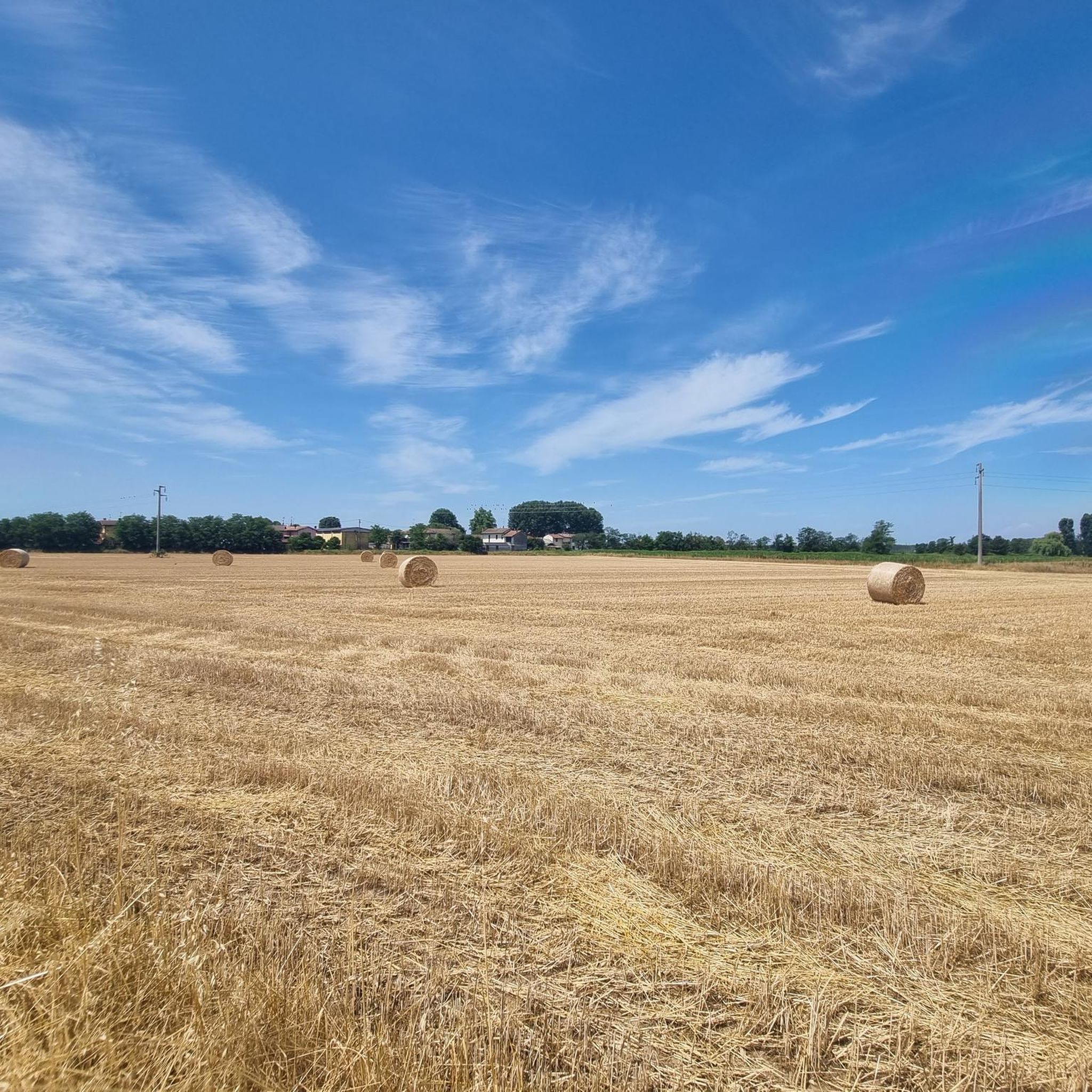
Road cycling routes around Trivolzio are characterized by a predominantly flat to gently undulating landscape, typical of the Lombardy plain. The region features a network of canals, including the Bereguardo Canal, and the Ticino River, providing scenic routes with minimal elevation changes. Agricultural fields and small villages define much of the terrain, offering a mix of open stretches and quiet country roads suitable for road cycling.
Best road cycling routes around Trivolzio
- The most popular road cycling route is Bereguardo…
Last updated: November 1, 2026
4.2
(13)
258
riders
47.5km
01:48
50m
50m
Easy road ride. Mostly well-paved surfaces and easy to ride.
4.3
(10)
85
riders
Easy road ride. Mostly well-paved surfaces and easy to ride.

4.1
(10)
75
riders
50.1km
02:00
60m
60m
Moderate road ride. Some segments of this route may be unpaved and difficult to ride.
4.5
(12)
74
riders
Easy road ride. Mostly well-paved surfaces and easy to ride.
4.3
(3)
34
riders
Easy road ride. Mostly well-paved surfaces and easy to ride.
Get access to more routes and recommendations from other explorers.
Already have an account?
Our route recommendations are based on thousands of hikes, rides, and runs completed by other people on komoot.
Start today with a free account
Your next adventure awaits.

Tips from the Community

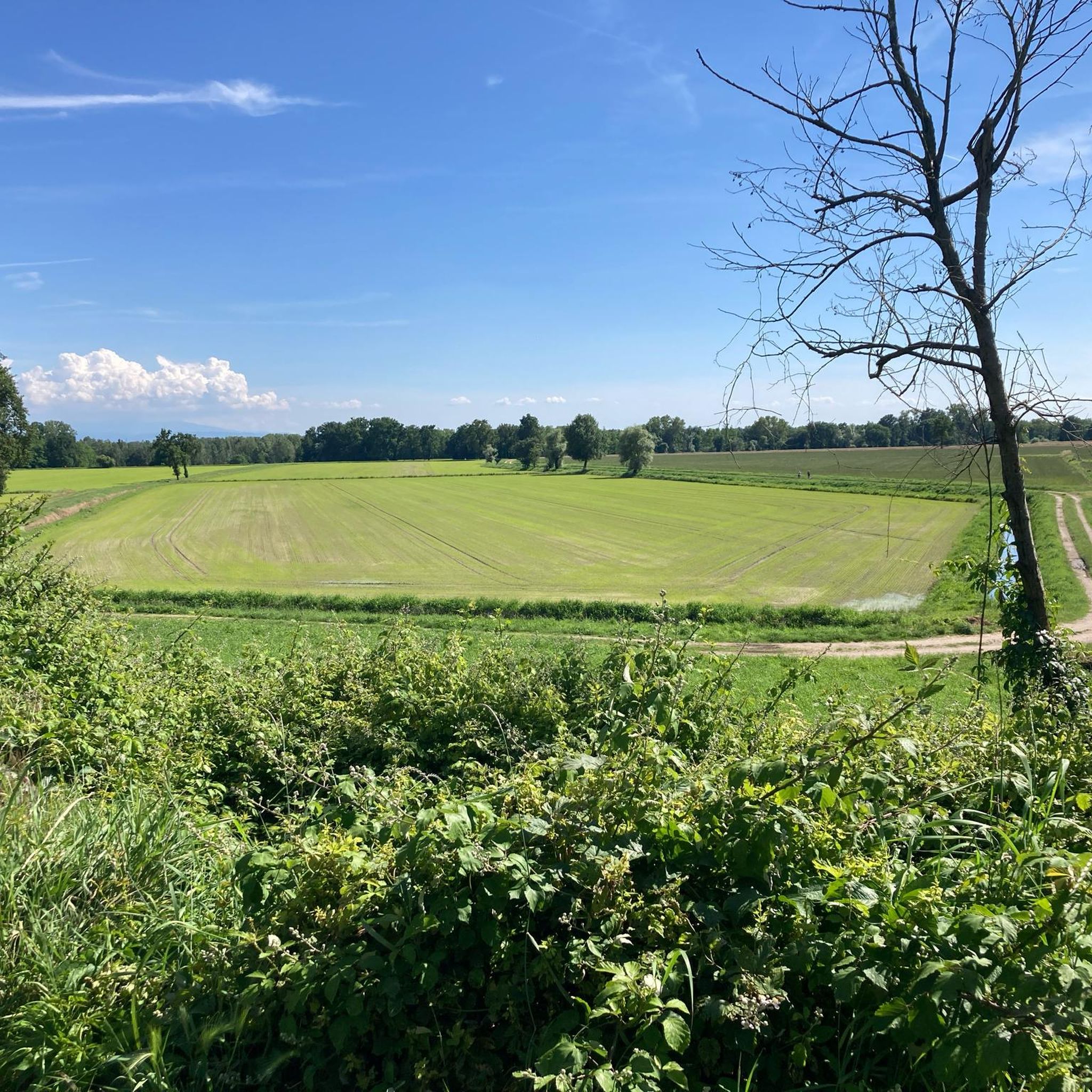
Well yes, even near Milan there are rice fields Leaving the Barona district behind, you immerse yourself in a route through the Rice Fields Park (Parco delle Risaie). At the edge of the Park is Cascina Battivacco: founded in the 12th century, donated to the ancient Ca’ Granda Hospital in 1879, today it is an educational farm, shop, and B&B. All around is the panorama of the rice fields: a scenic nature that alternates green meadows and rice fields.
1
0
The Naviglio di Bereguardo boasts a historic complex of 12 navigation locks (or sluices) IL NAVIGLIO DI BERE GUARDO - Il Motografo, designed to overcome a height difference of 24 m over a distance of just 19 km Naviglio di Bereguardo - Wikipedia. Inaugurated starting from 1438, these Navigli locks allowed boats to go up the Ticino and reach Milan, making the canal the famous "salt road" Il Naviglio di Bereguardo. Today the locks are no longer active for navigation Il Naviglio di Bereguardo and mainly serve as an irrigation canal. You can admire the best-preserved masonry remains and the original bottom gates near Cascina Conca (between Morimondo and Motta Visconti).
0
0

L'Alzaia del Naviglio di Bereguardo is the historic towpath, today transformed into a splendid cycle-pedestrian path of about 19 kilometers, which runs along the artificial canal of the same name. It connects Castelletto di Abbiategrasso (where the canal originates, branching off from the Naviglio Grande) to the municipality of Bereguardo, finally flowing into the Ticino river. Built in the 15th century at the behest of the Dukes of Milan (the Visconti first, then the Sforza), the canal served as a fundamental commercial route (particularly for salt and cheeses) to connect the city to the Po river and the sea.
2
0
The fields and rice paddies near Noviglio can periodically be flooded due to heavy rainfall or normal irrigation and agricultural channel management operations. These floods generally concentrate near the local cycle paths and rural roads—such as those of the Sprint delle Risaie di Cantalupo on Komoot—which follow the course of local canals. The area is part of a region with an extensive irrigation network, making the fields close to the embankments easily prone to waterlogging during the rainier months and the sowing season.
0
0
The church of Saints Giacomo and Cristoforo is located in Ruginello, a hamlet of Vimercate. It was built between 1909 and 1930 and dedicated to Saints Giacomo and Cristoforo.
0
0
The Naviglio di Bereguardo is a historic artificial canal in Lombardy, 18.85 kilometers long, which originates from the Naviglio Grande in Castelletto di Abbiategrasso and ends in Bereguardo, a short distance from the Ticino river.
2
0
La Conca del Dazio is the first lock on the Naviglio di Bereguardo, located about 5 km south of Castelletto di Abbiategrasso. It takes its name from the toll that merchant boats had to pay at this point before entering the Naviglio Grande towards Milan.
0
0

A real surprise: a cycle path that is a straight stretch but is still nice to ride. Very wide, it allows you to cycle without problems with any type of bike
2
0
Frequently Asked Questions
How many road cycling routes are available around Trivolzio?
There are over 110 road cycling routes around Trivolzio, offering a wide range of options for different skill levels and preferences.
Are there easy road cycling routes suitable for beginners in Trivolzio?
Yes, Trivolzio offers a good selection of easy road cycling routes. You can find around 47 routes categorized as easy, perfect for beginners or those looking for a relaxed ride. An example is the Pontoon Bridge over the Ticino – Bereguardo Pontoon Bridge loop from Bereguardo, which is an easy 30.8-mile (49.6 km) path.
What kind of terrain can I expect on road cycling routes around Trivolzio?
Road cycling routes around Trivolzio are characterized by a predominantly flat to gently undulating landscape, typical of the Lombardy plain. You'll often find yourself cycling along a network of canals, including the Bereguardo Canal, and the Ticino River, with agricultural fields and small villages defining much of the terrain.
Are there any challenging road cycling routes for experienced cyclists?
While the region is largely flat, there are a few routes that offer slightly more challenge. The majority of routes are moderate, with 65 options available. For instance, the Small climb in the locality of Cerine – Ponte della Conca loop from Battuda includes a small climb, providing a bit more elevation gain.
Can I find long-distance road cycling routes in the Trivolzio area?
Yes, many routes in the Trivolzio area offer substantial distances. For example, the Bereguardo Canal Lock – Ponte della Conca loop from Battuda is a moderate 35.6-mile (57.3 km) route, and the Ponte della Conca – Bereguardo Canal Lock loop from Battuda covers 31.1 miles (50.0 km), both providing excellent options for longer rides.
Are there circular road cycling routes available around Trivolzio?
Yes, many of the road cycling routes around Trivolzio are designed as loops, allowing you to start and end in the same location. Examples include the Bereguardo Canal Lock – Ponte della Conca loop from Battuda and the Church of Mairano loop from Battuda.
What are some scenic viewpoints or natural attractions I can see while cycling?
While cycling, you can enjoy views of the Ticino River, especially from highlights like the View of the bend in the Ticino River or the Casottole Viewpoint on the Ticino River. The region also features the Ticino River in the Lombardy Park of the Ticino Valley and the Entrance to Garzaia della Carola Wetland.
Are there any cultural landmarks or places of interest accessible by road bike?
Yes, you can cycle to significant cultural sites. A notable landmark is the Certosa of Pavia (Charterhouse of Pavia), a stunning monastery. You might also encounter the Wooden Bridge over the Ticino, adding historical charm to your ride.
What is the best season for road cycling around Trivolzio?
The Lombardy plain, where Trivolzio is located, generally offers pleasant cycling conditions from spring through autumn. Spring and early autumn provide milder temperatures, while summer can be warm but still enjoyable, especially along the shaded canal paths. Always check local weather forecasts before heading out.
What do other cyclists say about road cycling in Trivolzio?
The road cycling routes around Trivolzio are highly rated by the komoot community, with an average score of 4.0 stars from over 100 reviews. Cyclists often praise the flat, consistent terrain along the canals and through agricultural areas, making for smooth and enjoyable rides.
Are there family-friendly road cycling options in Trivolzio?
Given the predominantly flat terrain and numerous canal paths, many of the easy and moderate routes around Trivolzio are suitable for families. These paths often provide a safe and scenic environment away from heavy traffic, ideal for cycling with children.
Where can I find parking when starting a road cycling route in Trivolzio?
When planning your road cycling trip, you can typically find parking in the small towns and villages that serve as starting points for many routes, such as Battuda or Bereguardo. Look for designated public parking areas within these localities.
Are there routes that pass by cafes or places to stop for refreshments?
Many road cycling routes around Trivolzio pass through or near small villages. These villages often have local cafes, bars, or small shops where you can stop for refreshments, a coffee, or a quick snack, especially in towns like Bereguardo or along the canal paths.
What makes road cycling around Trivolzio unique compared to other regions?
The uniqueness of road cycling around Trivolzio lies in its distinct Lombardy plain landscape. The extensive network of canals, including the historic Bereguardo Canal, and the presence of the Ticino River, offer consistent, mostly flat terrain with minimal elevation changes, providing a unique blend of natural beauty and agricultural scenery not commonly found in more mountainous regions.
Most popular attractions around Trivolzio

Get inspired with the komoot mobile app


Explore more
Browse the best Road cycling routes in other regions.
