The best walks and hikes around Springe
4.6
(5314)
19,322
hikers
709
hikes
Hiking around Springe offers access to diverse natural landscapes, including the forested Deister, Kleiner Deister, and Süntel hill ranges. The region is characterized by extensive woodlands, varied terrain, and the unique Saupark Springe wildlife enclosure. These areas provide a network of trails that traverse ridges, valleys, and natural features, catering to different hiking preferences.
Best hiking trails around Springe
- The most popular hiking route is Deisterkamm and back – via Köllnischfeld and Annaturm, a 9.0 miles (14.5 km) trail…
Last updated: September 29, 2026
4.4
(286)
848
hikers
14.5km
04:05
310m
310m
Moderate hike. Good fitness required. Easily-accessible paths. Suitable for all skill levels.
4.7
(227)
713
hikers
6.55km
01:48
110m
110m
Easy hike. Great for any fitness level. Easily-accessible paths. Suitable for all skill levels.

4.6
(251)
688
hikers
14.9km
04:14
310m
310m
Moderate hike. Good fitness required. Easily-accessible paths. Suitable for all skill levels.
4.7
(177)
523
hikers
10.4km
02:57
230m
230m
Moderate hike. Good fitness required. Easily-accessible paths. Suitable for all skill levels.
4.6
(193)
587
hikers
8.49km
02:19
130m
130m
Moderate hike. Good fitness required. Easily-accessible paths. Suitable for all skill levels.
Get access to more routes and recommendations from other explorers.
Already have an account?
Our route recommendations are based on thousands of hikes, rides, and runs completed by other people on komoot.
Start today with a free account
Your next adventure awaits.





Tips from the Community

Wonderful hiking destination and a view that one would always gladly hike to
0
0

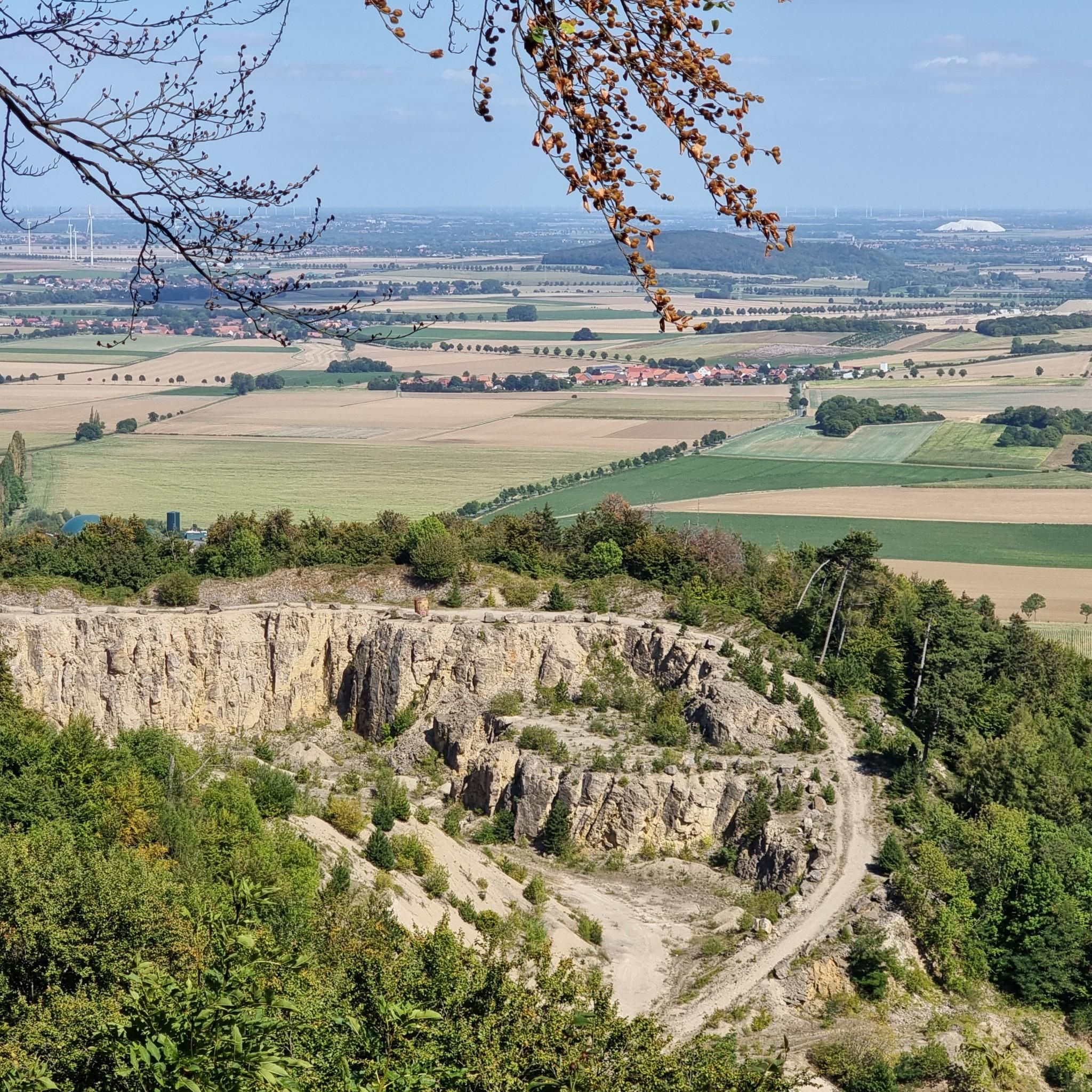
The Nienstedter Blick lies above this rock formation and can be reached via a small path on the left.
1
0

The Schwedenfindling or also Deisterfindling is a glacial erratic that was found in 2012 in the Deister near Egestorf. In 2020, it was designated as a natural monument under the designation „Deister- or Schwedenfindling“. The unusual altitude of 365 m above sea level at the find spot is of scientific importance. It proves that the Deister, contrary to previous assumptions, was glaciated up to its ridge during at least one of the last three ice ages. Glacial erratics are not transported this far on the surface of glaciers. A glacier thickness of at least 50 m would have been required to transport such a heavy erratic. Therefore, it is assumed that the glacier crossed the mountains, which are a maximum of 405 m high. Gradient calculations result in an ice cover of up to 500 m for present-day Hanover. Source: https://de.wikipedia.org/wiki/Schwedenfindling
1
0
A small, stony path leads left past the hut to the Alte Taufe, about 100 m away.
1
0
The „Schweden-Findling“ (Swedish Boulder) was found in 2012 by a member of the Natural History Society of Hannover under the root plate of a spruce that had fallen in winter, at an altitude of 365 m above sea level. It weighs 100 kg and has the dimensions 55 x 37 x 34 cm. Its dimensions are not comparable to spectacular finds in the wider area, which were made at much lower altitudes. An example is the boulder found in 2013 near Ostermunzel (municipality of Barsinghausen) at an altitude of about 60 m above sea level, made of Scandinavian gneiss, which weighs 27.5 tons and has a circumference of approx. 10 m. You can reach the Schweden-Findling by walking about 1.5 km along the road and footpath that leads from the car park at Nienstedter Pass to the Nordmannsturm. The boulder and an information board are located directly by the path. From there, it is just under 500 m to the Nordmannsturm. The Schweden-Findling was unequivocally identified by glacial erratic experts as Hardeberga sandstone, a very dense and hard sandstone from the region of Scania in southern Sweden. The Hardeberga deposits were formed about 540 million years ago in the Cambrian period. These deposits have become very strongly consolidated and are much harder than the comparatively weakly consolidated, much younger sandstones from the Cretaceous period that form the Deister. Source: https://schwedenfindling.n-g-h.org/
1
0

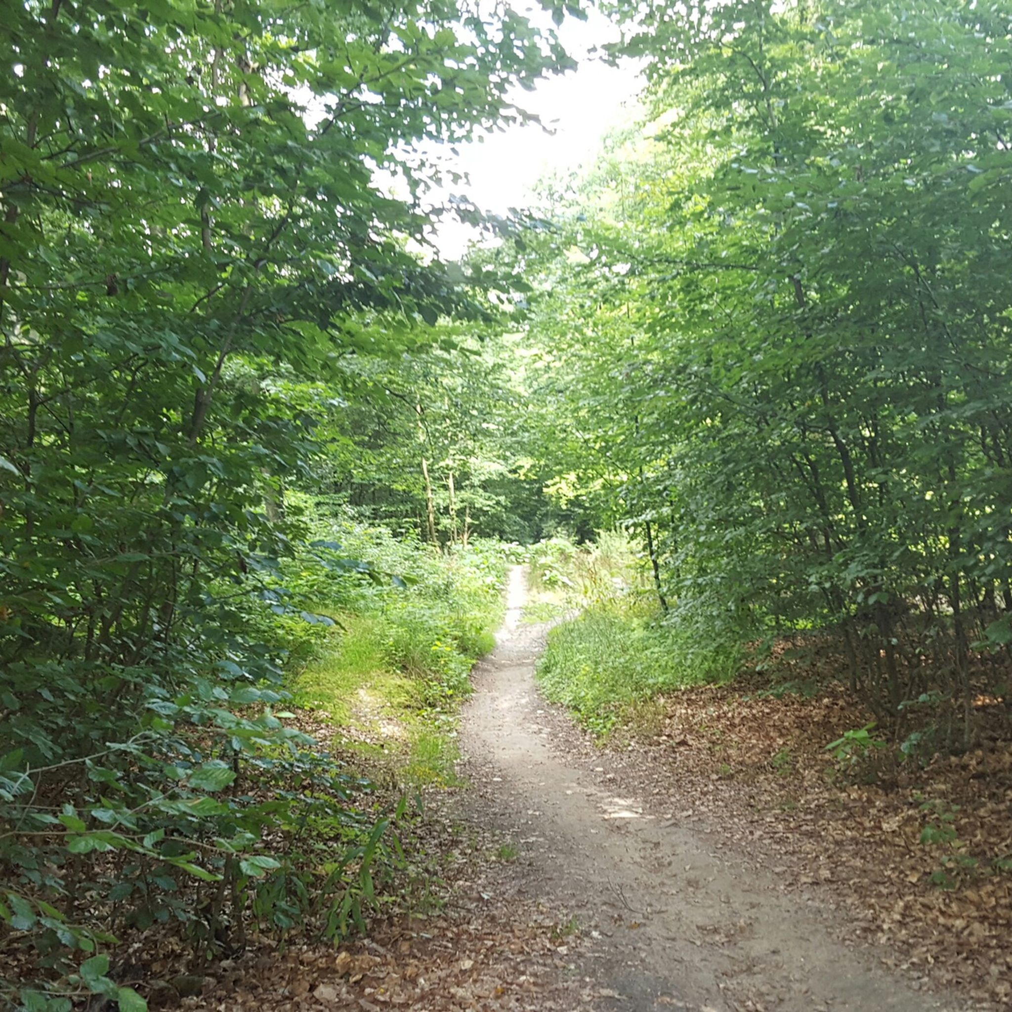
There are also beautiful narrow paths in the Deister, this is one of them.
0
0
On a snowshoe hike, the Wallmannhütte in the Deister hills becomes a quiet, almost magical place. Surrounded by snow-covered forest, it offers a welcome break where you can pause for a moment and enjoy the winter tranquility.
1
0
Frequently Asked Questions
How many hiking trails are available around Springe?
Springe and its surrounding areas offer a vast network of hiking trails. You can find over 690 routes, ranging from easy strolls to more challenging treks, primarily within the Deister, Kleiner Deister, and Süntel hill ranges.
Are there easy hiking trails suitable for beginners or families in Springe?
Yes, Springe is very welcoming for beginners and families. There are nearly 400 easy trails available, many of which are found in the Süntel Hills with minimal elevation changes, or within the Saupark Springe, offering gentle paths through nature.
What kind of natural features can I expect to see on hikes around Springe?
Hiking around Springe reveals diverse natural beauty. You'll encounter dense forests, prominent ridges like the Deisterkamm, and unique geological formations such as the Deisterklippen with their caves. The Süntel Hills are also known for their distinctive Süntelbuche trees and areas like the Schneegrund Nature Reserve, which bursts with wildflowers in spring.
Are there any circular hiking routes in the Springe area?
Yes, many of the trails around Springe are designed as circular routes, allowing you to start and end at the same point. A popular option is the Rest area at Eselsteich – Springe Hunting Lodge loop from Saupark, which takes you through the wildlife enclosure.
Can I bring my dog on the hiking trails in Springe?
Many trails in the Springe region are dog-friendly, allowing you to explore the natural landscapes with your canine companion. It's always advisable to keep dogs on a leash, especially in wildlife-rich areas like the Saupark Springe, and to respect local regulations.
What are some notable landmarks or viewpoints along the hiking trails?
Hikers can discover several interesting landmarks and enjoy panoramic views. The Annaturm on the Bröhn, the highest point of the Deister, offers extensive vistas. Another significant point is the Nordmannsturm, also in the Deister, providing more scenic outlooks. The Kleiner Deister features the Deisterklippen and the Hallermundskopf with remnants of an old castle.
Where can I observe wildlife while hiking in Springe?
The best place for wildlife observation is the Saupark Springe, a large wildlife enclosure that was once a royal hunting ground. Here, you have a good chance to see various animals in their natural habitat. The broader Deister area is also home to wild boar and deer, particularly visible in the early morning.
What is the best time of year to go hiking in Springe?
Springe offers great hiking opportunities year-round. Spring is beautiful with wildflowers like snowdrops and wood anemones in areas like the Schneegrund Nature Reserve. Summer provides lush green forests, while autumn brings vibrant foliage. Even in winter, the trails can be enjoyed, especially on crisp, clear days.
Are there challenging hikes with significant elevation gain in Springe?
Yes, for those seeking a challenge, Springe offers routes with notable elevation gains, particularly in the Deister and Kleiner Deister hills. Trails like the Deisterkamm and back – via Köllnischfeld and Annaturm involve over 300 meters of ascent and descent, providing a good workout.
What do other hikers say about the trails in Springe?
The hiking trails in Springe are highly regarded by the komoot community, with an average rating of 4.6 stars from over 4,000 reviews. Hikers frequently praise the well-maintained paths, the diverse landscapes, and the opportunities to connect with nature in the forested hill ranges.
Is there public transport available to reach hiking areas from Springe?
While specific public transport routes to every trailhead can vary, Springe itself is connected by public transport. From the town, you can often find bus services that can take you closer to the entry points of the Deister, Kleiner Deister, and Saupark Springe, making many hiking areas accessible without a car.
Are there places to eat or rest along the hiking routes?
Yes, several hiking areas around Springe feature places where you can stop for a rest or a meal. For instance, the Annaturm on the Bröhn in the Deister has a forest restaurant. Other routes may pass by mountain inns or cafes, especially near popular starting points or viewpoints.
Can I find historical sites or geological points of interest on the trails?
Absolutely. The Deister region, in particular, is rich in history and geology. You can explore old coal mining tunnels, ancient quarries, burial mounds, and even pagan worship sites. The Deisterklippen in the Kleiner Deister also feature numerous caves, adding a geological dimension to your hike.
Most popular routes around Springe
Most popular attractions around Springe

Get inspired with the komoot mobile app


Explore more
Browse the best Hikes in other regions.
