The best road cycling routes around Monticelli Pavese
4.6
(134)
4,100
riders
176
rides
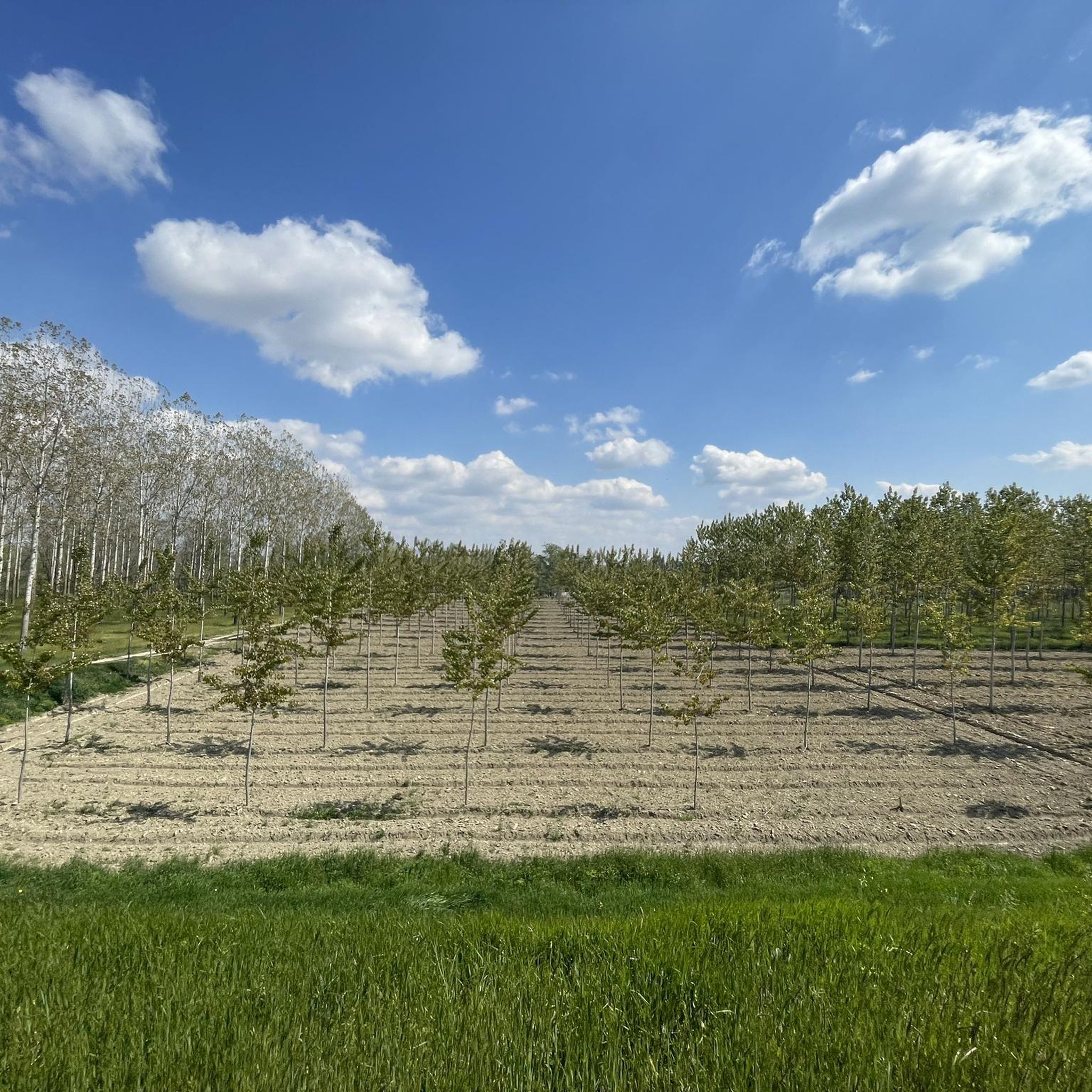
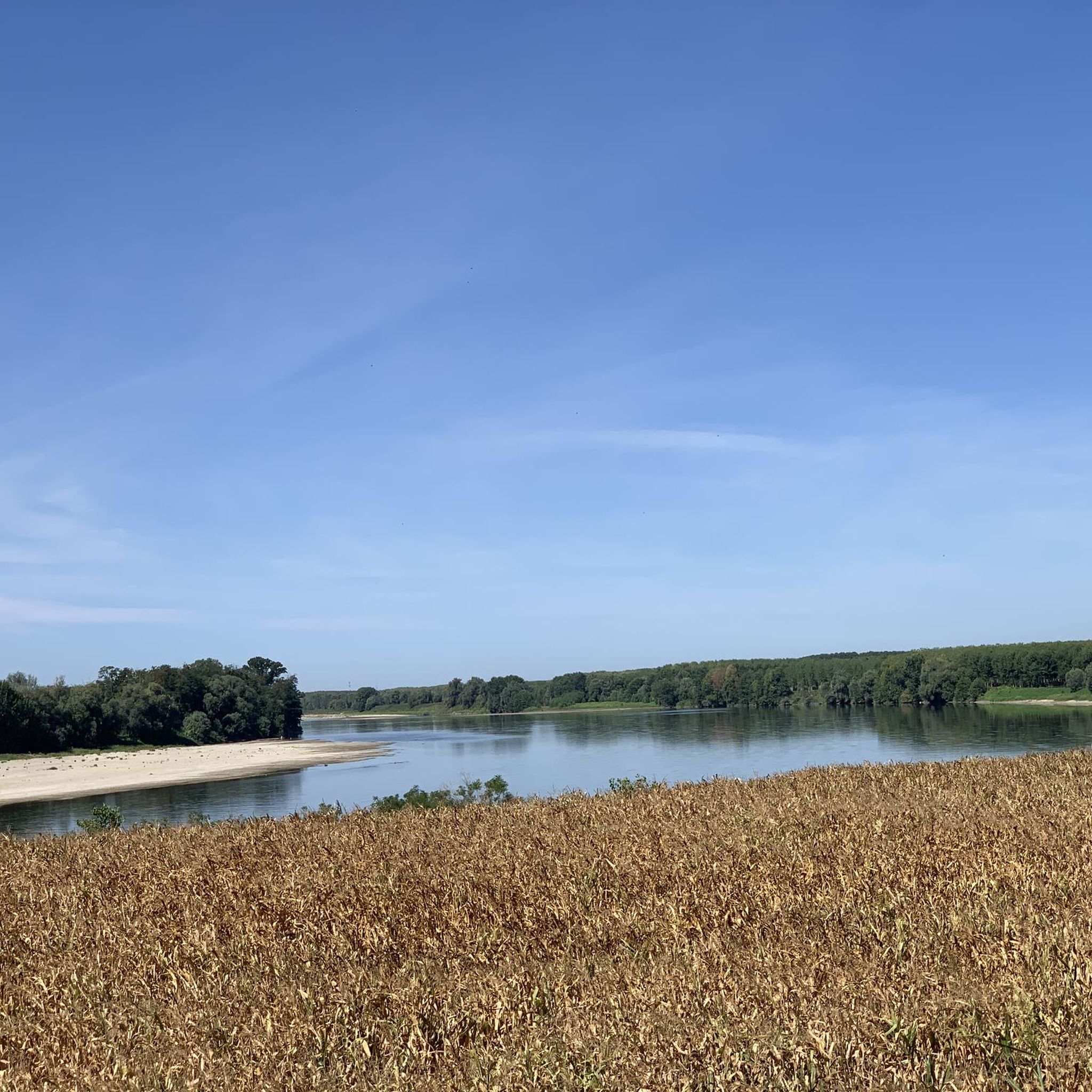
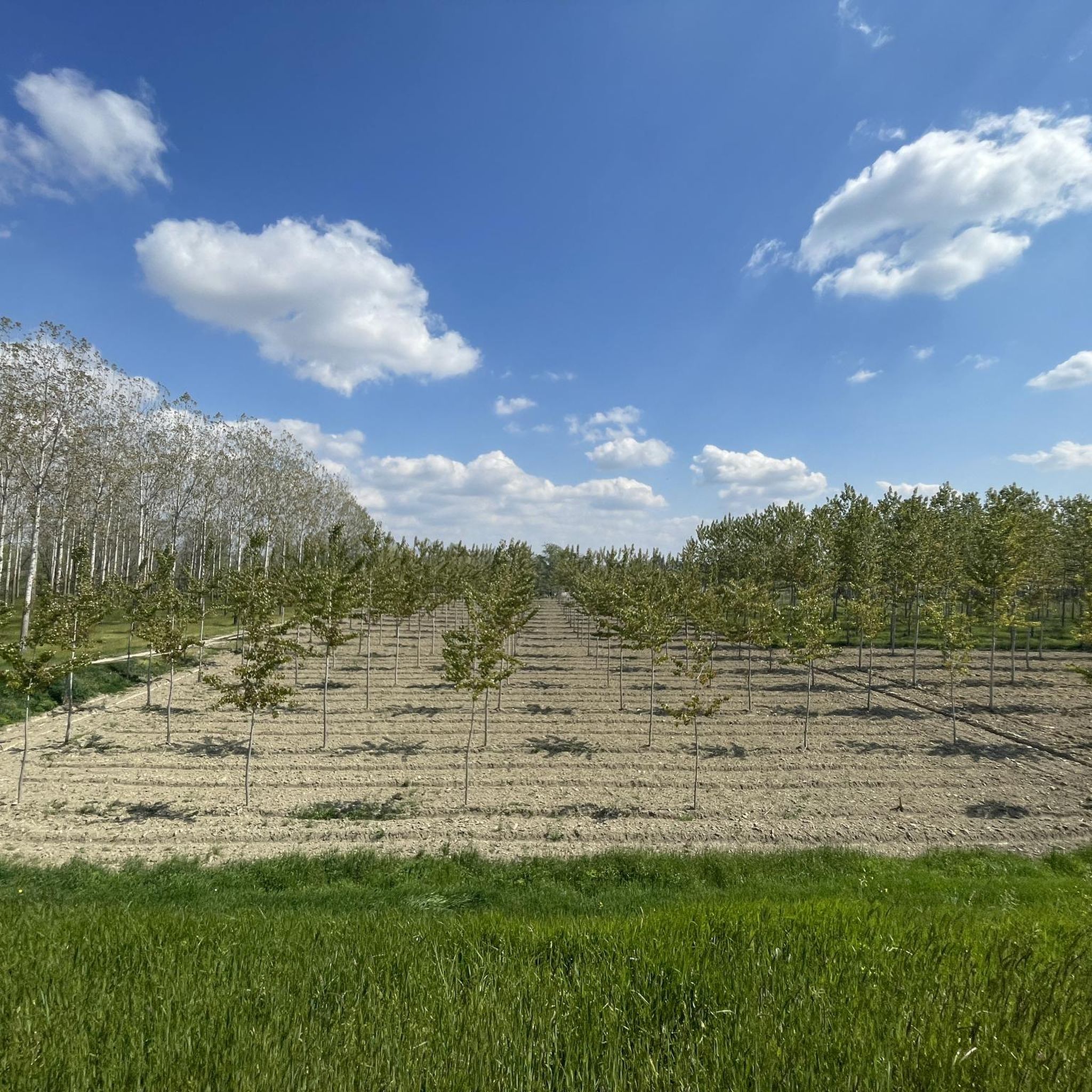
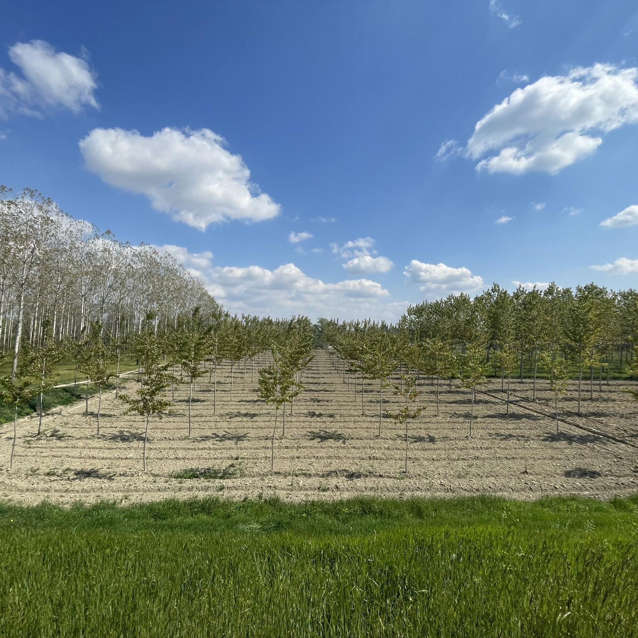
Road cycling around Monticelli Pavese, located in the Province of Pavia, Italy, offers diverse terrain for cyclists. The region features a blend of flat plains, particularly towards the Po River, and the rolling hills of the Oltrepò Pavese. This landscape provides options ranging from leisurely rides along riverbanks to more challenging routes with significant elevation gain. The area is characterized by its agricultural lands, vineyards, and historical sites, all accessible via a network of paved roads.
Best road cycling routes around Monticelli Pavese
- The most popular road cycling route is Little Stelvio of Oltrepò – Diga del Molato loop from Chignolo Po, a 61.9 miles (99.6 km) trail that takes 4 hours 30 minutes to complete. This route offers a moderate challenge through the Oltrepò Pavese hills.
- Another top favourite among local road cyclists is Banine Ascent: The Woods – Ramp of Via Belfuggito loop from Chignolo Po, a difficult 60.3 miles (97.0 km) path. This route provides a demanding ride with over 1,000 meters of elevation gain through wooded areas.
- Local road cyclists also love the Boffalora – Church of Sarturano loop from Rottofreno, a 30.4 miles (49.0 km) trail leading through rolling terrain and scenic countryside, often completed in about 2 hours 13 minutes.
- Road cycling around Monticelli Pavese is defined by flat river plains, rolling hills, and agricultural landscapes. The network offers options for different ability levels, from gentle rides to more strenuous climbs.
- The routes in Monticelli Pavese are highly rated by the komoot community with an average score of 4.5 stars from over 100 reviews. More than 3,700 road cyclists have used komoot to explore Monticelli Pavese's varied terrain.
Last updated: July 29, 2026
5.0
(1)
72
riders
99.8km
04:31
780m
780m
Moderate road ride. Good fitness required. Mostly well-paved surfaces and easy to ride.
5.0
(2)
62
riders
99.9km
04:17
360m
360m
Moderate road ride. Good fitness required. Some segments of this route may be unpaved and difficult to ride.

Sign up for free
4.3
(3)
56
riders
60.1km
02:31
430m
430m
Moderate road ride. Good fitness required. Mostly well-paved surfaces and easy to ride.
46
riders
60.5km
02:31
250m
250m
Moderate road ride. Good fitness required. Mostly well-paved surfaces and easy to ride.
21
riders
52.3km
02:18
180m
180m
Moderate road ride. Good fitness required. Mostly well-paved surfaces and easy to ride.
Get access to more routes and recommendations from other explorers.
Sign up for free
Already have an account?
Our route recommendations are based on thousands of hikes, rides, and runs completed by other people on komoot.
Start today with a free account
Your next adventure awaits.
Login or Signup

Tips from the Community

The Ramp on Via Collada in San Colombano al Lambro (MI) is a climb of about 700-1160 meters that starts right by the castle walls. It is known for its challenging average gradient of ~17% and peaks exceeding 20%] Length: Approximately 1.16 km (with a steep initial section of ~ 500 meters). Elevation gain: ~ 199 meters. Average gradient: 17.12%. Maximum gradient: Very steep, suitable for intense training (MTB/road bike climb category).
0
0
The climb from San Colombano al Lambro (Viale Milano) to the Moccia area and the crest of the hill covers about 750 m to the plateau. Along the way, you cross the Strada della Capra and skirt the splendid Bosco della Moccia, a protected area rich in oaks and hornbeams. San Colombano hill offers several routes to walk or cycle to reach the panoramic part
0
0
The Ciaparat Chapel is a landmark mainly known on road cycling routes around Sant'Angelo Lodigiano and the Parco Agricolo Sud Milano, often included in loop itineraries between Bascapè, Locate Triulzi, and Vistarino. It is a popular area for moderate road bike training, with asphalted roads.
0
0
The vineyards of San Colombano are located on the only hill in the metropolitan city of Milan, an isolated elevation in the Po Valley that extends between the provinces of Milan, Lodi, and Pavia. This area is renowned for the production of the DOC wine of the same name, often referred to as the "wine of Milan" due to its historical proximity and connection with the metropolis.
0
0

The Schinelli Bicycle Monument is located in Lombardy, in the Oltrepò Pavese area, and is one of the small "symbolic places" linked to the local cycling culture.
15
0

The villa was built according to its original design by Count Antonio Cavazzi della Somaglia, VIII Count and Baron of Somaglia, to showcase the power of his family, in an area where he owned several lands and estates. The count entrusted the design to architect Giovanni Ruggeri. Upon his death in 1688, Antonio bequeathed the villa to his great-nephew Antonio Dati, who subsequently assumed the title of Count of Somaglia. Dati oversaw the expansion of the palace, transforming it into a majestic residence intended as a holiday resort and meeting place for great figures of 18th-century Italian literature and culture, but he never lived to see the work completed, which was completed by his son Antonio Giovanni Battista in 1749.
1
0


an unpretentious tour in the beautiful Lodi countryside!
1
0
Frequently Asked Questions
What types of terrain can I expect when road cycling around Monticelli Pavese?
The region around Monticelli Pavese offers a diverse mix of terrain. You'll find flat plains, especially towards the Po River, which are ideal for leisurely rides. For those seeking more challenge, the area also features the rolling hills of the Oltrepò Pavese, providing routes with varying ascents and descents.
How many road cycling routes are available in the Monticelli Pavese area?
There are over 170 road cycling routes around Monticelli Pavese, catering to various skill levels. The komoot community has explored these routes extensively, with over 3,700 road cyclists using komoot to discover the area's diverse terrain.
Are there any easy road cycling routes suitable for beginners or families?
Yes, Monticelli Pavese offers around 40 easy road cycling routes. These typically follow the flatter sections near the Po River, providing scenic and relaxed rides through agricultural lands. While specific family-friendly routes are not detailed, the flat riverine paths are generally suitable for less experienced cyclists.
What are some challenging road cycling routes for experienced riders?
For experienced riders seeking a challenge, routes through the Oltrepò Pavese hills offer significant elevation gain. An example is the Banine Ascent: The Woods – Ramp of Via Belfuggito loop from Chignolo Po, a difficult 97 km path with over 1,000 meters of elevation gain. Another demanding option is the Alta Val Tidone – Penice Pass (Bobbio) loop from Rottofreno, covering 128.7 km with over 1,750 meters of ascent.
Can I find circular road cycling routes in Monticelli Pavese?
Yes, many of the road cycling routes around Monticelli Pavese are designed as loops, allowing you to start and finish in the same location. For example, the popular Little Stelvio of Oltrepò – Diga del Molato loop from Chignolo Po is a moderate 99.6 km circular route, and the Boffalora – Church of Sarturano loop from Rottofreno is a 49 km loop through scenic countryside.
What historical attractions can I see along the road cycling routes?
The region is rich in historical sites that can be explored during your rides. Notable attractions include the magnificent 17th-century Villa Litta Carini, recognized as a national historical and artistic heritage site, and the impressive Chignolo Po Castle. You might also encounter San Colombano Castle and the historic Sigeric's Ford on the Via Francigena.
Are there scenic viewpoints or natural features to enjoy while cycling?
Absolutely. The area boasts picturesque river landscapes, especially along the Po River and the Lambro River, offering beautiful vistas. The Oltrepò Pavese region itself is known for its rolling hills, expansive vineyards, and charming villages, providing a harmonious blend of natural beauty and cultural heritage. The 'Polesine and the Great River Plain' to the east of Lombardy is particularly noted for its unique water-shaped landscapes.
What do other road cyclists enjoy most about road cycling in Monticelli Pavese?
The area is highly rated by the komoot community, with an average score of 4.5 stars from over 100 reviews. Cyclists often praise the diverse terrain that caters to all levels, from flat river plains to challenging hill climbs, as well as the scenic agricultural landscapes and the opportunity to discover historical sites along the routes.
What is the best time of year for road cycling in Monticelli Pavese?
While specific seasonal data isn't provided, the Lombardy region generally offers pleasant cycling conditions in spring and autumn, with milder temperatures and beautiful landscapes. Summer can be warm, especially in the plains, so early morning or late afternoon rides are often preferred. Winter might be less ideal due to colder temperatures and potential for rain.
Are there routes that connect to larger cycling networks?
Yes, the proximity to the Po River allows cyclists to potentially connect to the VenTo cycle route. This is a significant 700 km path that primarily runs along riverbanks, linking Turin to Venice, offering extensive opportunities for long-distance touring.
What is the average distance and elevation gain for road cycling routes in this area?
The routes vary significantly. You can find shorter, flatter rides, but many popular routes are moderate to difficult. For instance, the Little Stelvio of Oltrepò – Diga del Molato loop from Sarmato is 60 km with over 430 meters of elevation, while the Little Stelvio of Oltrepò – Diga del Molato loop from Chignolo Po is nearly 100 km with 780 meters of ascent. There are also routes with over 1,700 meters of elevation gain for the most ambitious riders.
Most popular routes around Monticelli Pavese
Most popular attractions around Monticelli Pavese

Get inspired with the komoot mobile app


Explore more
Browse the best Road cycling routes in other regions.
