The best running trails around Valverde
4.0
(3)
167
runners
22
runs
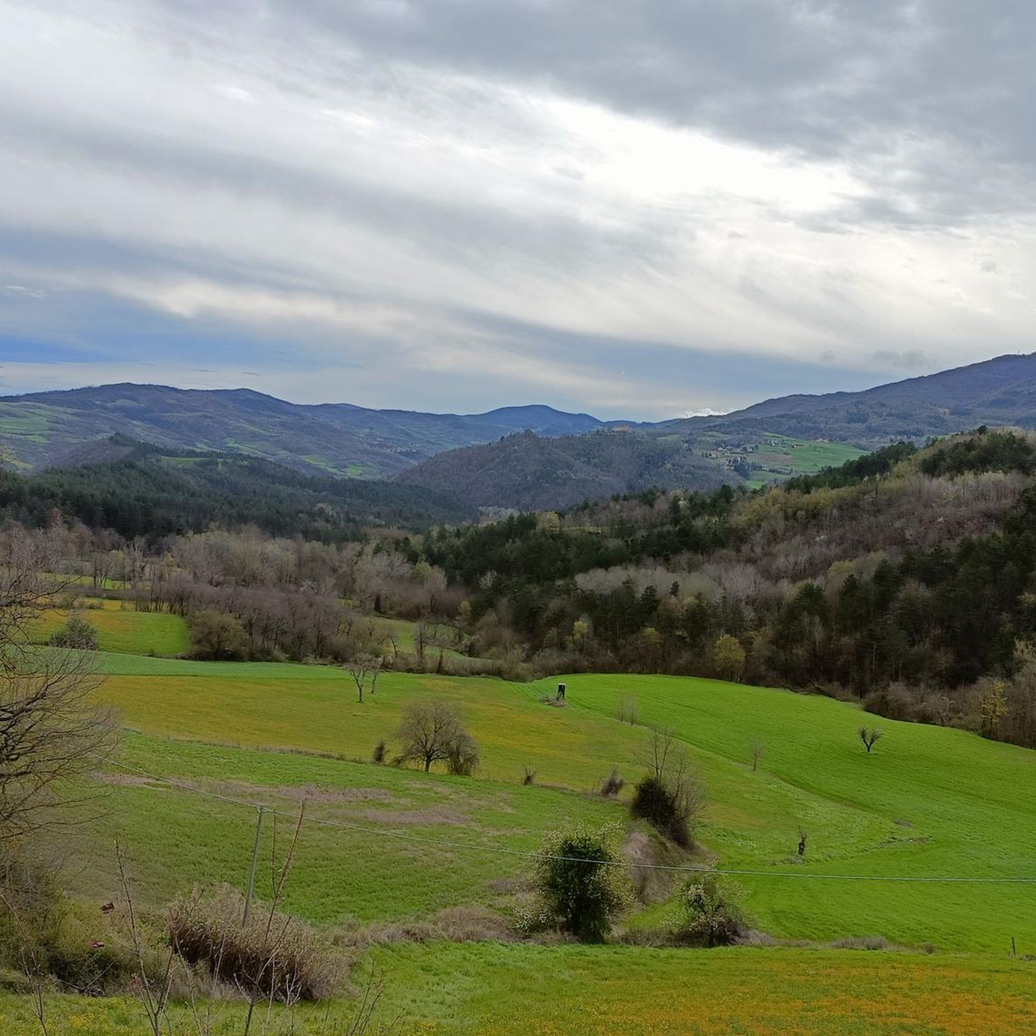
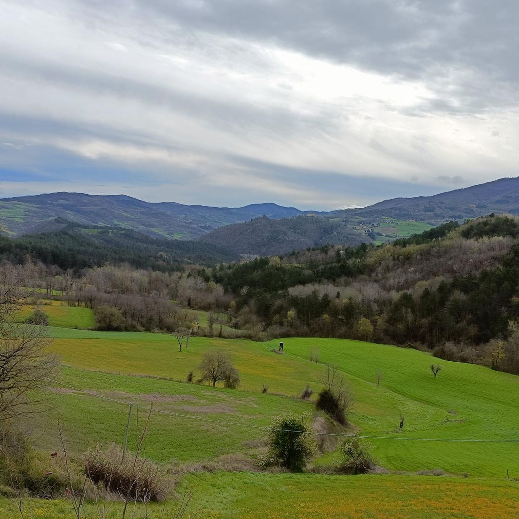
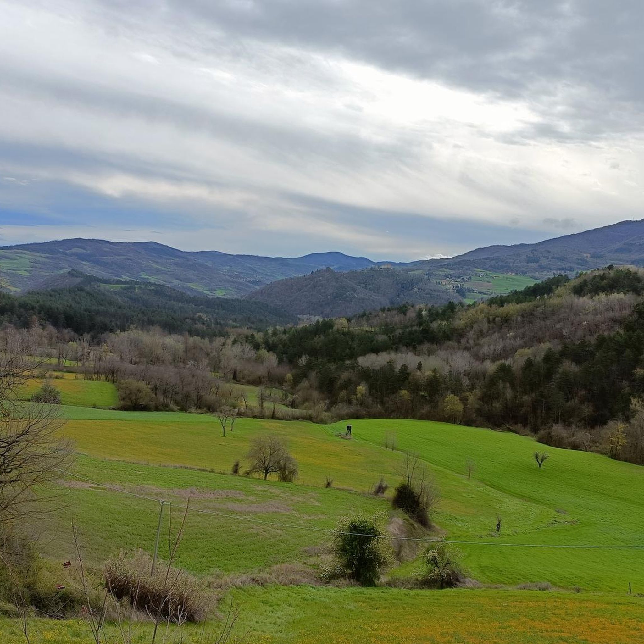
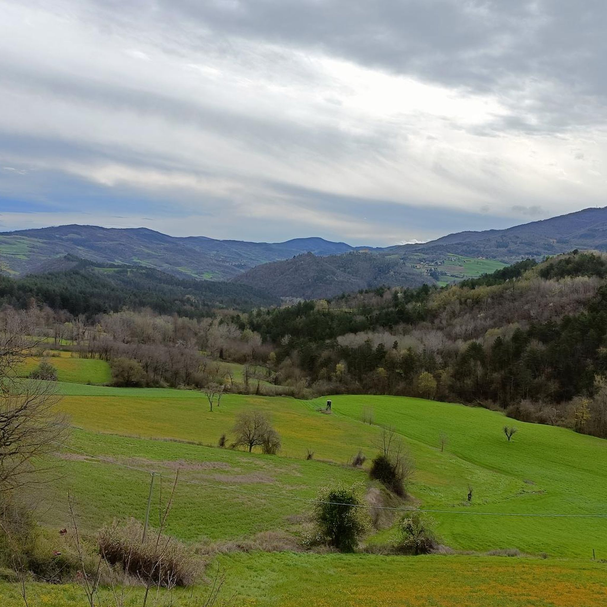
Jogging around Valverde offers a diverse range of routes, from gentle loops to challenging ascents. The region features varied terrain, including rolling hills and rural landscapes, providing a mix of experiences for runners. Many routes traverse through areas with notable elevation changes, characteristic of the local geography. This allows for both leisurely runs and more demanding training sessions across its natural environment.
Best jogging routes around Valverde
- The most popular jogging route is Running loop from Staghiglione, a 3.0…
Last updated: May 25, 2026
24
runners
38.1km
05:34
1,670m
1,670m
Hard run. Very good fitness required. Sure-footedness, sturdy shoes and alpine experience required.
19
runners
4.78km
00:31
90m
90m
Easy run. Great for any fitness level. Mostly paved surfaces. Suitable for all skill levels.

Sign up for free
10
runners
5.56km
00:35
50m
50m
Moderate run. Good fitness required. Mostly paved surfaces. Suitable for all skill levels.
11
runners
20.9km
03:14
1,100m
1,100m
Hard run. Very good fitness required. Sure-footedness, sturdy shoes and alpine experience required.
6
runners
14.3km
01:37
340m
330m
Hard run. Very good fitness required. Mostly paved surfaces. Suitable for all skill levels.
Get access to more routes and recommendations from other explorers.
Sign up for free
Already have an account?
Our route recommendations are based on thousands of hikes, rides, and runs completed by other people on komoot.
Start today with a free account
Your next adventure awaits.
Login or Signup

Tips from the Community

The Parish Church of San Germano Vescovo is the main church of Varzi and one of the most important religious monuments in the Oltrepò Pavese. It is located in the heart of the medieval village, in Largo Paolo Savini.
7
1
After these last two km the cycle path ends.
16
0

Here is the information about Salami di Varzi: https://www.italybite.it/de/blog/post/Die-Salame-di-Varzi-eine-klassische-Wurst-aus-der-Lombardi.html
7
0
Varzi salami needs no introduction.
13
0


Monte Chiappo (1700 m above sea level) is a large grassy mountain, vaguely shaped like a large pyramid, which rises on the main axis of the Ántola Chain. The Stàffora and Curone streams originate on its northern side; for this reason, near the summit the mountain range divides into three buttresses: the easternmost one divides the Stàffora Valley from the Trebbia Valley, rising further into Monte Lésima; the central one heads north, forming the watershed between Stàffora and Curone, while the western one, on which Monte Ebro stands, separates the Borbera Valley from the Curone Valley. The summit of the mountain is the meeting point between the regional borders of Piedmont, Emilia-Romagna and Lombardy.
4
0

Located on the top of the mountain, an excellent refreshment point a few steps from the chairlift station
0
0
Climbed to this peak from Pian del Poggio going up the ski slopes, a little steep but doable
0
0
Frequently Asked Questions
How many running routes are available around Valverde?
Valverde offers a diverse selection of over 15 running routes, catering to various fitness levels. The region's terrain, characterized by rolling hills and rural landscapes, provides a mix of experiences from gentle jogs to more demanding training sessions.
Are there easy jogging routes suitable for beginners in Valverde?
Yes, Valverde has options for beginners. An excellent easy route is the Running loop from Staghiglione, which is 3.0 miles (4.8 km) long and takes about 31 minutes to complete. It offers a pleasant circular path through the local area.
What kind of terrain can I expect on running trails in Valverde?
Running trails in Valverde are defined by rolling hills, varied rural landscapes, and paths with notable elevation changes. This diverse terrain provides options for different ability levels, from easy jogs to advanced running routes.
Are there any challenging or advanced running routes in Valverde?
Absolutely. For experienced runners seeking a challenge, the Monte Boglelio loop from Varzi is a difficult 14.7 miles (23.6 km) path featuring significant elevation gain across hilly terrain. Another demanding option is the Fortunago loop from Fortunago, an 8.9 miles (14.3 km) trail through rural landscapes.
Are there circular jogging routes in Valverde?
Many of Valverde's running routes are circular, offering convenient loop options. The Running loop from Staghiglione is a popular easy circular path, while the Monte Boglelio loop from Varzi and the Fortunago loop from Fortunago are more challenging circular options.
What do other runners say about the trails in Valverde?
The running routes in Valverde are highly rated by the komoot community, with an average score of 4.0 stars from 3 reviews. Over 100 runners have used komoot to explore the varied terrain, often praising the diverse landscapes and the options for different ability levels.
Are there any natural attractions or landmarks to see while running in Valverde?
Yes, the region offers several natural attractions. You might encounter highlights such as the Tidone Spring at Casa Matti, Monte Alpe, or the Calanchi di Nivione. These natural monuments and scenic spots can add an interesting dimension to your run.
What is the typical length and duration of running trails in Valverde?
Running trails in Valverde vary significantly in length and duration. You can find shorter routes like the Running loop from Staghiglione at 3.0 miles (4.8 km) taking about 31 minutes, up to longer, more challenging runs such as the Monte Boglelio loop from Varzi, which is 14.7 miles (23.6 km) and can take several hours.
Are there any running routes that pass by water features or dams?
Yes, some routes offer views of water features. For example, the Bridge over the Tidone – Molato Dam loop from Nibbiano is a 12.2 km (7.6 miles) route that includes a bridge over the Tidone and passes by the Molato Dam.
Can I find running routes that offer scenic views in Valverde?
Valverde's landscape of rolling hills and rural areas naturally provides many scenic views. Routes like the Monte Boglelio loop from Varzi offer expansive vistas from higher elevations, while others traverse charming rural landscapes, providing picturesque backdrops for your run.
Are there any running routes starting from Varzi?
Yes, Varzi serves as a starting point for several running adventures. You can embark on the challenging Monte Boglelio loop from Varzi or opt for the Running loop from Varzi, a difficult 20.7 km (12.9 miles) route.
Most popular attractions around Valverde

Get inspired with the komoot mobile app


Explore more
Browse the best Running Trails & Routes in other regions.
