The best cycling routes around Rüsselsheim am Main
4.4
(881)
5,233
riders
145
rides
Touring cycling routes around Rüsselsheim am Main are primarily characterized by the flat, well-maintained paths along the Main and Rhine rivers. The region offers extensive river-based cycling networks, connecting to the Main Cycle Path and the Rhine Cycle Path. These routes often feature scenic views of the rivers, vineyards, and green spaces. The terrain is generally flat, making it suitable for various cycling levels.
Best touring cycling routes around Rüsselsheim am Main
- The most popular touring cycling route is Main…
Last updated: October 5, 2026
4.7
(114)
503
riders
43.5km
02:40
100m
100m
Moderate bike ride. Good fitness required. Mostly paved surfaces. Suitable for all skill levels.
4.5
(128)
775
riders
Easy bike ride. Great for any fitness level. Mostly paved surfaces. Suitable for all skill levels.

4.3
(56)
290
riders
Easy bike ride. Great for any fitness level. Mostly paved surfaces. Suitable for all skill levels.
4.7
(30)
183
riders
Easy bike ride. Great for any fitness level. Mostly paved surfaces. Suitable for all skill levels.
4.3
(23)
131
riders
Moderate bike ride. Good fitness required. Mostly paved surfaces. Suitable for all skill levels.
Get access to more routes and recommendations from other explorers.
Already have an account?
Our route recommendations are based on thousands of hikes, rides, and runs completed by other people on komoot.
Start today with a free account
Your next adventure awaits.
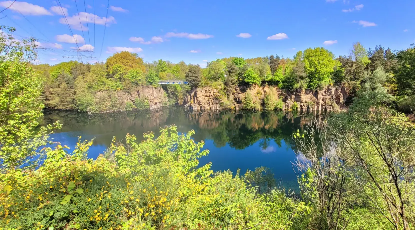
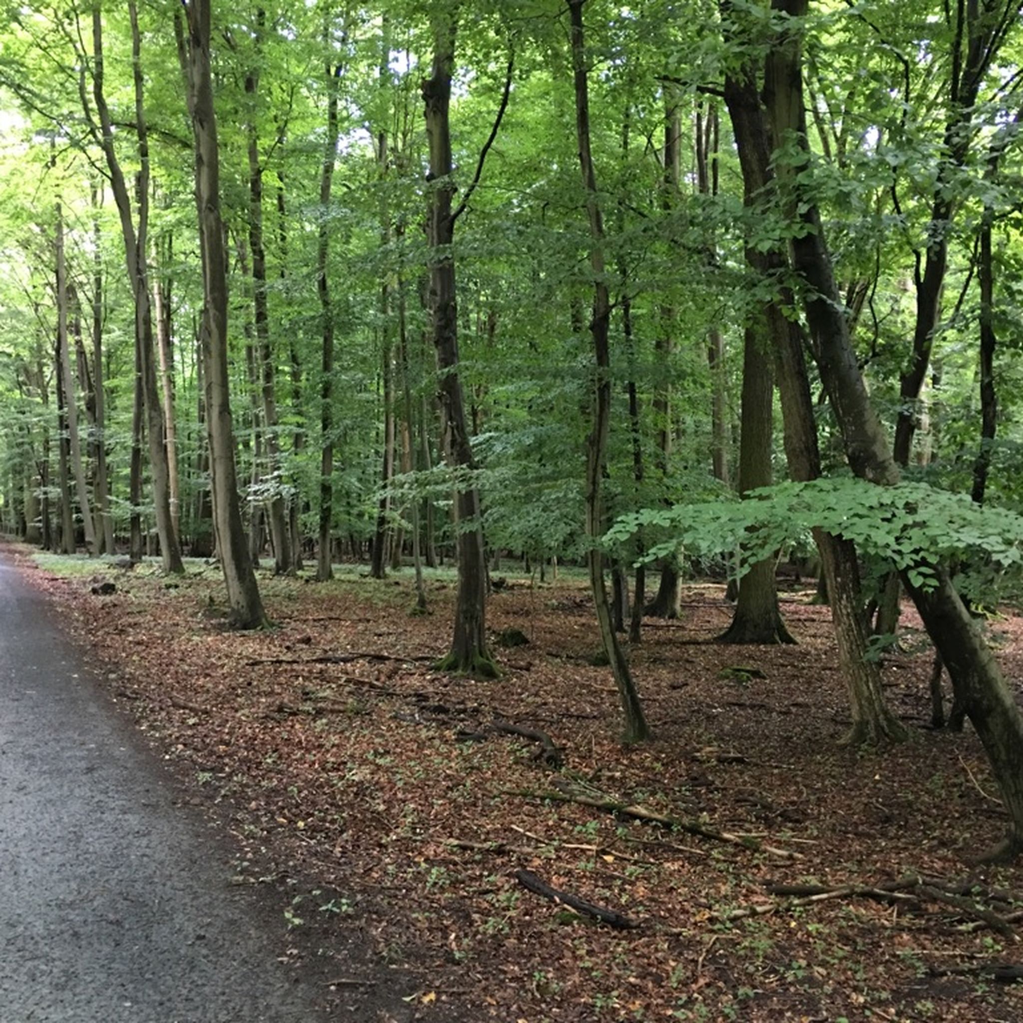
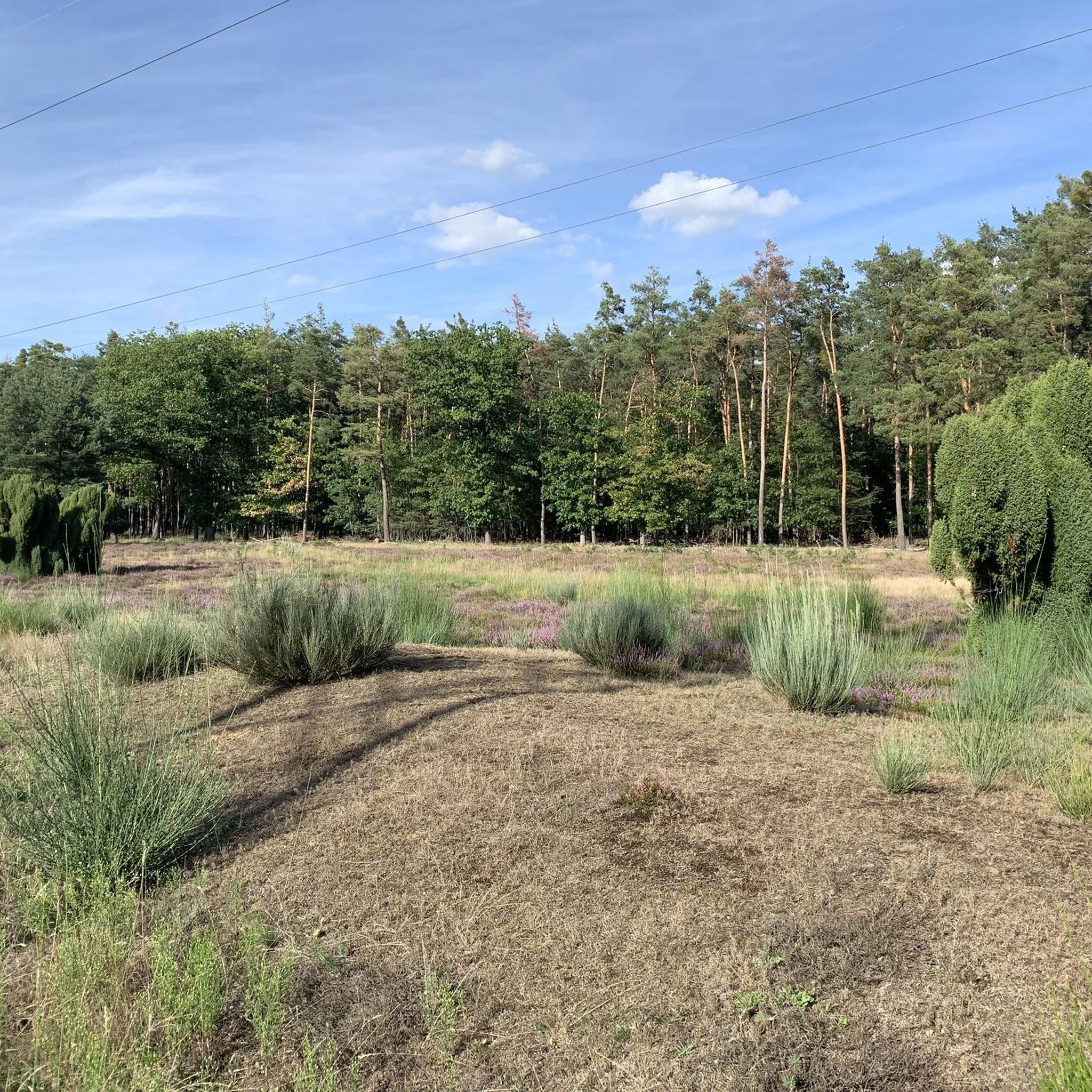
Other adventures around Rüsselsheim am Main

Tips from the Community

The Main, with a total length of 527 kilometers, is the longest right tributary of the Rhine and one of Germany's most important rivers. It originates with its two headwaters (White and Red Main) in Bavaria and flows in characteristic loops from east to west. Its long journey ends at the so-called Mainspitze, where it flows into the Rhine exactly between Ginsheim-Gustavsburg and the Wiesbaden district of Mainz-Kostheim, directly opposite Mainz's old town.
13
0
With a total length of 527 kilometers, the Main is the longest right-hand tributary of the Rhine and flows as a lifeline through the heart of the entire Rhine-Main region. It officially originates near Kulmbach in Bavaria through the confluence of its two source rivers, the Red Main and the White Main. On its westward journey, the river winds in characteristic loops through Franconia and Hesse, past major metropolises such as Würzburg, Offenbach, and Frankfurt, before finally flowing into the Rhine near Mainz-Kastel (opposite Mainz). For the region, the Main holds immense economic importance as a major shipping route, as it forms a continuous waterway from the North Sea to the Black Sea via the Main-Danube Canal. In addition to its industrial role, the river has been transformed over the past decades into one of the most important areas for local recreation and culture. Kilometers of green spaces stretch along its banks, such as the Frankfurt Mainufer or the promenades in Rüsselsheim and Höchst, offering space for sports, gastronomy, and relaxation. The popular, largely flat Main Cycle Path accompanies the river along its entire length, connecting historic old towns, wine regions, and modern cityscapes. Furthermore, the river significantly shapes the region's climate and nature and serves as a habitat for numerous protected water birds and fish species.
9
0
Historical Age: The bridge was built around 1877 (twelve years after the harbor opened) and is today considered one of the oldest still preserved swing bridges in all of Germany. For this reason, the steel truss construction is an important cultural monument under strict heritage protection. Technical Dimensions & Function: The structure has a length of 37.50 meters, a width of 4.50 meters, and weighs around 54 tons. The original mechanical rotation mechanism ensured for decades that the bridge could be swung to the side at any water level to allow larger ships to pass into the harbor basin. Modernization: After the historical rotation mechanism was irreparably damaged and jammed in 1996, the bridge was fundamentally reconstructed in 2009. The historical appearance of the top chords was preserved, while the outdated mechanics were replaced by a state-of-the-art hydraulic rotation system. Location & Significance: It connects the Stresemann-Ufer (Old Town side near the Hyatt Hotel) directly with the Victor-Hugo-Ufer on the upstream mole. Today, it serves exclusively as an important, highly frequented connection for pedestrians and cyclists and is an integral part of recreational routes such as the popular Mainzer Drei-Brücken-Weg.
8
1

nice place to take a break
0
0
7
0
The Leinreiter is a bronze sculpture created in 1993 by the Darmstadt sculptor Detlef Kraft, which stands in Rüsselsheim am Main on the landing stage on the banks of the Main River.
8
0
The Mainz South Bridge (also known as the Mainz-South Railway Bridge, and at times as the Mainz-Gustavsburg Railway Bridge) is a railway bridge on the Mainz–Frankfurt railway line, spanning the Rhine at river kilometer 496.4 and connecting Mainz in Rhineland-Palatinate with Gustavsburg in Hesse. A footbridge attached to the north side of the bridge allows pedestrians and cyclists to cross the river.
17
2
From the railway bridge you have a magnificent view of the entire region, especially Mainz and the Taunus
11
0
Frequently Asked Questions
How many touring cycling routes are available around Rüsselsheim am Main?
There are over 150 touring cycling routes around Rüsselsheim am Main. The majority are easy, with 108 routes, complemented by 28 moderate and 15 difficult options, catering to a wide range of cycling abilities.
What is the typical terrain like for touring cycling in Rüsselsheim am Main?
The terrain for touring cycling in Rüsselsheim am Main is predominantly flat and features well-maintained paths, especially along the Main and Rhine rivers. This makes the region ideal for relaxed rides and accessible to cyclists of all levels.
Are there family-friendly touring cycling routes in Rüsselsheim am Main?
Yes, Rüsselsheim am Main offers many family-friendly touring cycling routes. The flat and well-maintained river paths, such as the Main riverbank path at the bird island – Ölhafen Bridge Raunheim loop from Rüsselsheim, are perfect for families looking for an easy and enjoyable ride.
What kind of natural features can I expect to see along the cycling routes?
Cycling routes in Rüsselsheim am Main often feature scenic views of the Main and Rhine rivers, vineyards, and green spaces. You can also explore areas like the Main estuary where the Main meets the Rhine, or pass by the Mainspitze. The nearby Mönchbruch Nature Reserve also offers opportunities for birdwatching and enjoying nature.
Are there any circular touring cycling routes in the area?
Yes, many touring cycling routes around Rüsselsheim am Main are designed as loops. Examples include the Main riverbank path at the bird island – Ölhafen Bridge Raunheim loop from Rüsselsheim and the View of Hochheim Vineyards – Vineyard at Falkenberg loop from Wiesen "Blauer See", which offer convenient starting and ending points.
What are some notable landmarks or points of interest along the cycling paths?
Along the cycling paths, you can encounter various points of interest. These include bridges like the Ölhafen Bridge Raunheim, and natural viewpoints such as the Flörsheimer Watchtower. The routes also offer views of the Rhine Cycle Path at the Roter Hang vineyards.
What do other touring cyclists enjoy most about cycling in Rüsselsheim am Main?
The touring cycling routes in Rüsselsheim am Main are highly rated by the komoot community, with an average score of 4.5 stars from over 750 reviews. Cyclists frequently praise the flat terrain, the extensive river-based networks along the Main and Rhine, and the scenic views of vineyards and green spaces.
Can I find routes that are more challenging than the easy riverside paths?
While many routes are easy, Rüsselsheim am Main also offers more challenging options. There are 15 difficult routes and 28 moderate routes available. For example, the Meadow Path to Erbenheim – View of Mainz Cathedral loop from Rüsselsheim is a moderate route that covers a longer distance and offers varied scenery.
What is the best time of year to go touring cycling in Rüsselsheim am Main?
The flat and well-maintained paths along the rivers make touring cycling enjoyable for much of the year. Spring and autumn offer pleasant temperatures and beautiful scenery, especially with the vineyards. Summer is also popular, though it can be warmer, making the riverside paths with their gentle breezes particularly appealing.
Are there any routes that pass through nature reserves?
Yes, some routes allow you to experience the local nature reserves. For instance, the Mönchbruch Pond – Mönchbruch Hunting Lodge loop from Wiesen "Blauer See" takes you near the Mönchbruch Nature Reserve, known for its forests and opportunities for birdwatching.
How long do touring cycling routes typically take in this region?
The duration of touring cycling routes varies depending on their length and your pace. Many easy routes, like the Ginsheim Bike Path – Mainspitze loop from Bauschheim (14.3 miles), can be completed in about 1 hour 23 minutes. Longer, moderate routes will naturally take more time, such as the Meadow Path to Erbenheim – View of Mainz Cathedral loop from Rüsselsheim (27.3 miles), which typically takes over 2.5 hours.
Is it possible to connect to larger regional cycling networks from Rüsselsheim am Main?
Absolutely. Rüsselsheim am Main is well-integrated into extensive river-based cycling networks. You can easily connect to the Main Cycle Path and the Rhine Cycle Path, allowing for longer journeys and exploration of the wider Rhein-Main region. The Nidda Cycle Path is also accessible, following the Nidda river for over 100 kilometers.
Most popular routes around Rüsselsheim am Main
Most popular attractions around Rüsselsheim am Main

Get inspired with the komoot mobile app


Explore more
Browse the best Cycling routes in other regions.
