The best running trails around Vezza D'Oglio
4.7
(15)
1,257
runners
23
runs
Jogging routes around Vezza D'Oglio offer diverse terrain within the upper Val Camonica, nestled in the Adamello Alps. The region features an alpine environment with high peaks and meadows, alongside the Oglio River which provides opportunities for gentler riverside runs. Spruce forests are characteristic of the area, contributing to scenic trails. The landscape provides options ranging from mostly paved surfaces for casual runs to more demanding alpine routes with significant elevation gains.
Best jogging routes around Vezza D'Oglio
- The most…
Last updated: August 2, 2026
83
runners
Moderate run. Good fitness required. Mostly paved surfaces. Suitable for all skill levels.
67
runners
Moderate run. Good fitness required. Mostly paved surfaces. Suitable for all skill levels.

Sign up for free
58
runners
21.6km
02:22
380m
380m
Hard run. Very good fitness required. Mostly paved surfaces. Suitable for all skill levels.
27
runners
9.74km
01:02
130m
130m
Moderate run. Good fitness required. Mostly paved surfaces. Suitable for all skill levels.
15
runners
Moderate run. Good fitness required. Mostly paved surfaces. Suitable for all skill levels.
Get access to more routes and recommendations from other explorers.
Sign up for free
Already have an account?
Our route recommendations are based on thousands of hikes, rides, and runs completed by other people on komoot.
Start today with a free account
Your next adventure awaits.
Login or Signup
Popular around Vezza D'Oglio
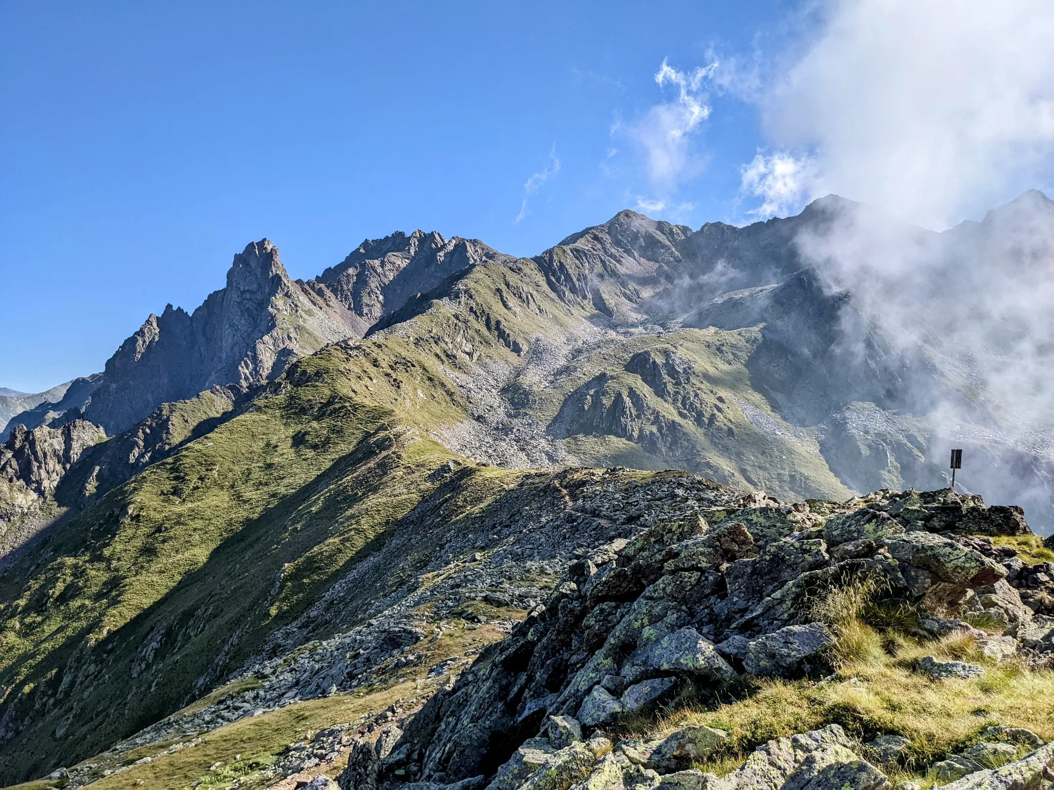
Between history and nature in Val Camonica – Adamello Ultra Trail

Peaks, rock carvings and mountain huts – hike Italy’s Val Camonica
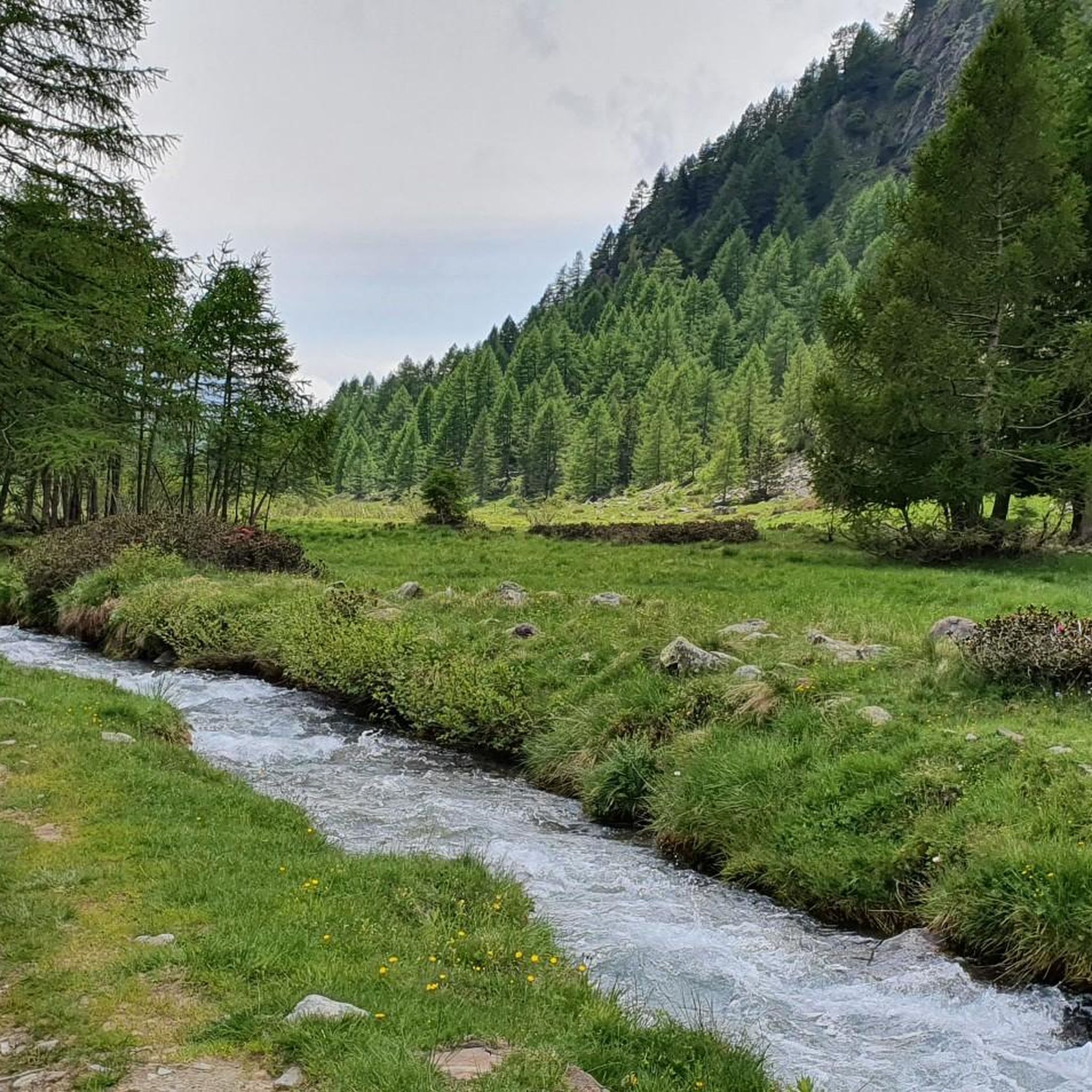
Hiking around Vezza D'Oglio
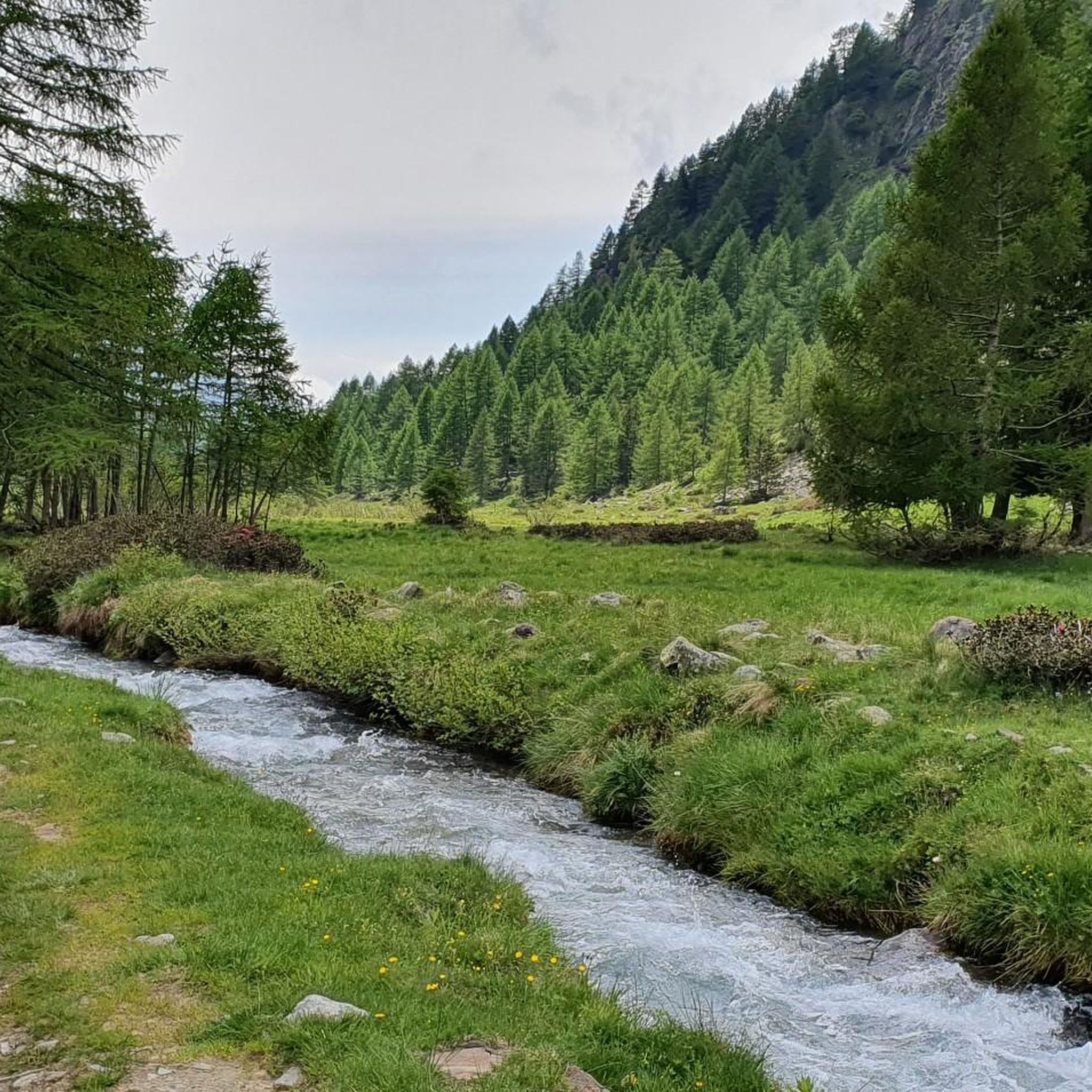
Road Cycling Routes around Vezza D'Oglio
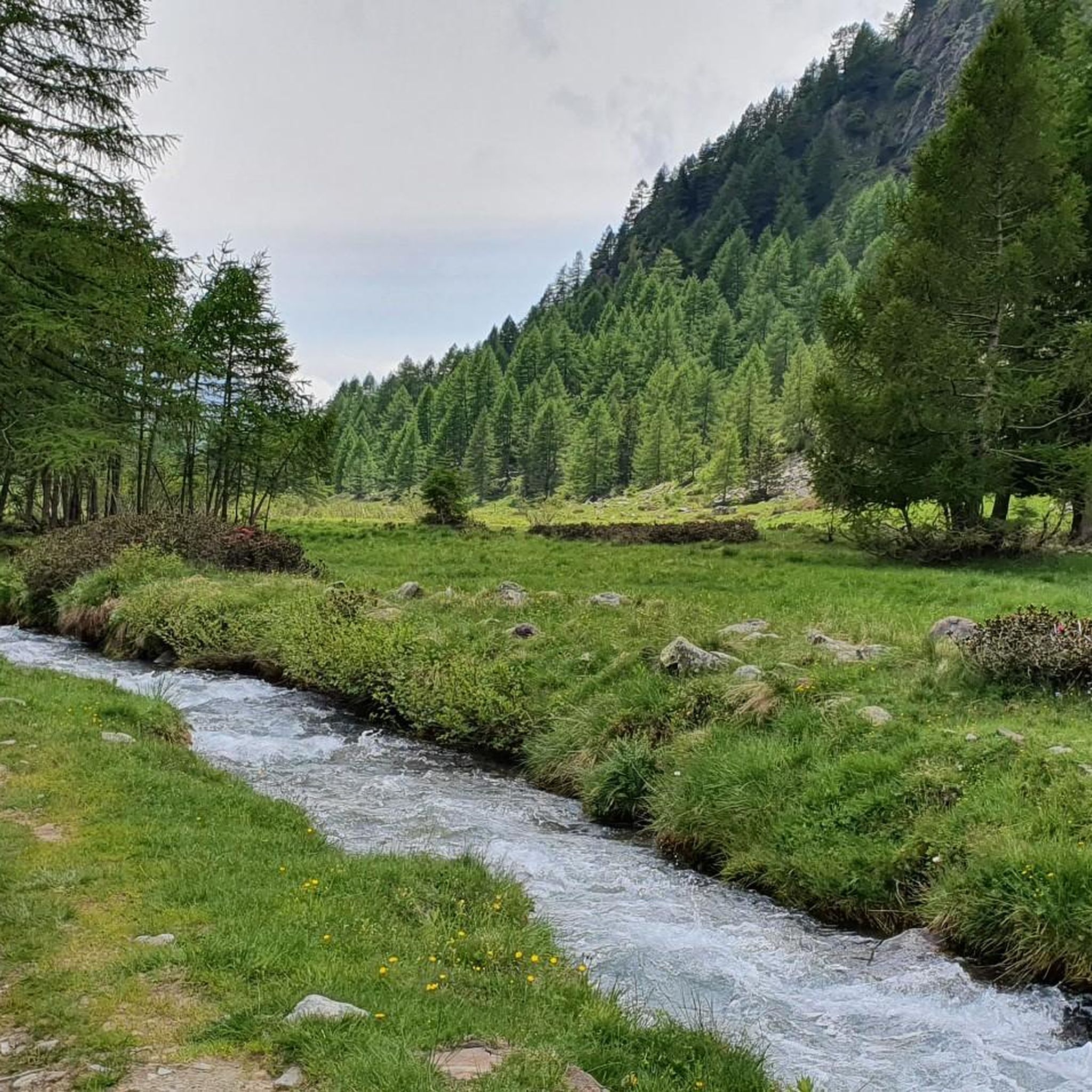
MTB Trails around Vezza D'Oglio
Cycling around Vezza D'Oglio

Gravel biking around Vezza D'Oglio

Mountain Hikes around Vezza D'Oglio


Tips from the Community

from Vezza d'Oglio onwards, it is very reminiscent of the Sentiero Valtellina - Approved !!!
0
0

hike to wooden bridge
0
0

This stretch of compact dirt road that becomes asphalted between Temu and Ponte di Legno offers pleasant passages in the woods.
0
0
Ponte di Legno is a municipality located at the northern end of the Camonica valley, between Lombardy and Trentino. Its name derives from two factors: "Ponte" because it has always represented a point for crossing the Oglio, and "di Legno", which derives from the ancient name of the upper valley, "Dalania", as attested by Carlo's donation Magnus of 774 AD.
2
0
The Camonica valley cycle and pedestrian path winds through natural landscapes and inhabited centers such as Breno, Darfo Boario Terme and Pisogne. The surface is asphalted, on its own site or on low-traffic roads. Along the route there are several areas equipped for rest, with fountains and picnic tables.
1
0

Near Vezza d'Oglio, a municipality of around 1,500 inhabitants in Valcamonica, this bridge over the Val Grande stream is located on the cycle path that leads to Temù and beyond. The bridge is made of wood and perfect for any type of bicycle.
2
0

Nice little place, climb to the Gaviapass or the Tonale. Right at the start of the Oglio cycle path.
0
0
Beautiful cycle path in the Oglio Valley. More info: https://www.cicloviadelloglio.it/
5
1
Frequently Asked Questions
What kind of running terrain can I expect around Vezza D'Oglio?
Vezza D'Oglio offers a diverse range of terrain for runners. You'll find everything from mostly paved surfaces suitable for casual jogs along the Oglio River to more demanding alpine routes with significant elevation gains in the Adamello Alps. The area is characterized by stunning mountain vistas, spruce forests, and high peaks and meadows, providing varied and engaging landscapes for all fitness levels.
Are there running routes suitable for beginners or those looking for an easier jog?
Yes, Vezza D'Oglio caters to various abilities. While there are challenging alpine routes, you can also find easier paths, particularly along the Oglio River. These gentler riverside walks are perfect for less strenuous jogs or for those new to trail running.
What kind of natural features and views can I enjoy while running in Vezza D'Oglio?
Runners in Vezza D'Oglio are treated to breathtaking alpine scenery, including high peaks and meadows within the Adamello Alps. The Oglio River valley offers serene riverside views, and many trails wind through characteristic spruce forests. Keep an eye out for wildlife like deer, especially between September and October.
Are there any circular running routes available?
Yes, many of the running paths around Vezza D'Oglio are designed as loops. For example, the Roccolo di Santa Giulia – Picnic Area in Vezza d'Oglio loop and the Picnic Area in Vezza d'Oglio loop are popular moderate options that allow you to start and finish in the same location.
What are some interesting landmarks or attractions I might encounter on the trails?
While running, you might pass by historical military trails that offer a glimpse into the region's past. The area is also a gateway to the Parco dell'Adamello and Stelvio National Park, offering extensive natural beauty. For specific points of interest, consider exploring highlights like Castello Visconteo and Rupe Magna or Torre di Vione, which are part of the rich historical landscape surrounding Vezza D'Oglio.
Can I bring my dog on the running trails in Vezza D'Oglio?
The Adamello Regional Park, which encompasses much of the area around Vezza D'Oglio, generally welcomes dogs on trails, provided they are kept on a leash to protect wildlife and ensure the safety of other visitors. It's always a good idea to check specific park regulations or trail signs for any restrictions before heading out with your canine companion.
When is the best time of year to go running in Vezza D'Oglio?
The diverse terrain means running is possible for much of the year. Spring and autumn offer pleasant temperatures and beautiful scenery, with opportunities to spot wildlife in the fall. Summer is ideal for higher alpine routes. While winter running is possible, especially on lower, cleared paths, some higher elevation trails may require specific gear or experience due to snow and ice.
How many running routes are available in the Vezza D'Oglio area?
There are over 20 dedicated running routes around Vezza D'Oglio listed on komoot, ranging from easy to difficult. This provides a wide selection for runners of all experience levels looking to explore the Val Camonica and Adamello Alps.
What do other runners say about the trails in Vezza D'Oglio?
The running routes in Vezza D'Oglio are highly rated by the komoot community, with an average score of 4.8 stars from 20 reviews. Over 1600 runners have used komoot to explore the varied terrain, often praising the stunning alpine scenery, the diversity of trails, and the well-maintained paths.
Are there any challenging long-distance running routes for experienced athletes?
Absolutely. For experienced runners seeking a significant challenge, routes like the Picnic area with a beautiful view – Lago del Mortirolo loop from Vezza d'Oglio offer extensive alpine views over 27 miles (44.5 km) with substantial elevation gains. Another demanding option is the Cima Rovaia – Bivacco Plassa Gerù loop from Vezza d'Oglio, which covers over 26 miles (43.4 km) with even greater elevation changes.
Are there any places to stop for a break or refreshments along longer running routes?
Yes, for longer runs or hikes, you might find spots like Rifugio Antonioli, which offers traditional local products such as cheeses and meats. These mountain huts provide ideal resting points with scenic views, making your extended runs more enjoyable.
What are the typical elevation changes on running trails in Vezza D'Oglio?
Elevation changes vary significantly depending on the route. Easier riverside paths might have minimal elevation gain, while challenging alpine routes can feature substantial climbs. For instance, the Lago del Mortirolo loop involves over 2,200 meters of ascent, providing a rigorous workout for those seeking significant elevation.
Most popular routes around Vezza D'Oglio
Most popular attractions around Vezza D'Oglio

Get inspired with the komoot mobile app


Explore more
Browse the best Running Trails & Routes in other regions.
