The best road cycling routes around Ripalta Guerina
3.8
(271)
3,352
riders
188
rides
Road cycling around Ripalta Guerina is characterized by its location in the flat, river-rich Po Valley, within the Province of Cremona, Lombardy. The region features a vast plain interwoven with the Po, Serio, Adda, and Oglio rivers, alongside numerous canals, creating a predominantly flat terrain. This landscape, with an average altitude of 72 meters, is ideal for long, uninterrupted rides through agricultural areas and along waterways. The network of routes often passes through historic towns and natural parks, offering varied scenery for road cyclists.
Best road cycling routes around Ripalta Guerina
- The most popular road cycling route is Parish Church of Gombito – Torre del Guado loop from Madignano, a 38.0 miles (61.1 km) trail that takes 2 hours 34 minutes to complete. This moderate route offers extensive riding through the flat plains of the region.
- Another top favourite among local road cyclists is Sergnano Bridge – Porta Ombriano loop from Madignano, a moderate 32.9 miles (53.0 km) path. This route provides scenic views along riverbanks and through cultivated fields.
- Local road cyclists also love the Mill Museum in Madignano – Castelleone loop from Montodine, a 17.9 miles (28.9 km) trail leading through the agricultural landscape, often completed in about 1 hour 12 minutes.
- Road cycling around Ripalta Guerina is defined by its flat terrain, riverine landscapes, and agricultural plains. The network offers options for easy to moderate ability levels, with routes often passing through historic towns and natural areas.
- The routes in Ripalta Guerina are highly rated by the komoot community with an average score of 4.0 stars from over 200 reviews. More than 3000 road cyclists have used komoot to explore Ripalta Guerina's varied terrain.
Last updated: November 1, 2026
3.3
(3)
60
riders
59.3km
02:29
120m
120m
Moderate road ride. Good fitness required. Mostly well-paved surfaces and easy to ride.
5.0
(1)
32
riders
113km
04:45
610m
610m
Moderate road ride. Good fitness required. Mostly well-paved surfaces and easy to ride.

3.0
(1)
27
riders
Easy road ride. Mostly well-paved surfaces and easy to ride.
5.0
(4)
41
riders
91.8km
03:52
390m
390m
Moderate road ride. Good fitness required. Mostly well-paved surfaces and easy to ride.
4.0
(3)
45
riders
Moderate road ride. Some segments of this route may be unpaved and difficult to ride.
Get access to more routes and recommendations from other explorers.
Already have an account?
Our route recommendations are based on thousands of hikes, rides, and runs completed by other people on komoot.
Start today with a free account
Your next adventure awaits.

Tips from the Community

The Sanctuary of the Blessed Virgin of Pallavicina is an ancient Marian place of worship located in Izano, in the province of Cremona. Main Information Where it is located: Viale Pallavicina in Izano (CR), along the road between Crema and Salvirola. Origins: It dates back to before 1400 and houses a fresco of the Madonna and Child from 1444 in the apse. The name derives from the nearby Pallavicina canal.
0
0
The Ramp on Via Collada in San Colombano al Lambro (MI) is a climb of about 700-1160 meters that starts right by the castle walls. It is known for its challenging average gradient of ~17% and peaks exceeding 20%] Length: Approximately 1.16 km (with a steep initial section of ~ 500 meters). Elevation gain: ~ 199 meters. Average gradient: 17.12%. Maximum gradient: Very steep, suitable for intense training (MTB/road bike climb category).
1
0
The Ciaparat Chapel is a landmark mainly known on road cycling routes around Sant'Angelo Lodigiano and the Parco Agricolo Sud Milano, often included in loop itineraries between Bascapè, Locate Triulzi, and Vistarino. It is a popular area for moderate road bike training, with asphalted roads.
1
0

Characteristic port of the fishermen of Lake Iseo.
0
0

Classic climb of the San Colombano hills
1
0

A modern and eye-catching bridge over the Serio River to enter the center of Crema.
0
0
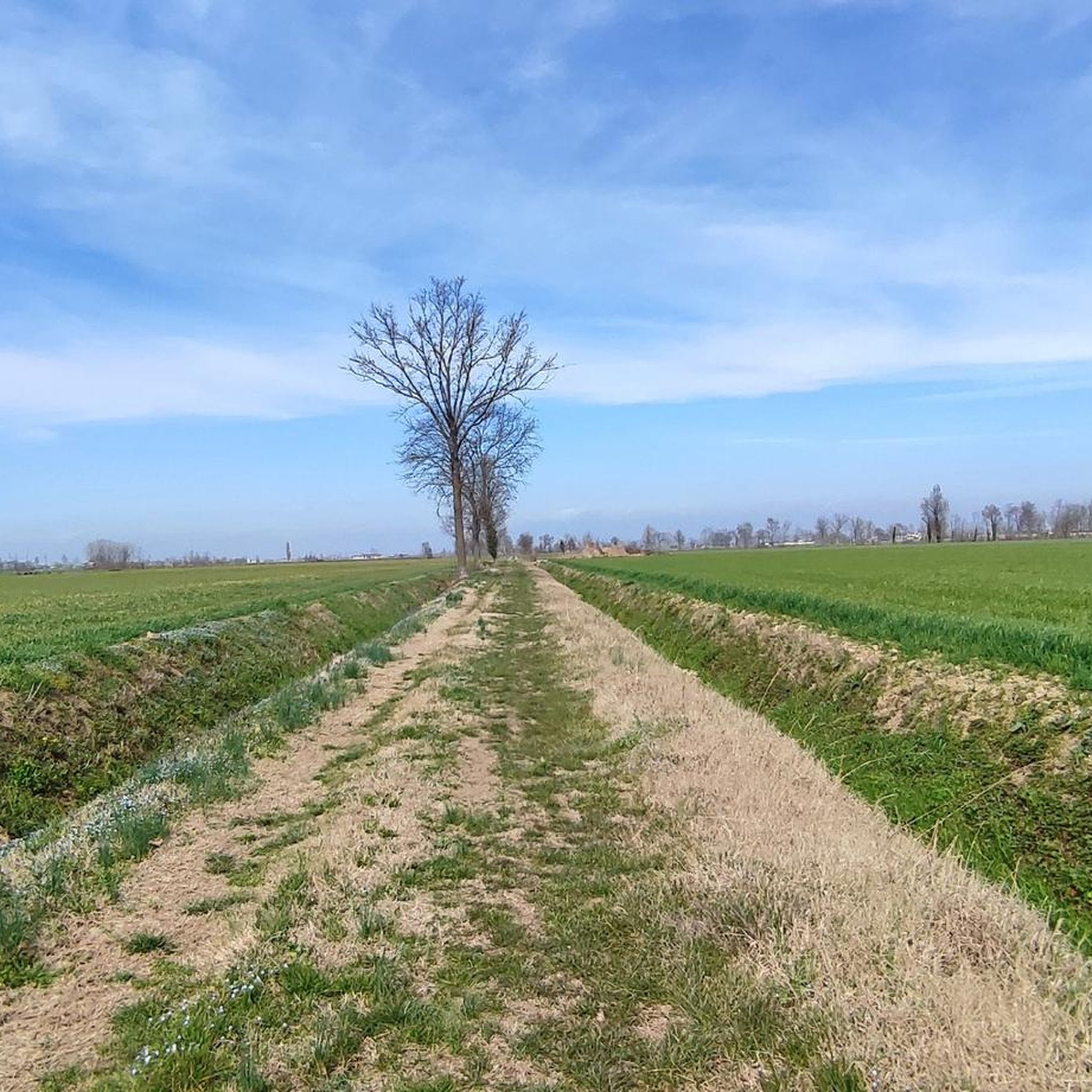
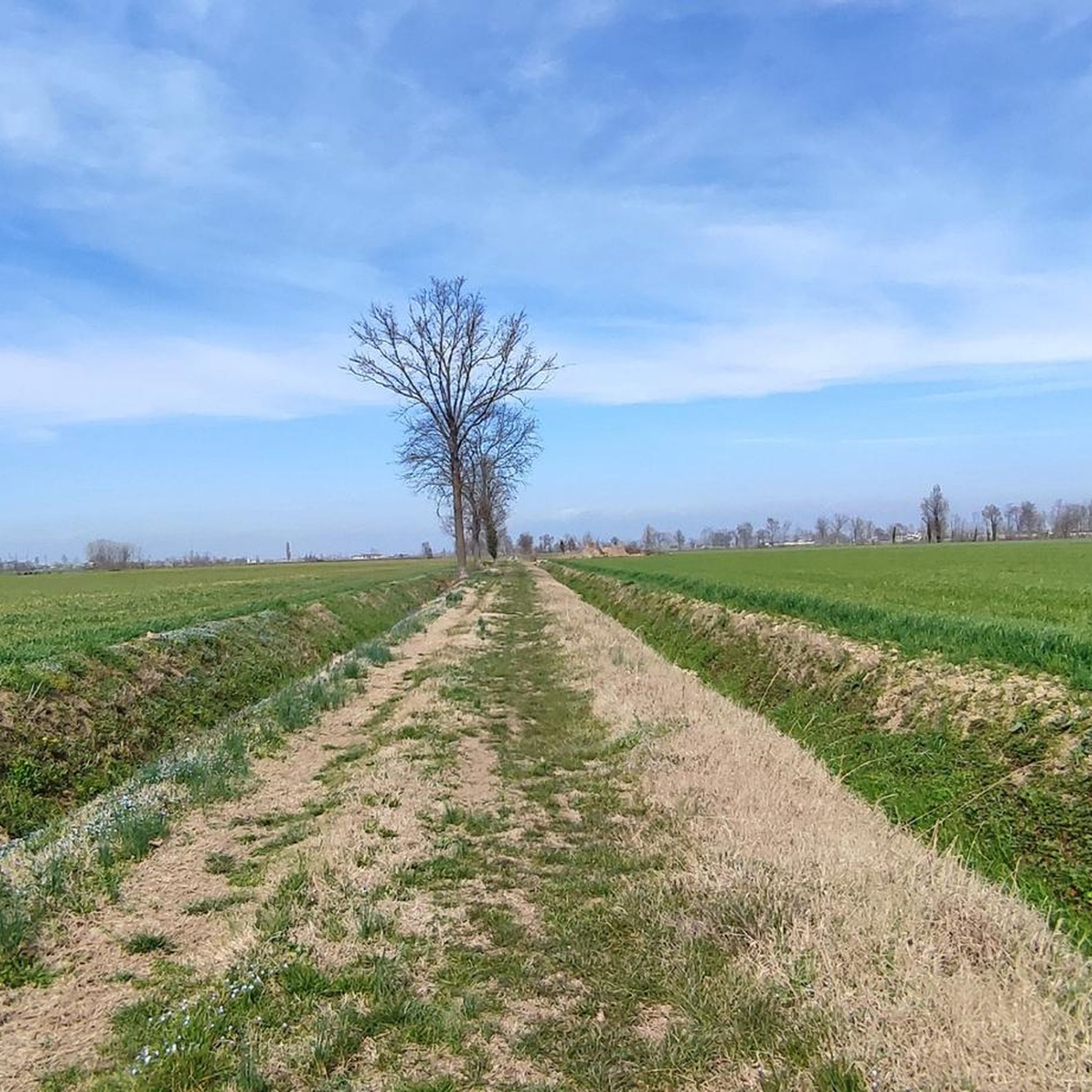
Beautiful little roads that can be cycled on both road and gravel, all away from traffic.
2
0
Splendid example of Romanesque architecture with terracotta bricks.
2
0
Frequently Asked Questions
What kind of terrain can I expect when road cycling around Ripalta Guerina?
The region around Ripalta Guerina is situated in the flat, river-rich Po Valley, characterized by a vast plain interwoven with the Po, Serio, Adda, and Oglio rivers, and numerous canals. This results in a predominantly flat terrain, ideal for long, uninterrupted rides through agricultural areas and along waterways. The average altitude is around 72 meters.
Are there many road cycling routes to choose from in the Ripalta Guerina area?
Yes, there are numerous options for road cyclists. Komoot lists over 170 road cycling routes around Ripalta Guerina, catering to various preferences and skill levels.
What are the typical difficulty levels for road cycling routes near Ripalta Guerina?
The routes in this area are generally suited for easy to moderate ability levels, given the flat topography. While most routes are moderate, you can find over 50 easy routes for a relaxed ride, and a few more challenging options for those seeking a bit more intensity.
What kind of natural scenery can I enjoy on a road bike around Ripalta Guerina?
You can enjoy diverse natural scenery, including routes along the banks of the Serio, Adda, and Oglio rivers, often featuring dedicated cycling paths. The area also includes parts of the Serio Regional Park and Adda Sud Regional Park, offering scenic rides through cultivated fields and natural riverine landscapes. The Oglio Sud Regional Park, with its acclaimed Greenway, is another highlight.
Are there any historical landmarks or interesting towns to visit along the road cycling routes?
Absolutely. Many routes pass through charming small villages and historic towns. You can cycle through areas with impressive 16th-century walls like Pizzighettone, or explore towns like Crema, known for its Renaissance and Baroque architecture. The provincial capital, Cremona, renowned for violin making, is also accessible and offers architectural treasures like the Piazza del Duomo and Torrazzo.
What are some specific attractions I can see near the road cycling routes?
You can explore various points of interest. Consider visiting the Canale Vacchelli Cycle Path, or historical religious sites like the Sanctuary of Santa Maria del Marzale and the Basilica of Saint Mary of the Cross. For natural beauty, the Reflection Lake in Ricengo is a peaceful spot.
What do other road cyclists think about the routes in Ripalta Guerina?
The road cycling routes around Ripalta Guerina are highly regarded by the komoot community, with an average rating of 4.0 stars from over 200 reviews. More than 3,000 road cyclists have used komoot to explore the area, often praising the flat, scenic routes along rivers and through agricultural plains.
Are there any circular road cycling routes available?
Yes, many routes in the area are designed as loops, offering convenient circular rides. For example, the Parish Church of Gombito – Torre del Guado loop from Madignano is a popular moderate option, and the Sergnano Bridge – Porta Ombriano loop from Madignano also provides a scenic circular experience.
What is the best time of year to go road cycling in Ripalta Guerina?
The flat terrain makes road cycling enjoyable for much of the year. Spring and autumn generally offer the most pleasant temperatures for longer rides. Summer can be warm, but early mornings or late afternoons are still suitable. Winter cycling is possible, but be prepared for cooler temperatures and potentially foggy conditions, especially along the rivers.
Are there any family-friendly road cycling options around Ripalta Guerina?
Given the predominantly flat terrain and the presence of dedicated cycling paths along rivers like the Canale Vacchelli, many routes are suitable for families. Look for routes classified as 'easy' on Komoot, such as the Mill Museum in Madignano – Castelleone loop from Montodine, which offers a gentle ride through the agricultural landscape.
Can I find amenities like cafes or places to stop along the road cycling routes?
Routes often pass through small towns and villages where you can find cafes, restaurants, and other services. The region's agricultural heritage also means you might encounter local farm shops. Planning your route in advance and checking for points of interest on Komoot can help you identify suitable stops.
Where are good starting points for road cycling in the Ripalta Guerina area?
Many routes start from towns and villages within the region, such as Madignano or Montodine, which are centrally located and offer access to various loops. These locations often have convenient parking options. You can also find routes that connect to larger towns like Cremona, offering more public transport links.
Most popular routes around Ripalta Guerina
Most popular attractions around Ripalta Guerina

Get inspired with the komoot mobile app


Explore more
Browse the best Road cycling routes in other regions.
