The best mountain hikes around Villanuova Sul Clisi
4.3
(26)
165
hikers
9
hikes
Mountaineering routes around Villanuova Sul Clisi are situated in the province of Brescia, Lombardy, Italy, offering diverse terrain for outdoor enthusiasts. The region is characterized by mountainous landscapes, including peaks like Monte Selvapiana and Monte Renico, and is influenced by the River Chiese. Trails often provide varied elevation and lead to viewpoints overlooking Lake Garda, presenting options for different levels of mountaineering. The area features a network of paths that traverse both forested areas and more open mountain sections.
Best…
Last updated: July 18, 2026
4.7
(3)
10
hikers
9.68km
03:29
490m
490m
Moderate mountaineering route. Good fitness required. Mostly accessible paths. Sure-footedness required.
3.0
(1)
5
hikers
18.1km
06:43
970m
970m
Hard mountaineering route. Very good fitness required. Mostly accessible paths. Sure-footedness required.

Sign up for free
4.5
(2)
10
hikers
20.9km
07:35
1,220m
1,220m
Hard mountaineering route. Very good fitness required. Mostly accessible paths. Sure-footedness required.
3
hikers
7.52km
03:02
450m
450m
Moderate mountaineering route. Good fitness required. Mostly accessible paths. Sure-footedness required.
6
hikers
12.7km
05:30
770m
770m
Hard mountaineering route. Very good fitness required. Sure-footedness, sturdy shoes and alpine experience required.
Get access to more routes and recommendations from other explorers.
Sign up for free
Already have an account?
Our route recommendations are based on thousands of hikes, rides, and runs completed by other people on komoot.
Start today with a free account
Your next adventure awaits.
Login or Signup
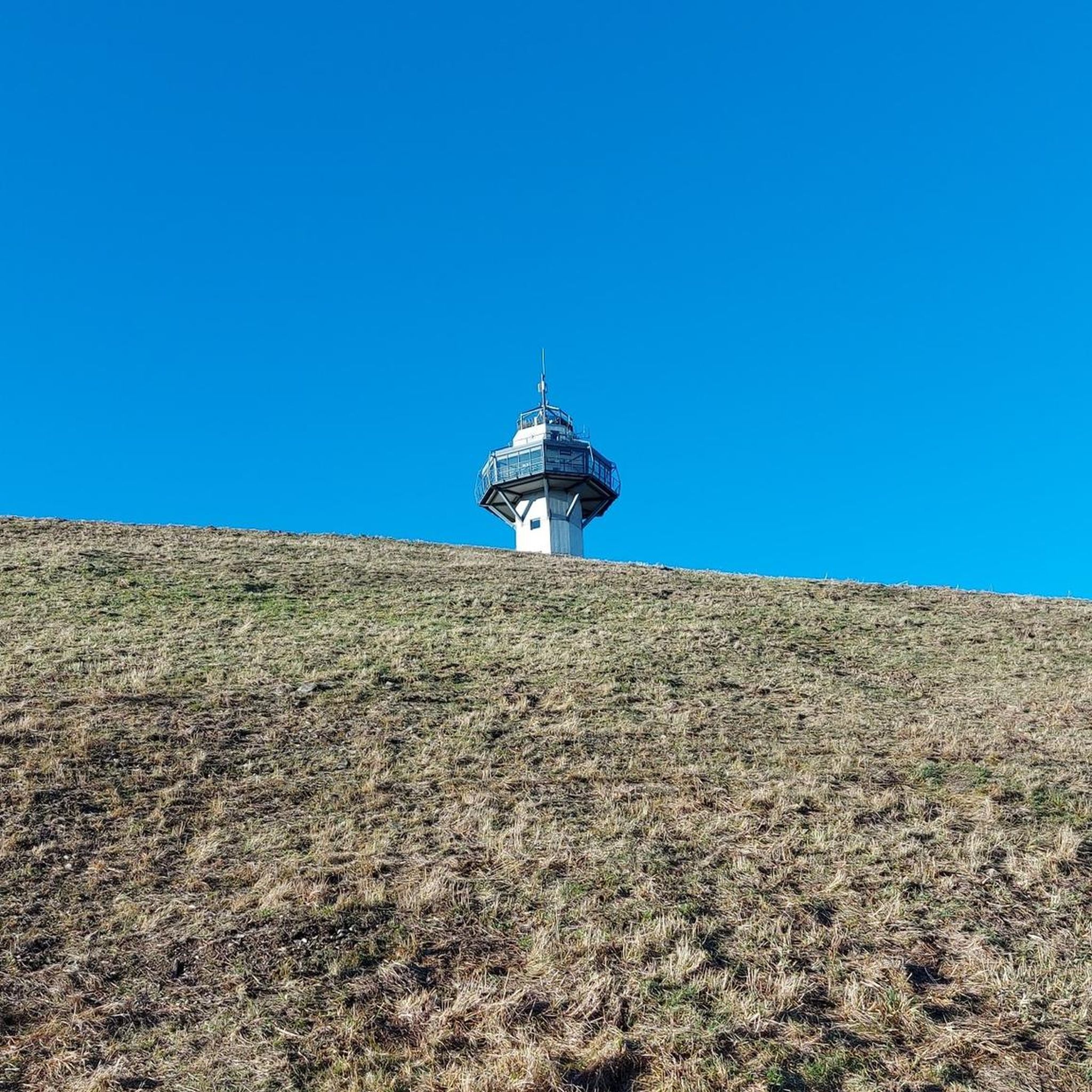
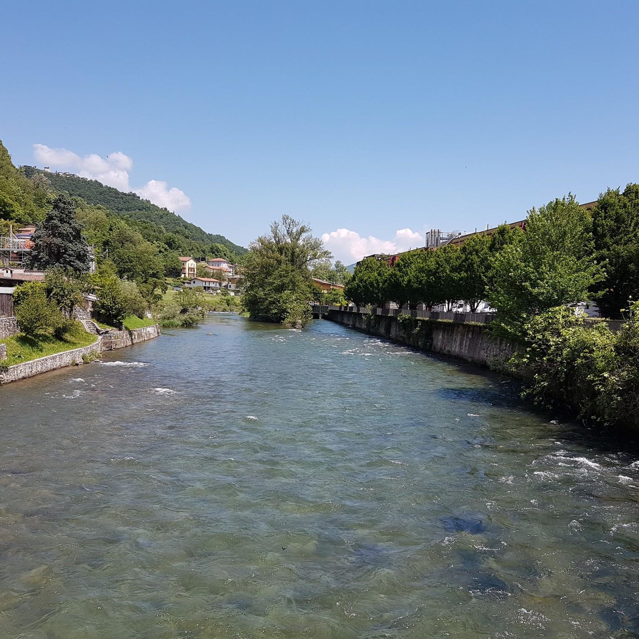
Tips from the Community

and it is very hard to climb, but when you reach the top all the effort is worth it.
0
0

360° views from the top of Pizzocolo
0
0
fork from where the various paths branch off
1
0

Beautiful to see and to photograph
0
0

To the right, the trail leads to the "SENTIERO ALPINISTICO TRE AMICI," which, according to bergsteigen.com, is supposed to be more difficult. But I wasn't wearing a helmet, it had rained the night before, and there are supposed to be steep grassy slopes, and I could still feel the effects of the three Campari Spritzers from the night before. So I continued straight ahead. From here, it's basically just steep walking terrain.
0
0

Beautiful waterfall behind the Madonna del Rio chapel.
3
0

The "Torre dell'Orologio" is actually the landmark of Salò. It's sometimes easily overlooked as the beautiful pedestrian zone begins here. Location: Piazza Angelo Zanelli, 20, 25087 Salò BS, Italy.
1
0

Frequently Asked Questions
How many mountaineering routes are available around Villanuova Sul Clisi?
There are 9 mountaineering routes around Villanuova Sul Clisi, offering a variety of experiences for outdoor enthusiasts. These routes are rated by the komoot community with an average score of 4.4 stars.
What are the difficulty levels of mountaineering routes in this region?
The routes around Villanuova Sul Clisi cater to various skill levels. You'll find 4 moderate routes and 5 difficult routes, including challenging summit ascents and technical terrain like via ferratas.
Are there any circular mountaineering routes available?
Yes, several routes are circular. For a moderate option, consider the Church of the Madonna del Rio – View of Salò and Lake Garda loop from Salò. If you're looking for a more challenging circular route, the Monte Pizzocolo Summit loop from Colomber offers extensive panoramic views.
What kind of views can I expect on these mountaineering routes?
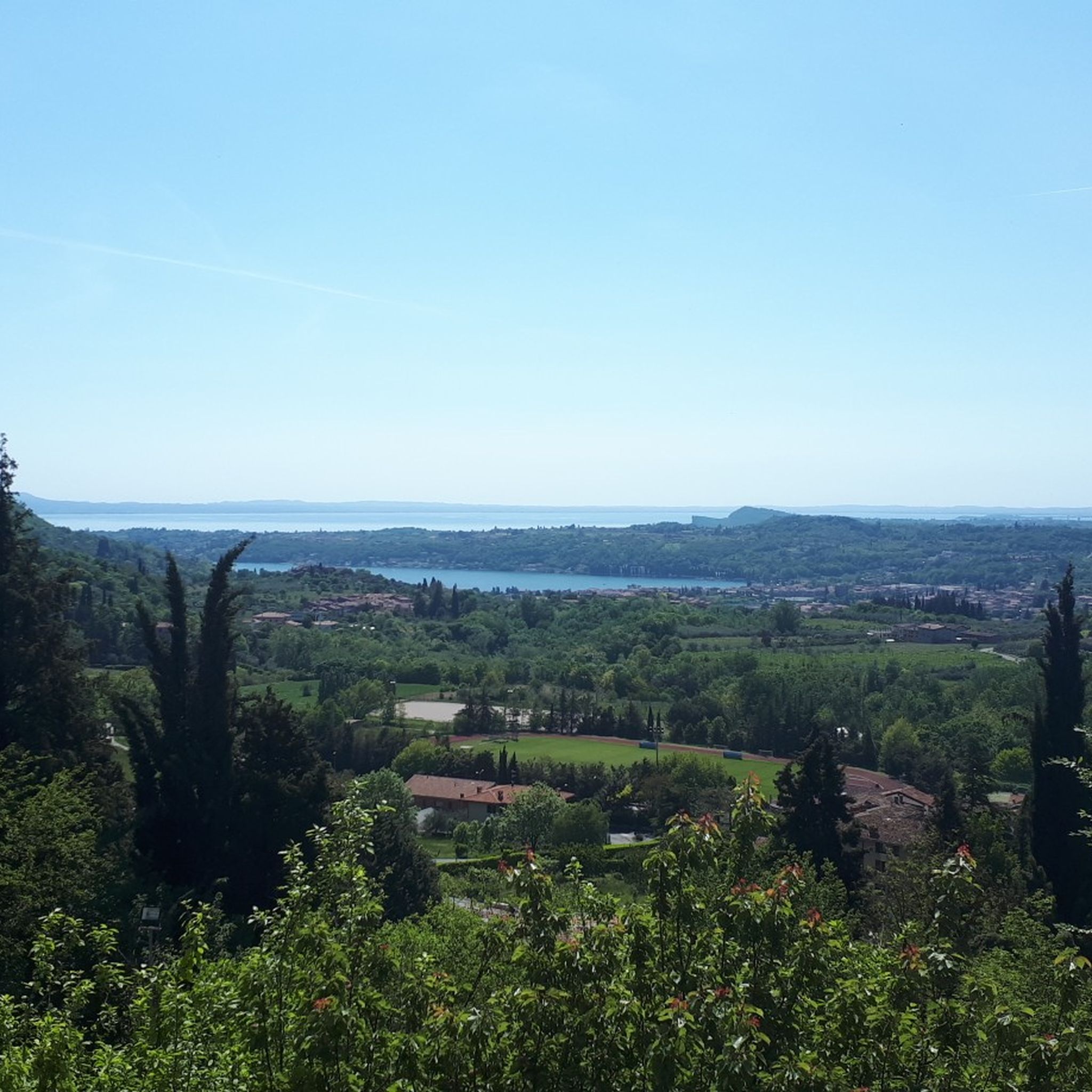
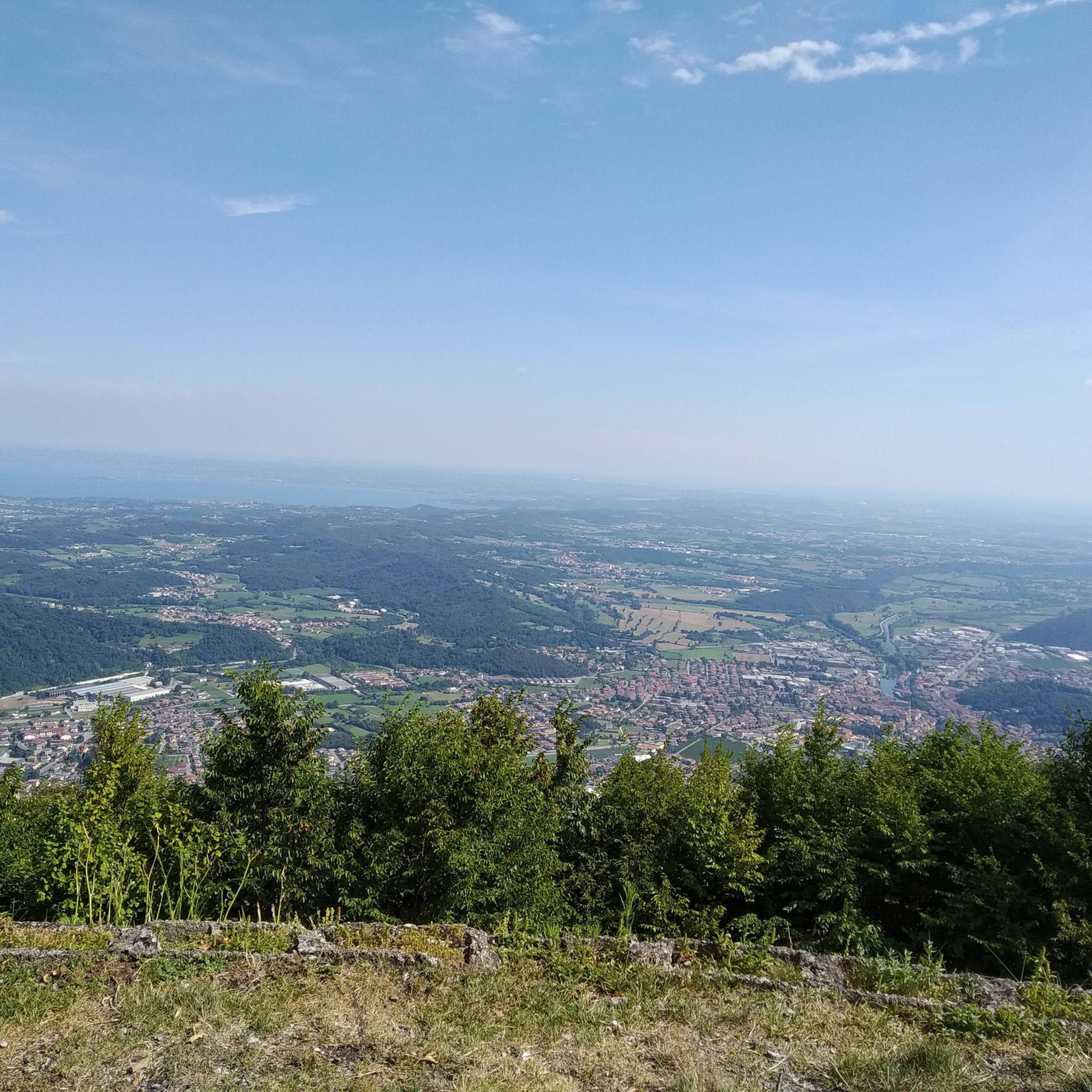
Many routes offer breathtaking panoramic views, particularly of Lake Garda and the surrounding Garda Pre-Alps. Peaks like Monte Pizzocolo provide expansive vistas extending to the Apennines on clear days. You can also expect to traverse dense forests and enjoy views of local hills and valleys.
Are there any waterfalls along the mountaineering trails?
Yes, the region's landscape includes natural features like waterfalls. You might encounter Cascata di Sanico along some hiking paths, adding a refreshing element to your mountaineering experience.
What are some notable attractions near the mountaineering trails?
Beyond the trails themselves, you can explore several attractions. The Rocca di Manerba del Garda offers expansive lake views, while the Punta Sasso Viewpoint is praised for its immense panorama. The Salò Promenade and Historic Center also provides a beautiful lakeside experience.
What is the best time of year for mountaineering in Villanuova Sul Clisi?
The Garda Pre-Alps region generally offers good conditions for mountaineering from spring through autumn. During these seasons, the weather is typically more stable, and trails are clear of snow, allowing for better access to higher elevations and panoramic viewpoints.
Are there any via ferratas in the area?
Yes, for those seeking a more technical challenge, the region offers routes that include via ferratas. An example is the Ferrata Spigolo delle Bandiera – Rifugio Piano Dallo Spino loop from Colomber, which involves technical terrain and takes approximately 5 hours 30 minutes to complete.
What do other mountaineers enjoy most about the routes around Villanuova Sul Clisi?
The area is highly rated by the komoot community, with an average score of 4.4 stars from over 20 reviews. Mountaineers often praise the diverse terrain, from dense forests to open mountain sections, and the rewarding lake views, especially from peaks like Monte Pizzocolo.
Are there options for less crowded mountaineering routes?
While some popular routes can see more traffic, the extensive network of trails around Villanuova Sul Clisi, including paths leading to Monte Selvapiana and Monte Renico, offers opportunities to find quieter sections, especially on weekdays or during off-peak hours. Exploring routes slightly further from the immediate lakefront can also lead to more serene experiences.
Are there any places to eat or drink near the mountaineering trails?
Villanuova Sul Clisi and nearby towns like Salò offer various cafes, pubs, and restaurants where you can refuel after your mountaineering adventure. Some trailheads or villages along the routes may also have smaller establishments, but it's always advisable to carry sufficient water and snacks.
Most popular routes around Villanuova Sul Clisi
Most popular attractions around Villanuova Sul Clisi

Get inspired with the komoot mobile app


Explore more
Browse the best Mountain Hikes & Routes in other regions.
