The best walks and hikes around Irma
4.4
(1809)
10,425
hikers
287
hikes
Hiking around Irma offers exploration through mountainous terrain and wooded valleys. The region is characterized by significant elevation changes, with routes traversing hills and leading to viewpoints over the Valle Trompia. Hikers can expect a landscape of dense forests, open mountain slopes, and varied paths.
Best hiking trails around Irma
- The most popular hiking route is 3V Trail - Stage 3, a 7.0 miles (11.2 km) trail that takes 4 hours 11 minutes to complete. This moderate route offers…
Last updated: November 8, 2026
4.5
(28)
102
hikers
11.2km
04:11
590m
590m
7
hikers
16.7km
06:11
980m
980m

4.4
(21)
122
hikers
10.1km
04:14
640m
640m
Moderate hike. Good fitness required. Mostly walkable paths. Sure-footedness required.
4.7
(14)
76
hikers
8.44km
03:03
420m
420m
Moderate hike. Good fitness required. Mostly walkable paths. Sure-footedness required.
4.3
(7)
24
hikers
5.37km
01:51
290m
290m
Moderate hike. Mostly walkable paths. Sure-footedness required.
Get access to more routes and recommendations from other explorers.
Already have an account?
Our route recommendations are based on thousands of hikes, rides, and runs completed by other people on komoot.
Start today with a free account
Your next adventure awaits.
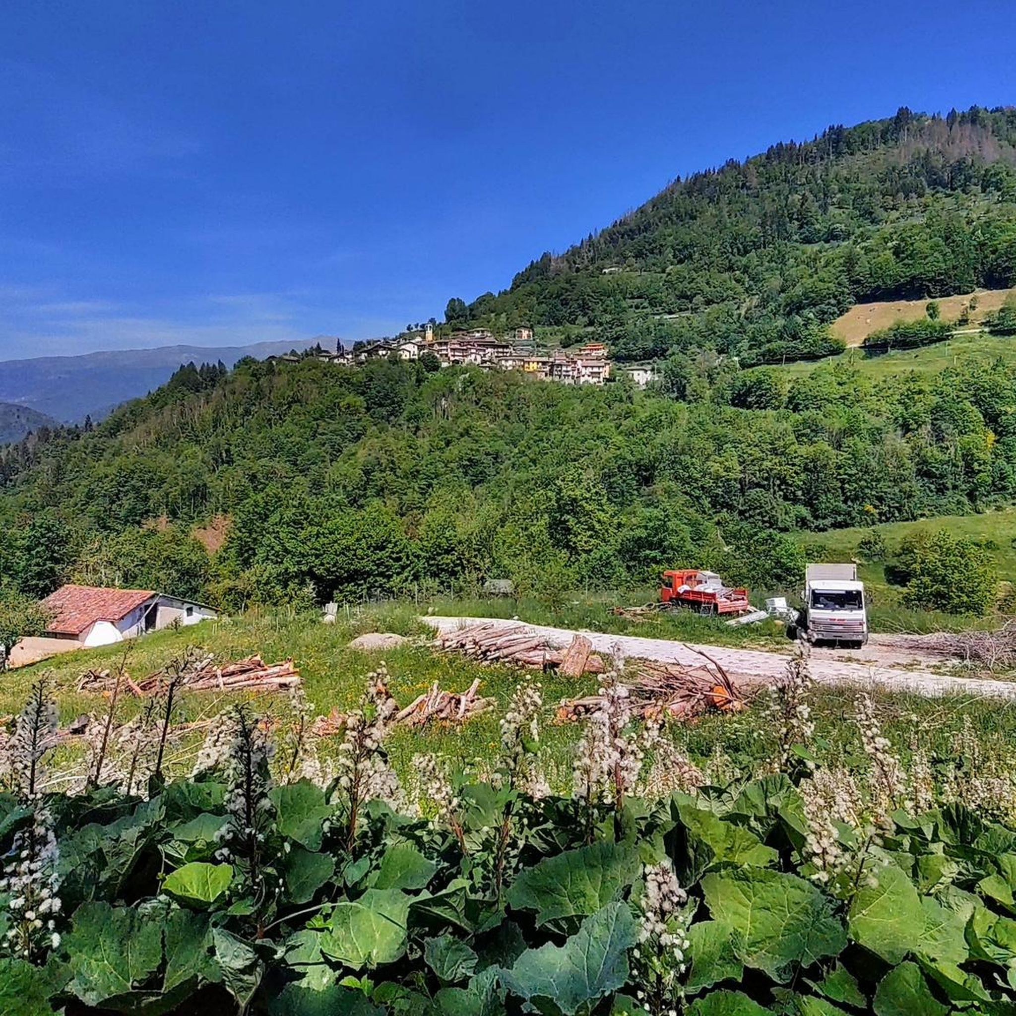
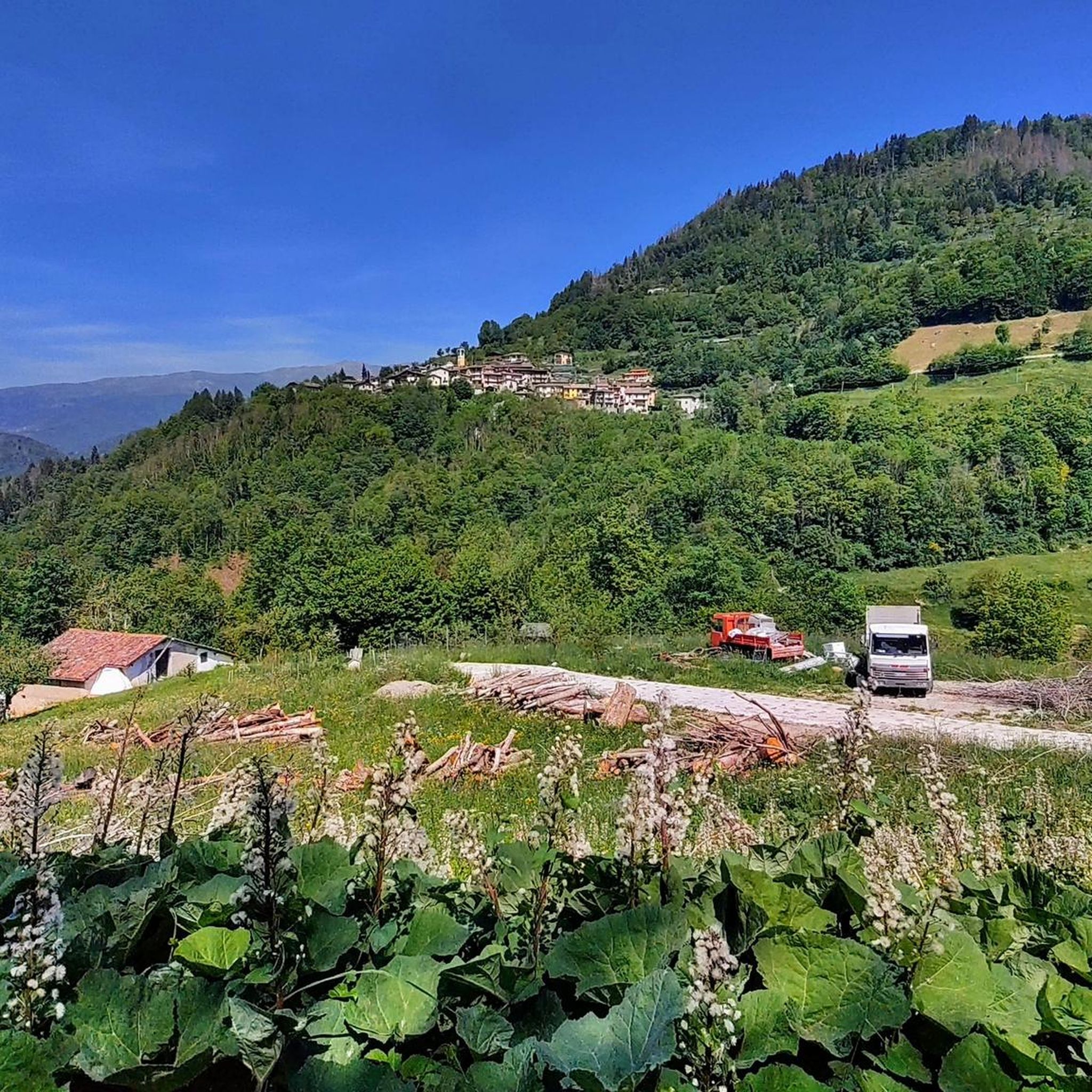
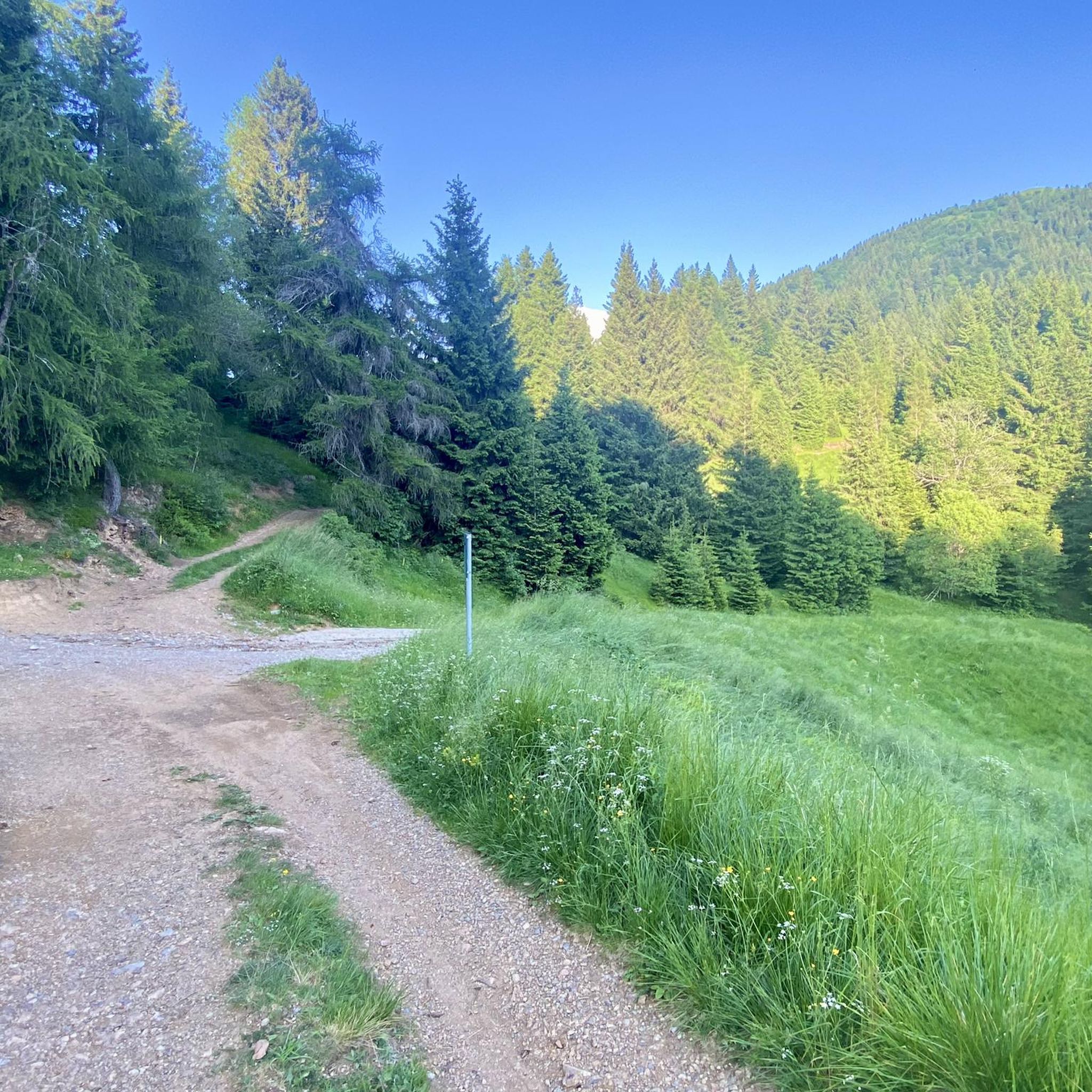
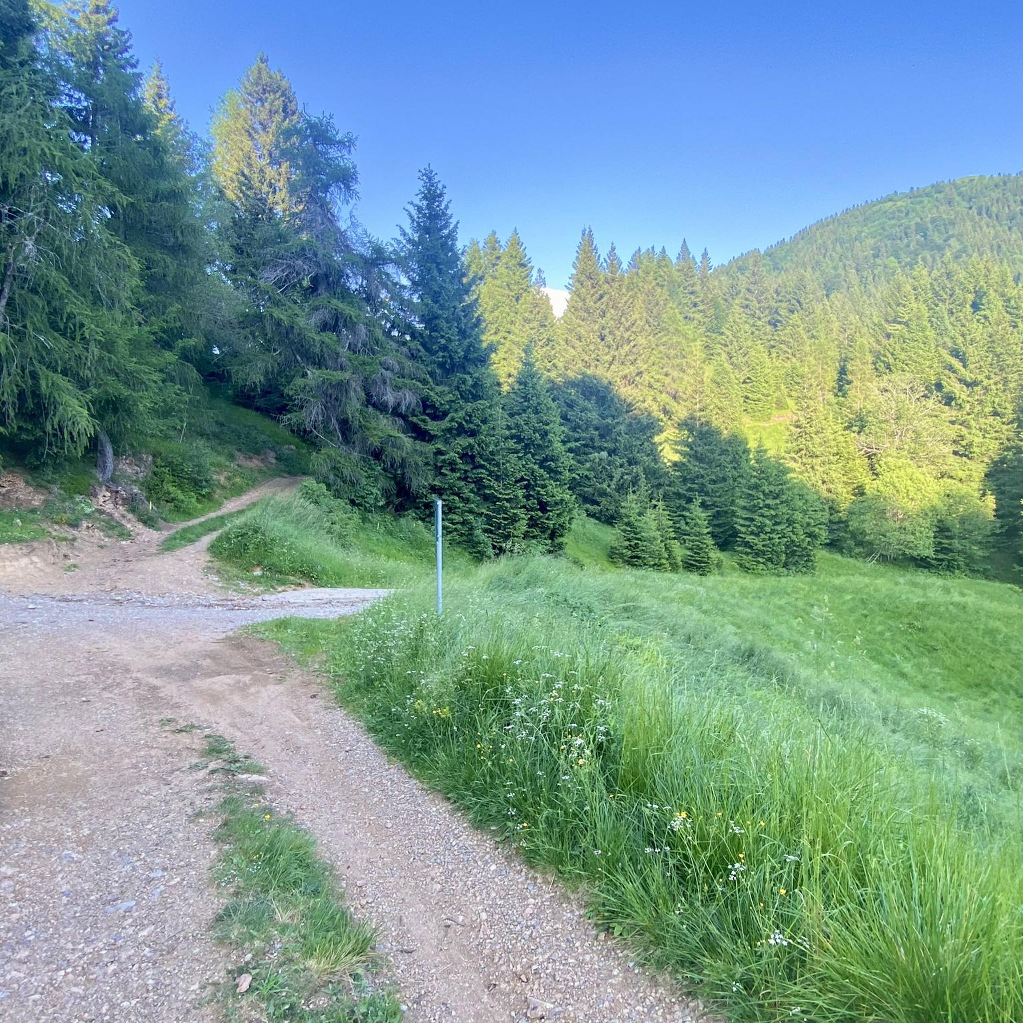

Tips from the Community

On clear days, Lake Garda can also be seen
0
0
After climbing the stairs, you are faced with "a wall" but it's just one section, the last section is then a gentle slope.
0
0

a truly evocative walk, especially when you pass the entire crest before climbing up to the cross in homage to the fallen
0
0

360° panorama of the Brescia Prealps 👍👍
0
0


Despite the not very high altitude, 1,775 meters, Monte Ario offers you a splendid panorama at the top. You can see the small villages of Valle Trompia, up to raise your gaze to the wide saddle of Passo della Maniva. Just further to the right is Dosso Alto, partially covered by the closer Monte Pezzeda. To the east you have the rocky peaks of Corna Blacca, then the view expands until you reach the distant crest of Monte Baldo. Further south is Lake Garda (Sirmione area). Finally, moving south-west, the grandeur of Monte Guglielmo takes center stage.
2
0

Mount Ario offers a magnificent 360 degree view, you will be delighted.
3
0
Frequently Asked Questions
How many hiking trails are available around Irma?
Irma offers a wide variety of hiking experiences, with over 270 routes available. These trails traverse mountainous terrain and wooded valleys, providing options for all skill levels.
What kind of terrain can I expect when hiking in Irma?
Hiking around Irma is characterized by mountainous terrain and wooded valleys. You can expect significant elevation changes, with routes leading through dense forests, open mountain slopes, and offering panoramic viewpoints over the Valle Trompia.
What do other hikers say about the trails in Irma?
The trails in Irma are highly regarded by the komoot community, holding an average rating of 4.5 stars from over 1400 reviews. Hikers frequently praise the varied terrain, scenic viewpoints, and the overall quality of the routes.
Are there easy hiking options for beginners in Irma?
Yes, Irma offers several easy hiking options suitable for beginners. There are 24 routes classified as easy, providing gentle walks through the region's beautiful landscapes without significant challenges.
Are there challenging hikes for experienced trekkers in Irma?
Absolutely. For experienced trekkers seeking a challenge, Irma features 78 difficult routes. These trails often involve significant elevation gain and traverse demanding mountain paths, such as the Sentiero 3V stage from Lodrino through Valle Trompia.
Are there any circular hiking routes in Irma?
Yes, Irma has several circular routes that allow you to start and end in the same location. An example is the Trail in the Woods – Picnic Table at Pian del Bene loop from Marmentino, which takes you through dense woodlands.
What are some notable landmarks or attractions to see while hiking in Irma?
While hiking in Irma, you can explore several interesting landmarks and natural features. Highlights include the Monte Guglielmo Summit and Chapel, the Monument to the Redeemer on Monte Guglielmo, and various mountain huts like Almici Hut – Monte Guglielmo.
Are there any mountain huts available for hikers in Irma?
Yes, Irma's mountainous region features several huts that can serve as resting points or overnight stays for hikers. Notable options include Almici Hut – Monte Guglielmo, Dosso Rotondo Hut, and Medelet Hut.
What is a good moderate hike to experience the views in Irma?
For a moderate hike with great views, consider the 3V Trail - Stage 3. This 7.0-mile route offers varied terrain and panoramic vistas, typically taking around 4 hours to complete.
Can I find longer, more strenuous hikes in Irma?
Yes, for longer and more strenuous hikes, Irma offers routes like Monte Ario – Monte Ario Summit loop from Marmentino. This difficult 14.8-kilometer trail involves significant elevation and takes approximately 5 hours to complete.
What is the best time of year to go hiking in Irma?
Given Irma's mountainous terrain, the best time for hiking is generally during the warmer months, from late spring to early autumn, when trails are clear of snow and weather conditions are more stable. Always check local forecasts before heading out.
Are there any hikes that offer a nice view of the valley?
Many trails in Irma provide stunning valley views due to the region's significant elevation changes. The Nice view of the valley – Monte Ario loop from Marmentino is specifically named for its scenic vistas over the surrounding landscape.
Most popular attractions around Irma

Get inspired with the komoot mobile app


Explore more
Browse the best Hikes in other regions.
