The best running trails around Piancogno
4.6
(19)
1,453
runners
24
runs
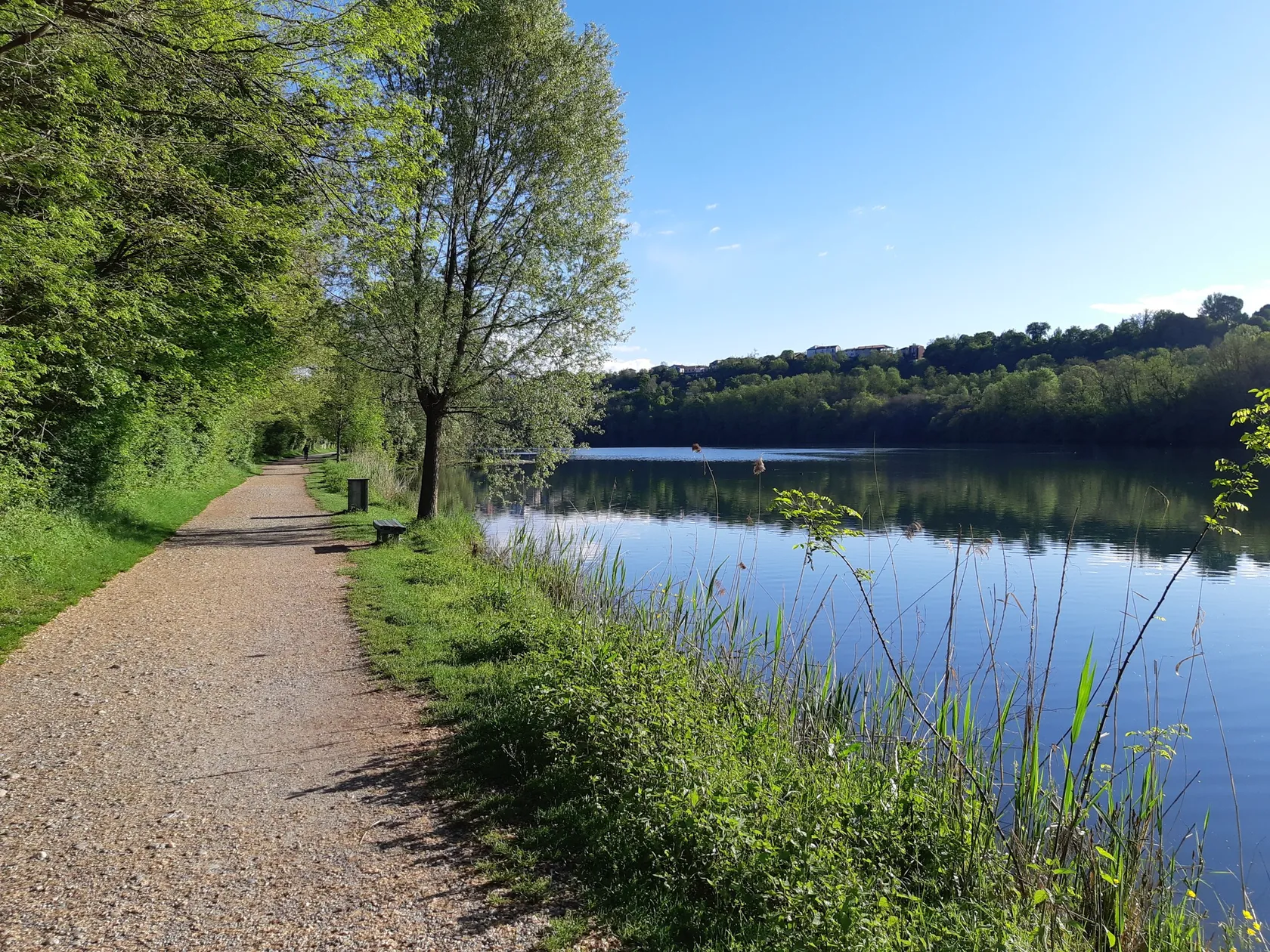
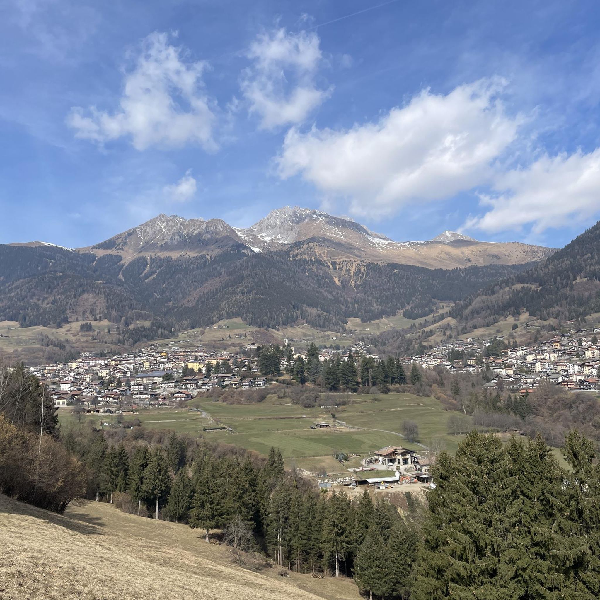
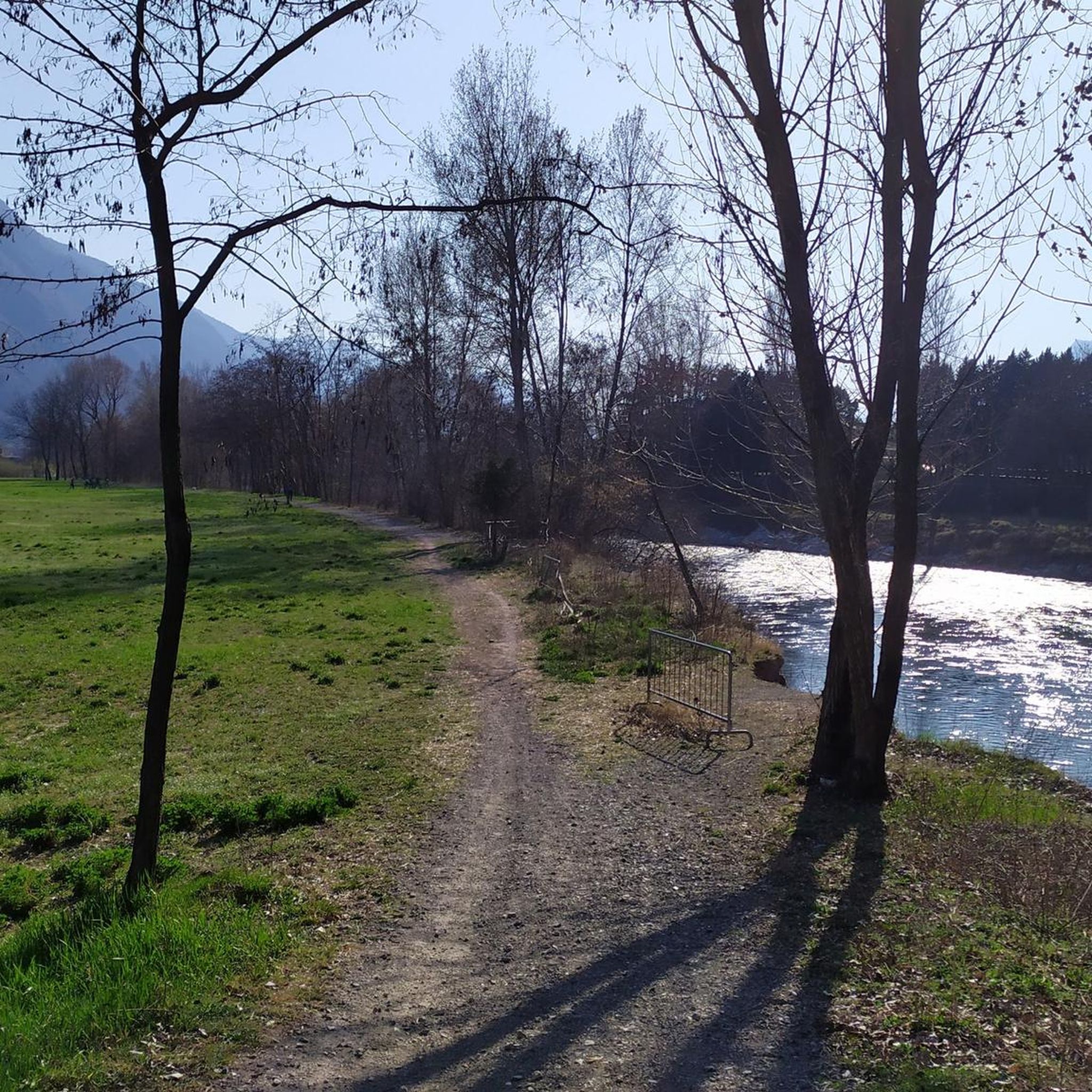
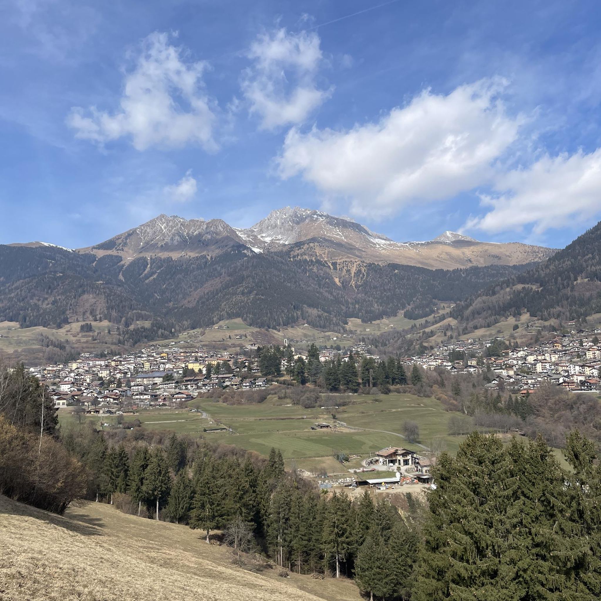
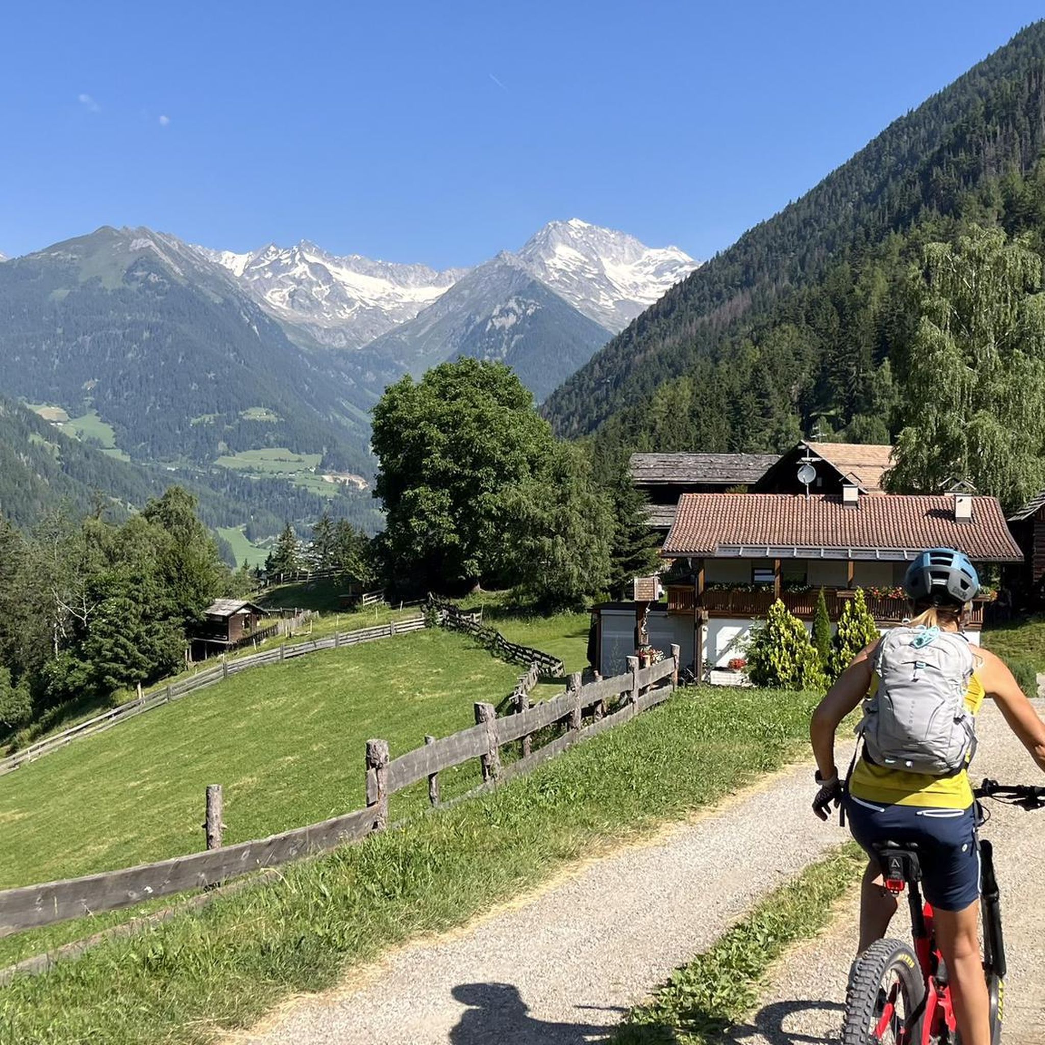
Jogging routes around Piancogno are set within the diverse landscapes of Valle Camonica in Lombardy, Italy. The region features extensive trail networks, including paths along the Oglio River, which provide varied terrain for running. Runners can explore areas with fir, chestnut, and birch forests, as well as routes leading to mountain passes and through valleys. The natural environment offers a mix of flat stretches and more challenging ascents, catering to different fitness levels.
Best jogging routes around Piancogno
- The most…
Last updated: October 9, 2026
2
runners
25.4km
03:57
1,540m
1,540m
Hard run. Very good fitness required. Sure-footedness, sturdy shoes and alpine experience required.
192
runners
Hard run. Very good fitness required. Mostly paved surfaces. Suitable for all skill levels.

5.0
(3)
93
runners
8.74km
00:54
40m
40m
Moderate run. Good fitness required. Mostly paved surfaces. Suitable for all skill levels.
5.0
(2)
90
runners
Moderate run. Good fitness required. Mostly paved surfaces. Suitable for all skill levels.
34
runners
Hard run. Very good fitness required. Mostly paved surfaces. Suitable for all skill levels.
Get access to more routes and recommendations from other explorers.
Already have an account?
Our route recommendations are based on thousands of hikes, rides, and runs completed by other people on komoot.
Start today with a free account
Your next adventure awaits.
Other adventures around Piancogno

Tips from the Community

The M.Altissimo is the watershed between Borno and Valcamonica. The direct ascent is quite steep in places, but can be softened by using alternative roads, lengthening the route. Once the summit is reached with the eponymous refuge, which is also the arrival point of the chairlift, it is possible to continue on the opposite side until reaching the cross. Lake Iseo is clearly visible from the cross.
0
0

By train to Edolo and then by bike up to Ponte di legno. The next day, departure in four stages to Mantua. Beautiful cycle path. Recommended
0
0

🏔️ Monte Altissimo (Val Camonica) — Identity and main characteristics Monte Altissimo is a mountain in the Bergamasker Prealps, 1703 m high, located between the lower Val Camonica and the lower Val di Scalve. It is the highest peak of the mountain group that separates these two valleys and dominates the Borno plateau. Two very different slopes Southern slope: steep, rocky, almost devoid of vegetation, with a height difference of about 1500 m from the Oglio valley floor. Northern slope: gentle slope towards Borno, covered with fir trees and dotted with mountain pastures (malghe), huts (baite) and ski slopes of the Borno Ski Area. 🚶♂️ Hiking — The main itineraries Monte Altissimo is very popular with hikers thanks to the good network of trails (difficulty E). Here are the best-known and most documented routes. 1) From Erbanno – Trail 197 or 155 A steep and challenging itinerary with a significant height difference. Trail 197: Start: Erbanno (Darfo Boario Terme) Passes through: the small church of San Valentino (690 m), Malga Mine, junction with trail 194 From the cross: spectacular view of the lower Val Camonica and Lake Iseo Summit reachable in 15 minutes from the final junction Trail 155 (more direct and strenuous): Height difference: about 1460 m Steep sections, some chains on a slightly exposed traverse Remarkable panorama over the meadows of the “Segable” Arrival at the Monte Altissimo refuge and the ski lifts 2) From Gorzone – Trail 154 A wilder route on the southern slope, with a long and tough climb. 3) From Borno – North slope (ski slope areas) A gentler and more panoramic itinerary, often chosen for loop tours that include refuges, mountain pastures, and small churches (as in your story). 🏞️ What makes Monte Altissimo special Sharp contrast between the two slopes: one severe and rocky, the other gentle and wooded. Wide panoramas over the lower Val Camonica, Lake Iseo, and Presolana. Network of mountain pastures and huts still active in summer. Presence of the Monte Altissimo refuge at the summit, also reached by ski lifts. Possibility of very varied loop tours, combining woods, slopes, ridges, and small isolated churches.
0
0

This pedestrian and cycle bridge allows you to safely cross the Oglio River while enjoying the view.
1
0

Nice, historic, relaxing...a beautiful ride along the Oglio cycle path.
0
0

Stone bridge with nice views around. The river was brown due to heavy rain some hours earlier.
1
0

To reach Montecchio di Darfo, starting from Boario, you cross the so-called "Roman bridge." It is a scenic 24-meter, single-span bridge, built from blocks of granite and Simona stone in 1686, over the remains of an older bridge that connected the medieval castle on Monticolo to the opposite bank of the river. It has been recognized as a national monument.
0
0

The area of the Corni Freschi boulder, on the right bank of the Oglio at the base of the Monticolo hill, is part of the complex of cult sites that during the Copper Age (3rd millennium BC) characterized various locations in the Camonica Valley. At the center of the vertical wall, a composition of nine halberds was engraved, from which the other name by which it is indicated derives: “Roccia delle alabarde”.
0
0
Frequently Asked Questions
How many running routes are available around Piancogno?
There are over 14 diverse running routes around Piancogno, offering a range of options from moderate paths to more challenging trail runs. These routes are set within the scenic Valle Camonica, providing varied landscapes for your runs.
Are there easy running routes suitable for beginners in Piancogno?
While there are no routes specifically classified as 'easy' in our current selection, you'll find 6 moderate running routes around Piancogno that are suitable for those looking for a less strenuous run. An example is the Running loop from Pian di Borno, which is 4.1 miles (6.6 km) and relatively flat.
Can I find challenging trail running options near Piancogno?
Yes, Piancogno offers 8 difficult running routes for experienced trail runners seeking a challenge. These routes often feature significant elevation gain and mountainous terrain. A prime example is the Running to Monte Altissimo — Loop tour, a 15.8-mile (25.4 km) route with over 1500 meters of ascent.
Are there any circular running paths in the Piancogno area?
Yes, many of the running routes around Piancogno are designed as circular paths, allowing you to start and end at the same point. For instance, the Running loop from Pian di Borno and the Fiume Oglio loop from Esine are both excellent circular options.
What kind of terrain can I expect on running trails around Piancogno?
The running trails around Piancogno offer a diverse range of terrain. You can expect paths along the Oglio River, routes through fir, chestnut, and birch forests, and more challenging ascents into the surrounding mountains and passes. The Valle Camonica provides a mix of flat stretches and varied gradients.
Are there family-friendly jogging routes in Piancogno?
While specific 'family-friendly' classifications aren't provided, the moderate routes, particularly those along the Oglio River cycle path, tend to be flatter and more accessible, making them suitable for families. The Running loop from Pian di Borno is a good example of a shorter, moderate option.
Can I bring my dog on the running trails in Piancogno?
Valle Camonica, where Piancogno is located, is generally welcoming to outdoor activities. Many trails, especially those in natural parks and along river paths, are suitable for dogs. However, it's always advisable to keep your dog on a leash and check local regulations for specific routes or protected areas.
What natural attractions or landmarks can I see while jogging in Piancogno?
Jogging around Piancogno offers opportunities to see various natural attractions. You might encounter beautiful lakes like Lake Moro, or pass by impressive mountain features such as Presolana Pass or Passo degli Agnelli. The region is also known for its extensive forests and the scenic Oglio River.
Is public transport available to access running routes around Piancogno?
Piancogno and the wider Valle Camonica region have public transport options, including bus services, that connect various towns and villages. These can often provide access points close to trailheads. For detailed schedules and routes, it's best to consult local transport information for the specific starting point of your chosen run.
What is the best time of year to go jogging in Piancogno?
The best time for jogging in Piancogno largely depends on your preference. Spring and autumn offer pleasant temperatures and vibrant scenery, ideal for most runners. Summer can be warm, especially at lower elevations, but higher mountain trails provide cooler conditions. Winter running is possible, particularly on lower, well-maintained paths, but mountain routes may require specific gear due to snow.
Are there any cafes or places to relax near the running routes?
Yes, the charming towns and villages throughout Valle Camonica, including those near Piancogno, often have cafes, restaurants, and other amenities where you can relax and refuel after your run. Many historical routes also pass through picturesque villages, offering opportunities for a break.
What do other runners say about the trails in Piancogno?
The running routes around Piancogno are highly rated by the komoot community, with an average score of 4.3 stars from over 20 reviews. More than 700 runners have used komoot to explore the varied terrain, often praising the diverse landscapes, from river paths to challenging mountain ascents, and the natural beauty of Valle Camonica.
Can I combine jogging with cultural exploration in Valle Camonica?
Absolutely! Valle Camonica is a UNESCO World Heritage site, famous for its ancient rock engravings. You can jog through archaeological parks, such as the one in Naquane, combining physical activity with cultural immersion. The region also features charming medieval towns and historical routes like the 'Cammino di Carlo Magno'.
Most popular routes around Piancogno
Most popular attractions around Piancogno

Get inspired with the komoot mobile app


Explore more
Browse the best Running Trails & Routes in other regions.
