The best road cycling routes around Rümikon
4.5
(350)
5,629
riders
116
rides
Road cycling routes around Rümikon traverse a landscape shaped by the Rhine River and its tributaries, offering varied terrain for cyclists. The region features gently rolling hills, river valleys, and agricultural areas, providing a mix of flat sections and moderate ascents. Cyclists can expect routes that follow riverbanks and wind through rural settings, often with views of the surrounding Swiss countryside. The elevation changes are generally manageable, making the area suitable for a range of road cycling abilities.
Best road…
Last updated: October 8, 2026
4.5
(11)
74
riders
40.7km
01:43
240m
240m
Moderate road ride. Great for any fitness level. Some segments of this route may be unpaved and difficult to ride.
52
riders
Moderate road ride. Good fitness required. Mostly well-paved surfaces and easy to ride.

4.0
(1)
51
riders
34.1km
01:35
240m
240m
Moderate road ride. Great for any fitness level. Some segments of this route may be unpaved and difficult to ride.
5.0
(2)
41
riders
25.2km
01:07
220m
220m
Moderate road ride. Great for any fitness level. Some segments of this route may be unpaved and difficult to ride.
4.8
(5)
39
riders
Moderate road ride. Great for any fitness level. Some segments of this route may be unpaved and difficult to ride.
Get access to more routes and recommendations from other explorers.
Already have an account?
Our route recommendations are based on thousands of hikes, rides, and runs completed by other people on komoot.
Start today with a free account
Your next adventure awaits.
Tips from the Community

The first Aare bridge near Stilli was built in 1903 by the canton of Aargau. Renewed and widened in 1970. In the 13th/14th century, a bridge already crossed the Aare near Freudenau Castle (approx. 200 meters upstream).
0
0

A pleasantly wonderful ascent
1
0

On the banks of the Wutach in Lauchringen, I ride very close to the water, enjoying the quiet, green surroundings. The section feels pleasantly connected to nature and invites you to slow down for a moment – a beautiful moment right on the Wutach.
0
0
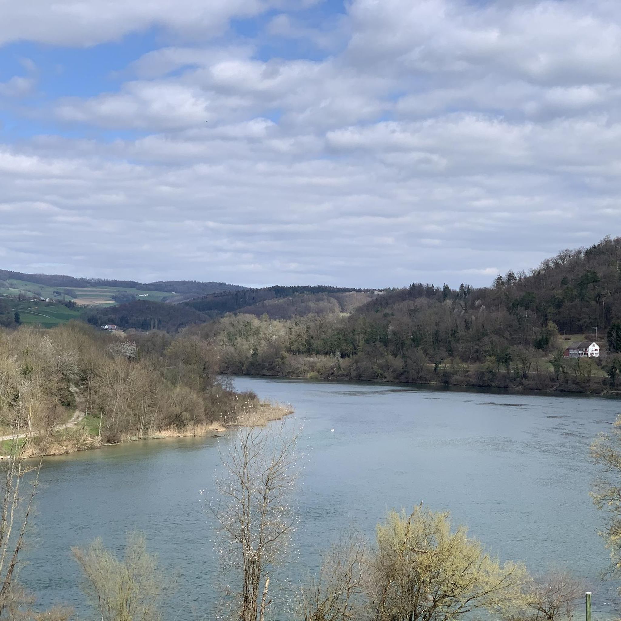
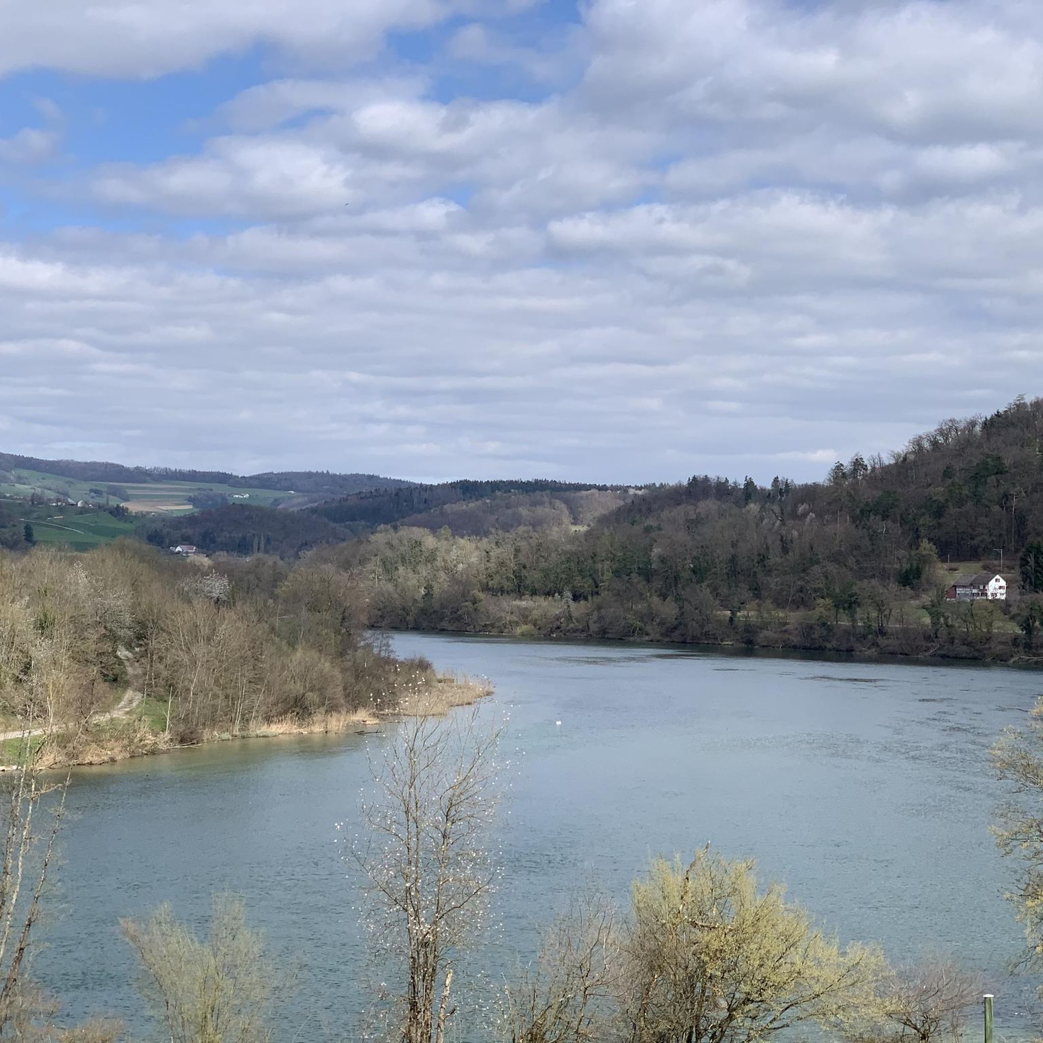
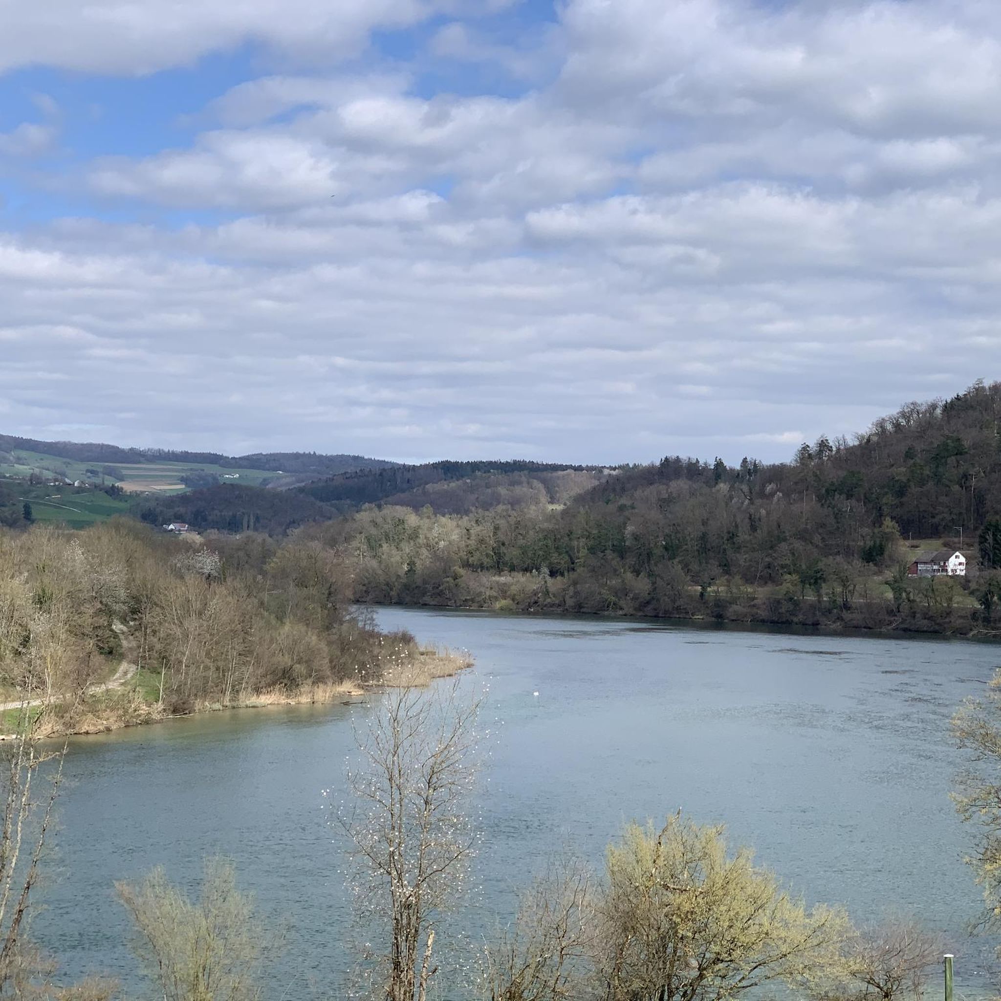
With a mountain bike, a short stop here is worthwhile for the Rhine view. I stopped briefly, enjoyed the view over the water, and let the calm atmosphere on the bank sink in. A beautiful moment on the tour to take a deep breath and consciously take in the landscape.
0
0
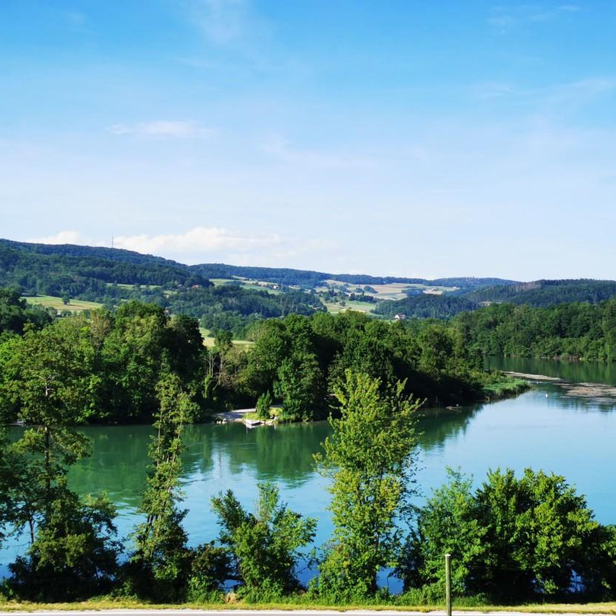
A very beautiful photo opportunity: the last bridge over the Aare River. Here, after 292 kilometers, the Aare flows into the Rhine.
0
0

Beautiful cycle path with great views
0
0

Frequently Asked Questions
How many road cycling routes are available around Rümikon?
There are over 120 road cycling routes in the Rümikon area, offering a diverse range of options for cyclists of all abilities.
Are there road cycling routes suitable for beginners in Rümikon?
Yes, Rümikon offers over 20 easy road cycling routes. These typically feature gentler terrain and manageable distances, perfect for those new to road cycling or looking for a relaxed ride.
What kind of terrain can I expect on road cycling routes around Rümikon?
The routes around Rümikon are characterized by a mix of gently rolling hills, river valleys, and agricultural areas. You'll find flat sections along riverbanks and through rural settings, interspersed with moderate ascents that provide scenic views of the surrounding Swiss countryside.
Are there any challenging road cycling routes for experienced riders?
Yes, for more experienced riders seeking a challenge, Rümikon offers over 25 difficult road cycling routes. These often include more significant climbs and longer distances, providing a rewarding experience with panoramic views.
What do other road cyclists enjoy most about the routes in Rümikon?
The road cycling routes in Rümikon are highly rated by the komoot community, with an average score of 4.6 stars from over 240 reviews. Cyclists often praise the varied terrain, scenic river views, and the mix of open country roads and charming villages.
Are there any circular road cycling routes in Rümikon?
Many routes in Rümikon are designed as loops, allowing you to start and finish at the same point. For example, the Rhine Cycle Route – View of the Rhine loop from Rümikon is a popular 22.0-mile (35.4 km) circular trail that follows the Rhine river valley.
What are some notable viewpoints or attractions along the road cycling routes?
Along the routes, you can find several points of interest. The View of Mandach from Rotberg – View of the Wasserschloss loop from Lengnau AG offers panoramic views. Additionally, you might encounter natural highlights like the Klingnau reservoir - observation tower or the BirdLife Nature Center Klingnauer Reservoir, which are great for a short break.
Can I access road cycling routes in Rümikon using public transport?
Rümikon and surrounding villages are generally well-connected by public transport, making it possible to reach many starting points. Check local bus and train schedules for the most convenient access to your chosen route's starting location.
Where can I find parking for road cycling in Rümikon?
Parking is typically available in the villages and towns along the routes, such as Rümikon itself, Rekingen, or Lengnau AG. Look for designated public parking areas, especially near train stations or village centers, which often serve as convenient starting points for rides.
Are there any routes that pass through charming villages or towns?
Yes, many routes wind through local villages and agricultural areas. For instance, the Bad Zurzach – Cycle Path Near KKL loop from Rekingen, a 25.5-mile (41.1 km) route, follows river paths and passes through several local communities, offering a glimpse into regional life.
What is a good route for exploring the Rhine river valley?
The Rhine Cycle Route – View of the Rhine loop from Rümikon is an excellent choice for exploring the Rhine river valley. This 22.0-mile (35.4 km) trail offers consistent views of the river and its surrounding landscape.
Are there any routes that offer views of historical structures or landmarks?
The region features routes that pass by historical elements. For example, the Upper Tower Kaiserstuhl – Water wheel on the Glatt? loop from Kaiserstuhl, a 25.1-mile (40.4 km) route, starts near Kaiserstuhl, a town known for its historic architecture and towers.
Most popular attractions around Rümikon

Get inspired with the komoot mobile app


Explore more
Browse the best Road cycling routes in other regions.
