The best running trails around Barcis
4.1
(71)
4,159
runners
232
runs
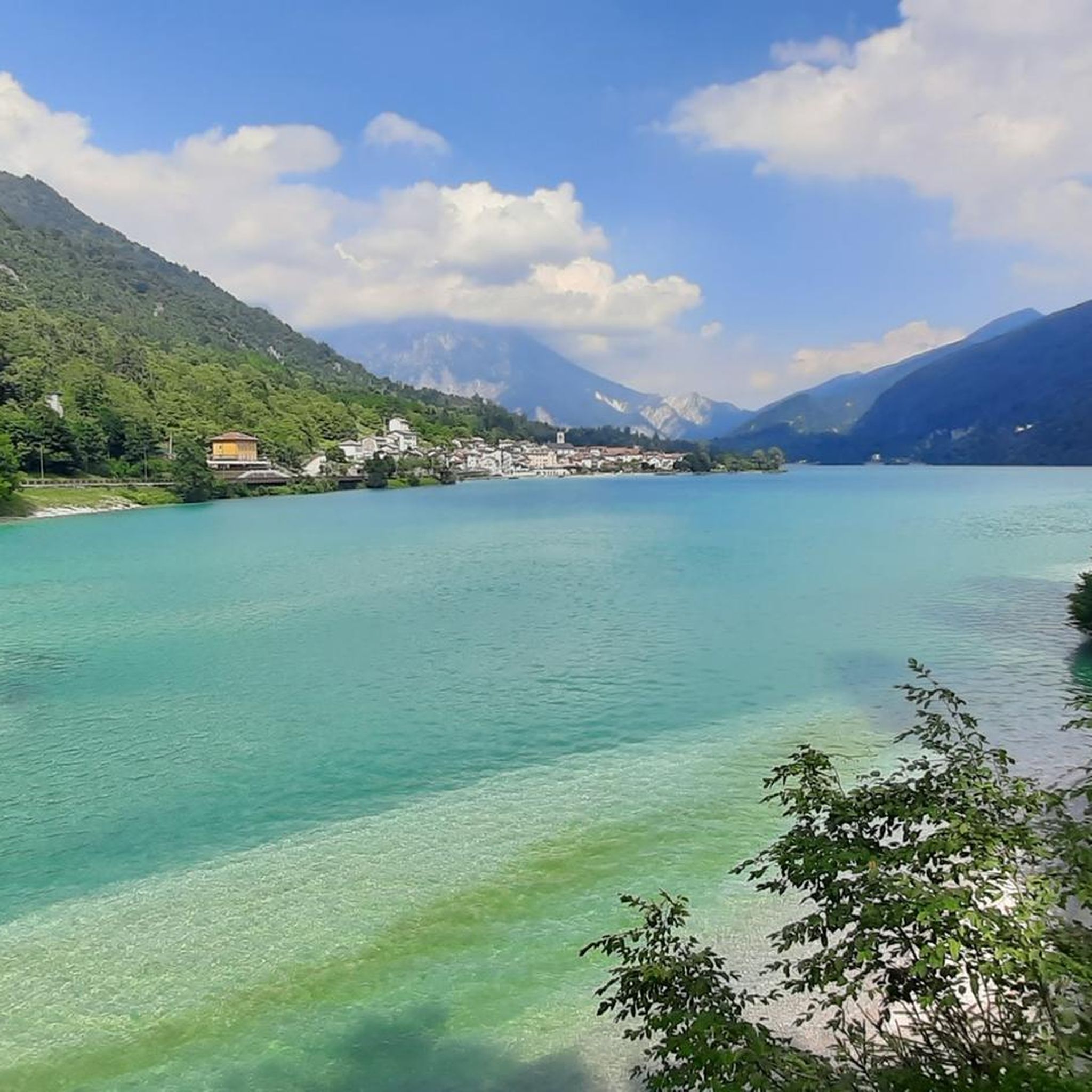
Jogging routes around Barcis are set within the Valcellina valley, characterized by the emerald waters of Lake Barcis and the dramatic cliffs of the Cellina Gorge. The region is situated at the foothills of the Friulian Dolomites, offering a mix of lakeside paths, forest trails, and more challenging mountain terrain. This diverse landscape provides varied running experiences, from gentle loops to routes with significant elevation gain. The area features well-maintained trails suitable for various fitness levels.
Best jogging routes around Barcis
- The most popular jogging route is Bacino Pian delle More – Inghiottitoio sotto l'abete loop from Piancavallo / Plancjaval, a 15.1 miles (24.3 km) trail that takes 2 hours 48 minutes to complete. This route offers a challenging experience with significant elevation gain.
- Another top favourite among local runners is Lake Barcis – Lake Barcis loop from Barcis / Barce, a moderate 8.7 miles (14.0 km) path. This route circles the picturesque Lake Barcis, providing continuous water views and a serene running environment.
- Local runners also love the Alpini Trail (Barcis) – Lake Barcis loop from Barcis / Barce, an 8.6 miles (13.8 km) trail leading through varied terrain with views of Lake Barcis, often completed in about 1 hour 39 minutes.
- Jogging around Barcis is defined by its stunning lake, the dramatic Cellina Gorge, and the surrounding Friulian Dolomites. The network of running routes offers options for different ability levels.
- The routes in Barcis are highly rated by the komoot community with an average score of 4.1 stars from over 50 reviews. More than 3,400 runners have used komoot to explore Barcis's varied terrain.
Last updated: October 8, 2026
5.0
(1)
164
runners
24.8km
02:54
550m
550m
Hard run. Very good fitness required. Mostly paved surfaces. Suitable for all skill levels.
91
runners
8.16km
00:54
110m
110m
Hard run. Good fitness required. Sure-footedness, sturdy shoes and alpine experience required.

4.8
(4)
71
runners
13.6km
01:39
350m
340m
Hard run. Very good fitness required. Sure-footedness, sturdy shoes and alpine experience required.
38
runners
16.1km
02:37
850m
850m
Hard run. Very good fitness required. Sure-footedness, sturdy shoes and alpine experience required.
48
runners
11.6km
01:26
270m
270m
Hard run. Good fitness required. Sure-footedness, sturdy shoes and alpine experience required.
Get access to more routes and recommendations from other explorers.
Already have an account?
Our route recommendations are based on thousands of hikes, rides, and runs completed by other people on komoot.
Start today with a free account
Your next adventure awaits.
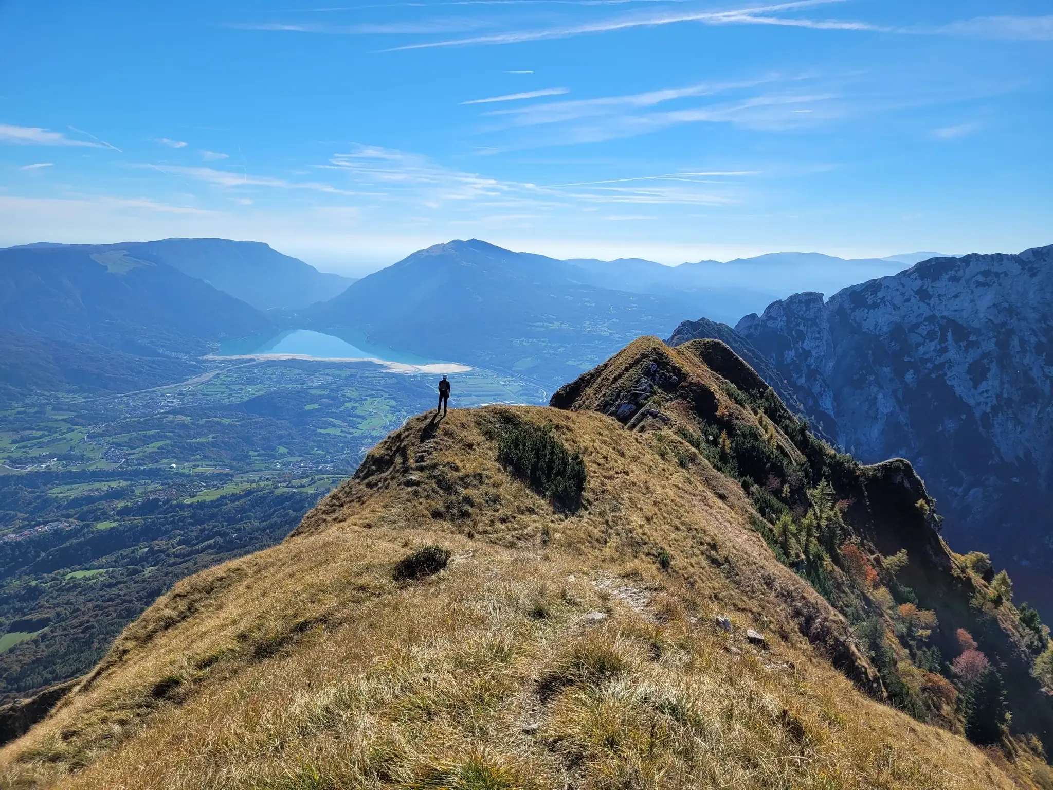


Other adventures around Barcis

Tips from the Community

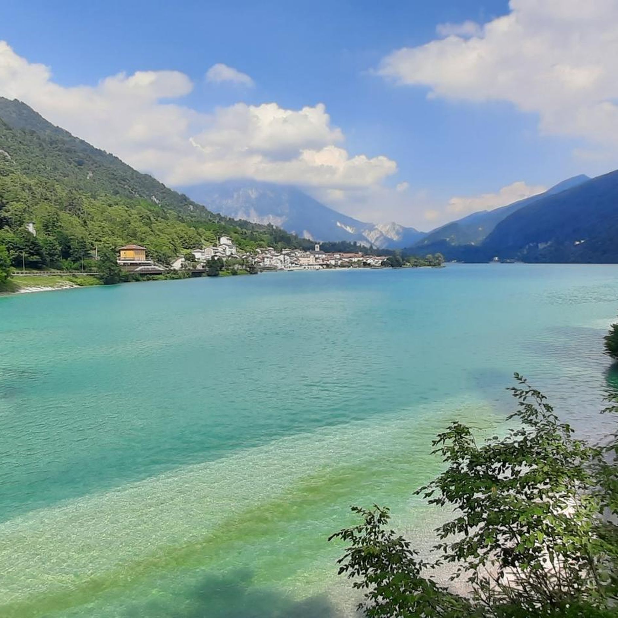
Lake Aprilis, better known as Lake Barcis, is an artificial basin created in 1954 by damming the Cellina stream near the Ponte Antoi gorge. It owes its characteristic brilliant green color to the combination of sunlight with minerals and calcareous sediments carried by the water. The presence of dense beech and fir forests along the banks accentuates the emerald green tones.
1
0
Lake Aprilis, better known as Lake Barcis, is an artificial basin created in 1954 by damming the Cellina stream near the Ponte Antoi gorge. Its characteristic brilliant green color is due to the combination of sunlight with minerals and calcareous sediments carried by the waters. The presence of dense beech and fir forests along the banks accentuates the emerald green tones.
1
0


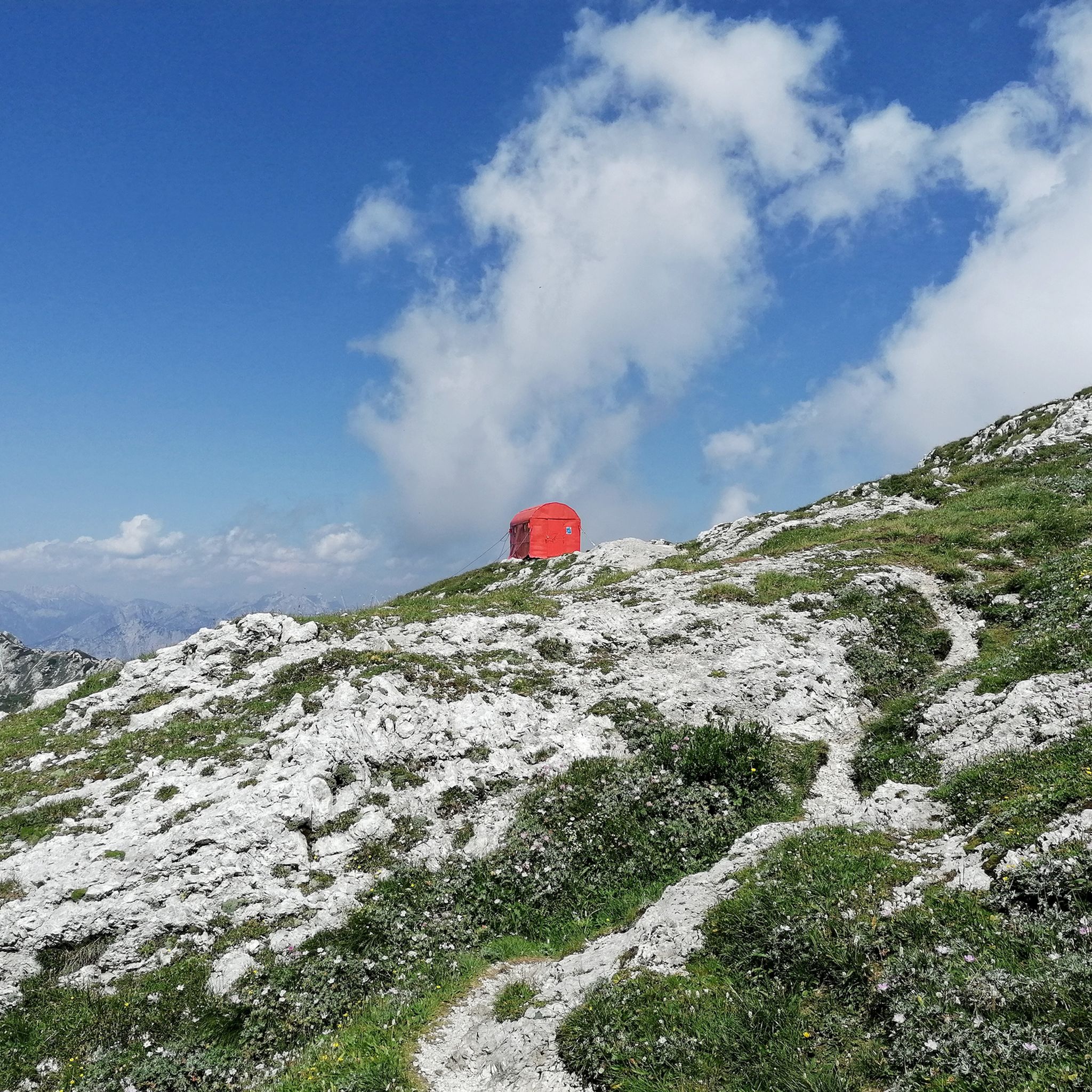
Casera del Medico is a closed mountain hut, located on the Malghe walk.
0
1
Casera Bitter, a beautiful shelter near the ridge of Mount Laura.
0
0
A place of high naturalness and very panoramic.
0
0
Frequently Asked Questions
How many running routes are available around Barcis?
Barcis offers a wide variety of running experiences, with over 200 routes documented on komoot. These range from easy lakeside paths to challenging mountain trails, catering to all fitness levels.
Are there easy running routes suitable for beginners or families in Barcis?
Yes, Barcis has several accessible options perfect for beginners or families. The trail around Lake Barcis is a popular choice, offering serene views and a relatively flat surface. A great example is the Running loop from Barcis, which is a moderate 6.0 km path that takes about 38 minutes to complete.
What are some of the longer or more challenging running trails in the Barcis area?
For those seeking a greater challenge, Barcis offers routes with significant elevation gain and longer distances. The Alpini Trail (Barcis) – Lake Barcis loop from Barcis / Barce is a difficult 13.8 km trail with varied terrain. Another demanding option is the Bacino Pian delle More – Inghiottitoio sotto l'abete loop from Piancavallo / Plancjaval, a difficult 24.3 km route.
Can I find circular running routes around Barcis?
Absolutely. Many of the running routes in Barcis are designed as loops, allowing you to start and finish in the same location. A highly rated circular route is the Lake Barcis – Lake Barcis loop from Barcis / Barce, which is a moderate 14.0 km path circling the picturesque lake.
What kind of scenery can I expect on the running trails in Barcis?
The running trails in Barcis offer incredibly diverse and stunning scenery. You'll experience the emerald waters of Lake Barcis, the dramatic cliffs of the Cellina Gorge, and the majestic backdrop of the Friulian Dolomites. Trails often wind through lush forests, past karst sinkholes, and provide panoramic viewpoints.
Are there any specific attractions or landmarks to look out for while running in Barcis?
Yes, the region is rich in natural and man-made attractions. The Forra del Cellina (Cellina Gorge) is a spectacular canyon visible from several routes, including the old panoramic route of the Valcellina. You might also encounter highlights like the Clautana Pass or the Sauc Saddle on some of the more mountainous trails.
Is Barcis a good destination for trail running?
Barcis is an excellent destination for trail running, especially for those who enjoy varied terrain. The region's location at the foothills of the Friulian Dolomites means you'll find numerous mountain trails that double as challenging trail running routes, offering significant elevation changes and technical sections.
What do other runners say about the trails in Barcis?
The running routes in Barcis are highly regarded by the komoot community, boasting an average rating of 4.2 stars from over 50 reviews. Runners frequently praise the stunning lake views, the well-maintained paths, and the diverse natural landscapes that make each run a unique experience.
Are there any specific trails that offer great viewpoints of Lake Barcis or the surrounding mountains?
Many trails provide exceptional views. The Sentiero del Dint is particularly noted for its unique views of Barcis and its lake, winding through panoramic viewpoints on the Cellina Gorge. The lakeside path itself offers continuous, beautiful vistas of the emerald waters reflecting the Dolomites.
When is the best time of year to go running in Barcis?
Barcis offers running opportunities throughout much of the year. Spring and autumn provide pleasant temperatures and vibrant scenery, ideal for longer runs. Summer is also popular, though it can be warmer, making early morning or late afternoon runs preferable. Winter running is possible, especially on lower elevation trails, but some higher mountain paths may be inaccessible due to snow.
Are the running routes in Barcis generally well-marked?
Many of the popular running routes, especially those around Lake Barcis and within the natural park, are generally well-maintained and marked. However, for more challenging or remote mountain trails, it's always advisable to use a navigation tool like komoot to ensure you stay on track.
Most popular attractions around Barcis

Get inspired with the komoot mobile app


Explore more
Browse the best Running Trails & Routes in other regions.
