The best road cycling routes around Prato Carnico
4.5
(139)
5,645
riders
60
rides
Road cycling around Prato Carnico, nestled in Italy's Carnic Alps, features a landscape characterized by dramatic mountain scenery and diverse terrain. The region offers challenging mountain passes, including the renowned Monte Zoncolan, alongside scenic valleys such as Val Degano and the Tagliamento river valley. Road surfaces vary, providing a range of experiences from paved roads to some unpaved segments. This area is defined by significant elevation gains and varied natural features, making it suitable for experienced road cyclists.
Best road…
Last updated: August 14, 2026
5.0
(5)
192
riders
20.5km
01:59
1,200m
1,200m
Hard road ride. Very good fitness required. Mostly well-paved surfaces and easy to ride.
4.7
(6)
104
riders
54.0km
02:52
1,060m
1,060m
Hard road ride. Very good fitness required. Mostly well-paved surfaces and easy to ride.

Sign up for free
5.0
(1)
175
riders
44.7km
04:08
1,670m
1,670m
Hard road ride. Very good fitness required. Some segments of this route may be unpaved and difficult to ride.
5.0
(1)
42
riders
42.1km
02:55
1,460m
1,460m
Hard road ride. Very good fitness required. Mostly well-paved surfaces and easy to ride.
50
riders
89.1km
05:45
2,670m
2,670m
Hard road ride. Very good fitness required. Mostly well-paved surfaces and easy to ride.
Get access to more routes and recommendations from other explorers.
Sign up for free
Already have an account?
Our route recommendations are based on thousands of hikes, rides, and runs completed by other people on komoot.
Start today with a free account
Your next adventure awaits.
Login or Signup


Tips from the Community

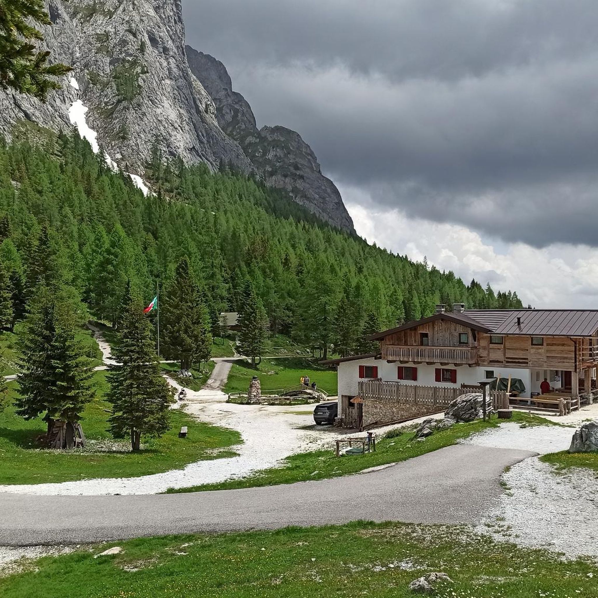
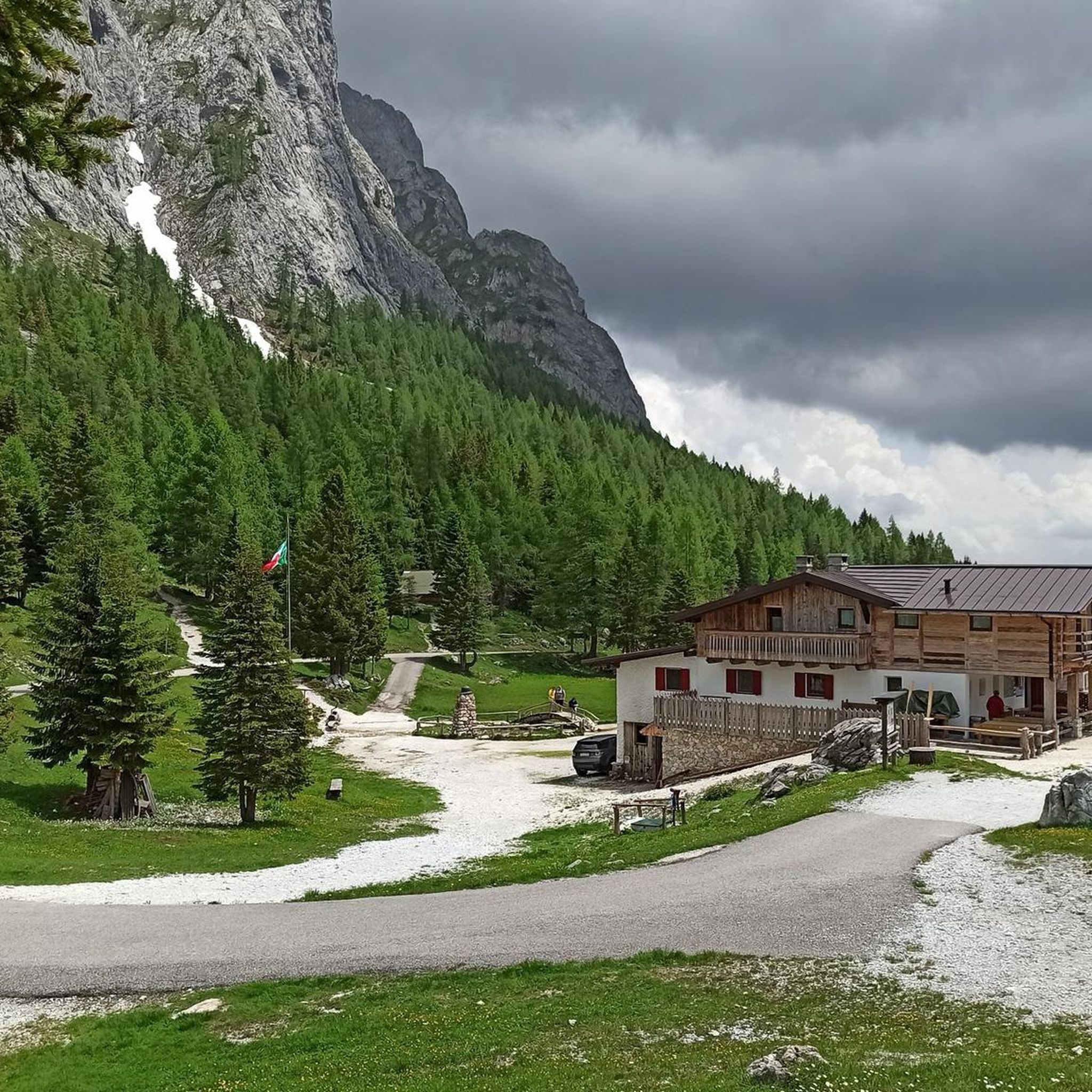
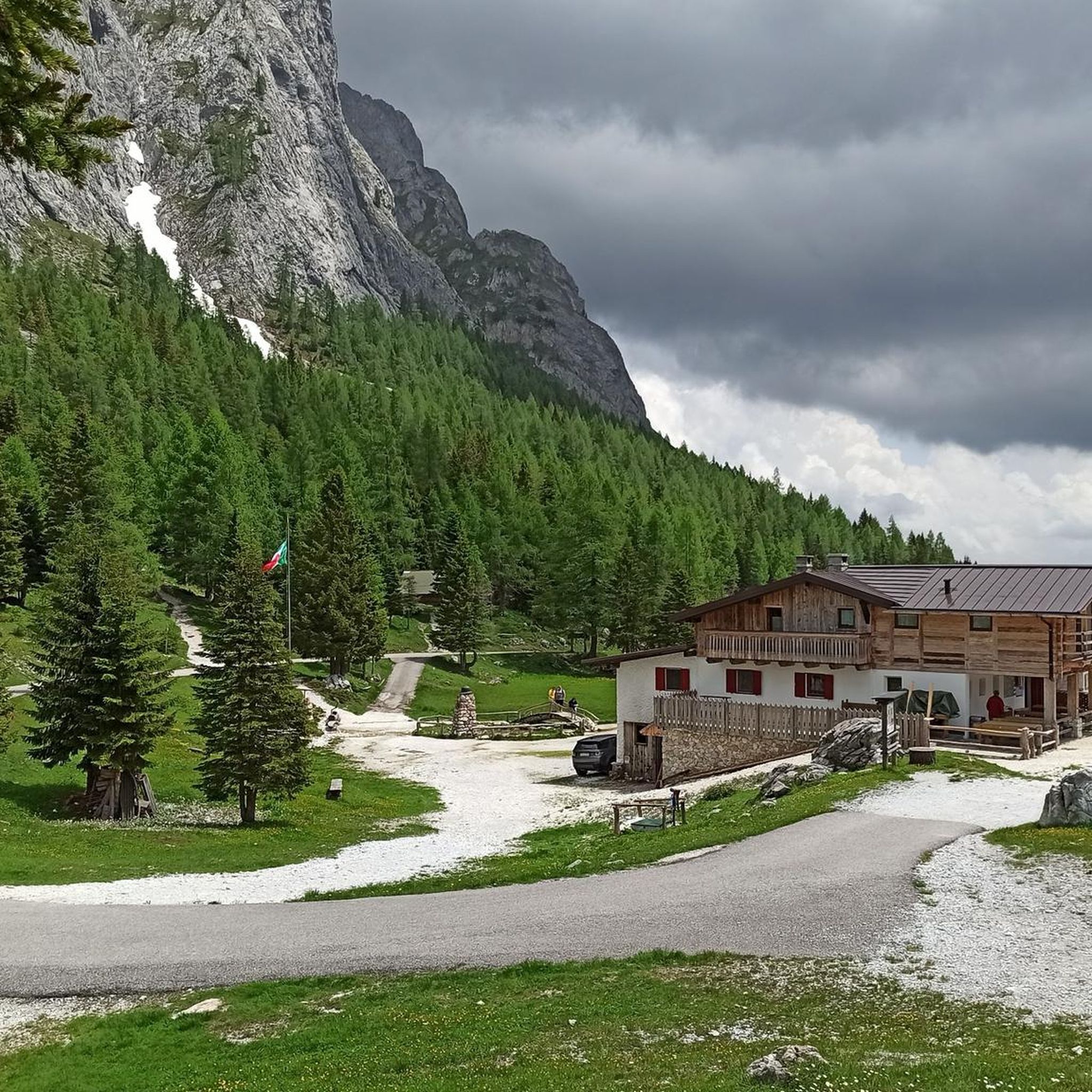
Even though it's always crowded, the Monte Zoncolan viewpoint is always worth a visit.
0
0

In addition to its role as a cycling arena, Monte Zoncolan is a multi-purpose tourist destination. In winter, you can enjoy downhill runs of varying difficulty (ranging from blue to black). The Zoncolan Ski Area offers a variety of challenging trails (both fast technical sections and steep walls), making it ideal for slalom and giant slalom training. The location in Friuli-Venezia Giulia offers good snow conditions, but also a relatively quiet base – fewer tourists than in the Dolomites. Modern infrastructure (the Ravascletto–Zoncolan gondola and artificial snowmaking system) allows for regular training even in inclement weather. If you visit Ravascletto in winter, it's not unusual to see sections of the trails marked "chiuso per allenamento" (closed for training) – a sign that national teams or clubs are training there. In summer, you can enjoy a network of trails of varying difficulty—from family walks to challenging mountain treks. The areas are well-marked and have infrastructure (huts, rifuges, viewpoints).
0
0
I ascended the Zoncolan on a beautiful, sunny day. Entering the tunnel was like falling into a black hole in the wall of a steep driveway. The air inside was noticeably cooler, and the humidity increased. This sudden change in conditions accentuated the difference between the bright, exposed trail and the narrow, rocky expanse of the tunnel.
1
0
During the Giro d'Italia, these three tunnels are a signature feature of the route. Crowds of fans line the entrances and exits. The sound of cheering, shouts, and horns bounces off the tunnel walls, amplifying the noise. When a cyclist enters a tunnel, they enter a deafening, claustrophobic world where the noise is more intense than on the open road. When they exit, loud cheering erupts behind them, spurring them on. Fans line these areas to give the riders an extra boost of energy.
1
0
On the approach from Ovaro, at the top of the climb, three short tunnels await, located about 500 meters before the summit. Passing through them marks the beginning of the final, serpentine battle with the mountain. The tunnels are carved into the rock, paved, single-lane, and have basic lighting. Each tunnel is several dozen meters long and requires concentration, as the road is narrow and usually slippery. For the cyclist, it's also a moment of mental "breathing." Although the gradient still requires effort, the tunnels offer a brief respite from the steepest sections of the climb.
1
0

One of the toughest climbs I've ever done, use low gears.
14
0

At least it's a good hint, even if I didn't dare to do it this time.
2
0
They are also intended to emphasize that Zoncolàn is not just a place for one Giro hero, but for the entire peloton, all the cyclists and cyclists who have arrived here.
1
0
Frequently Asked Questions
How many road cycling routes are available around Prato Carnico?
There are over 50 road cycling routes around Prato Carnico. These routes cater to various fitness levels, with a significant number offering challenging climbs and substantial elevation gains.
What is the typical terrain like for road cycling in Prato Carnico?
The terrain around Prato Carnico is characterized by dramatic mountain scenery, including the majestic Carnic Alps and challenging passes like Monte Zoncolan. You'll find mostly paved surfaces, but routes often feature significant elevation gains as they traverse scenic valleys such as the Pesarina Valley.
Are there challenging road cycling routes for experienced cyclists?
Yes, Prato Carnico is renowned for its challenging road cycling routes, particularly those incorporating the legendary Monte Zoncolan, often called the 'toughest climb in the Giro d'Italia.' Routes like the Saddle of Monte Zoncolan – Monte Zoncolan Summit loop from Ovaro / Davâr offer substantial elevation gains and require very good fitness.
What kind of natural features or landmarks can I expect to see along the routes?
Road cycling routes in the Prato Carnico region offer breathtaking panoramic views of the Carnic Alps. You might encounter serene natural features like Lake Wolayer or the Olbe Lakes, and pass through picturesque valleys. The region also features several waterfalls, such as Hildenfall and Cascatelle Falls.
Are there any family-friendly road cycling options in Prato Carnico?
While many routes in Prato Carnico feature significant climbs and are rated as difficult, there are some moderate options available. For families, it's advisable to look for routes with less elevation gain or consider shorter sections of valleys. Always check the route details for difficulty and elevation before setting out.
What is the best time of year for road cycling in Prato Carnico?
The best time for road cycling in Prato Carnico is generally from late spring through early autumn (May to October). During these months, the weather is more stable, and mountain passes are typically clear of snow, offering optimal conditions for tackling the region's challenging climbs and enjoying the scenic views.
Are there any circular road cycling routes available?
Yes, many of the road cycling routes around Prato Carnico are designed as loops. For example, the Lake Sauris – Lake Sauris loop from Sauris di Sotto / Dörf / Sauris Disot is a popular circular option. These loops allow you to start and finish at the same point, making logistics easier.
What do other road cyclists enjoy most about cycling in Prato Carnico?
The area is highly rated by the komoot community, with an average score of 4.6 stars. Reviewers often praise the dramatic mountain scenery, the challenge of iconic climbs like Monte Zoncolan, and the well-maintained paved roads that make for an excellent road cycling experience.
Can I find places to eat or stay along the cycling routes?
The region offers various amenities for cyclists. Towns like Prato Carnico and Sauris provide options for cafes, restaurants, and accommodation. Many routes pass through or near villages where you can refuel and rest. It's always a good idea to check specific route details for available services.
Are there any cultural attractions to explore in the Prato Carnico area?
Beyond cycling, the region offers cultural insights. You can visit Pesariis, known for its clock production and the 'Museum of Clock-making' (Museo dell'Orologeria Pesarina). The 'Small Museum of the Carnic House' (Piccolo museo della Casa carnica) at Casa Bruseschi also provides a glimpse into traditional Carnic life.
Where can I park my car when starting a road cycling route?
Parking is generally available in the main towns and villages that serve as starting points for routes, such as Ovaro or Sauris. Look for designated parking areas or public spaces. It's recommended to check local regulations or specific route descriptions for parking information at your chosen starting point.
Most popular routes around Prato Carnico
Most popular attractions around Prato Carnico

Get inspired with the komoot mobile app


Explore more
Browse the best Road cycling routes in other regions.
