The best walks and hikes around Torviscosa
4.0
(255)
1,989
hikers
126
hikes
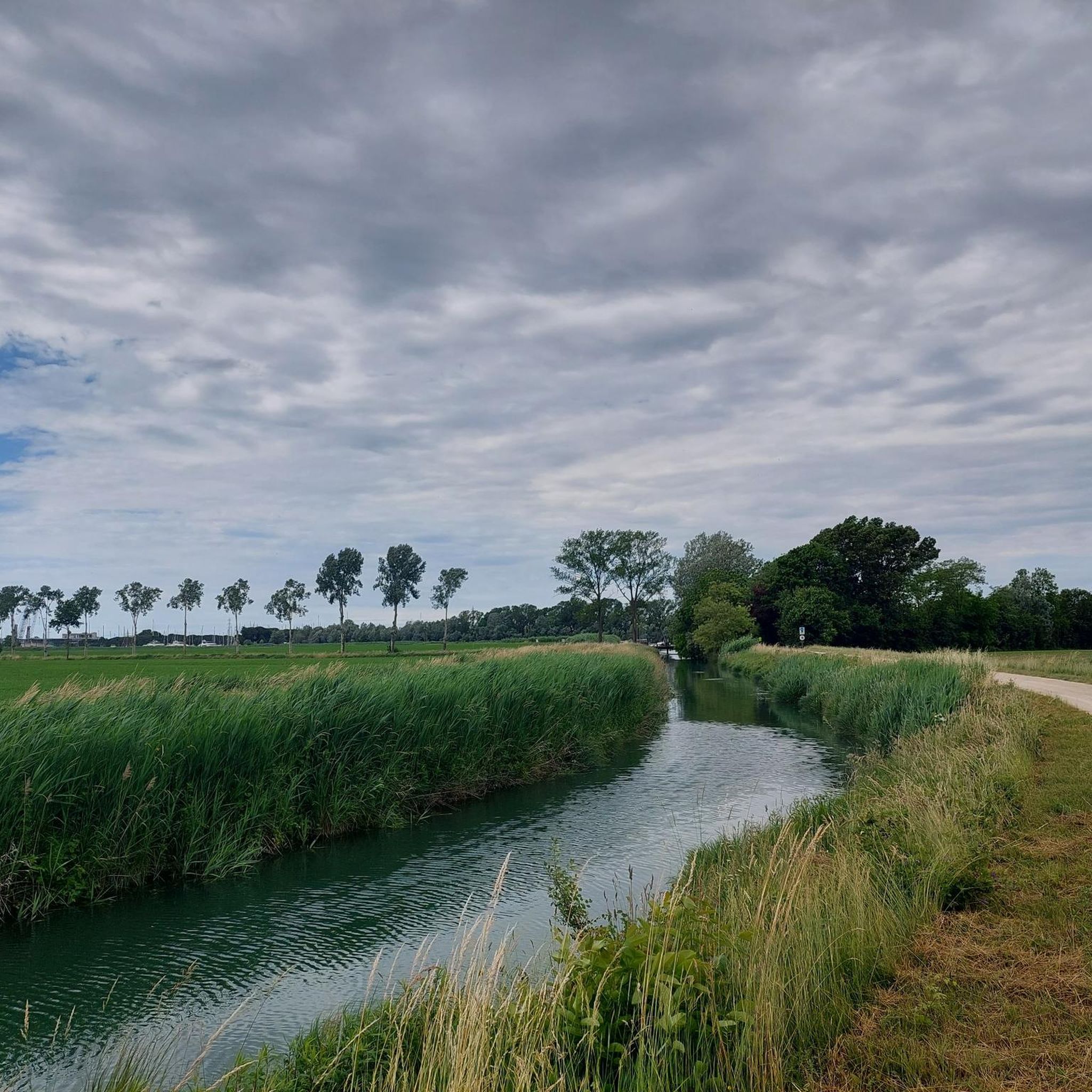
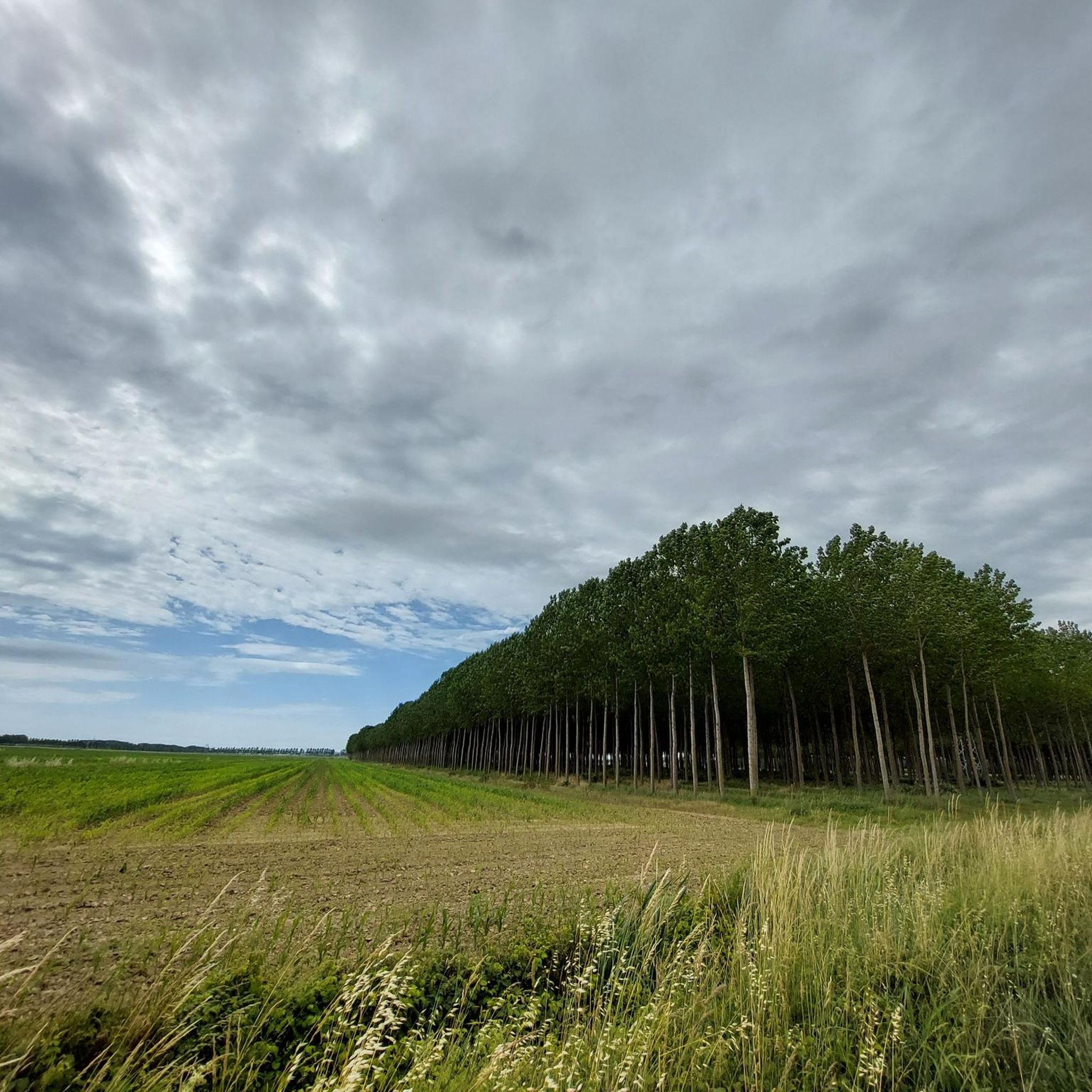
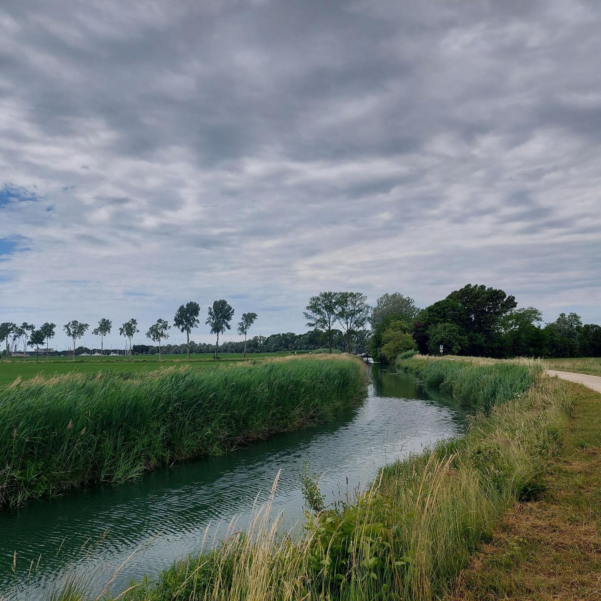
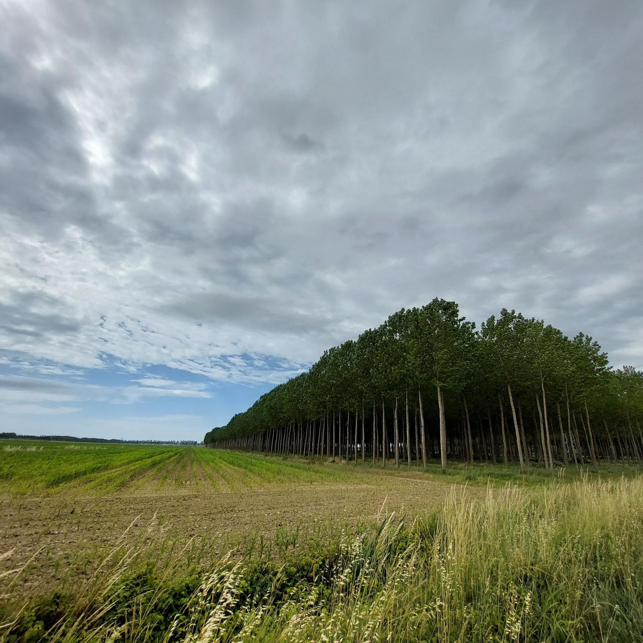
Hiking around Torviscosa reveals a landscape characterized by flat plains and extensive wetlands, including lagoons and biotope areas. The region features minimal elevation changes, making many routes accessible for various activity levels. These trails often traverse natural reserves and historical areas, offering a blend of natural scenery and cultural points of interest.
Best hiking trails around Torviscosa
- The most popular hiking route is Hiking loop from Cervignano del Friuli / Çarvignan, a 5.3 miles (8.6 km) trail that takes…
Last updated: November 4, 2026
5.0
(4)
13
hikers
8.59km
02:10
10m
10m
Moderate hike. Good fitness required. Easily walkable paths.
3.7
(3)
11
hikers
7.83km
01:58
10m
10m
Easy hike. Easily walkable paths.

5.0
(1)
9
hikers
Easy hike. Easily walkable paths.
4.7
(3)
16
hikers
Moderate hike. Good fitness required. Easily walkable paths.
4.3
(3)
15
hikers
Hard hike. Very good fitness required. Easily walkable paths.
Get access to more routes and recommendations from other explorers.
Already have an account?
Our route recommendations are based on thousands of hikes, rides, and runs completed by other people on komoot.
Start today with a free account
Your next adventure awaits.
Tips from the Community

Fantastic view, especially at sunset, the road to get there is not particularly easy
0
0

This section of the trail offers wonderful cycling on a single-track trail. The surface varies, ranging from loamy sand to grass to short gravel sections. In places, the trail is double-tracked. Numerous information boards and benches are located along the trail.
0
0

The Roman Forum is located on the cycle path through Aquileia
5
0

Ruins from Roman times. They are clearly visible from the FVG1 cycle path and can be visited free of charge during the day.
4
0

The Roman Forum of Aquileia was the center of the town's public life, functioning as a market, administrative center and meeting place for the inhabitants. Today, you can explore the remains of the Roman Forum, including the partially reconstructed basilica and the remains of various other buildings. These ruins offer a glimpse into the daily life and architecture of ancient Roman civilization.
5
0

Very interesting and worth a stop on the cycle path
6
0

The Roman Forum (Roman Market Square) in Rome is the oldest Roman forum and was the center of political, economic, cultural and religious life. It lies in a valley between the three city hills of Capitoline, Palatine and Esquiline and has been the site of many public buildings and monuments.
5
1
The Forum was the beating heart of the city's political, administrative and social life and consisted of a square lined with public buildings, the initial phase of which dates back to the 2nd century AD.
5
0
Frequently Asked Questions
How many hiking trails are available around Torviscosa?
There are over 110 hiking trails around Torviscosa, offering a wide range of options for different skill levels and preferences. The region is known for its flat plains and extensive wetlands.
Are there hiking options for beginners in Torviscosa?
Yes, Torviscosa is very beginner-friendly, with 68 easy routes available. These trails typically feature minimal elevation changes, making them ideal for those new to hiking or looking for a relaxed walk. An example is the Laguna Planais loop from Carlino / Cjarlins, an easy 4.9-mile (7.8 km) path exploring tranquil wetland scenery.
Are there any challenging hikes near Torviscosa?
While the region is largely flat, there are a few longer routes for those seeking a challenge. There are 3 difficult routes available. One such option is the Corno Marshes Biotope – Biotope of the Corno Marshes loop from Gonars / Gonârs, which spans 13.8 miles (22.2 km).
Are there family-friendly hiking trails in Torviscosa?
Absolutely. Many of the easy and moderate trails in Torviscosa are suitable for families, thanks to the generally flat terrain and scenic natural surroundings. The Biotope of the Corno Marshes loop from Gonars / Gonârs, for instance, is a 3.2-mile (5.2 km) easy trail that can be completed in about 1 hour 19 minutes, perfect for a family outing.
Can I bring my dog on hikes around Torviscosa?
Many trails in the Torviscosa area are dog-friendly, especially those through natural reserves and open plains. It's always recommended to keep your dog on a leash, especially in protected biotope areas, and to check local regulations for specific routes. Ensure you carry water for your pet, as some sections might be exposed.
Are there circular hiking routes in Torviscosa?
Yes, many of the hiking routes around Torviscosa are designed as loops, allowing you to start and end at the same point. Examples include the Hiking loop from Cervignano del Friuli / Çarvignan and the Cathedral of Cervignano del Friuli – Roman Forum of Aquileia loop from Cervignano - Aquileia - Grado, which combines natural beauty with historical sights.
What kind of landscape can I expect on hikes around Torviscosa?
Hikes around Torviscosa primarily feature flat plains and extensive wetlands, including lagoons and protected biotope areas. You'll often find yourself traversing natural reserves with rich birdlife and unique flora, offering a serene and immersive experience in nature.
Are there any waterfalls or notable natural sights along the trails?
While the region is mostly flat, you can find interesting natural features. For example, the Waterfall on the Cormor River is a notable natural monument. The area also boasts beautiful wetlands and lakes, such as the Pond with Water Lilies in Strassoldo and the white-flowered Nymphaea.
What historical or cultural points of interest can I find while hiking?
The region around Torviscosa is rich in history. Many trails pass through or near historical areas. For example, the Cathedral of Cervignano del Friuli – Roman Forum of Aquileia loop offers a chance to explore significant historical sites like the Roman Forum of Aquileia, blending natural walks with cultural discovery.
What is the best time of year to go hiking in Torviscosa?
The best time to hike in Torviscosa is typically during spring (April to June) and early autumn (September to October). During these periods, the weather is mild and pleasant, and the natural landscapes, especially the wetlands, are vibrant with flora and fauna. Summers can be hot, and winters can be damp and chilly.
Is parking available at the trailheads in Torviscosa?
Yes, parking is generally available near the starting points of many popular trails and in the towns surrounding Torviscosa. It's advisable to check specific route details on komoot for information on designated parking areas or nearby public parking facilities.
What do other hikers say about the trails in Torviscosa?
The trails in Torviscosa are highly rated by the komoot community, with an average score of 4.1 stars from over 140 reviews. Hikers often praise the peaceful atmosphere, the unique wetland scenery, and the accessibility of the routes for various fitness levels.
Most popular routes around Torviscosa
Most popular attractions around Torviscosa

Get inspired with the komoot mobile app


Explore more
Browse the best Hikes in other regions.
