The best walks and hikes around Santa Maria La Longa
4.3
(395)
2,810
hikers
144
hikes
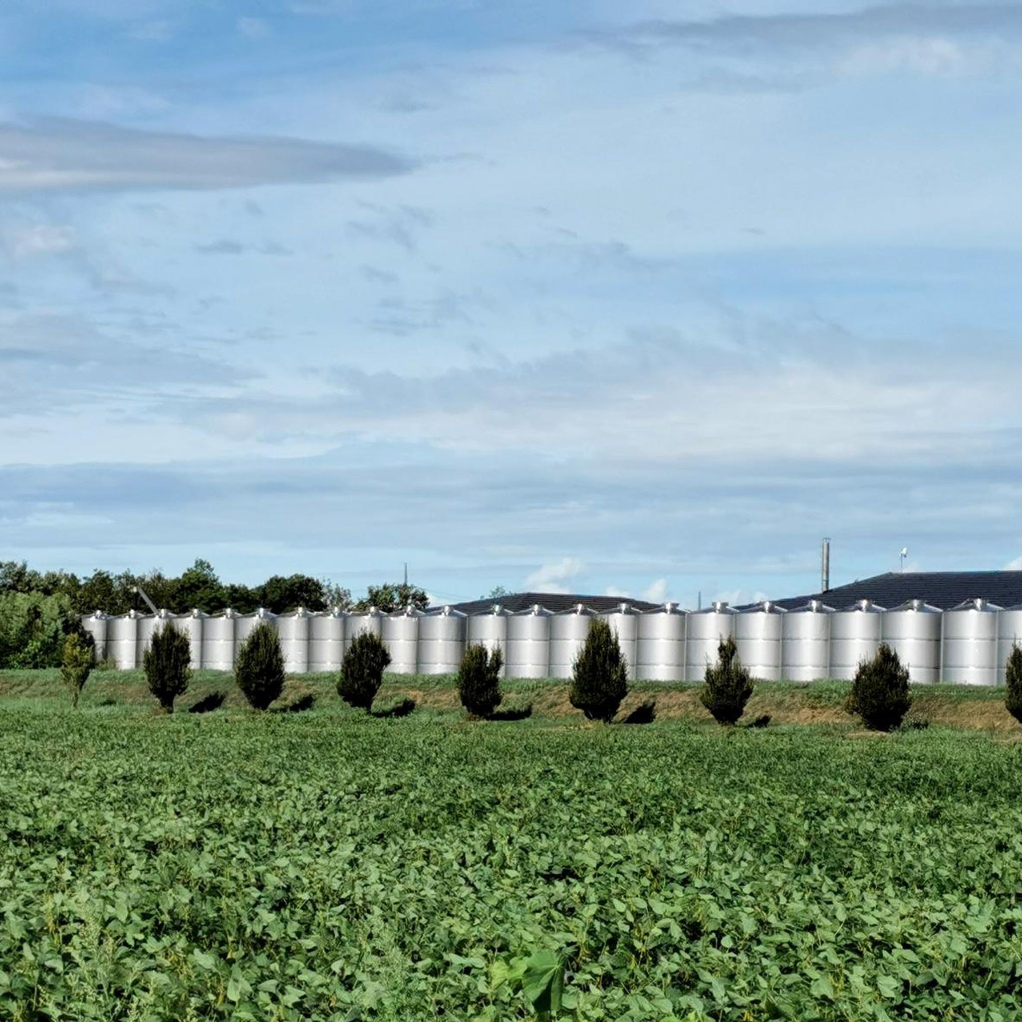
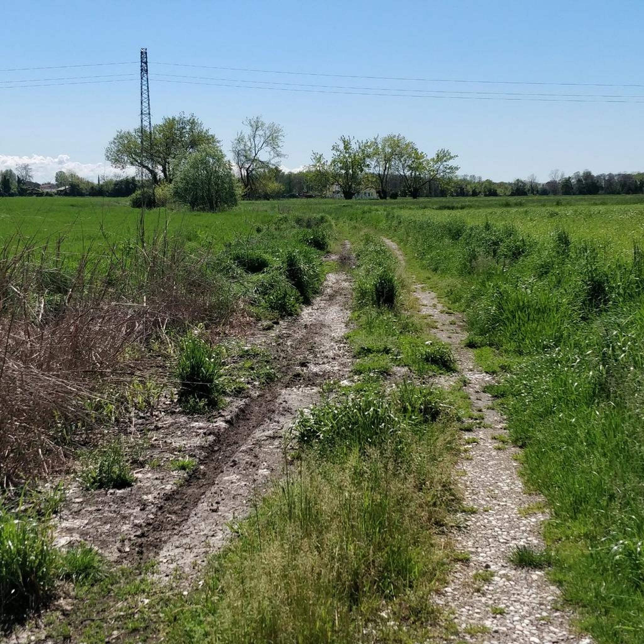
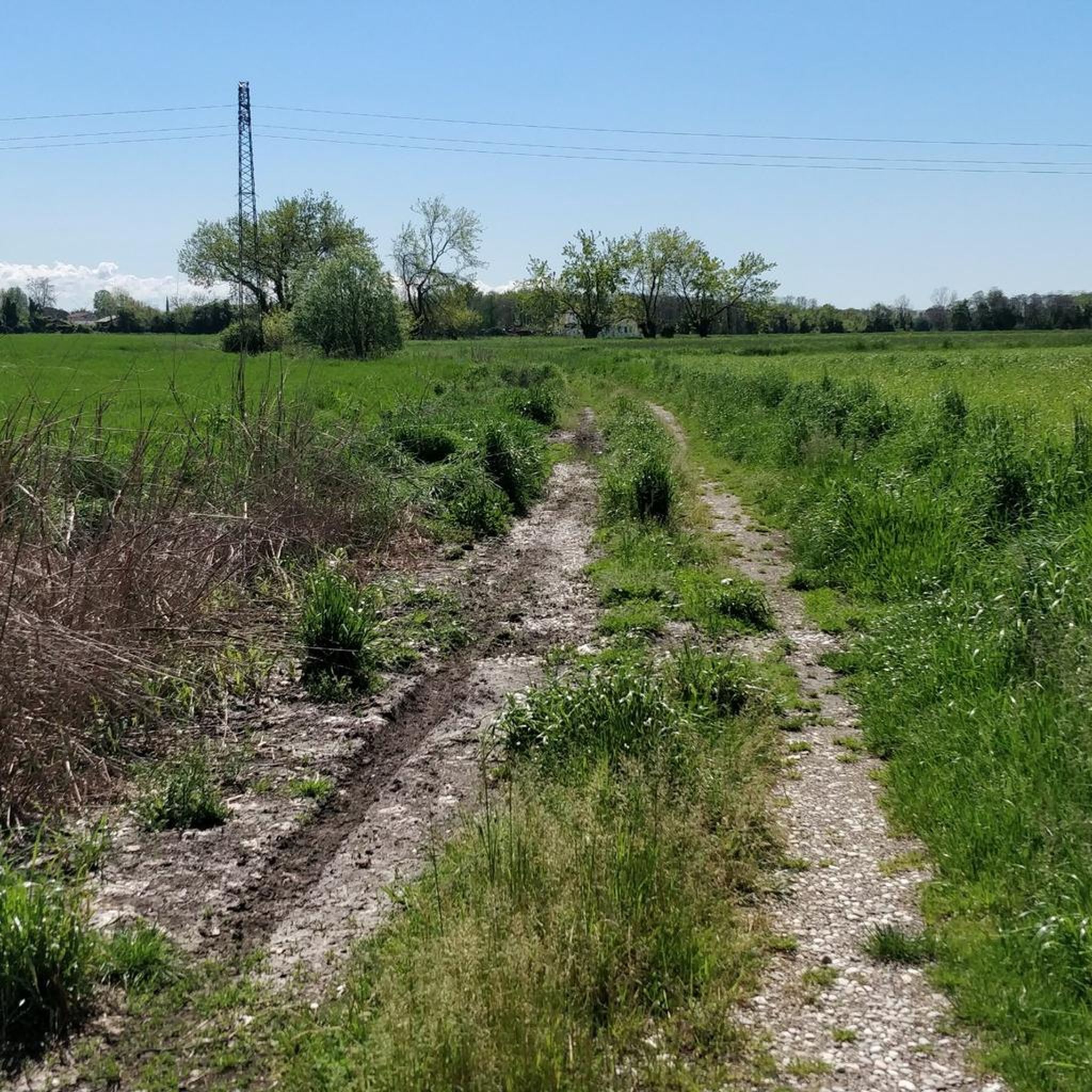
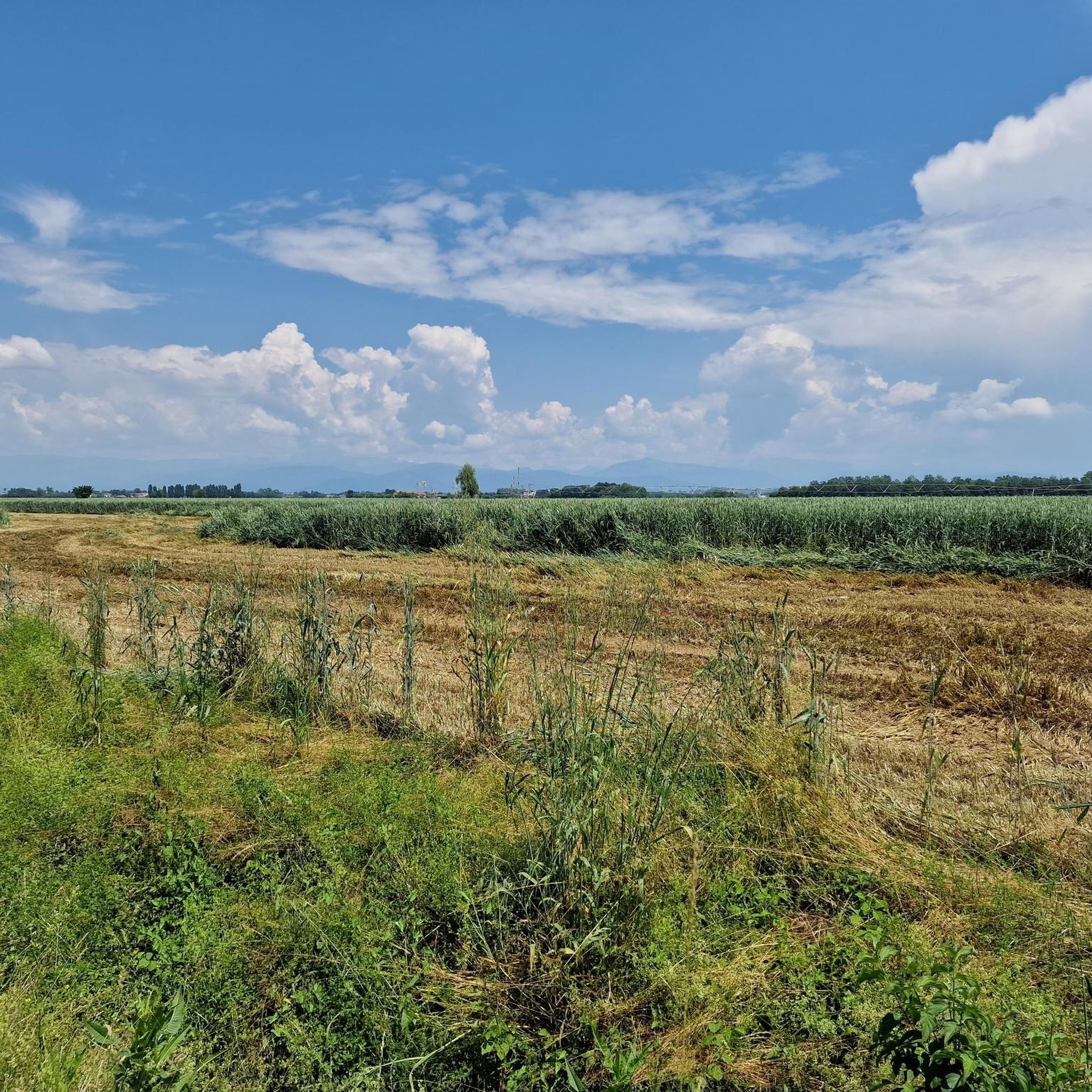
Hiking around Santa Maria La Longa offers a network of trails primarily characterized by flat terrain and gentle gradients. The landscape features open agricultural areas, paths connecting small villages, and routes that often pass by historical villas and the star-shaped fortress town of Palmanova. These easy hikes near Santa Maria La Longa provide accessible outdoor experiences for various activity levels.
Best hiking trails around Santa Maria La Longa
- The most popular hiking route is 10mila passi S.Maria la Longa wellness…
Last updated: November 7, 2026
3.0
(2)
6
hikers
5.96km
01:30
10m
10m
Easy hike. Easily walkable paths.
2
hikers
6.66km
01:41
10m
10m
Easy hike. Easily walkable paths.

4.6
(25)
216
hikers
Moderate hike. Good fitness required. Easily walkable paths.
4.0
(3)
13
hikers
6.28km
01:35
10m
10m
Easy hike. Easily walkable paths.
12
hikers
2.79km
00:43
10m
10m
Easy hike. Easily walkable paths.
Get access to more routes and recommendations from other explorers.
Already have an account?
Our route recommendations are based on thousands of hikes, rides, and runs completed by other people on komoot.
Start today with a free account
Your next adventure awaits.
Tips from the Community

A fortress town worth seeing
0
0

One of the three entrance gates of Palmanova, with Porta Aquileia and Porta Udine.
0
0

The Palmanova fortress is located on a site where spring water could have been an excellent defensive element, along with the moats. This machine was useful for moving the water.
0
0
The ingenuity of the Venetians in designing and building machines for various construction activities.
0
0

Villa Gallici Deciani has several indoor and outdoor areas.
0
0

Porta Cividale in Palmanova - along with Porta Aquileia and Porta Udine, each with their early Baroque outworks, is one of three city gates that provide access to the city through the fortified belt with three rings of fortresses. Palmanova itself was founded on October 7, 1593, as a planned city/fortress with a central square and radial street network in the shape of a nine-pointed star. It was the most important land base and served to protect the Republic of Venice from the Turks. Today it is a UNESCO World Heritage Site.
0
0

The city lies like a fortress, partially enclosed by a wall. The barracks behind this wall were supposed to be abandoned. A construction site has now been set up for the restoration of the barracks complex.
6
0
Beautiful route at the foot of the bastions along the city walls
0
0
Frequently Asked Questions
What is the general difficulty level of hiking trails around Santa Maria La Longa?
The hiking trails in Santa Maria La Longa are predominantly easy, characterized by flat terrain and gentle gradients. Out of 91 total routes, 50 are classified as easy, making the area very accessible for various activity levels. There are also 37 moderate and 4 difficult routes for those seeking a bit more challenge.
Are there family-friendly hiking options in Santa Maria La Longa?
Yes, Santa Maria La Longa is well-suited for family-friendly hikes due to its generally flat terrain and gentle gradients. Many routes, such as the 10mila passi S.Maria la Longa wellness trail, are relatively short and easy, perfect for walks with children.
What kind of landscapes can I expect to see while hiking in Santa Maria La Longa?
Hikers in Santa Maria La Longa will experience open agricultural areas, paths connecting small villages, and routes that often pass by historical villas. The landscape is generally flat, offering expansive views of the countryside and occasional glimpses of historical architecture, including the star-shaped fortress town of Palmanova.
Are there circular hiking routes available?
Yes, there are several circular routes. A notable one is the Porta Udine – Porta Aquileia loop from Palmanova, which takes you through the historic surroundings of Palmanova. Another option is the Udine Gate – Palmanova loop from Palmanova, offering a shorter circular experience.
What are some interesting historical sites or attractions to see along the trails?
Many routes in the area pass by historical villas and offer views of the fortified town of Palmanova. You can explore highlights like Palmanova itself, or specific historical gates such as Udine Gate and Porta Aquileia (Palmanova). The region also features charming places like Strassoldo Medieval Village and Watermills.
What is the typical length and duration of hikes in Santa Maria La Longa?
Hikes in Santa Maria La Longa vary in length, but many easy routes are designed for shorter outings. For example, the 10,000 Steps of Health: The Way of the Villas - North Trail is about 4.1 miles (6.7 km) and takes around 1 hour 40 minutes. Longer moderate routes, like the Porta Aquileia (Palmanova) – Udine Gate loop from Santa Maria la Longa, can be up to 8 miles (12.8 km) and take over 3 hours.
Is Santa Maria La Longa a good destination for beginner hikers?
Absolutely. With 50 out of 91 routes classified as easy, Santa Maria La Longa is an excellent destination for beginner hikers. The flat terrain and gentle gradients provide a comfortable and enjoyable experience for those new to hiking, allowing them to explore the countryside without significant physical demands.
What do other hikers say about the trails in Santa Maria La Longa?
The trails in Santa Maria La Longa are highly regarded by the komoot community, with an average rating of 4.4 stars from over 200 reviews. Hikers often praise the well-maintained paths, the peaceful agricultural scenery, and the opportunity to combine nature walks with historical exploration around Palmanova and the local villas.
Are there any challenging hiking trails for experienced hikers?
While the region is known for its easy and moderate routes, there are a few more challenging options. The guide lists 4 difficult routes out of 91 total. These routes typically feature longer distances or slightly more varied terrain compared to the predominantly flat paths, offering a greater physical challenge for experienced hikers.
Can I find hikes that connect to the historic town of Palmanova?
Yes, many routes in the area are designed to connect with or explore the historic surroundings of Palmanova. For instance, the Porta Udine – Porta Aquileia loop from Palmanova directly leads through the town's historic gates, allowing you to combine your hike with exploring this unique star-shaped fortress.
What is the best time of year to go hiking in Santa Maria La Longa?
Given the open agricultural landscapes and generally flat terrain, spring and autumn are ideal for hiking in Santa Maria La Longa. These seasons offer pleasant temperatures, vibrant natural colors, and comfortable conditions for exploring the trails and historical sites without the intense heat of summer or the potential for colder, wetter weather in winter.
Most popular routes around Santa Maria La Longa
Most popular attractions around Santa Maria La Longa

Get inspired with the komoot mobile app


Explore more
Browse the best Hikes in other regions.
