The best MTB trails around Rothselberg
4.5
(1258)
2,521
riders
310
rides
Mountain biking around Rothselberg offers a diverse landscape characterized by rolling hills, dense woodlands, and open fields. The region features a network of trails that traverse varied terrain, including paths near water features and routes leading to elevated viewpoints. Elevations are moderate, making the area accessible for different skill levels while still providing engaging climbs. The trails often connect small villages and natural landmarks, providing a mix of scenic and cultural points of interest.
Best mountain bike trails around Rothselberg
…Last updated: November 8, 2026
4.9
(11)
33
riders
Moderate mountain bike ride. Good fitness required.
4.6
(14)
15
riders
19.7km
01:18
230m
230m
Moderate mountain bike ride. Advanced riding skills necessary.

4.3
(3)
11
riders
Moderate mountain bike ride. Good fitness required. Advanced riding skills necessary.
4.5
(6)
10
riders
Easy mountain bike ride.
5.0
(4)
8
riders
17.1km
01:28
370m
370m
Moderate mountain bike ride. Good fitness required.
Get access to more routes and recommendations from other explorers.
Already have an account?
Our route recommendations are based on thousands of hikes, rides, and runs completed by other people on komoot.
Start today with a free account
Your next adventure awaits.

Tips from the Community

you can stop for refreshments and sit nicely outside
0
0
the parts look nice
0
0

The small bridge connects the 2 cycle paths running parallel along the stream near the Weilerbach Kneipp pool.
0
0

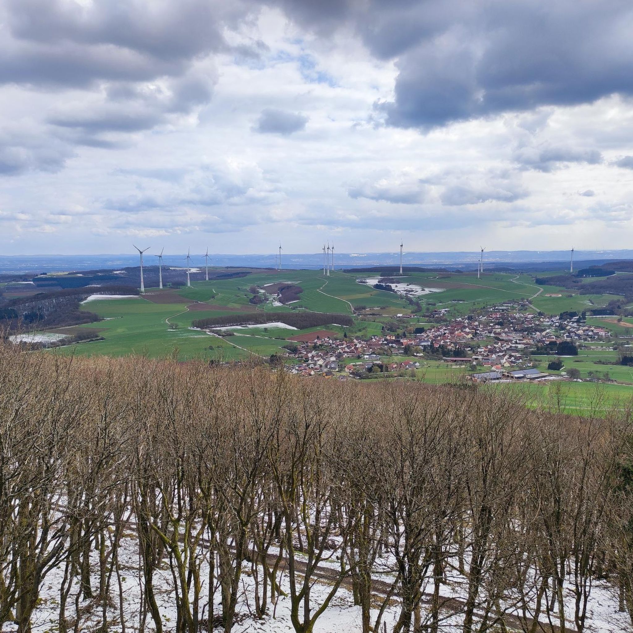
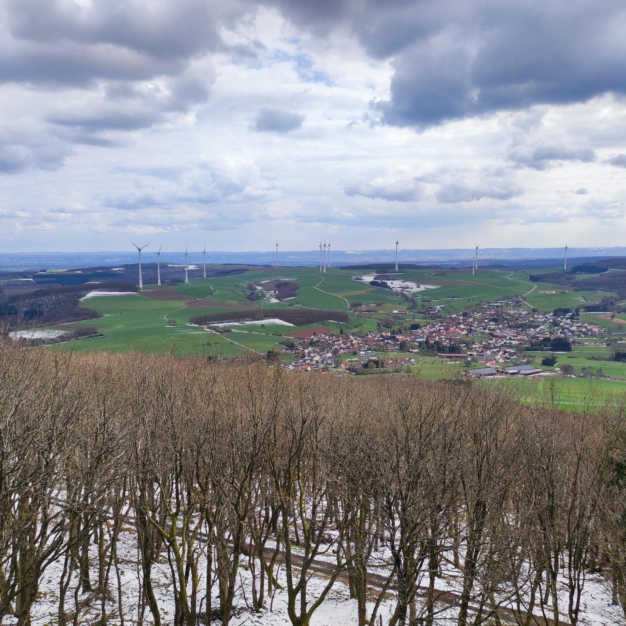
Very nice view at the end of Eulenbis but unfortunately not yet open today
0
0
It is a sandstone formation from the Rotliegend, the last phase of the Earth's ancient history from 296 - 251 million years ago. Sandstone forms from sediment layers at the bottom of rivers, which solidify under high pressure and over a long period. Sandstone formations differ by inclusions, e.g. iron veins. Sandstone without marl inclusions was sought after as a very stable building material.
0
0
Sculptures with seating for a break along the way
1
0
Frequently Asked Questions
How many mountain bike trails are available around Rothselberg?
There are over 350 mountain bike trails around Rothselberg, offering a wide variety of options for different skill levels and preferences.
Are there easy mountain bike trails suitable for beginners or families in Rothselberg?
Yes, Rothselberg offers nearly 100 easy mountain bike trails. A great option for a smooth ride is the Picnic Table by the Cycle Path – Short Connector Trail loop from Jettenbach, which follows a designated cycle path and is 21.8 km long with moderate elevation gain.
What kind of terrain can I expect on mountain bike trails in Rothselberg?
The region features diverse terrain, including rolling hills, dense woodlands, and open fields. You'll find paths near water features, routes leading to elevated viewpoints, and trails connecting small villages and natural landmarks. Elevations are generally moderate, providing engaging climbs without being overly strenuous.
Are there challenging mountain bike trails for advanced riders?
While the majority of trails are easy to moderate, there are 14 routes classified as difficult for those seeking a greater challenge. These trails typically feature more significant elevation gains and technical sections.
What are some notable landmarks or attractions I can see along the mountain bike trails?
Many trails pass by interesting points. For example, the Lower Pfeifermühle – Kneipp Basin Rodenbach loop from Kreimbach-Kaulbach explores areas around a historic mill and a Kneipp basin. You might also encounter highlights like the Ruins of Neu-Wolfstein Castle or the Historic Lauter Bridge.
Are there mountain bike trails that offer scenic viewpoints?
Yes, the region is known for its open vistas from elevated points. The Wind Farm Trail Palatinate – Eßweiler Glider Airfield loop from Jettenbach, for instance, leads through open wind farm areas, providing expansive views of the landscape.
Can I find mountain bike trails that are loop routes?
Many of the mountain bike trails in Rothselberg are designed as loops, allowing you to start and finish at the same point. Examples include the Picnic Table by the Cycle Path – Short Connector Trail loop from Jettenbach and the Erzenhausen Dripstone Cave – Erzenhausen Stork Nest loop from Eßweiler.
What do other mountain bikers say about the trails in Rothselberg?
The mountain bike trails around Rothselberg are highly regarded by the komoot community, with an average rating of 4.6 stars from over 1200 reviews. Riders often praise the diverse landscape, well-maintained paths, and the variety of routes suitable for different skill levels.
Are there any bike parks or dedicated MTB areas near Rothselberg?
Yes, there are several bike park highlights in the vicinity. You can explore areas like the Zigzag Trail, Sulzberg Descent, or the Green Monster Trail for more specialized riding experiences.
What is the best time of year to go mountain biking in Rothselberg?
The region's rolling hills and woodlands are enjoyable throughout the warmer months, typically from spring through autumn. Spring brings lush greenery, while autumn offers beautiful foliage. Always check local weather conditions before heading out.
Are there any trails that pass by interesting natural features like caves?
Yes, some routes incorporate unique natural features. For example, the Erzenhausen Dripstone Cave – Erzenhausen Stork Nest loop from Eßweiler passes by the Erzenhausen Dripstone Cave, offering an interesting point of interest during your ride.
How long do mountain bike trails typically take to complete in Rothselberg?
Trail durations vary widely depending on distance and difficulty. An easy 21.8 km route like the Picnic Table by the Cycle Path – Short Connector Trail loop from Jettenbach might take around 1 hour 25 minutes, while longer moderate routes, such as the 43.6 km Erzenhausen Dripstone Cave – Erzenhausen Stork Nest loop from Eßweiler, could take over 2 hours 50 minutes.
Most popular routes around Rothselberg
Most popular attractions around Rothselberg

Get inspired with the komoot mobile app


Explore more
Browse the best MTB trails in other regions.
