The best walks and hikes around Rothenbuch
4.6
(9769)
34,375
hikers
42
hikes
Hiking around Rothenbuch offers access to Germany's expansive Spessart forest, characterized by broadleaf woodlands, rolling hills, and clear streams. The region features ancient oak stands and the picturesque Hafenlohr Valley, which includes a boardwalk. Hikers can find panoramic views of Rothenbuch and the surrounding valleys from elevated trails. The area also includes serene bodies of water like Kalter-Grund Lake and Grimmwiesensee Neuhütten.
Best hiking trails in Rothenbuch
- The most popular hiking route is Bomig Lake – Linden Avenue Rothenbuch loop…
Last updated: November 1, 2026
4.7
(87)
358
hikers
Moderate hike. Good fitness required. Mostly walkable paths. Sure-footedness required.
4.5
(19)
62
hikers
12.4km
03:35
300m
300m
Moderate hike. Good fitness required. Easily walkable paths.

4.6
(18)
78
hikers
8.43km
02:19
140m
140m
Moderate hike. Good fitness required. Easily walkable paths.
4.8
(11)
37
hikers
17.4km
04:57
390m
390m
Moderate hike. Good fitness required. Easily walkable paths.
4.5
(4)
17
hikers
12.3km
03:33
300m
300m
Moderate hike. Good fitness required. Easily walkable paths.
Get access to more routes and recommendations from other explorers.
Already have an account?
Our route recommendations are based on thousands of hikes, rides, and runs completed by other people on komoot.
Start today with a free account
Your next adventure awaits.

Tips from the Community

Besides the Fleckensteinsmühle, there was also the „Maidelsmühle“ in/near Neuhütten.
2
0

From here you can reach the boardwalk in the Hafenlohrtal.
0
0

This is a great place to relax. No cars 🚗 or airplanes ✈️, blissful peace and quiet.
1
0
There are several ways to continue your journey from here.
1
0

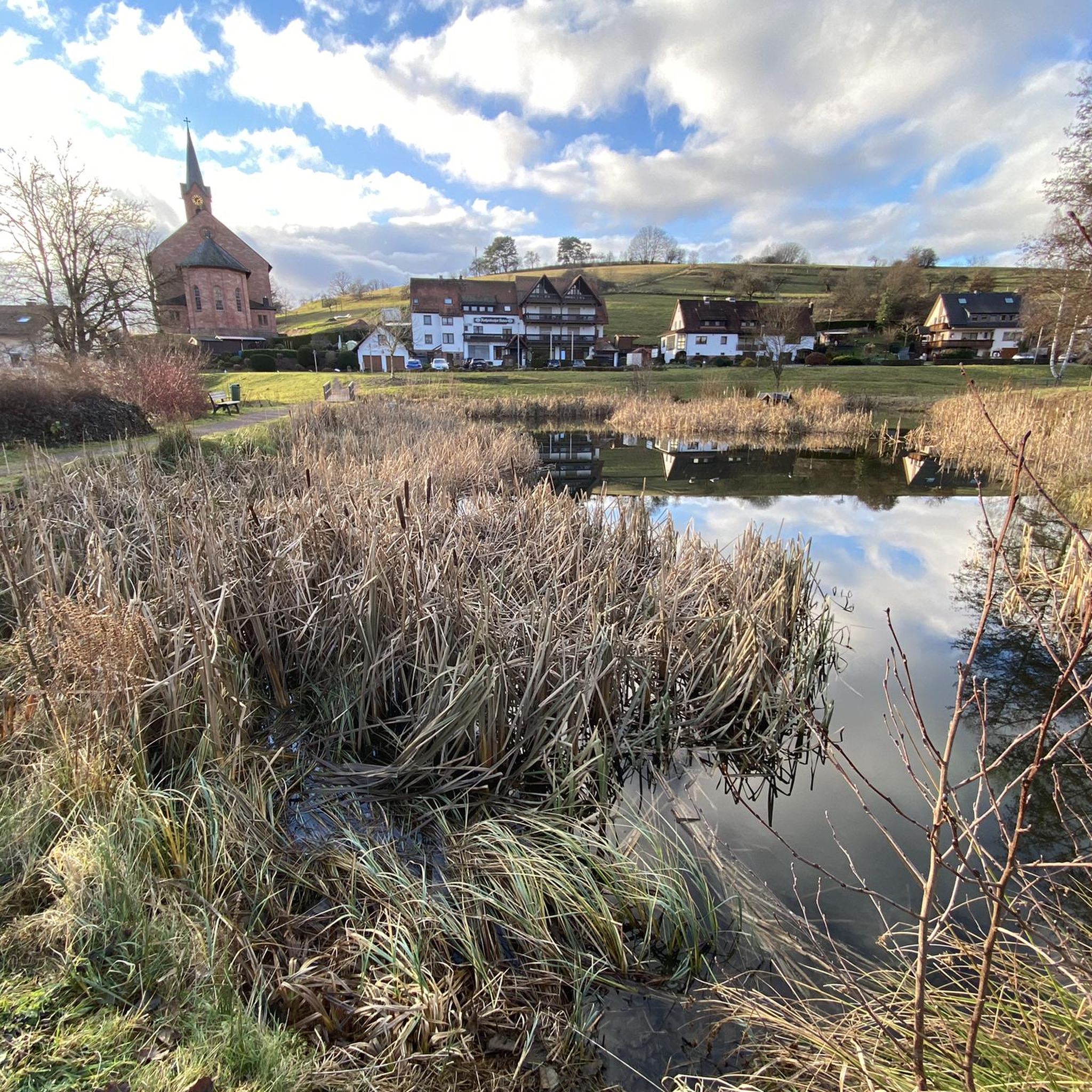
Rothenbuch is one of the oldest and most important towns in the Inner Spessart region. The first documented mention of "zuo den Rodenboychen" dates back to 1318, when the Archbishop of Mainz, Peter von Aspelt, and the Bishop of Würzburg, Gottfried III von Hohenlohe, concluded a security cooperation agreement here. In 1342, construction began on a castle in Rothenbuch, at the source of the Hafenlohr River. The first inhabitants were likely settled there as hunting lodgers. During the Peasants' War of 1525, the castle was severely damaged or destroyed. In 1566, the castle was rebuilt and expanded on the orders of Daniel Brendel von Homburg, Elector of Mainz. The first depiction of Rothenbuch can be found on one of the oldest existing Spessart maps, the so-called Pfinzig map from 1594. Source: Wikipedia
2
0
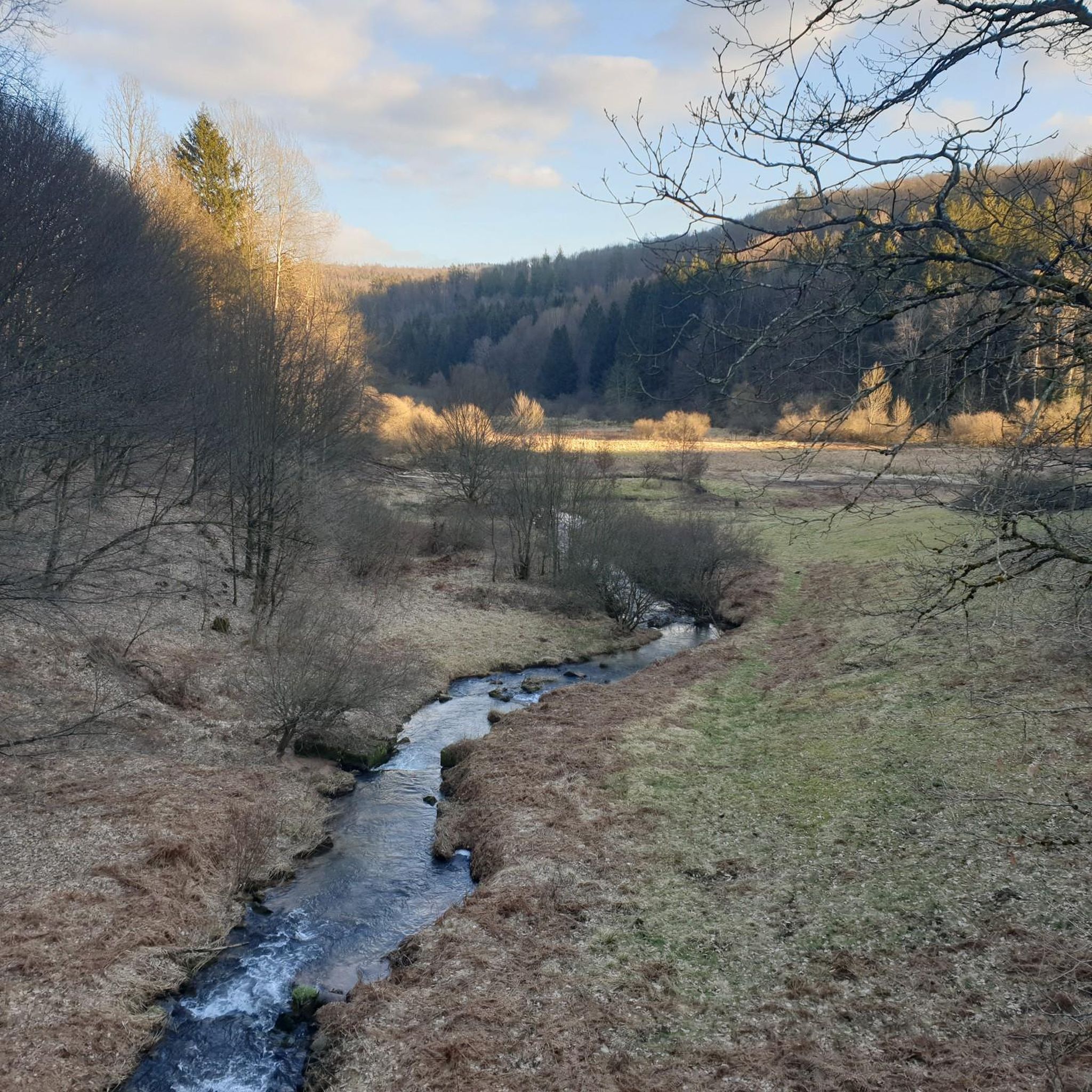
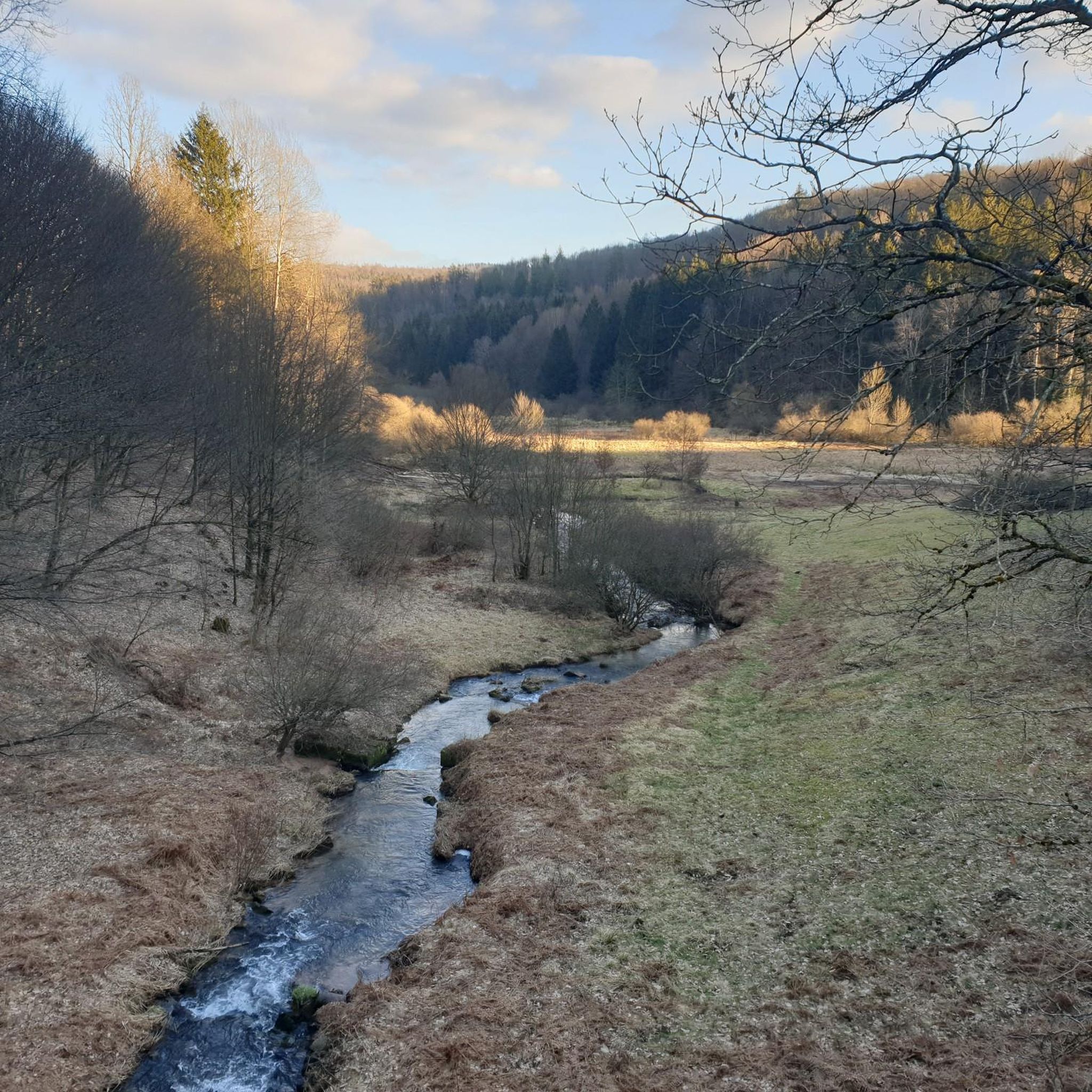
The Maidelsmühle is located directly on the “Lohrbach”.
2
0

Nice opportunity for a short rest in the open space to enjoy the sun a little
1
0

The wayside cross on the Eselsweg is a historical landmark and a lovely place to stop for a moment. Not only does it mark an important point on the route, but it also invites you to enjoy the surroundings and appreciate the importance of such markings on old paths. An ideal rest point during the hike.
7
0
Frequently Asked Questions
How many hiking trails are available in Rothenbuch?
Rothenbuch offers a wide variety of hiking experiences with over 40 trails. These range from easy strolls to more challenging routes, catering to different fitness levels and interests within the Spessart forest.
Are there easy hiking trails suitable for beginners or families in Rothenbuch?
Yes, Rothenbuch has over 20 easy hiking trails. A great option for families or those seeking a relaxed walk is the Rothenbuch Village Fountain – Panorama Trail Rothenbuch loop, which is 7.1 km long and offers panoramic views of the Spessart landscape.
What kind of natural features can I expect to see on hikes around Rothenbuch?
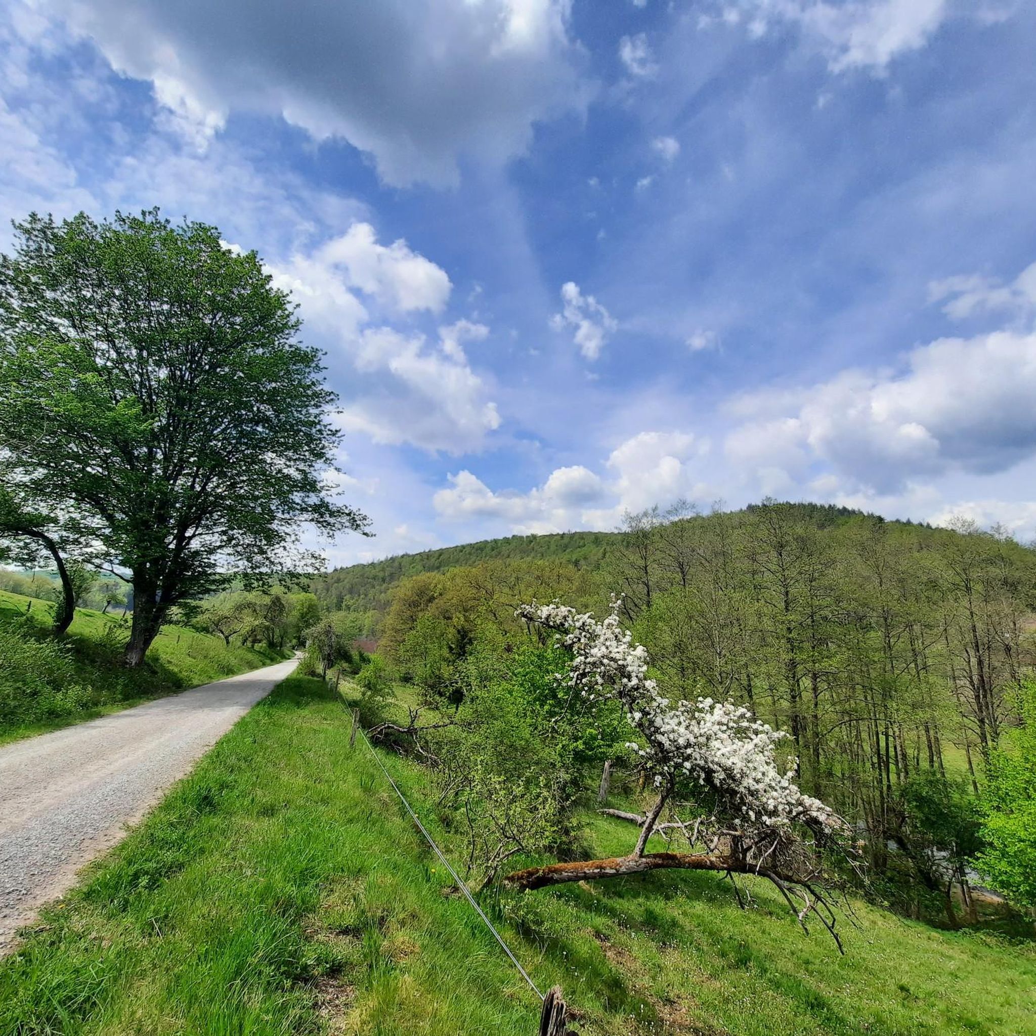
Hiking around Rothenbuch immerses you in Germany's expansive Spessart forest, known for its pristine broadleaf woodlands, rolling hills, and clear streams. You'll encounter ancient oak stands and picturesque areas like the Hafenlohr Valley, which features a distinctive cultural and natural landscape with a boardwalk. Serene bodies of water such as Kalter-Grund Lake and Grimmwiesensee Neuhütten are also integrated into popular hiking loops.
Are there any circular hiking routes in Rothenbuch?
Many of the trails in Rothenbuch are circular, offering convenient starting and ending points. For example, the Bomig Lake – Linden Avenue Rothenbuch loop is a moderate 10.6 km circular route with varied forest paths and views of Bomig Lake.
What are some notable landmarks or attractions to see while hiking in Rothenbuch?
Rothenbuch is rich in both natural and historical attractions. The historic Rothenbuch Castle (Schloss Rothenbuch) is a significant landmark and a central hub for many routes. You can also explore the picturesque Hafenlohr Valley, or visit serene lakes like Kalter-Grund Lake. Additionally, the area is dotted with small monuments, including stone crosses and memorial stones, adding historical intrigue to your walks.
Are there any viewpoints or panoramic vistas on the hiking trails?
Yes, several trails offer expansive panoramic views. The Rothenbuch Village Fountain – Panorama Trail Rothenbuch loop is specifically known for its panoramic vistas of the surrounding Spessart landscape. The longer Panorama Trail Rothenbuch also provides breathtaking views from its elevated paths.
Can I find places to eat or rest along the hiking routes in Rothenbuch?
Yes, there are several huts and restaurants in the vicinity that can serve as resting spots or places to grab a meal. Notable options include the Hohewart-Haus, Sylvan Forester's Lodge in the Weihersgrund, and the Fischereihütte Inn Beer Garden.
What do other hikers say about the trails in Rothenbuch?
The hiking trails in Rothenbuch are highly regarded by the komoot community, with an average rating of 4.6 out of 5 stars from over 170 reviews. Hikers often praise the quiet woodlands, well-marked paths, and the diverse natural beauty of the Spessart forest.
Are there any trails that pass by lakes or water features?
Absolutely. The Kalter-Grund Lake – Grimmwiesensee Neuhütten loop is a popular 17.5 km trail that leads through woodlands and past two scenic lakes, Kalter-Grund Lake and Grimmwiesensee Neuhütten. The Hafenlohr river, originating at Rothenbuch Castle, also features prominently in some routes.
Are there any historical trails or paths with cultural significance?
Yes, Rothenbuch offers trails with historical context. The Robber's Path (Räuberweg) is a 13-kilometer circular trail that blends history with nature, featuring varied terrain and highlighting the Hafenlohr Valley. For a shorter historical walk, the Mill Path (Mühlenweg) is a 3-kilometer circular trail that follows a historic community mill with informative boards detailing its past.
What is the terrain like on hikes in Rothenbuch?
The terrain in Rothenbuch is characterized by rolling hills and dense broadleaf woodlands, typical of the Spessart forest. You can expect a mix of natural paths, forest tracks, and some field sections. Elevation gains vary, with some moderate trails featuring ascents of around 300-400 meters, while easy trails have gentler inclines.
Most popular routes around Rothenbuch
Most popular attractions around Rothenbuch

Get inspired with the komoot mobile app


Explore more
Browse the best Hikes in other regions.
