The best mountain hikes around Jenesien - San Genesio Atesino
4.8
(73)
750
hikers
63
hikes
Mountaineering routes around Jenesien - San Genesio Atesino traverse a diverse landscape above Bolzano in South Tyrol, Italy. The region features the Salten (Salto plateau), Europe's highest larch plateau, offering undulating paths and panoramic views of the Dolomites. Notable geological formations include the Earth Pyramids and the "Stoanernen Mandln" (Stone Men), alongside impressive rock faces like the Noafer Bichl. This area is bordered by the Val Sarentino and Valle dell'Adige, providing varied terrain for alpine activities.
Best mountaineering routes around…
Last updated: October 10, 2026
4.8
(5)
38
hikers
Moderate mountaineering route. Good fitness required. Easily-accessible paths. Suitable for all skill levels.
4.7
(3)
45
hikers
Moderate mountaineering route. Good fitness required. Easily-accessible paths. Suitable for all skill levels.

18
hikers
15.7km
05:09
620m
620m
Hard mountaineering route. Very good fitness required. Mostly accessible paths. Sure-footedness required.
14
hikers
Moderate mountaineering route. Good fitness required. Easily-accessible paths. Suitable for all skill levels.
5.0
(1)
12
hikers
Moderate mountaineering route. Good fitness required. Easily-accessible paths. Suitable for all skill levels.
Get access to more routes and recommendations from other explorers.
Already have an account?
Our route recommendations are based on thousands of hikes, rides, and runs completed by other people on komoot.
Start today with a free account
Your next adventure awaits.
Popular around Jenesien - San Genesio Atesino
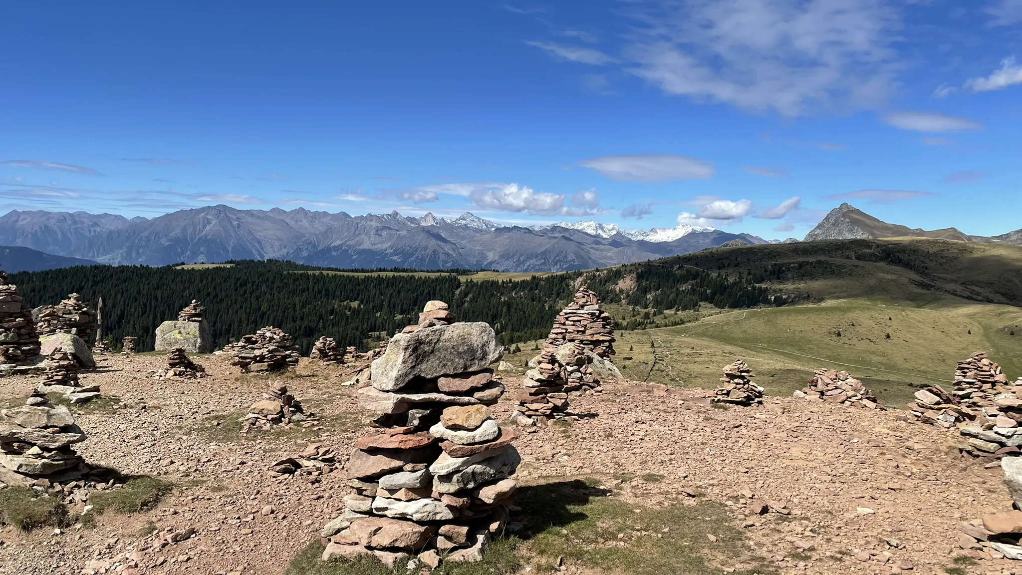
The mountains of South Tyrol – trail running from Bolzano
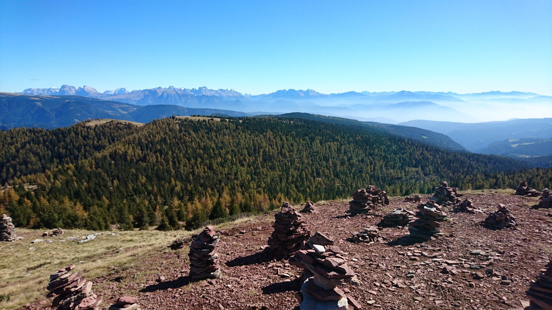
Exciting Tours in the mountains – hiking around Bolzano
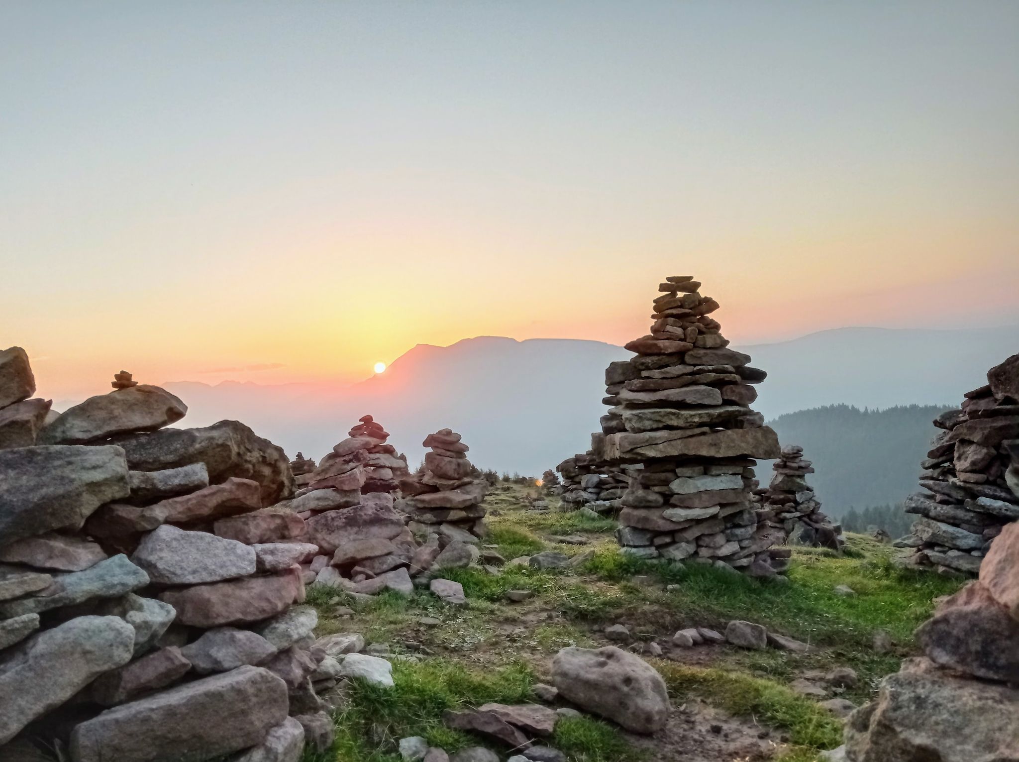
Wanderung zu den "Stoanernen Mandlen"
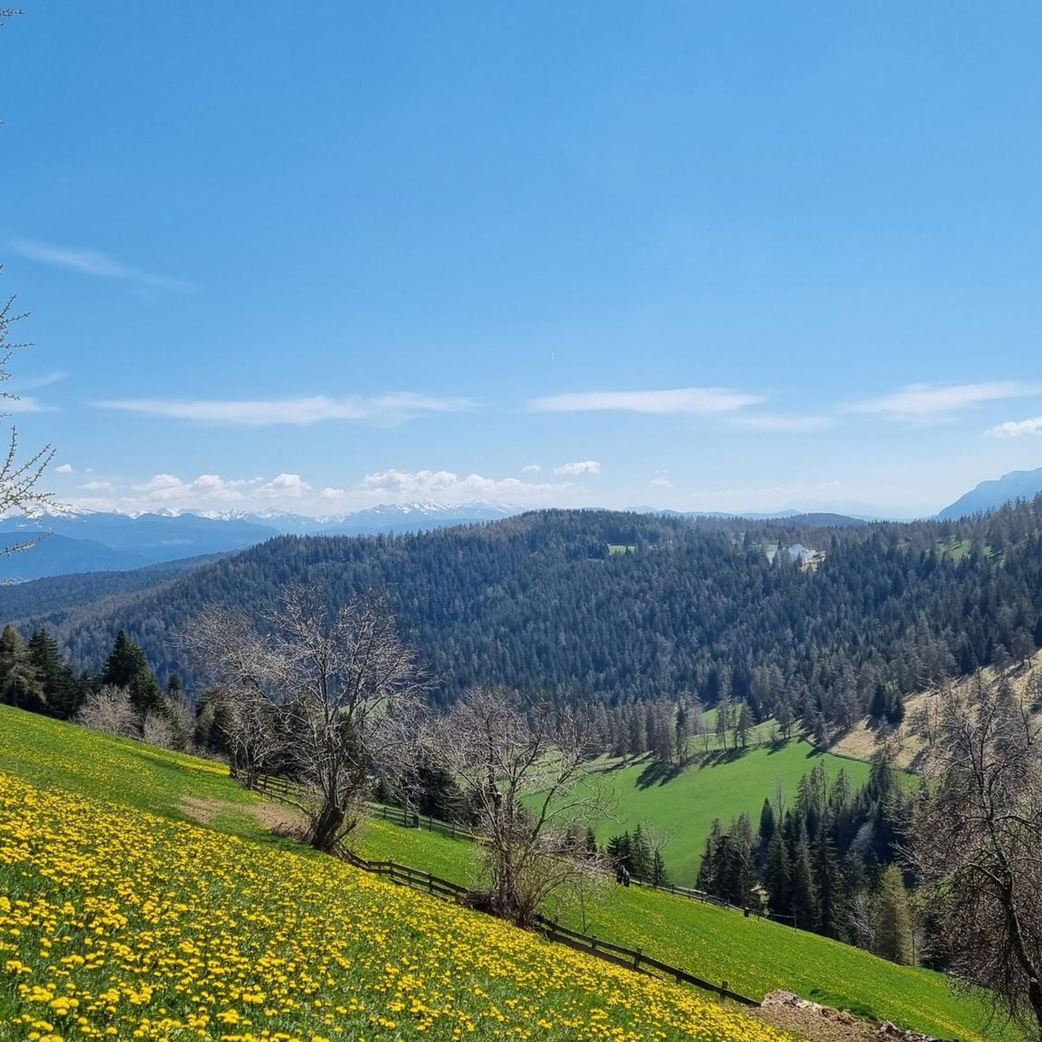
Hiking around Jenesien - San Genesio Atesino
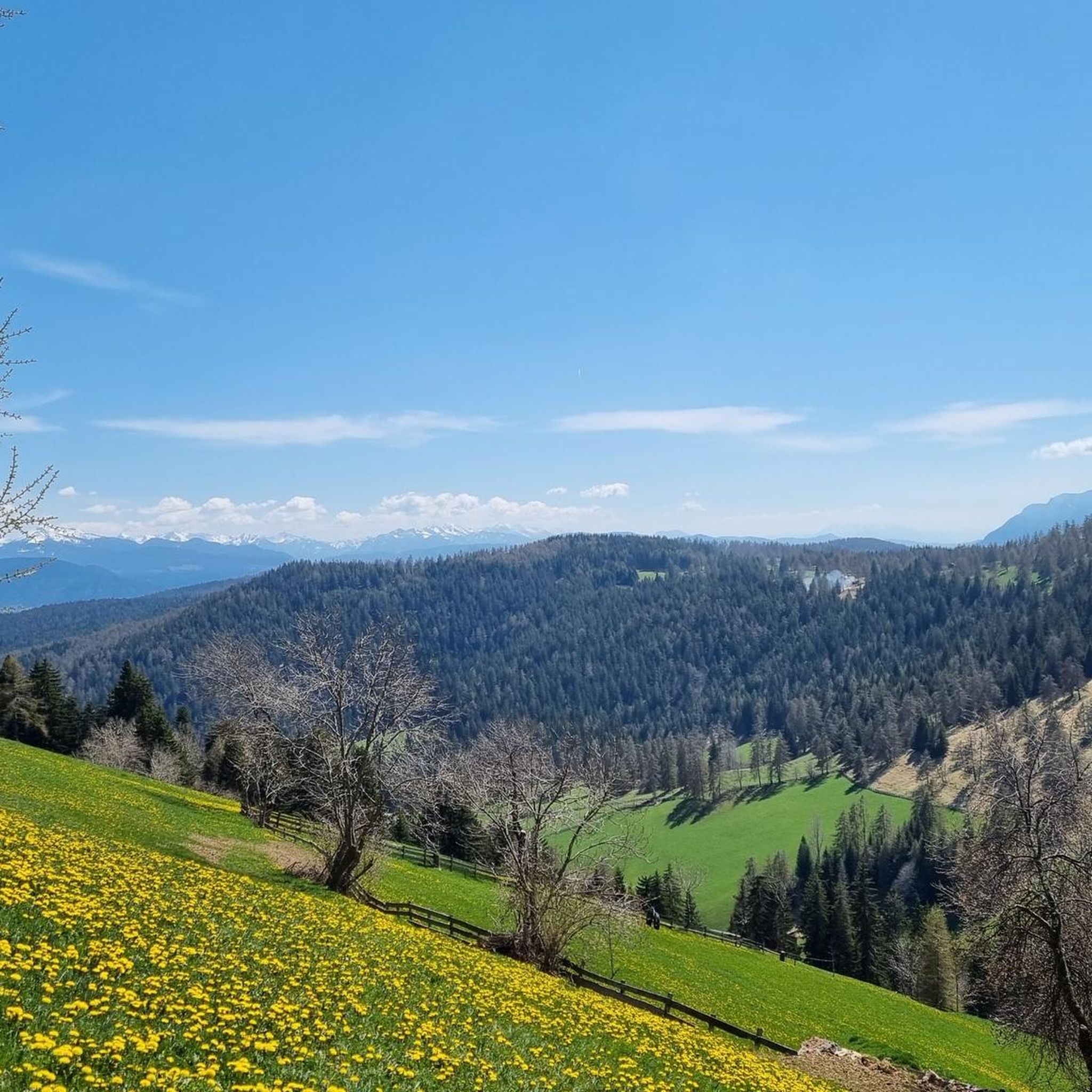
Road Cycling Routes around Jenesien - San Genesio Atesino
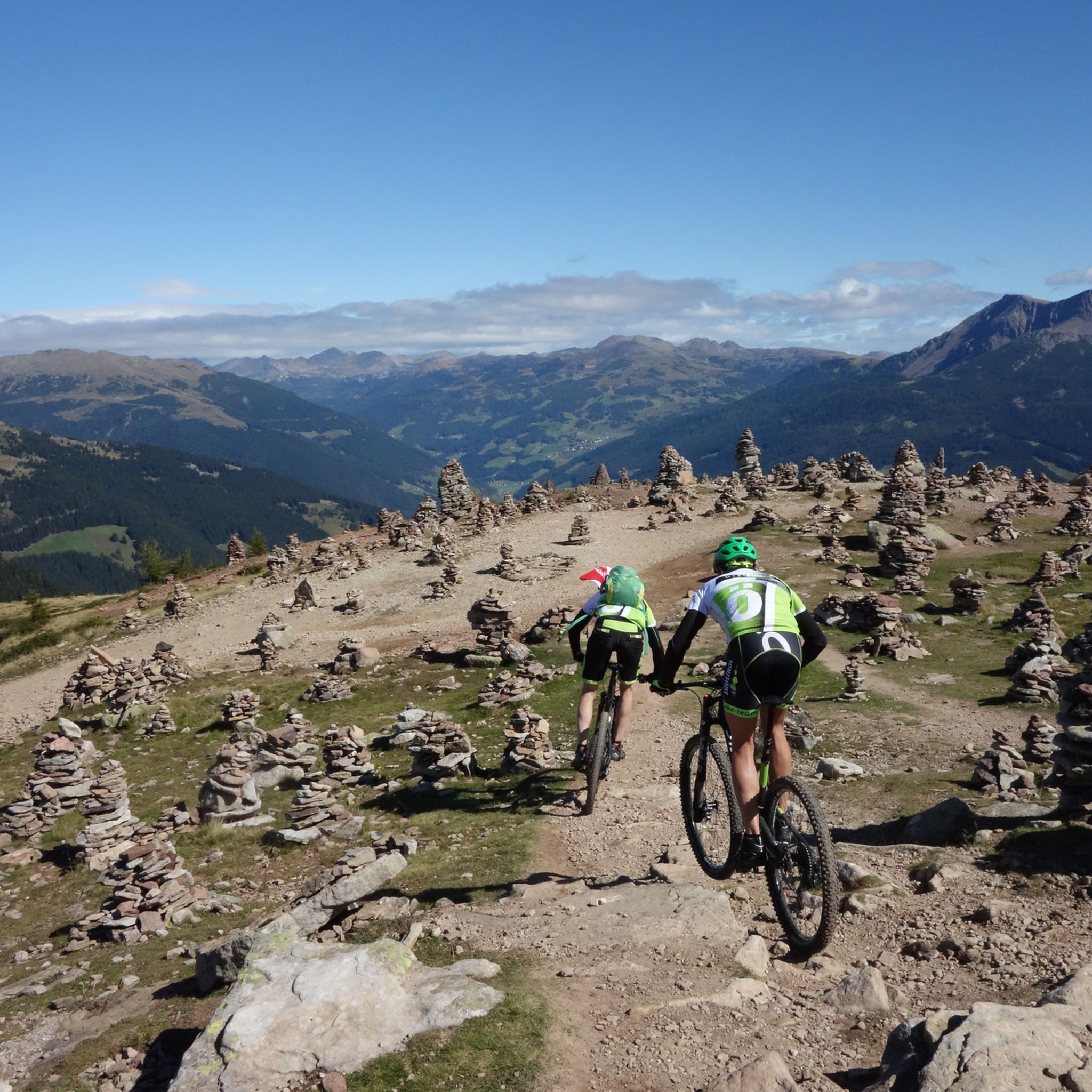
MTB Trails around Jenesien - San Genesio Atesino
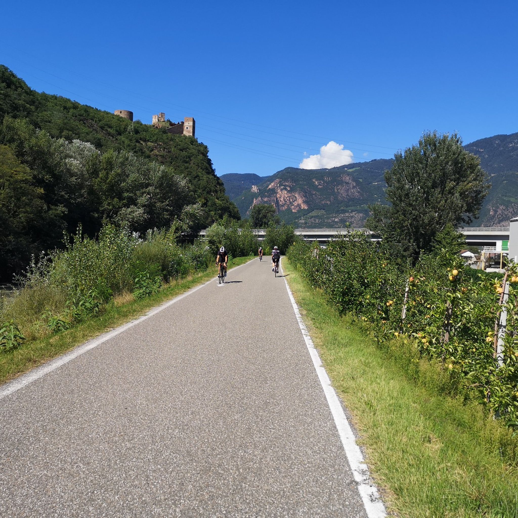
Cycling around Jenesien - San Genesio Atesino
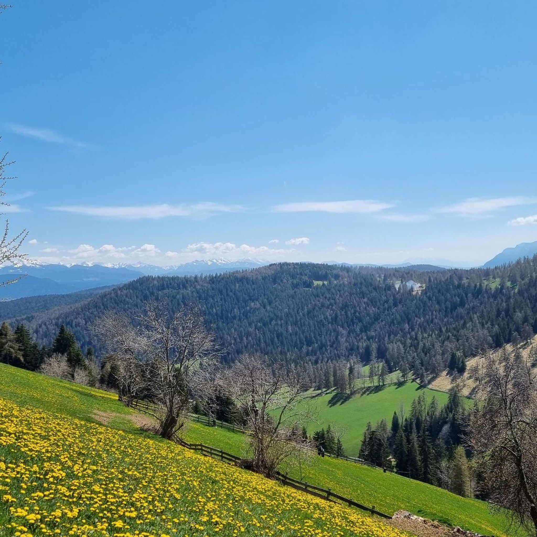
Running Trails around Jenesien - San Genesio Atesino
Gravel biking around Jenesien - San Genesio Atesino
Other adventures around Jenesien - San Genesio Atesino


Tips from the Community

Pastures with very tame horses and cows on the way to the Stoanerne Mandln.
6
0
An interesting whim of nature with bizarrely twisted tree trunks.
5
0
Beautiful view from the forest path onto the mountain landscape of the Dolomites with the Rosengarten, among others.
5
0
Artificially created water feature, where the water is channeled over several small wooden fountains.
7
0

Hot or cold. Sweet or savory. You can get everything your heart desires at the Alm. Friendly service; we'll definitely be back.
3
0

Beautiful crocus flowers.
0
0

Crossroads for Trails or Malga Passing Through on Tours
2
0
Frequently Asked Questions
How many mountaineering routes are available around Jenesien - San Genesio Atesino?
There are over 60 mountaineering routes in the Jenesien - San Genesio Atesino region. These routes traverse diverse landscapes, from the high Salten plateau to challenging alpine terrain, offering options for various skill levels.
What are the typical difficulty levels for mountaineering routes in Jenesien - San Genesio Atesino?
The routes in Jenesien - San Genesio Atesino range from moderate to difficult. You'll find around 36 moderate routes, perfect for those with some experience, and 27 more challenging trails for seasoned mountaineers. There are also a few easier options for beginners.
Are there any family-friendly mountaineering routes in the area?
While many routes are moderate to difficult, the region does offer some easier paths suitable for families. The gently undulating paths across the Salten (Salto plateau) are generally more accessible. For a specific example, consider the Stoanerne Mandln Viewpoint – Stoanerne Mandln (Stone Cairns) loop from Biotop Fahrer Weiher - Biotopo Stagno Fahrer, which is a moderate 9.4 km route that can be a good option for active families.
What natural landmarks or viewpoints can I expect to see along the mountaineering routes?
Jenesien - San Genesio Atesino is rich in natural wonders. You can encounter the unique geological formations of the Stoanerne Mandln (Stone Cairns), the impressive Earth Pyramids of Lengmoos, and enjoy panoramic views from spots like Knottnkino on Rotsteinkogel or the View of Merano from the Piffinger Köpfl. The region also offers stunning vistas of the Dolomites.
Are there any circular mountaineering routes available?
Yes, many of the mountaineering routes in Jenesien - San Genesio Atesino are circular, allowing you to start and end at the same point. Popular options include the Jenesier Jöchl Alpine Hut – Stoanerne Mandln Viewpoint loop from Flaas - Valas, or the Stoanerne Mandln Viewpoint – Stoanerne Mandln (Stone Cairns) loop from Flaas - Valas.
What is the best time of year for mountaineering in Jenesien - San Genesio Atesino?
The region is beautiful year-round, but for mountaineering, late spring through early autumn (May to October) generally offers the most favorable conditions with pleasant temperatures and clear trails. Even in late autumn, routes like those leading to the Corno del Renon Hut (Rittner Horn Hut) can be accessible, providing 360-degree panoramic views.
Can I bring my dog on the mountaineering trails?
Many trails in the Jenesien - San Genesio Atesino region are dog-friendly, but it's always recommended to check specific route regulations or local signage. Ensure your dog is well-behaved, kept on a leash where required, and that you carry waste bags. The diverse terrain, from larch plateaus to forest paths, offers varied experiences for you and your canine companion.
Are there options for public transport to reach the trailheads?
Yes, Jenesien - San Genesio Atesino is well-connected. A cable car links Bolzano directly to San Genesio, making the area easily accessible and offering scenic views during the ascent. This can be a convenient way to reach the starting points for many routes without needing a car.
What kind of terrain can I expect on the mountaineering routes?
The terrain is quite varied. You'll find gently undulating paths across Europe's highest larch plateau, the Salten, offering easy walking. Other routes involve more challenging alpine terrain, including impressive rock formations like the Noafer Bichl, and ascents to peaks with significant elevation changes. Expect a mix of forest paths, open meadows, and rocky sections.
What do other mountaineers enjoy most about the routes in Jenesien - San Genesio Atesino?
The area is highly rated by the komoot community, with an average score of 4.8 stars. Reviewers often praise the breathtaking panoramic views of the Dolomites, the unique natural features like the Stoanerne Mandln, and the diverse terrain that caters to various skill levels. The well-maintained trails and the sense of unspoilt nature are also frequently highlighted.
Are there any huts or places to rest along the mountaineering routes?
Yes, you'll find mountain huts that offer opportunities for rest and refreshments. For instance, the Corno del Renon Hut (Rittner Horn Hut) is a popular destination, providing stunning 360-degree views. The Moschwald Alm is another hut that can be reached on some routes, offering a welcoming stop.
How long do the mountaineering trails typically take to complete?
The duration of the trails varies significantly based on distance and difficulty. For example, a moderate route like the Kreuzjöchl (1,984 m) – Ritten High Plateau Viewpoint loop from Sarner Skihütte - Rifugio Sarentino, which is about 10.9 km, typically takes around 3 hours and 36 minutes. Longer routes, such as the 15.1 km Jenesier Jöchl Alpine Hut – Stoanerne Mandln Viewpoint loop from Flaas - Valas, can take closer to 4 hours and 43 minutes.
Most popular routes around Jenesien - San Genesio Atesino
Most popular attractions around Jenesien - San Genesio Atesino

Get inspired with the komoot mobile app


Explore more
Browse the best Mountain Hikes & Routes in other regions.
