The best walks and hikes around Rositz
4.6
(3954)
12,121
hikers
31
hikes
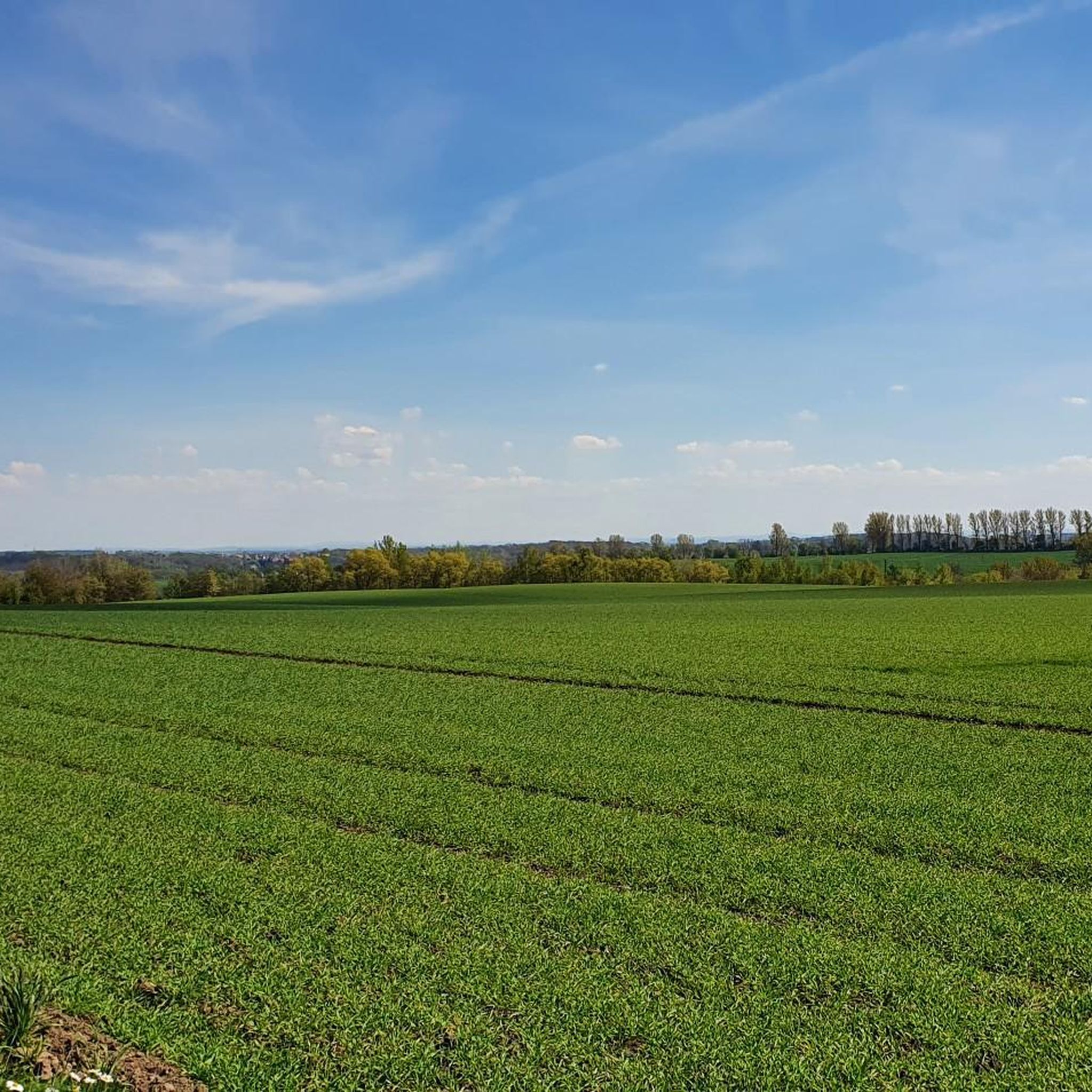
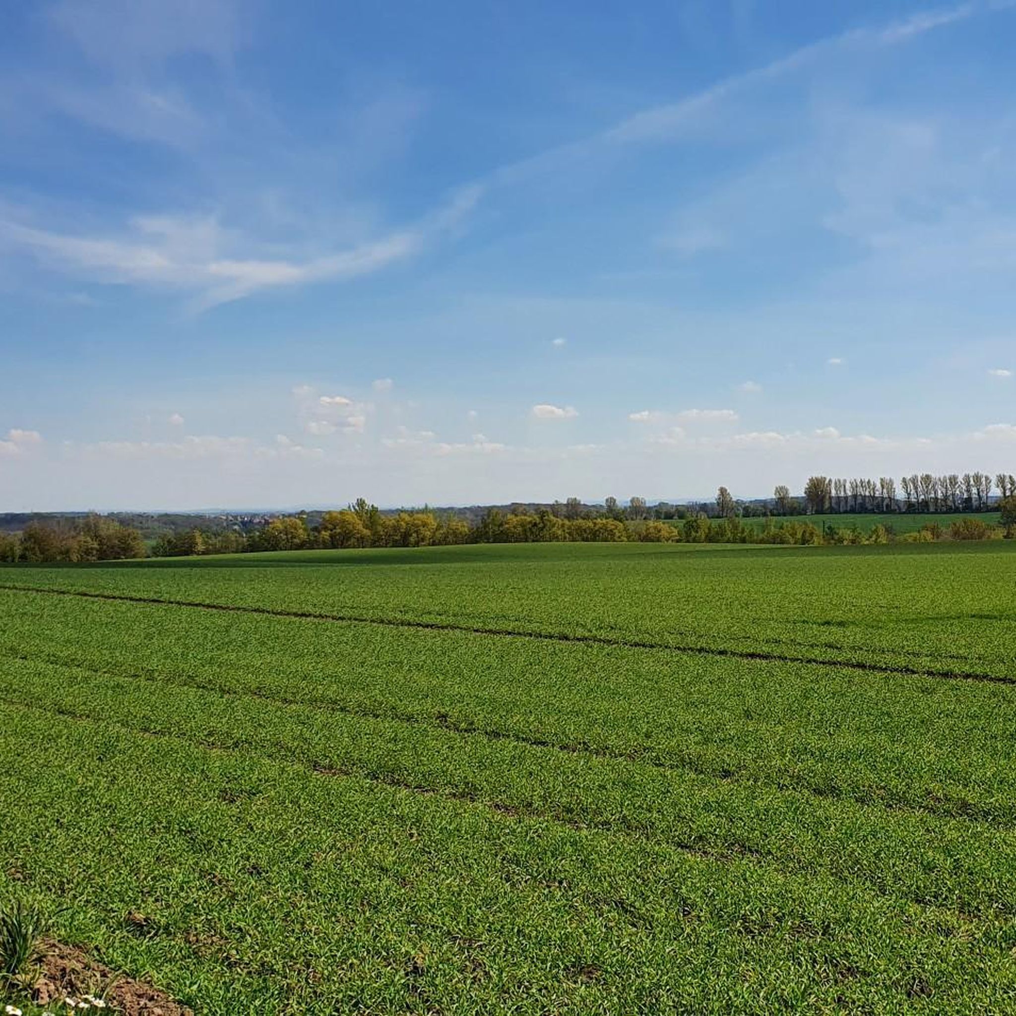
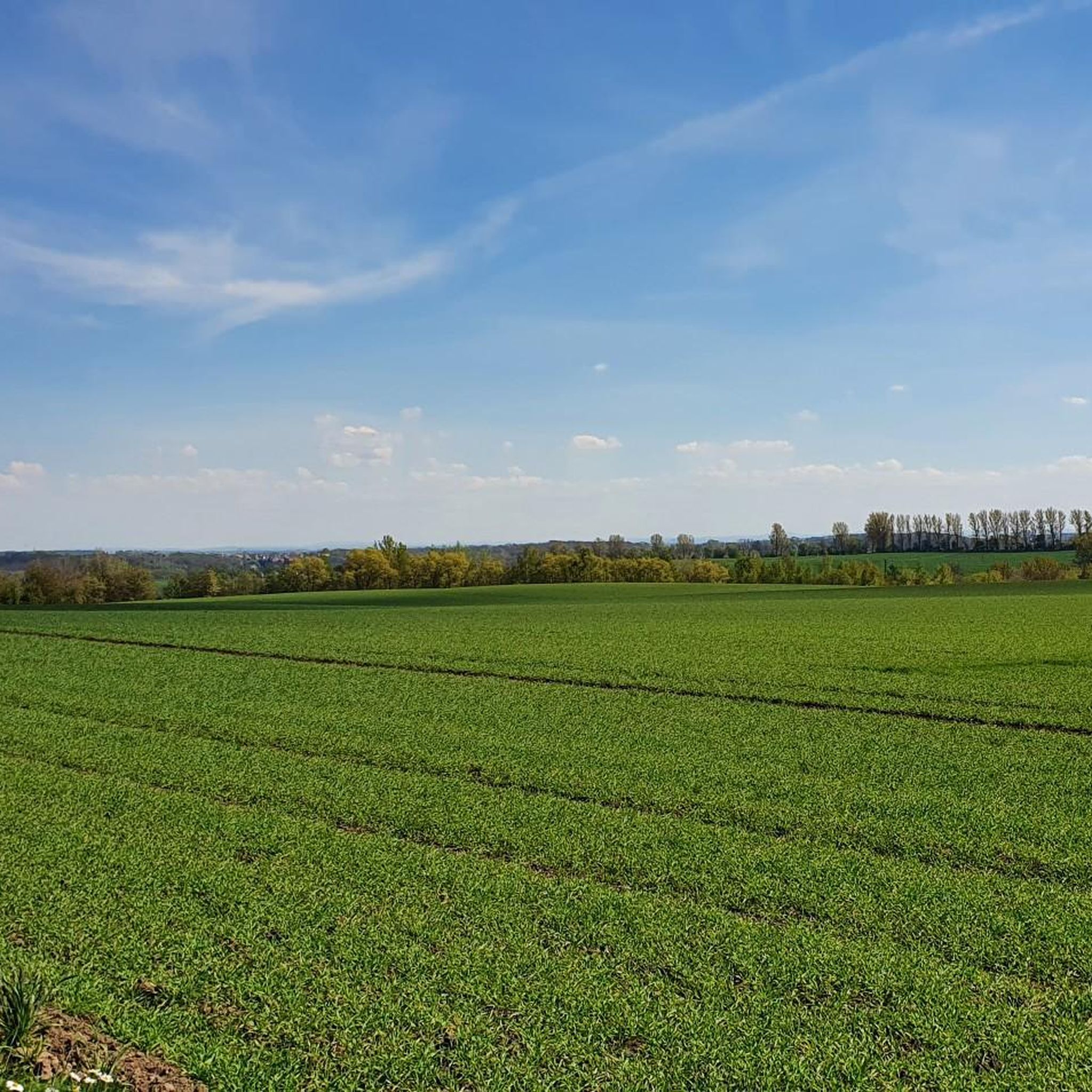
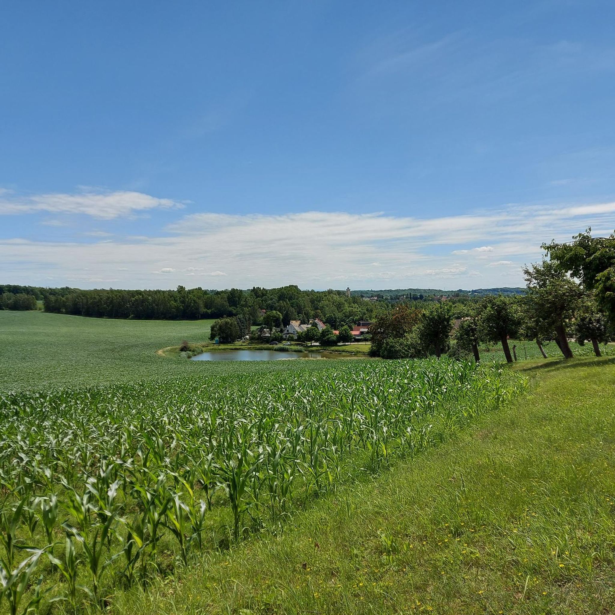
Hiking around Rositz offers diverse natural features in the east of Thuringia, Germany. The region is characterized by rolling hills, picturesque forests, and a network of rivers, lakes, and ponds. These landscapes provide varied terrain for exploring on foot, including areas within the Thuringian Slate Mountains/Upper Saale Nature Park.
Best hiking trails around Rositz
- The most popular hiking route is Church of Rositz – Bernsteinhof Rositz loop from Rositz, a 6.4 miles (10.4 km) trail that takes 2 hours…
Last updated: September 28, 2026
4.6
(5)
21
hikers
10.3km
02:42
80m
80m
Moderate hike. Good fitness required. Easily-accessible paths. Suitable for all skill levels.
4.5
(2)
11
hikers
6.63km
01:47
80m
80m
Easy hike. Great for any fitness level. Easily-accessible paths. Suitable for all skill levels.

4.3
(6)
9
hikers
13.4km
03:32
120m
120m
Moderate hike. Good fitness required. Easily-accessible paths. Suitable for all skill levels.
5.0
(1)
8
hikers
7.27km
01:56
70m
70m
Easy hike. Great for any fitness level. Easily-accessible paths. Suitable for all skill levels.
8
hikers
6.24km
01:41
80m
80m
Easy hike. Great for any fitness level. Easily-accessible paths. Suitable for all skill levels.
Get access to more routes and recommendations from other explorers.
Already have an account?
Our route recommendations are based on thousands of hikes, rides, and runs completed by other people on komoot.
Start today with a free account
Your next adventure awaits.
Tips from the Community

Memorial at Gormaer Pond, which is always populated by waterfowl. A playground is also located right there. Perfect for a break with children.
1
0

The water tower, with a height of 41.50 meters, is visible from far away, and in good visibility even beyond the Altenburg region.
0
0

“The Eugenschacht underground mine north and west of Großröda was in operation between 1900 and 1960. Also in 1900, the Eugen-Schacht briquette factory opened, which produced until 1928.” Source: Wikipedia
0
0
Cute half-timbered house opposite the Rositzer church. ⛪️
3
0
Monument to the past.
3
0


Beautiful path for hiking and cycling
0
0
For a short break in between
0
0
Frequently Asked Questions
How many hiking trails are available around Rositz?
Rositz offers a diverse network of over 30 hiking trails. These routes cater to various preferences, from leisurely strolls to more challenging hikes through the region's picturesque landscapes.
What is the best time of year to go hiking in Rositz?
The summer months, from June to August, are particularly recommended for hiking in Rositz, offering pleasant weather to enjoy the region's natural beauty. However, spring and autumn also provide beautiful scenery with milder temperatures, ideal for exploring the forests and riverbanks.
Are there easy hiking routes suitable for families or beginners in Rositz?
Yes, Rositz features 23 easy hiking routes, perfect for families or those new to hiking. An excellent option is the Historic Village Well – View of the Wind Farm loop from Rositz, an easy 4.1-mile (6.6 km) path that takes about 1 hour 46 minutes and offers scenic views of the local landscape.
Are there any circular hiking routes in Rositz?
Many of the trails around Rositz are designed as circular routes, allowing you to start and end at the same point. For example, the Church of Rositz – Bernsteinhof Rositz loop from Rositz is a popular moderate circular trail covering 6.4 miles (10.4 km).
What kind of landscapes can I expect to see while hiking in Rositz?
Hiking in Rositz will lead you through diverse and picturesque natural features. You can expect to see rolling hills, charming forests, and a network of rivers, lakes, and ponds. Trails often follow the Pleiße River or venture into areas like the Thuringian Slate Mountains/Upper Saale Nature Park, offering extensive natural beauty.
What do other hikers enjoy most about the trails in Rositz?
The trails in Rositz are highly rated by the komoot community, with an average score of 4.7 stars from over 500 reviews. Hikers often praise the serene environment, the variety of landscapes including forests and water features, and the well-maintained paths that make for an enjoyable outdoor experience.
Are there any specific attractions or landmarks to look out for on the hikes?
Yes, the region around Rositz offers several interesting sights. You might encounter historical sites like Windischleuba Castle or natural features such as the Fockendorf Reservoir and the Large Pond. The Eschefelder Ponds Nature Reserve is also a notable natural monument in the vicinity.
Are there dog-friendly hiking routes in Rositz?
Many trails in Rositz are suitable for hiking with dogs, allowing you to explore the natural surroundings with your canine companion. It's always recommended to keep dogs on a leash, especially in nature protection areas or near wildlife, and to respect local regulations.
Where can I find parking for hiking trails in Rositz?
Parking facilities are generally available near popular trailheads and central locations in Rositz. Specific parking information can often be found on individual route descriptions on komoot, helping you plan your starting point conveniently.
Are there options for public transport to access hiking routes in Rositz?
Rositz has public transport connections that can help you reach various starting points for hikes. For detailed information on bus or train routes and schedules, it's best to consult local public transport providers to plan your journey effectively.
Are there places to eat or drink along the hiking routes in Rositz?
While some routes might pass by villages or towns with cafes and restaurants, many trails in Rositz traverse natural areas. It's advisable to check the specific route details for any refreshment stops or to pack your own snacks and drinks, especially for longer hikes.
What is the difficulty level of hikes in Rositz?
The hiking trails in Rositz range from easy to moderate. Out of 32 available routes, 23 are classified as easy, and 9 are moderate, meaning there are no difficult trails. This variety ensures there's a suitable option for almost every fitness level.
Most popular attractions around Rositz

Get inspired with the komoot mobile app


Explore more
Browse the best Hikes in other regions.
