The best mountain hikes around Ruffrè-Mendola
4.5
(32)
230
hikers
22
hikes
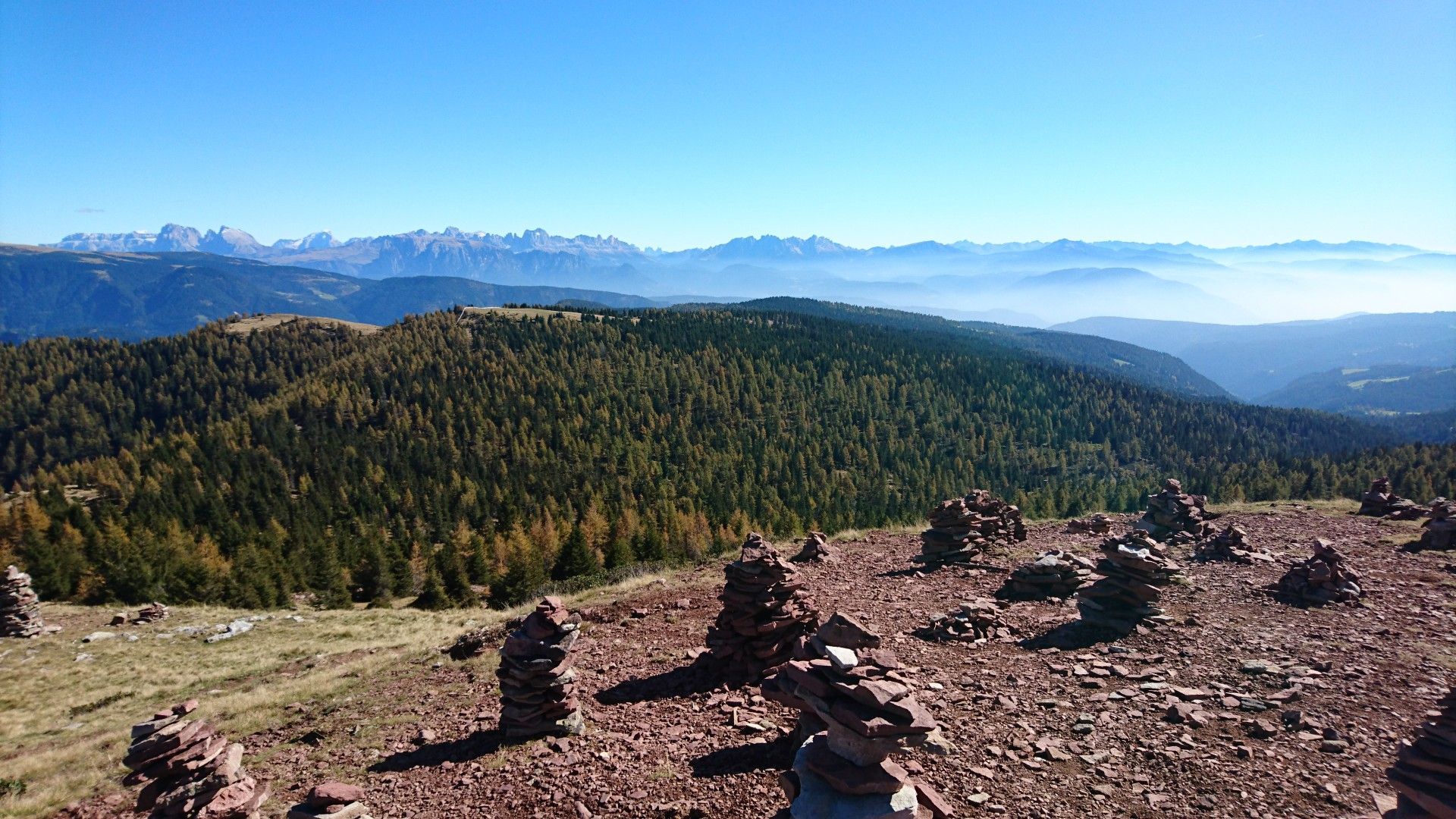
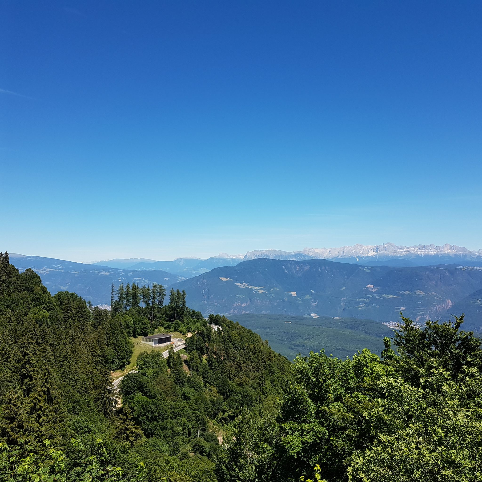
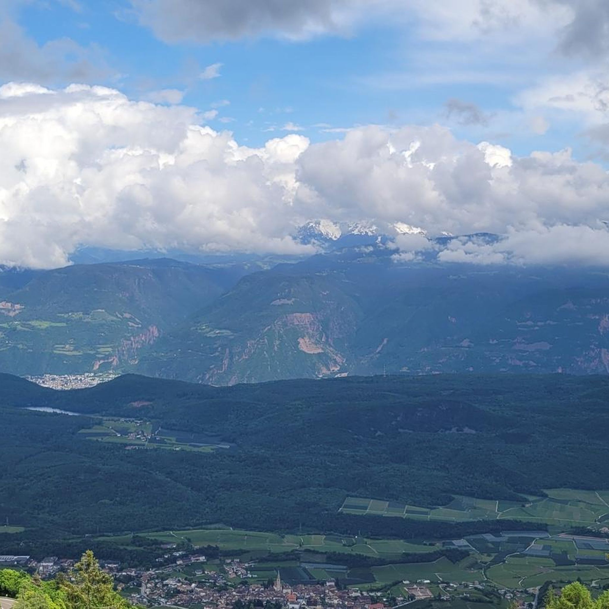
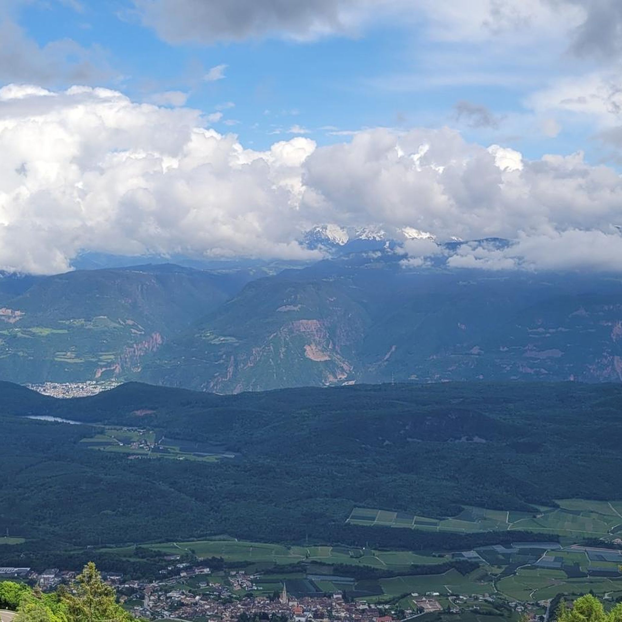
Mountaineering routes around Ruffrè-Mendola are situated in the Val di Non at approximately 1300 meters above sea level, offering diverse landscapes for alpine exploration. The region features significant mountain passes like Passo Mendola, providing access to panoramic views from peaks such as Monte Penegal. Thick pine woods characterize the lower elevations, while the proximity to the Brenta Dolomites offers a dramatic backdrop and opportunities for more challenging mountaineering experiences.
Best mountaineering routes around Ruffrè-Mendola
- The most popular mountaineering route is…
Last updated: November 18, 2026
4.6
(10)
64
hikers
18.8km
07:59
860m
860m
Hard mountaineering route. Very good fitness required. Sure-footedness, sturdy shoes and alpine experience required.
5.0
(3)
19
hikers
16.0km
07:16
1,140m
1,150m
Hard mountaineering route. Very good fitness required. Sure-footedness, sturdy shoes and alpine experience required.

4.8
(4)
12
hikers
5.91km
01:49
200m
200m
Moderate mountaineering route. Mostly walkable paths. Sure-footedness required.
4.5
(2)
13
hikers
5.25km
03:01
370m
370m
Hard mountaineering route. Good fitness required. Sure-footedness, sturdy shoes and alpine experience required.
5.0
(2)
12
hikers
8.75km
04:48
440m
440m
Hard mountaineering route. Good fitness required. Sure-footedness, sturdy shoes and alpine experience required.
Get access to more routes and recommendations from other explorers.
Already have an account?
Our route recommendations are based on thousands of hikes, rides, and runs completed by other people on komoot.
Start today with a free account
Your next adventure awaits.
Other adventures around Ruffrè-Mendola

Tips from the Community

Here you can enjoy an incredibly beautiful view of Lake Kalterer See. A panoramic view that you can enjoy from one of the numerous benches.
0
0

Trail with uneven ground, in places with a steep incline, to be ridden on an e-mtb with great care
0
0
The section of the Sentiero Italia in the area
0
0
The starting station for the pass
0
0
Starting station Sant'Antonio
0
0
The most rugged part of the ascent to Mount Roen
0
0
Amusement park for little ones
0
0

A beautiful viewpoint with a great view that invites you to linger.
1
0
Frequently Asked Questions
How many mountaineering routes are available in Ruffrè-Mendola?
There are over 25 mountaineering routes around Ruffrè-Mendola, offering a range of experiences from moderate paths to more challenging excursions. The komoot community has explored these routes over 500 times.
Are there any moderate mountaineering routes suitable for those with less experience?
Yes, Ruffrè-Mendola offers several moderate mountaineering routes. An example is the Mendel Pass – Mendel Pass loop from Mendelpass - Passo della Mendola, which is 7.6 km long with 356 meters of elevation gain, typically taking around 2 hours 50 minutes to complete.
What kind of panoramic views can I expect on mountaineering routes in Ruffrè-Mendola?
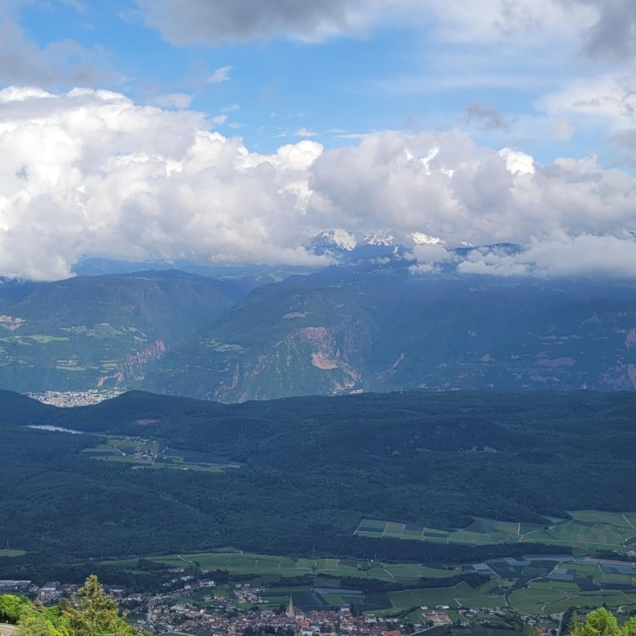
Many routes offer spectacular panoramic views. From peaks like Monte Penegal, you can see across the Bolzano basin, the Adige Valley, the Dolomites, Merano, the Val di Non, and even the Ortles group. The region is known for its vast alpine vistas.
Are there any routes that include a via ferrata?
Yes, some of the more challenging routes incorporate via ferrata sections. For instance, the Via Ferrata Monte Roen – Monte Roen Summit loop from Passo della Mendola - Mendelpass is a difficult 14.7 km trail that includes a via ferrata leading to the Monte Roen summit.
Can I find circular mountaineering routes in Ruffrè-Mendola?
Yes, there are several circular routes available. The Lavinaspitze Above Caldaro – Via Ferrata Monte Roen loop from Passo della Mendola - Mendelpass is a difficult 19.1 km circular path combining views of Lavinaspitze with sections of the Via Ferrata Monte Roen.
What natural attractions can I see near the mountaineering routes?
The region boasts impressive natural features. You can visit the Rastenbach Gorge Waterfall, considered one of the most dramatic gorges in South Tyrol. The Emerald Lake and Waterfall is another beautiful spot. The Laghetti di Ruffrè also offer pleasant walks amidst nature.
What do other mountaineers say about the routes in Ruffrè-Mendola?
The mountaineering routes in Ruffrè-Mendola are highly rated by the komoot community, with an average score of 4.6 stars from over 60 reviews. Users often praise the diverse terrain, panoramic views, and the challenging yet rewarding experiences, especially on routes that include via ferratas.
Are there any long-distance mountaineering routes for experienced hikers?
For experienced mountaineers seeking a longer challenge, the Lavinaspitze Above Caldaro – Via Ferrata Monte Roen loop from St.Anton - Sant'Antonio frazione di Caldaro is a demanding 27.6 km trail with over 1700 meters of elevation gain, typically taking around 11 hours 32 minutes to complete.
What are the typical terrain characteristics of mountaineering in Ruffrè-Mendola?
Mountaineering in Ruffrè-Mendola features diverse terrain. You'll encounter thick pine woods at lower elevations, significant mountain passes like Passo Mendola, and alpine landscapes leading to panoramic viewpoints. The Brenta Dolomites provide a dramatic backdrop, indicating varied and sometimes challenging rocky sections.
Is public transport available to reach trailheads in Ruffrè-Mendola?
The Passo Mendola is a key access point for many routes and is connected to the Val di Non and Val d'Adige. The Mendola cable car, accessible from Caldaro, also provides easy access to higher altitudes, which can serve as starting points for various trails.
Are there any routes that offer views of Lake Caldaro?
Yes, some routes in the region provide stunning views over Lake Caldaro, particularly from vineyards and higher vantage points. These vistas add another layer of scenic beauty to the mountaineering experience.
Most popular routes around Ruffrè-Mendola
Most popular attractions around Ruffrè-Mendola

Get inspired with the komoot mobile app


Explore more
Browse the best Mountain Hikes & Routes in other regions.
