The best walks and hikes around Amblar-Don
4.4
(4577)
22,048
hikers
14
hikes
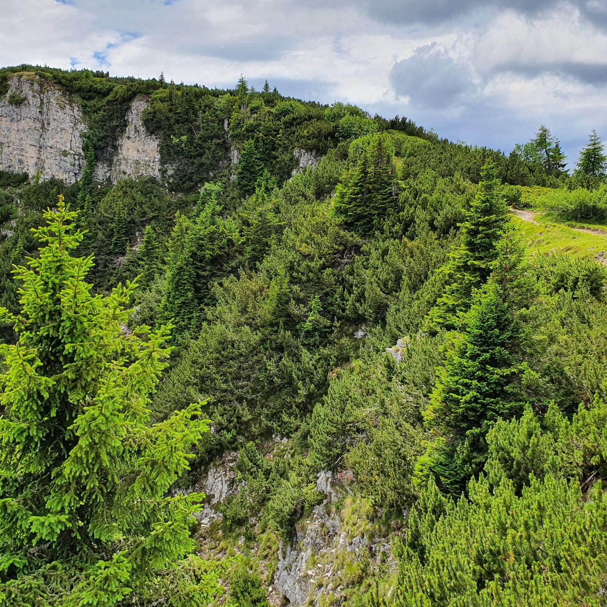
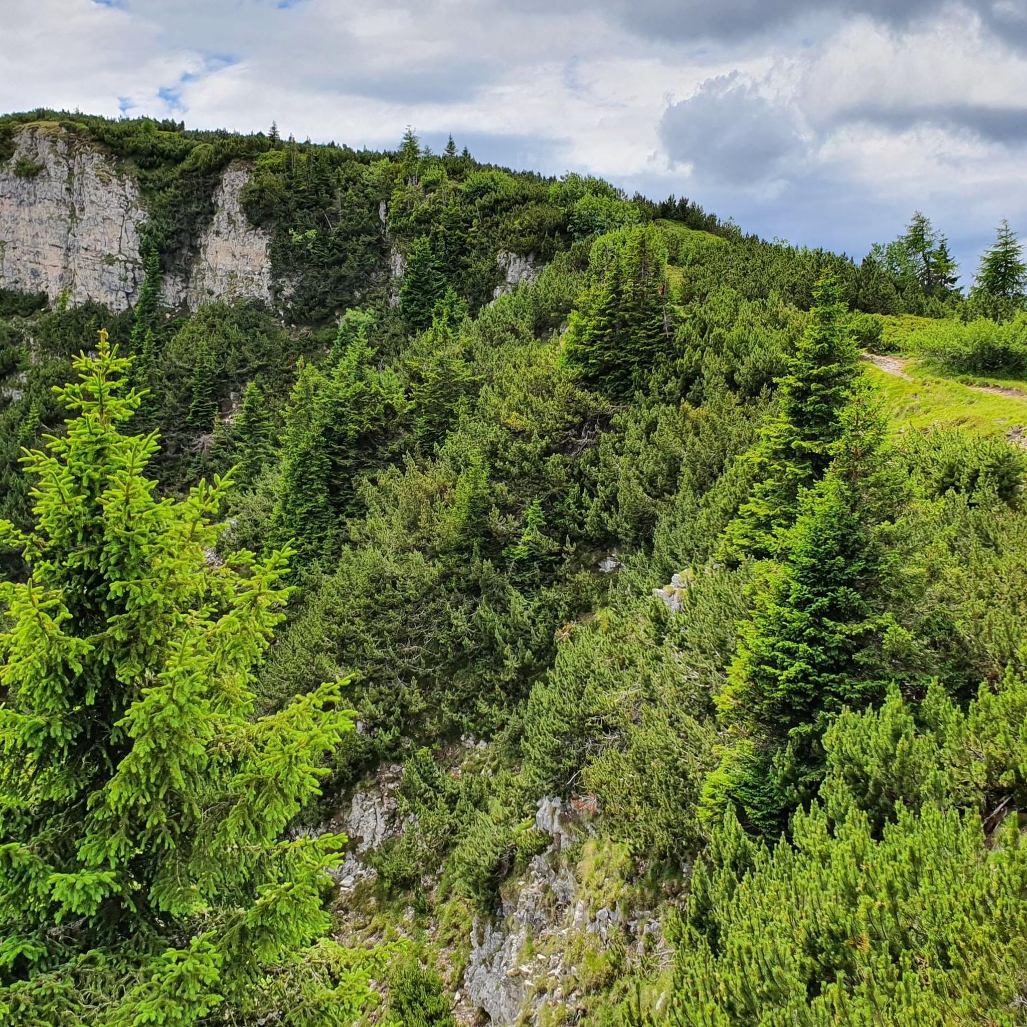
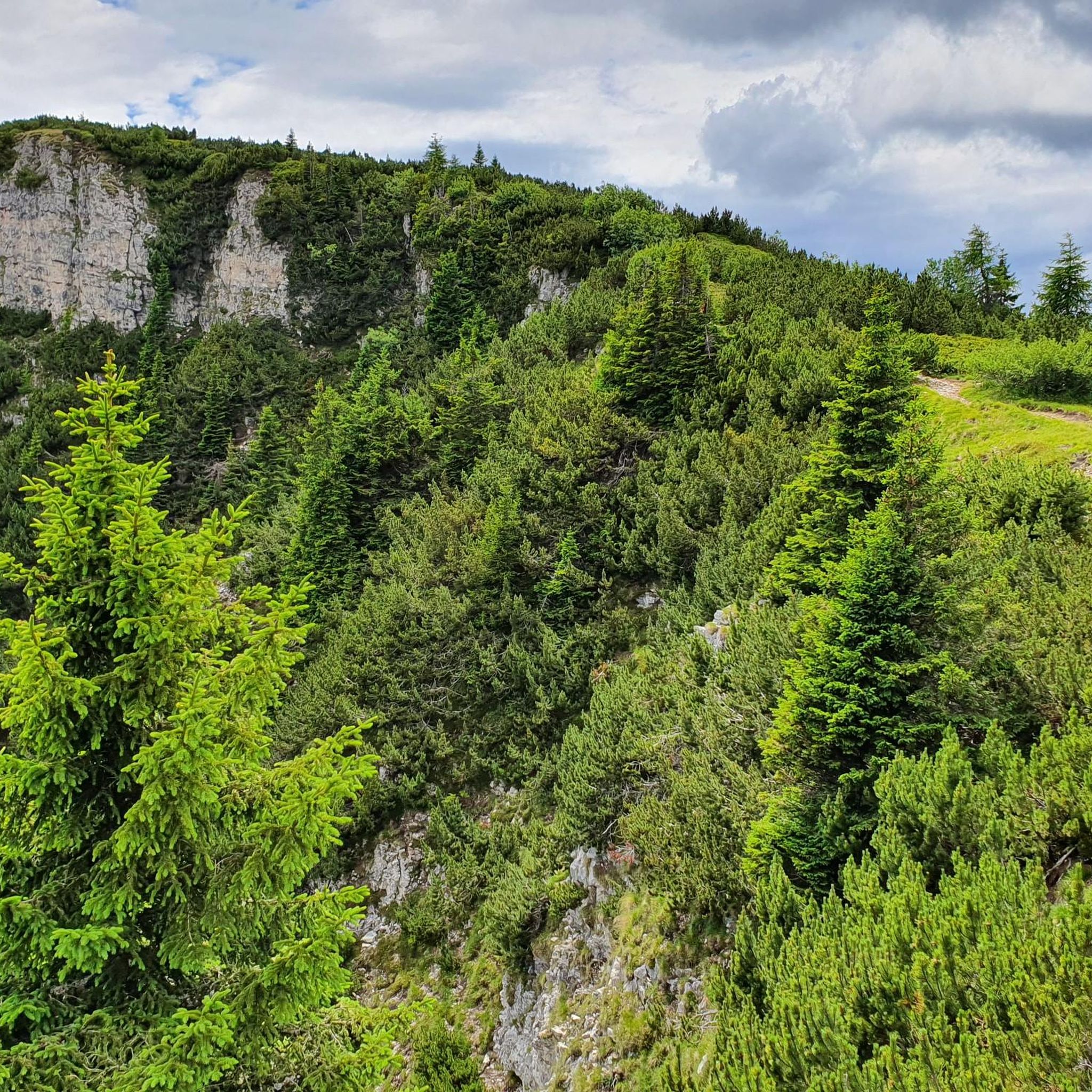
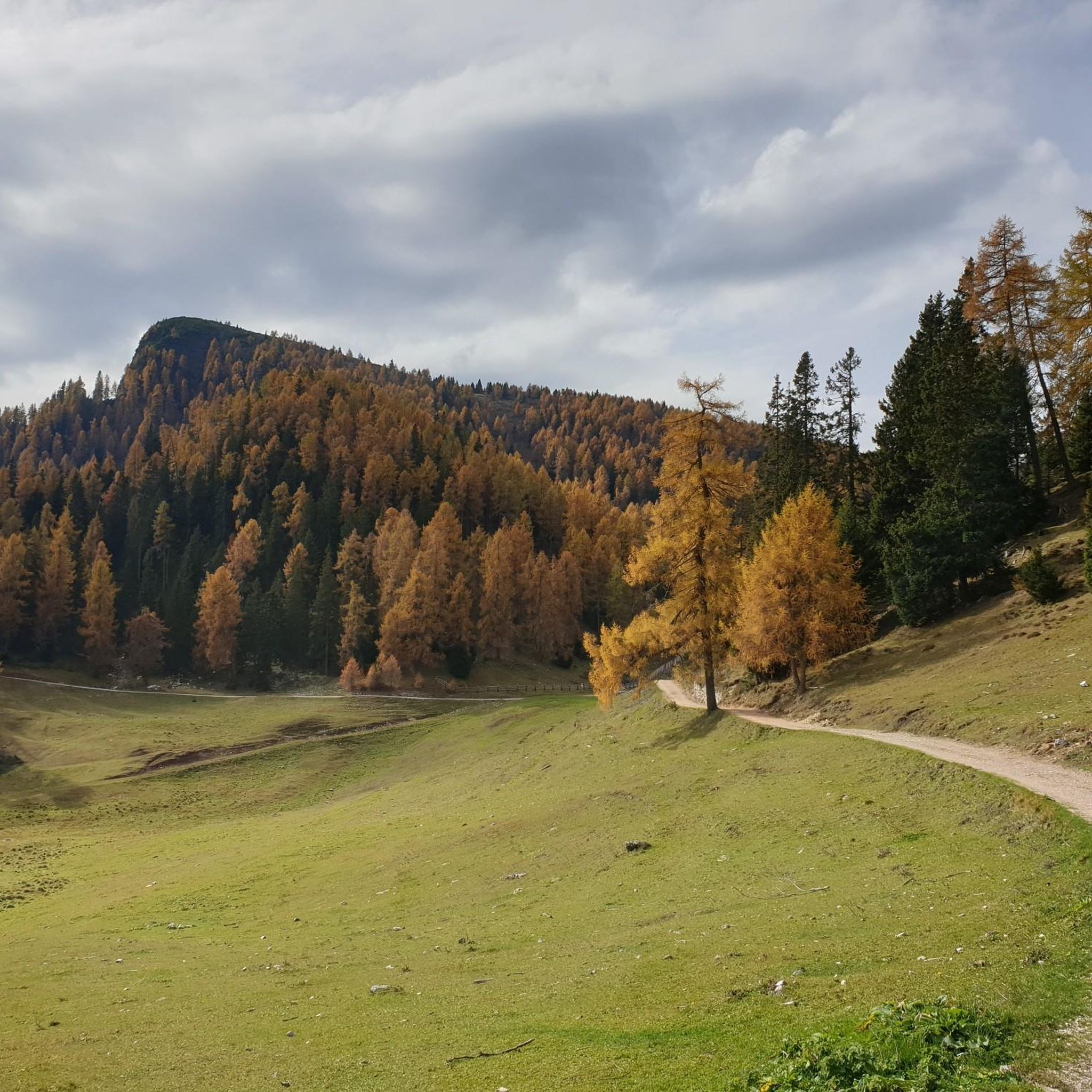
Hiking around Amblar-Don offers diverse terrain in the Val di Non, situated on the western slopes of Monte Roen, the highest peak of the Mendola Chain. The region features a morainic high plateau, with routes traversing magnificent beech mixed forests, coniferous forests, and wide alpine pastures. Hikers can experience varied landscapes, from the upper Non Valley with views of the Maddalene group and Brenta Dolomites, to the summit of Monte Roen.
Best hiking trails around Amblar-Don
- The most popular hiking…
Last updated: September 26, 2026
4.8
(10)
67
hikers
5.75km
01:48
230m
220m
Easy hike. Great for any fitness level. Easily-accessible paths. Suitable for all skill levels.
5.0
(1)
8
hikers
12.4km
04:20
740m
740m
Moderate hike. Good fitness required. Easily-accessible paths. Suitable for all skill levels.

4.8
(17)
58
hikers
7.39km
02:57
420m
420m
Moderate hike. Good fitness required. Mostly accessible paths. Sure-footedness required.
4.9
(15)
63
hikers
15.1km
05:22
790m
790m
Hard hike. Very good fitness required. Mostly accessible paths. Sure-footedness required.
4.8
(4)
39
hikers
9.66km
03:51
570m
570m
Moderate hike. Good fitness required. Mostly accessible paths. Sure-footedness required.
Get access to more routes and recommendations from other explorers.
Already have an account?
Our route recommendations are based on thousands of hikes, rides, and runs completed by other people on komoot.
Start today with a free account
Your next adventure awaits.

Tips from the Community

The section of the Sentiero Italia in the area
0
0
The most rugged part of the ascent to Mount Roen
0
0
Wherever you turn, the panoramic view is guaranteed
0
0
The incredible terrace at the summit of Mount Roen
0
0
The section of the trail to get to Monte Roen with a rough surface
0
0
Beautiful explanatory table of the main peaks and mountain groups
0
0

small church built by the Alpini
0
0

Here the hiker is fenced in and not the cattle😄.
4
0
Frequently Asked Questions
What types of hiking trails can I find in Amblar-Don?
Amblar-Don offers a diverse range of hiking trails, from easy strolls to more challenging ascents. You'll find routes traversing magnificent beech mixed forests, coniferous forests, and wide alpine pastures. The area is situated on the western slopes of Monte Roen, providing varied landscapes and impressive views of the Maddalene group and Brenta Dolomites.
Are there any easy or family-friendly hiking options in Amblar-Don?
Yes, Amblar-Don has several easy trails suitable for families. For instance, the Sentiero delle Cime (Trail 500) is an easy 3.6-mile alpine trail that takes about 1 hour 47 minutes to complete. Additionally, the Conca Verde Park in Amblar village offers a pleasant spot for relaxed strolls.
Can I find circular hiking routes in Amblar-Don?
Yes, there are several excellent circular routes. A popular option is the Tour of the Roen Pastures, a moderate 7.7-mile circuit exploring alpine huts and pastures around Monte Roen. Another is the Romeno Hut – Monte Roen summit cross loop from Roen, which is 4.7 miles and leads through forests and alpine meadows.
What are the best trails for reaching the summit of Monte Roen?
For those seeking to reach the summit of Monte Roen, a challenging option is the Monte Roen summit cross – Monte Roen Summit loop from Amblar-Don, a difficult 9.4-mile route. A moderate alternative is the Monte Roen Summit – Monte Roen summit cross loop from Amblar-Don, covering 4.9 miles. Both offer magnificent views from the highest peak of the Mendola Chain.
Are there any mountain huts or places to rest along the trails?
Yes, the region features a system of 'malghe' (alpine huts) that provide places to rest and sometimes offer accommodation. Notable huts include Romeno Hut, Rifugio Mezzavia (Halfway Hut), and Überetscher Hut / Oltradige Hut. These are often integrated into hiking routes, such as the Tour of the Roen Pastures.
What kind of views can I expect on hikes in Amblar-Don?
Hikers in Amblar-Don can expect spectacular panoramas. From Monte Roen, you'll enjoy magnificent views of the surrounding mountains, including the Adige Valley, Lake Caldaro, the Schlern, and Rosengarten mountains. The Val di Non also offers impressive vistas of the Maddalene group and the Brenta Dolomites.
What do other hikers say about the trails in Amblar-Don?
The routes in Amblar-Don are highly rated by the komoot community, with an average score of 4.4 stars from over 4000 reviews. Hikers often praise the varied terrain, the stunning natural landscapes, and the well-maintained trails that cater to different fitness levels.
Are there any lakes or water features near the hiking trails?
While Amblar-Don is in a region known for its numerous lakes, specific water features directly on the trails are less common. However, the broader Trentino area, including nearby attractions like Kalterer Lake biotope and Montiggler Lakes (Laghetti di Monticolo), offers beautiful lake views and opportunities for exploration.
What kind of flora and fauna can I see while hiking in Amblar-Don?
The region boasts a rich variety of vegetation, including beech, fir, spruce, and pine forests, as well as wide alpine pastures. Along the trails, you can admire an impressive display of flowers such as laburnum, snowberry, fire lily, and mezereon. The diverse habitats also support various wildlife, though specific sightings depend on luck and time of day.
Are there any historical or cultural sites to explore near the hiking routes?
While primarily focused on nature, the area does have historical elements. For instance, you might encounter the ancient 'Porta di Vallavena,' a historical barrier. For broader cultural context, Amblar-Don is nestled in the Val di Non, known for its apples and the dedicated 'Apples and Flavours Route'.
How many hiking routes are available in Amblar-Don?
There are over a dozen hiking routes available in Amblar-Don, catering to various skill levels. This includes 2 easy routes, 9 moderate routes, and 2 difficult routes, ensuring options for every hiker.
What is the best time of year to go hiking in Amblar-Don?
The best time to hike in Amblar-Don is generally from late spring to early autumn (May to October), when the weather is mild, and the trails are clear of snow. During these months, the alpine pastures are vibrant, and the forests offer pleasant shade. Always check local weather conditions before heading out.
Most popular routes around Amblar-Don
Most popular attractions around Amblar-Don

Get inspired with the komoot mobile app


Explore more
Browse the best Hikes in other regions.
