The best mountain hikes around Mezzocorona
4.9
(77)
428
hikers
11
hikes
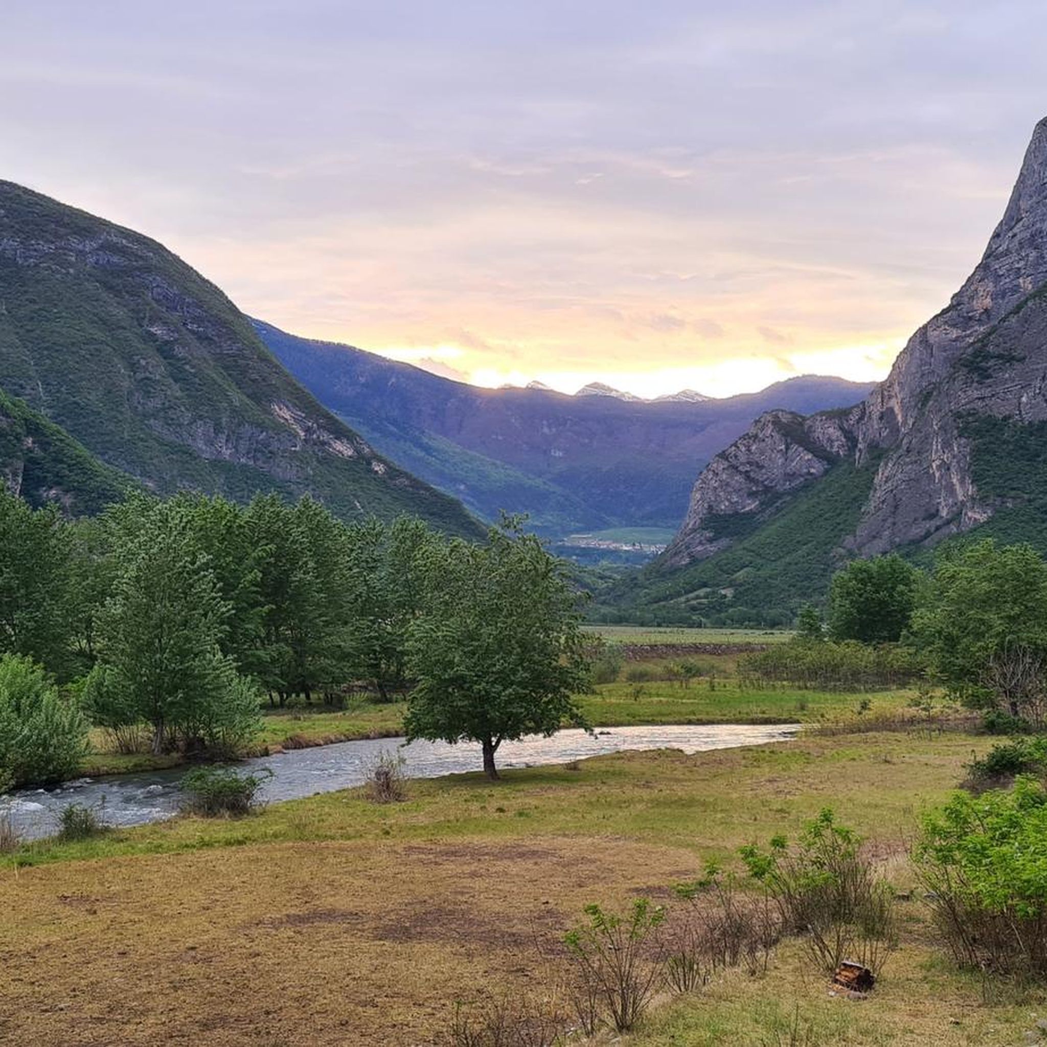
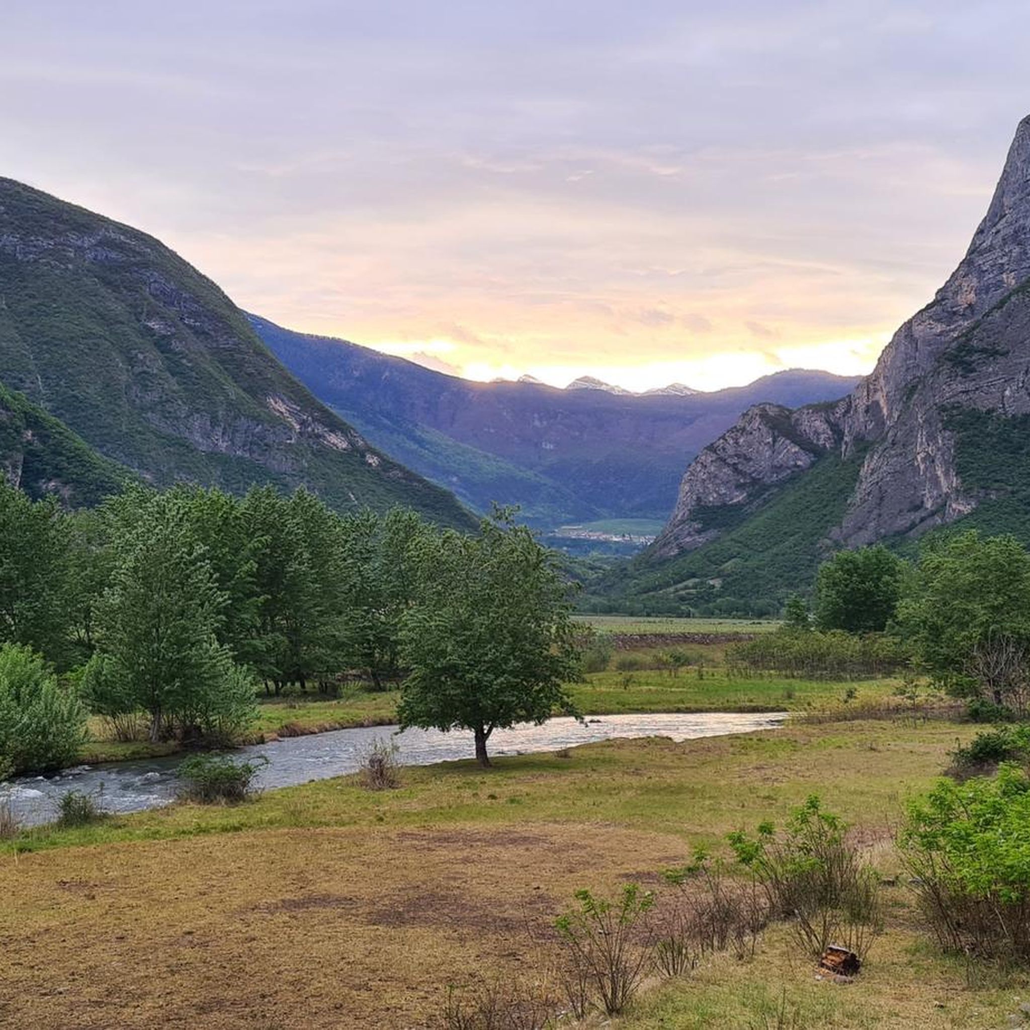
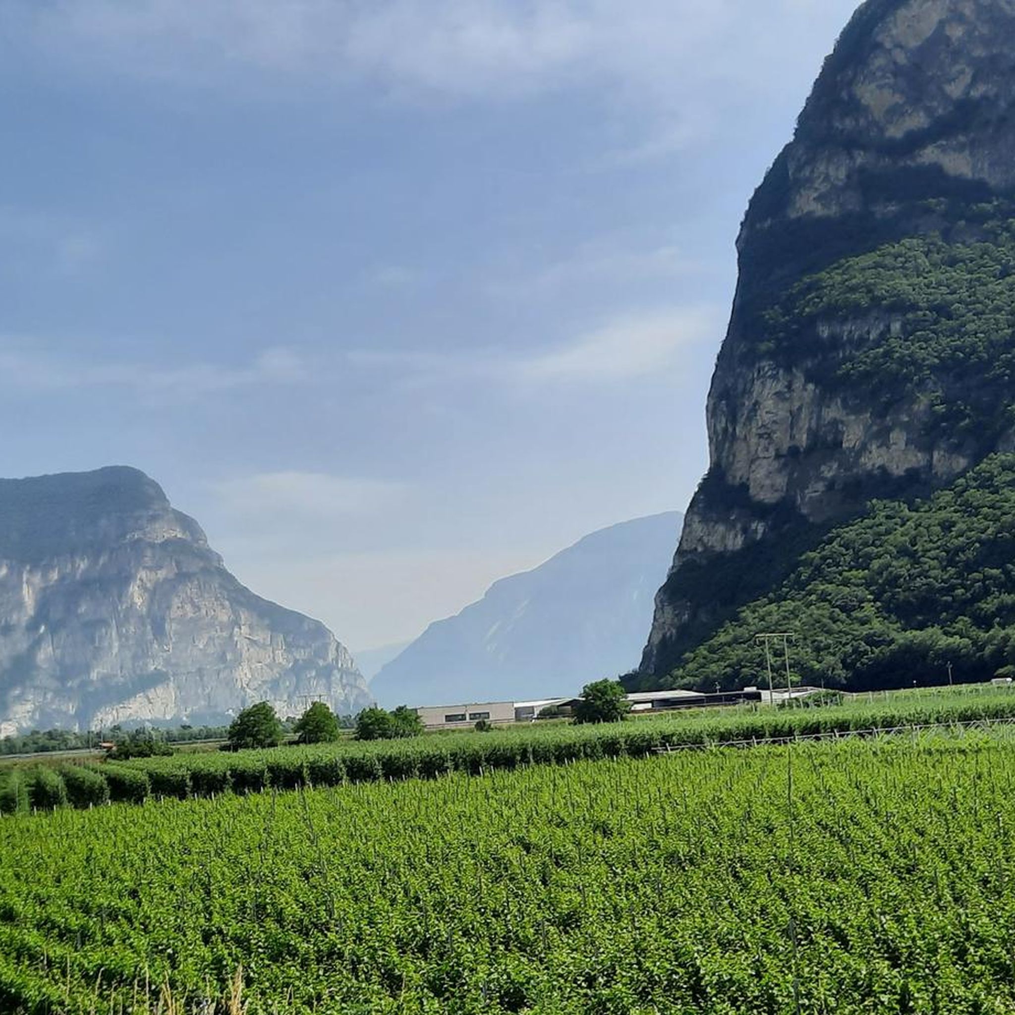
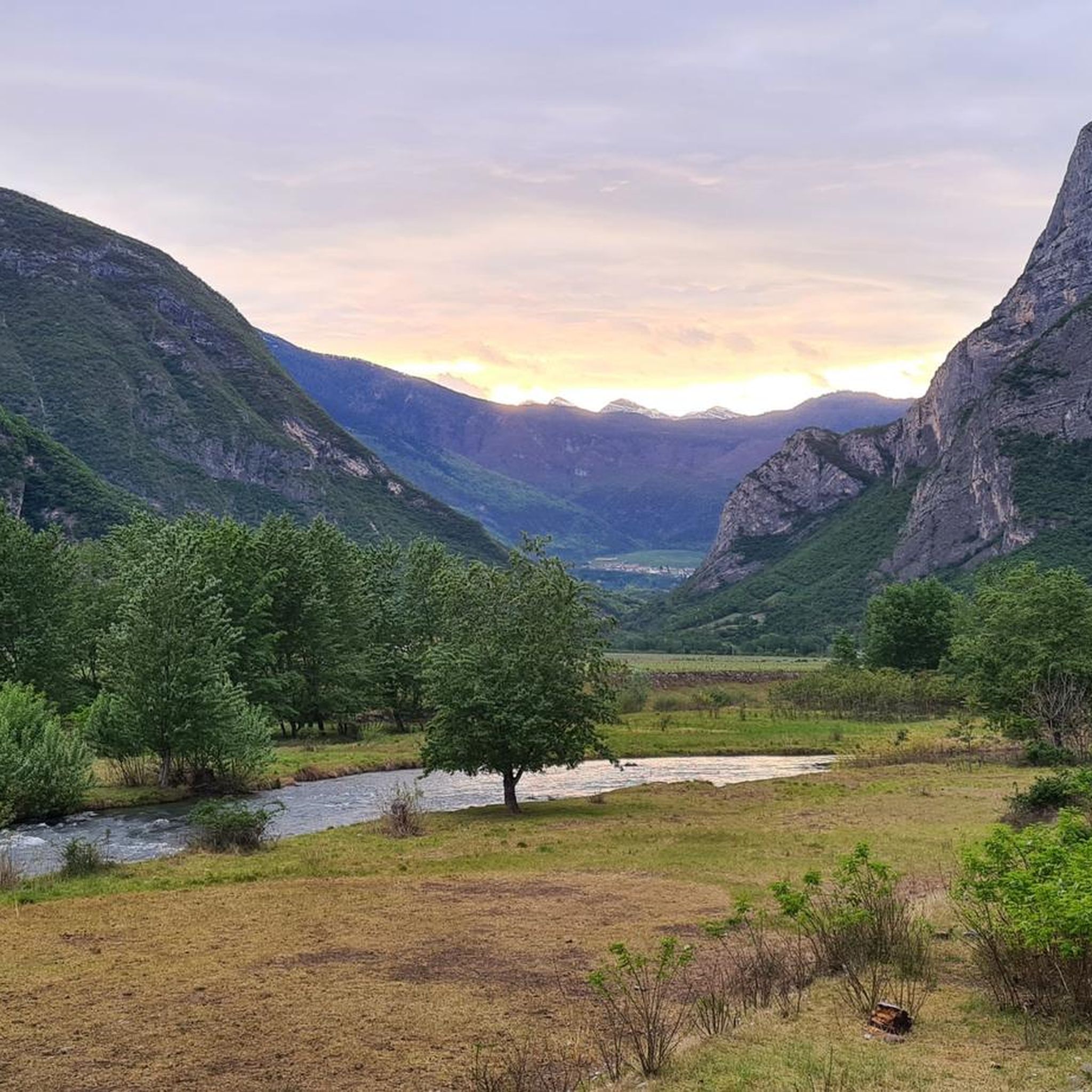
Mountaineering routes around Mezzocorona are situated in the Trentino region, characterized by its alpine landscape. The area features significant elevation changes, with routes often ascending through forested slopes and rocky terrain. Many trails incorporate via ferratas, providing access to more exposed sections and viewpoints. The region's geology includes limestone formations, contributing to the varied and challenging nature of the mountaineering experiences available.
Best mountaineering routes around Mezzocorona
- The most popular mountaineering route is Giovanelli Gorge Via Ferrata – Tret Waterfall…
Last updated: October 22, 2026
4.6
(29)
160
hikers
Hard mountaineering route. Very good fitness required. Sure-footedness, sturdy shoes and alpine experience required.
4.9
(18)
97
hikers
5.98km
03:25
620m
620m
Hard mountaineering route. Good fitness required. Sure-footedness, sturdy shoes and alpine experience required.

5.0
(3)
19
hikers
13.7km
06:27
1,240m
1,240m
Hard mountaineering route. Very good fitness required. Mostly walkable paths. Sure-footedness required.
5.0
(11)
19
hikers
2.72km
02:11
330m
330m
Hard mountaineering route. Good fitness required. Sure-footedness, sturdy shoes and alpine experience required.
10
hikers
9.90km
04:11
600m
600m
Hard mountaineering route. Good fitness required. Sure-footedness, sturdy shoes and alpine experience required.
Get access to more routes and recommendations from other explorers.
Already have an account?
Our route recommendations are based on thousands of hikes, rides, and runs completed by other people on komoot.
Start today with a free account
Your next adventure awaits.
Tips from the Community

The cable car is closed for complete reconstruction until next year.
0
0

Very rewarding via ferrata - can also be combined well with the Burrone and the Rio Secco https://www.via-ferrata.de/klettersteige/topo/via-ferrata-val-del-ri-mezzolombardo
0
0

A waterfall in the middle of the via ferrata is something special.
7
0
The cable car is already a great relief. A single ride costs €6.
7
0
Rather easy via ferrata through an impressive karst gorge with many altitude meters.
7
0

Nice place and accessible to everyone
0
0

Impressive suspension bridge that is also a lot of fun for children.
1
0

Route for experienced and well-trained hikers, with significant slopes.
0
0
Frequently Asked Questions
What is the general difficulty level of mountaineering routes around Mezzocorona?
The mountaineering routes in Mezzocorona are predominantly challenging. Out of 11 routes, 8 are classified as difficult, and 3 as moderate. This region is known for its significant elevation changes and technical sections, often incorporating via ferratas.
Are there any mountaineering routes suitable for beginners or those seeking a less strenuous experience?
While most routes are difficult, there are a few moderate options available. For instance, the area offers routes that, while still requiring good fitness, are less technically demanding than the difficult via ferratas. It's important to check individual route descriptions for specific details.
What is the typical duration for mountaineering routes in this area?
The duration of mountaineering routes around Mezzocorona varies. Shorter, difficult routes like the Tibetan bridge – Val del Rì via ferrata loop from Mezzolombardo can take around 2 hours 10 minutes, while longer, more challenging ones such as the Salto del Camoscio Viewpoint – Ferrata delle Aquile Summit loop from Fai della Paganella can extend to over 6 hours 30 minutes.
Are there any circular mountaineering routes available?
Yes, many mountaineering routes in the Mezzocorona area are designed as circular loops. Examples include the Giovanelli Gorge Via Ferrata – Tret Waterfall loop from Mezzocorona Borgata and the Chiesetta di Cadino loop from Cadino, allowing you to start and finish at the same point.
What kind of natural features or attractions can I expect to see along the mountaineering routes?
The routes often feature stunning alpine scenery, including forested slopes and rocky terrain. You might encounter notable natural monuments like the Segonzano Pyramids or enjoy views of lakes such as Lamar Lake and Lake Santa Colomba. Many routes also incorporate impressive via ferratas and waterfalls.
Are there any routes that feature a Tibetan bridge?
Yes, the Tibetan bridge – Val del Rì via ferrata loop from Mezzolombardo is a notable route that includes a Tibetan bridge, offering a unique and thrilling experience.
What is the best time of year for mountaineering in Mezzocorona?
The Trentino region, where Mezzocorona is located, is generally best for mountaineering from late spring through early autumn (May to October) when the weather is more stable and trails are clear of snow. However, conditions can vary, so always check local forecasts and trail status before heading out.
What do other mountaineers say about the routes in Mezzocorona?
The mountaineering routes around Mezzocorona are highly regarded by the komoot community, with an average rating of 4.8 stars from over 60 reviews. Users frequently praise the challenging via ferratas, the diverse alpine landscape, and the panoramic views from summits.
Are there any cafes or places to rest near the mountaineering trails?
While specific cafes directly on every trail are not guaranteed, the broader Mezzocorona area and nearby towns offer options. For example, the Bike Break Bicigrill Faedo is a highlight in the region that could serve as a refreshment stop, particularly if your route passes nearby or you're exploring the wider area.
Can I reach the mountaineering trails using public transport?
Mezzocorona is connected by public transport, including train and bus services within the Trentino region. While some trailheads might be accessible directly, others may require a short walk or a local taxi from the nearest public transport stop. It's advisable to research specific route starting points and local transport schedules in advance.
Where can I find parking for the mountaineering trails?
Parking availability varies by trailhead. Many popular starting points in and around Mezzocorona, such as those near Mezzolombardo or Fai della Paganella, typically have designated parking areas. It's recommended to check the specific route details or local maps for parking information before your trip, especially during peak season.
Most popular routes around Mezzocorona
Most popular attractions around Mezzocorona

Get inspired with the komoot mobile app


Explore more
Browse the best Mountain Hikes & Routes in other regions.
