The best mountain hikes around Andalo
4.8
(166)
1,054
hikers
39
hikes
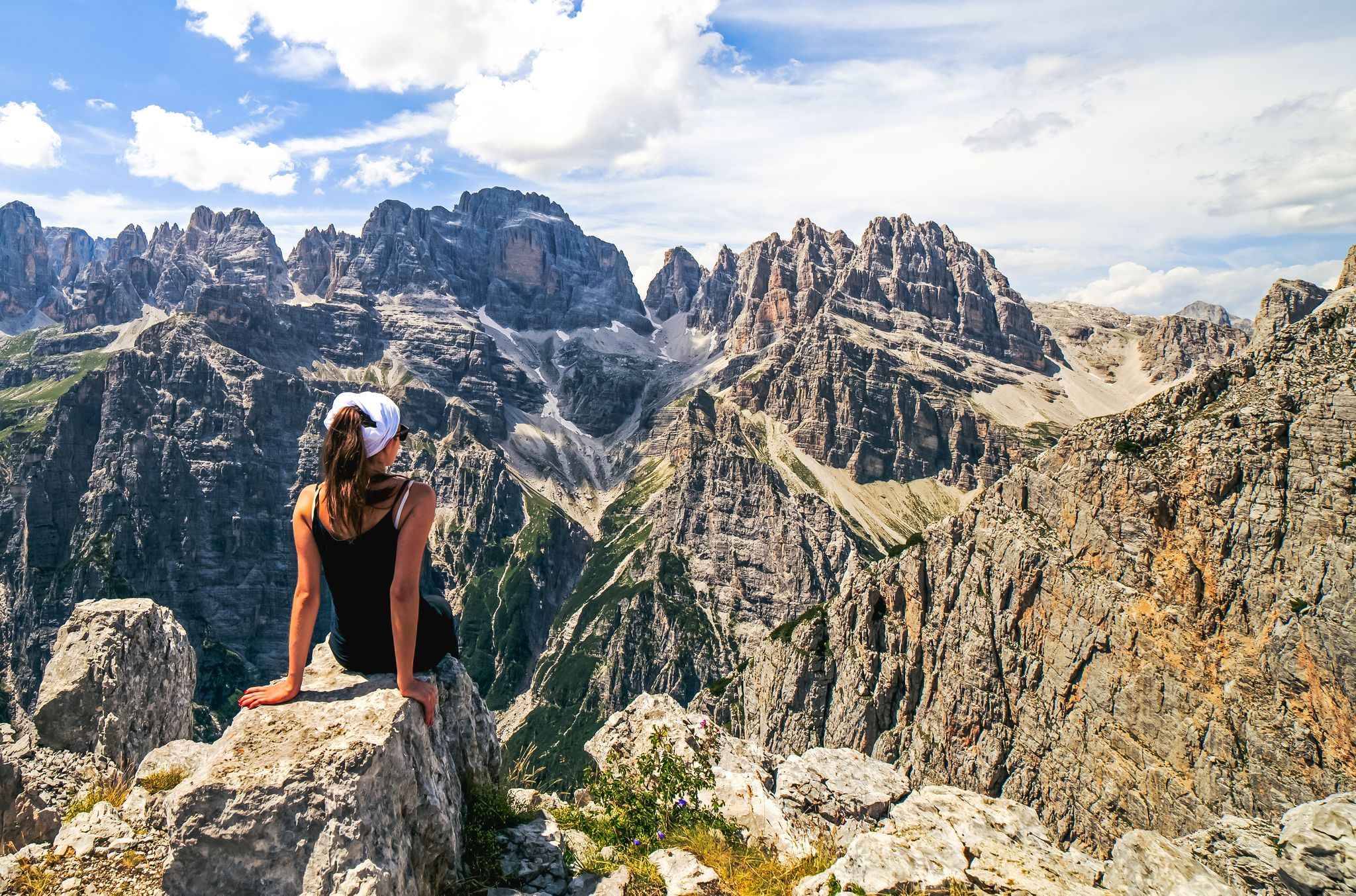
Mountaineering routes around Andalo are situated in the Brenta Dolomites, a UNESCO World Heritage site known for its dramatic limestone peaks and deep valleys. The region features a mix of challenging alpine trails, dense coniferous forests, and high-altitude plateaus. Elevation changes are significant, with routes often leading to mountain refuges and offering expansive views of the surrounding Trentino landscape. The terrain primarily consists of rocky paths, scree slopes, and exposed sections.
Best mountaineering routes around Andalo
- The most popular mountaineering…
Last updated: August 2, 2026
5.0
(3)
37
hikers
13.4km
07:14
1,120m
1,120m
Hard mountaineering route. Very good fitness required. Sure-footedness, sturdy shoes and alpine experience required.
5.0
(4)
24
hikers
15.0km
06:22
920m
930m
Hard mountaineering route. Very good fitness required. Sure-footedness, sturdy shoes and alpine experience required.

Sign up for free
2.7
(3)
21
hikers
13.6km
04:52
700m
700m
Moderate mountaineering route. Good fitness required. Mostly accessible paths. Sure-footedness required.
4.7
(3)
13
hikers
8.29km
03:48
580m
580m
Hard mountaineering route. Good fitness required. Sure-footedness, sturdy shoes and alpine experience required.
5.0
(2)
11
hikers
15.1km
07:24
1,330m
1,330m
Hard mountaineering route. Very good fitness required. Sure-footedness, sturdy shoes and alpine experience required.
Get access to more routes and recommendations from other explorers.
Sign up for free
Already have an account?
Our route recommendations are based on thousands of hikes, rides, and runs completed by other people on komoot.
Start today with a free account
Your next adventure awaits.
Login or Signup
Popular around Andalo
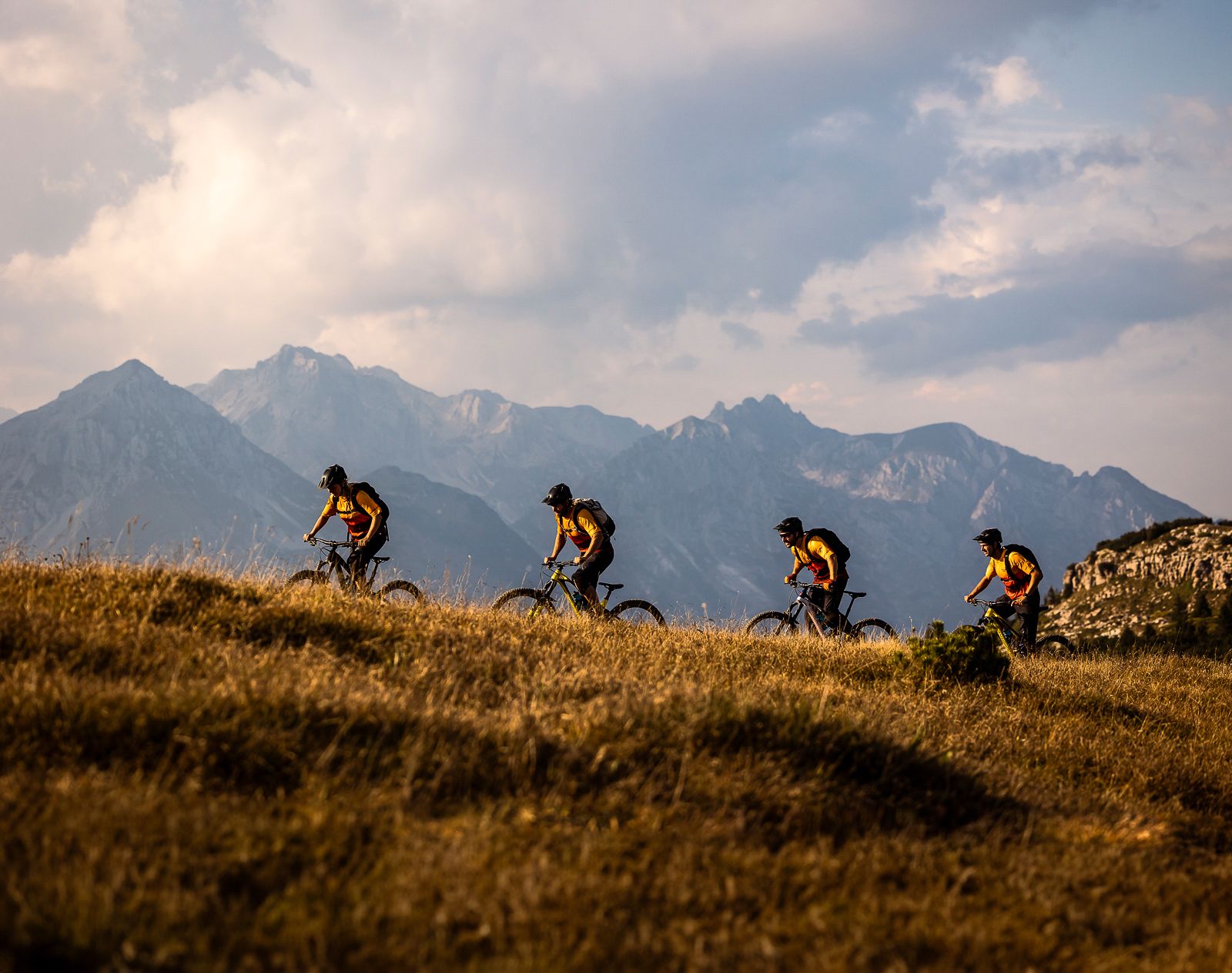
Trails and vineyards in the Dolomiti Paganella Bike Area
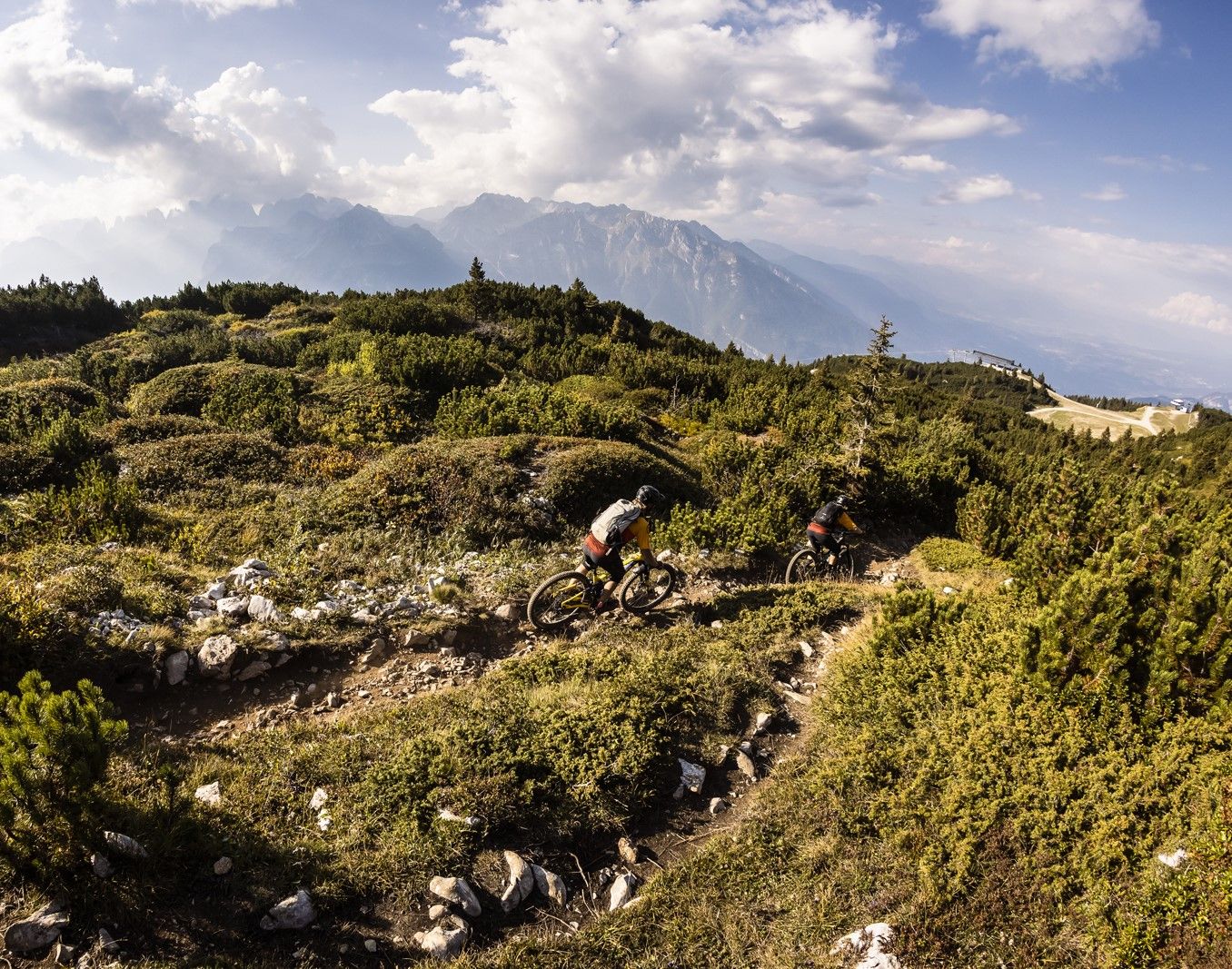
Shred & flow – enduro trails & Tours in Italy’s Dolomiti Paganella
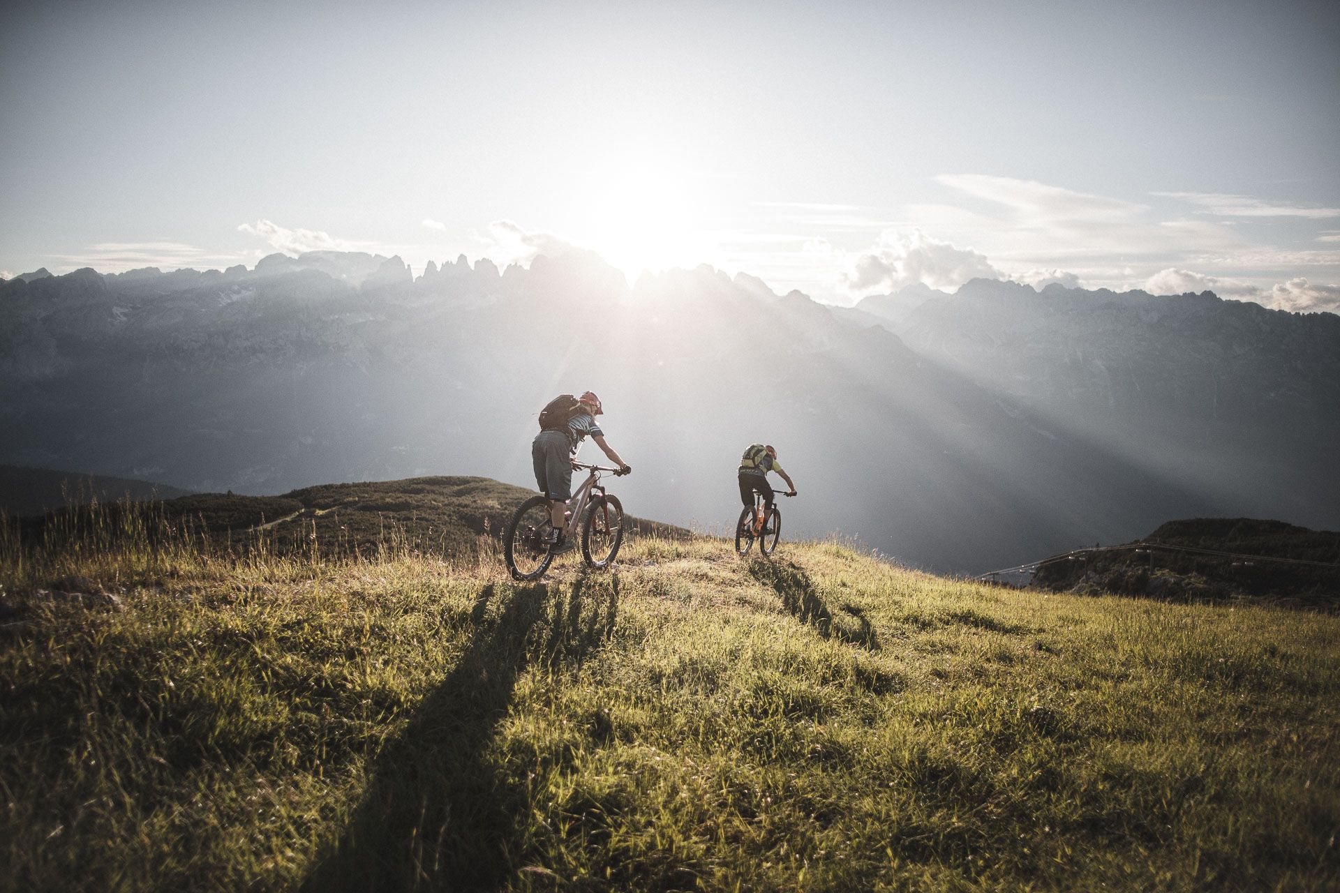
Mountain biking around Paganella in the Dolomites – a biker’s paradise
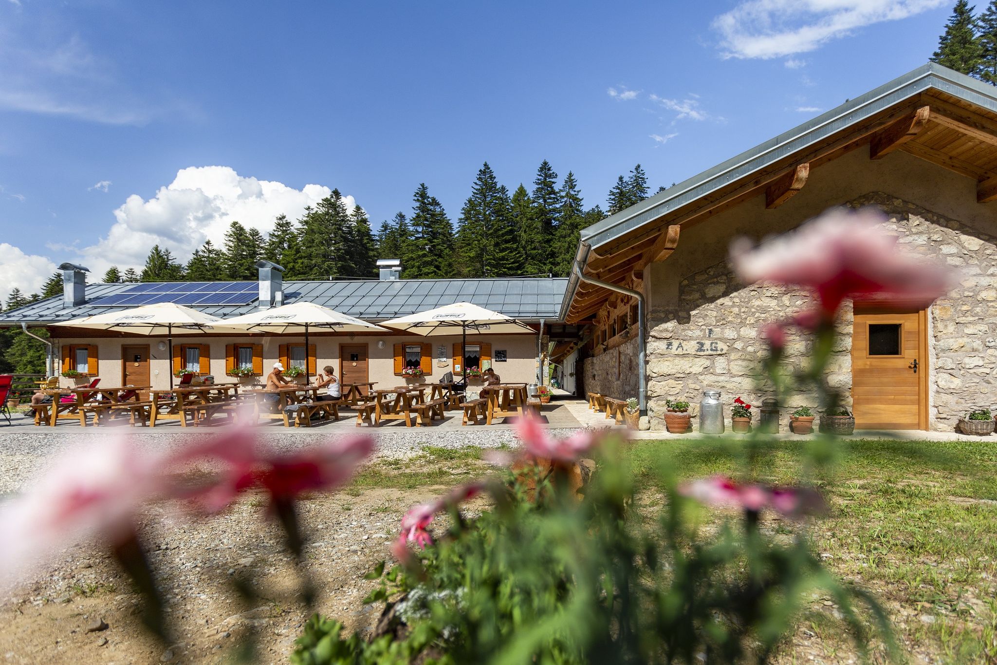
The highest pleasure – hiking & eating in Italy’s Dolomiti Paganella
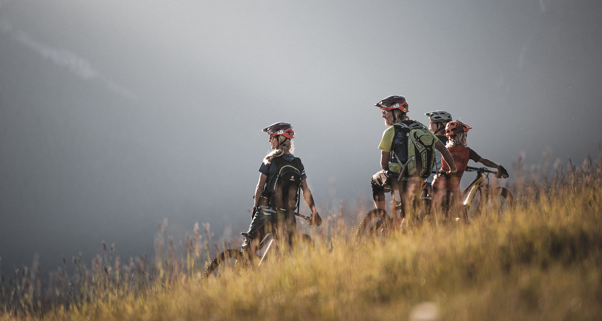
MTB fun for all ages in the Dolomiti Paganella in Italy
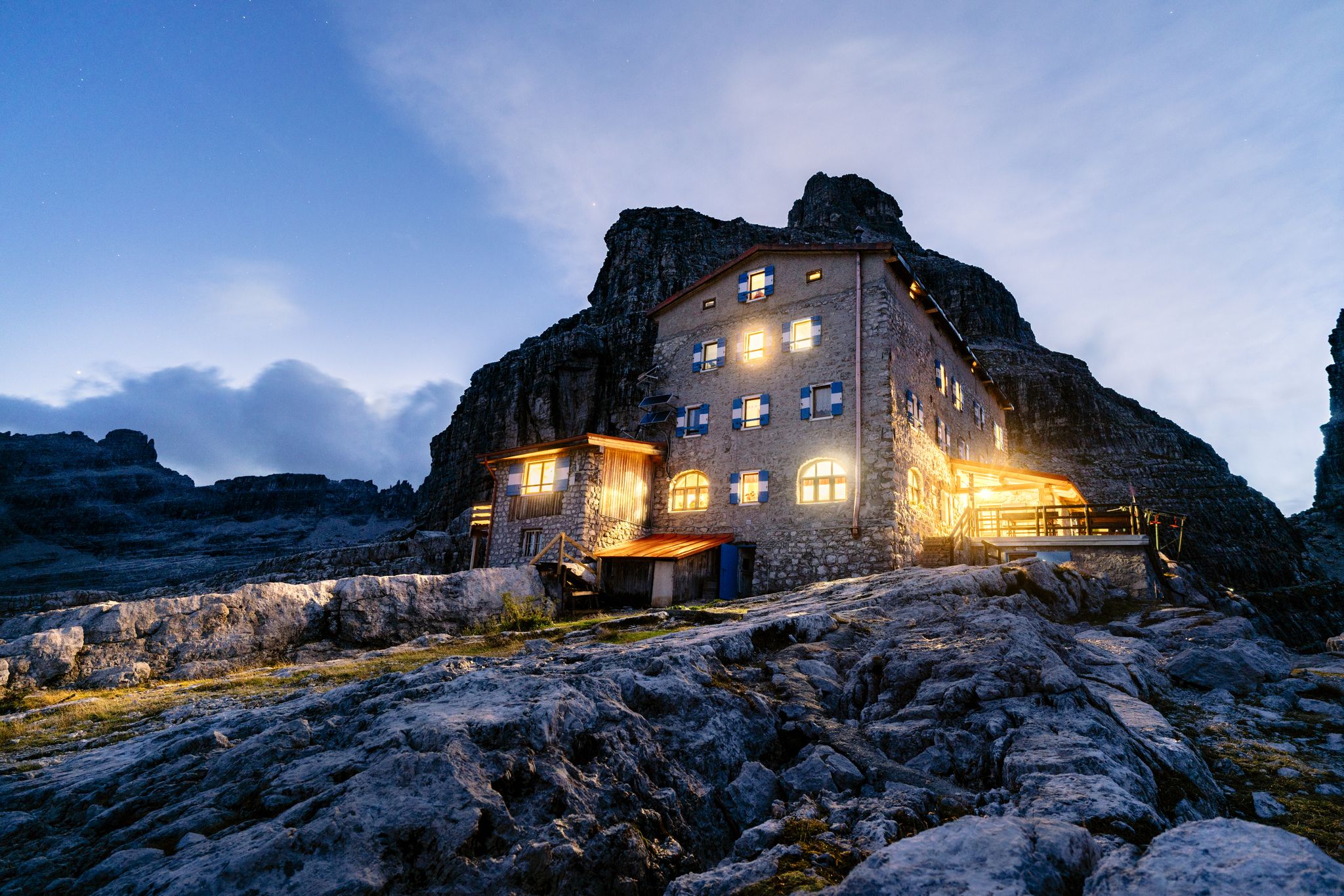
Top 10 mountain Tours in Dolomiti Paganella
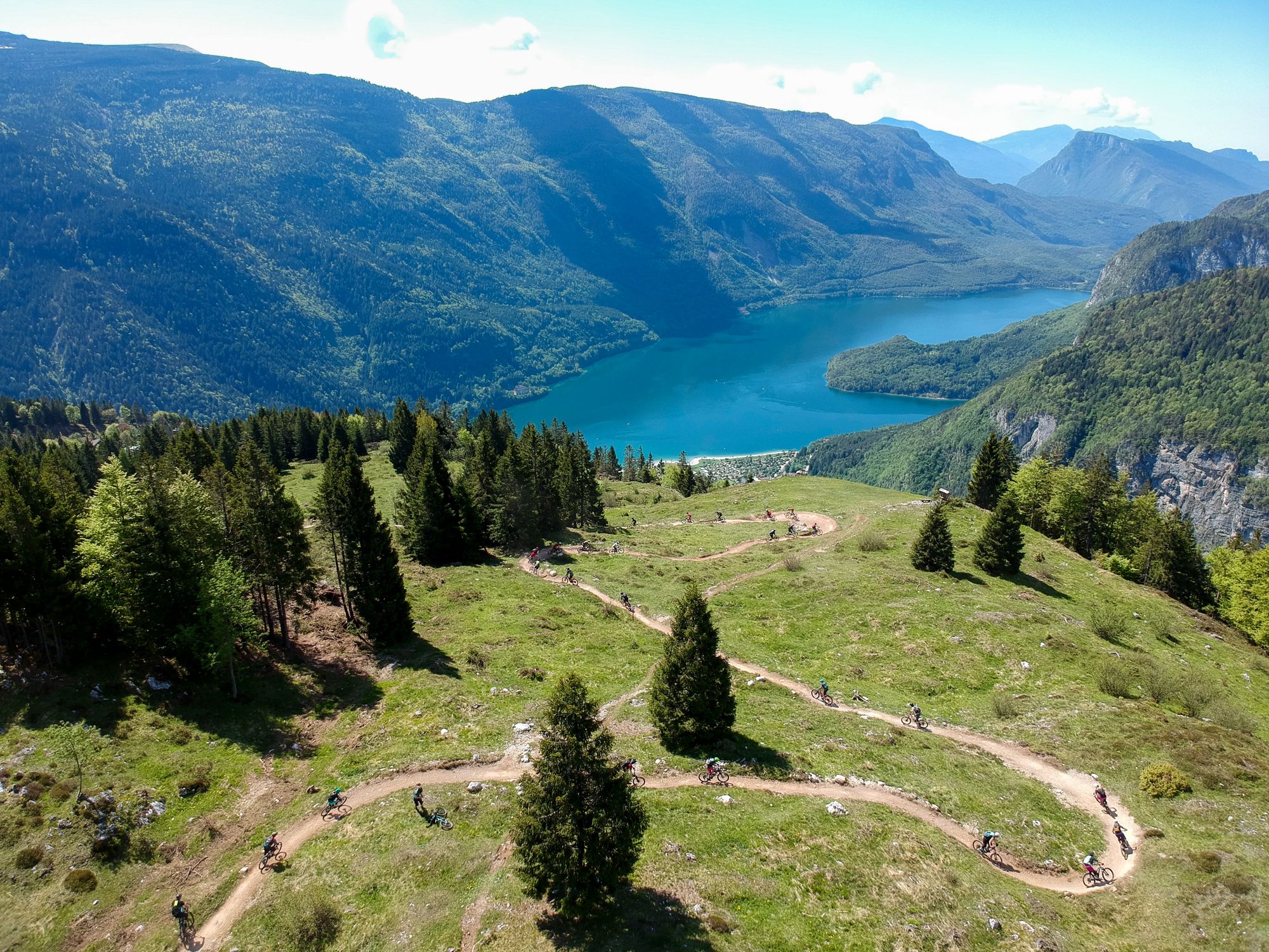
The flow trails of Dolomiti Paganella Bike
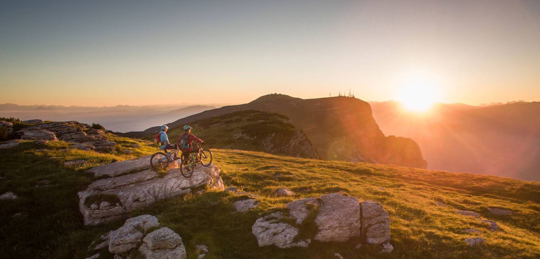
Paradise for everyone — mountain biking in the Dolomiti Paganella
To the most beautiful peaks of the Dolomiti Paganella
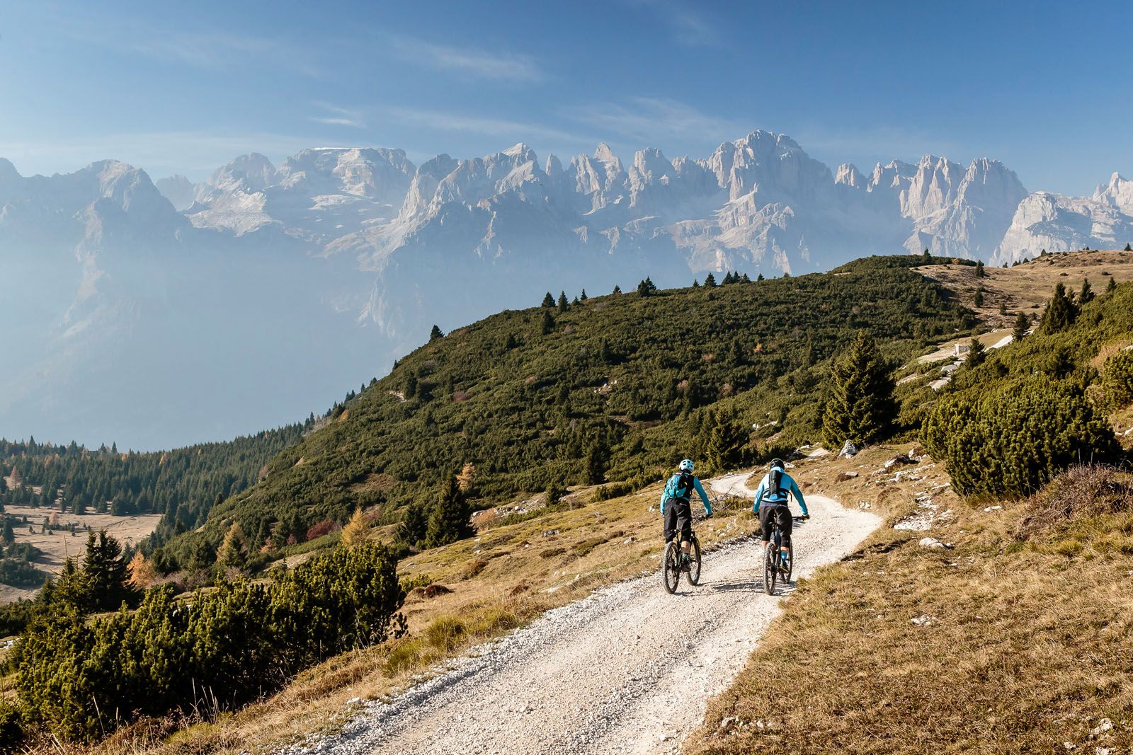
Cross Country Tours in der Dolomiti Paganella
Other adventures around Andalo

Tips from the Community

Sure-footedness
0
0


Quiet spot with a magnificent panorama, a great place for a break if you plan to continue climbing to the highest refuges in the Brenta Dolomites. Also excellent as a transit point for the Molveno, Pradel, Rifugio Croz dell'Altissimo, Selvata, Rifugio Malga Andalo loop.
0
0

tolle Tour zum Rifugio Croz dell` Altissimo
0
0

Amazing views of the sharp and naked rocks. From Molveno it's a steep, direct and beautiful hike.
0
0

A truly beautiful tour. Excellent trail, well-marked and maintained.
1
0

Very beautiful and spacious beach and picnic area
0
0

Path accessible all year round, immersed in nature, with the wonderful Molveno lake as a backdrop.
0
1
Frequently Asked Questions
How many mountaineering routes are there around Andalo?
Andalo offers a wide selection of mountaineering routes, with nearly 50 different trails to explore. These range from moderate to difficult, providing options for various skill levels.
Are there any easy mountaineering routes around Andalo?
While many routes in Andalo are challenging, there are 9 moderate mountaineering routes available. These still require a good level of fitness but are less demanding than the 40 difficult trails. For example, the Rifugio Croz dell'Altissimo – Rio Massodi Waterfall loop from Molveno is a moderate option that takes you past a waterfall.
What kind of terrain can I expect on mountaineering routes in Andalo?
The mountaineering routes around Andalo are characterized by the rugged limestone formations of the Brenta Dolomites. You'll encounter rocky paths, scree slopes, and sometimes exposed sections, often leading through dense coniferous forests and high-altitude plateaus. Significant elevation changes are common, offering expansive views of the Trentino landscape.
Are there any circular mountaineering routes in Andalo?
Yes, many mountaineering routes in Andalo are designed as loops, allowing you to start and end at the same point. Examples include the popular Exposed Mountain Trail – Croz dell'Altissimo loop from Molveno and the Croz dell'Altissimo – Rifugio Croz dell'Altissimo loop from Molveno.
Can I find routes with waterfalls in Andalo?
Yes, some routes offer the chance to see waterfalls. For instance, the moderate Rifugio Croz dell'Altissimo – Rio Massodi Waterfall loop from Molveno will take you past the Rio Massodi Waterfall.
Are there mountain huts or cafes along the routes?
Yes, the Brenta Dolomites are well-equipped with mountain huts, often referred to as 'rifugi', which provide places to rest, eat, and sometimes stay overnight. Notable huts in the area include Croz dell'Altissimo Hut, Casinei Hut, and Rifugio Tuckett and Sella. Many routes, such as the Rifugio Croz dell'Altissimo – Rifugio Selvata loop from Molveno, connect to these refuges.
What are some good viewpoints on the mountaineering routes?
The Brenta Dolomites offer spectacular panoramic views. Many routes lead to high-altitude points or mountain summits. For expansive vistas, consider routes that pass near or ascend to peaks like Cima Paganella or Monte Spinale. The Exposed Mountain Trail – Croz dell'Altissimo loop from Molveno is known for its panoramic views of the Brenta Dolomites.
Is mountaineering in Andalo suitable for families?
While many mountaineering routes in Andalo are rated difficult, there are 9 moderate options that might be suitable for families with older children who are experienced hikers and have a good level of fitness. Always check the route's specific difficulty, length, and elevation gain before setting out with children.
What is the best time of year for mountaineering in Andalo?
The best time for mountaineering in Andalo is typically from late spring to early autumn (June to September). During these months, the weather is generally more stable, trails are clear of snow, and mountain huts are open. Always check local weather forecasts and trail conditions before your trip.
Are there options for winter mountaineering in Andalo?
Andalo and the Brenta Dolomites are popular for winter sports, but winter mountaineering requires specialized equipment, experience, and knowledge of avalanche safety. Some trails may be accessible with snowshoes or skis, but many high-alpine routes become significantly more challenging and dangerous due to snow and ice. It's advisable to consult local guides and conditions reports for winter activities.
What do other mountaineers say about the routes in Andalo?
The mountaineering routes in Andalo are highly regarded by the komoot community, with an impressive average rating of 4.8 stars from over 170 reviews. More than 1100 mountaineers have used komoot to explore the varied terrain, often praising the dramatic scenery, well-maintained paths, and the challenging yet rewarding nature of the trails.
How long do mountaineering routes around Andalo typically take?
The duration of mountaineering routes in Andalo varies significantly depending on the trail's length and difficulty. For example, the Exposed Mountain Trail – Croz dell'Altissimo loop from Molveno typically takes around 5 hours and 34 minutes, while the longer Croz dell'Altissimo – Rifugio Croz dell'Altissimo loop from Molveno can take over 7 hours to complete.
Most popular attractions around Andalo

Get inspired with the komoot mobile app


Explore more
Browse the best Mountain Hikes & Routes in other regions.
