The best mountain hikes around Altopiano Della Vigolana
4.8
(25)
184
hikers
9
hikes
Mountaineering around Altopiano Della Vigolana offers diverse terrain characterized by mountain peaks, forested slopes, and deep valleys. The region features a mix of challenging ascents and moderate paths, often incorporating historical elements and impressive rock formations. This landscape provides varied opportunities for mountaineers seeking both technical sections and scenic traverses.
Best mountaineering routes around Altopiano Della Vigolana
- The most popular mountaineering route is Valimpach Via Ferrata – Cliffside View loop from Centa San Nicolò, a 4.2 miles (6.7 km)…
Last updated: August 15, 2026
4.3
(6)
30
hikers
6.70km
02:34
440m
440m
Moderate mountaineering route. Good fitness required. Easily-accessible paths. Suitable for all skill levels.
5.0
(3)
15
hikers
11.3km
05:58
910m
910m
Hard mountaineering route. Very good fitness required. Sure-footedness, sturdy shoes and alpine experience required.

Sign up for free
16
hikers
7.41km
03:06
450m
450m
Moderate mountaineering route. Good fitness required. Mostly accessible paths. Sure-footedness required.
5.0
(3)
13
hikers
9.30km
04:48
770m
770m
Hard mountaineering route. Good fitness required. Sure-footedness, sturdy shoes and alpine experience required.
6
hikers
15.0km
05:51
940m
940m
Hard mountaineering route. Very good fitness required. Mostly accessible paths. Sure-footedness required.
Get access to more routes and recommendations from other explorers.
Sign up for free
Already have an account?
Our route recommendations are based on thousands of hikes, rides, and runs completed by other people on komoot.
Start today with a free account
Your next adventure awaits.
Login or Signup
Popular around Altopiano Della Vigolana
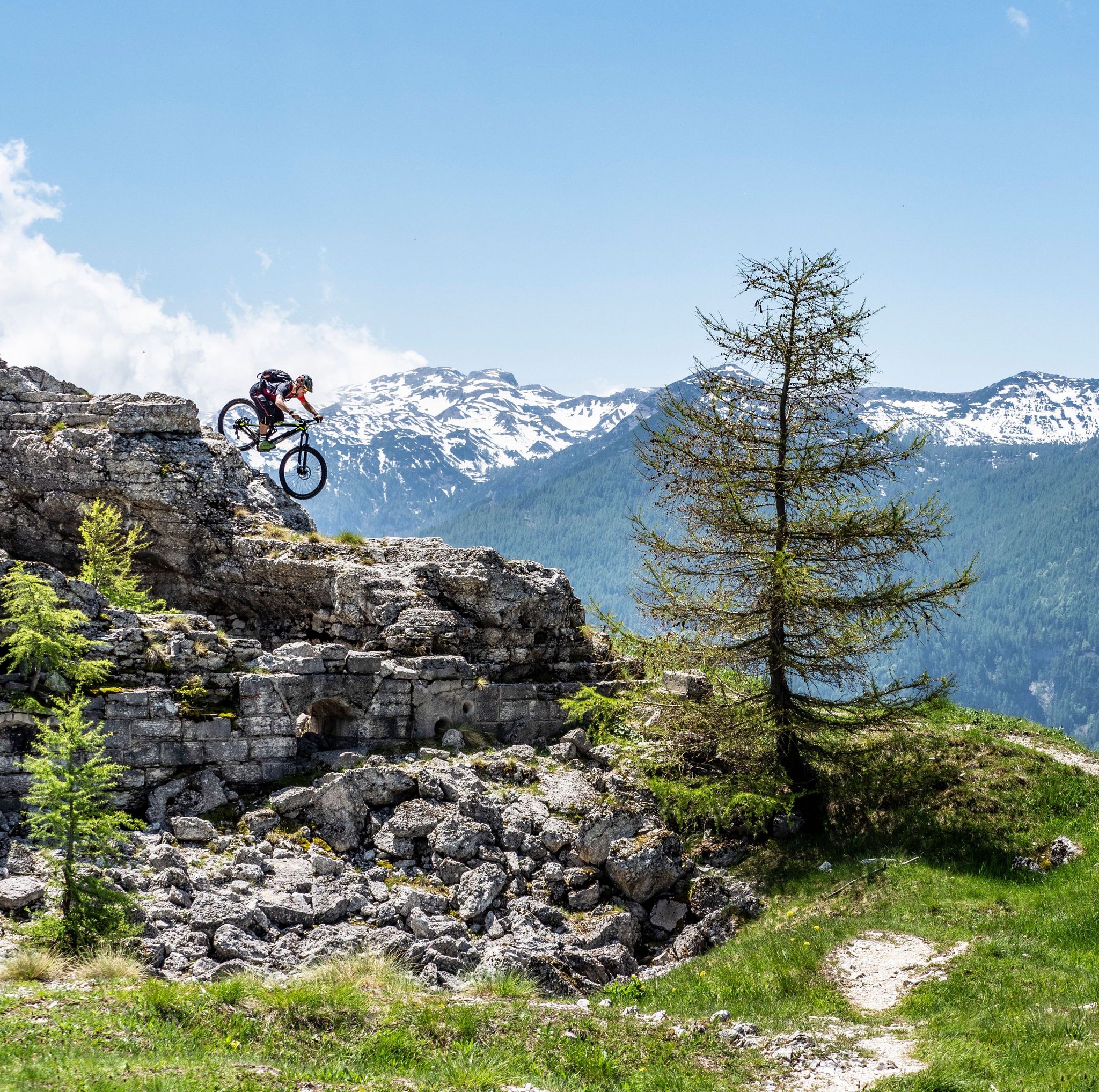
Free your energy! The mountain bike routes of Alpe Cimbra
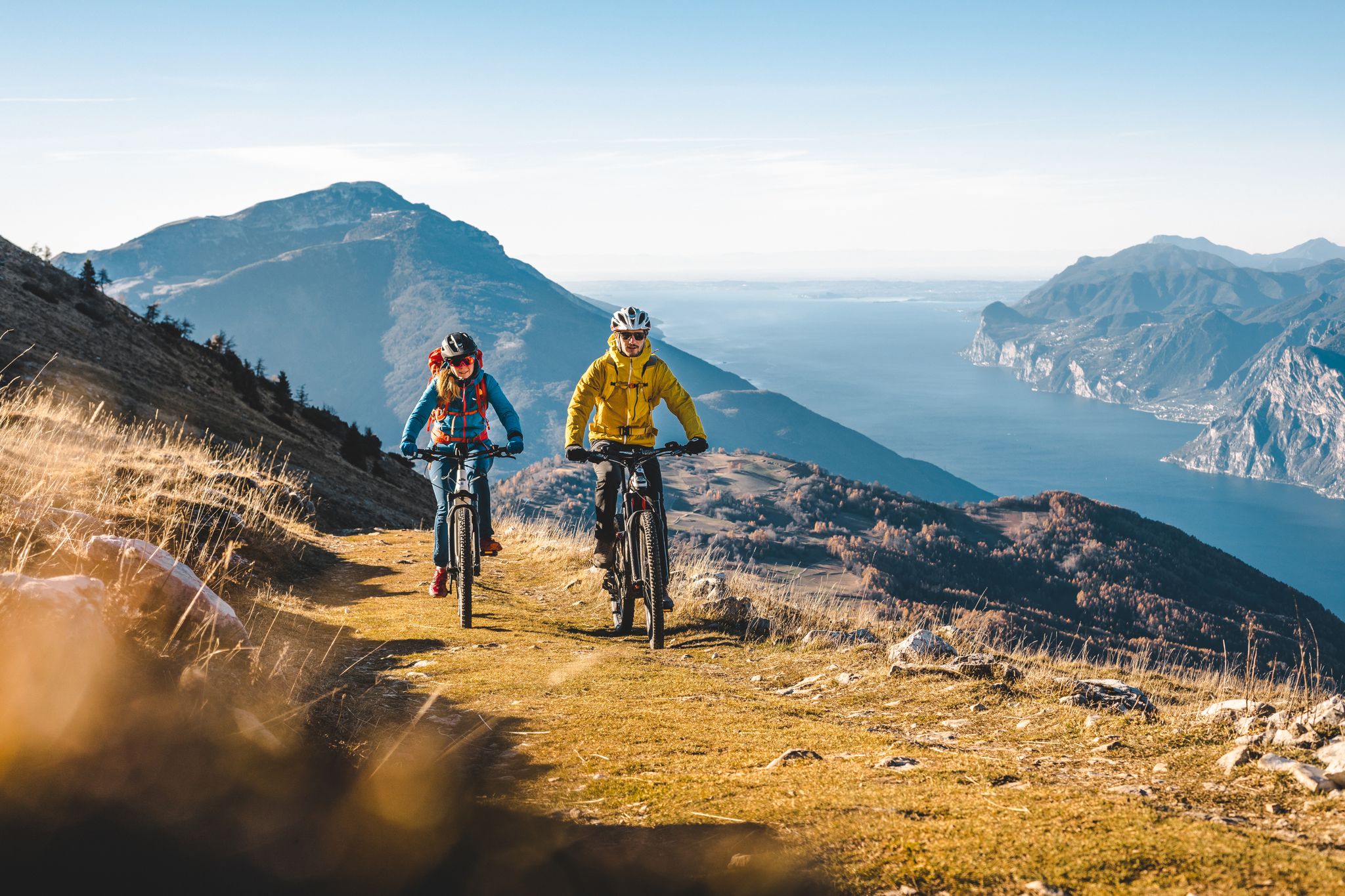
Mountain biking in Trentino in Italy – 10 varied routes
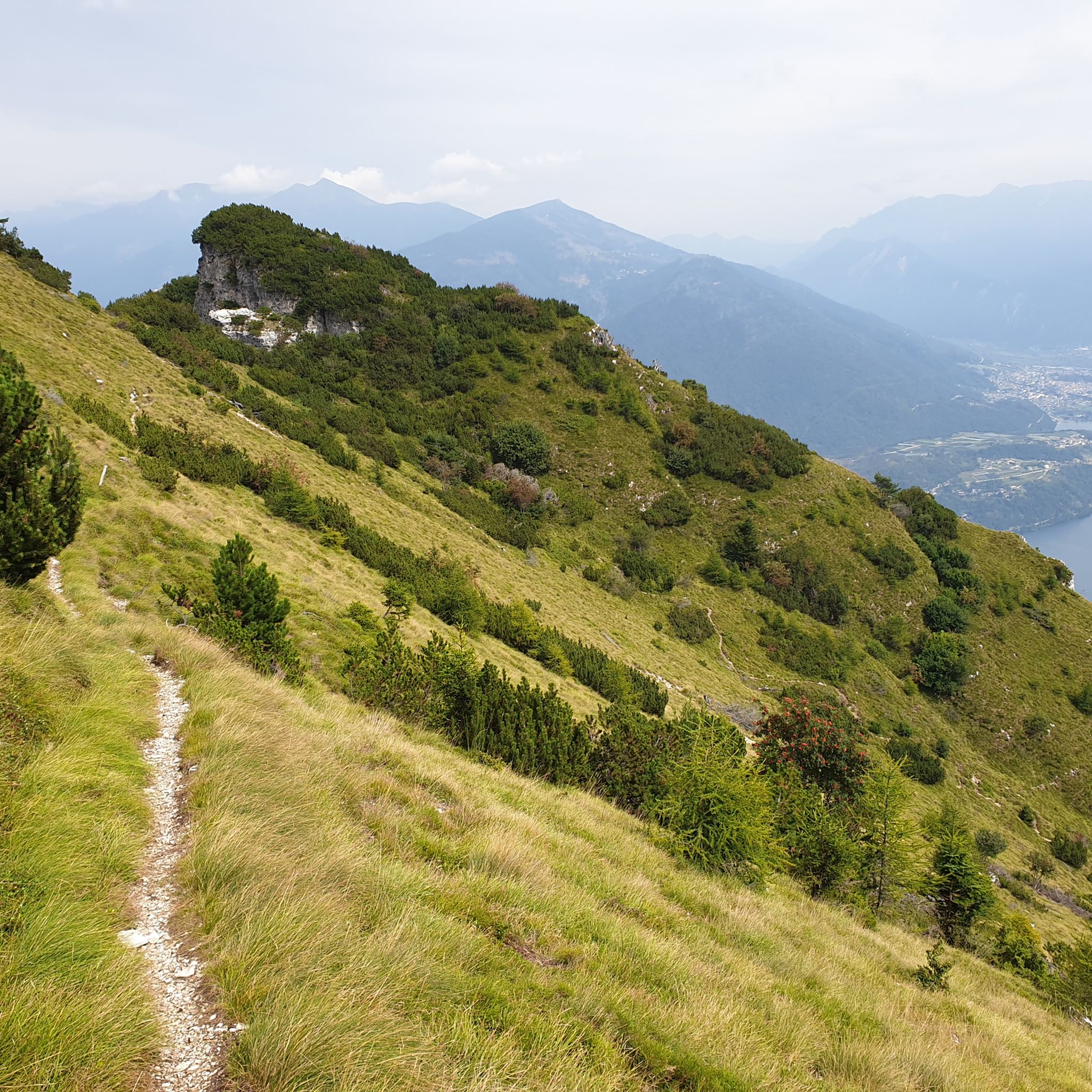
Hiking around Altopiano Della Vigolana
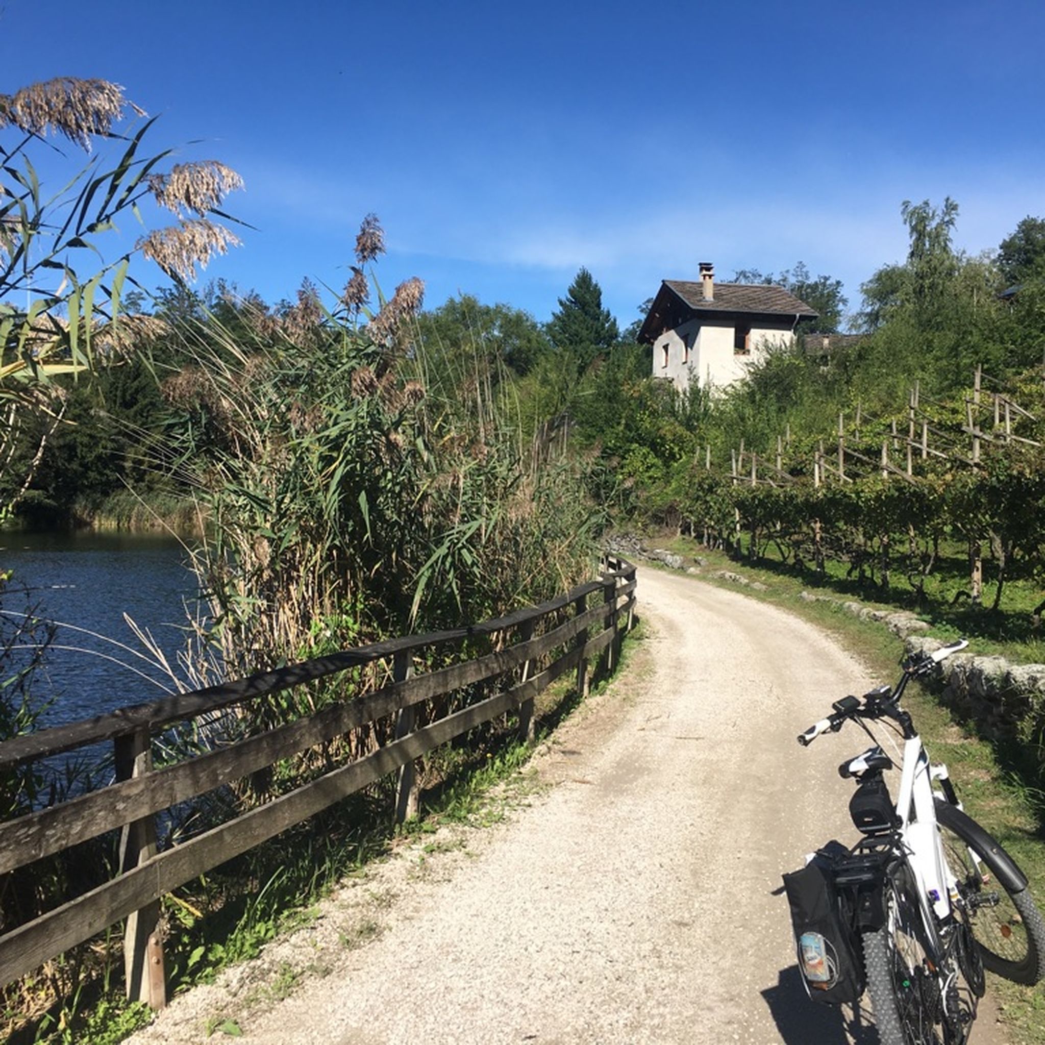
Cycling around Altopiano Della Vigolana
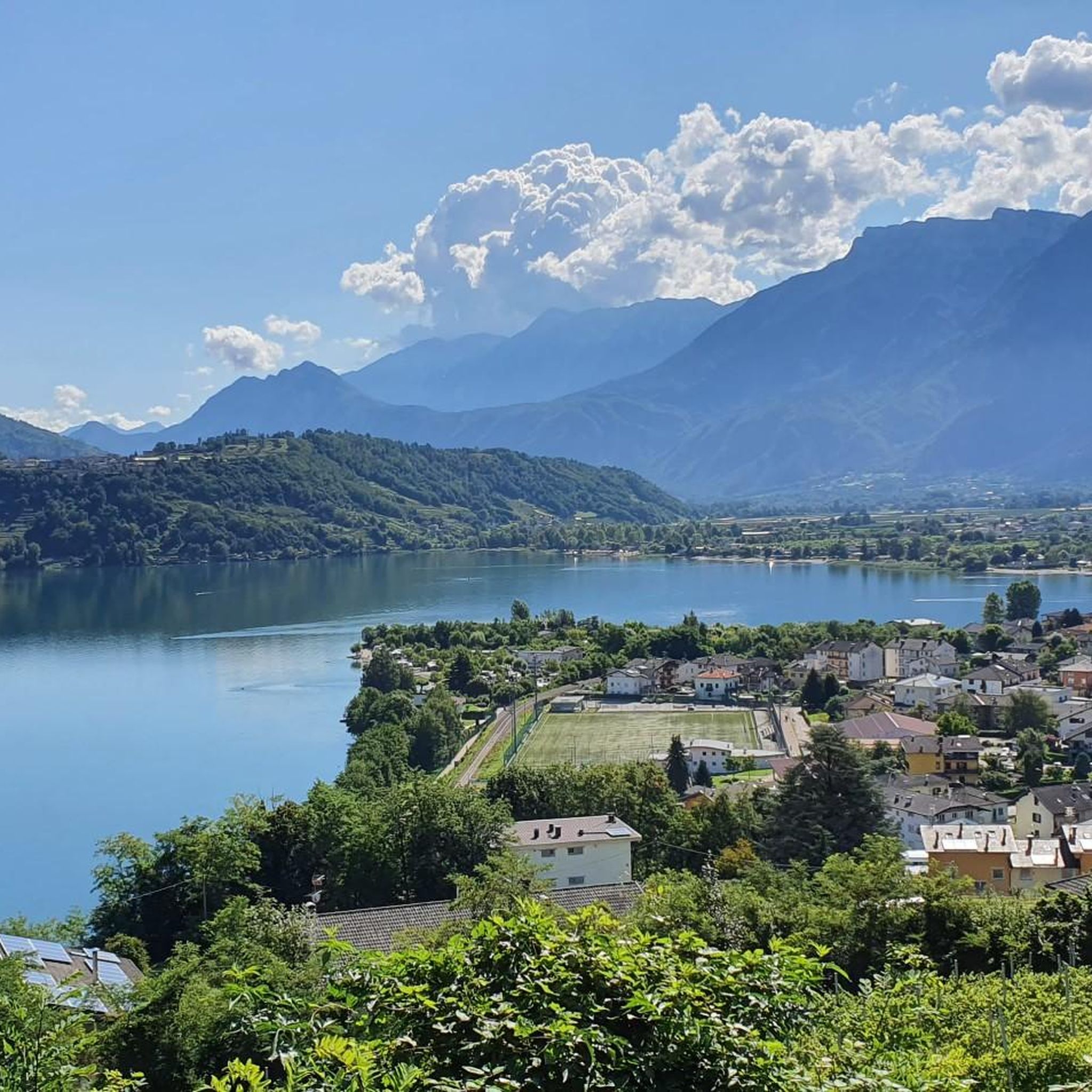
Road Cycling Routes around Altopiano Della Vigolana

Gravel biking around Altopiano Della Vigolana
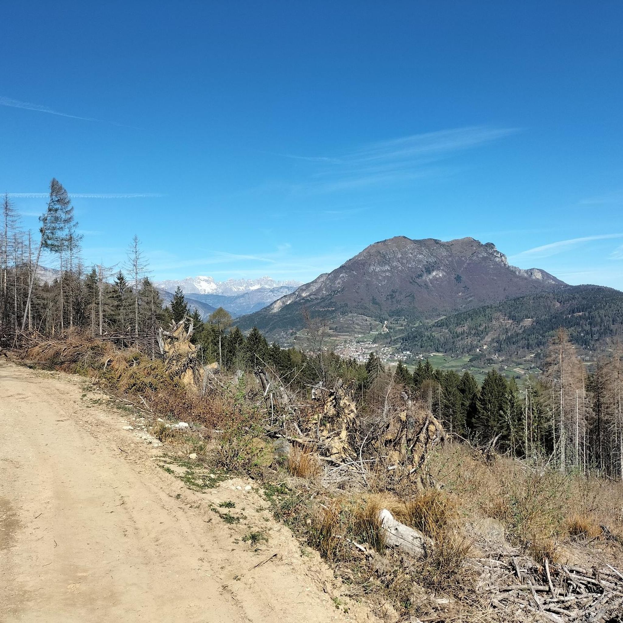
MTB Trails around Altopiano Della Vigolana
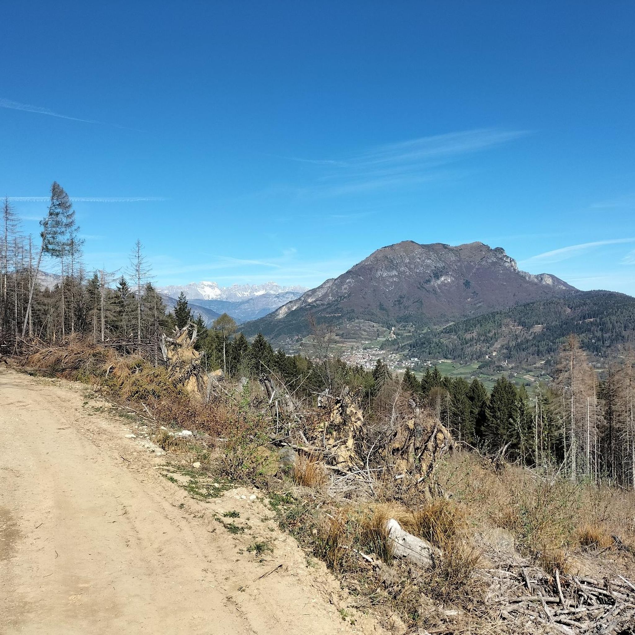
Running Trails around Altopiano Della Vigolana


Tips from the Community

Today started from P3, cooling under the bushes and trees along the stream, little water at 1/8 but still small waterfalls to cool off under. The end offers beautiful rock formations and strangely several nudists!?
0
0

rideable up to halfway but then the lower part is completely unrideable. also pushing is rather dangerous. Should really only be ridden by full pros.
0
0

Closed until the end of 2026 for all traffic
0
0

spectacular view, very loose path to reach the viewpoint.
0
0

The suggestive and old connecting road to the village of Valle. Recommended for descent
0
0
If it were possible to have the number of people who stopped at this point to admire the fabulous panorama, it would surely be hundreds of thousands.
1
0
The little church of Vezzena pass
0
0
The second tunnel you encounter during the ascent
0
0
Frequently Asked Questions
What types of mountaineering routes can I find in Altopiano Della Vigolana?
The Altopiano Della Vigolana region offers a mix of moderate and difficult mountaineering routes. You'll encounter challenging ascents, forested slopes, and paths that often incorporate historical elements and impressive rock formations. There are 6 moderate and 5 difficult routes available.
Are there any circular mountaineering routes in Altopiano Della Vigolana?
Yes, many of the mountaineering routes in Altopiano Della Vigolana are circular. For example, you can explore the Mountaineering loop from Sentiero della Pace, a challenging 7.4-mile path, or the Fort Cima Vezzena loop from Passo Vezzena, which is a moderate 4.8-mile trail.
What are some of the more challenging mountaineering routes in the area?
For those seeking a challenge, the Mountaineering loop from Sentiero della Pace is a difficult 7.4-mile route with significant elevation gain. Another demanding option is the Mountaineering loop from Santa Giuliana, covering 5.6 miles with substantial climbing.
Are there any via ferrata sections on the mountaineering routes?
Yes, one notable route featuring a via ferrata section is the Valimpach Via Ferrata – Cliffside View loop from Centa San Nicolò. This moderate 4.2-mile trail offers thrilling cliffside views.
What historical sites or landmarks can I see along the mountaineering routes?
The region is rich in history. You can explore historical fortifications and mountain passes on routes like the Fort Cima Vezzena loop from Passo Vezzena. Nearby attractions also include various castles such as Pergine Castle and Buonconsiglio Castle, as well as historical sites like Forte Dosso delle Somme.
What do other mountaineers enjoy most about the routes in Altopiano Della Vigolana?
The mountaineering routes in Altopiano Della Vigolana are highly rated by the komoot community, with an average score of 4.9 stars from more than 20 reviews. Users often praise the diverse terrain, which includes mountain peaks, dense forests, and historical sites, offering a varied and engaging experience.
What is the best time of year for mountaineering in Altopiano Della Vigolana?
The best time for mountaineering in Altopiano Della Vigolana is typically from late spring to early autumn (May to October), when the weather is generally stable and trails are clear of snow. Always check local weather conditions before heading out, especially at higher elevations.
Are there any routes that offer views of lakes or other natural attractions?
While the routes themselves focus on mountain terrain, the Altopiano Della Vigolana region is close to beautiful lakes. You can find attractions like Lake Caldonazzo and Lake Levico nearby, which can be combined with your mountaineering trip for a complete outdoor experience.
What should I wear and bring for mountaineering in this region?
For mountaineering in Altopiano Della Vigolana, it's essential to wear appropriate layers, including moisture-wicking base layers, insulating mid-layers, and a waterproof/windproof outer shell. Sturdy hiking boots with good ankle support are crucial. Always carry a backpack with water, snacks, a first-aid kit, navigation tools, and sun protection. For routes with via ferrata sections, ensure you have the necessary climbing gear.
Are there any less crowded mountaineering routes or hidden gems?
To find less crowded routes, consider exploring trails that are not explicitly mentioned as 'most popular' in general guides. The Trail in the Gorge loop from Piazza, a moderate 5-mile route, offers a different perspective and might be less frequented than some of the more well-known options.
What are the typical distances and durations for mountaineering routes here?
The mountaineering routes in Altopiano Della Vigolana vary in length and duration. You'll find routes ranging from approximately 4.2 miles (6.7 km) like the Valimpach Via Ferrata – Cliffside View loop, which takes about 2 hours 33 minutes, up to 7.4 miles (11.9 km) for more challenging options like the Mountaineering loop from Sentiero della Pace, which can take over 5 hours.
Is it possible to reach the trailheads using public transport?
While some larger towns in the vicinity of Altopiano Della Vigolana are accessible by public transport, reaching specific mountaineering trailheads often requires a car. It's advisable to check local bus schedules and connections to the nearest villages or consider carpooling for direct access to the starting points of the routes.
Most popular routes around Altopiano Della Vigolana
Most popular attractions around Altopiano Della Vigolana

Get inspired with the komoot mobile app


Explore more
Browse the best Mountain Hikes & Routes in other regions.
