The best mountain hikes around Fino Del Monte
4.5
(7)
31
hikers
4
hikes
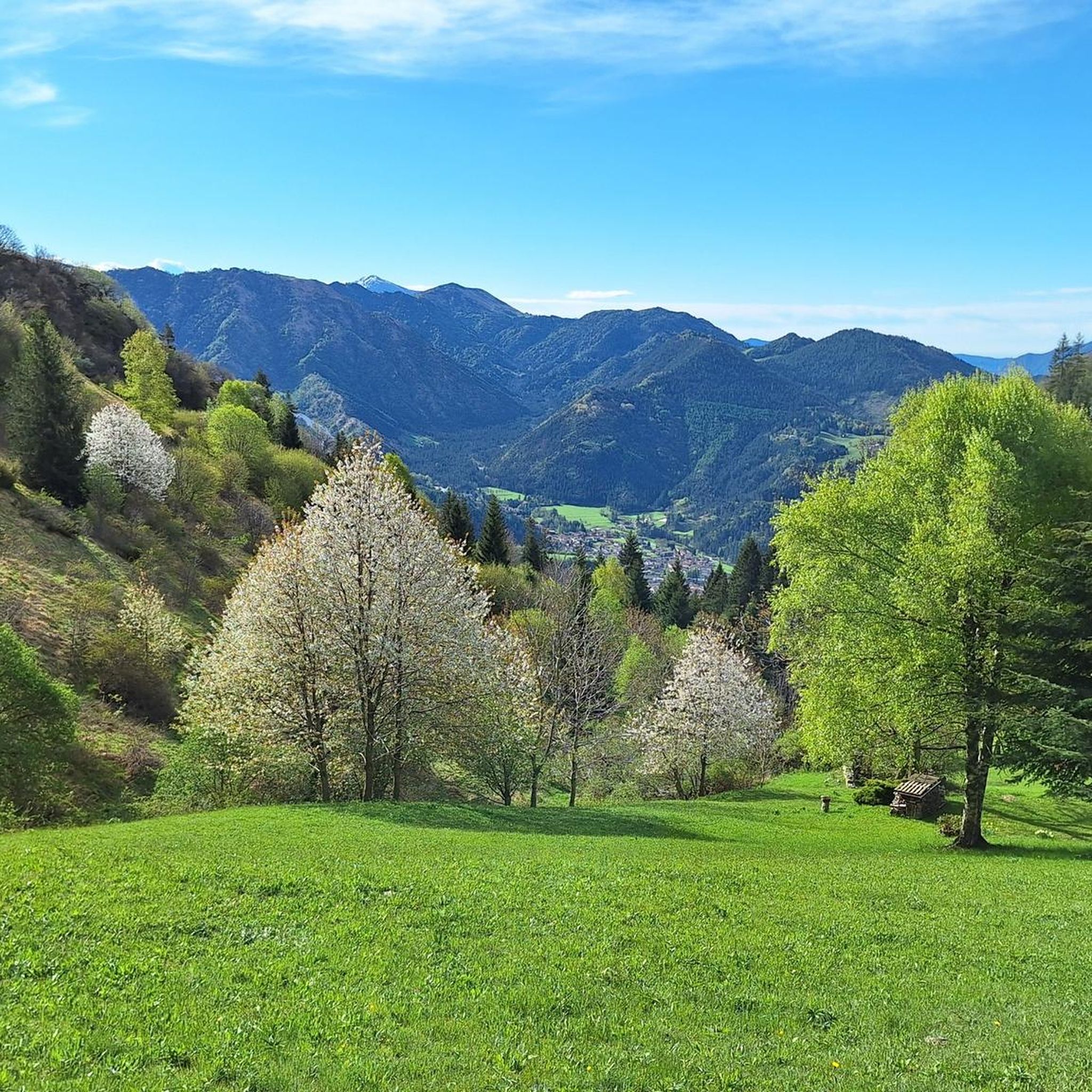
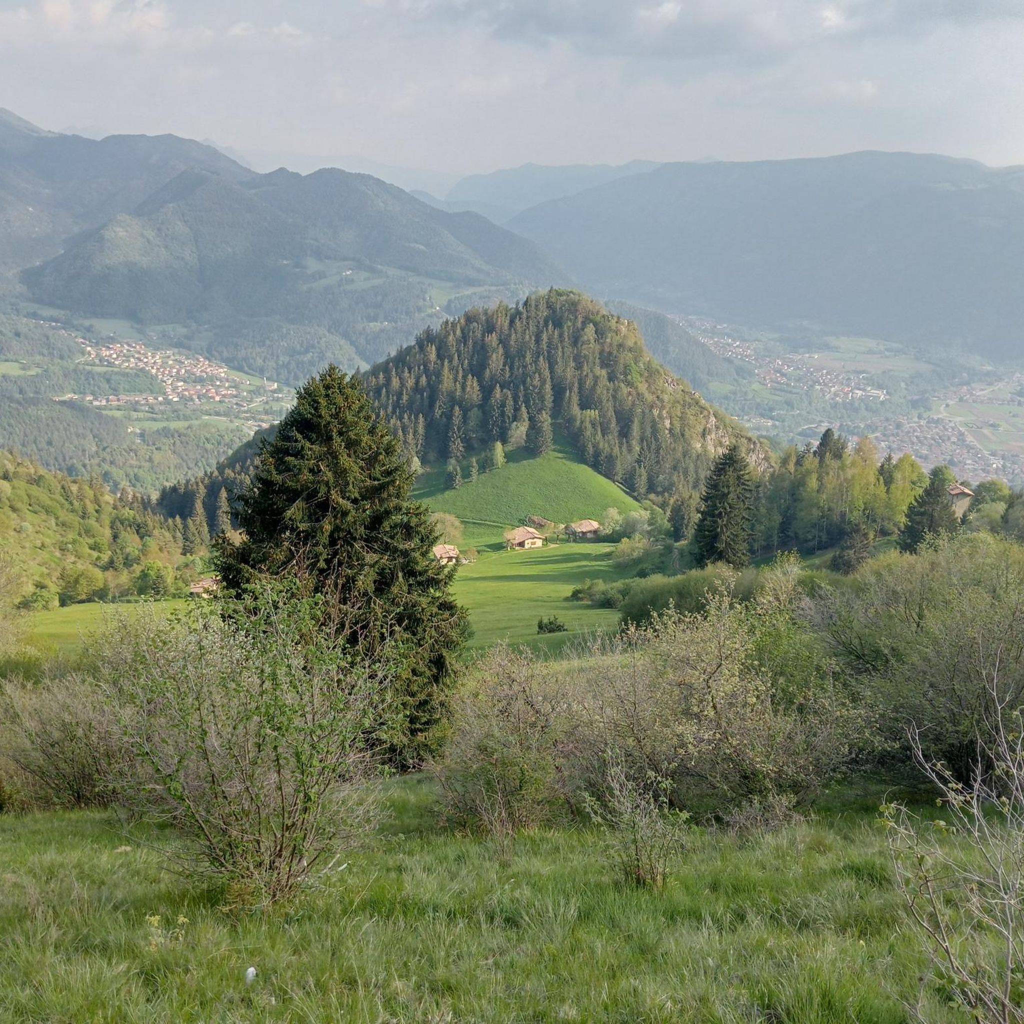
Mountaineering routes around Fino Del Monte are situated in the Province of Bergamo, Italy, within the Orobie Prealps. The region is characterized by its mountainous terrain, including the prominent Presolana Massif, which reaches 2,521 meters. Diverse elevations range from approximately 600 meters to over 2,000 meters, offering varied landscapes for mountaineering. This area features a mix of alpine meadows, thick forests, and significant peaks, providing a challenging environment for outdoor activities.
Best mountaineering routes around Fino Del Monte
- The most…
Last updated: August 1, 2026
3.6
(5)
13
hikers
9.88km
04:48
920m
920m
Hard mountaineering route. Very good fitness required. Sure-footedness, sturdy shoes and alpine experience required.
6
hikers
11.5km
05:04
860m
860m
Hard mountaineering route. Very good fitness required. Sure-footedness, sturdy shoes and alpine experience required.

Sign up for free
5.0
(1)
6
hikers
16.7km
07:42
1,280m
1,280m
Hard mountaineering route. Very good fitness required. Sure-footedness, sturdy shoes and alpine experience required.
3
hikers
13.9km
06:31
1,050m
1,050m
Hard mountaineering route. Very good fitness required. Sure-footedness, sturdy shoes and alpine experience required.
5.0
(1)
3
hikers
16.8km
07:59
1,330m
1,330m
Hard mountaineering route. Very good fitness required. Sure-footedness, sturdy shoes and alpine experience required.
Our route recommendations are based on thousands of hikes, rides, and runs completed by other people on komoot.
Start today with a free account
Your next adventure awaits.
Login or Signup
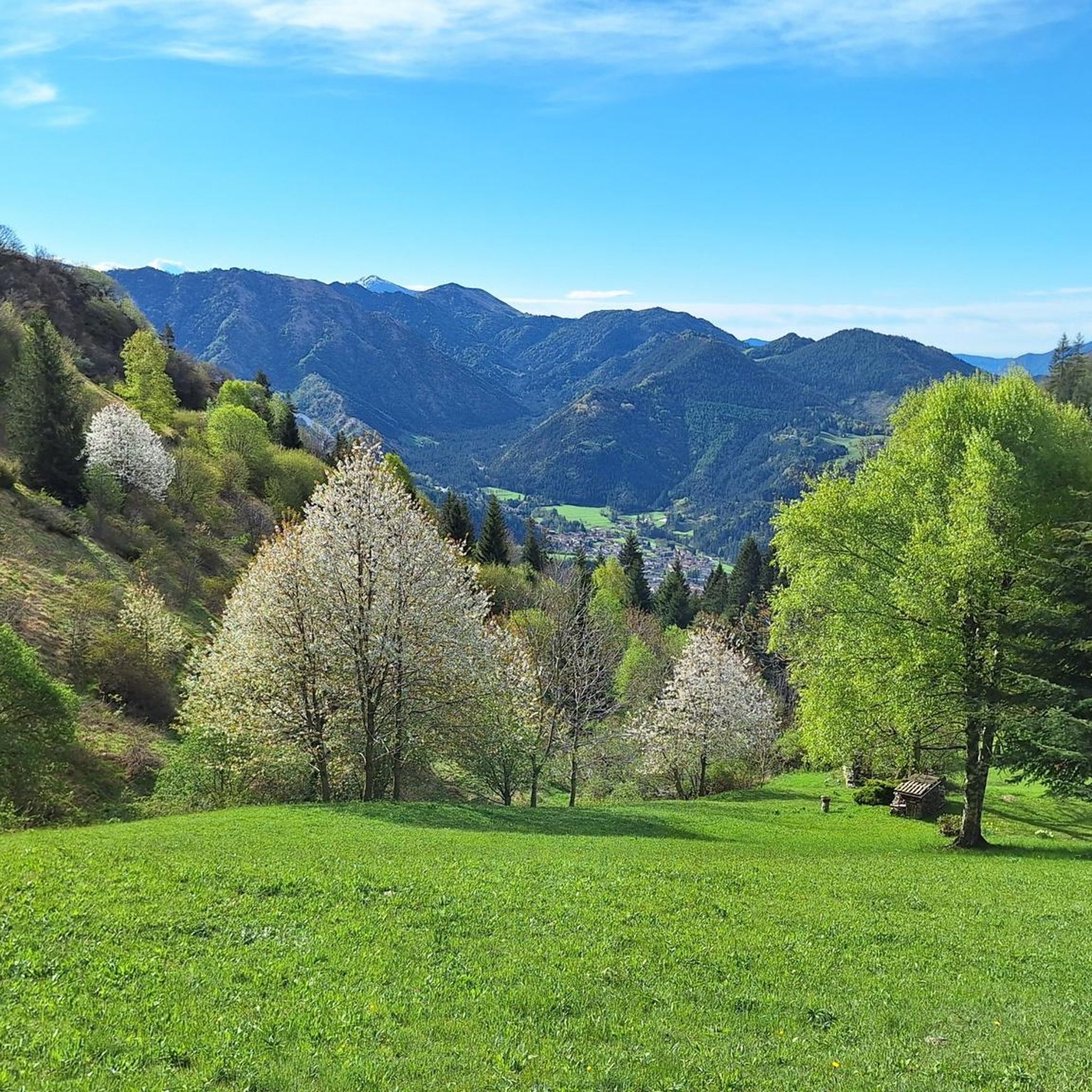
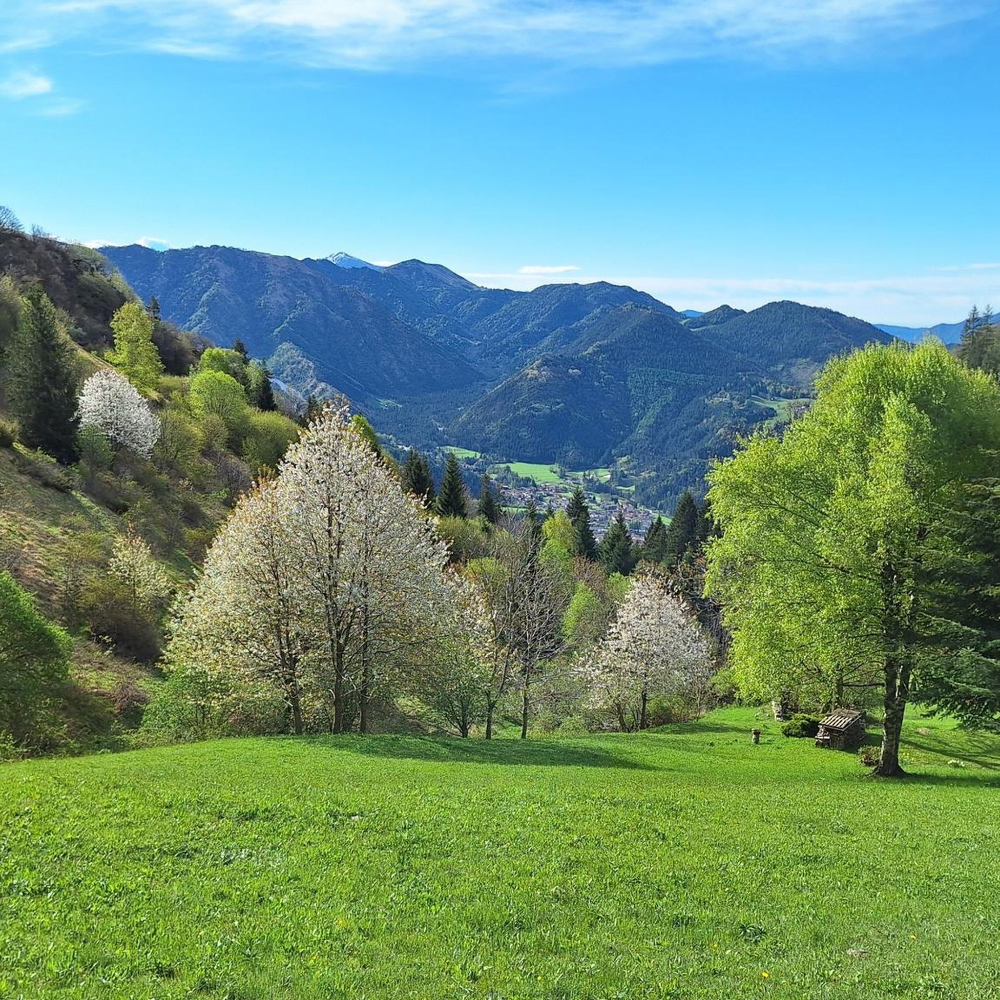
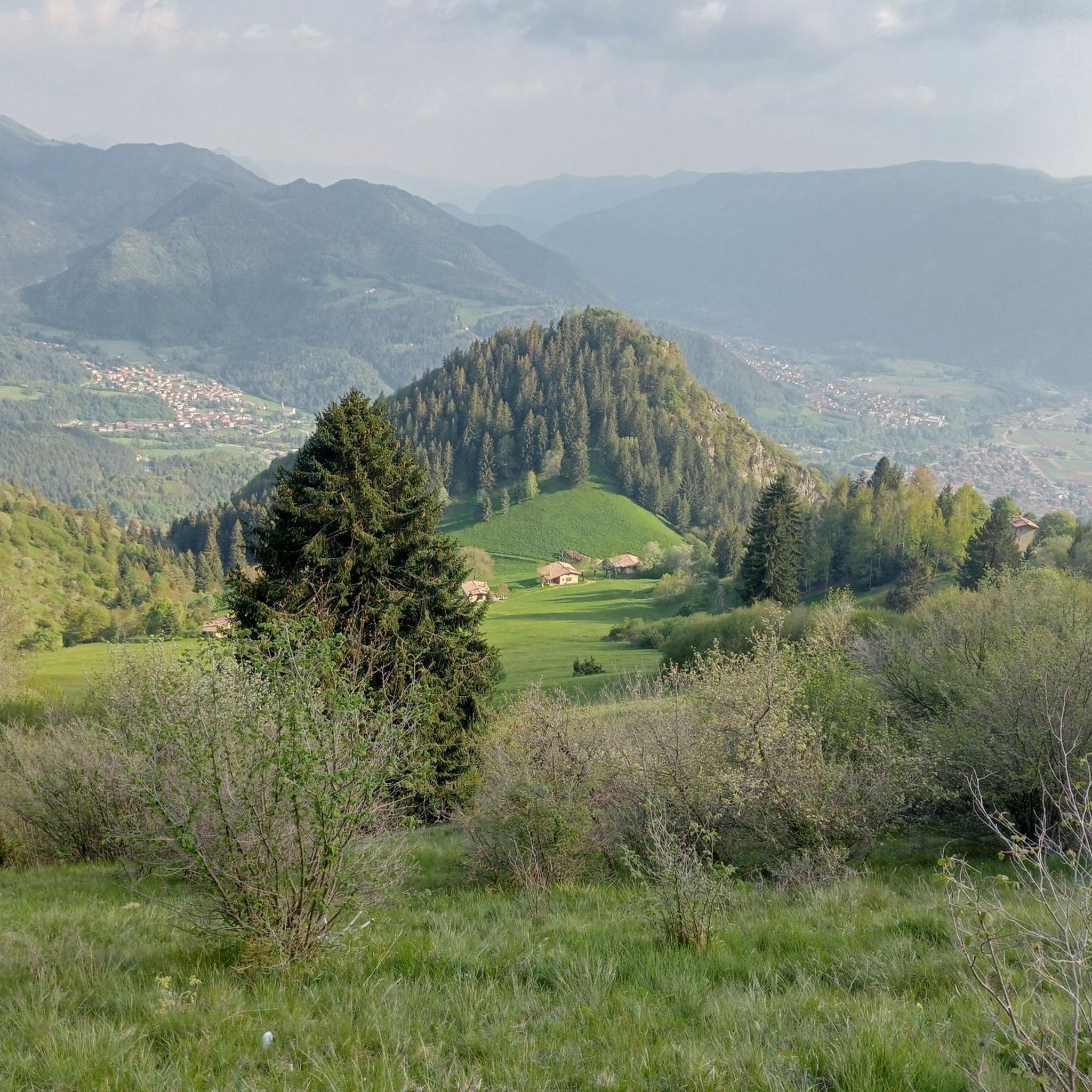
Tips from the Community

cover charge 1€ extra bread 1€ barley soup 9€ gnocchi with cream, speck, Zola 13€ pasta with ragu 12€ polenta with goulash or stew 16€
0
0


Passo degli Agnelli (1,950 m) is a charming panoramic pass located at the foot of the southern walls of Presolana, in the province of Bergamo. Accessible mainly from Rifugio Rino Olmo or via routes including the Sentiero delle Capre and Rifugio Cassinelli, it offers a unique alpine environment, often frequented for hikes and chamois spotting.
0
0

The Cappelletta di San Carlo, which you encounter when climbing from Tezzi Alti di Gandellino towards Val Sedornia, is a small place of alpine devotion dedicated to Saint Charles Borromeo, a saint greatly venerated throughout Lombardy. Its origin is linked to popular tradition and the widespread presence of the Borromean cult in the Bergamo valleys, especially between the 17th and 18th centuries, when many rural communities erected chapels and votive markers to ask for protection against diseases, famines, and natural disasters. The chapel is located along an ancient connecting path between the hamlets of Tezzi and the pastures of Sedornia: a mandatory passage point for shepherds, farmers, and travelers. Precisely for this reason, the local community wanted to place a small, simple stone sacred building here, as a sign of protection for those undertaking the climb towards the mountain pastures. Its position, slightly raised from the path and overlooking the Sedornia stream, recalls the typical function of alpine votive chapels: to bless the journey and watch over the valley. Over time, the chapel has become an identity reference for the inhabitants of Gandellino and Tezzi. Even today, it is carefully maintained and is part of local cultural routes, as confirmed by tourist itineraries that include it among the historical points of interest in the area.
0
0
The Spiazzi dell'Acqua Picnic Area is one of the most peaceful and pleasant spots in the Gandellino area, surrounded by greenery and perfect for a relaxing break before or after a hike. Located in an easily accessible clearing, it offers tables, natural shade, and a cool atmosphere thanks to the proximity to the water. It's a simple yet meticulously maintained spot, ideal for families, groups, or anyone looking to enjoy a quiet moment in nature. Its secluded location and wooded setting make it a small haven of peace, convenient to reach yet far from the noise.
0
0
The erratic boulder, a parallelepiped of reddish-purple verrucano, has a volume of about 20 cubic meters and emerges from the ground by about 130 cm. The walls facing East and West have detached from the boulder due to weathering, rotating slightly outwards and show an outline of carved steps to facilitate access to the boulder. The upper part, slightly concave and sloping towards the valley, features various rough-hewn but somewhat symmetrically arranged carvings, cupules, and small channels: they are mainly distributed along three parallel lines. The face facing North also shows a series of cup-shaped carvings arranged in an oblique line. The shape and distribution of these carvings are such that they cannot be considered of natural origin. This altar stone was presumably a sacred place for the ancient priests, the Druids of the Celts. Perhaps a place of sacrifice. According to studies carried out here and in other areas of the Alps, it is believed that the altar stone was used for sacred rites between the third and first millennia BC. In reality, the sacredness of this place is not only related to prehistory. The name "Sedornia" is a transformation of the Roman name "Sáturnia", thus another religious element, the god Saturn, god of nature, prosperity, and abundance.
0
0
Lake Spigorel is a small alpine lake in the Sedornia Valley, accessible from Tezzi Alti (Gandellino) via CAI trail 309. It is a popular destination for its wild location between Monte Barbarossa and Vigna Vaga. 🚶♂️ Route from Tezzi Alti Key details Start: Tezzi Alti (969 m) Arrival: Lake Spigorel (approximately 1,800 m) Difficulty: Hiking (E) Duration: Outward journey: ~3 hours Return journey: ~2 hours Elevation gain: ~830 m General route outline Take the forest road of the Sedornia Valley. Pass by the Chapel of San Carlo (1,163 m). Continue through woods and pastures to the Vigna Vaga huts. The final stretch climbs steeply toward the lake basin. ⭐ Why go there Wild and untouched environment. Excellent viewpoint over the Sedornia Valley. Option to continue toward Sponda Vaga or Rifugio Mirtillo for longer itineraries.
0
0

The trail is suitable for everyone and takes about an hour to reach the refuge. You can either hike along a cobblestone road or through the woods (not recommended if it's snowing in winter because it freezes, and in summer, some sections are very muddy). Be sure to pay extra attention.
0
0
Frequently Asked Questions
What kind of terrain can I expect on mountaineering routes around Fino Del Monte?
Mountaineering routes in Fino Del Monte, situated within the Orobie Prealps, feature diverse and challenging terrain. You'll encounter significant altitude differences, ranging from approximately 600 meters to over 2,000 meters, with prominent peaks like the Presolana Massif. The landscape includes alpine meadows, thick forests, and high mountain passes, offering a demanding environment for experienced mountaineers.
Are there any circular mountaineering routes in the Fino Del Monte area?
Yes, several mountaineering routes around Fino Del Monte are circular. For example, the Rifugio Vodala – Breathtaking View loop from Boario is a popular circular option. Another challenging loop is the Cassinelli Hut – Passo Pozzera loop from Passo della Presolana, which traverses high mountain terrain.
What are some notable natural landmarks or attractions along the mountaineering routes?
The region offers several interesting natural landmarks. You can find the Summit of Pizzo Formico, which provides exceptional vistas. The Savina Chapel also offers a wonderful panorama. For those interested in water features, the Sanguigno Stream Waterfalls are a highlight, and the Giant's Kettles of Valzurio are a unique natural monument.
What is the general difficulty level of mountaineering routes in Fino Del Monte?
All mountaineering routes listed for Fino Del Monte are classified as difficult. They are designed for experienced mountaineers seeking significant elevation changes, technical terrain, and challenging ascents. The area's prominent mountainous surroundings and high mountain passes contribute to their demanding nature.
What do other mountaineers say about the routes in Fino Del Monte?
The mountaineering routes in Fino Del Monte are highly rated by the komoot community, with an average score of 4.2 stars from 8 reviews. Mountaineers often praise the challenging ascents, the panoramic views of the Prealps and Orobie Alps, and the diverse landscapes encountered on trails like the Spigorel Peak – Pizzo di Petto loop from Gandellino.
Are there any routes that offer particularly extensive views?
Yes, many routes provide breathtaking views. The Rifugio Vodala – Breathtaking View loop from Boario is specifically noted for its panoramic vistas. Additionally, the Cassinelli Hut – Passo Pozzera loop from Passo della Presolana offers views towards the Presolana and the valley below.
What is the highest elevation gain on a mountaineering route in this area?
The mountaineering route with the highest elevation gain is the Monte Ferrante Summit – Corna Gemelle loop from Colere, which features an ascent of approximately 1,441 meters. This route is also the longest, covering about 18.5 kilometers.
Are there any caves or gorges to explore near the mountaineering trails?
Yes, the region around Fino Del Monte features interesting geological formations. You can explore the Pagani Cave and the Sanguigno Valley, which is a notable gorge. The Old Via Mala Road and Tunnels also offer a unique historical and natural experience.
What is the typical duration for a mountaineering route in Fino Del Monte?
The duration for mountaineering routes in Fino Del Monte varies depending on the specific trail and your pace. Routes generally range from around 4 hours 46 minutes for shorter loops like the Rifugio Vodala – Breathtaking View loop from Boario, up to over 8 hours for longer and more challenging expeditions such as the Monte Ferrante Summit – Corna Gemelle loop from Colere.
Are there any specific mountain passes that mountaineers frequently traverse?
Yes, mountain passes are a significant feature of the mountaineering landscape here. The Passo degli Agnelli is a notable pass in the area. Additionally, routes like the Cassinelli Hut – Passo Pozzera loop from Passo della Presolana involve traversing high mountain passes like Passo Pozzera, offering challenging terrain and expansive views.
Most popular routes around Fino Del Monte
Most popular attractions around Fino Del Monte

Get inspired with the komoot mobile app


Explore more
Browse the best Mountain Hikes & Routes in other regions.
