The best mountain hikes around Costa Serina
4.6
(18)
157
hikers
4
hikes
Mountaineering routes Costa Serina are situated within the Italian Alps, specifically in the province of Bergamo, offering a diverse alpine environment. The region is characterized by prominent peaks, extensive valleys like Val Seriana and Val Brembana, and a network of trails traversing varied terrain. Mountaineers can expect to encounter challenging ascents, dolomitic rock formations, and high alpine landscapes, providing a robust setting for outdoor pursuits.
Best mountaineering routes around Costa Serina
- The most popular mountaineering route is Capanna 2000 Mountain…
Last updated: August 1, 2026
5.0
(1)
19
hikers
7.94km
03:38
680m
680m
Moderate mountaineering route. Good fitness required. Mostly accessible paths. Sure-footedness required.
4.5
(2)
29
hikers
5.42km
02:25
290m
290m
Hard mountaineering route. Good fitness required. Sure-footedness, sturdy shoes and alpine experience required.

Sign up for free
6
hikers
Hard mountaineering route. Very good fitness required. Sure-footedness, sturdy shoes and alpine experience required.
4.5
(2)
7
hikers
15.5km
07:56
1,310m
1,310m
Hard mountaineering route. Very good fitness required. Sure-footedness, sturdy shoes and alpine experience required.
4
hikers
7.51km
03:03
480m
480m
Hard mountaineering route. Good fitness required. Sure-footedness, sturdy shoes and alpine experience required.
Our route recommendations are based on thousands of hikes, rides, and runs completed by other people on komoot.
Start today with a free account
Your next adventure awaits.
Login or Signup

Tips from the Community

On the summit of Pizzo Arera there is a cast iron cross that stands out against the fantastic panorama of the Orobie.
0
0

Salmezza path increasingly eroded and ruined
1
0
departure point for excursions, the most popular being the flower trail. Be careful to display the ticket that can be purchased at the start of the climb.
0
0

very nice trekking, from Capanna 2000 you go up to the summit cross, a route that is not impossible but not suitable for everyone.
0
1

via ferrata not too difficult but not too obvious either, certainly have the equipment before tackling it.
0
0

As of today (2025) only the remains remain
0
0

Excellent starting point for numerous trips in the area.
0
0

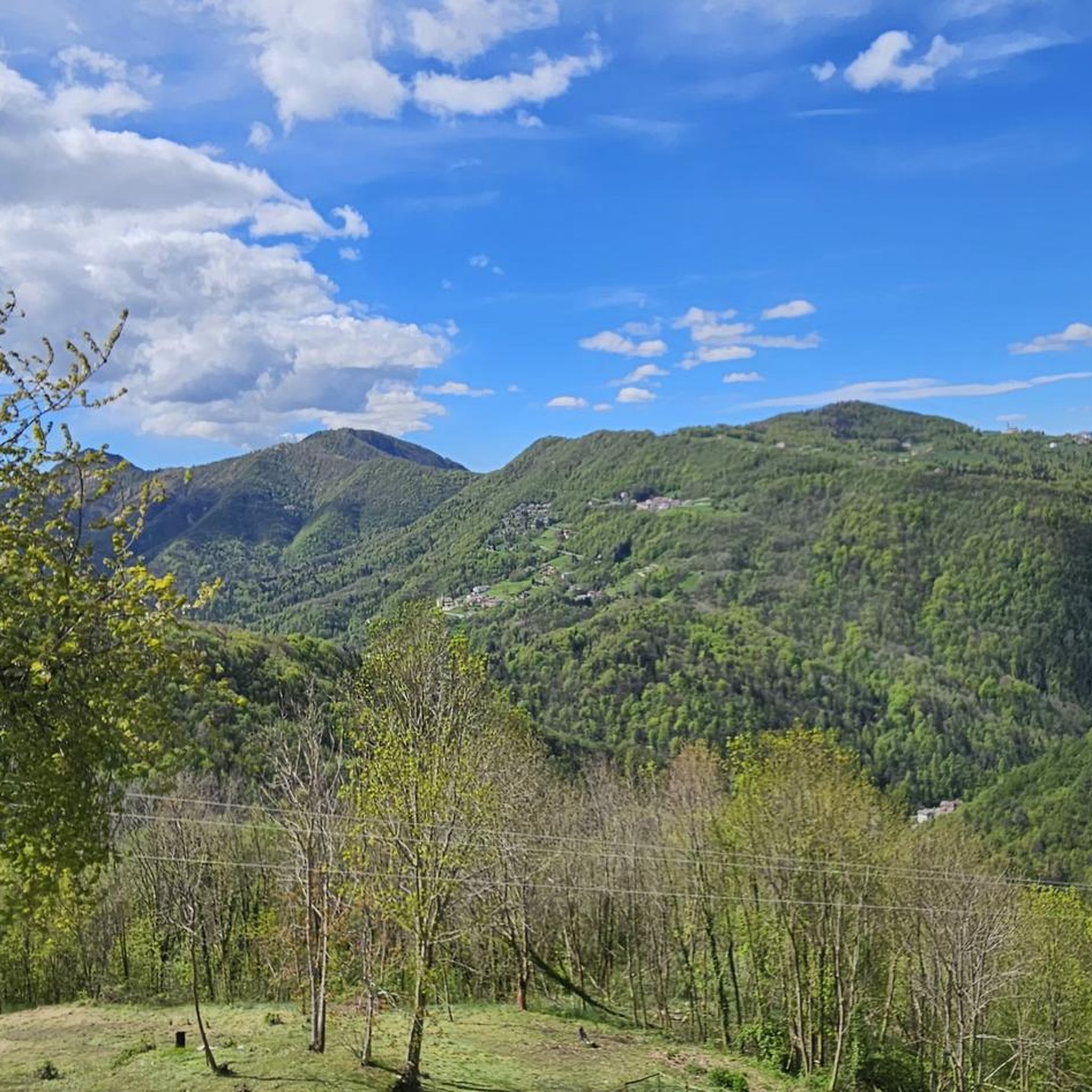
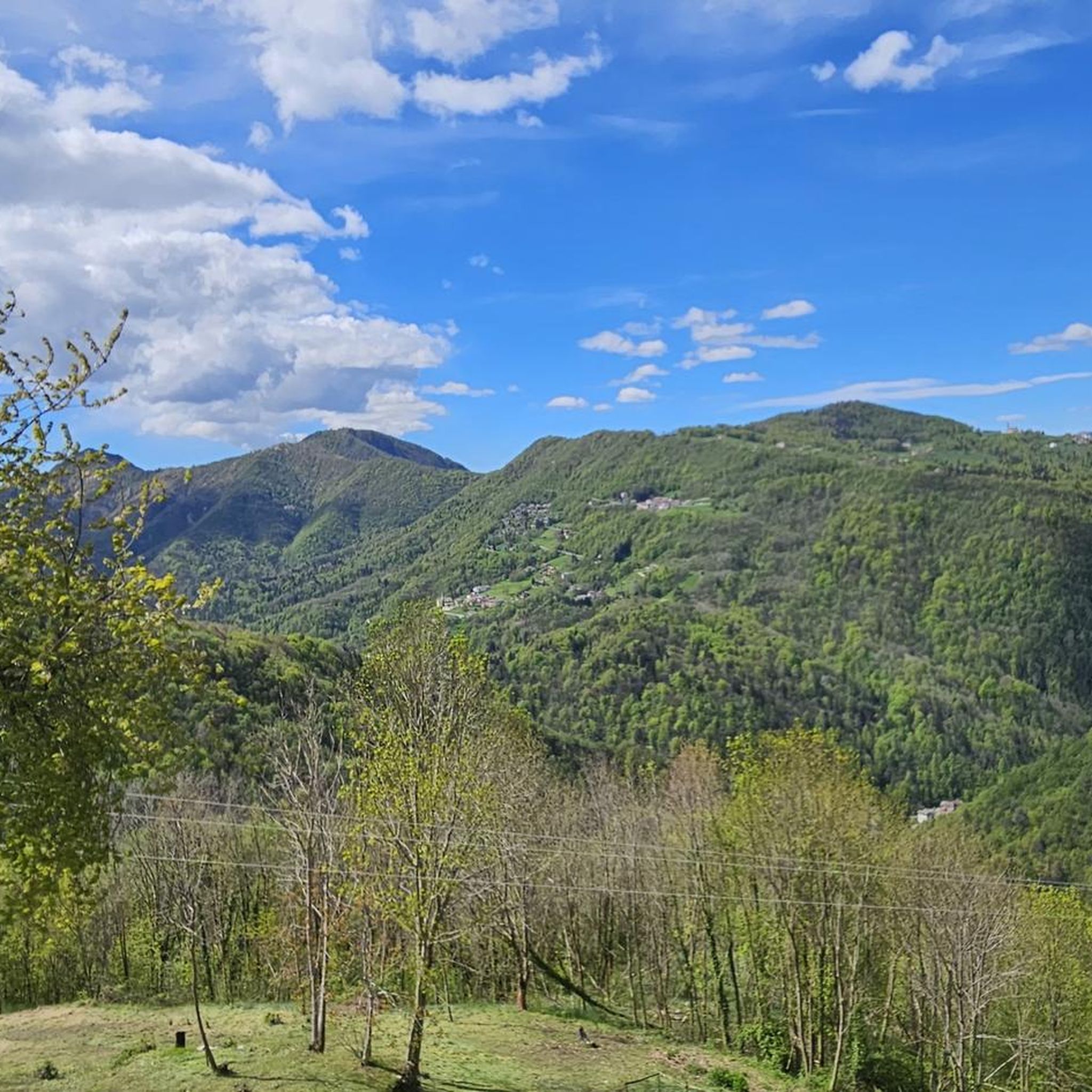
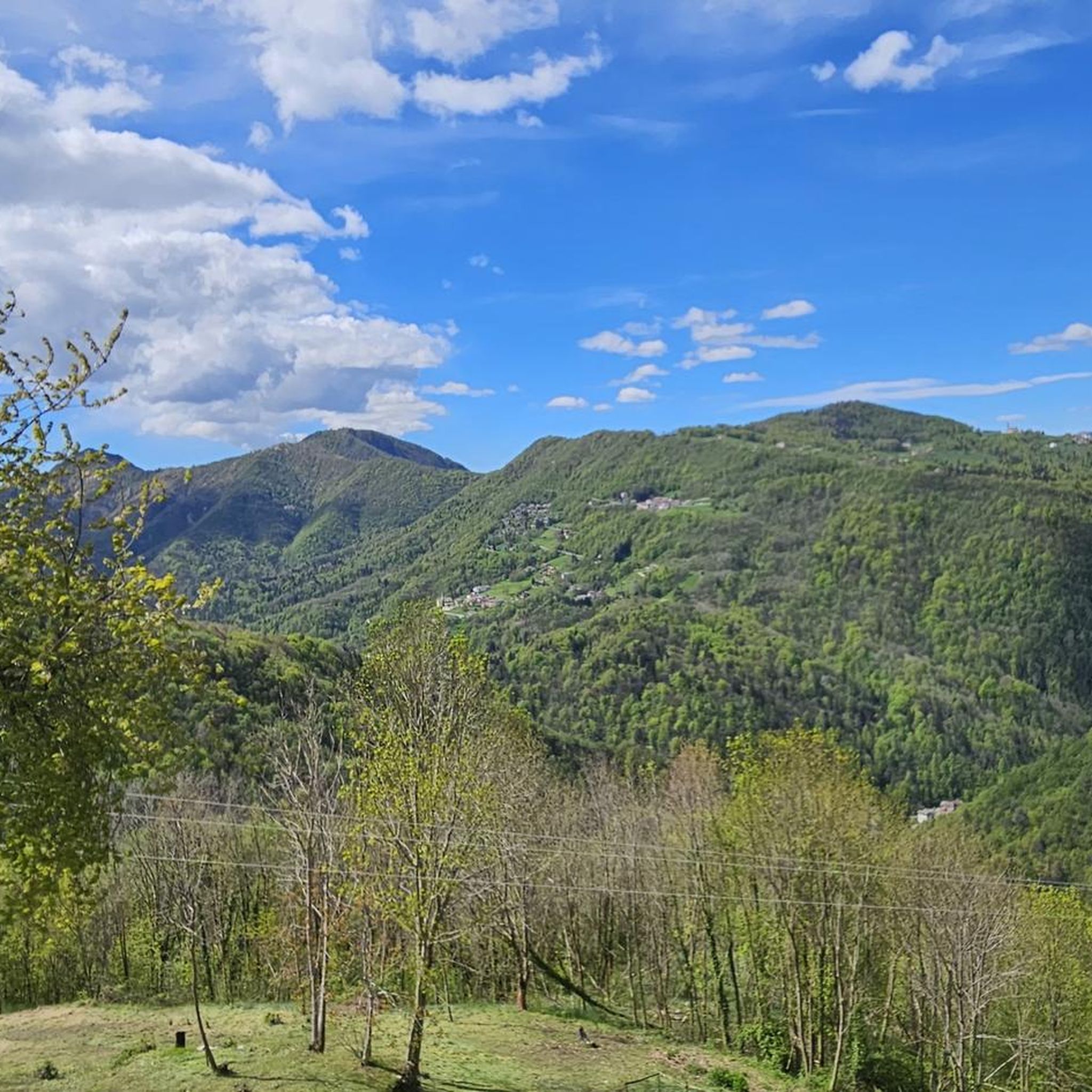
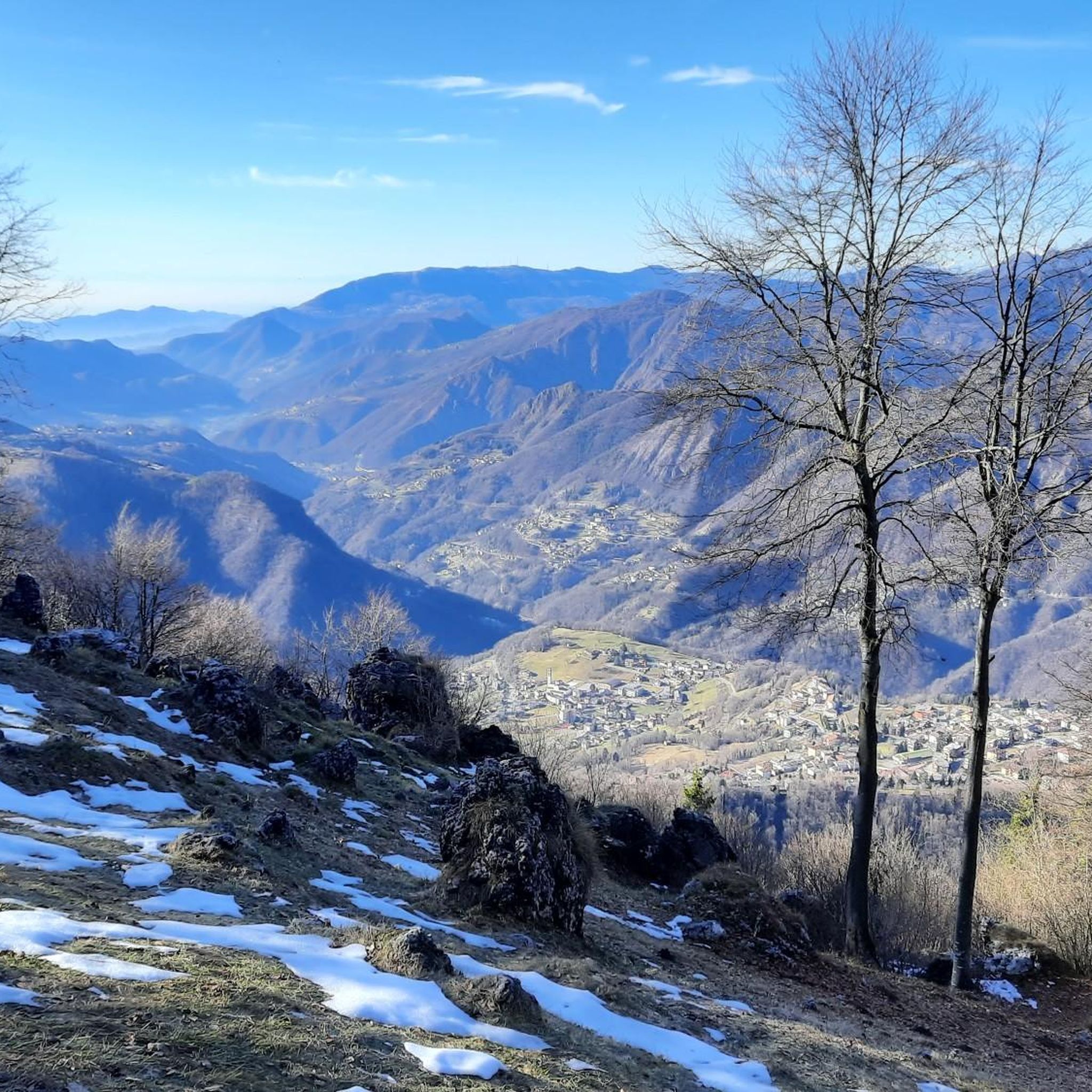
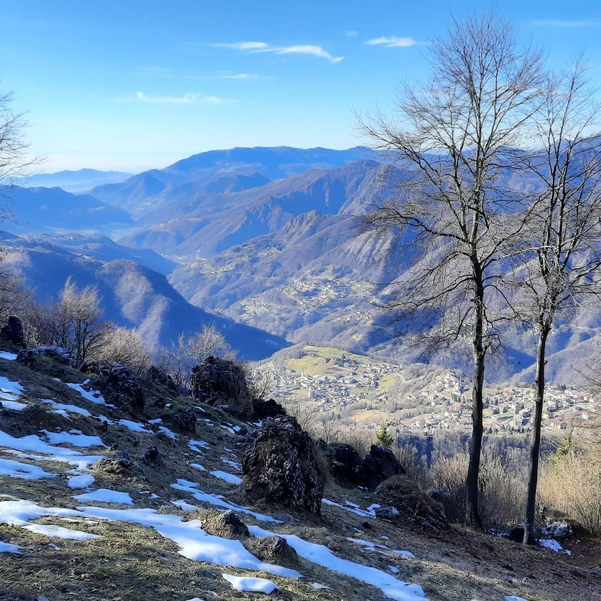
View of the Seriana valley on sultry Bergamo.
0
1
Frequently Asked Questions
How many mountaineering routes are available in Costa Serina?
The Costa Serina area offers a selection of 7 mountaineering routes, catering to various skill levels. These routes are highly regarded by the komoot community, with an average rating of 4.8 stars.
What is the best time of year for mountaineering in Costa Serina?
The best time for mountaineering in Costa Serina is typically during the warmer months, from late spring to early autumn (May to October), when trails are clear of snow and weather conditions are more stable. Winter mountaineering is possible but requires specialized gear and experience due to snow and ice conditions.
What do other mountaineers say about the routes in Costa Serina?
The mountaineering routes in Costa Serina are highly rated by the komoot community, with an average score of 4.8 stars from around 20 reviews. Mountaineers often praise the diverse alpine environment, prominent peaks, and the challenging ascents that define the region.
Are there any beginner-friendly mountaineering routes in Costa Serina?
While many routes in Costa Serina are challenging, there is one moderate mountaineering route suitable for those with some experience. Consider the Capanna 2000 Mountain Hut loop from Zambla Bassa, which is 5.3 miles (8.5 km) long and takes approximately 3 hours 52 minutes to complete.
Are there challenging routes for experienced mountaineers?
Yes, Costa Serina offers several challenging routes for experienced mountaineers. For instance, the Monte Alben Summit – Rifugio Monte Alben loop from Cornalba is a difficult 7.8-mile (12.5 km) path offering panoramic views. Another demanding option is the Cima di Menna loop from Oltre il Colle, a 6.4-mile (10.2 km) trail through high alpine terrain.
Are there any circular mountaineering routes in the area?
Yes, many of the mountaineering routes in Costa Serina are designed as loops, allowing you to return to your starting point. Examples include the Capanna 2000 Mountain Hut loop from Zambla Bassa and the Capanna 2000 Mountain Hut – Pizzo Arera (2,512 m) loop from Zambla Bassa.
Are there any notable natural features or viewpoints along the mountaineering routes?
The region is rich in natural beauty. You can find stunning viewpoints like the Canto Alto Summit and the Monte Misma Summit. The broader Val Seriana also features impressive peaks such as Pizzo di Coca and Presolana, often called the 'queen of the Orobie'.
Can I see any waterfalls while mountaineering in Costa Serina?
While specific waterfalls directly on the mountaineering routes around Costa Serina are not detailed, the broader Val Seriana, which is closely associated with the area, is home to the remarkable Serio waterfalls, recognized as the highest in Italy and the second tallest in Europe. These are a significant natural attraction in the wider region.
Are there any interesting caves to explore near Costa Serina?
Yes, there are several caves in the vicinity of Costa Serina. You can explore the Val Giongo Cave, Corno Buco Cave, and the Alabaster Cave. Additionally, the Dream Caves of San Pellegrino Terme are a notable nearby attraction.
Are there mountain refuges available for rest or food?
Yes, the region around Costa Serina, particularly within the Val Seriana and Val Brembana, is dotted with numerous mountain refuges. These provide welcoming environments for hikers and mountaineers, offering opportunities for rest, shelter, and often hearty local cuisine. The Capanna 2000 Mountain Hut is one such well-known refuge accessible via a popular loop route.
Are the mountaineering routes in Costa Serina suitable for families?
Mountaineering routes in Costa Serina are generally challenging, with 6 out of 7 routes rated as 'difficult'. While there is one 'moderate' route, families with younger children or those new to mountaineering might find these routes demanding. It's advisable to assess the specific difficulty, elevation gain, and distance of each route to determine its suitability for your family's experience level.
Are dogs allowed on the mountaineering routes in Costa Serina?
Generally, dogs are allowed on many hiking and mountaineering trails in the Italian Alps, but specific rules can vary by protected areas, refuges, or local municipalities. It's always best to check local signage or regulations for the specific route you plan to take, and ensure your dog is well-behaved and kept on a leash for their safety and that of wildlife.
Where can I find parking for mountaineering trails in Costa Serina?
Parking availability varies by trailhead. For routes starting from Zambla Bassa, such as the Capanna 2000 Mountain Hut loop, or from Cornalba for the Monte Alben Summit loop, there are typically designated parking areas. It's recommended to check the specific route details on komoot for information on parking at the starting point.
Most popular routes around Costa Serina
Most popular attractions around Costa Serina

Get inspired with the komoot mobile app


Explore more
Browse the best Mountain Hikes & Routes in other regions.
