The 20 Most Amazing Peaks around Bianzano
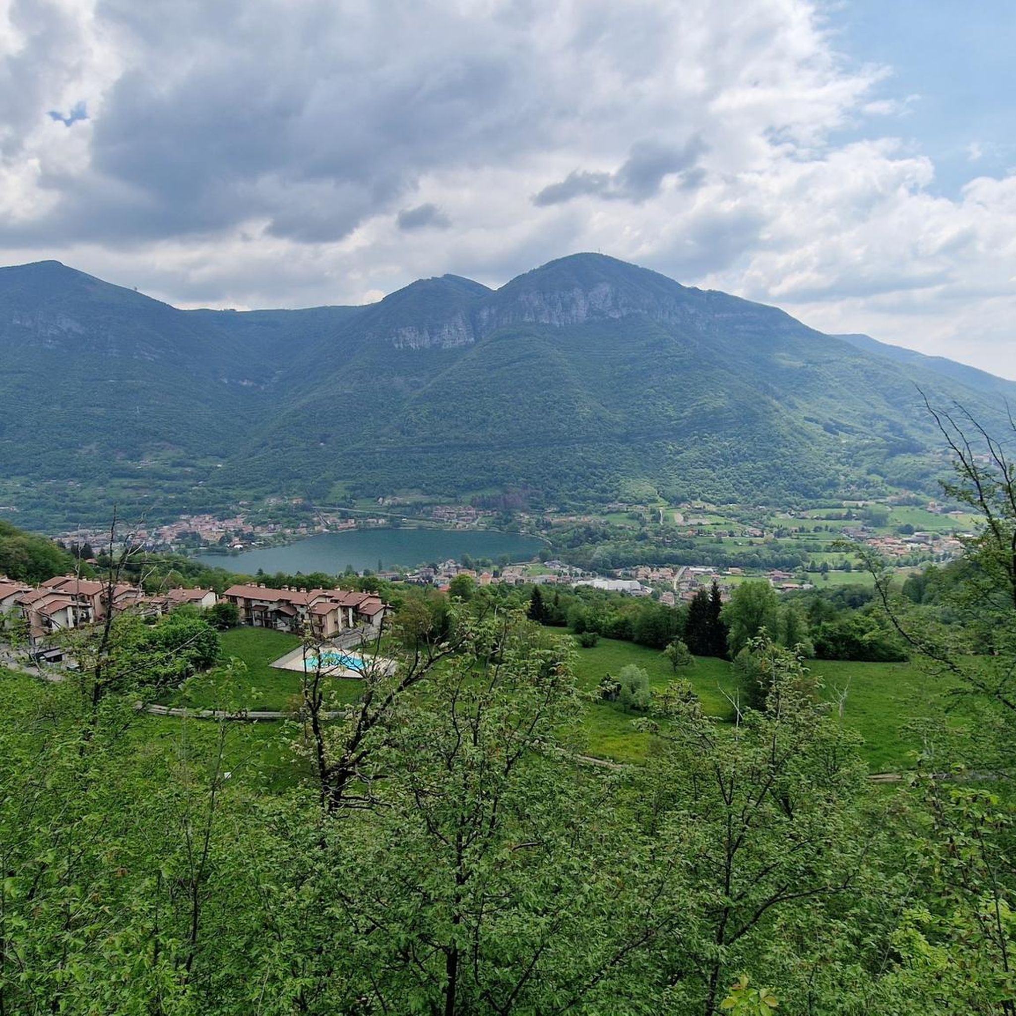
Best mountain peaks around Bianzano offers access to various elevated areas and summits. Bianzano, situated at an elevation of 600 meters, serves as a starting point for exploring the surrounding mountainous terrain. The region features a mix of accessible peaks and more challenging climbs, providing diverse outdoor experiences. These mountains offer panoramic views of Val Cavallina, Lake Endine, and the Orobie Alps.
Best mountain peaks around Bianzano
- The most popular mountain peaks is Summit of Pizzo Formico, a summit…
Last updated: August 2, 2026
Summit of Pizzo Formico
Highlight • Summit
Translated by Google •
Tip by

Monte Misma Summit
Highlight • Summit
Translated by Google •
Tip by

Sign up now to discover places like this
Get recommendations on the best single tracks, peaks, & plenty of other exciting outdoor places.
Sign up for free
Madonna of the Cyclists at Colle Gallo
Highlight • Religious Site
Translated by Google •
Tip by

Monte Sparavera
Highlight • Summit
Translated by Google •
Tip by

Summit of Monte Cornagera (Cross and Madonna Bianca)
Highlight • Summit
Translated by Google •
Tip by

Sign up for free to discover even more peaks around Bianzano.
Sign up for free
Already have an account?
Start today with a free account
Your next adventure awaits.
Login or Signup
Tips from the Community

Originally, the current Sanctuary dedicated to the "Madonna dei ciclisti" (Our Lady of Cyclists) was called "Madonna della Neve" (Our Lady of the Snow). Being a classic uphill route, also for some stages of the Giro d'Italia and Giro di Lombardia (in addition to many other minor races), it was later named so towards the end of the last century, considering that a small cycling museum was also created next to the church. To which, well-known cycling professionals donated their memorabilia.
14
0

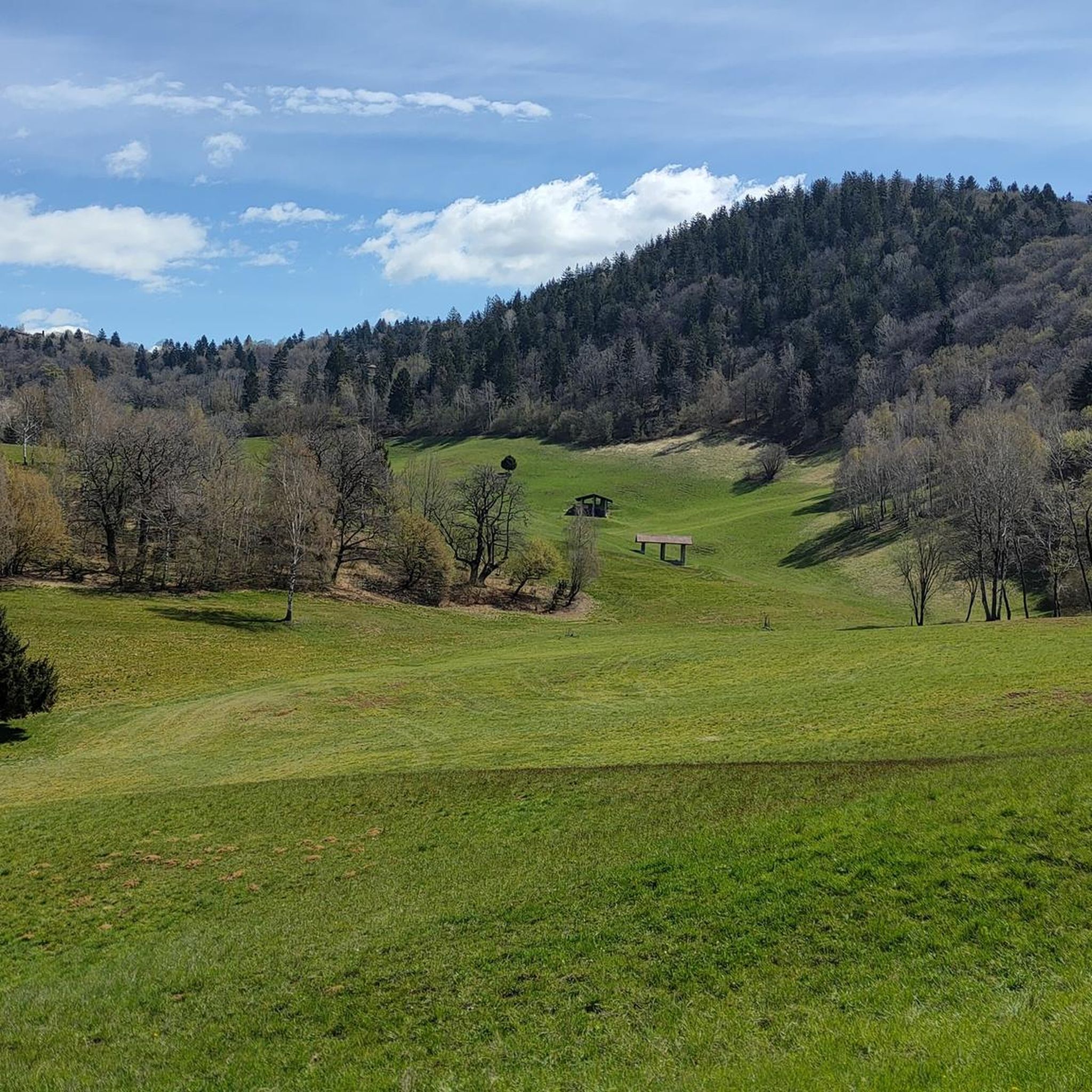
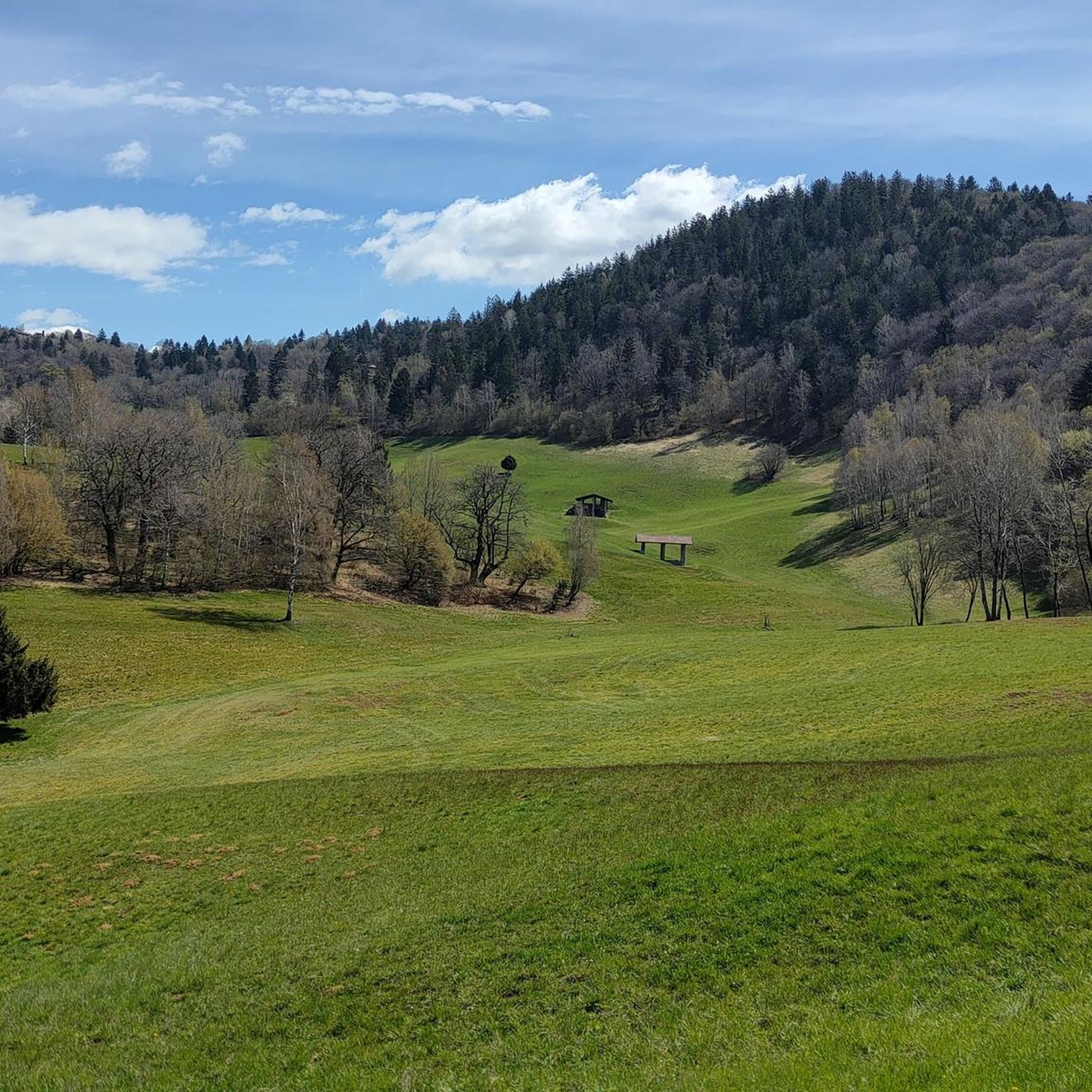
Route of a few km, medium intensity with wonderful views
0
0

Mount Cornagera is a mountain in the Bergamo Prealps, located in Val Seriana, province of Bergamo. With its 1312 meters of altitude, it is famous for its spectacular rock faces and for being a natural climbing gym. Main features: Unique rock formations: Cornagera is composed of dolomite, which over time has created pinnacles and vertical walls. Excursions and trekking: The CAI 537 path allows you to reach the summit by crossing the suggestive Cornagera Labyrinth. Buco della Carolina: A narrow crack in the rock, used as a refuge during the Second World War. Madonna Bianca: A sacred statue placed on the summit, a symbol of protection for hikers
0
0
The White Madonna on top of Cornagera is a sacred figure that is located on the summit of this mountain in the Bergamo Prealps. Cornagera, at 1311 meters, is famous for its rock faces and hiking trails.
0
0
From Pizzo Formico (1636 m) you can enjoy a spectacular view of the Bergamo Prealps, the Seriana Valley, the Gandino Valley and, on clear days, even Monviso. What you can see from the summit: Val Seriana and the Clusone plateau. Val Gandino, with its historic villages. Presolana, the "Queen of the Orobie". Lake Iseo, visible on clear days. Adamello Group, the Bergamo and Lecco Orobie. Po Valley, with glimpses of the Apennines. The summit cross, 12 meters high, is a point of reference for hikers and is illuminated on special occasions
1
0
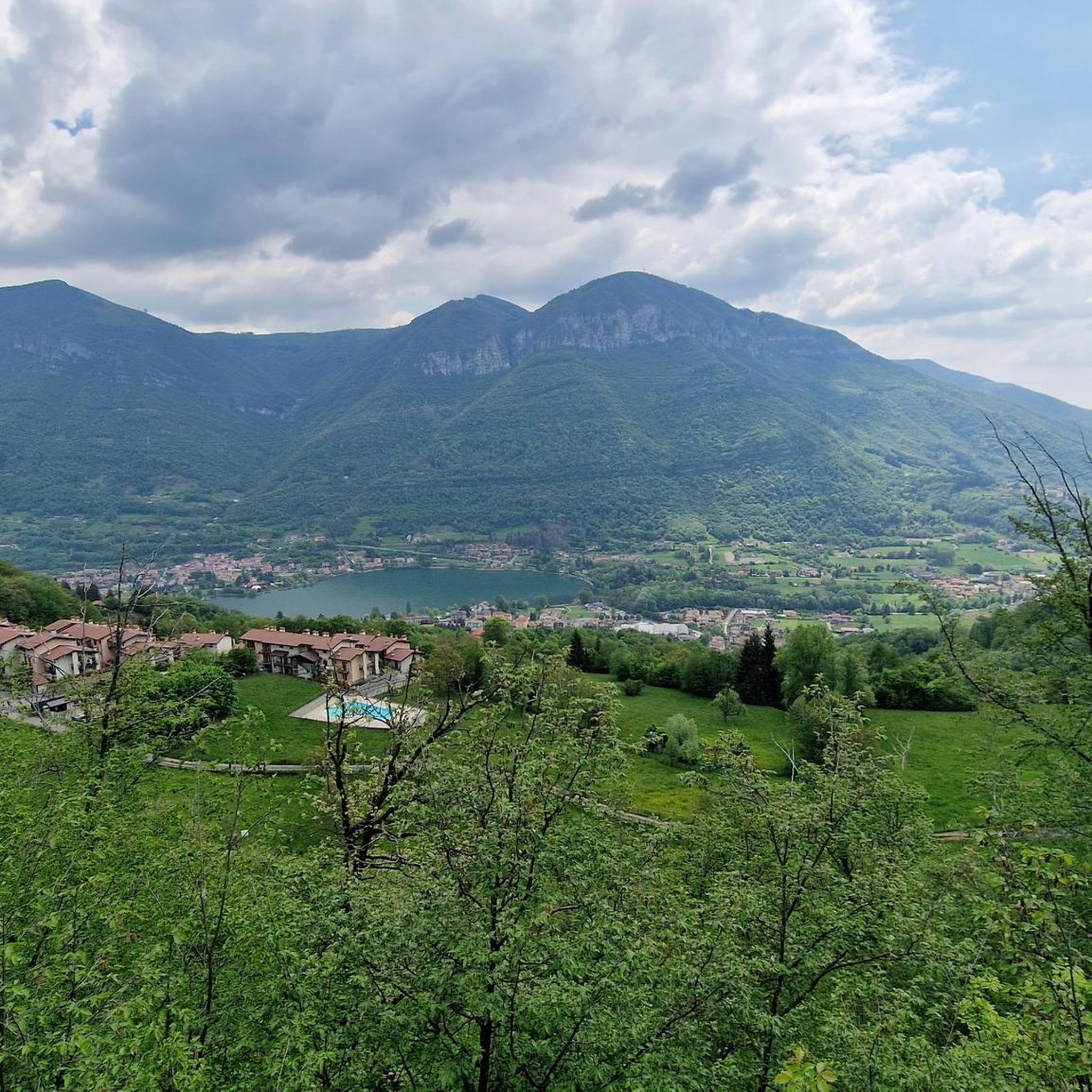
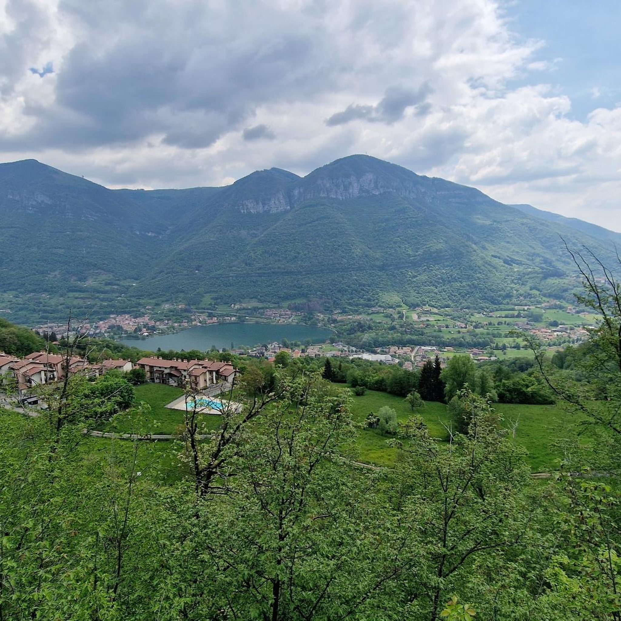
Monte Sparavera is a peak in the Bergamo Prealps, located at 1369 meters above sea level. It offers a spectacular view of Lake Endine and Val Cavallina. Recommended route Start: Gandino or Peia Trail: CAI 547 Difference in altitude: About 800 meters Duration: 4 hours (round trip) Difficulty: Hiking (E) The route passes through woods, panoramic meadows and a forest road that leads to the summit. From the summit you can admire Monte Guglielmo, Pizzo Arera, Monte Alben and Lake Iseo
1
0
Splendid 360° panorama from the summit. It can be reached either directly from the cliffs that support it, or from the mountaineering path that runs along the entire ridge from north to south.
0
5

Mandatory passage if you pass through these areas.
11
0
Frequently Asked Questions
Which mountain peaks near Bianzano offer the most rewarding views?
For exceptional panoramas, consider the Summit of Pizzo Formico, which provides expansive vistas towards the Prealps and Orobie Alps. The Monte Misma Summit is renowned for its far-reaching views towards Bergamo and the Seriana valley. Additionally, the Cross at the top of Monte Crocione offers breathtaking views of Val Cavallina and Lake Endine, and Canto Alto provides exceptional views over Bergamo and the Po Valley.
Are there family-friendly mountain walks around Bianzano?
Yes, several areas are suitable for families. Monte Canto and Monte Bastia offer easily accessible vantage points with trails through chestnut and beech forests, ideal for Sunday hikes. The meadows of Canto Alto are also popular for picnics and walks, making it suitable for families. For a specific highlight, the Monte Poieto Summit and Chapel is reachable with an easy hike, even if it takes half a day.
What kind of natural features can I expect to see on the mountain peaks near Bianzano?
The region boasts diverse natural beauty. You'll encounter mountain pastures, dense chestnut and beech forests, and rocky micro-worlds with towers and pinnacles, especially around the Summit of Monte Cornagera. Many peaks offer stunning views of Val Cavallina, Lake Endine, Lake Iseo, and the majestic Orobie Alps.
What historical or cultural sites can be found on or near these mountain peaks?
The area is rich in history. Ancient pathways from Bianzano lead to peaks like Monte Pler and Monte Crocione, offering a sense of the region's past. The Madonna of the Cyclists at Colle Gallo is a notable historical and religious site, featuring a splendid church, a cycling museum, and a winged statue. You'll also find chapels and crosses at many summits, such as the Monte Poieto Summit and Chapel and the Summit of Monte Cornagera (Cross and Madonna Bianca).
Are there challenging mountain climbs for experienced hikers near Bianzano?
Absolutely. For more experienced hikers seeking a significant climb, Monte Misma Summit (1,160 m) offers rewarding itineraries and expansive views. The Summit of Monte Cornagera is also known for its challenging ascent, recommended for those who enjoy a bit of climbing amidst its rocky formations.
What outdoor activities can I do near the mountain peaks around Bianzano?
Beyond hiking, the region offers a variety of outdoor activities. You can explore numerous mountain biking trails, such as those found in the MTB Trails around Bianzano guide, or enjoy road cycling routes, including those mentioned in the Cycling around Bianzano guide. The passes like Passo di Ganda and Ranzanico Pass are particularly popular for cycling climbs and descents.
Are there specific hiking routes or trails I should consider near Bianzano?
Yes, there are many options. Ancient pathways from Bianzano lead to Monte Pler and Monte Crocione, with a path marked 602 taking you towards Ranzanico. A circuit around Monte Pler takes approximately 3 hours and 10 minutes. For more hiking ideas, you can consult the Hiking around Bianzano guide, which includes routes like the 'Lake Endine – Lake Endine Boardwalk loop' and 'Trail 612 from Monasterolo del Castello'.
What is the best time of year to hike the mountain peaks near Bianzano?
The region is generally enjoyable for hiking from spring through autumn. Summer offers warm weather, but some rocky areas like Monte Cornagera are best avoided during the hottest months. Winter can be popular for cross-country skiers on peaks like Pizzo Formico, but conditions can be challenging with snow and mud, requiring appropriate gear and caution.
Can I find circular mountain walks or loop trails around Bianzano?
Yes, the area offers several loop options. An excursion around Monte Pler can involve a circuit that takes approximately 3 hours and 10 minutes. For more structured loop trails, the Hiking around Bianzano guide features routes like the 'Lake Endine – Lake Endine Boardwalk loop' and 'Monticelli – Pozza dei Sette Termini loop from Ranzanico'.
What do visitors enjoy most about the mountain peaks around Bianzano?
Visitors frequently praise the stunning panoramic views, especially those stretching across Val Cavallina, Lake Endine, Lake Iseo, and the Orobie Alps. The combination of historical pathways, diverse natural landscapes, and the sense of accomplishment from reaching a summit are also highly valued. The community has contributed over 210 photos and 250 upvotes to the highlights in this guide, reflecting a strong appreciation for the area's beauty and outdoor opportunities.
Are there any mountain peaks near Bianzano that are particularly accessible or offer easier routes?
Yes, Monte Canto and Monte Bastia are known for their easy accessibility and trails through pleasant forests, making them good choices for less strenuous outings. While Monte Pler and Monte Crocione involve some steep sections, they are directly accessible from Bianzano via ancient pathways, offering a moderate challenge with rewarding views.
Most popular routes around Bianzano
Most popular attractions around Bianzano

Get inspired with the komoot mobile app


Explore more
See even more amazing summits around Bianzano with these guides:
