The best walks and hikes around Gaverina Terme
4.4
(4460)
23,655
hikers
617
hikes
Hiking around Gaverina Terme, located in the Bergamo Prealps within Val Cavallina, offers diverse landscapes for outdoor activities. The region features hilly and mountainous terrain, extensive forests, and verdant meadows. Natural attractions include numerous water springs, the Valle delle Sorgenti, and waterfalls such as Val de Gru and Val Vertova. Hikers can also find routes with views of Lake Endine and Lago Moro.
Best hiking trails around Gaverina Terme
- The most popular hiking route is Valle Cavallina Tour, a…
Last updated: July 20, 2026
3.0
(1)
8
hikers
16.6km
06:22
930m
930m
Hard hike. Very good fitness required. Mostly accessible paths. Sure-footedness required.
4.0
(1)
1
hikers
6.16km
02:19
340m
350m
Moderate hike. Good fitness required. Mostly accessible paths. Sure-footedness required.

Sign up for free
4.3
(12)
53
hikers
5.23km
01:31
130m
130m
Moderate hike. Great for any fitness level. Mostly accessible paths. Sure-footedness required.
4.3
(6)
31
hikers
7.58km
02:43
330m
330m
Moderate hike. Good fitness required. Mostly accessible paths. Sure-footedness required.
5.0
(5)
15
hikers
10.7km
03:53
500m
500m
Moderate hike. Good fitness required. Mostly accessible paths. Sure-footedness required.
Get access to more routes and recommendations from other explorers.
Sign up for free
Already have an account?
Our route recommendations are based on thousands of hikes, rides, and runs completed by other people on komoot.
Start today with a free account
Your next adventure awaits.
Login or Signup
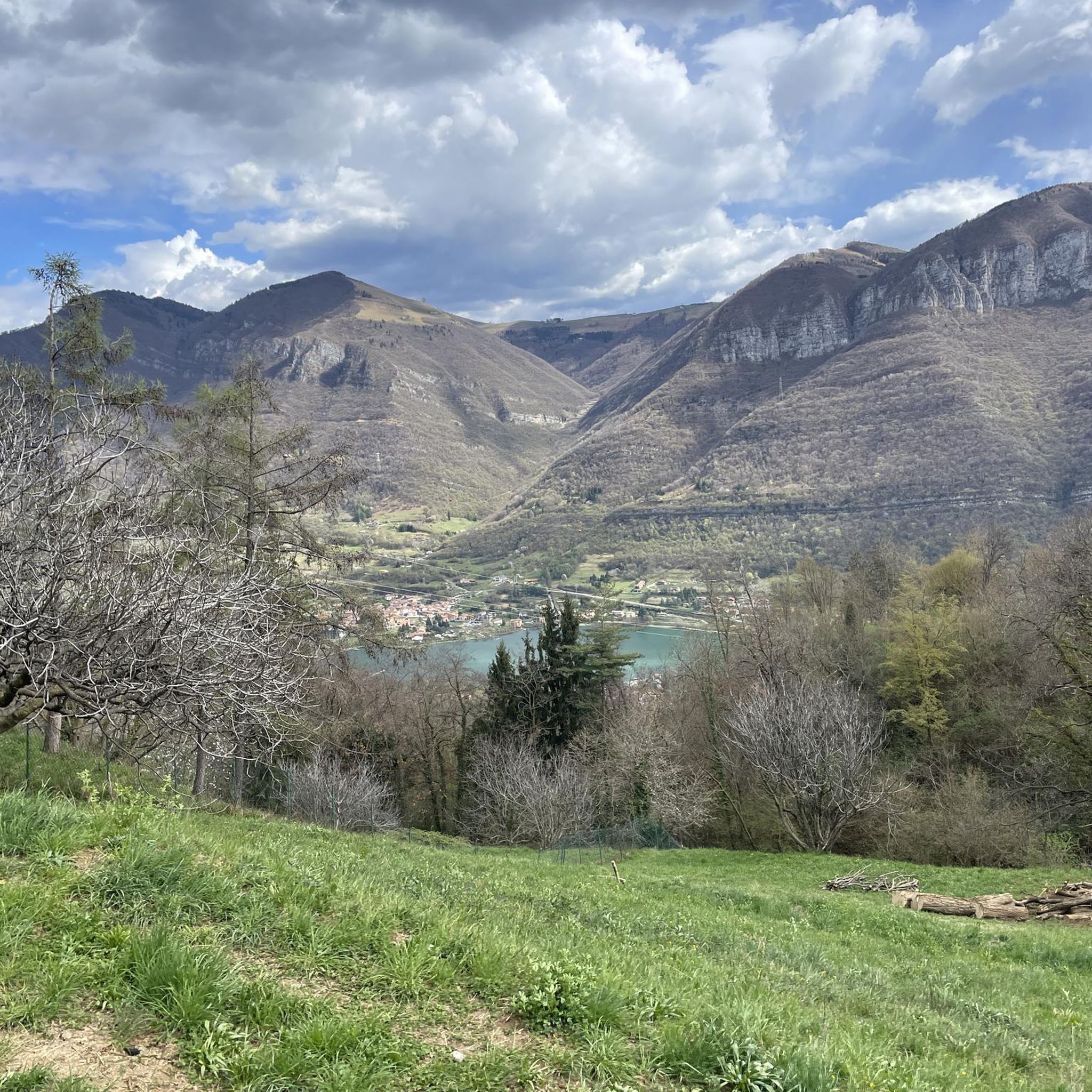
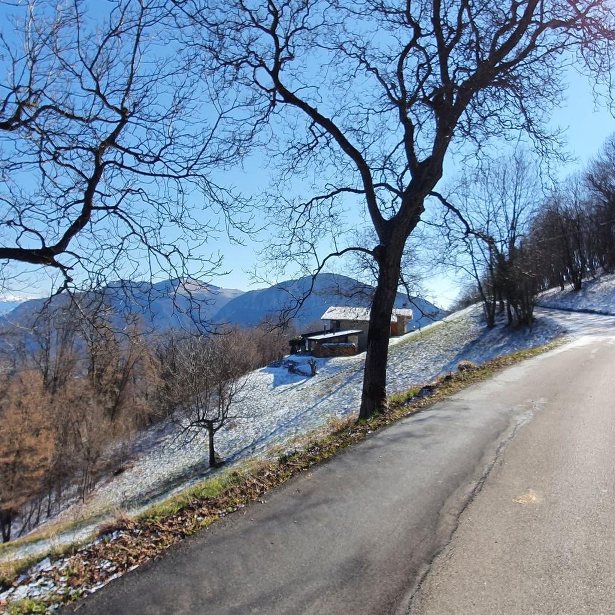
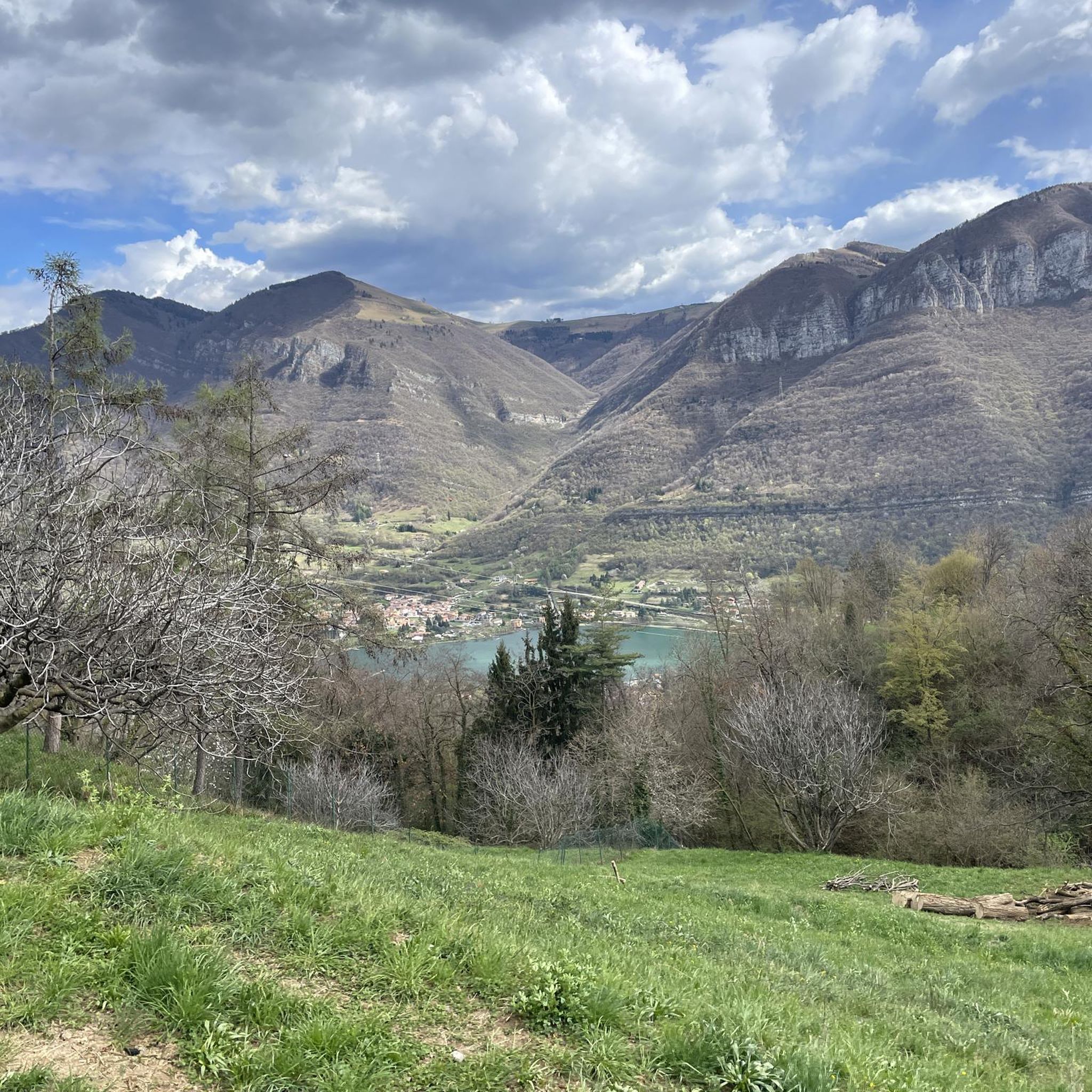
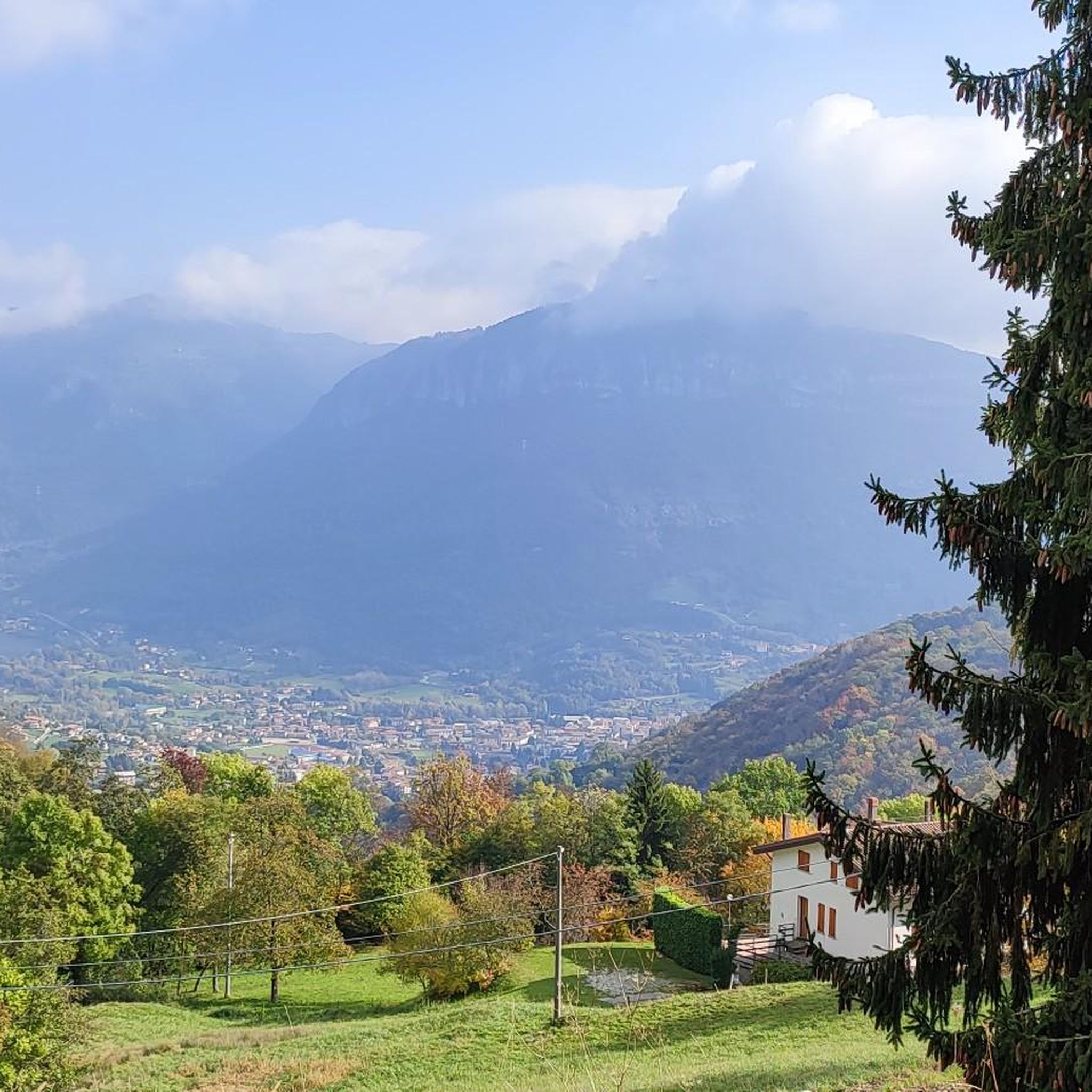
Tips from the Community

Originally, the current Sanctuary dedicated to the "Madonna dei ciclisti" (Our Lady of Cyclists) was called "Madonna della Neve" (Our Lady of the Snow). Being a classic uphill route, also for some stages of the Giro d'Italia and Giro di Lombardia (in addition to many other minor races), it was later named so towards the end of the last century, considering that a small cycling museum was also created next to the church. To which, well-known cycling professionals donated their memorabilia.
12
0

The effort for this climb is rewarded by this magical place, the sanctuary of Altino, where you can eat well and drink better. You need good legs after the halfway point with a double-digit gradient.
0
0

Cesulì is a mountain pass located at 922 meters above sea level in Val Cavallina, near Monte Pranzà, in the municipality of Vigano San Martino. It is known for its 18th-century chapel, which has a small bell tower and offers a spectacular view of Lake Endine2. Excursion to Cesulì Altitude: 922 meters Route: Trail 622, starting from Vigano San Martino Difficulty: Hiking (E) Ascent time: About 1 hour and 30 minutes Panoramic points: Lake Endine, Monte Pranzà, Val Cavallina Curiosity The chapel was restored by the Alpine troops of Val Cavallina. The path passes through beech and chestnut woods, offering an excursion immersed in nature. It is a reference point for hikers who want to reach Monte Pranzà
1
0
The Anticima del Monte Pranzà is a rock formation located along the crest of Monte Pranzà, in the Bergamo Prealps, specifically in the municipality of Vigano San Martino, in Val Cavallina. Characteristics of the Anticima Altitude: About 1070 meters Location: Along the crest of Monte Pranzà, overlooking Val Cavallina and Valle del Lujo. Signage: Trails 622 and 622A, well marked with directional arrows. Panoramic point: Offers a spectacular view of Lake Endine and the surrounding mountains, including Presolana and Pizzo Camino. Excursion to the Anticima Route: Departure from Vigano San Martino, following Trail 622. Difficulty: Hiking (E), with steep sections in the woods. Climbing time: About 2 hours. Points of interest: Cappella del Cesulì (922 m), Cascina Flaccadori (1030 m) and a hunting roccolo. Curiosities The Anticima is marked by a large man made of stones, surmounted by a metal cross, which could seem like the main peak, but in reality it is only an intermediate point. The route offers a mix of ash and black hornbeam woods, as well as open panoramic stretches
0
0
On Mount Pranzà, located in the Bergamo Prealps, there is a panoramic area with wooden deckchairs, perfect for relaxing and enjoying the landscape. This place is often visited by hikers who walk the trails in the area, offering a regenerating break immersed in nature. Excursion to Mount Pranzà Altitude: 1095 meters Route: Departure from the Church of the Madonna del Mirabile or from Luzzana Difficulty: Hiking (E) Climb time: About 2 hours Panoramic points: View of the Val Cavallina and the Valle del Lujo
0
0

beautiful mystical destination for a circular tour around Mount Altino
0
0
crossroads with many paths including: Monte Pranzà peak, Misma, Vigano San Martino, Casale
0
0
Nice viewpoint of a little known peak. The wooden deckchair is also very comfortable!
0
0
Frequently Asked Questions
How many hiking trails are available around Gaverina Terme?
Gaverina Terme offers a wide network of over 600 hiking routes. These trails cater to various skill levels, from easy walks to more challenging excursions through the diverse landscapes of the Bergamo Prealps.
Are there hiking options suitable for beginners or families in Gaverina Terme?
Yes, Gaverina Terme provides numerous options for beginners and families. There are over 100 easy trails available, offering gentle paths through serene woodlands and meadows. For example, the Cherio River – Biali Park loop from Casazza is an easy route with minimal elevation gain, perfect for a relaxed outing.
What are the general characteristics of the hiking trails in Gaverina Terme?
The hiking trails in Gaverina Terme are characterized by diverse landscapes, including hilly and mountainous terrain, lush forests, and verdant meadows. Many routes offer breathtaking panoramic views of Val Cavallina, Lake Endine, and prominent mountains. The region is also known for its water features, such as springs and waterfalls.
What do other hikers enjoy most about the trails in Gaverina Terme?
The trails around Gaverina Terme are highly rated by the komoot community, with an average score of 4.4 stars from over 3,900 reviews. Hikers frequently praise the stunning panoramic views, the peaceful atmosphere of the forests, and the variety of routes suitable for different abilities.
Are there any trails that feature waterfalls in the Gaverina Terme area?
Yes, the region is home to impressive waterfalls. You can explore the Val de Gru Waterfall and the Val Vertova Waterfalls, which are part of scenic paths featuring potholes and fords, particularly beautiful during summer months.
Can I find trails with scenic lake views around Gaverina Terme?
Absolutely. Many trails offer expansive views of Lake Endine, and the itinerary towards Lago Moro is particularly noted for its unique flora and fauna, culminating in the crystalline beauty of the lake itself, surrounded by green meadows.
Which trails offer the best panoramic views in Gaverina Terme?
For stunning panoramic views, consider routes that ascend to higher points. The excursion to Monte Bronzone is known for magnificent valley views. Other vantage points, such as the Cima del Monte Pranzà – Prati Alti loop from Gaverina Terme, offer expansive vistas of Lake Endine, Val Cavallina, and distant peaks like Monte Pranzà, Presolana, and Pizzo Camino. The area around Colle Gallo also provides wide views towards Lake Endine.
Are there any circular walks available in Gaverina Terme?
Yes, there are many circular walks to enjoy. A popular option is the Cima del Monte Pranzà – Prati Alti loop from Gaverina Terme, which takes you through forests and offers panoramic views. Another is the Panoramic Hut – Altino Sanctuary loop from Vall'Alta, a moderate route that explores the local landscape.
What cultural or historical landmarks can I encounter on hikes in Gaverina Terme?
Beyond natural beauty, you can discover several cultural and historical points of interest. The Madonna of the Cyclists at Colle Gallo is a significant landmark. The town itself has historical churches, such as the 17th-century Church of San Rocco and the Baroque Church of the Vergine Addolorata, which can be reached via a peaceful valley walk from Trate.
Are there any dog-friendly trails in Gaverina Terme?
Many trails in Gaverina Terme are suitable for hiking with dogs, especially those through forests and meadows. It's always recommended to keep your dog on a leash, particularly in areas with wildlife or near livestock, and to check local regulations for specific routes.
What is the best time of year to go hiking in Gaverina Terme?
Gaverina Terme offers hiking opportunities throughout much of the year. Spring and autumn provide pleasant temperatures and vibrant scenery with blooming flowers or colorful foliage. Summer is ideal for exploring routes with water features like waterfalls. While winter hiking is possible, higher elevation trails may require appropriate gear due to snow.
Are there any trails that explore the region's famous water springs?
Yes, the region is renowned for its water springs. You can explore the Valle delle Sorgenti (Valley of the Springs), which includes the BioParco. This area offers naturalistic itineraries through its woods and meadows, highlighting the natural water sources that give the town its 'Terme' designation.
Most popular routes around Gaverina Terme
Most popular attractions around Gaverina Terme

Get inspired with the komoot mobile app


Explore more
Browse the best Hikes in other regions.
