The best walks and hikes around Ranica
4.2
(324)
2,825
hikers
38
hikes
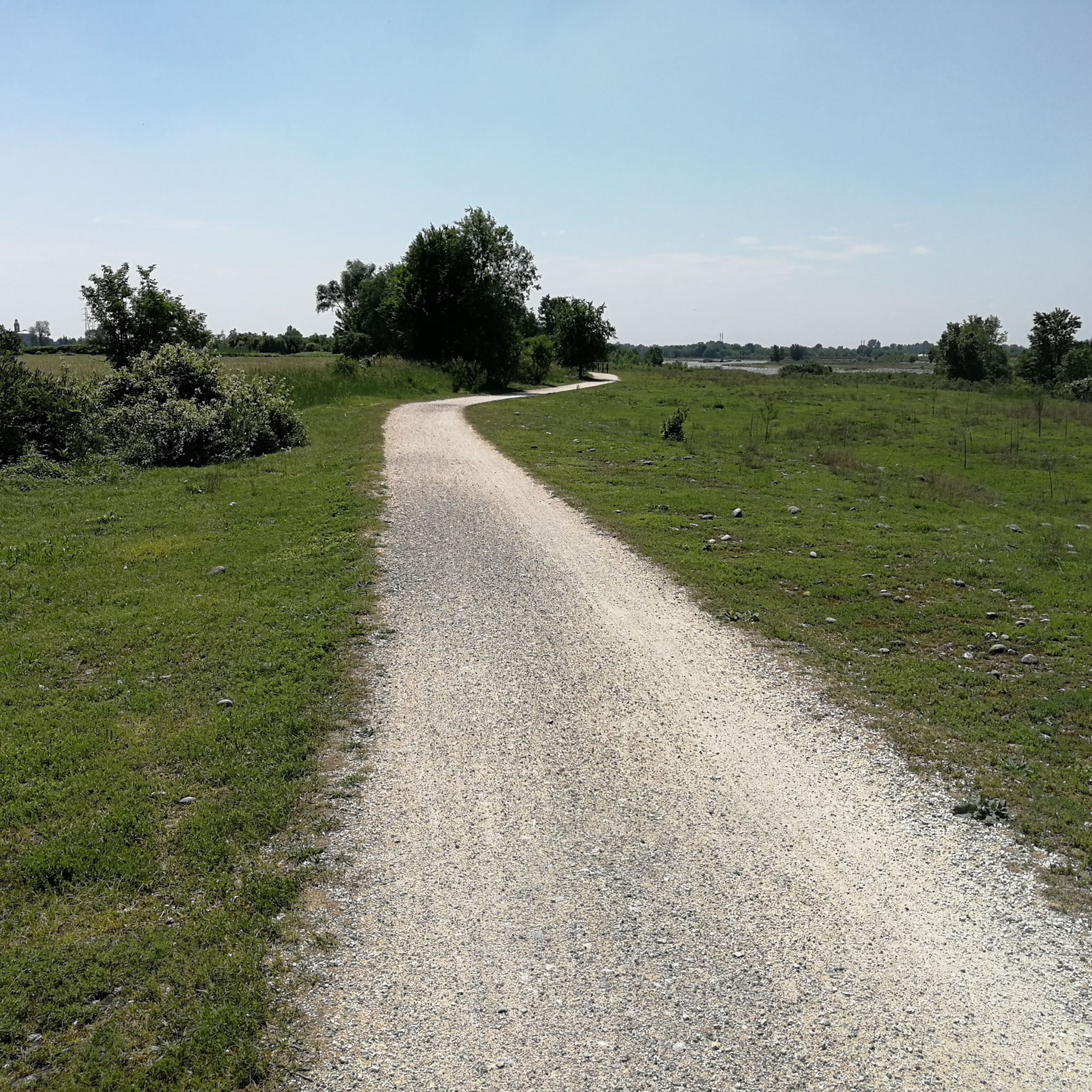
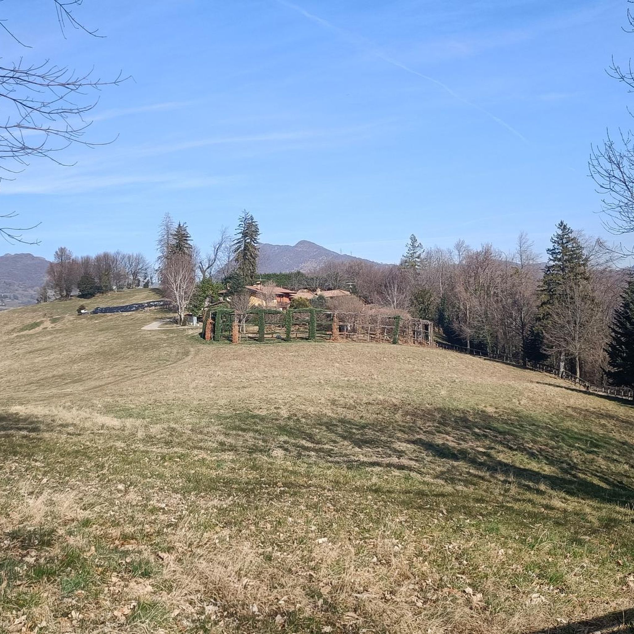
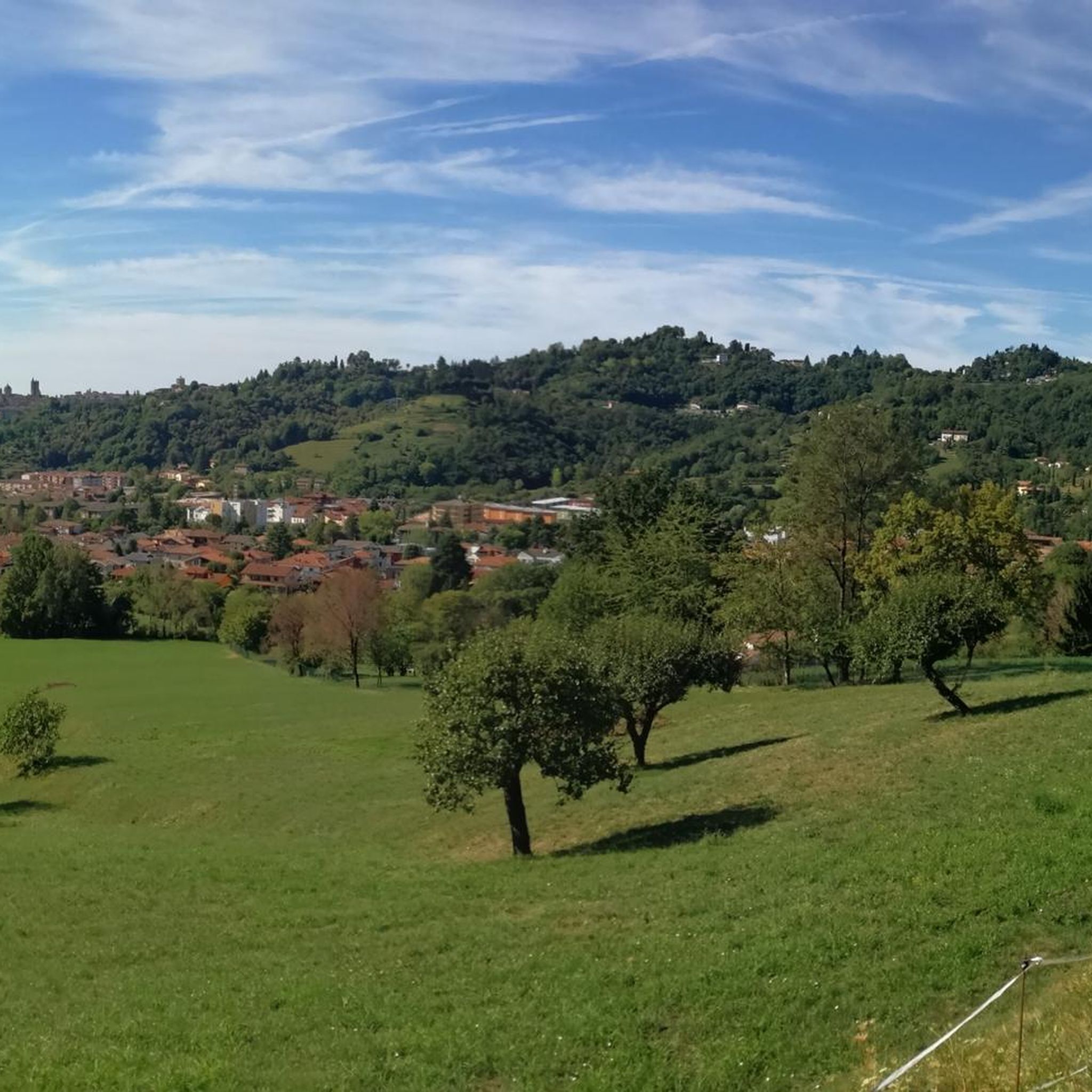
Hiking around Ranica offers a diverse landscape characterized by rolling hills, canal-side paths, and forested areas. The region features varied elevation changes, from gentle riverside strolls to more significant ascents leading to panoramic viewpoints. Trails often traverse agricultural land and connect small villages in the Bergamo province, providing a mix of natural and cultural exploration.
Best hiking trails around Ranica
- The most popular hiking route is Alta Via delle Grazie - Stage 1, a 13.4 miles (21.5 km) trail…
Last updated: October 10, 2026
3.5
(2)
7
hikers
21.5km
07:08
930m
930m
Hike the difficult Alta Via delle Grazie - Stage 1, a 13.4-mile route with 3041 feet of gain through the Orobic Prealps, taking 7 hours.
4.1
(16)
95
hikers
11.3km
03:35
450m
450m
Moderate hike. Good fitness required. Easily-accessible paths. Suitable for all skill levels.

4.4
(5)
35
hikers
Moderate hike. Good fitness required. Mostly accessible paths. Sure-footedness required.
4.6
(5)
26
hikers
7.68km
02:10
150m
170m
Moderate hike. Good fitness required. Easily-accessible paths. Suitable for all skill levels.
4.0
(1)
20
hikers
13.1km
04:07
460m
460m
Moderate hike. Good fitness required. Mostly accessible paths. Sure-footedness required.
Get access to more routes and recommendations from other explorers.
Already have an account?
Our route recommendations are based on thousands of hikes, rides, and runs completed by other people on komoot.
Start today with a free account
Your next adventure awaits.

Tips from the Community

You can easily get there by car, there are various simple and shaded paths in the woods, various meadows and tables for relaxing, a water fountain, a small playground for older children, excellent views of Bergamo, an excellent restaurant. For those who want to walk, it is possible to reach 4 croci by completing a loop of about 6 km and 300 meters of elevation gain. Perfect place for families. I don't think anything else needs to be added, have a nice day!
0
0

recently renovated, nice relaxation area
0
0

pleasant hike without too much effort, very scenic..with many roccoli for hunting and with a welcome Mass with many hikers on Mount Boscone in front of the Cross.
0
0

Viewpoint overlooking Olera (BG) 674 meters above sea level
0
0

Today colle di ranica Colle di Ranica is a mountain located in the Parco dei Colli di Bergamo, in Lombardy. With an altitude of 726 meters, it is the highest peak of the Maresana group. It is a popular destination for hikers thanks to its trails immersed in the woods and the suggestive views of the Val Seriana and the Bergamo plain2. There are several routes to reach the summit, including the CAI trail 532, which starts from the small church of San Rocco in Ranica and winds through the woods. Another option is trail 606, which passes by the Croce del Boscone and offers a panoramic view of the area. If you are planning a hike, you can find more details on Komoot and other online guides1. Would you like to know more about a specific route? 😊 croce del boscone Croce del Boscone is a panoramic point located above Torre Boldone, in the province of Bergamo. It is easily accessible via hiking trails that start from various locations, including Maresana and Colle di Ranica. The cross dominates the valley and offers a spectacular view of the Bergamo plain. The route to reach it is suitable for everyone, including children, and is ideal for a relaxing walk immersed in nature. Furthermore, during Atalanta matches, you can even hear the stadium chants, making the experience even more unique2. If you want to plan a hike, you can find more details about the trails available on Komoot and other online guides. Would you like to know more about a specific route? 😊 pozza del colle Pozza del Colle is a reference point along trail 532, which connects San Rocco di Ranica to Lonno di Nembro. It is located in the woods of Colle di Ranica, and is a passage area for hikers and bikers. The trail that runs alongside Pozza del Colle is ideal for those looking for a quiet hike, with flat stretches and some panoramic points. If you want to explore the area, you can follow trail 532, which passes through chestnut and oak woods and leads to Cà del Latte, another point of interest along the route. If you are interested in a circular tour, you can start from Colle di Ranica, go down towards Pozza del Colle and then continue along the trail until you return to the starting point
0
0
panoramic point above Olera
0
0
Cà del Lacc is a hiking landmark located near Ponteranica, in the province of Bergamo. The name comes from the Bergamo dialect and means "House of Milk", probably linked to an ancient dairy production activity. It is a crossroads of paths that connect several locations, including Colle di Ranica, Canto Alto, Olera and Lonno. The route is immersed in the woods and offers beautiful views of the valley. It is a popular destination for hikers and nature lovers, with well-marked trails suitable for different levels of experience
0
0
Croce dei Morti is a landmark along trail 606, located in the Parco dei Colli di Bergamo. This trail connects several locations, including Torre Boldone and Colle di Ranica, offering splendid views of the Val Seriana and the Bergamo plain. The name "Croce dei Morti" may derive from historical events related to the area, but today it is mainly a point of passage for hikers and nature lovers. The trail is easy and accessible, with a length of about 2.9 km and a difference in altitude of 42 meters. If you want to explore the area, you can start from the trattoria in the Croce dei Morti area and follow the trail towards Colle di Ranica, passing by Croce del Boscone. It is a perfect excursion for a relaxing walk surrounded by greenery! 😊
0
0
Frequently Asked Questions
What kind of terrain can I expect when hiking around Ranica?
Hiking around Ranica features a diverse landscape of rolling hills, canal-side paths, and forested areas. You'll find varied elevation changes, from gentle riverside strolls to more significant ascents leading to panoramic viewpoints. Trails often traverse agricultural land and connect small villages in the Bergamo province, offering a mix of natural and cultural exploration.
Are there easy hiking options suitable for beginners or casual walkers in Ranica?
Yes, Ranica offers several easy hiking options. For instance, the Serio Grande Canal – Villa Baldini loop from Scanzorosciate is an easy 3.1-mile (4.9 km) route with minimal elevation gain, perfect for a relaxed walk along the canal.
How many hiking trails are available in the Ranica area?
There are over 40 hiking trails documented in the Ranica area, catering to various skill levels from easy walks to more challenging ascents. The komoot community has explored over 2,900 of these routes.
Are there any circular hiking routes around Ranica?
Yes, many routes in Ranica are circular. An example is the Croce dei Morti Chapel – Colle di Ranica Cross loop from Alzano Lombardo, a moderate 6.2-mile (10.0 km) path that winds through local hills. Another is the Croce del Boscone Viewpoint – Mondi Trail Junction loop from Ranica, which leads through forested areas to a viewpoint.
What are some notable natural features or landmarks to see on hikes in Ranica?
The Ranica area is rich in natural beauty and points of interest. You can explore several waterfalls, such as the Waterfall at the Romanesque Bridge of Albino, Buche di Nese Waterfalls, and Honegger Waterfall. For panoramic views, consider routes that lead to summits like Canto Alto Summit or Monte Misma Summit.
Are there any trails that offer scenic viewpoints in Ranica?
Absolutely. Many trails in Ranica lead to rewarding viewpoints. The Croce del Boscone Viewpoint – Mondi Trail Junction loop from Ranica is specifically designed to take you to a scenic overlook. Additionally, routes ascending to peaks like Canto Alto Summit provide extensive panoramic views of the surrounding countryside.
What do other hikers say about the trails in Ranica?
The trails in Ranica are highly rated by the komoot community, with an average score of 4.3 stars from over 300 reviews. Hikers often praise the varied terrain, well-marked paths, and the blend of natural scenery with charming village connections.
Are there any challenging hikes for experienced trekkers in Ranica?
Yes, for experienced trekkers seeking a challenge, Ranica offers more difficult routes. The Alta Via delle Grazie - Stage 1 is a difficult 13.4-mile (21.5 km) trail featuring significant elevation gain and panoramic views, typically taking over 7 hours to complete.
Can I find trails that pass by historical or religious sites?
Yes, some routes incorporate historical or religious landmarks. For example, the Croce dei Morti Chapel – Colle di Ranica Cross loop from Alzano Lombardo passes by the Croce dei Morti Chapel, offering a cultural element to your hike.
Are there any trails suitable for families with children?
While specific 'family-friendly' designations aren't always explicit, the easy trails with minimal elevation, such as the Serio Grande Canal – Villa Baldini loop from Scanzorosciate, would be suitable for families looking for a gentle walk. These paths often follow canals or traverse agricultural land, providing a pleasant and accessible experience.
What is the typical duration for a moderate hike in Ranica?
Moderate hikes in Ranica can vary in duration depending on the distance and elevation. For example, the Colle di Ranica Cross – Fontanella al Pighet loop from Alzano Lombardo, a 4.8-mile (7.7 km) moderate route, typically takes around 2 hours 40 minutes to complete.
Most popular routes around Ranica
Most popular attractions around Ranica

Get inspired with the komoot mobile app


Explore more
Browse the best Hikes in other regions.
