The best walks and hikes around Cenate Sotto
4.3
(2863)
16,178
hikers
11
hikes
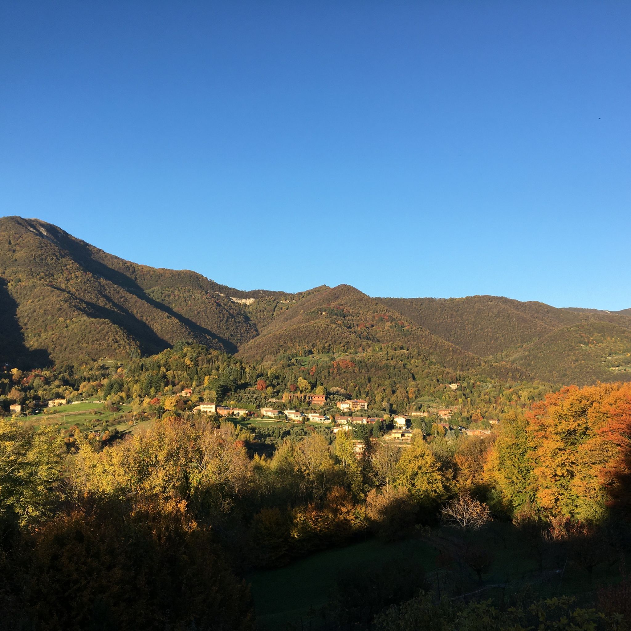
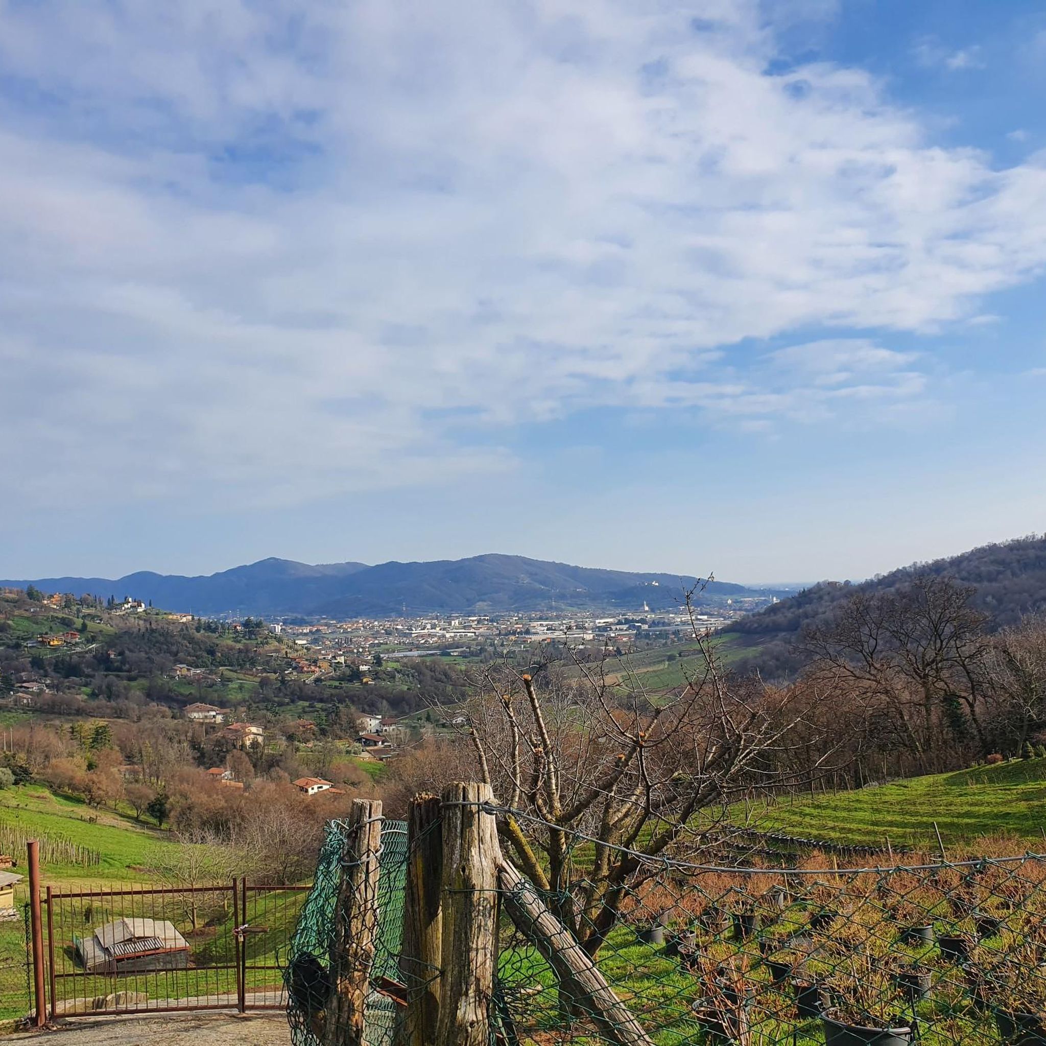
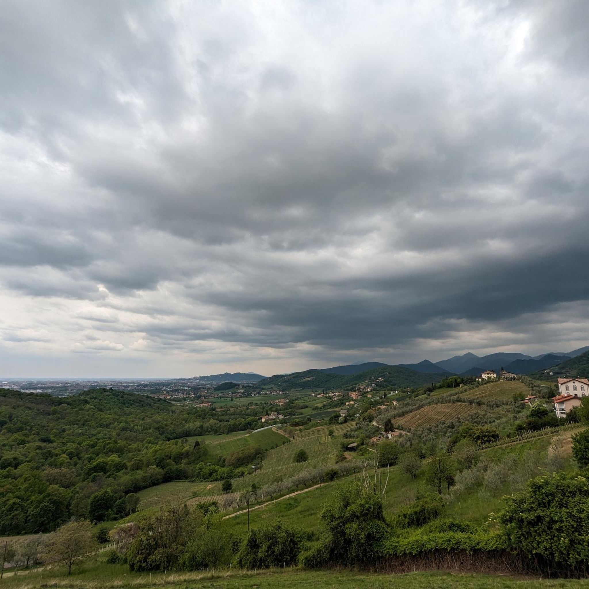
Hiking around Cenate Sotto offers diverse landscapes, characterized by hilly terrain at the foot of Monte Misma and the entrance to Val Cavallina. The area features partially wooded sections and cultivated lands with vineyards and orchards, creating varied scenery for exploration. Hikers can find trails ranging from gentle paths through agricultural areas to ascents through woodlands, often leading to panoramic views. The region also includes the expansive Parco delle Valli d'Argon, providing further natural exploration opportunities.
Best hiking trails around…
Last updated: November 8, 2026
5.0
(5)
38
hikers
Moderate hike. Mostly walkable paths. Sure-footedness required.
4.2
(5)
37
hikers
5.08km
01:19
30m
30m
Easy hike. Easily walkable paths.

4.5
(2)
12
hikers
8.11km
02:08
70m
70m
Moderate hike. Good fitness required. Easily walkable paths.
4.0
(2)
15
hikers
Easy hike. Easily walkable paths.
4.3
(4)
17
hikers
13.3km
03:39
210m
210m
Moderate hike. Good fitness required. Easily walkable paths.
Get access to more routes and recommendations from other explorers.
Already have an account?
Our route recommendations are based on thousands of hikes, rides, and runs completed by other people on komoot.
Start today with a free account
Your next adventure awaits.

Tips from the Community


This small church is located near Mount Argon, at the beginning of Val Cavallina. It was built starting in 1121, the current facade was completed in the 17th century and is in Romanesque style. The frescoes inside have been attributed - although there remains a certain degree of uncertainty - to the 17th century artist from Bergamo Pietro Baschenis.
0
1
Between Torre de' Roveri and Cenate Sotto, in the Cerbello area, you have a splendid view of the surrounding vineyards. In a landscape that almost resembles that of Valdobbiadene, in the Treviso area, you can cycle without significant traffic.
0
0

Lawn with table for a break
0
0

Nice easy dirt roads. Too many dogs not on a leash on Sundays 😡
0
0
After a very hard climb, there is nothing better than a beautiful panorama, like the one from Via Loreto, overlooking Cenate Sopra.
0
0

The ascent of my childhood: unforgettable!
0
0
Frequently Asked Questions
How many hiking trails are available around Cenate Sotto?
There are over 680 hiking trails around Cenate Sotto, offering a wide variety of options for different preferences and fitness levels. The komoot community has explored these routes over 15,000 times.
What kind of terrain can I expect on hikes in Cenate Sotto?
Hiking around Cenate Sotto features diverse landscapes, including forest paths and trails winding through vineyards. The region is characterized by hilly terrain, offering varied elevation gains and scenic views. You'll find a mix of accessible paths and routes requiring more sure-footedness.
Are there any easy hiking trails suitable for beginners in Cenate Sotto?
Yes, Cenate Sotto offers many easy trails perfect for beginners or those looking for a relaxed walk. For example, the CAI Trail 610: Trescore Balneario - Pizzo Casgnola is an easy 3.8-mile route that connects various points of interest.
Can I find circular hiking routes in Cenate Sotto?
Yes, many trails in Cenate Sotto are designed as loops, allowing you to start and end at the same point. A popular moderate option is the Picnic Table With a View – Hermitage of Santa Maria in Argon loop from San Paolo d'Argon, which offers panoramic viewpoints.
What historical landmarks or attractions can I see while hiking in Cenate Sotto?
Hiking trails in Cenate Sotto often feature historical elements such as castles and charming villages. You might encounter structures like the Rocca di Brusaporto or visit secluded religious sites like the Hermitage of Santa Maria in Argon. The Hermitage of Santa Maria in Argon – View from Monte San Giorgio loop from San Paolo d'Argon is a great route to explore such sites.
Are there any scenic viewpoints along the hiking trails?
Absolutely. Several routes are known for their rewarding vistas and scenic overlooks. The Picnic Table With a View loop from Negrone is specifically highlighted for its panoramic views, often featuring picnic tables to enjoy the scenery.
Are there any waterfalls or significant water features near Cenate Sotto?
While not directly within Cenate Sotto, the broader Bergamo area features natural attractions like the Sambuzza Valley Waterfall and the Barbellino Reservoir. Closer by, you can explore highlights such as the Waterfall at the Romanesque Bridge of Albino or the Buche di Nese Waterfalls.
What do other hikers enjoy most about the trails in Cenate Sotto?
The hiking trails in Cenate Sotto are highly rated by the komoot community, with an average score of 4.4 stars from over 2500 reviews. Hikers often praise the diverse landscapes, the mix of forest paths and vineyard trails, and the presence of historical structures and scenic viewpoints along the routes.
Are there any huts or shelters along the hiking routes in the region?
Yes, the area around Cenate Sotto offers several huts and shelters. Notable ones include the Pratolina Hut and Meadow of the Ancient Chestnut Trees, and the Grotto del Sole – Gemba Hut. These can provide resting spots or destinations for your hike.
What is the typical duration for hikes in Cenate Sotto?
Hikes in Cenate Sotto vary in length and duration. Many routes are manageable within two hours, such as the easy CAI Trail 610 which takes about 1 hour 54 minutes. Longer moderate trails, like the Valle del Seniga – Hermitage of Santa Maria in Argon loop, can take around 3 hours 15 minutes.
Are there family-friendly hiking options in Cenate Sotto?
Yes, Cenate Sotto offers many accessible paths suitable for families. The diverse terrain ensures there are options that are not too strenuous, allowing families to enjoy the natural beauty and historical elements together.
Most popular routes around Cenate Sotto
Most popular attractions around Cenate Sotto

Get inspired with the komoot mobile app


Explore more
Browse the best Hikes in other regions.
