The best walks and hikes around Treviglio
4.3
(522)
3,201
hikers
41
hikes
Hiking around Treviglio offers routes through flat agricultural plains, interspersed with small woodlands and water features. The region is characterized by its gentle terrain, with minimal elevation changes, making it accessible for various activity levels. Trails often connect small villages and rural landscapes, providing a calm outdoor experience. The area's network of paths is well-suited for those seeking easy hikes near Treviglio.
Best hiking trails around Treviglio
- The most popular hiking route is Church of Castel Cerreto – Bosco del…
Last updated: October 26, 2026
4.7
(10)
55
hikers
9.51km
02:25
20m
20m
Moderate hike. Good fitness required. Easily walkable paths.
5.0
(5)
36
hikers
8.25km
02:05
10m
10m
Moderate hike. Good fitness required. Easily walkable paths.

4.1
(9)
51
hikers
Moderate hike. Good fitness required. Easily walkable paths.
5.0
(1)
23
hikers
5.42km
01:22
10m
10m
Easy hike. Easily walkable paths.
3.0
(3)
22
hikers
7.39km
01:52
10m
10m
Easy hike. Easily walkable paths.
Get access to more routes and recommendations from other explorers.
Already have an account?
Our route recommendations are based on thousands of hikes, rides, and runs completed by other people on komoot.
Start today with a free account
Your next adventure awaits.
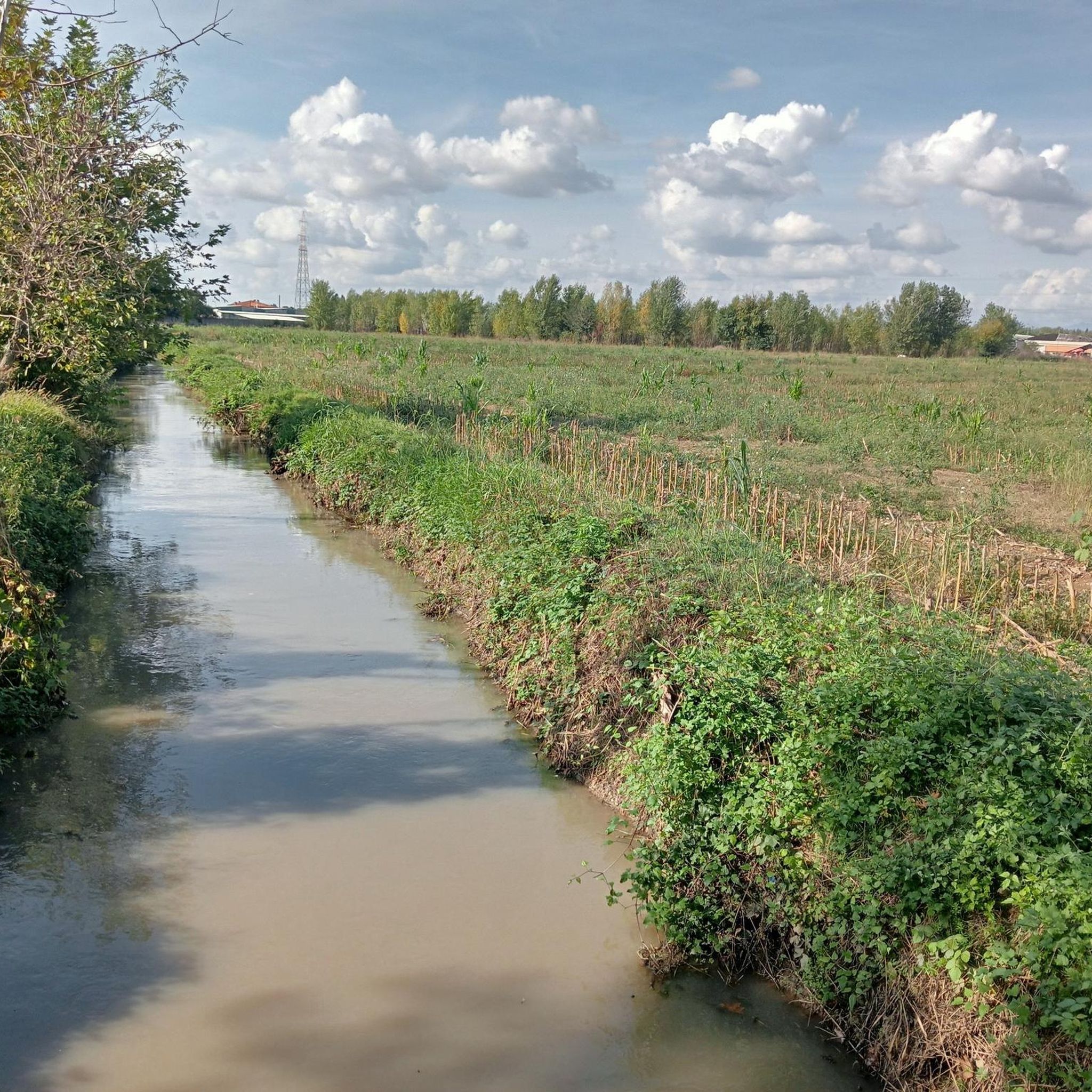
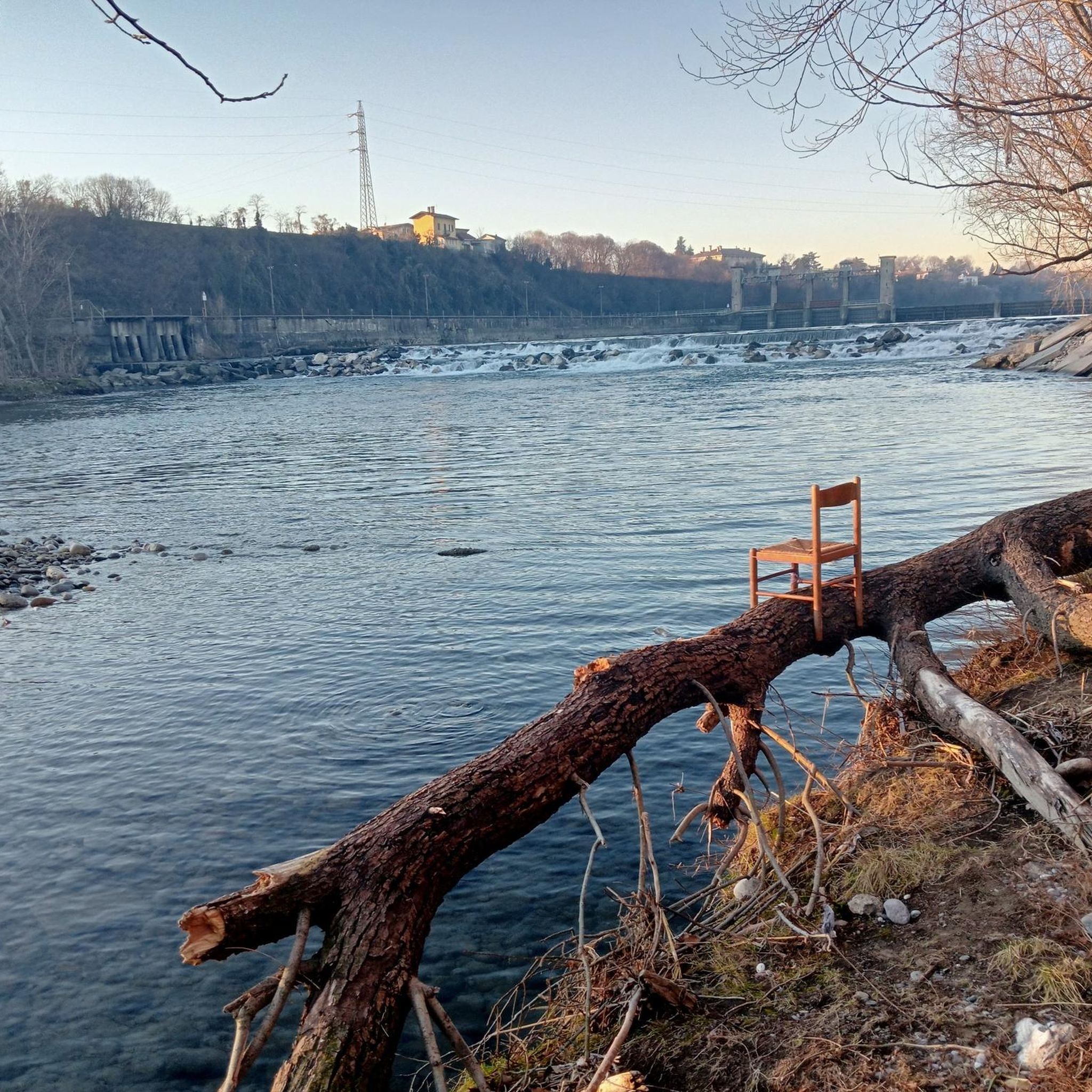
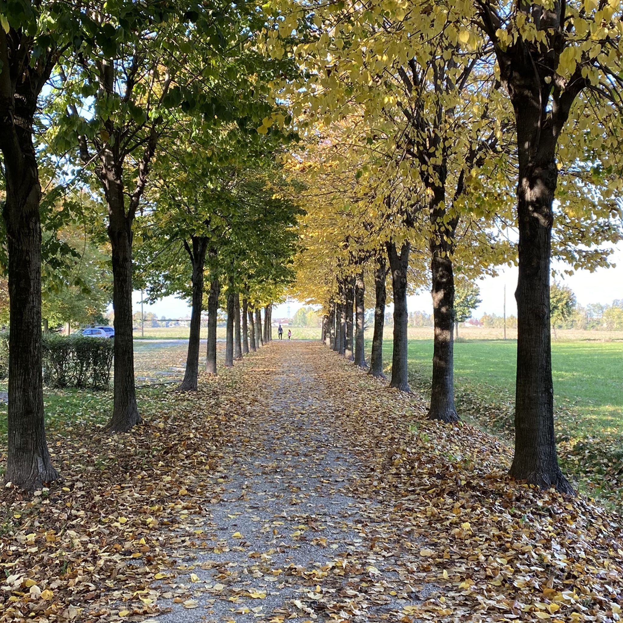
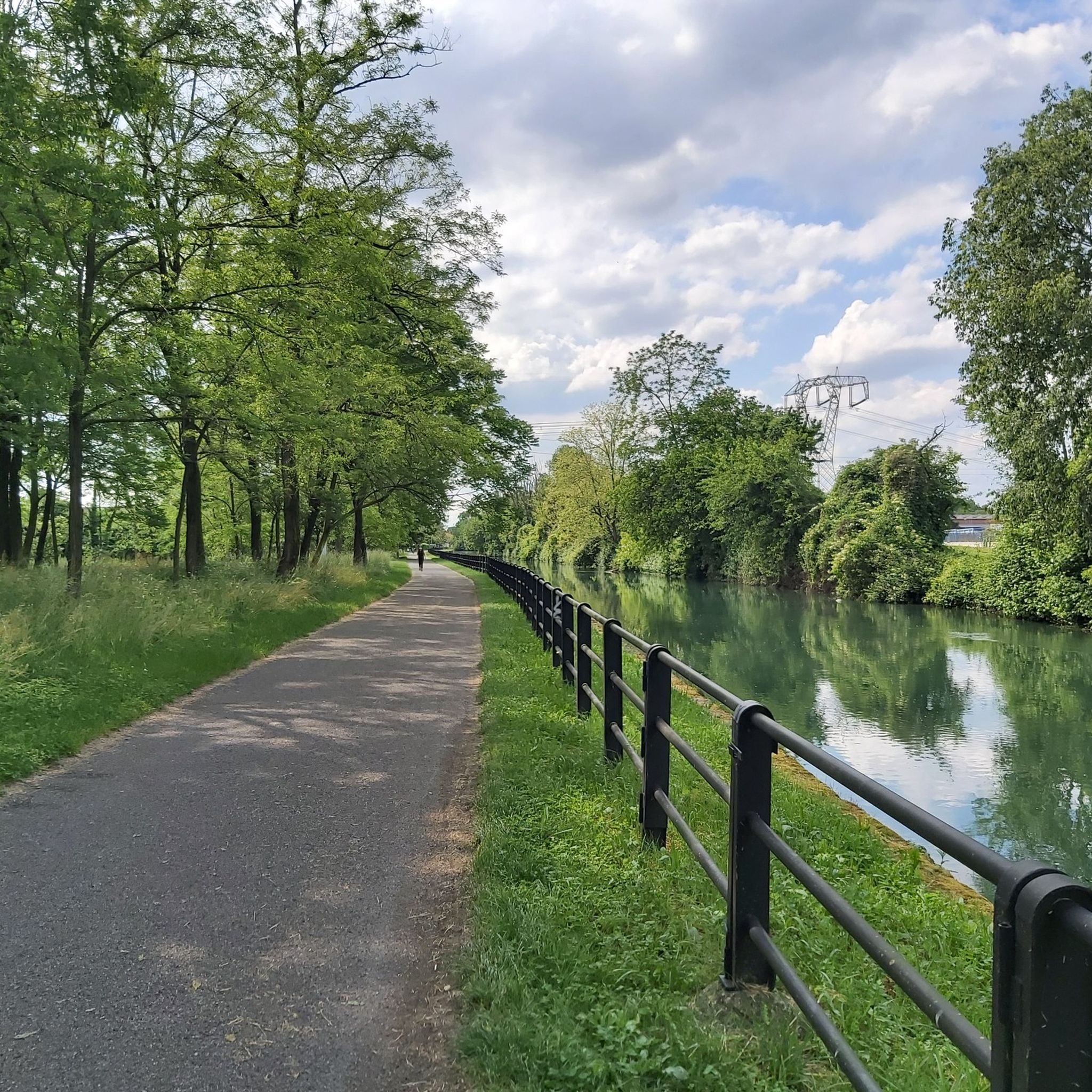

Tips from the Community

Il Laghetto del Parco del Maglio is not located in the immediate vicinity of Sesto San Giovanni or Milan. The area with this name that is closest and most relevant for a day trip is Borgo del Maglio in Ome, located in Franciacorta (BS), about 85 km away and an hour and a half by car.
0
0

Small park in Treviglio with a pond and a stretch of cycle path.
2
0
In ancient times, Treviglio was surrounded by woods, now reduced to a few like the Bosco del Castagno. Ideal place for relaxation and learning, dedicated to Wangari Maathai, Nobel Peace Prize winner.
2
0

The Tower of Castel Cerreto
0
0

An enchanted forest, populated by fairies, gnomes and druids. This is the new face that Bosco del Castagno is taking on, the naturalistic oasis north of the Castel Cerreto hamlet, thanks to the contribution of the city's artists.
1
0
Frequently Asked Questions
Are there easy hiking trails suitable for beginners or families in Treviglio?
Yes, Treviglio is known for its gentle terrain and minimal elevation changes, making it ideal for easy hikes. Many routes are accessible for beginners and families. For example, the Church of Castel Cerreto – Bosco del Castagno loop from Geromìna is an easy 4.1-mile (6.6 km) trail.
Can I find circular hiking routes around Treviglio?
Absolutely. Many of the hiking routes in Treviglio are designed as loops, allowing you to start and end at the same point. A popular option is the Church of Castel Cerreto – Bosco del Castagno loop from Treviglio, which covers 5.7 miles (9.1 km).
What is the typical length and duration of hikes in the Treviglio area?
Hikes around Treviglio generally range from moderate distances. For instance, the Church of Castel Cerreto loop from Castel Cerreto is 5.1 miles (8.2 km) and takes about 2 hours 5 minutes. Longer options, like the Church of Castel Cerreto – Laghetto del Parco del Maglio loop from Treviglio, extend to 7.1 miles (11.5 km) and can take around 2 hours 54 minutes.
Are the hiking trails around Treviglio suitable for dogs?
Yes, the rural paths and woodlands around Treviglio are generally suitable for dogs. It's always recommended to keep your dog on a leash, especially when passing through agricultural areas or near livestock, and to carry water for them.
What is the best time of year to go hiking in Treviglio?
The gentle terrain of Treviglio makes it suitable for hiking throughout much of the year. Spring and autumn offer pleasant temperatures and beautiful scenery, with blooming fields or colorful foliage. Summer can be warm, so early morning or late afternoon hikes are preferable. Winter hiking is also possible due to the minimal elevation, though paths might be damp.
Are there any interesting landmarks or attractions to see along the hiking trails?
While hiking around Treviglio, you can explore various points of interest. Nearby attractions include historical sites like the Taccani Hydroelectric Power Plant and Trezzo Castle Tower, or the picturesque The Rudun Water Wheel, Groppello d'Adda. You might also encounter charming castles such as Corneliano Bertario Castle or Castello di Pagazzano.
What do other hikers enjoy most about hiking in Treviglio?
The area is highly rated by the komoot community, with an average score of 4.3 stars from over 400 reviews. Reviewers often praise the tranquil rural landscapes, the quiet woodlands, and the well-maintained paths that offer a relaxing outdoor experience away from city bustle.
Are there options for parking near the trailheads in Treviglio?
Yes, for many routes starting from villages or specific points like Castel Cerreto or Treviglio itself, you can typically find parking options. It's advisable to check the starting point details of your chosen route on komoot for specific parking information.
Can I access hiking trails in Treviglio using public transport?
Treviglio is a well-connected town, and some trailheads may be accessible via local public transport. For routes starting directly from Treviglio, you can often reach the starting point from the train station or bus stops. For routes further afield, a combination of public transport and a short walk might be necessary.
Are there any cafes or places to eat near the hiking routes?
As the trails often connect small villages and rural areas, you may find local cafes, trattorias, or small shops in these settlements where you can stop for refreshments or a meal. Treviglio itself offers a wider selection of dining options.
What kind of terrain can I expect on the hiking trails around Treviglio?
The terrain around Treviglio is predominantly flat, characterized by agricultural plains, interspersed with small wooded areas and tranquil water features. You can expect mostly unpaved paths, gravel tracks, and some paved sections through villages, all with minimal elevation changes.
Most popular routes around Treviglio
Most popular attractions around Treviglio

Get inspired with the komoot mobile app


Explore more
Browse the best Hikes in other regions.
