The best running trails around Torre Pallavicina
4.5
(36)
1,566
runners
119
runs
Jogging routes around Torre Pallavicina are characterized by the flat plains of Lombardy, offering accessible terrain for various fitness levels. The region is situated along the Oglio River, within the Oglio North Park, providing scenic riverside paths and green spaces. Runners can explore routes that traverse rural landscapes, often alongside irrigation canals, and pass historical landmarks. This environment offers a mix of natural beauty and cultural interest for outdoor activity.
Best jogging routes around Torre Pallavicina
- The most popular jogging…
Last updated: November 1, 2026
21
runners
6.15km
00:39
10m
10m
Moderate run. Good fitness required. Mostly paved surfaces.
15
runners
8.67km
00:55
40m
40m
Moderate run. Good fitness required. Mostly paved surfaces.

15
runners
7.50km
00:46
20m
20m
Moderate run. Good fitness required. Mostly paved surfaces.
16
runners
10.1km
01:03
40m
40m
Moderate run. Good fitness required. Mostly paved surfaces.
8
runners
9.55km
00:59
10m
10m
Moderate run. Good fitness required. Mostly paved surfaces.
Get access to more routes and recommendations from other explorers.
Already have an account?
Our route recommendations are based on thousands of hikes, rides, and runs completed by other people on komoot.
Start today with a free account
Your next adventure awaits.

Tips from the Community

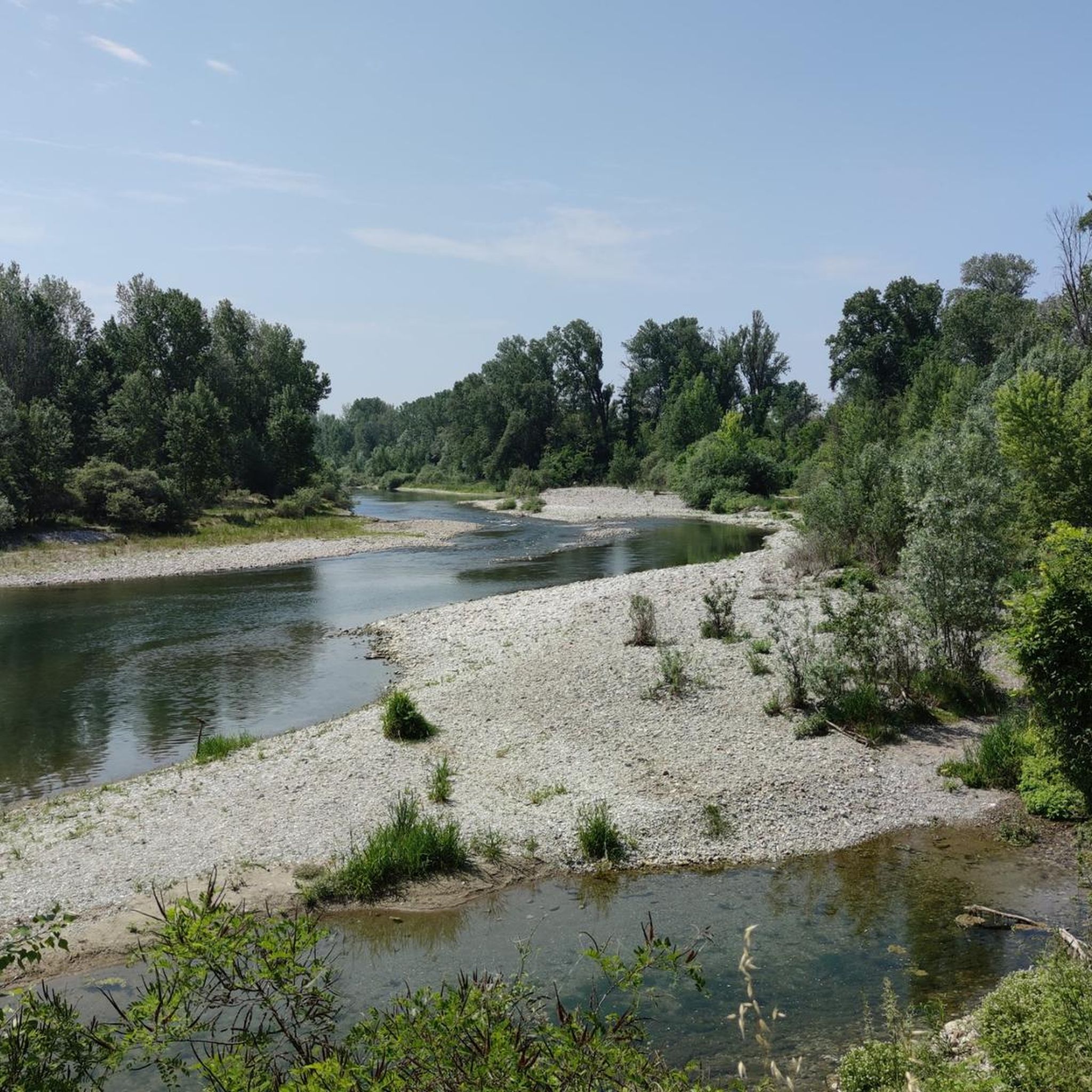
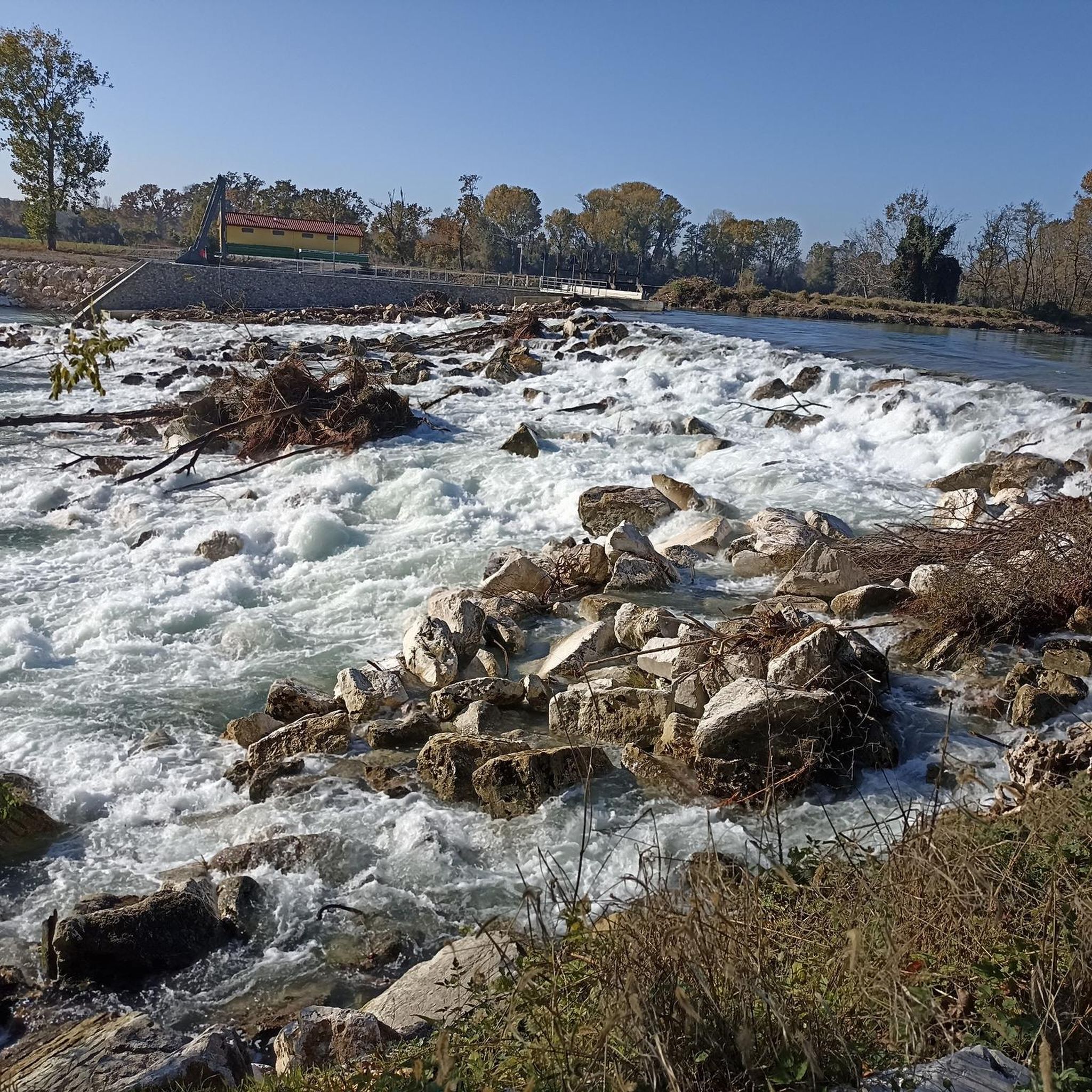
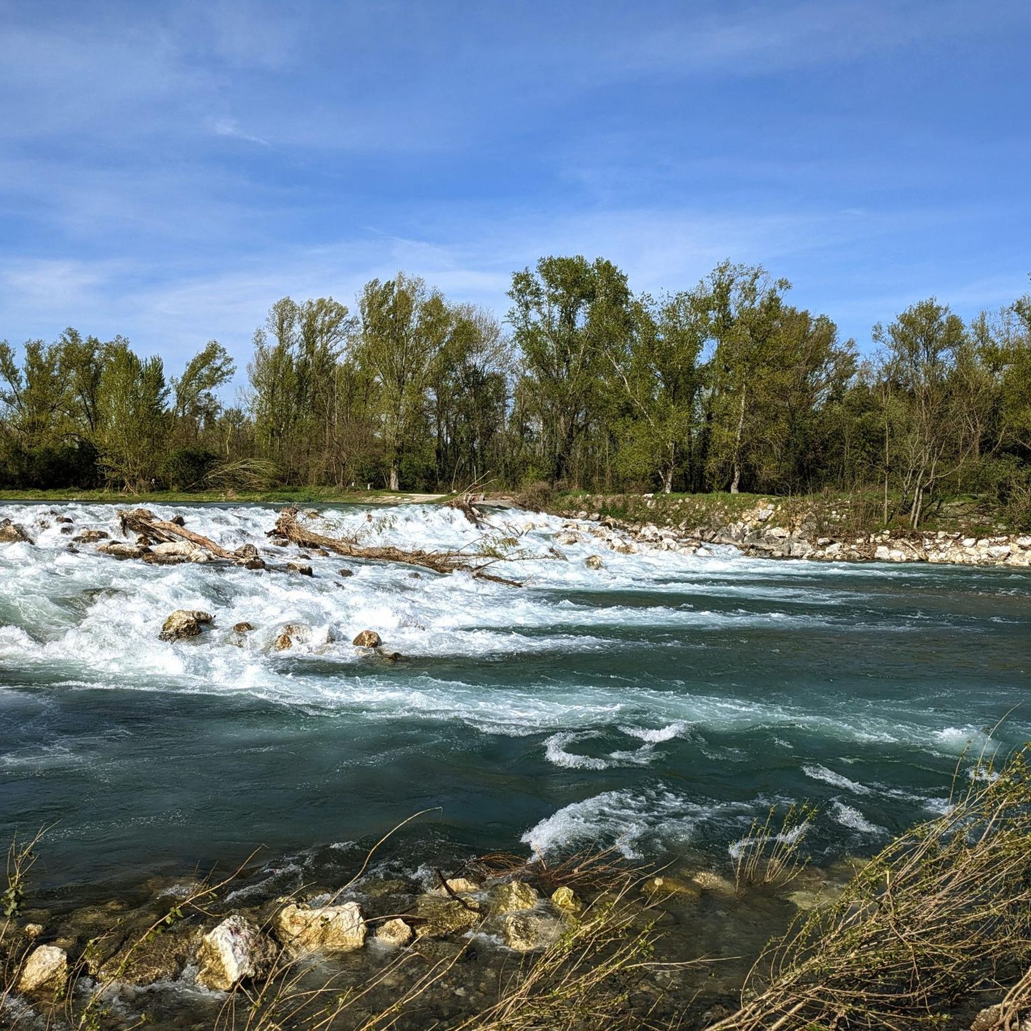
Between woods and fields along the canal
0
0
pay attention to the dirt section between the Vacchelli canal that flows into the Oglio Genivolta bank for about 15Km because the dirt road is often interrupted by plants and shrubs
0
0

cite the Naviglio della Melotta wanted by Francesco Sforza, the progenitor of the Sforza dynasty in Milan, as well as the husband of Bianca Maria Visconti. Having received the entire Cremonese territory as a dowry from the Visconti, in addition to the Naviglio Civico he built a derivation of the Naviglio della Melotta to increase navigation capacity along the waters that lead from the lower Bergamo area to the Cremasco and Cremona. The Naviglio della Melotta originates just south of Fontanella from the Naviglio Civico and flows almost entirely in the Cremasco area. To the south of the Melotta hamlet, the so-called Pianalto di Romanengo (today a protected area) enters a “relief of 10/15 m above the surrounding plain. The passage by bike is on a dirt road and then the final asphalt part and it is a very beautiful, lonely and rich in bird area being in a protected area.
0
0
Frequently Asked Questions
How many running routes are available around Torre Pallavicina?
There are over 110 running routes available around Torre Pallavicina, offering a wide variety of options for different preferences and fitness levels. The majority of these routes are considered moderate, with a good selection of easy and some more challenging trails as well.
What kind of terrain can I expect on the running trails in Torre Pallavicina?
The running trails around Torre Pallavicina are primarily characterized by the flat plains of Lombardy. You'll find routes along the Oglio River and within the Oglio North Park, often utilizing country roads and paths. Many trails follow irrigation canals like the Naviglio Pallavicino, providing pleasant waterside views. The terrain is generally accessible, making it suitable for various skill levels.
Are there any historical landmarks or interesting sights along the jogging routes?
Yes, several routes offer glimpses of historical and natural attractions. You might run past elegant estates like Palazzo Barbò with its expansive green park, or the historic Torre di Tristano. Other notable landmarks in the wider area include the Sforza Castle in Soncino, the Visconti Fortress of Romano di Lombardia, and the Shrine of the Madonnina dell'Oglio.
What do other runners say about the trails in Torre Pallavicina?
The running routes in Torre Pallavicina are highly rated by the komoot community, with an average score of 4.6 stars from over 20 reviews. Runners often praise the tranquil rural scenery, the accessible flat terrain, and the opportunities to enjoy riverside views along the Oglio River and its canals.
Are there any easy running routes suitable for beginners or a relaxed jog?
Yes, Torre Pallavicina offers about 10 easy running routes, perfect for beginners or those looking for a relaxed jog. These trails typically feature minimal elevation gain and smooth paths, allowing you to enjoy the scenery without significant challenge.
Can I find circular running routes in the area?
Many of the running routes around Torre Pallavicina are designed as loops, offering convenient circular options. For example, the Naviglio della Melotta loop from Fontanella is a popular choice that provides waterside views on a circular path.
Are there any running routes that pass by the Oglio River?
Absolutely. The Oglio River is a central feature of the region, and many running routes are situated along its banks or within the Oglio North Park. These trails offer scenic riverside views and a natural setting, perfect for enjoying the water and surrounding greenery.
What is a good moderate-difficulty running route near Torre Pallavicina?
A great moderate-difficulty option is the Running loop from Rudiano. This 4.2-mile (6.7 km) path explores the flat, rural scenery typical of the area and is a favorite among local runners.
Are there any longer running routes for more experienced runners?
For those seeking a longer run, the Soncino Castle – Soncino Fortress loop from Soncino covers approximately 5.7 miles (9.2 km). This route offers a good distance while still enjoying the area's characteristic flat terrain and historical points of interest.
What is the best time of year to go jogging in Torre Pallavicina?
The flat plains and rural scenery of Torre Pallavicina are enjoyable throughout much of the year. Spring and autumn offer pleasant temperatures and beautiful landscapes, with poppy fields in bloom during spring. Even during sunrise, the lowland scenery provides a tranquil and picturesque backdrop for your runs.
Are there any running routes that offer a mix of nature and cultural interest?
Many routes in the area combine natural beauty with cultural interest. For instance, the Running loop from Soncino leads through open countryside while being close to the historic town of Soncino, allowing you to experience both the natural environment and local heritage.
Most popular routes around Torre Pallavicina
Most popular attractions around Torre Pallavicina

Get inspired with the komoot mobile app


Explore more
Browse the best Running Trails & Routes in other regions.
