The best MTB trails around Triberg
4.6
(93)
237
riders
22
rides
Mountain biking around Triberg im Schwarzwald offers diverse terrain within the Southern Black Forest Nature Park. The region is characterized by dense coniferous forests, picturesque valleys, and rolling hills. These natural features provide a varied landscape for mountain bike routes, ranging from forest paths to more challenging trails. The area's Black Forest scenery, including the Triberg Waterfalls, adds to the experience.
Best mountain bike trails around Triberg
- The most popular mountain bike trail is Schnapshäusle Self-Service – Reinertonishof Farm Restaurant loop from Triberg Stöcklewald, an easy 13.9 miles (22.3 km) trail that takes 1 hour 40 minutes to complete, winding through scenic Black Forest landscapes.
- Another top favourite among local mountain bikers is View from Friedrichshöhe – View of Rohrbach Valley loop from Nußbach, a moderate 29.7 miles (47.8 km) path offering panoramic views of the Rohrbach Valley.
- Local mountain bikers also love the Stoecklewald Tower – Stöcklewald Tower with restaurant loop from Triberg, a 14.7 miles (23.7 km) trail leading through dense forests to the Stöcklewald Tower, often completed in about 2 hours 10 minutes.
- Mountain biking around Triberg is defined by dense forests, picturesque valleys, and rolling hills. The network offers options for easy, moderate, and difficult routes, catering to various skill levels.
- The routes in Triberg im Schwarzwald are highly rated by the komoot community with an average score of 4.7 stars from over 80 reviews. More than 250 mountain bikers have used komoot to explore Triberg im Schwarzwald's varied terrain.
Last updated: October 7, 2026
4.9
(21)
47
riders
48.8km
04:08
820m
820m
Moderate mountain bike ride. Good fitness required. Advanced riding skills necessary.
4.7
(3)
18
riders
23.6km
02:09
570m
570m
Moderate mountain bike ride. Good fitness required. Advanced riding skills necessary.

5.0
(8)
26
riders
51.7km
04:26
900m
900m
Hard mountain bike ride. Very good fitness required. Advanced riding skills necessary.
5.0
(1)
6
riders
23.1km
02:10
590m
590m
Moderate mountain bike ride. Good fitness required. Advanced riding skills necessary.
4.1
(8)
14
riders
21.3km
01:46
440m
440m
Moderate mountain bike ride. Good fitness required. Suitable for all skill levels.
Get access to more routes and recommendations from other explorers.
Already have an account?
Our route recommendations are based on thousands of hikes, rides, and runs completed by other people on komoot.
Start today with a free account
Your next adventure awaits.
Popular around Triberg im Schwarzwald
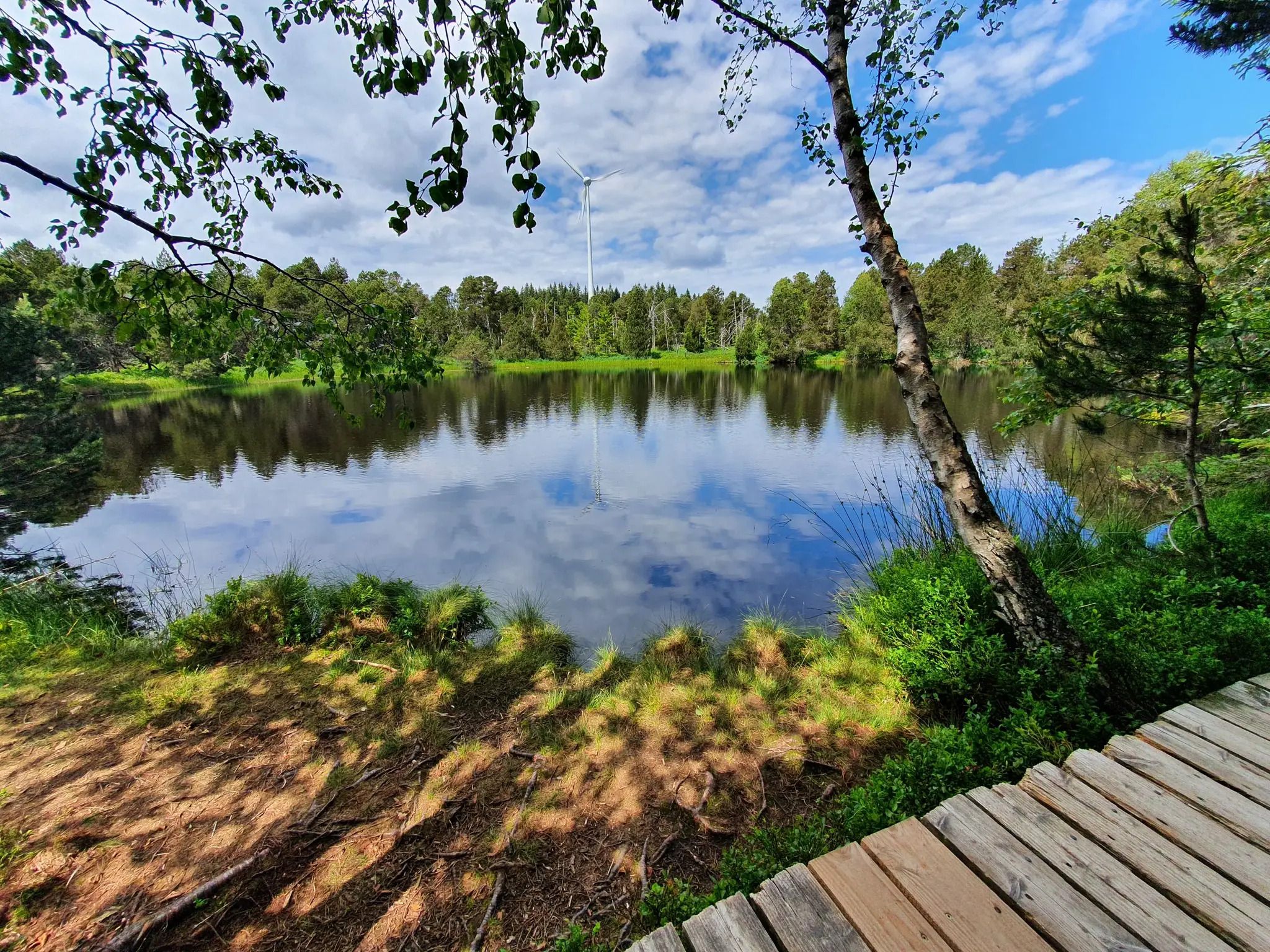
Hike the WasserWeltenSteig – Waterfalls, lakes and rivers of the Black Forest
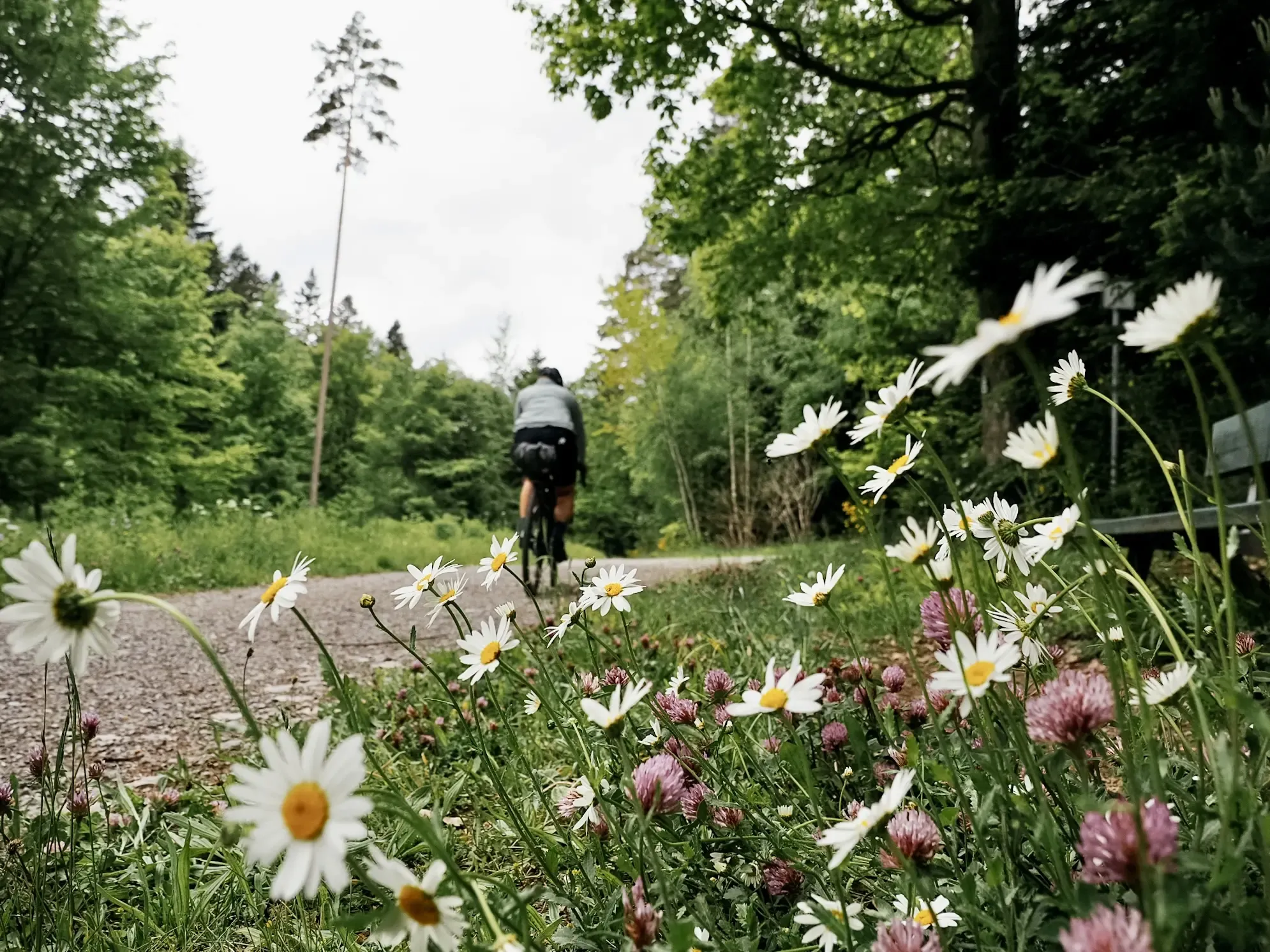
Naturparke-Gravel-Crossing: bikepacking in Baden-Württemberg

Discover premium and quality long-distance hiking in southern Germany
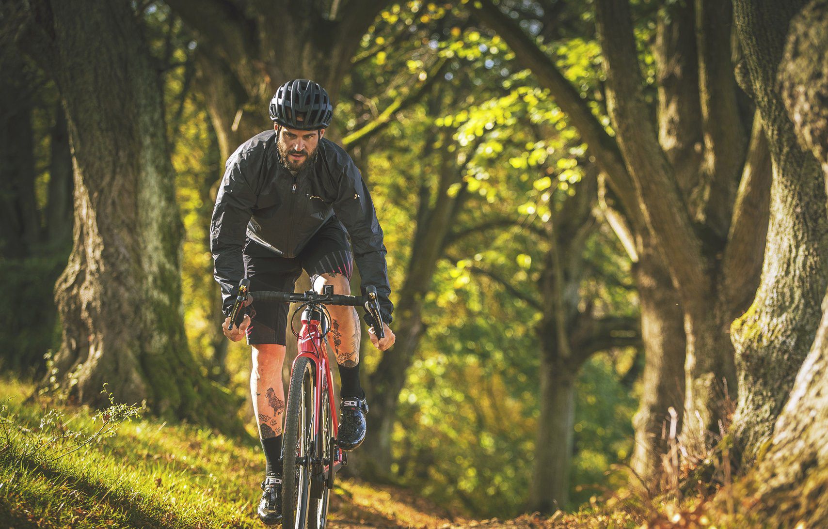
Nature Park Gravel Crossing from North to South – Baden-Württemberg
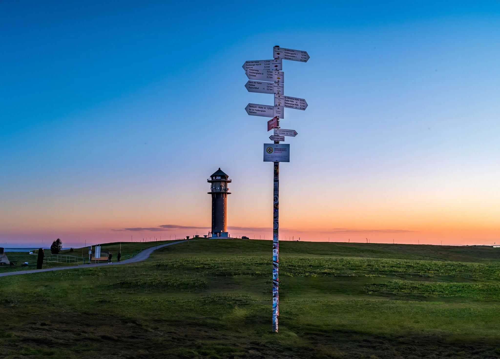
The most beautiful long-distance hiking trails in the Black Forest
Like a fairytale – Germany during Advent
Ravines, gorges and waterfalls for winter
Germany's roaring waterfalls
Hiking around Triberg
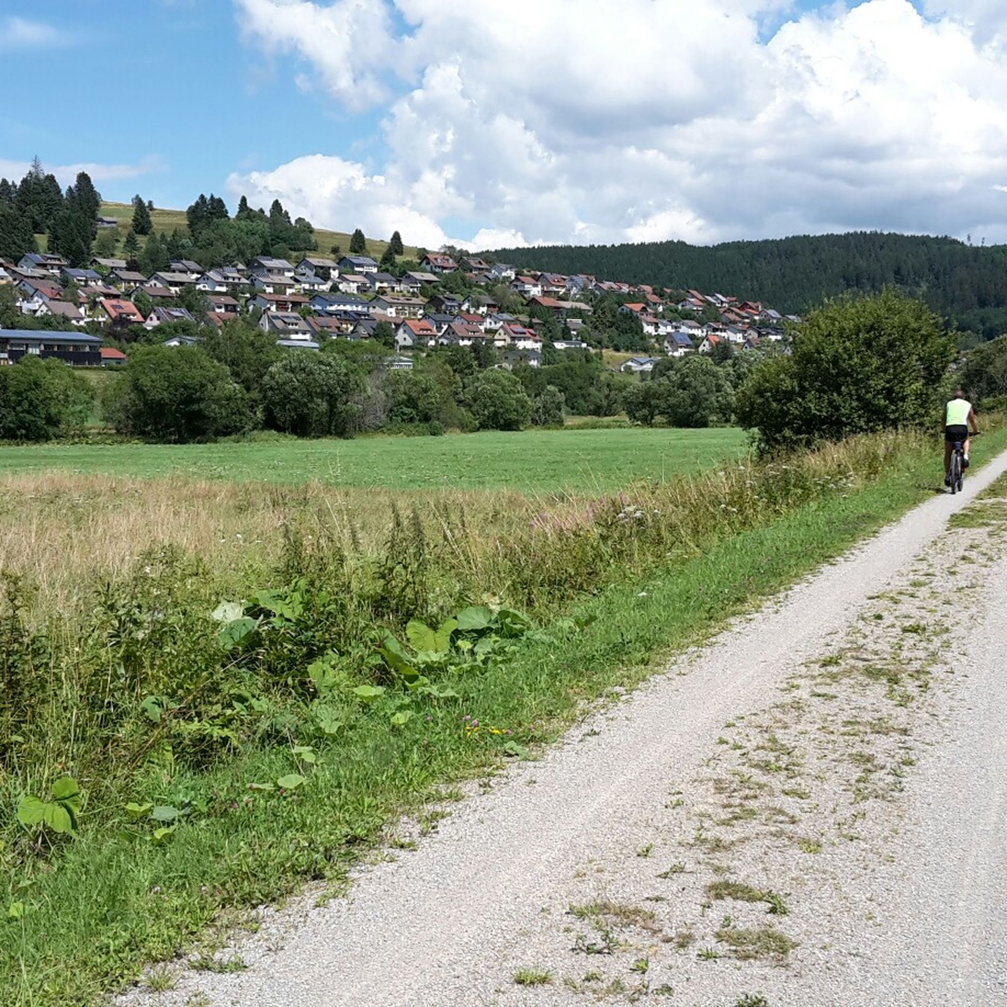
Cycling around Triberg
Other adventures around Triberg


Tips from the Community

great tower with a place to stop for refreshments
0
0
great tower with a place to stop for refreshments
0
0

You can eat and drink well here. A break is definitely worth it
0
0

A fun singletrack through the Black Forest — expect tree roots, soft terrain and a proper off-road feel. Suits gravel bikes well but take it easy if conditions are wet.
0
0


Clear traces of wagons or earlier means of transport can still be seen on the path.
0
0

Usually open on weekends and holidays Opening hours vary depending on the season and weather Typical dishes: light meals, soups, cakes, simple hot dishes Highly recommended
0
0

Here you are at the highest point: 1024 meters. This is also the highest elevation in the St. George area.
1
0
Frequently Asked Questions
How many mountain bike trails are available around Triberg im Schwarzwald?
There are nearly 30 mountain bike trails around Triberg im Schwarzwald, offering a diverse range of experiences. These include 2 easy routes, 19 moderate routes, and 7 difficult routes, catering to various skill levels.
What kind of terrain can I expect on mountain bike trails in Triberg?
Mountain biking around Triberg im Schwarzwald features a varied landscape of dense coniferous forests, picturesque valleys, and rolling hills. You'll encounter a mix of forest paths, roads, and some challenging trail sections, all within the Southern Black Forest Nature Park.
Are there any family-friendly mountain bike trails in Triberg?
Yes, Triberg offers some family-friendly options. For an easier ride, consider the Schnapshäusle Self-Service – Reinertonishof Farm Restaurant loop from Triberg Stöcklewald, which is an easy 22.3 km trail that takes about 1 hour 40 minutes to complete, winding through scenic Black Forest landscapes.
Can I find circular mountain bike routes in Triberg im Schwarzwald?
Absolutely. Many of the mountain bike routes in Triberg are designed as loops. For example, the popular Stoecklewald Tower – Stöcklewald Tower with restaurant loop from Triberg is a 23.7 km trail that leads through dense forests and typically takes around 2 hours 10 minutes.
What natural attractions can I see while mountain biking near Triberg?
The region is rich in natural beauty. You can visit the iconic Triberg Waterfalls, Germany's highest, or explore the mystical Blindensee, a legendary lake in the moorland near Schönwald. Many trails also offer scenic views of dense forests and picturesque valleys.
Are there any viewpoints or landmarks accessible by mountain bike in the area?
Yes, several routes lead to notable viewpoints and landmarks. The View from Friedrichshöhe – View of Rohrbach Valley loop from Nußbach offers panoramic vistas. You can also ride to the Brend Tower, which provides excellent views, or the Stöcklewald Tower, often featuring a restaurant for a break.
What do other mountain bikers say about the trails in Triberg im Schwarzwald?
The mountain bike trails in Triberg im Schwarzwald are highly regarded by the komoot community, with an average rating of 4.7 stars from over 80 reviews. Nearly 300 mountain bikers have used komoot to explore the varied terrain, often praising the diverse landscapes and well-maintained paths.
Are there any singletrack trails for more experienced mountain bikers?
Yes, for those seeking more technical riding, there are singletrack options. The Singletrack trail by the Kirnach – Villingen Old Town Old Gate loop from Triberg is a moderate 54.7 km route that includes singletrack sections, offering a more challenging experience.
What is the best time of year for mountain biking in Triberg?
The Black Forest region, including Triberg, is generally excellent for mountain biking from spring through autumn. During these seasons, the weather is usually pleasant, and the trails are in good condition, allowing you to fully enjoy the dense forests and natural landscapes.
Are there any longer mountain bike routes for endurance riders?
For endurance riders, the View from Friedrichshöhe – View of Rohrbach Valley loop from Nußbach is a substantial 47.8 km route, typically taking around 3 hours 55 minutes. Another option is the Singletrack trail by the Kirnach – Villingen Old Town Old Gate loop from Triberg, which covers 54.7 km.
Can I find places to eat or rest along the mountain bike routes?
Some routes pass by places where you can stop for a break or a meal. For instance, the Stoecklewald Tower loop often includes a restaurant at the tower itself. The Schnapshäusle Self-Service – Reinertonishof Farm Restaurant loop also suggests a farm restaurant for refreshments.
Most popular routes around Triberg
Most popular attractions around Triberg

Get inspired with the komoot mobile app


Explore more
Browse the best MTB trails in other regions.
